 Canyoneering | Dry Fork Narrows of Coyote Gulch


Hype:
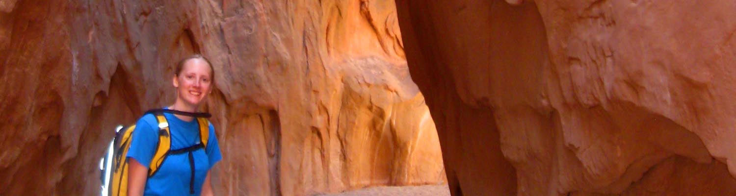
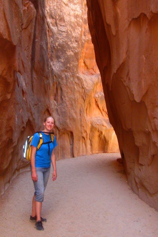
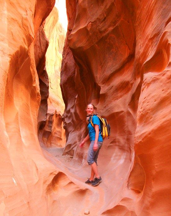
The Dry Fork Narrows of Coyote Gulch is an excellent family-friendly hike up a narrow canyon. While not technically a slot canyon because you can't touch both walls at the same time, the canyon walls are narrow and very tall.
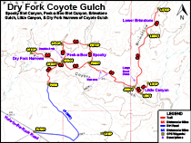
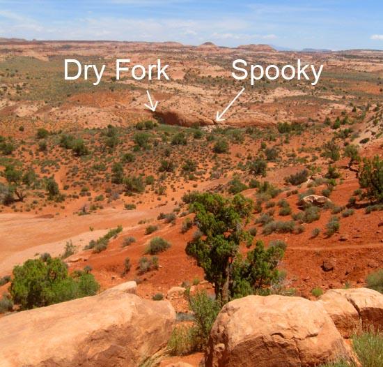
Access to the Dry Fork of Coyote Gulch is via the hole-in-the-rock road, which starts between Escalante, Utah and Boulder, Utah. Passenger cars can most likely make it to the parking area as long as recent storms haven't eroded the road too much. From the parking area, hike north down the hill. There are several "trails" so take your pick. At the bottom of the hill, you will enter the dry fork wash. On your left (northwest) will be the mouth of the Dry Fork Narrows. Walk up the canyon as far as you want to go and return the way you came.
While you are in the area, consider visiting Spooky Slot Canyon, Peek-a-Boo Slot Canyon, and Brimstone Gulch.
Canyon Rating: 1AI 
Time: 20-40 minutes
Length: 1.6 miles round trip from the parking lot or 1.0 mile round trip from the Spooky/Peek-a-Boo trail.
Longest Rappel: N/A
Gear: None
Fees: None
Recommended Ages:
 | 0-3 |
 | 4-11 |
 | 12-19 |
 | 20-49 |
 | 50-69 |
 | 70+ |
Recommended Months to Visit:
| Jan |
| Feb |
| Mar |
| Apr |
| May |
| Jun |
| Jul |
| Aug |
| Sep |
| Oct |
| Nov |
| Dec |
Permits: Free permits are required for overnight trips. Permits are available at several trailheads and at the Escalante Interagency Visitor Center
Navigate to 37.476802, -111.220171.
Closest City or Region: Grand Staircase-Escalante National Monument, Utah
Coordinates: 37.481152, -111.218079
By Jeremy Dye
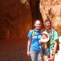
Jeremy Dye, Tara Dye, Savannah Dye, Arianne Dye, Zac Dye,
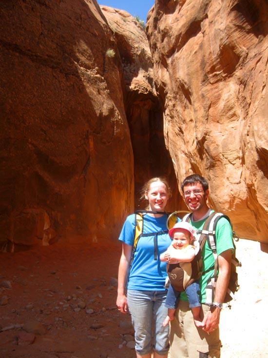
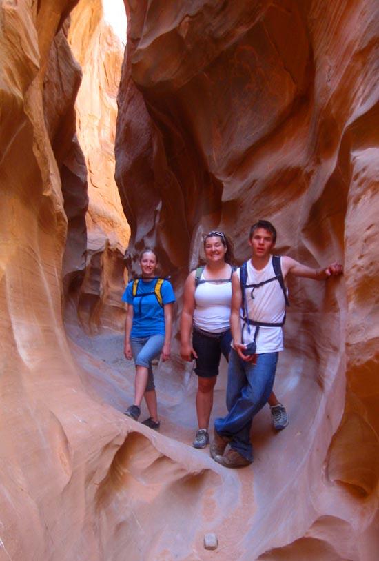
After our hike to Brimstone Gulch and Little Canyon, Zac and I met up with Arianne, Tara, and Savannah at the mouth of Dry Fork Narrows of Coyote Gulch.
Since we were already there, we decided to hike the Dry Fork Narrows of Coyote Gulch even though the girls had just barely finished it.
Dry Fork Narrows of Coyote Gulch is a fun and very easy hike through a shaded, sandstone canyon.
While not a true slot canyon, it is still very narrow and can be enjoyed by the whole family.
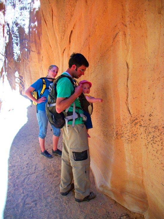
The canyon floor is covered with sand and gravel that make the walking very easy for most of the trail.
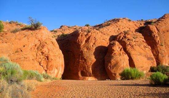
The entire canyon is only about 0.6 miles long.
We turned around shortly before the canyon opened up. There was a cool log wedged between the two canyon walls about 30-40 feet off the ground.
It took us 25 minutes to return to the car. That means that Zac and I explored 3 canyon in 5 hours and 20 minutes for a total of 8.1 miles.
We then went to camp to hang out for a while, then we went to Batty Pass Caves.


Big Hollow Wash Primitive Camping
Chimney Rock Primitive Camping
Early Weed Bench Primitive Camping
Escalante River Primitive Camp 1
Escalante River Primitive Camp 2
Fence Canyon Primitive Camping
Jacob Hamblin Trailhead Primitive Camping
Micro Death Hollow Primitive Camping
Zebra and Tunnel Trailhead Camping
Dry Fork Narrows of Coyote Gulch
Early Weed Bench to Escalante River
Escalante River to Early Weed Bench
Escalante Interagency Visitor Center
Big Hollow Wash Primitive Camping
Chimney Rock Primitive Camping
Early Weed Bench Primitive Camping
Jacob Hamblin Trailhead Primitive Camping
Micro Death Hollow Primitive Camping
Skutumpah Road Primitive Camping
Zebra and Tunnel Trailhead Camping
Dry Fork Narrows of Coyote Gulch
 No Drinking Water
 No Fires
 Slot Canyon
 Wayfinding
 No Restrooms
 Road Access is Dirt - High Clearance
 Access Road is 2WD Accessible
 Hiking Trails
 Wildflowers and Vegitation
 Wildlife and Birding
_550w.jpg)
_550w.jpg)
_550w.jpg)
_550w.jpg)
_550w.jpg)
_550w.jpg)
_550w.jpg)
_550w.jpg)
_550w.jpg)
_550w.jpg)
_550w.jpg)
_550w.jpg)
_550w.jpg)
_550w.jpg)