 Canyoneering | Coyote Gulch


Hype:
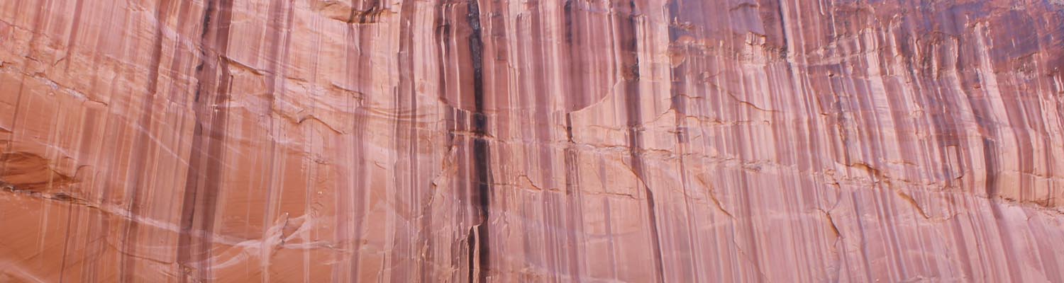
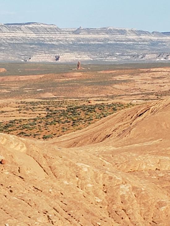
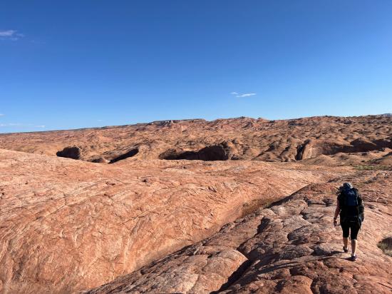
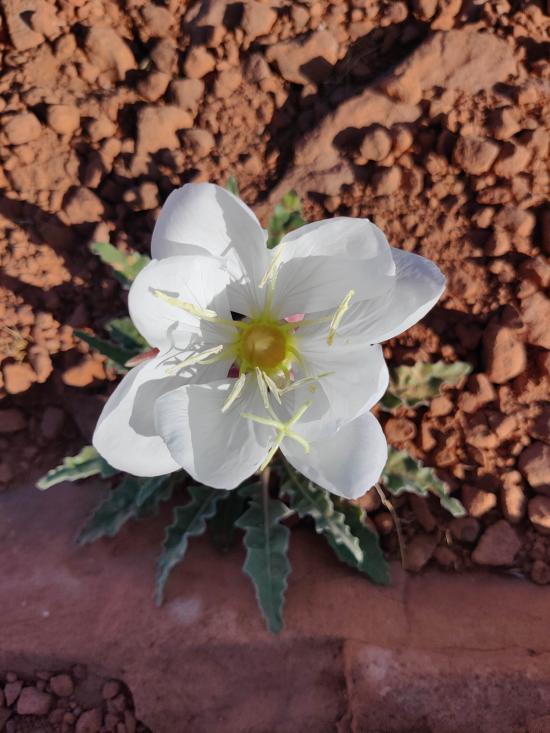
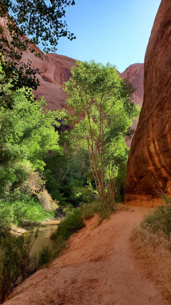
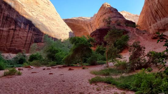
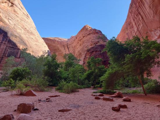
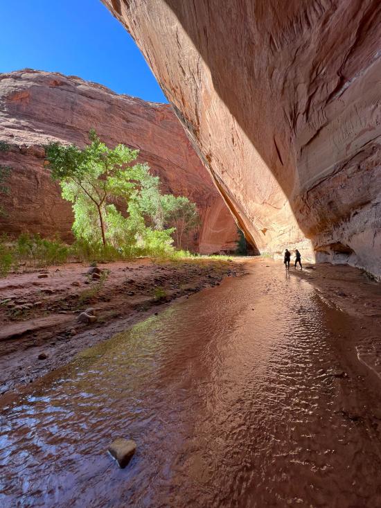
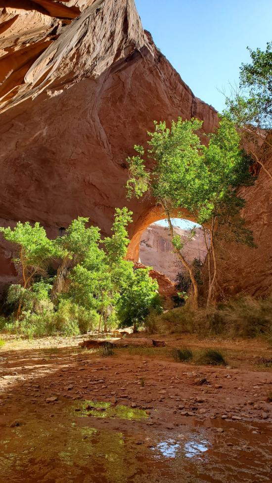
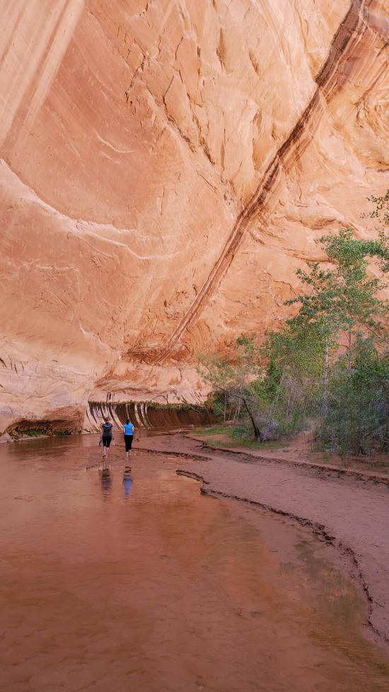
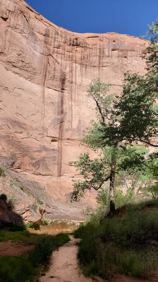
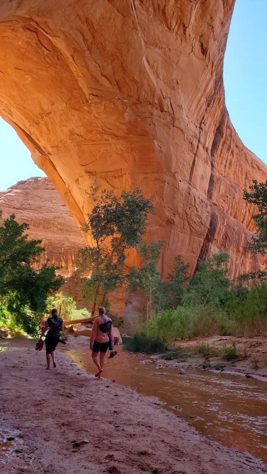
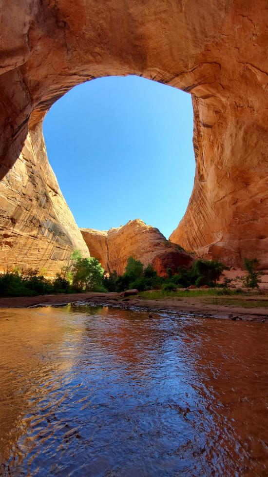
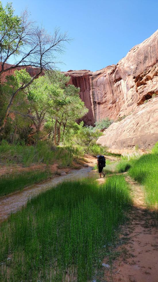
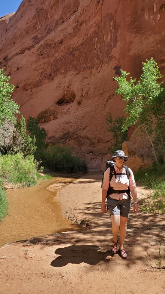
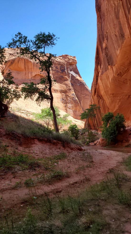
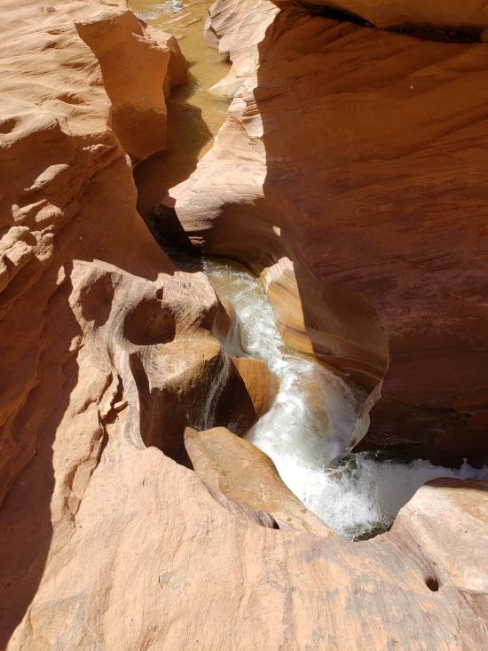
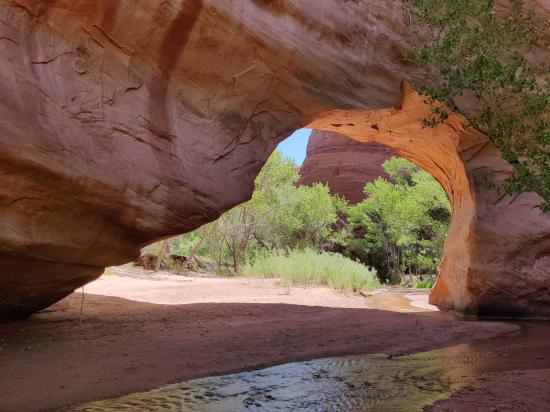
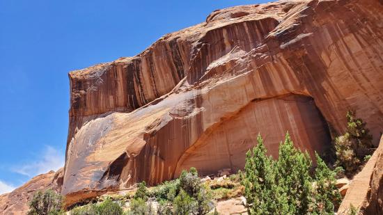
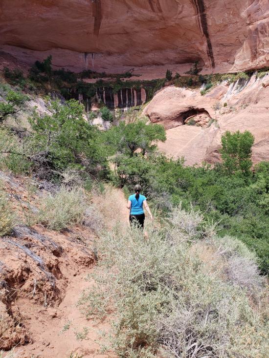
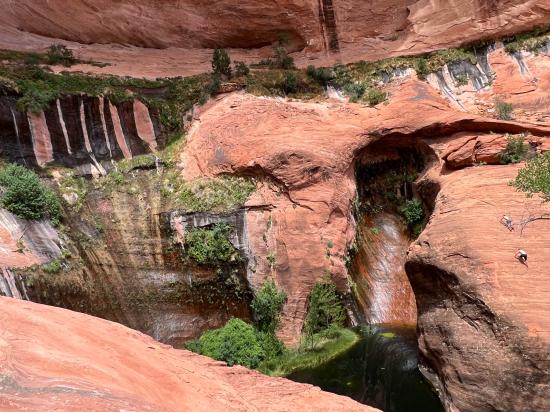
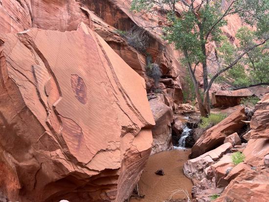
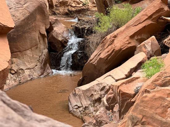
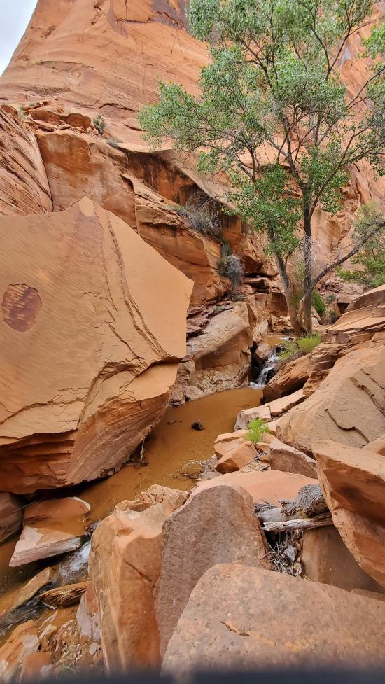
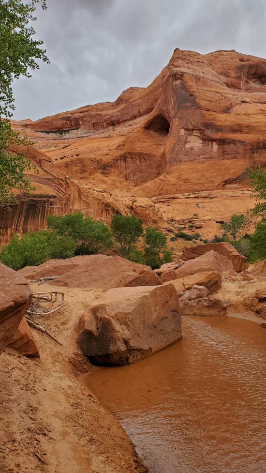
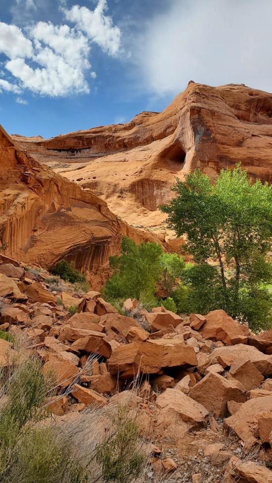
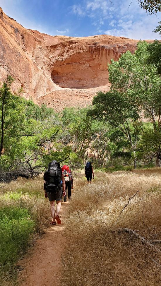
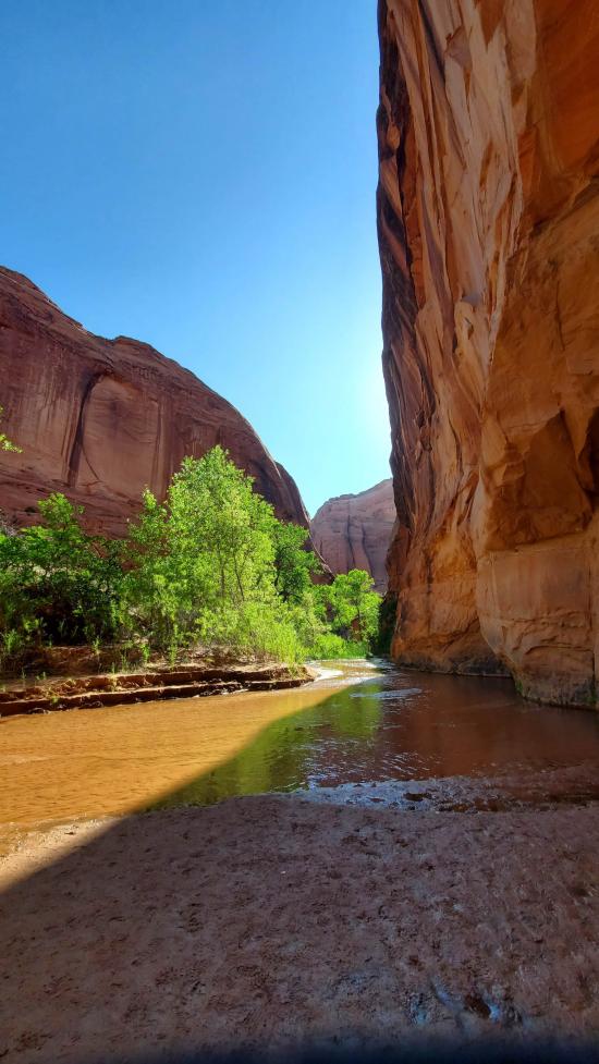
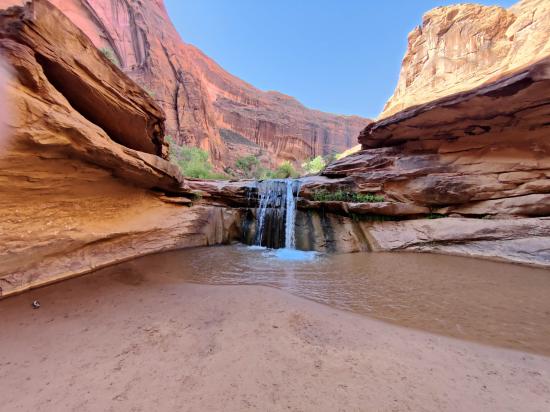
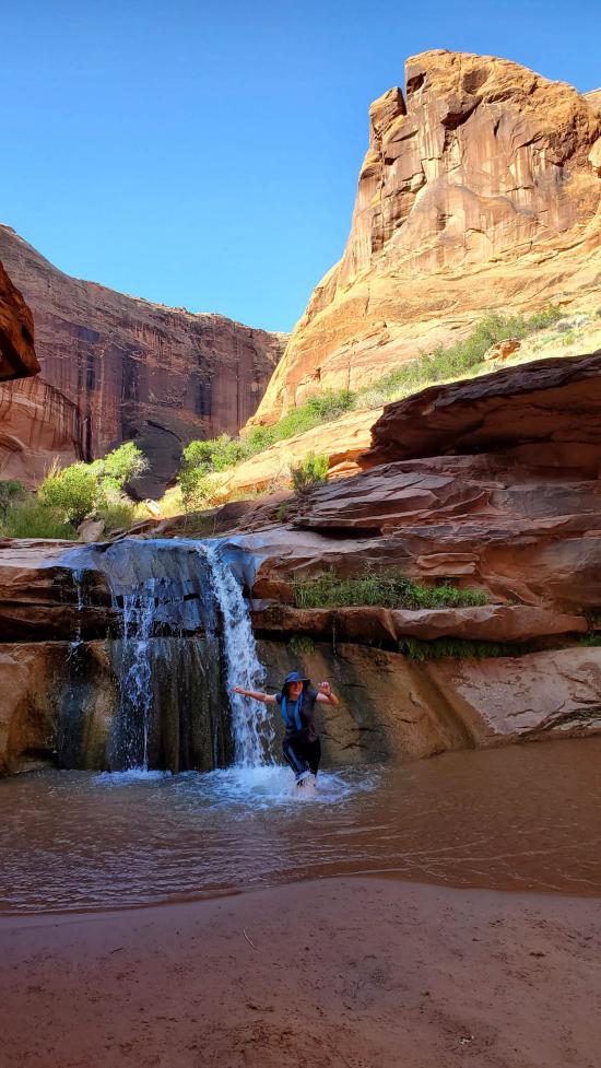
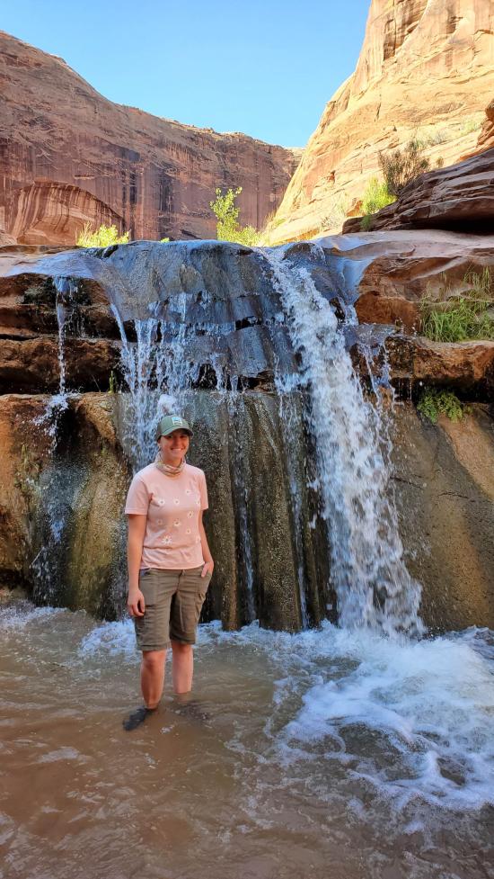
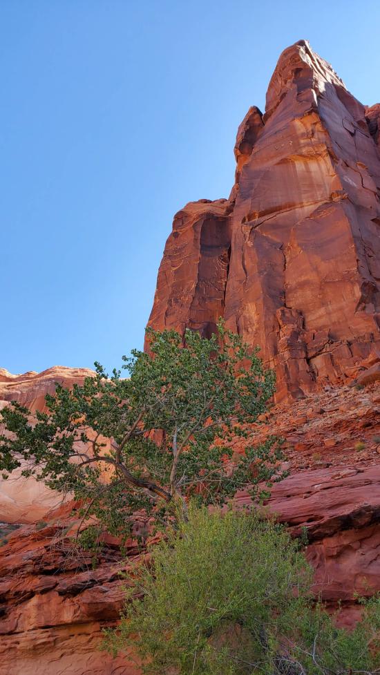
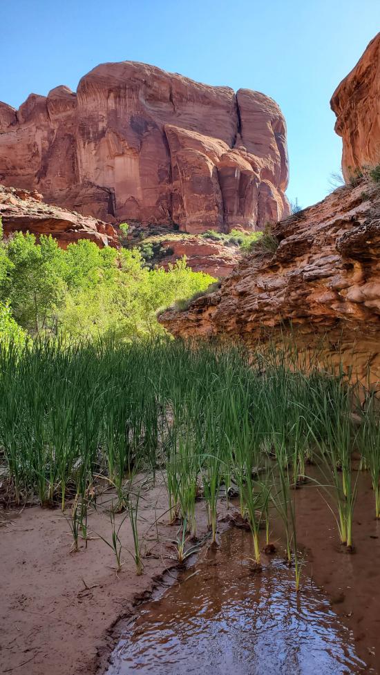
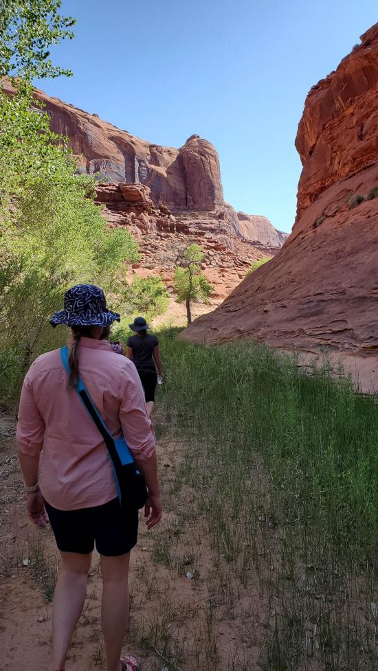
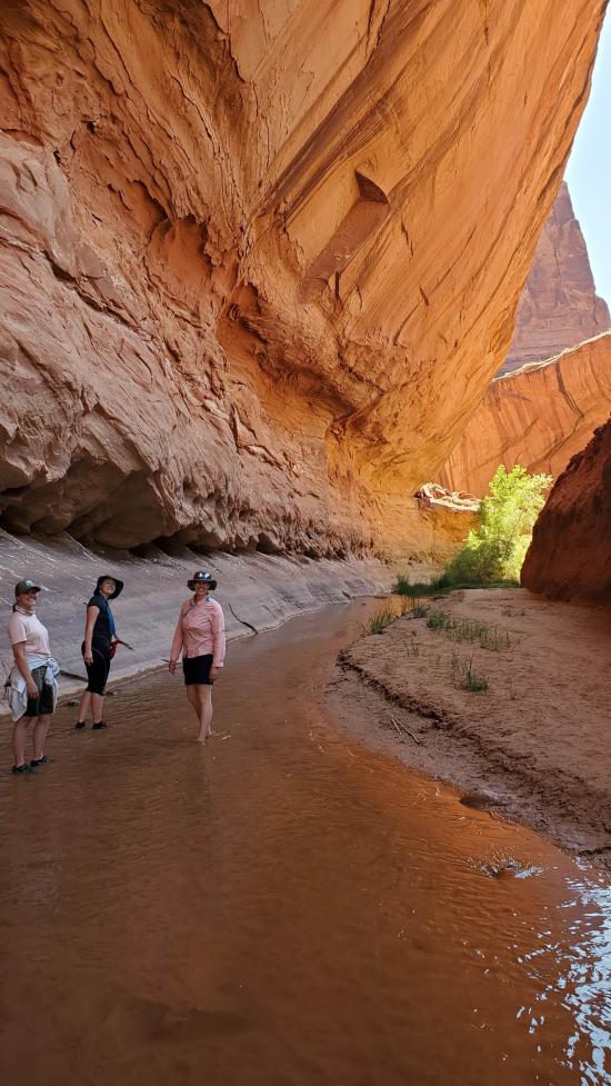
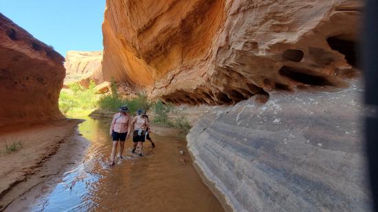
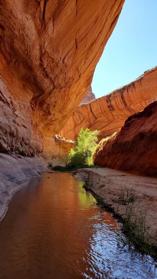
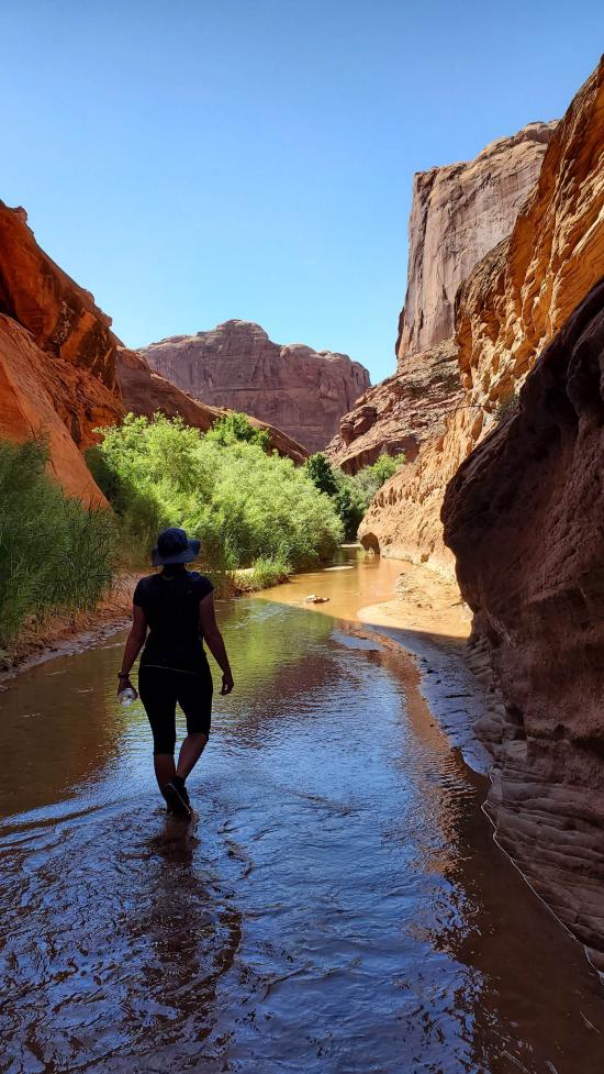
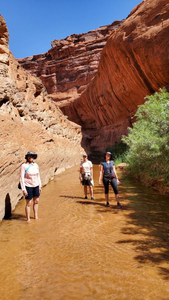
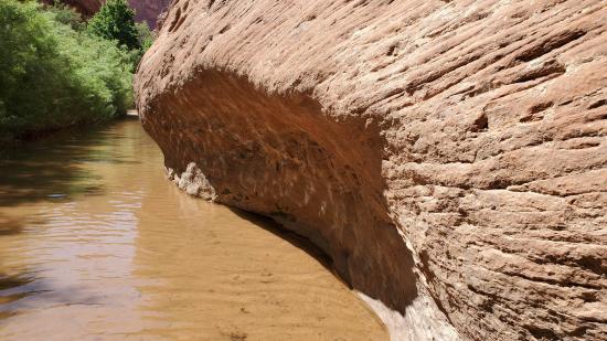
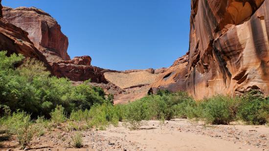
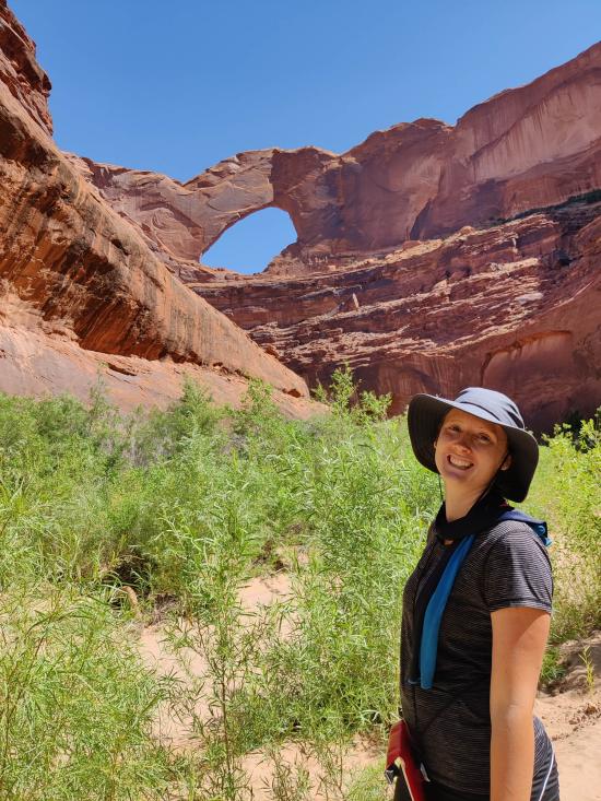
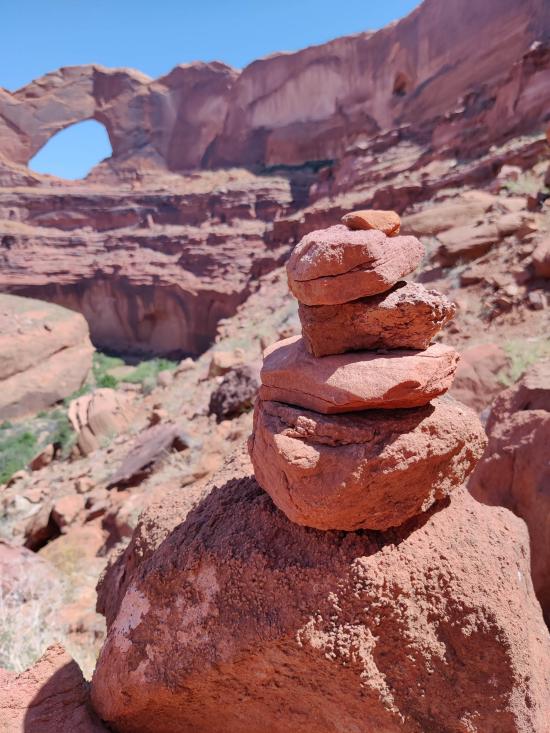
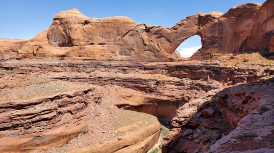
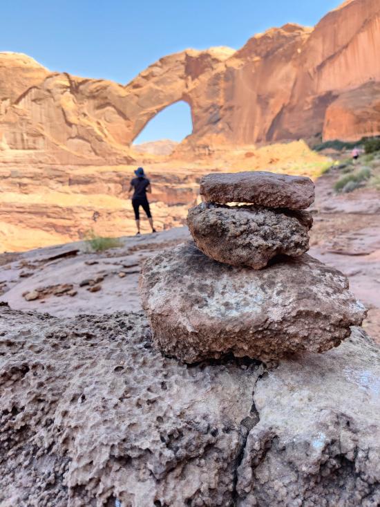
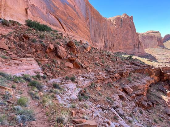
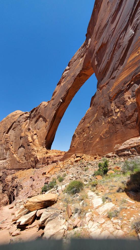
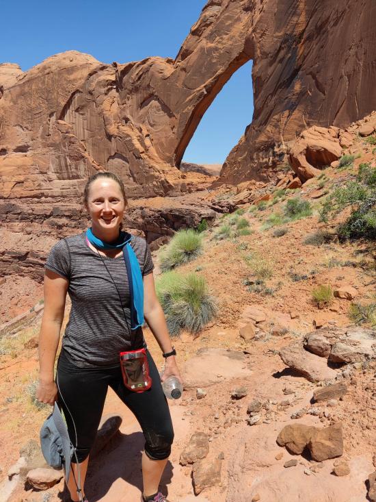
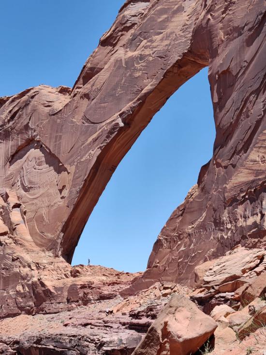
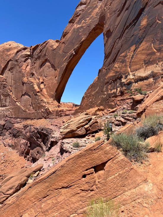
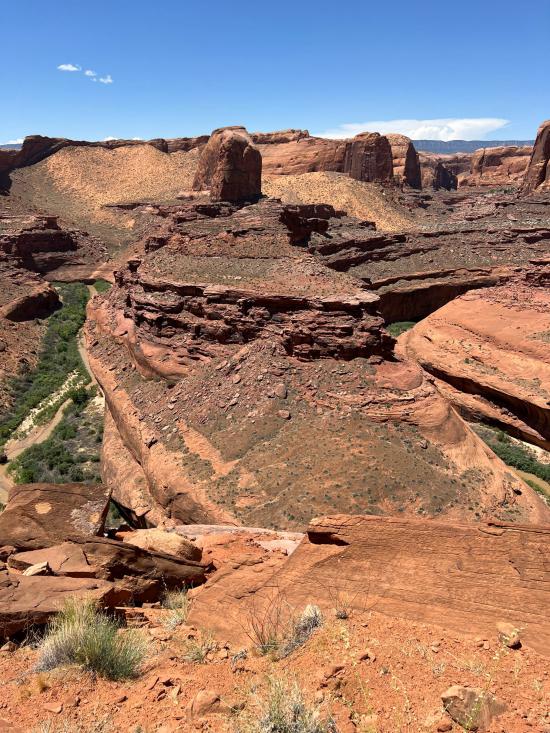
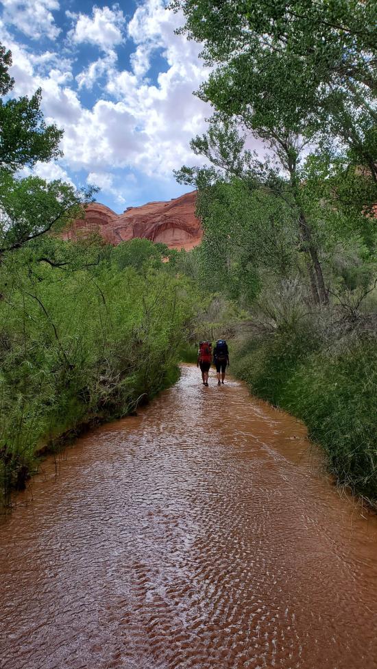
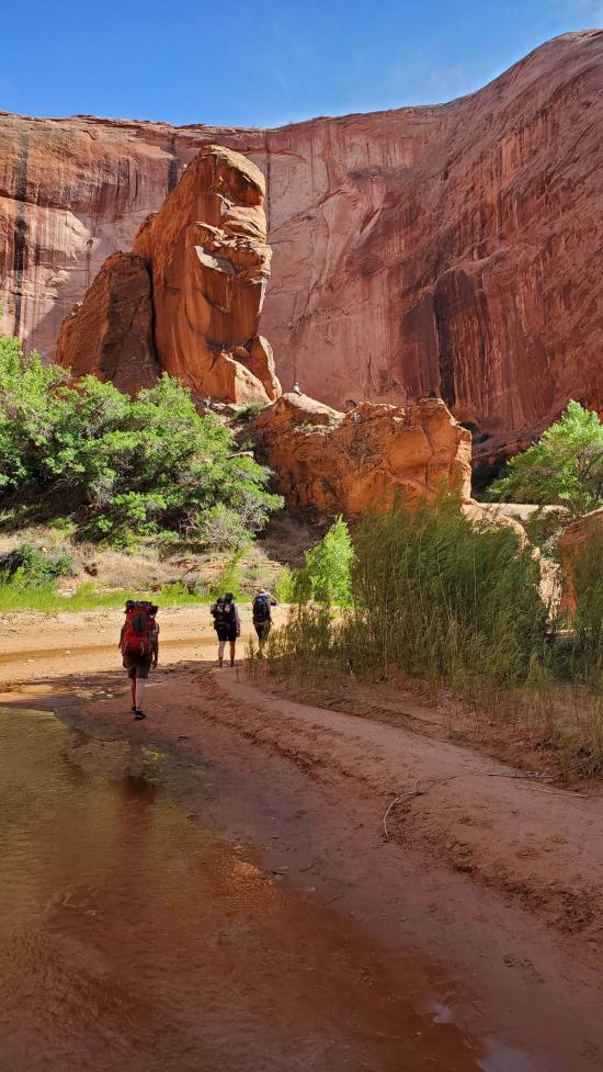
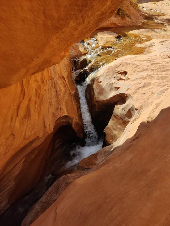
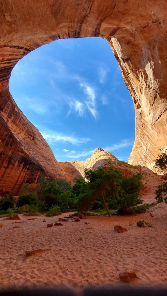
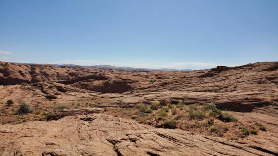
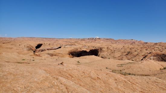
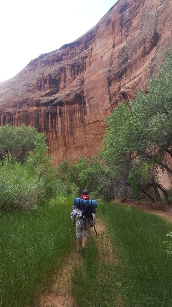
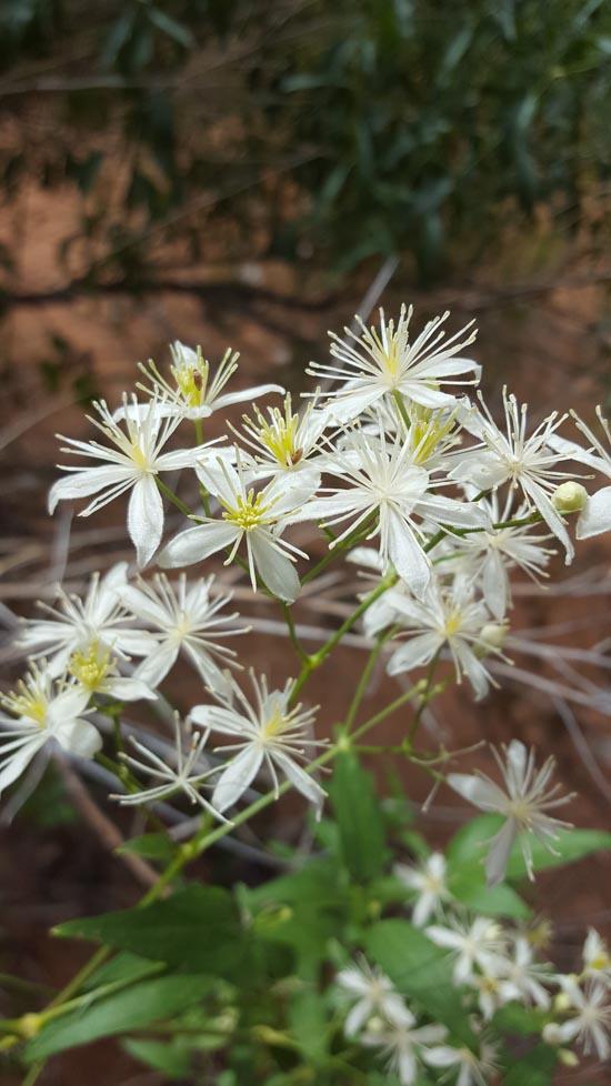
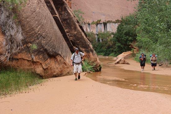
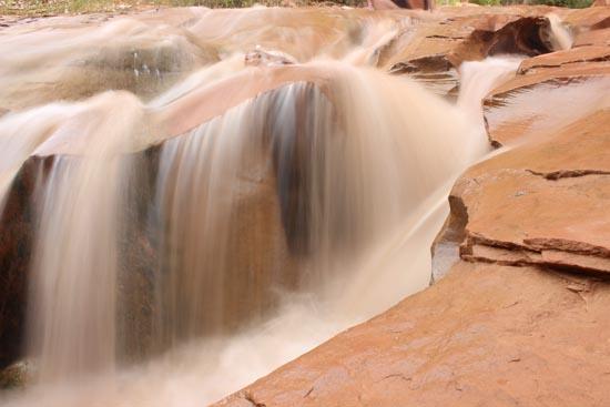
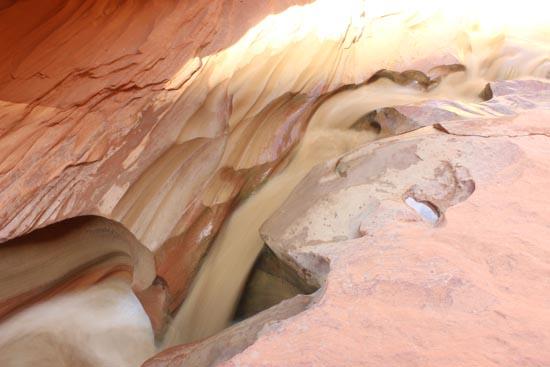
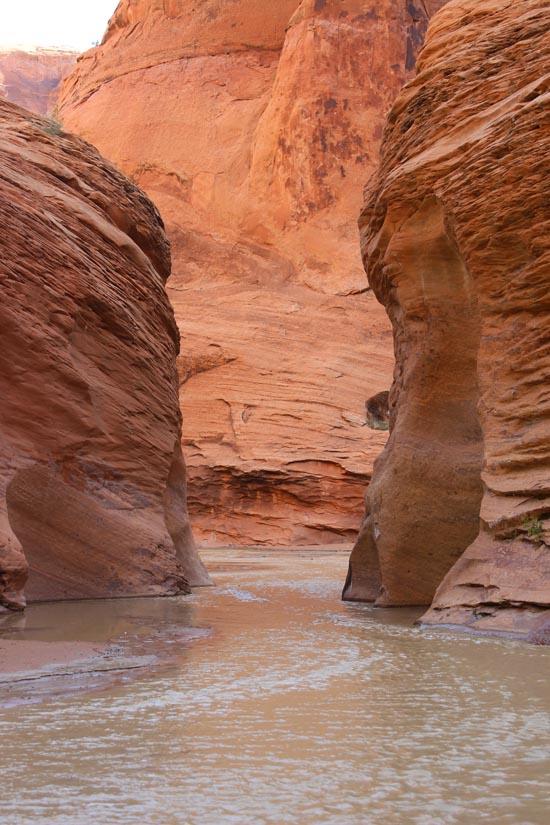
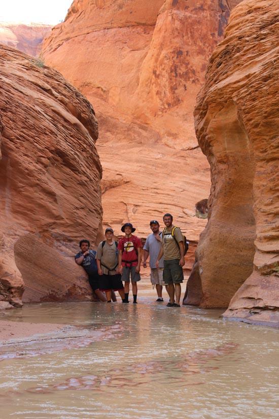
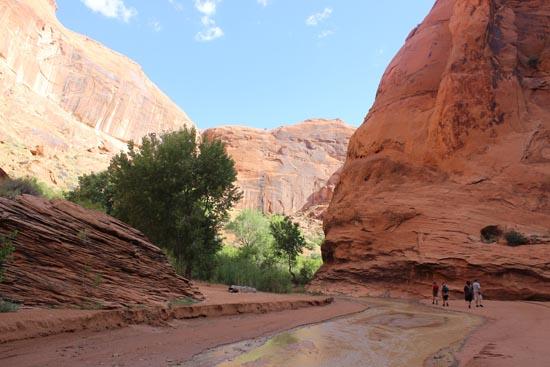
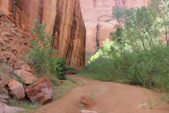
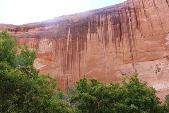
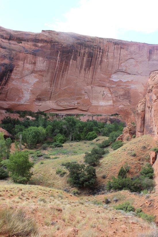
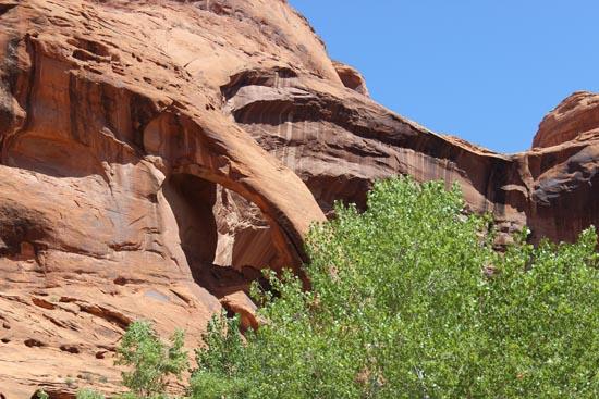
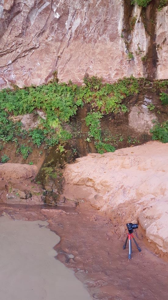
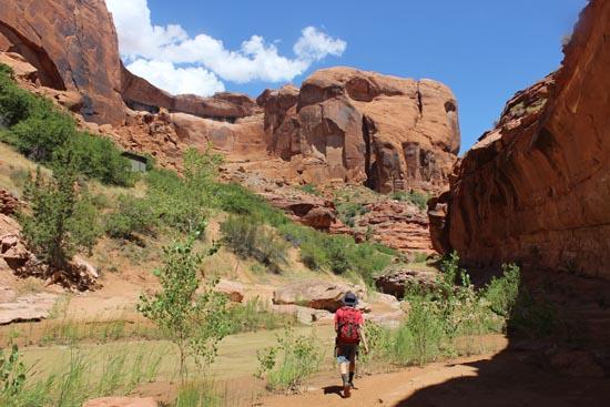
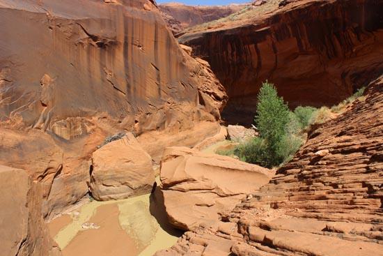
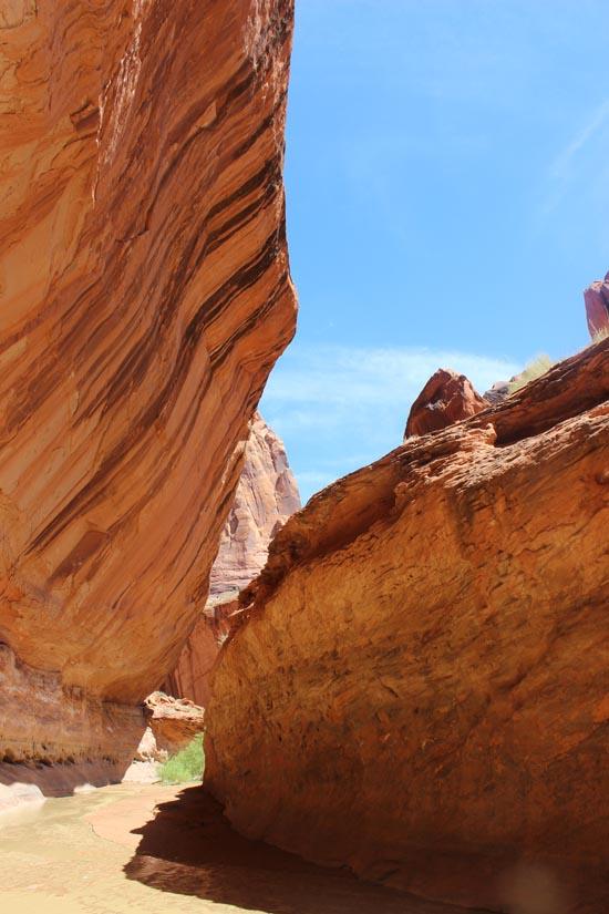
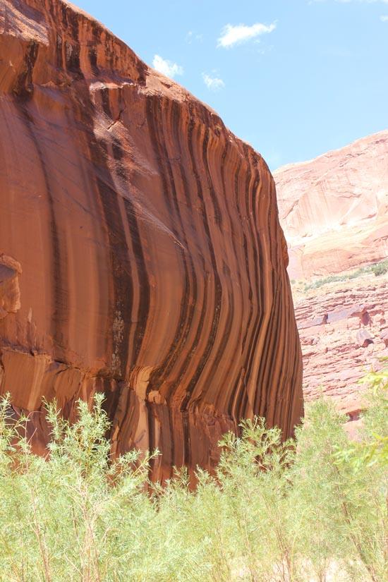
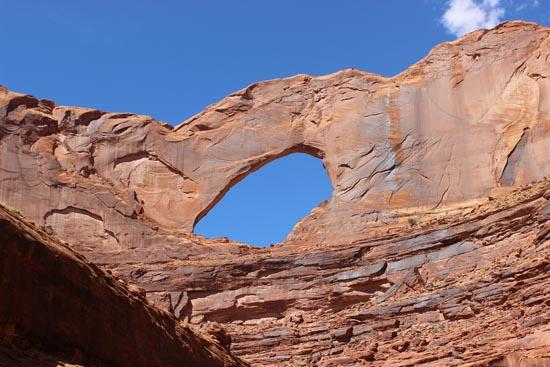
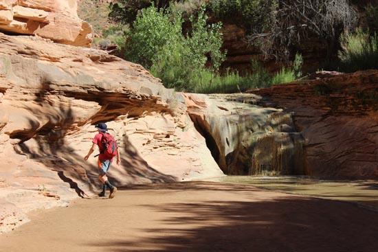
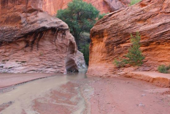
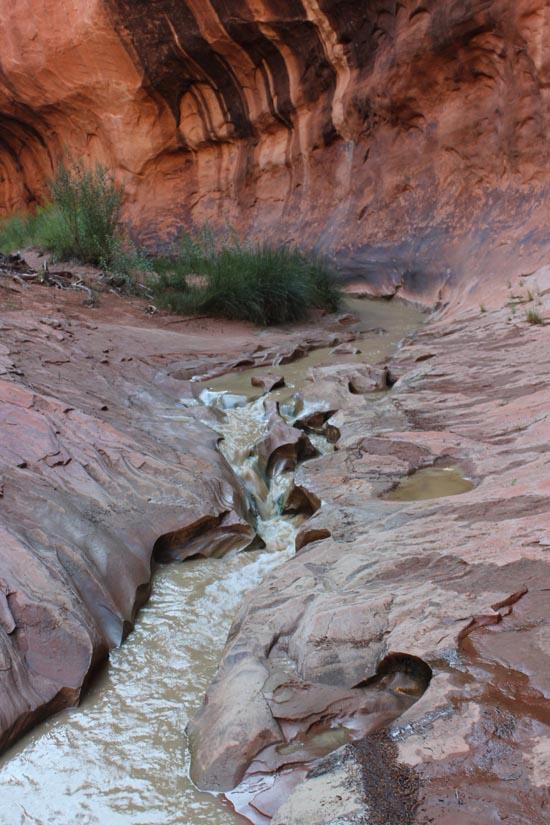
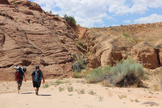
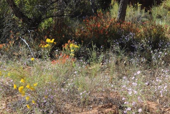
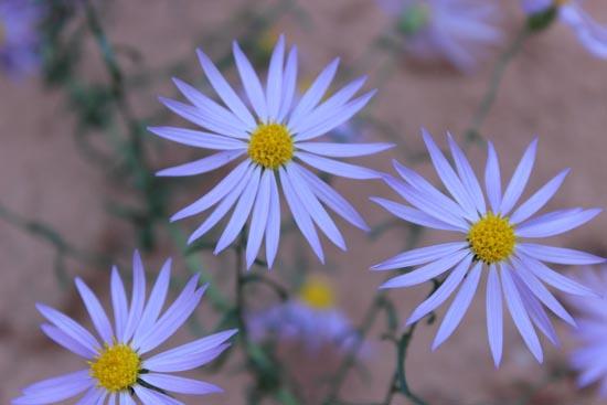
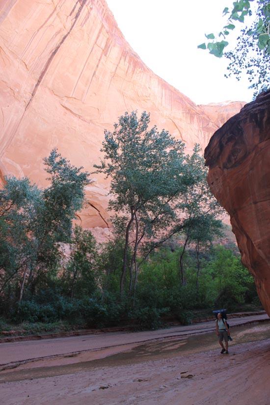
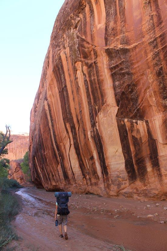
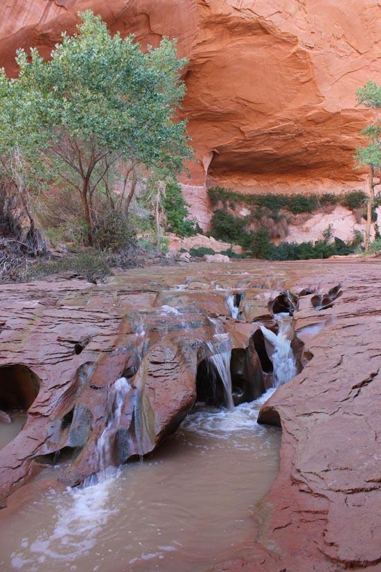
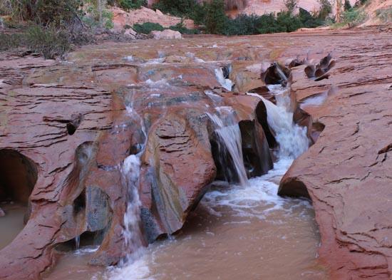
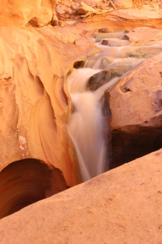
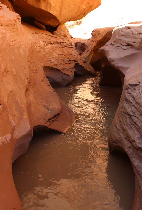
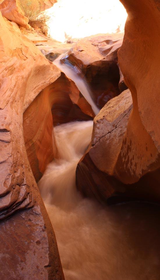
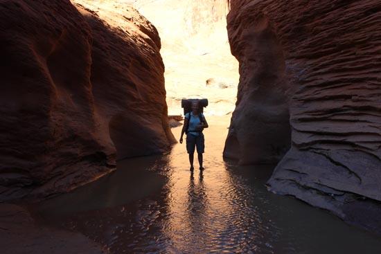
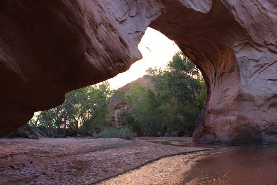
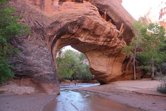
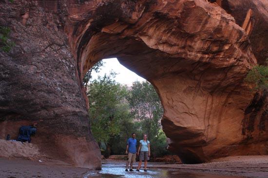
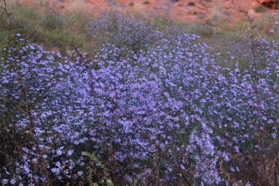
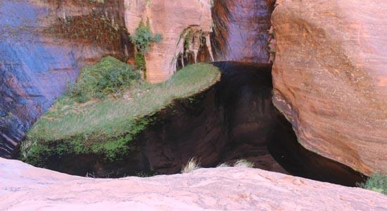
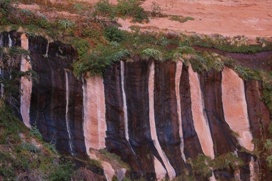
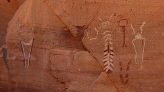
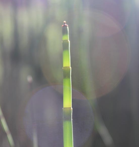
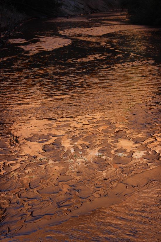
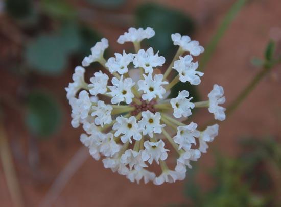
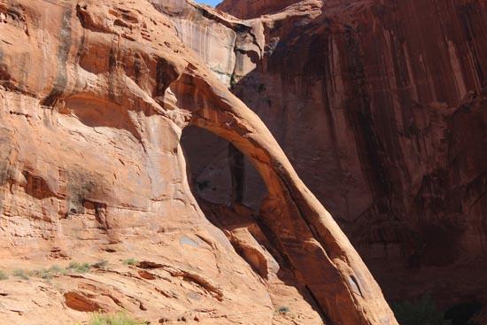
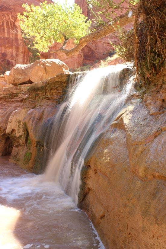
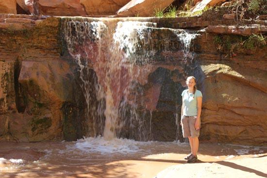
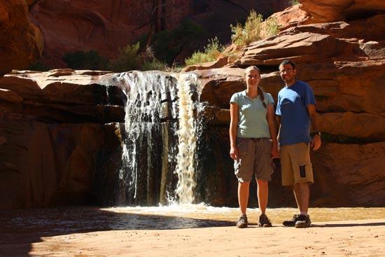
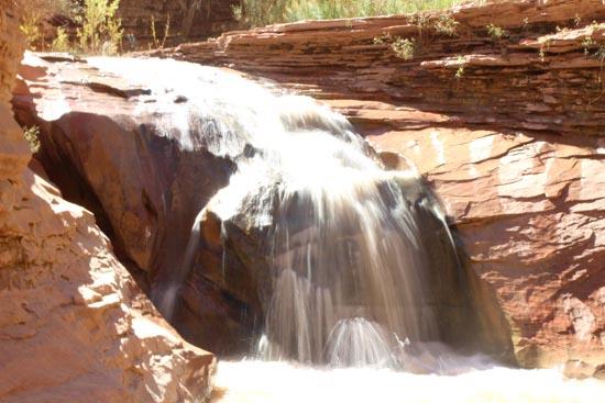
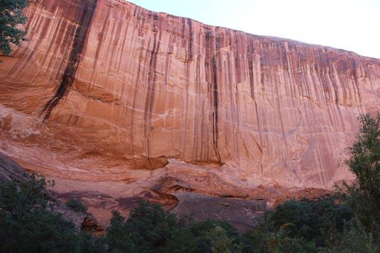
Coyote Gulch is an amazing 3-day backpacking trip down a picturesque canyon. Along the way are 4 arches or natural bridges, close to a dozen waterfalls, Indian petroglyphs, and miles of beautiful scenery.
Canyon Rating: 1BVI 
Time: 3 days
Length: 28 miles from the Red Well trailhead to the Confluence
Longest Rappel: N/A
Fees: None
Recommended Ages:
 | 0-3 |
 | 4-11 |
 | 12-19 |
 | 20-49 |
 | 50-69 |
 | 70+ |
Recommended Months to Visit:
| Jan |
| Feb |
| Mar |
| Apr |
| May |
| Jun |
| Jul |
| Aug |
| Sep |
| Oct |
| Nov |
| Dec |
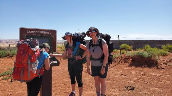
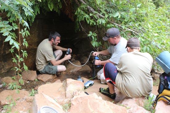
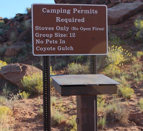
Permits: Free permits are required for overnight trips. Permits are available at several trailheads and at the Escalante InteragencyVisitor Center
Navigate to 37.429982, -111.146260.
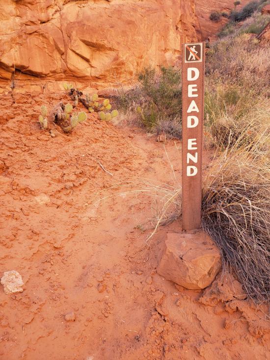
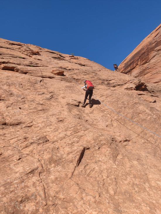
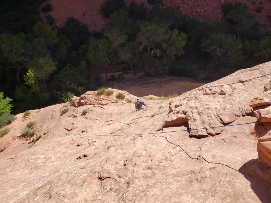
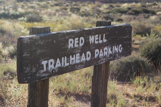
This is a Red Well trailhead. There are a number of other trailheads you can use depending on your vehicle clearance, whether or not you have a shuttle, and how long you want your trip to take.
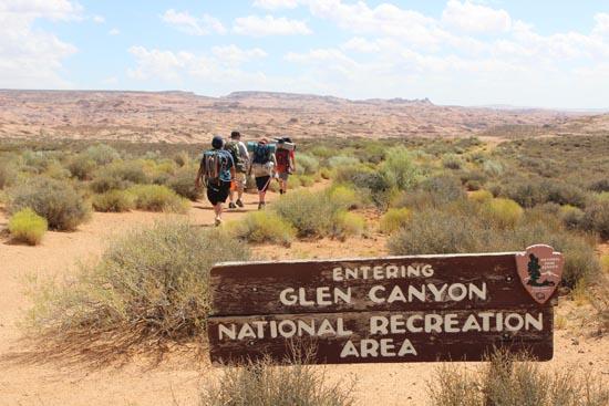
Closest City or Region: Glen Canyon National Recreational Area, Utah
Coordinates: 37.420167, -111.057427
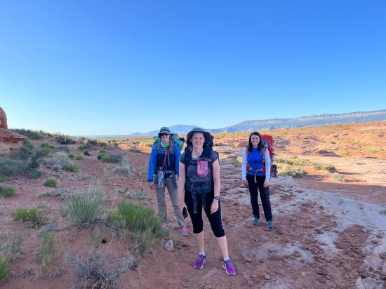
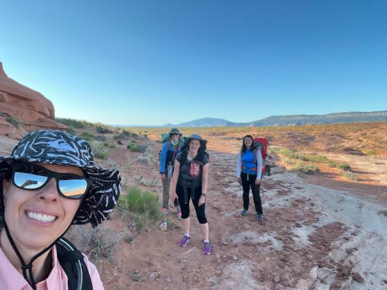
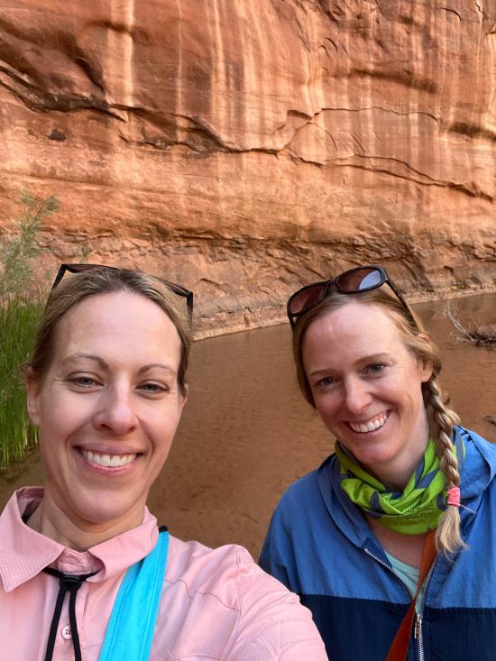
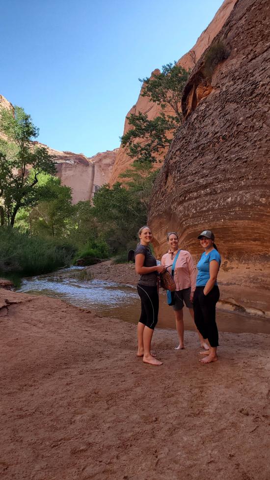
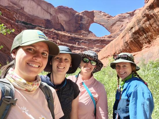
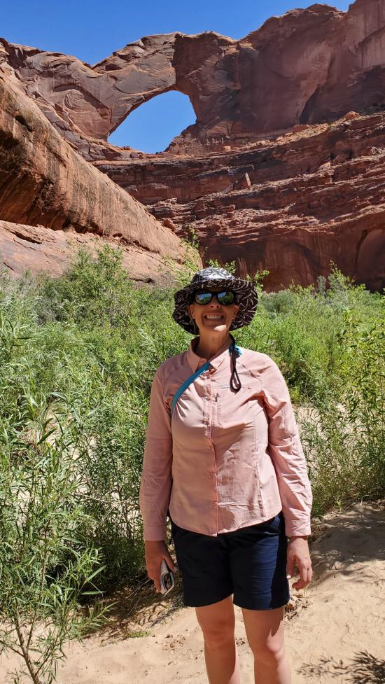
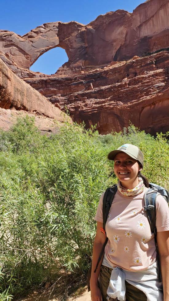
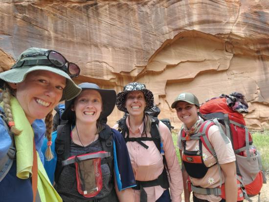
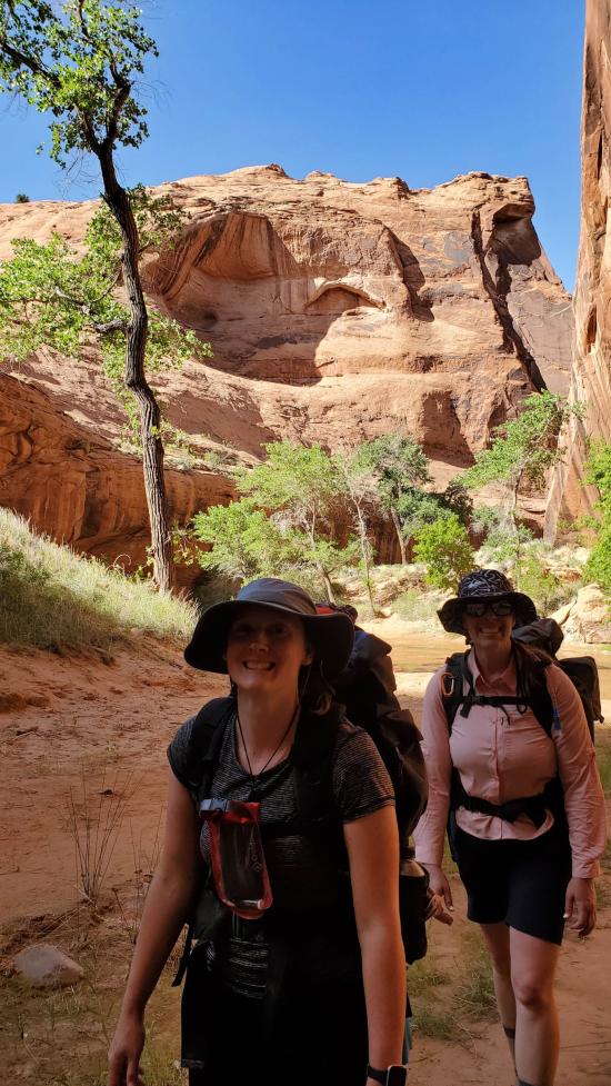
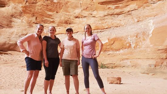
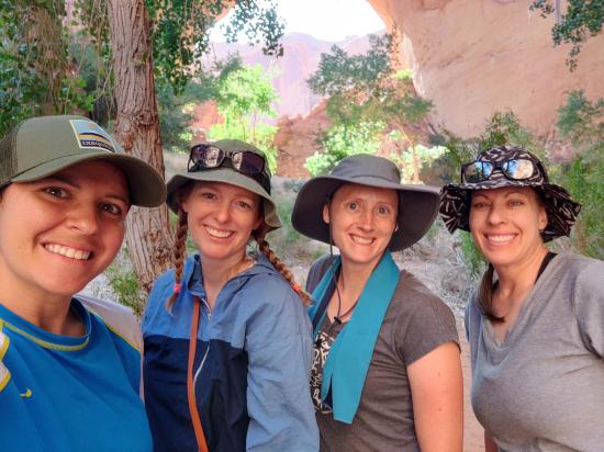
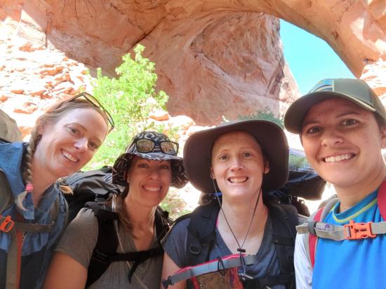
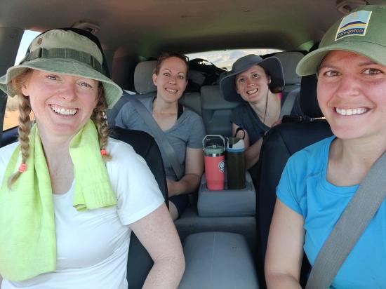
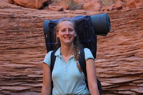
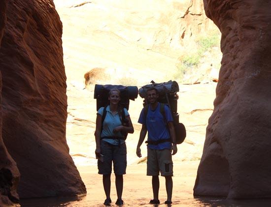
By Tara Dye
Tara Dye, Ondylyn Wagner, Marci Parker, Becca Bevan,
Saturday
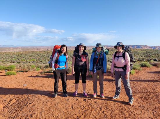
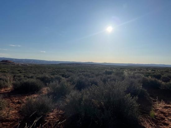
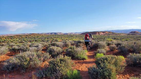
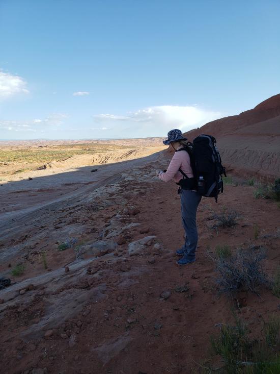
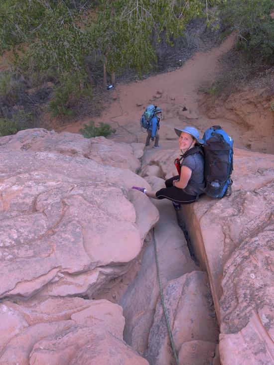
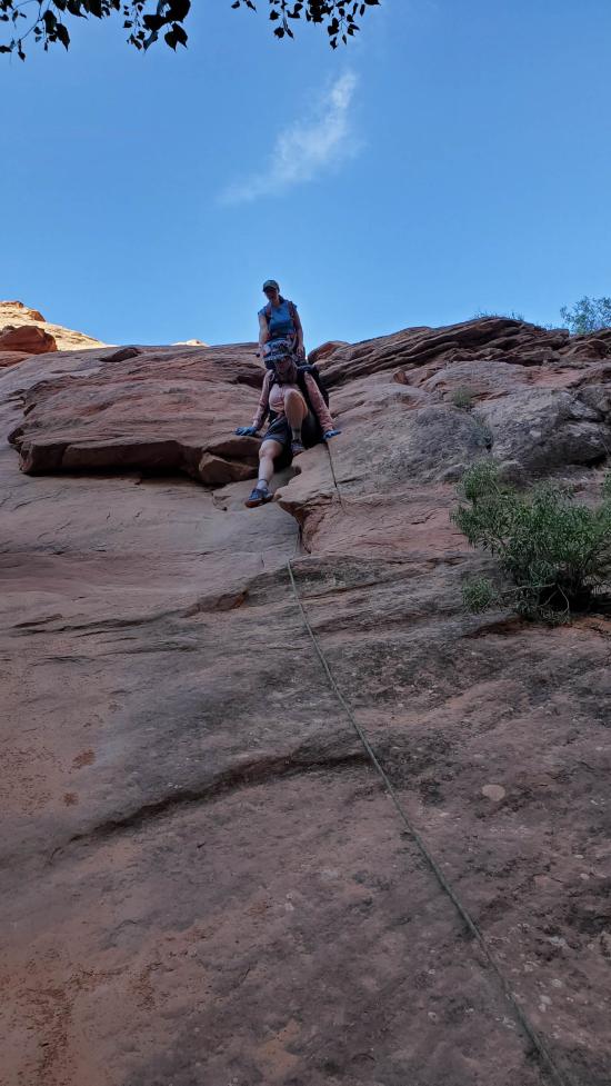
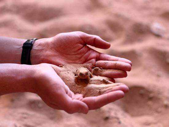
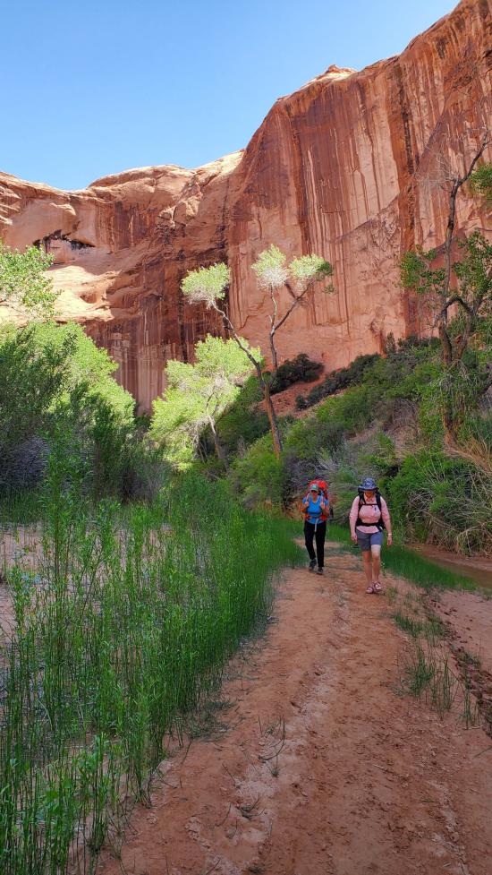
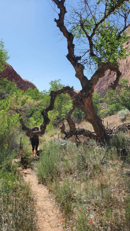
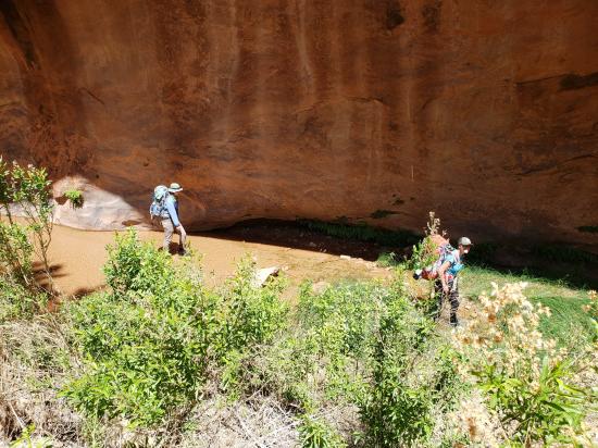
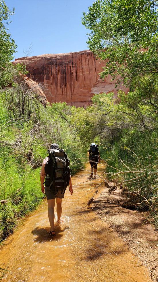
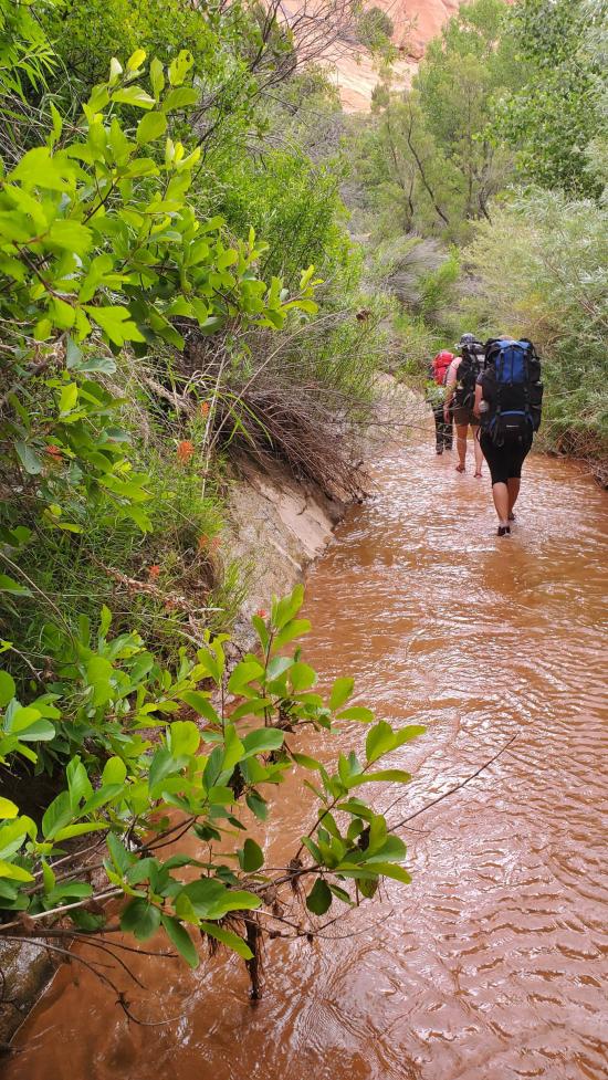
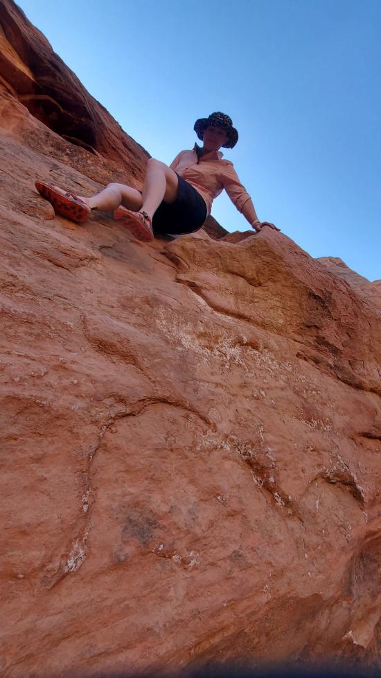
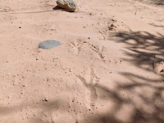
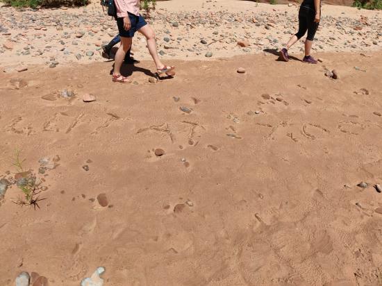
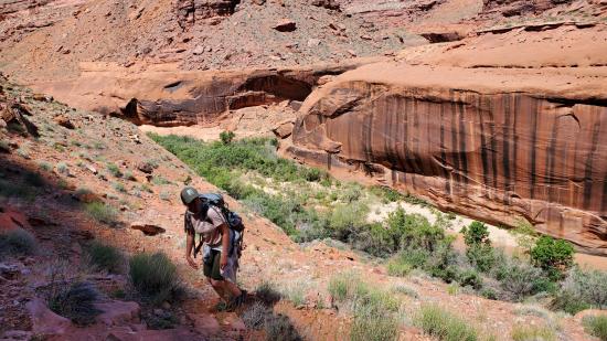
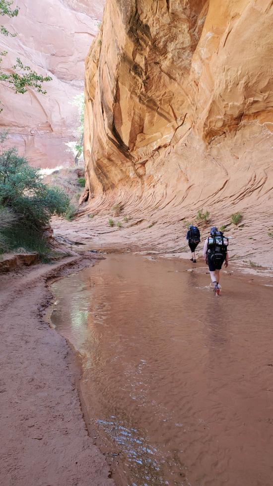
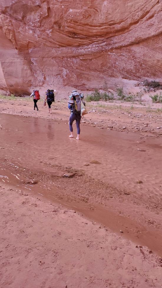
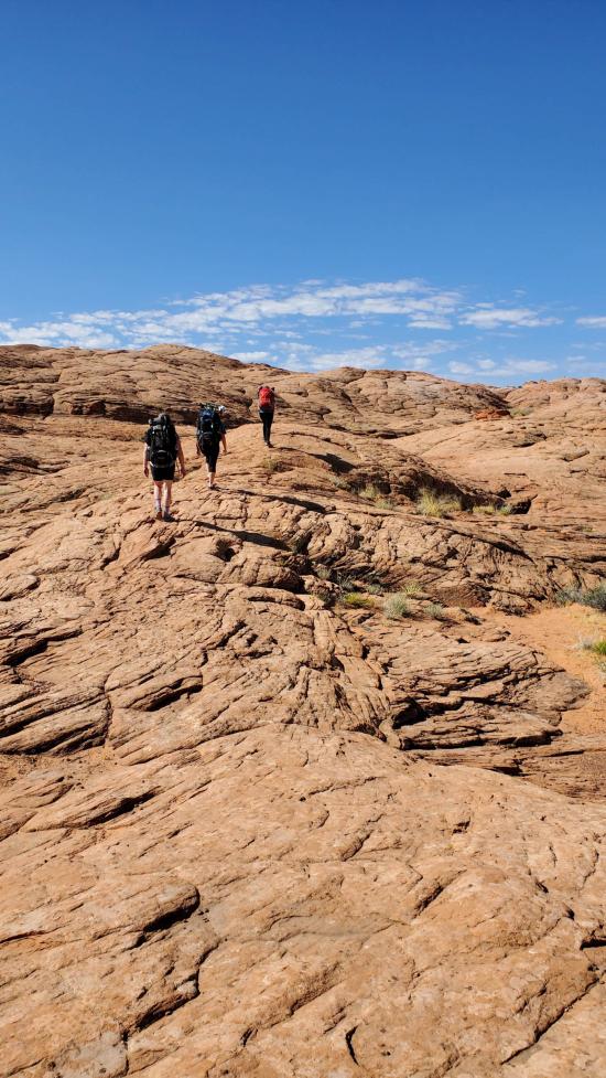
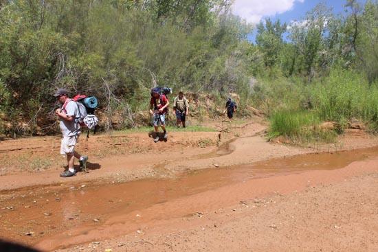
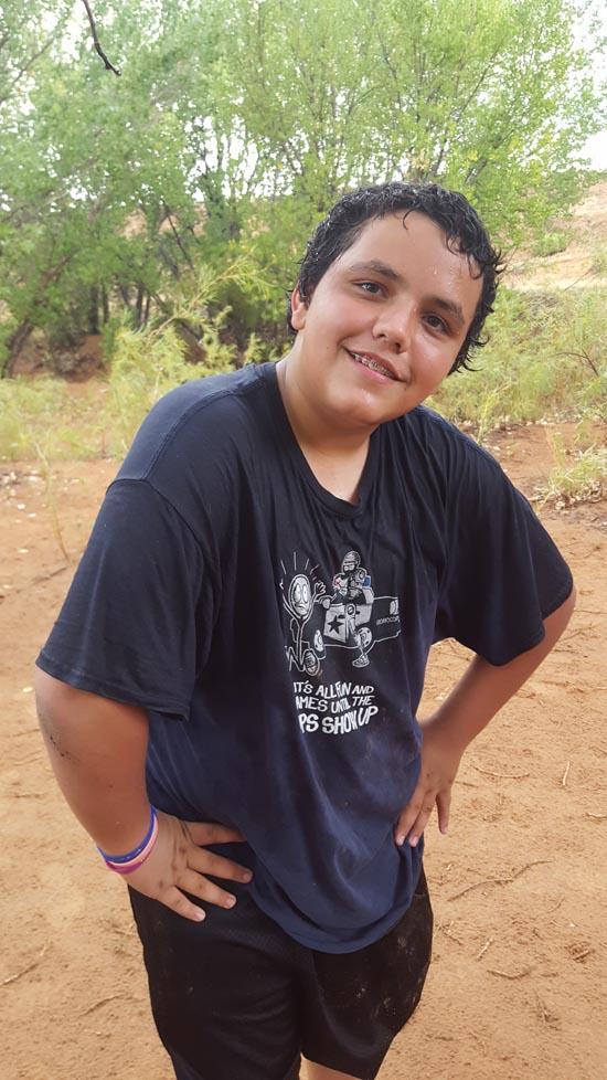
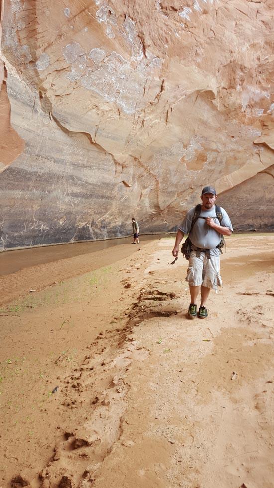
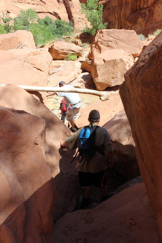
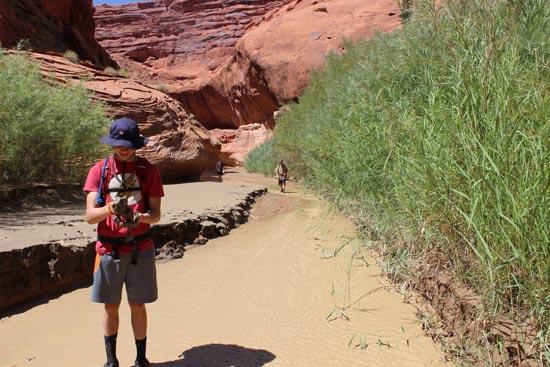
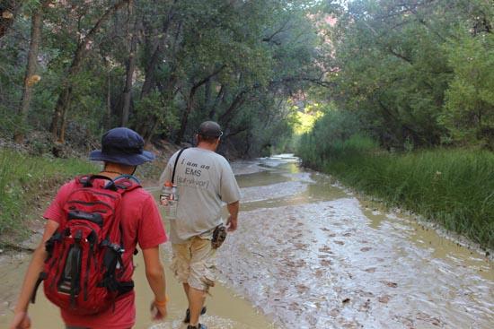
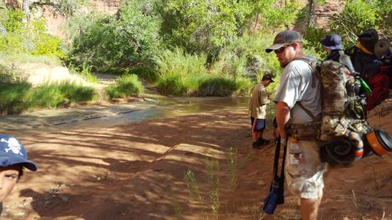
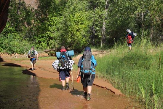
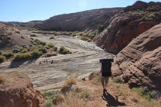
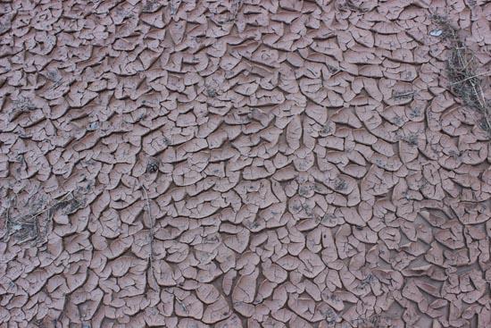
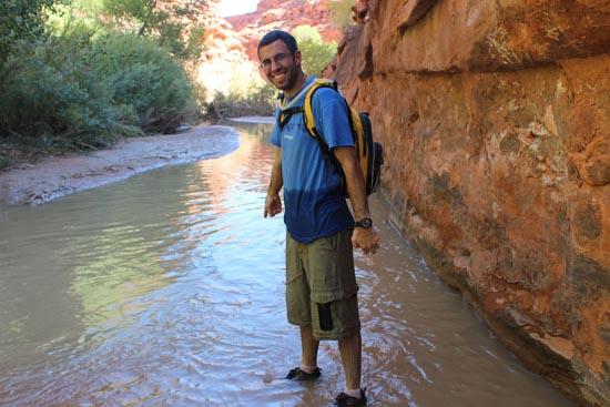
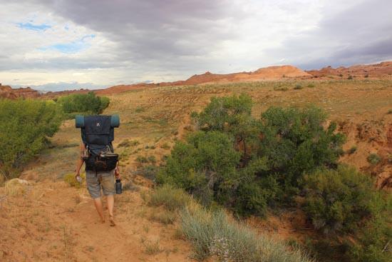
We got up around 6:30 to take down the Go trailer and eat breakfast. We started our hike around 7:30. On the way in there were some cool bugs all over. They were burrowing in the sand to get out of the heat for the day.
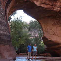
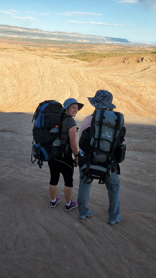
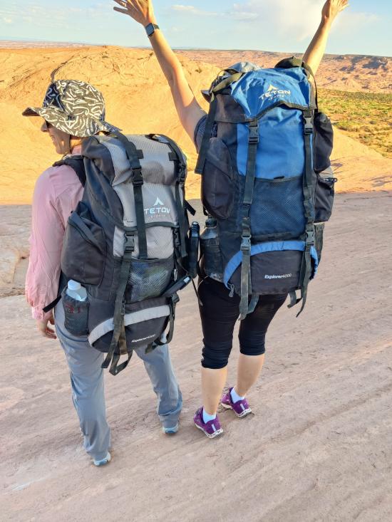
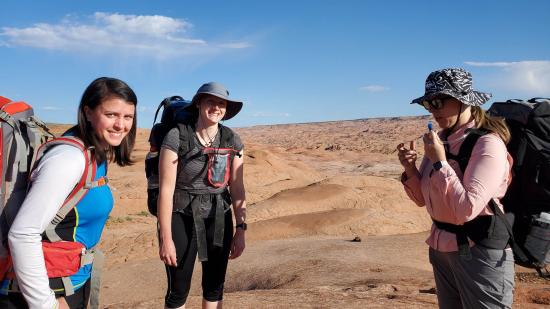
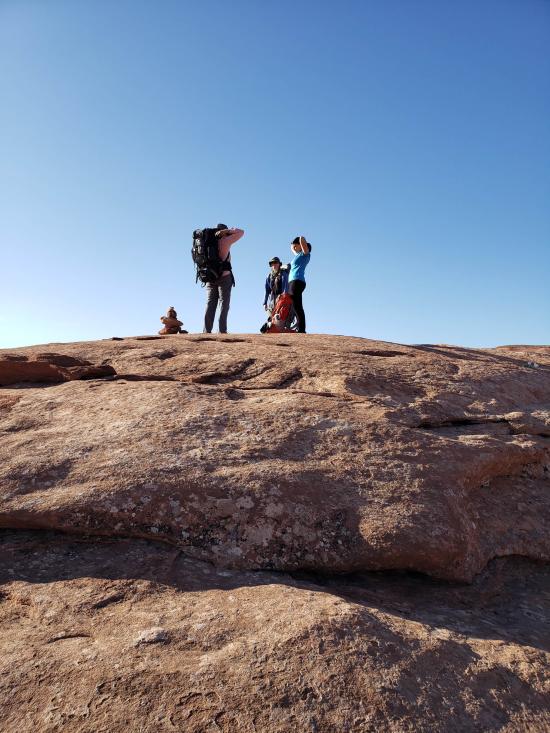
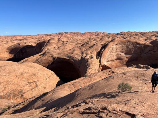
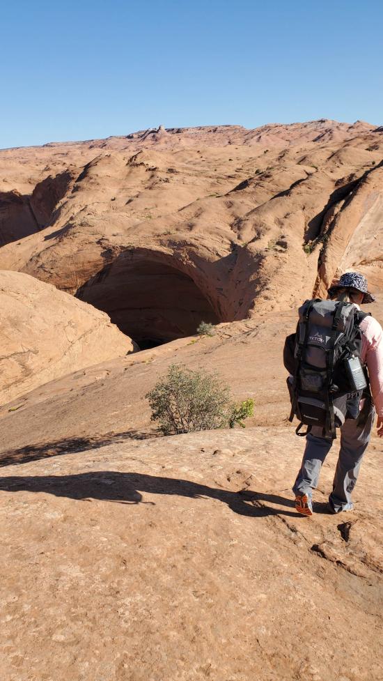
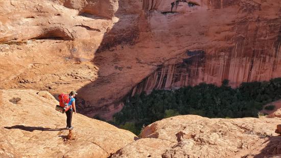
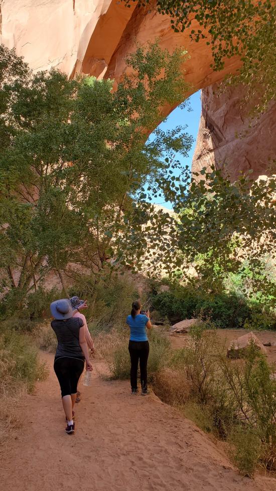
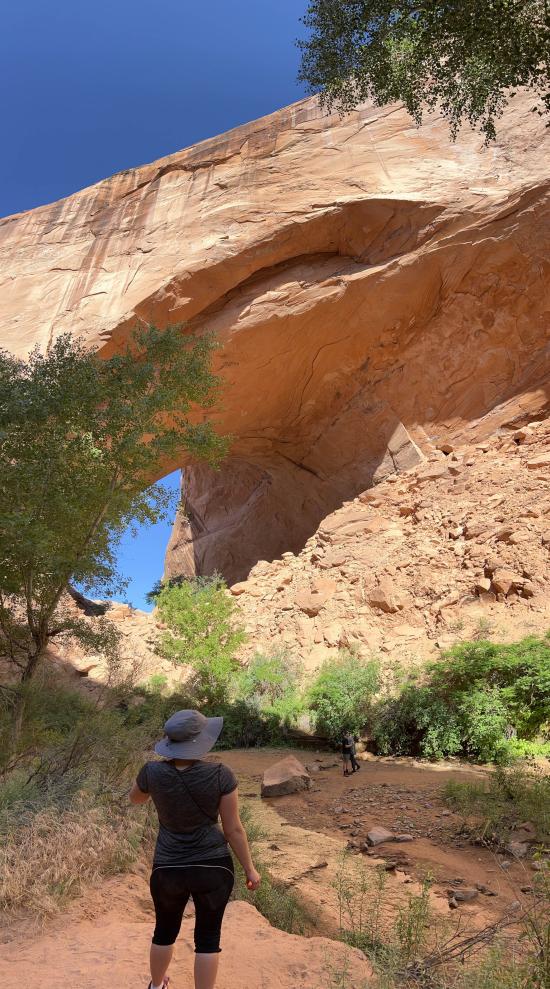
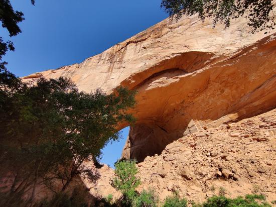
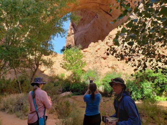
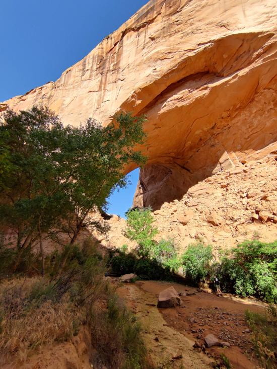
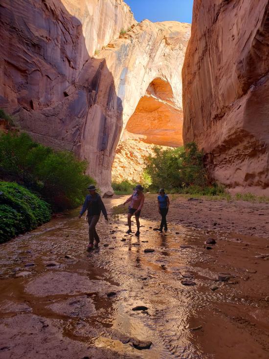
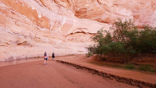
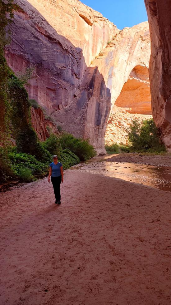
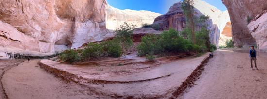
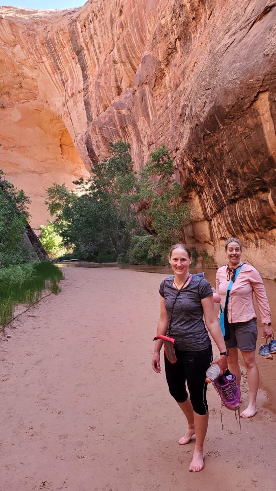
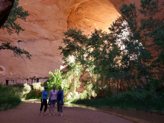
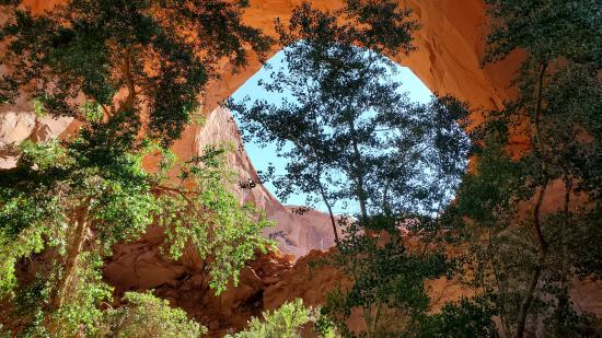
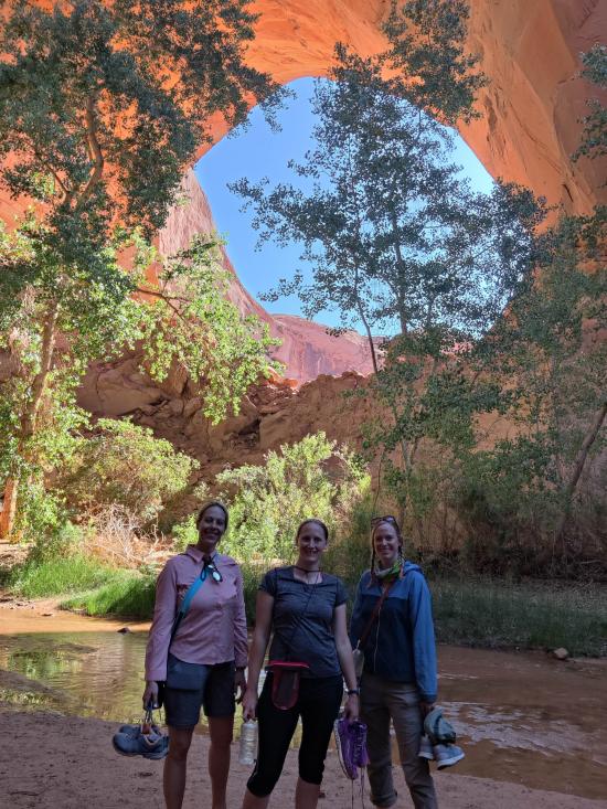
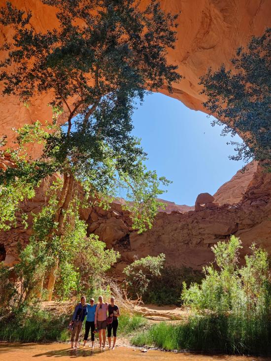
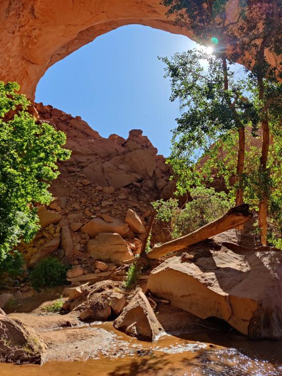
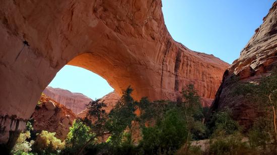
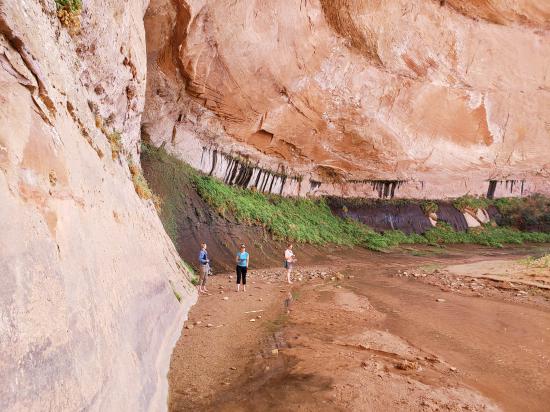
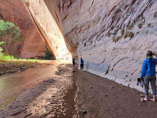
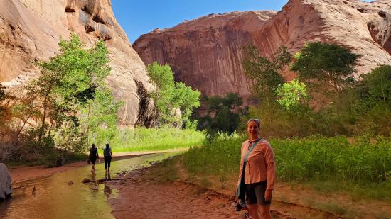
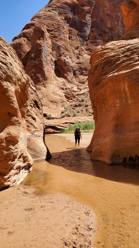
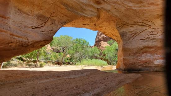
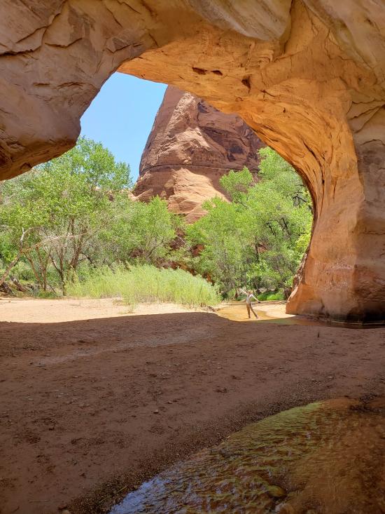
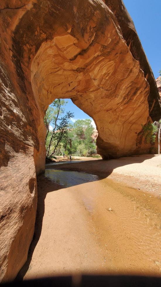
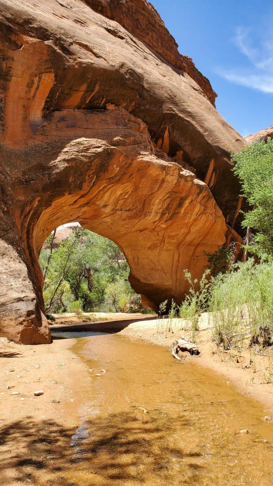
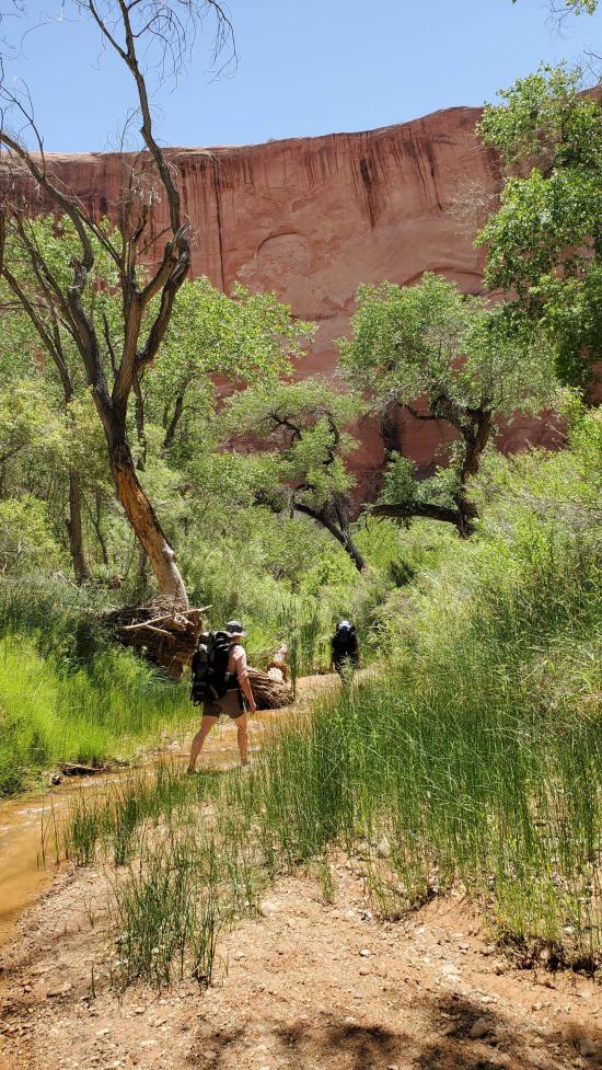
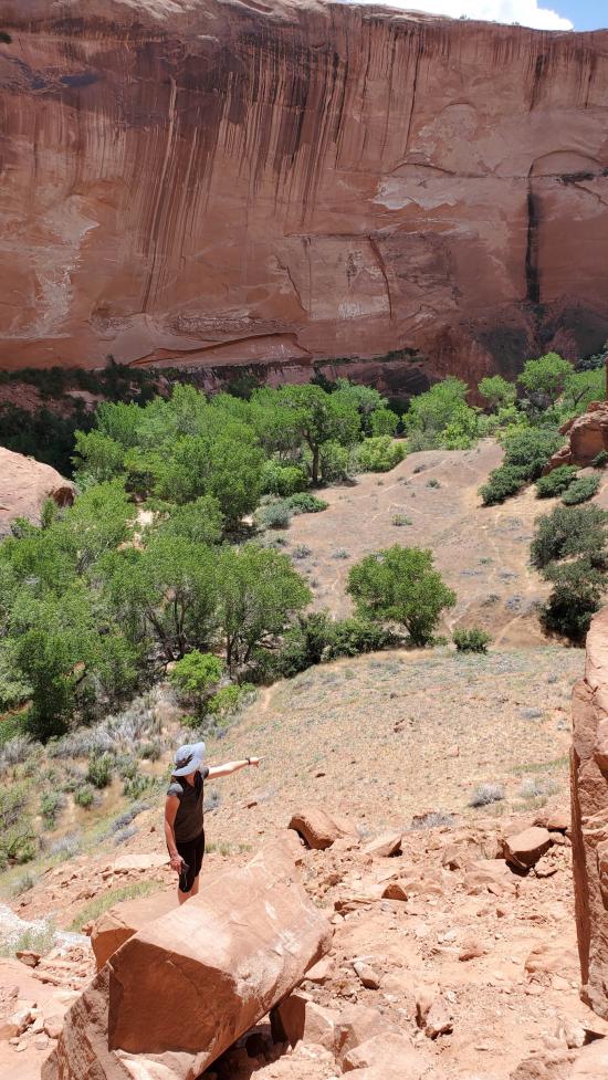
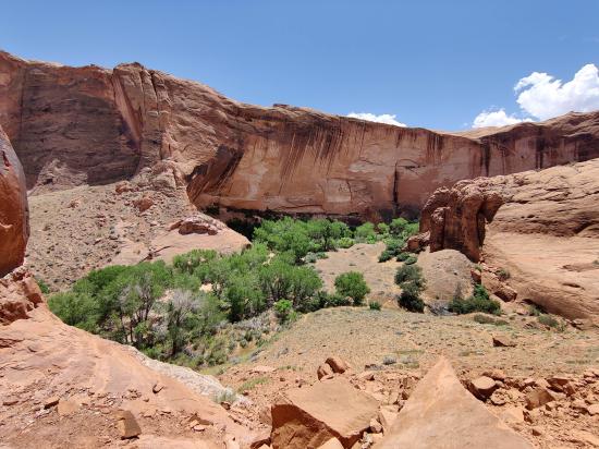
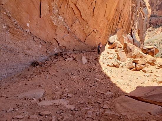
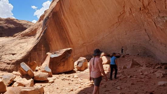
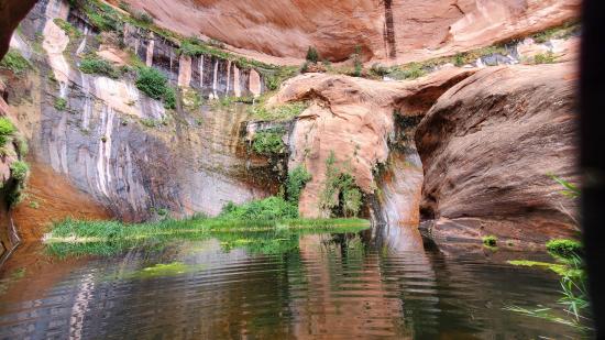
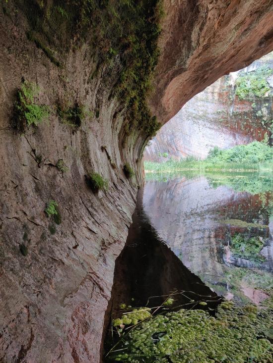
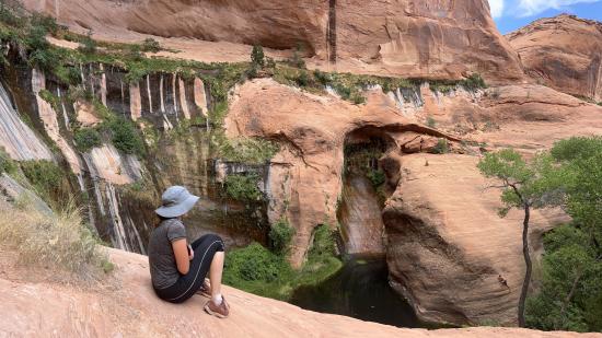
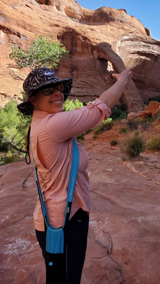
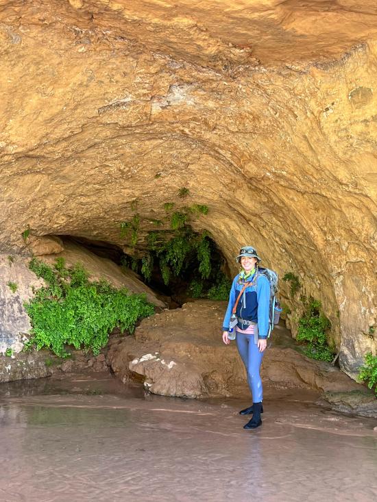
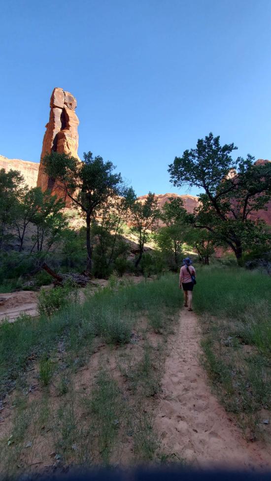
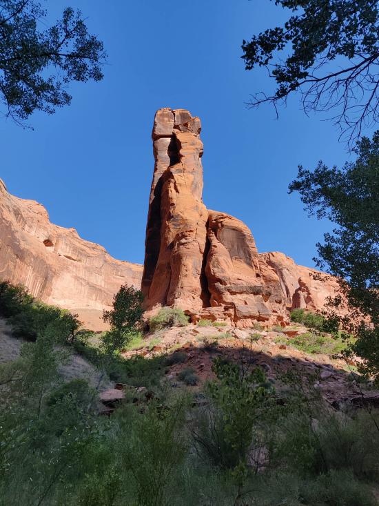
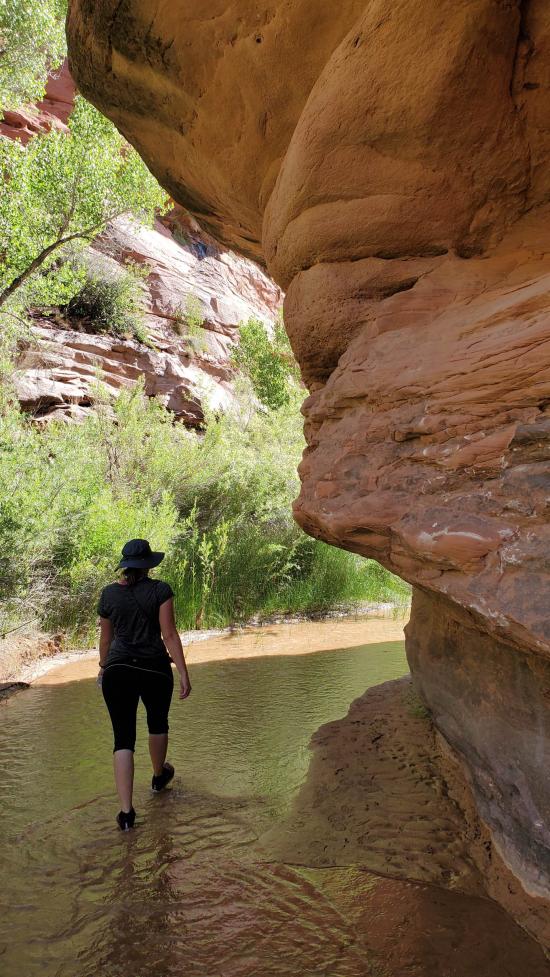
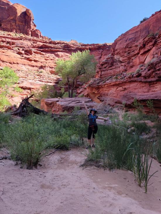
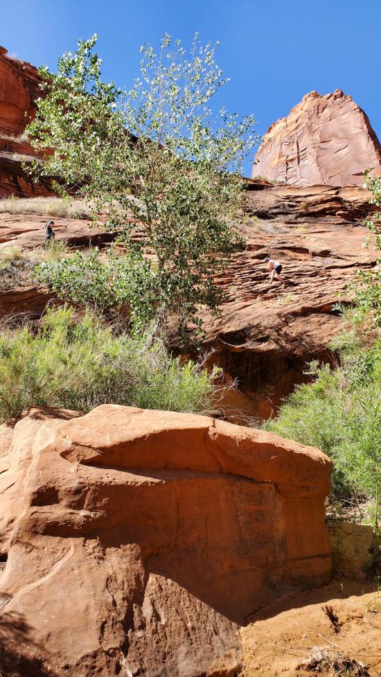
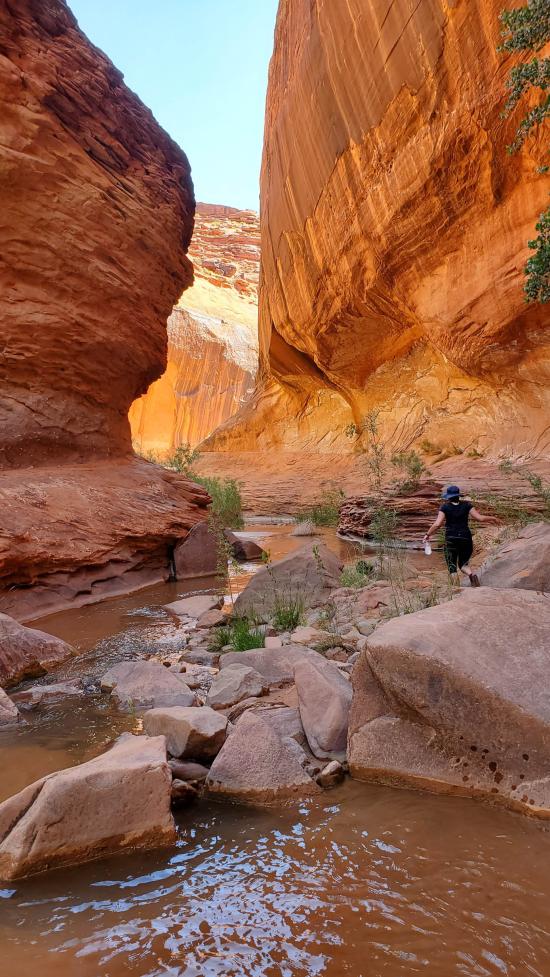
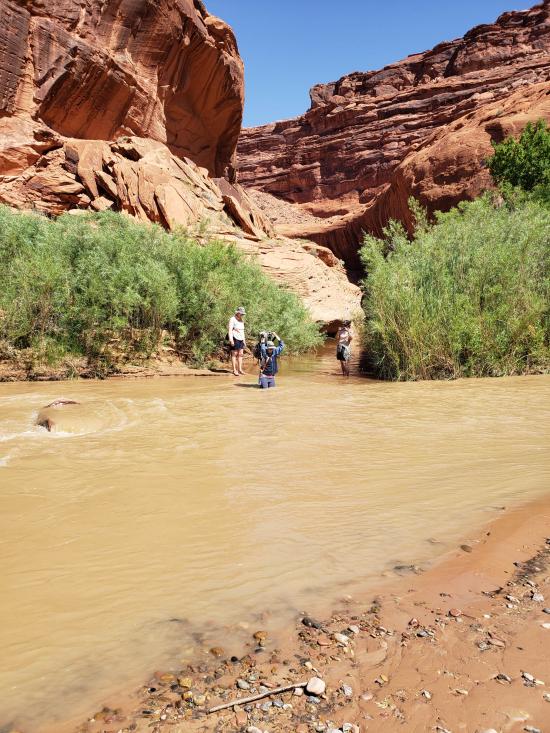
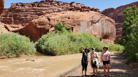
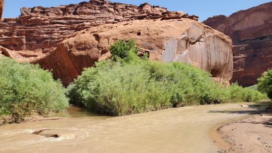
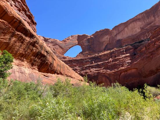
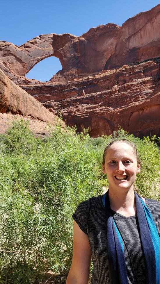
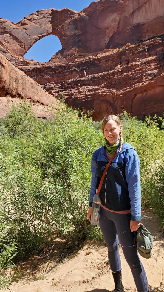
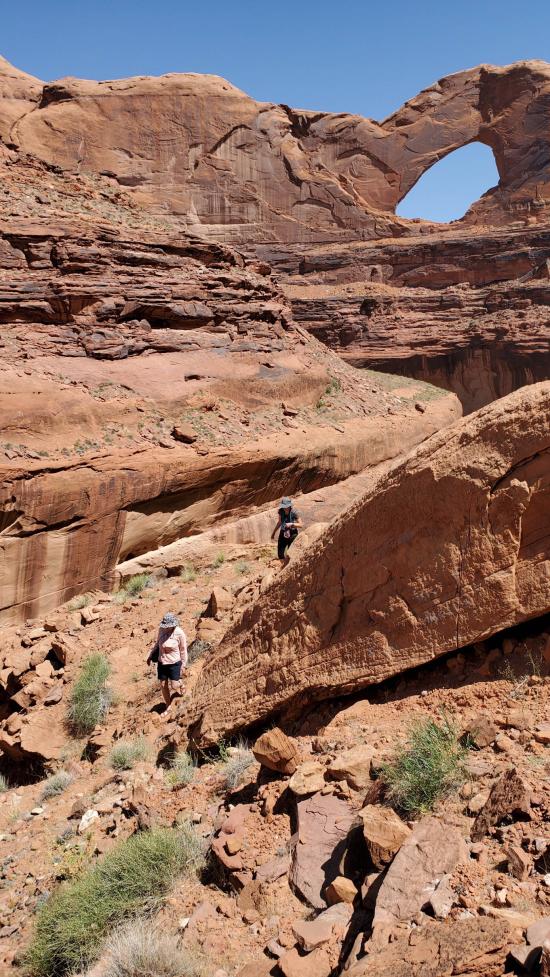
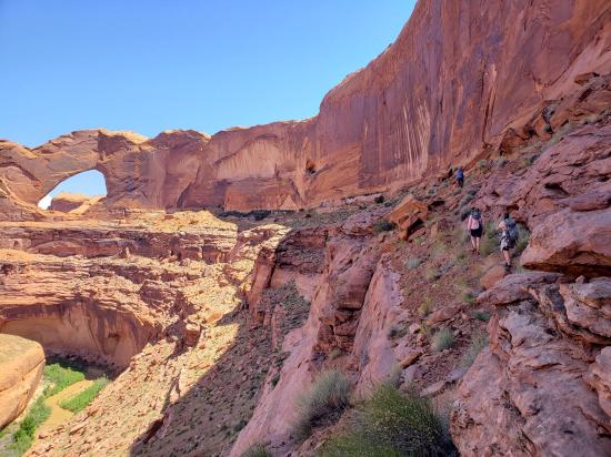
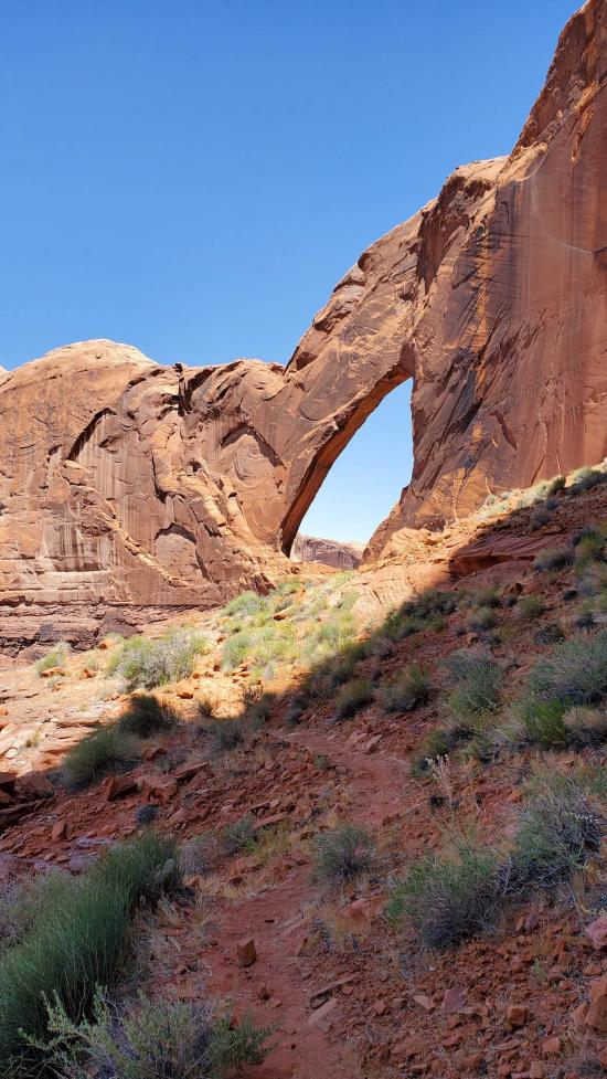
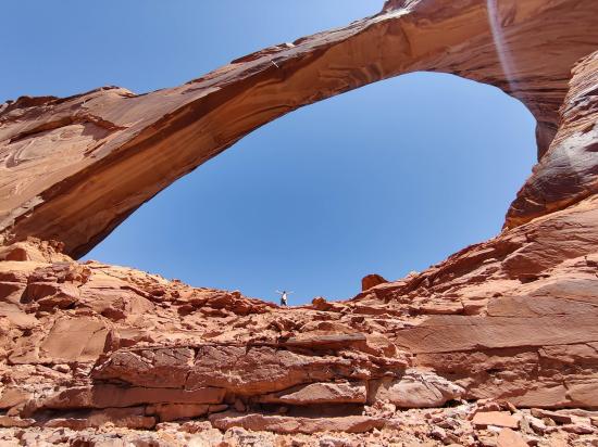
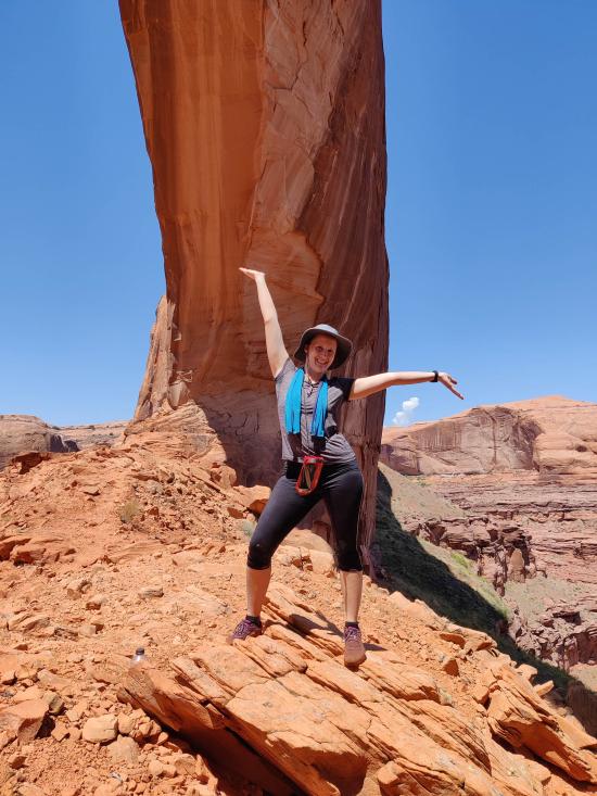
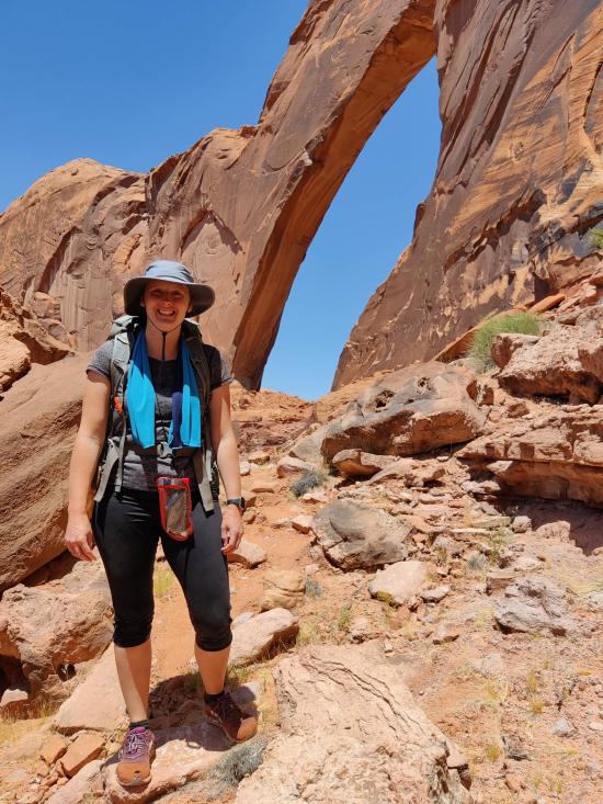
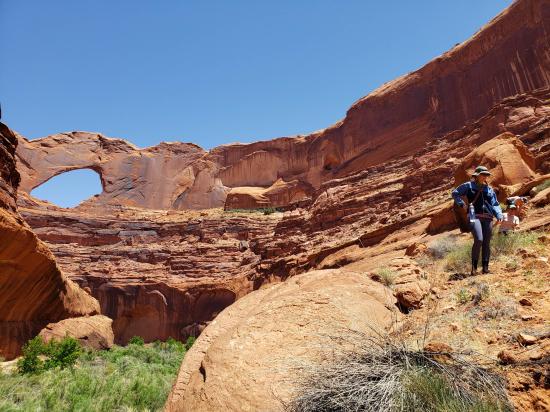
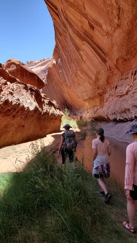
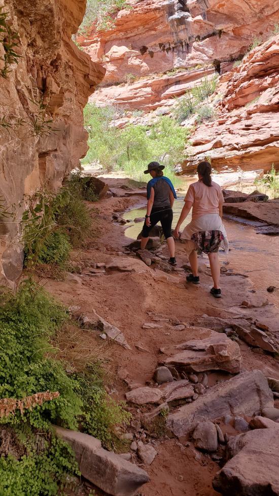
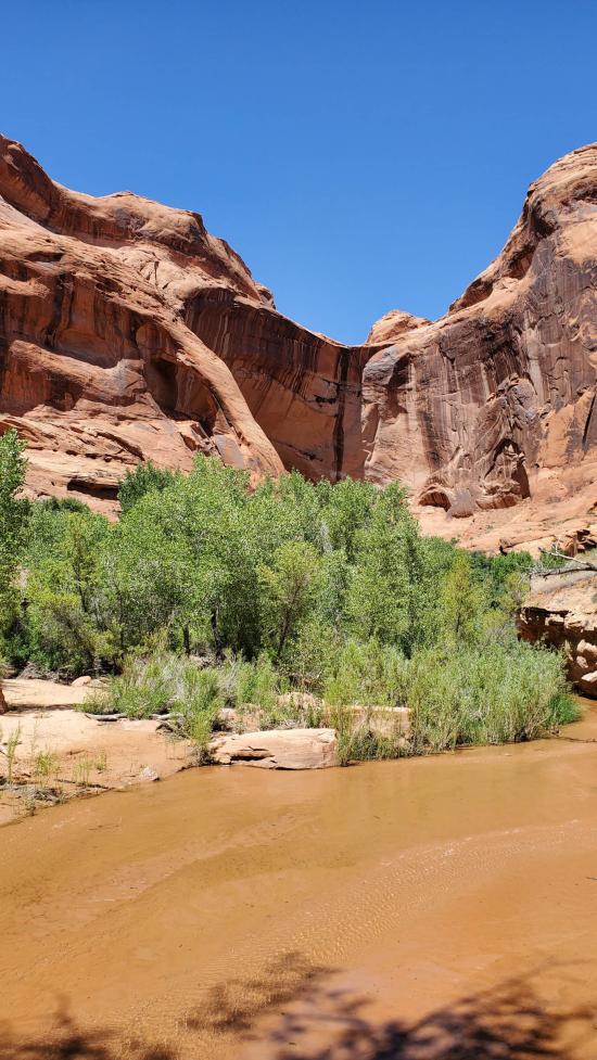
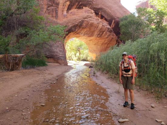
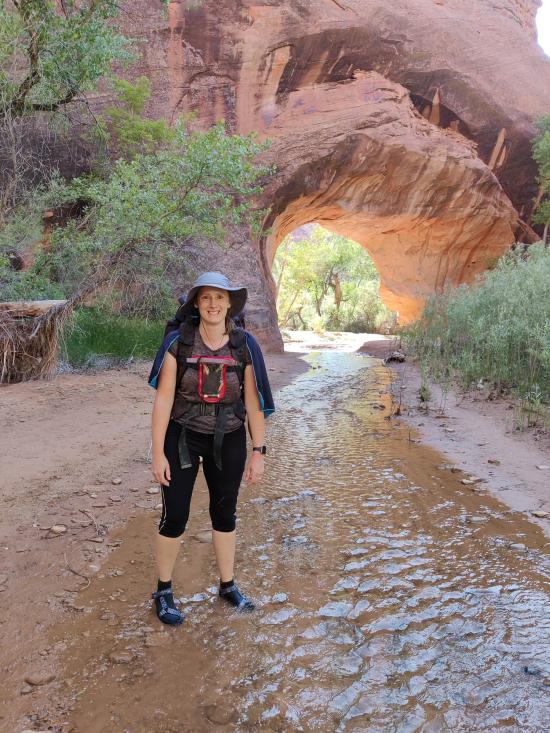
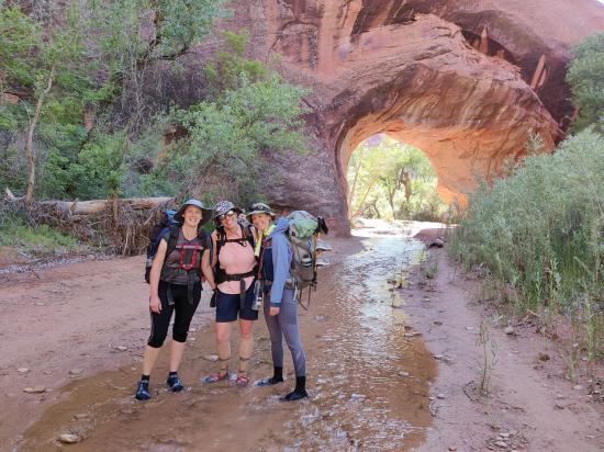
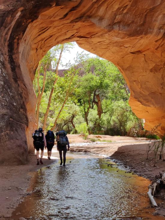
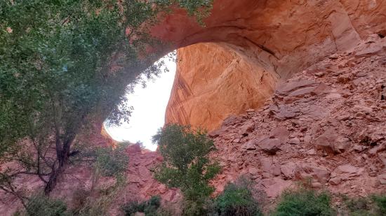
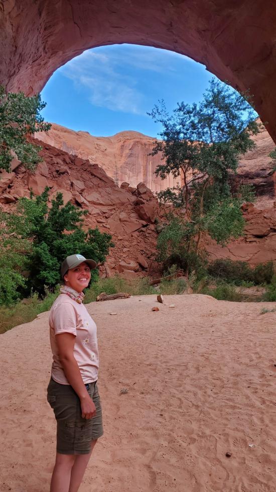
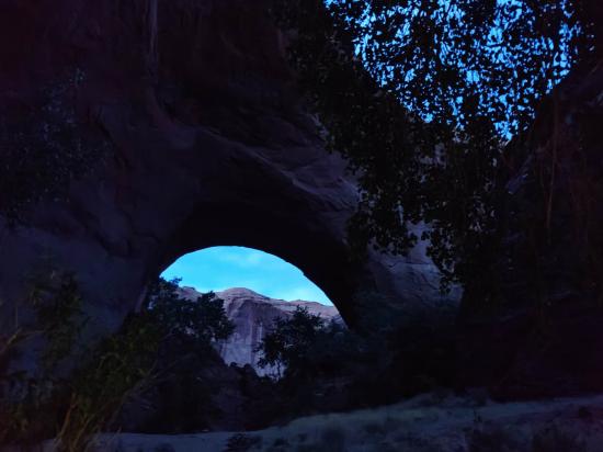
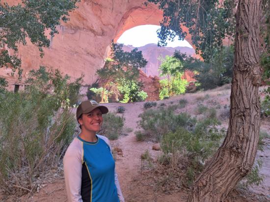
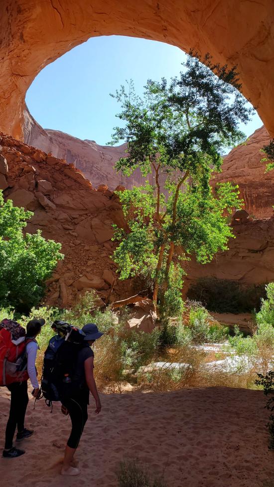
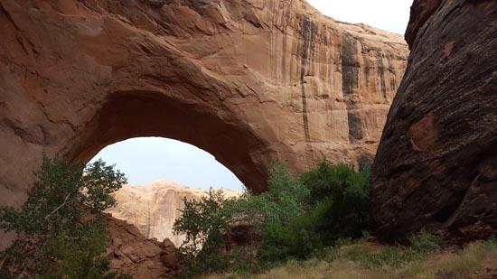
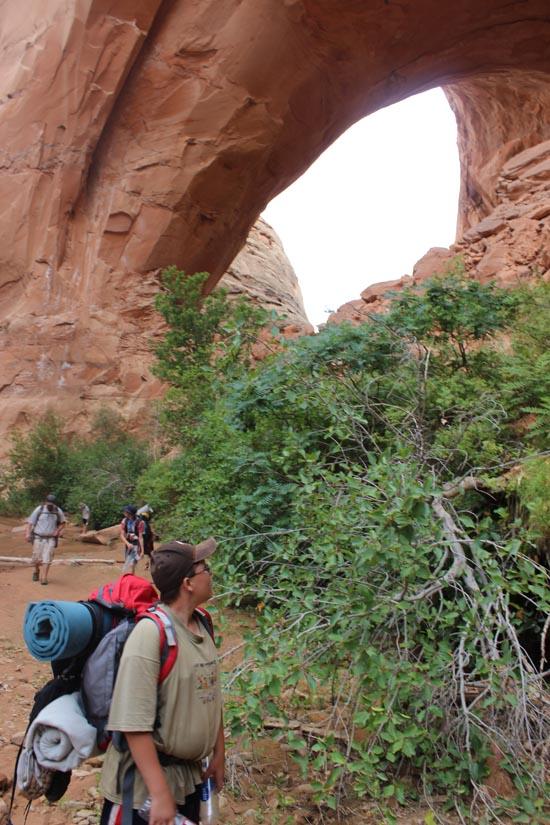
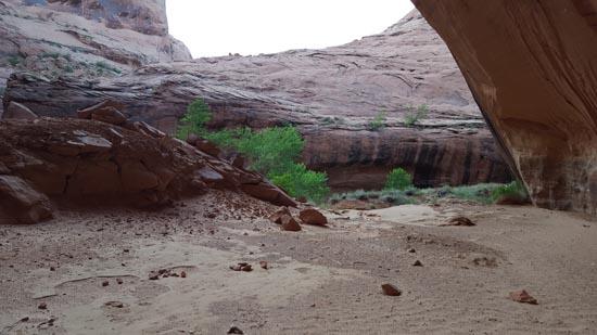
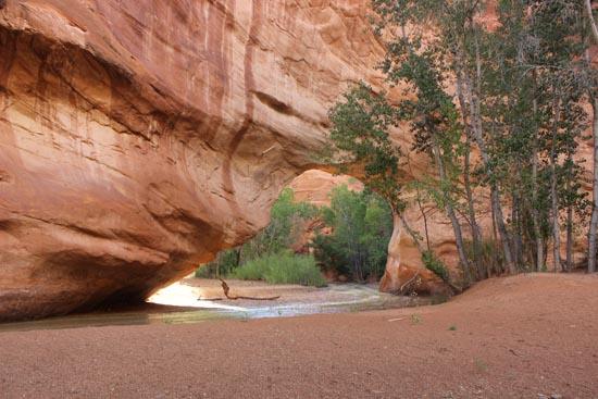
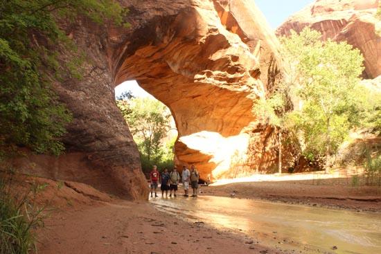
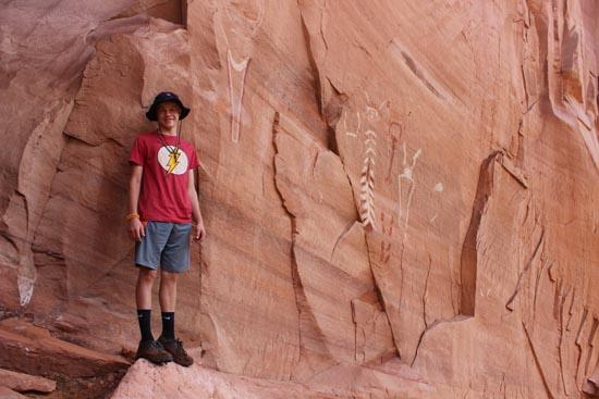
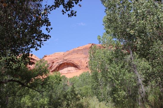
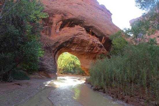
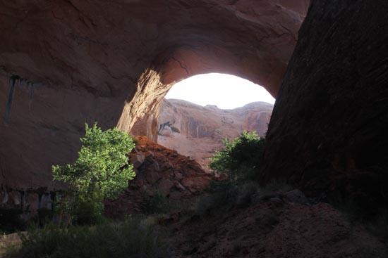
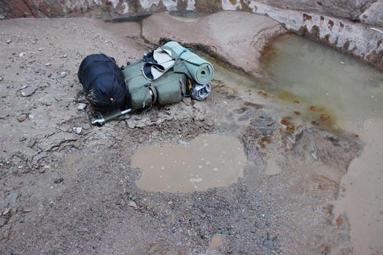
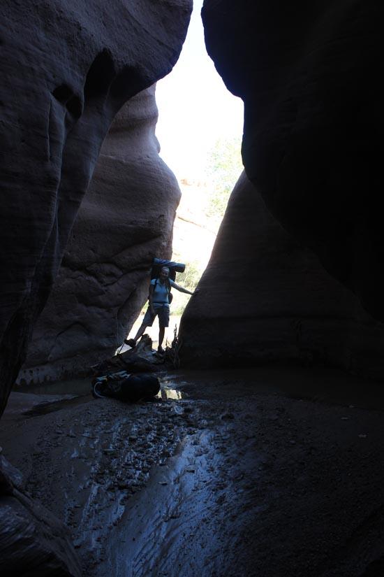
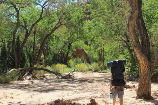
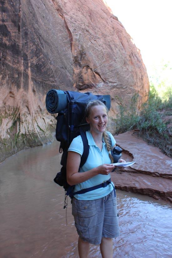
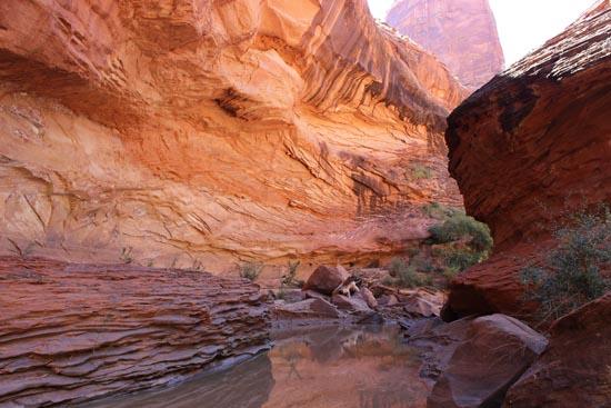
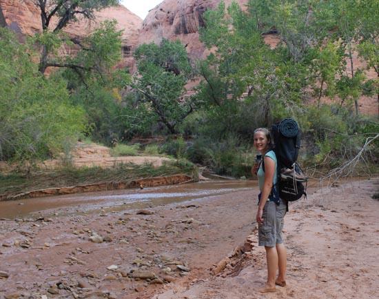
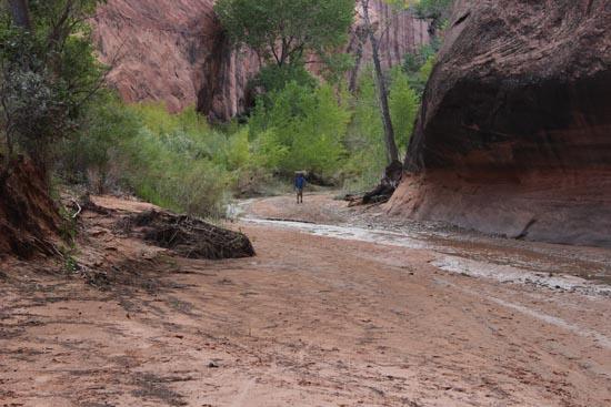
As soon as we got down in the gulch, we dropped our packs and headed upstream to check out Jacob Hamblin Arch and then head upstream a bit further since the canyon is super pretty through there.
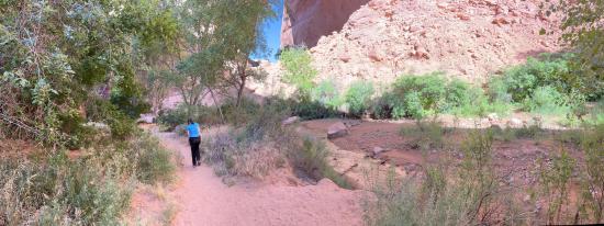
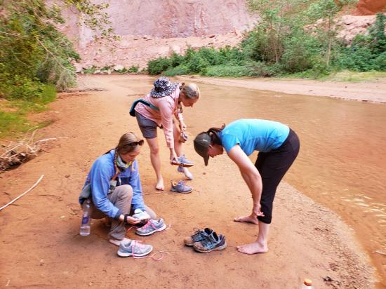
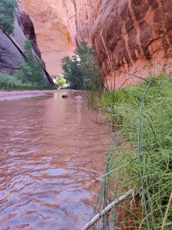
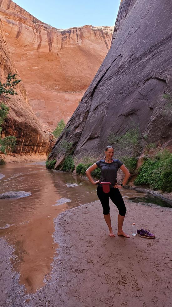
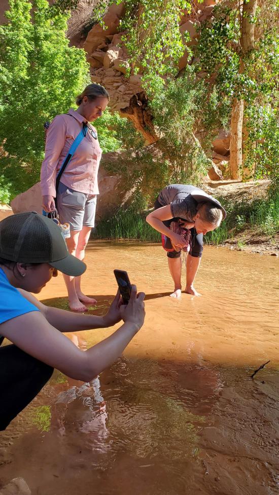
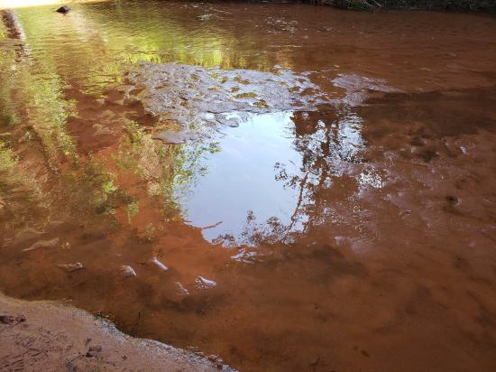
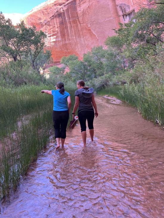
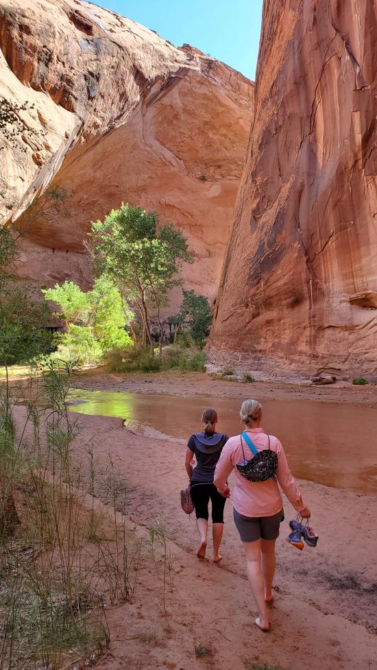
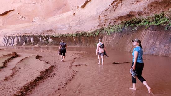
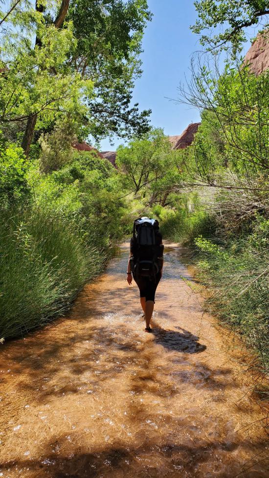
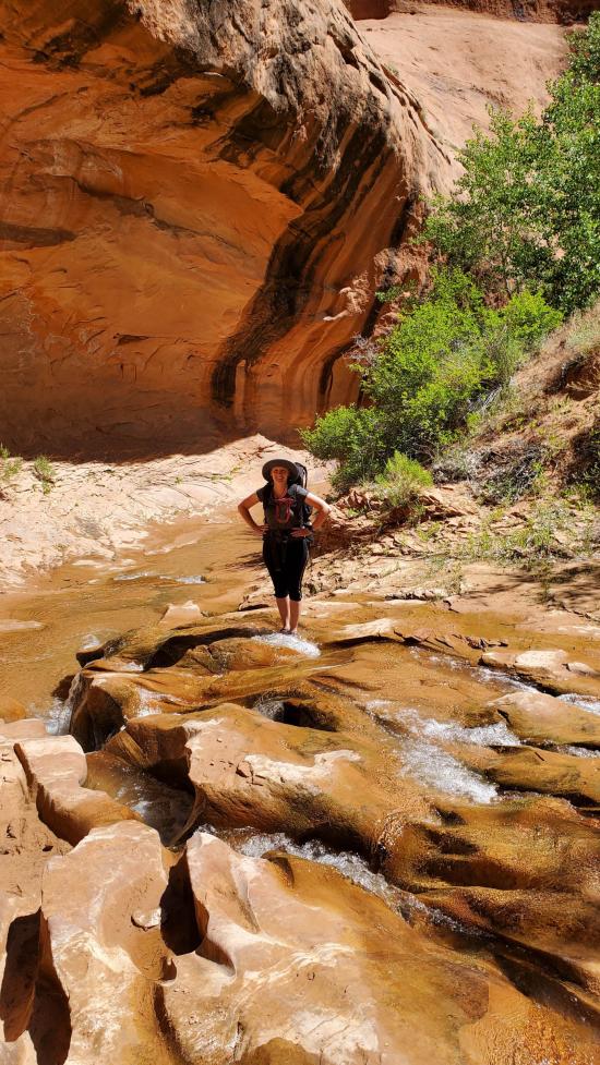
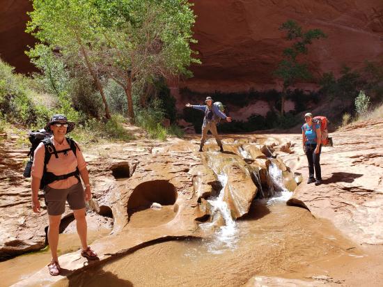
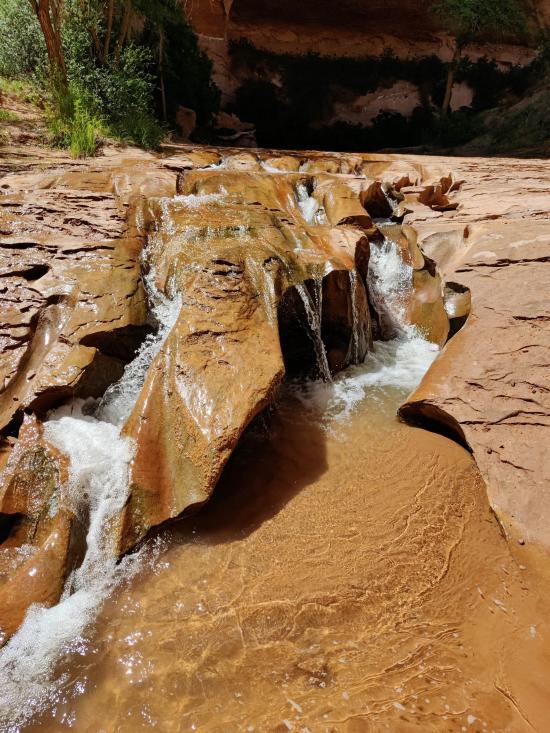
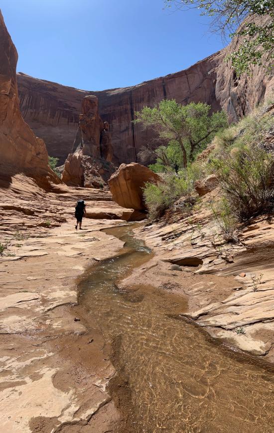
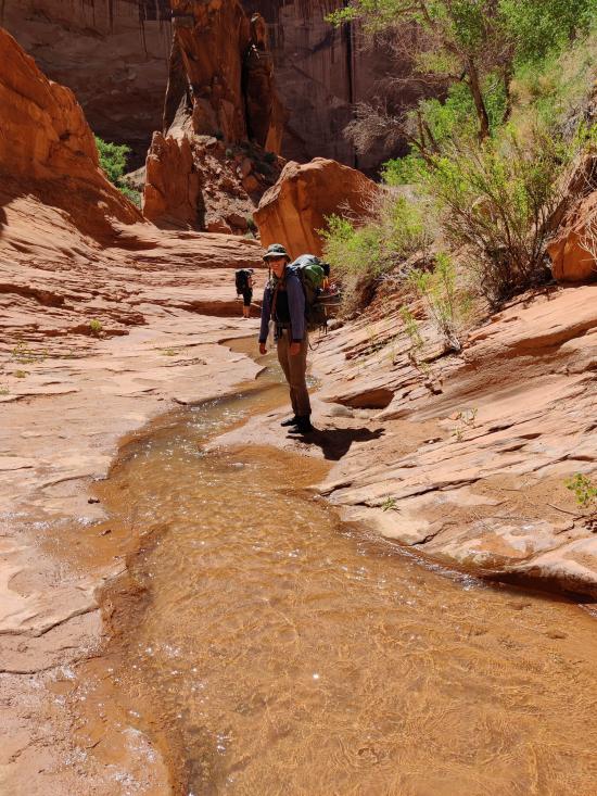
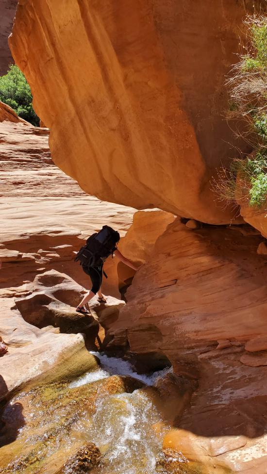
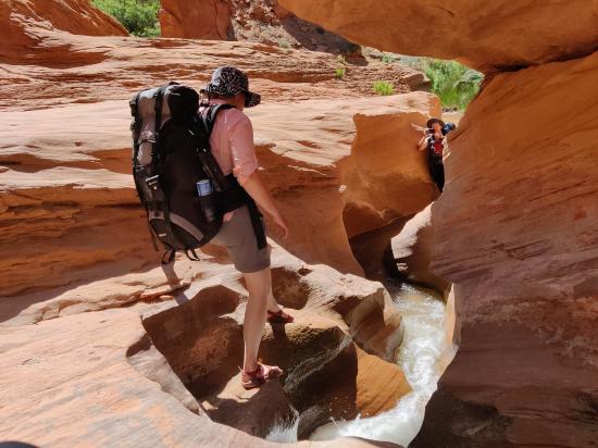
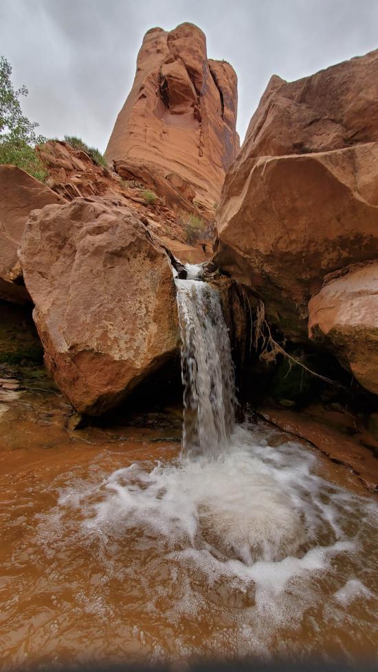
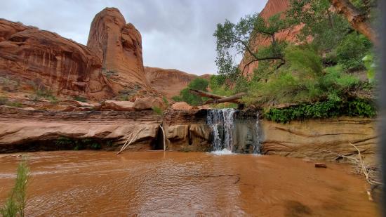
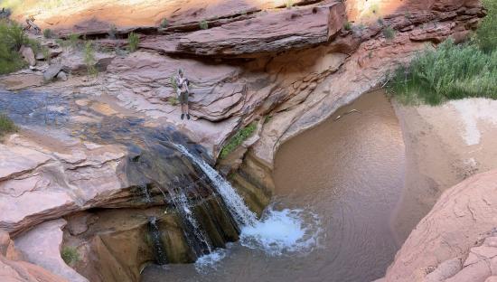
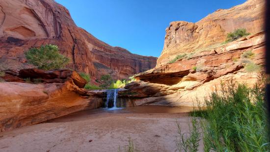
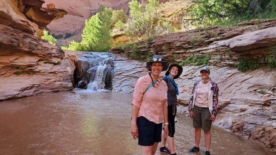
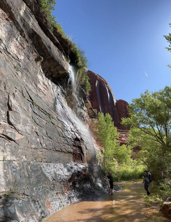
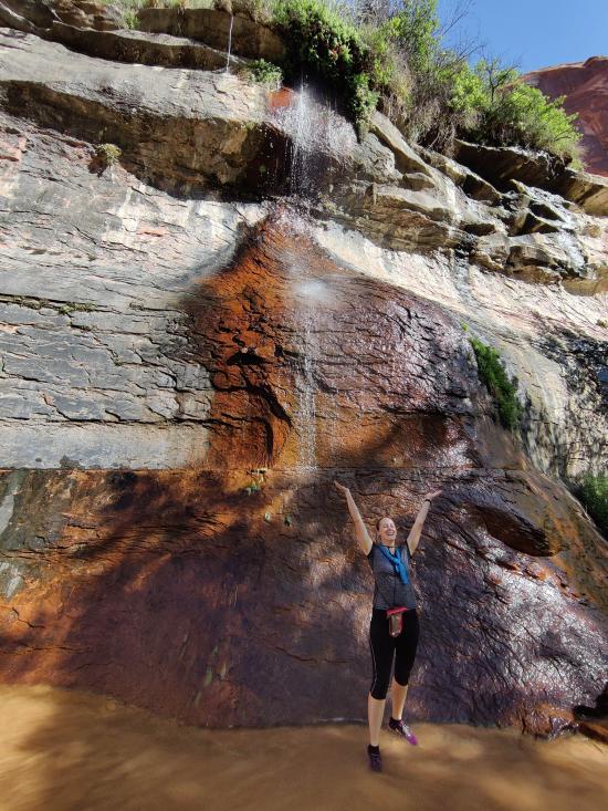
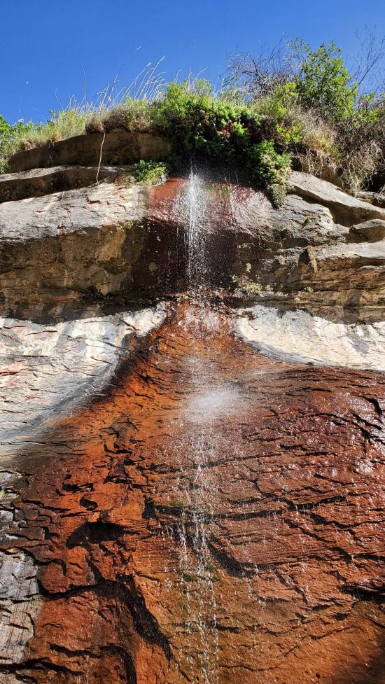
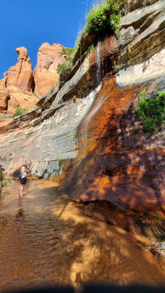
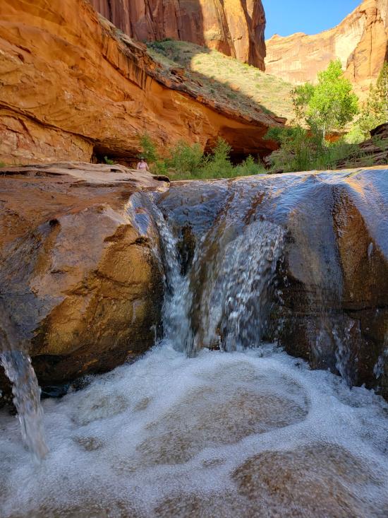
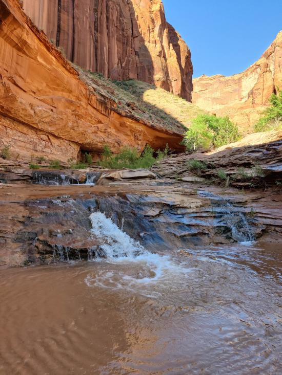
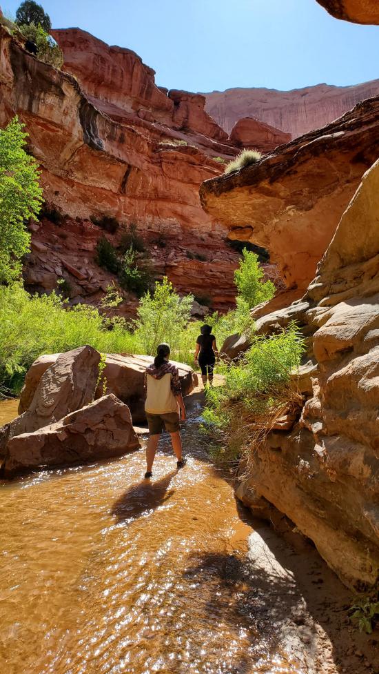
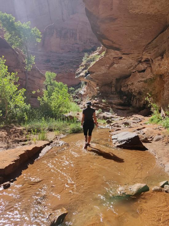
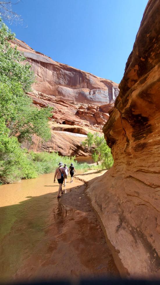
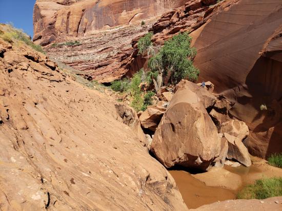
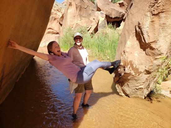
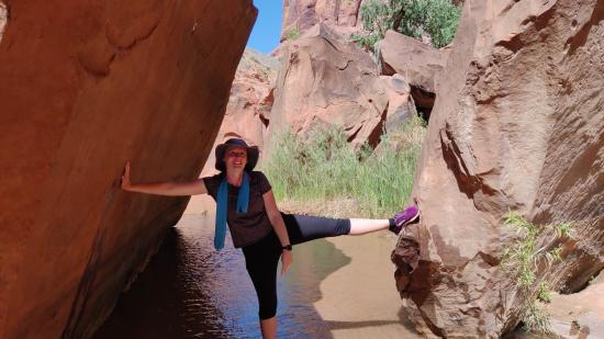
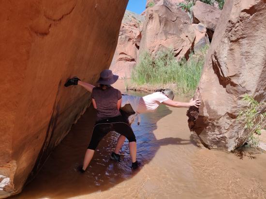
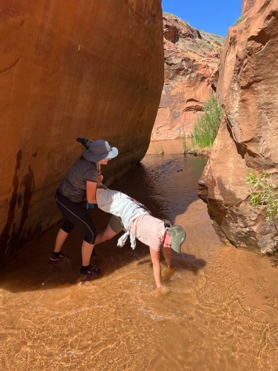
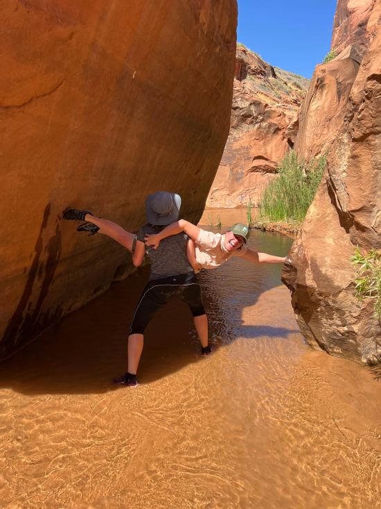
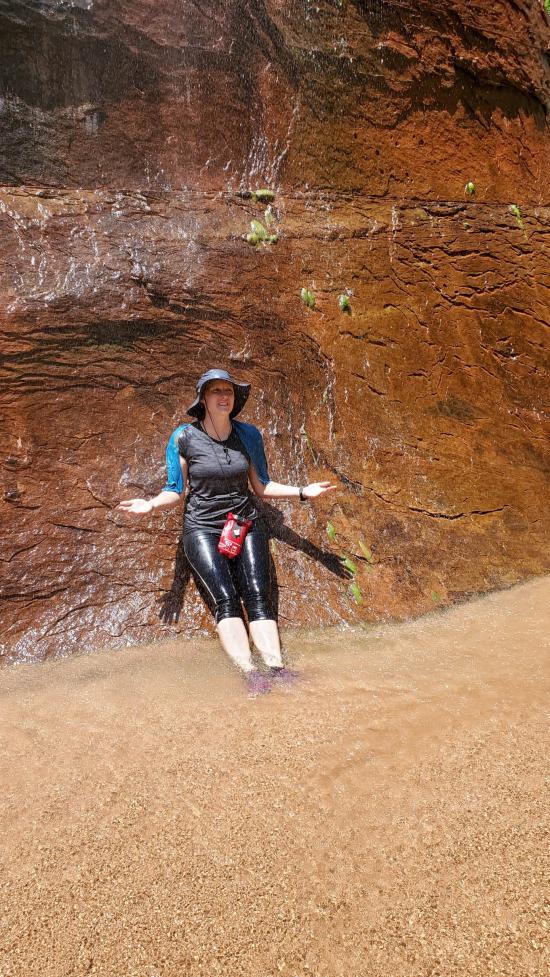
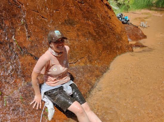
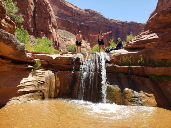
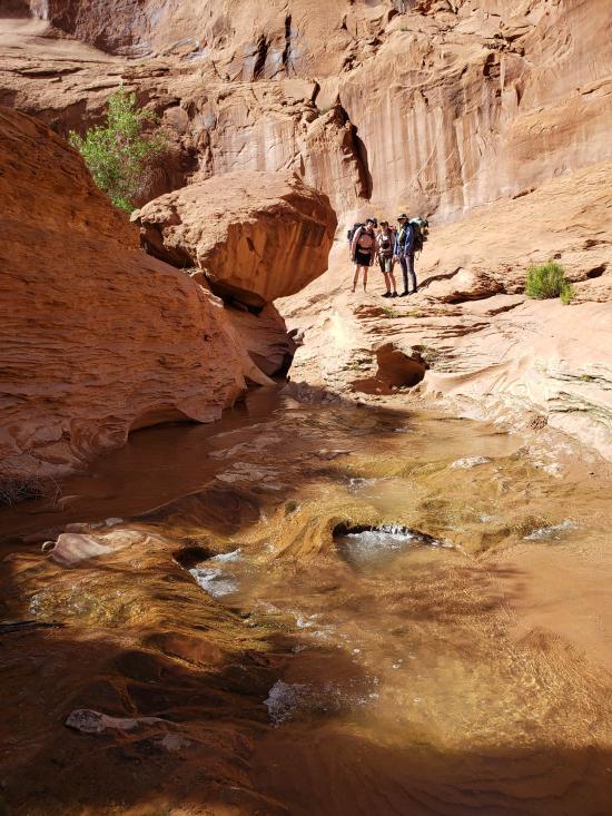
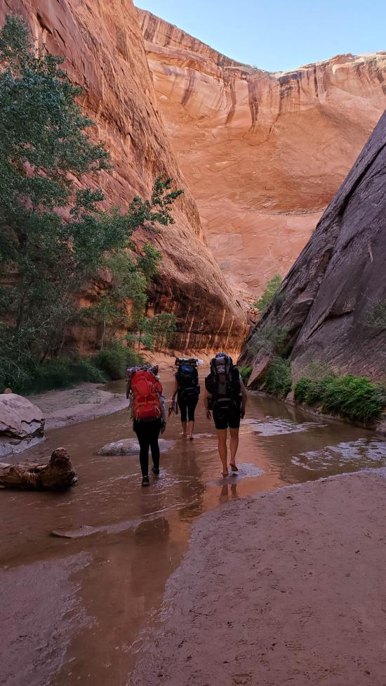
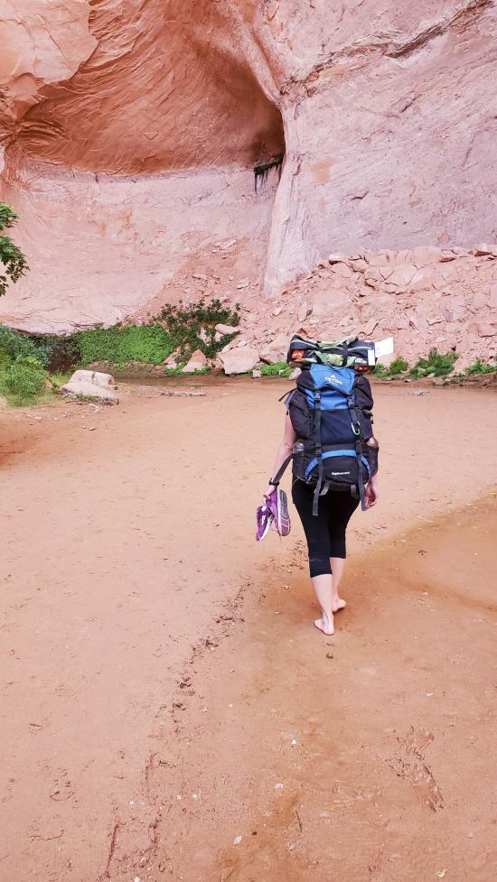
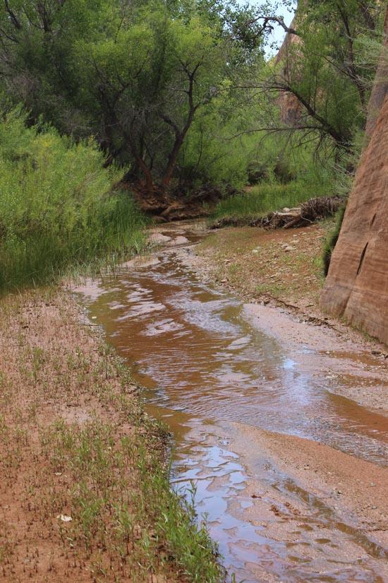
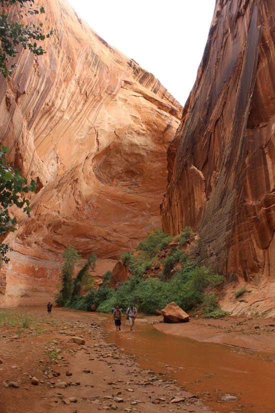
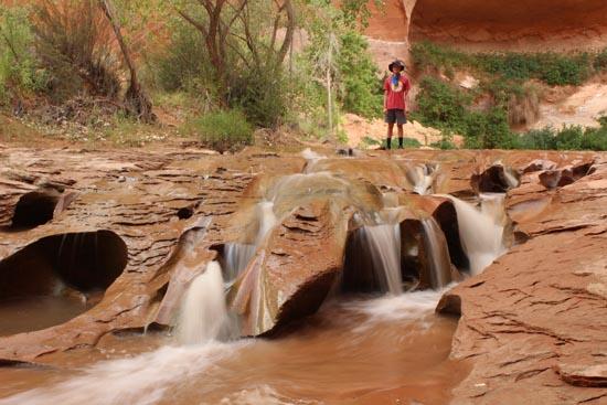
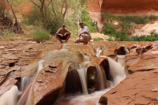
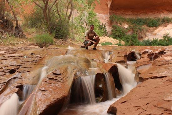
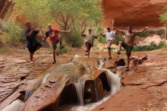
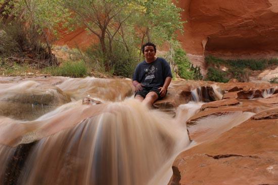
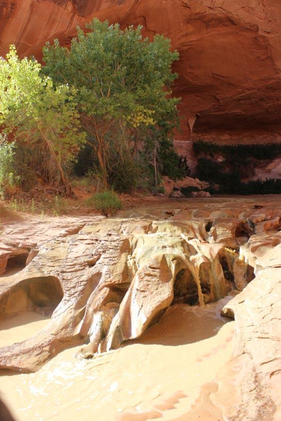
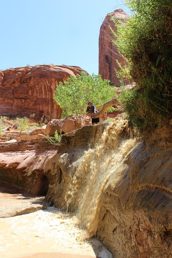
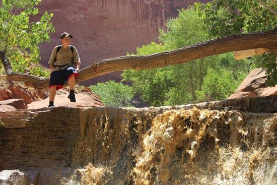
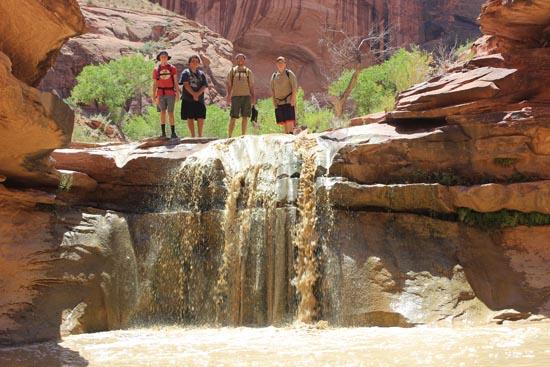
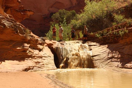
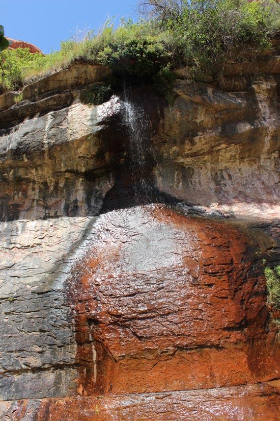
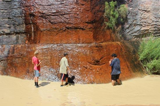
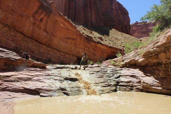
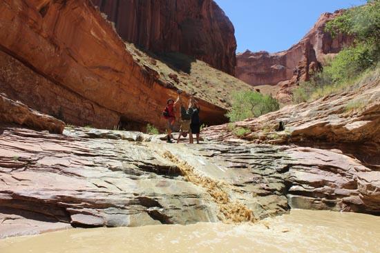
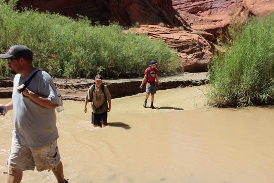
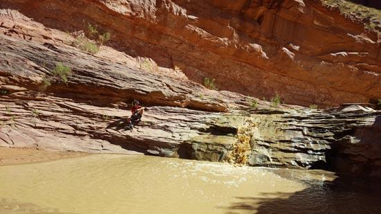
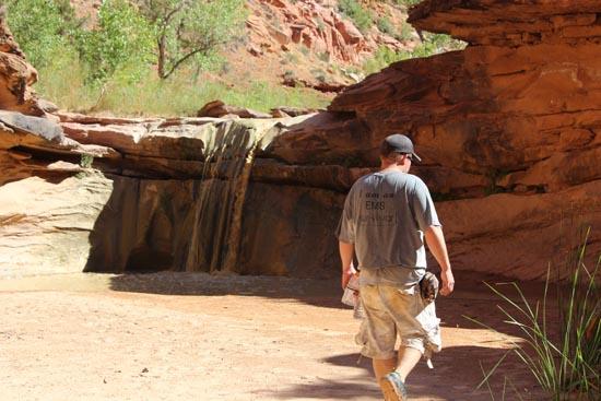
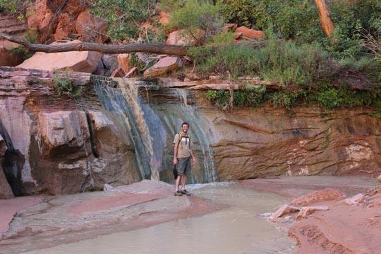
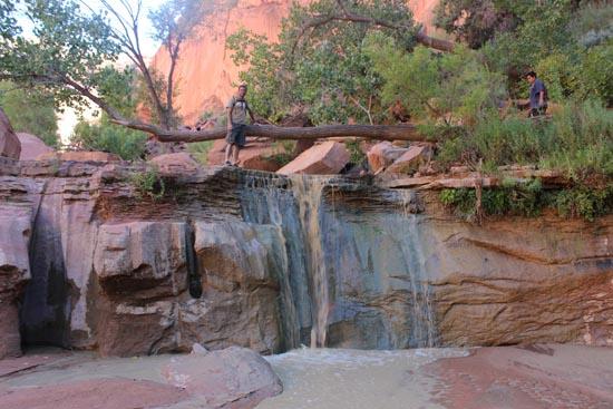
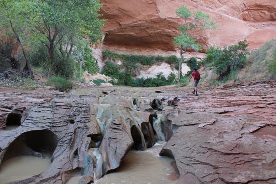
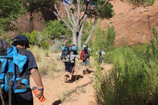
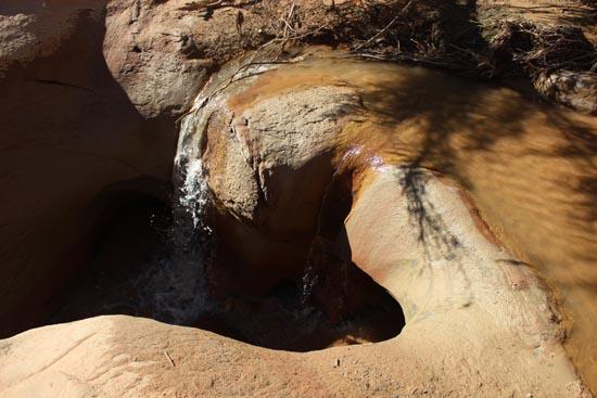
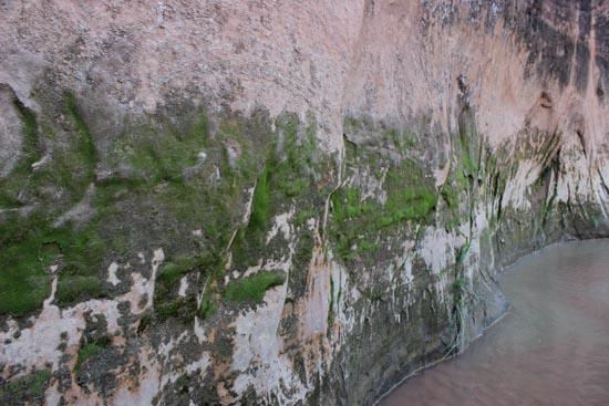
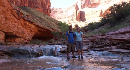
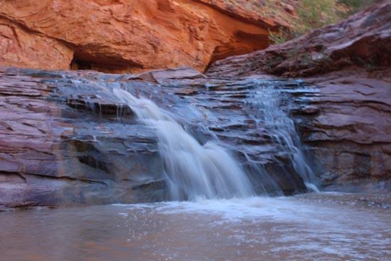
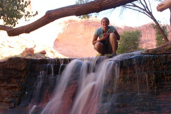
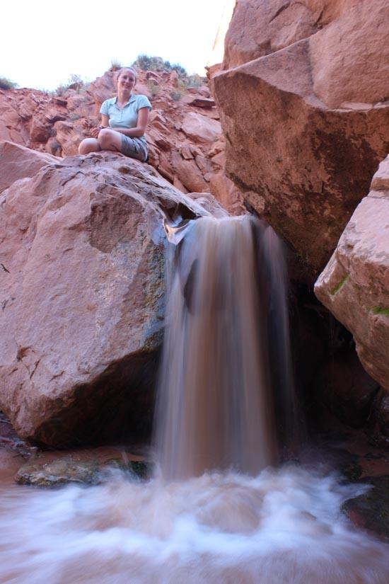
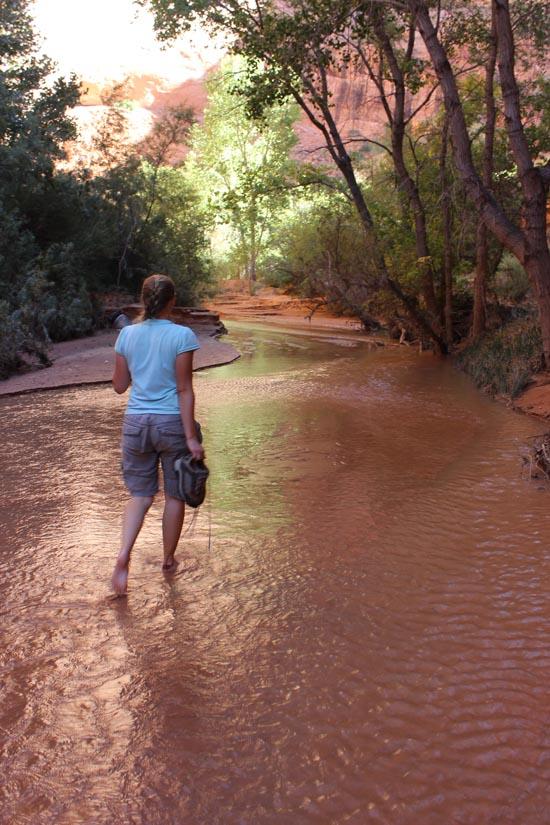
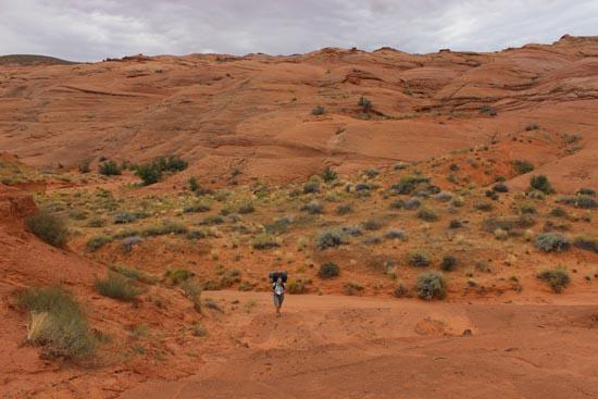
We retraced our steps, picked up our packs, and started heading downstream. I ended up in the front for the most part, but we took it super easy and enjoyed the scenery. Swiss Cheese Falls had less water than it did when I did this before.
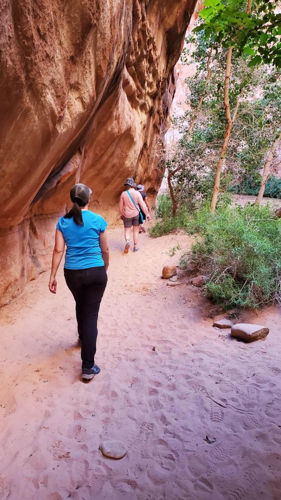
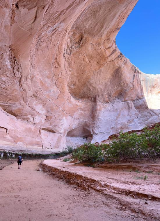
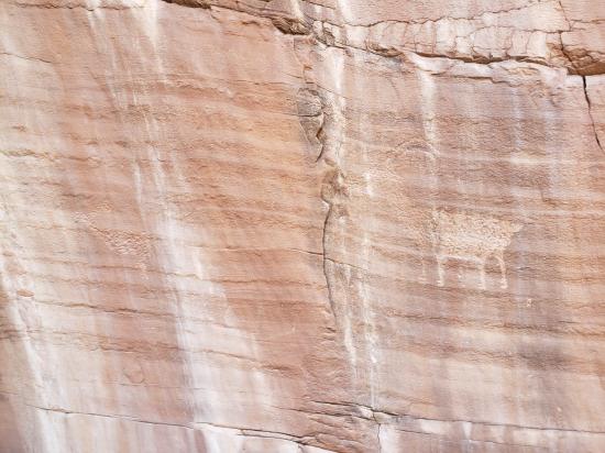
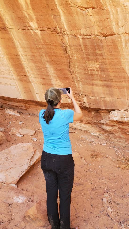
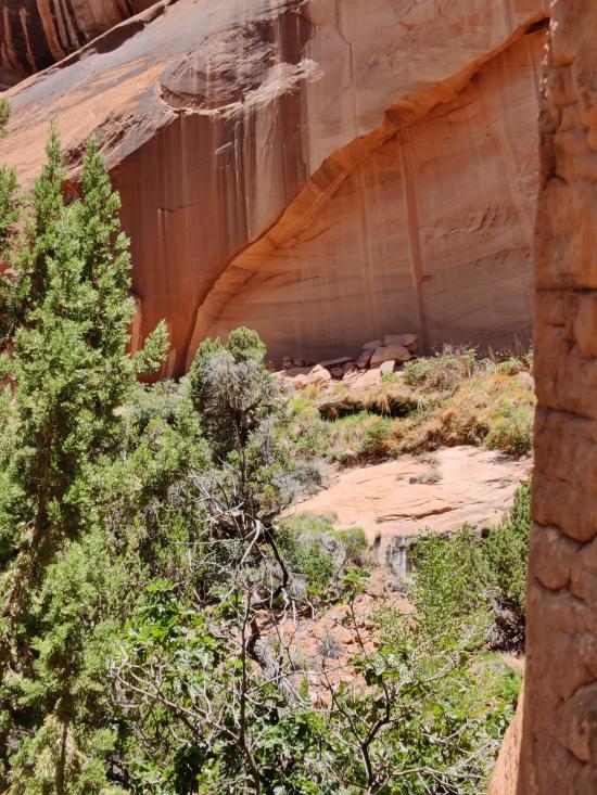
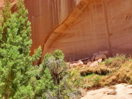
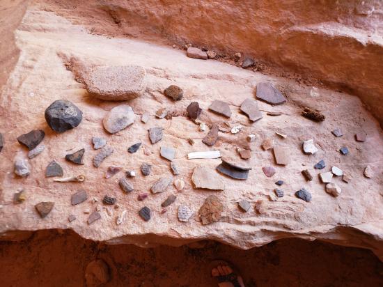
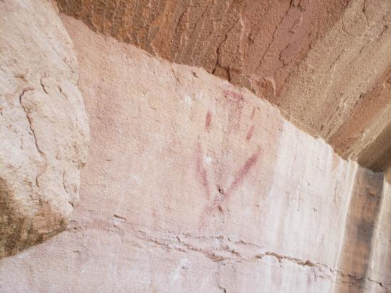
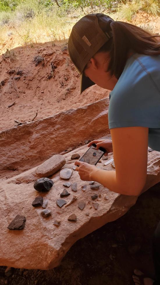
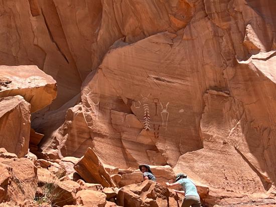
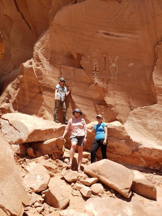
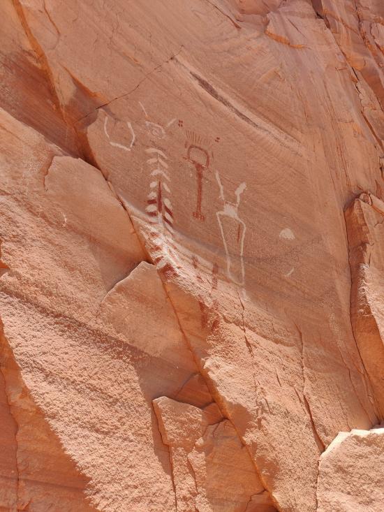
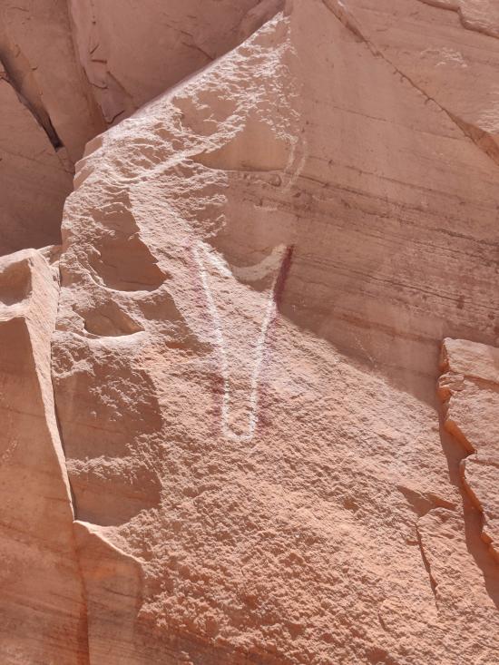
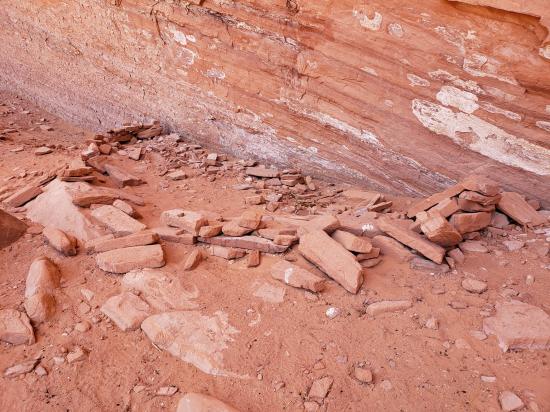
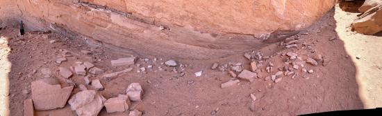
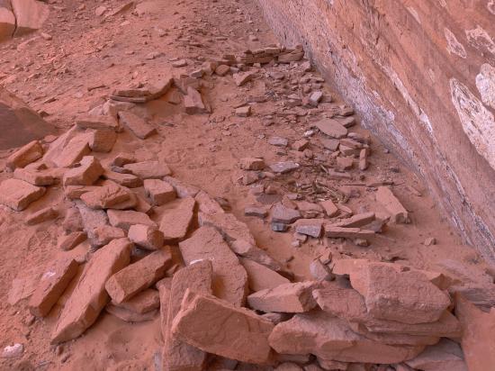
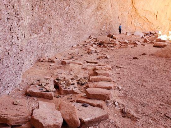
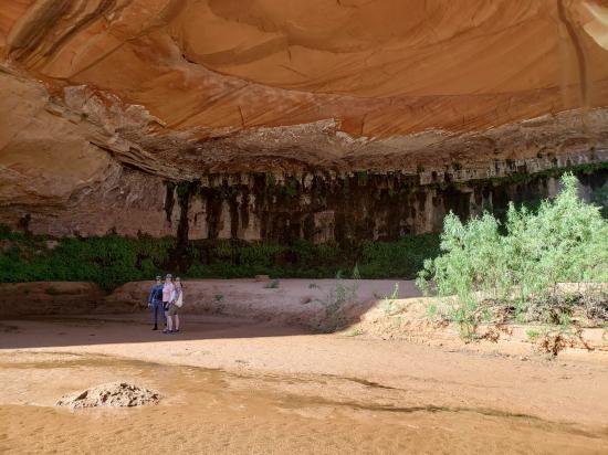
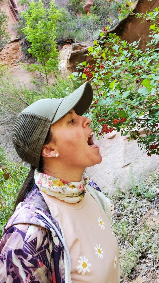
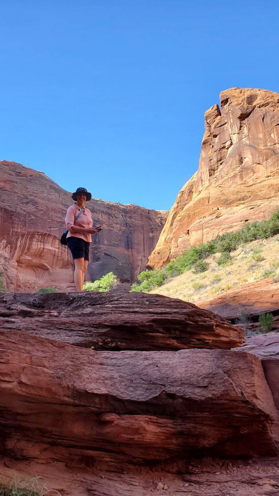
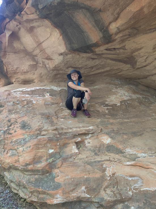
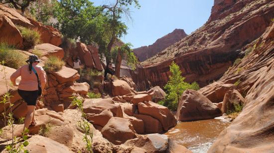
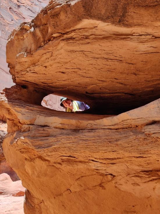
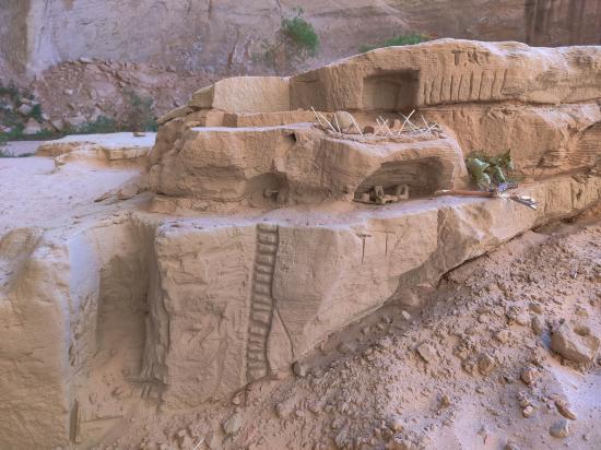
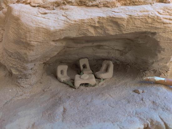
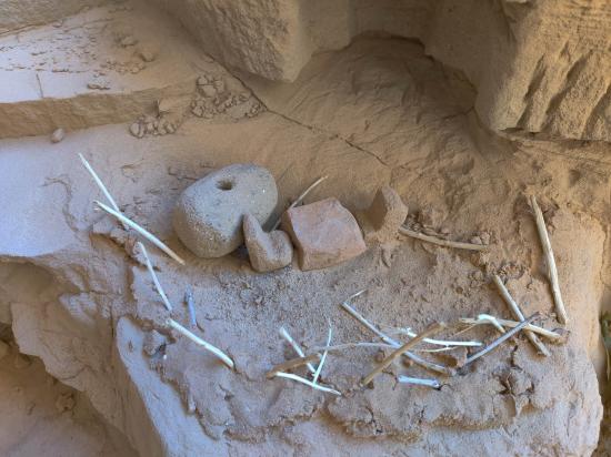
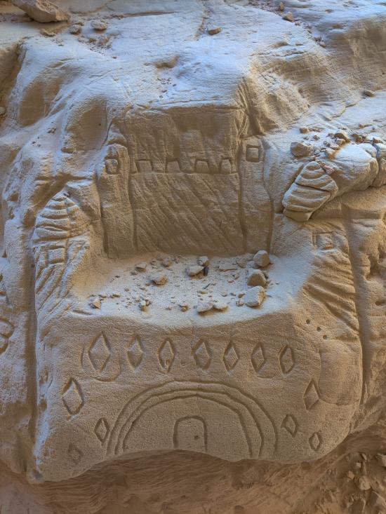
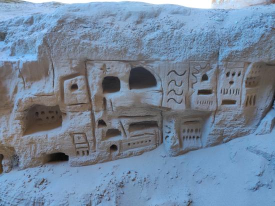
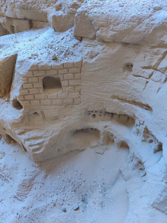
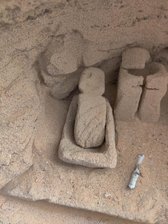
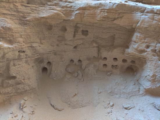
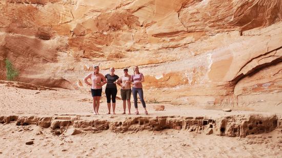
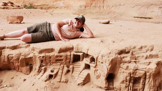
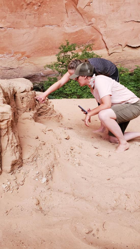
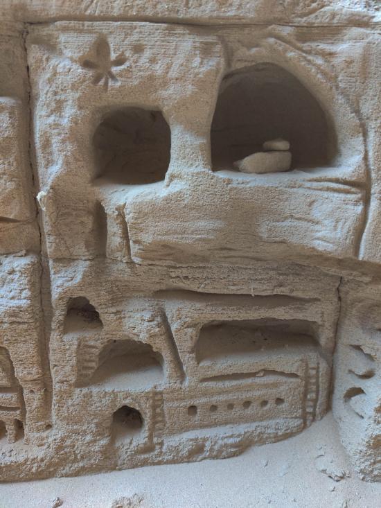
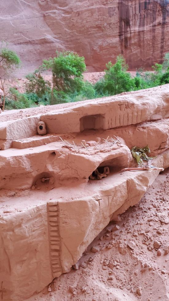
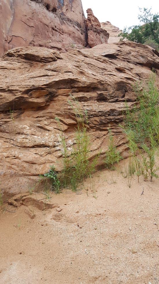
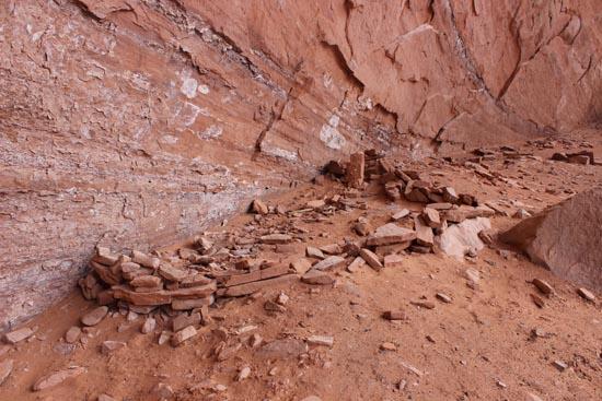
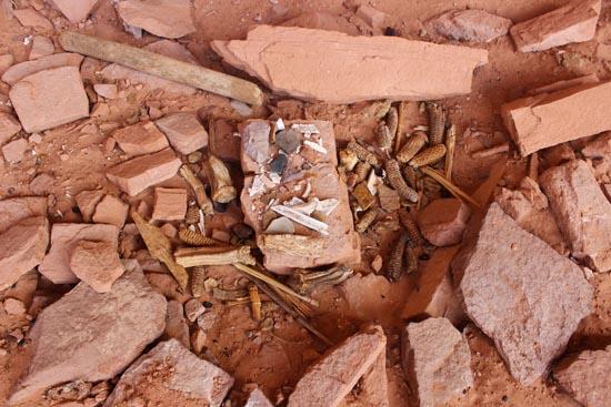
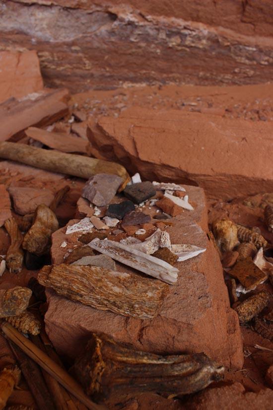
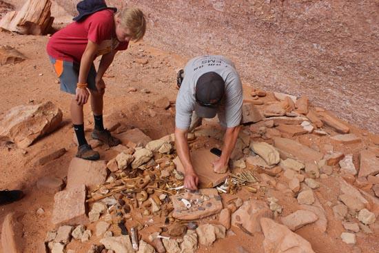
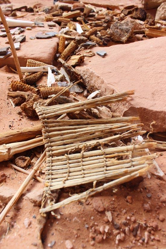
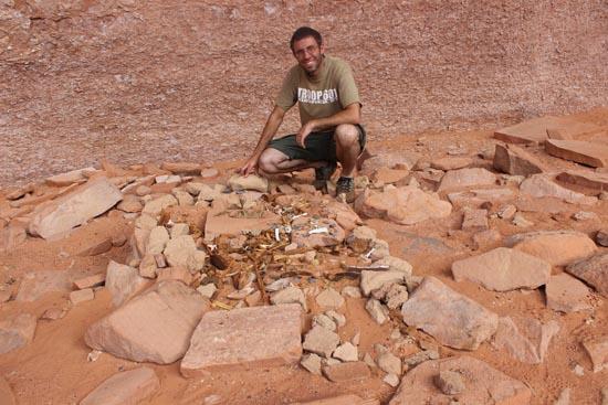
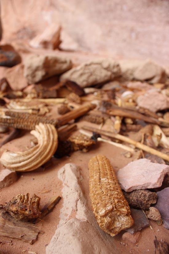
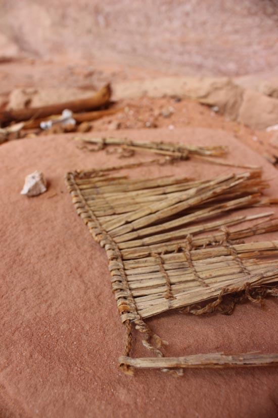
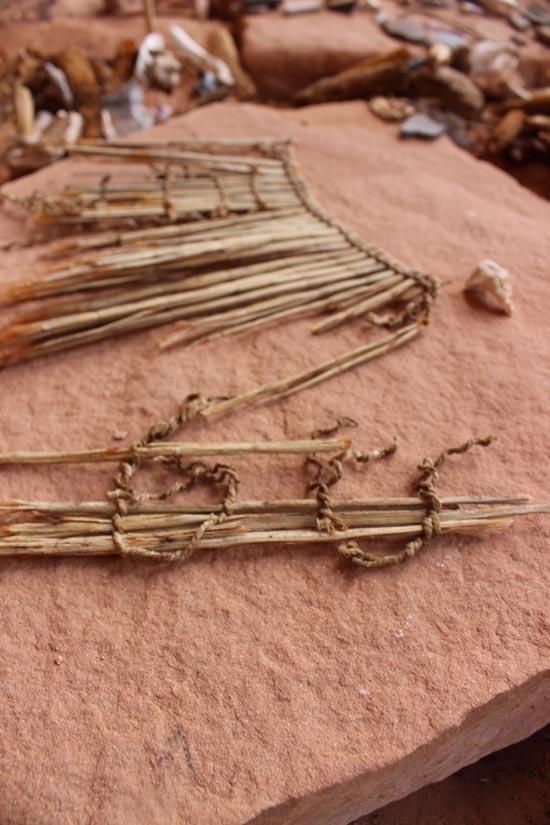
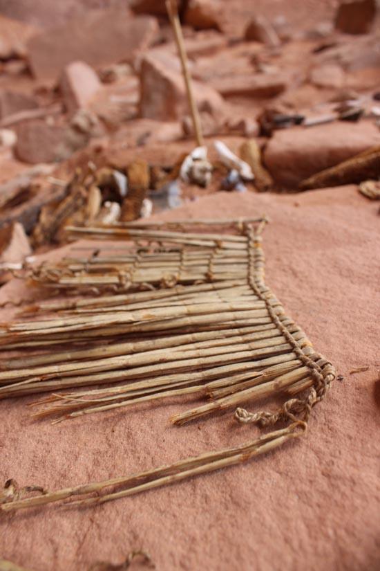
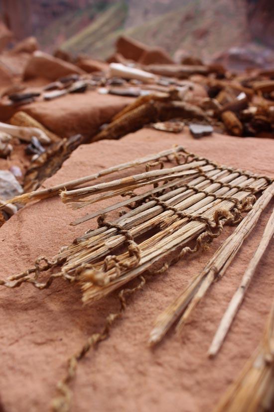
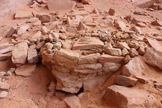
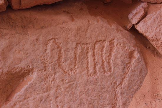
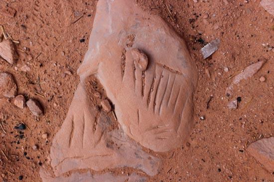
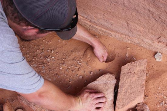
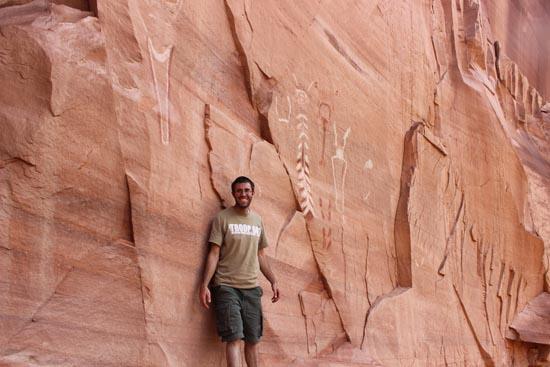
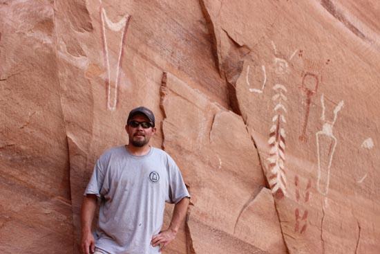
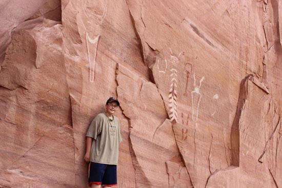
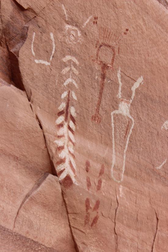
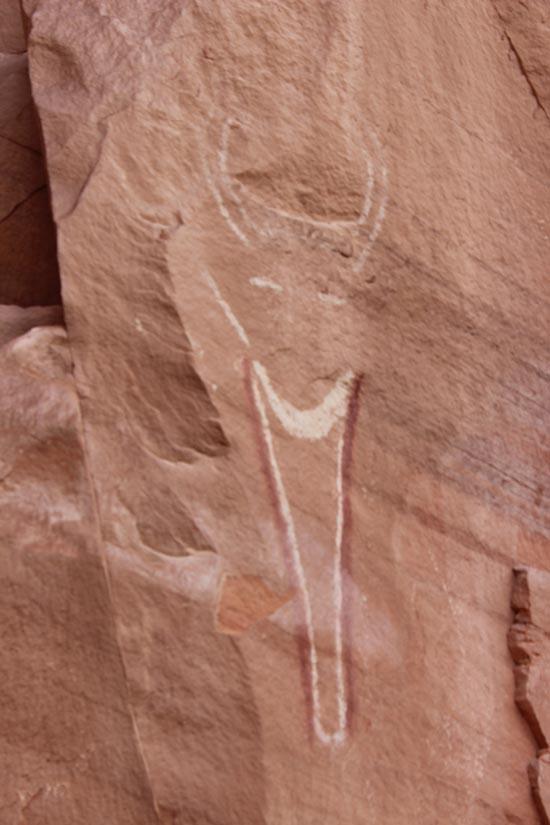
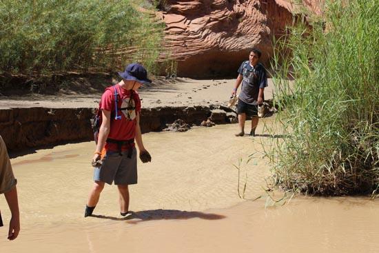
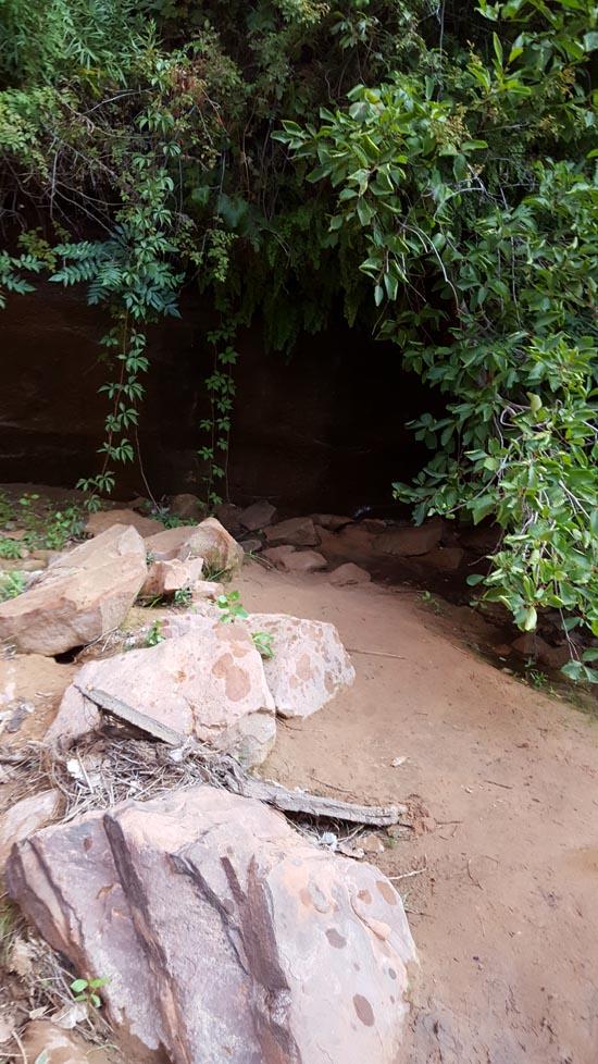
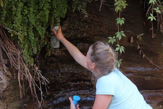
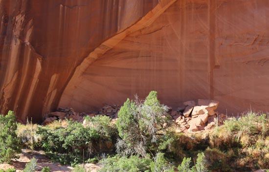
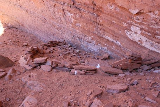
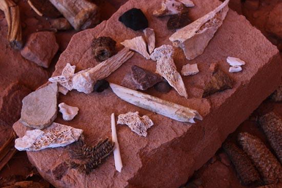
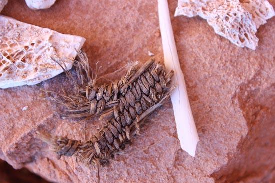
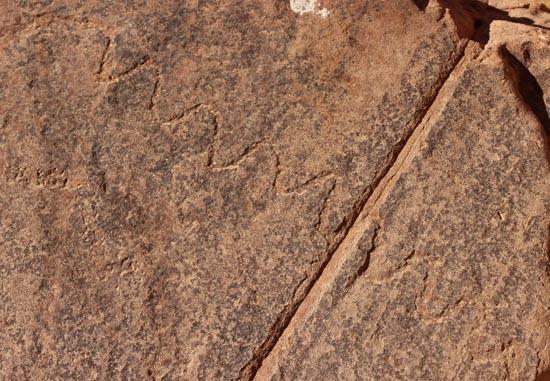
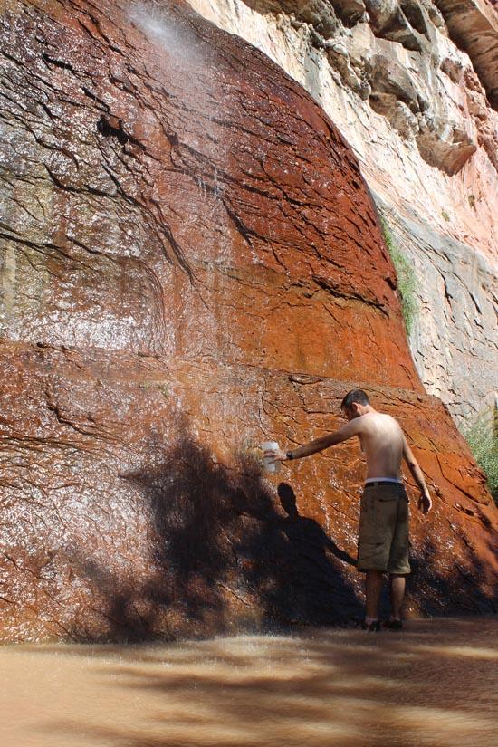
I had a few placemarks for some of the pictographs and petroglyphs in the canyon. We stopped at a few. We hiked up to one without our packs and it was pretty cool to see them up close. There we also the remains of some cliff dwellings with lots of artifacts.
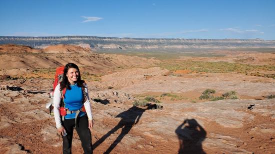
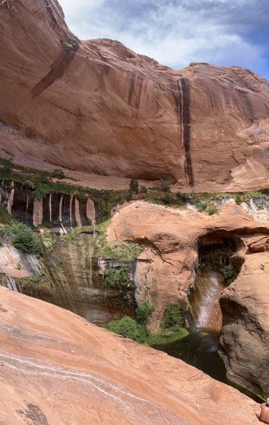
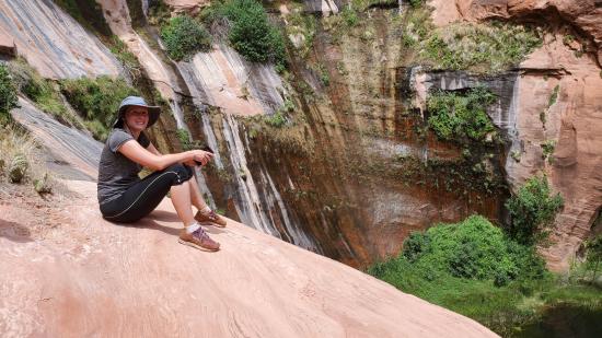
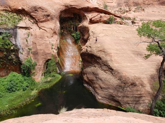
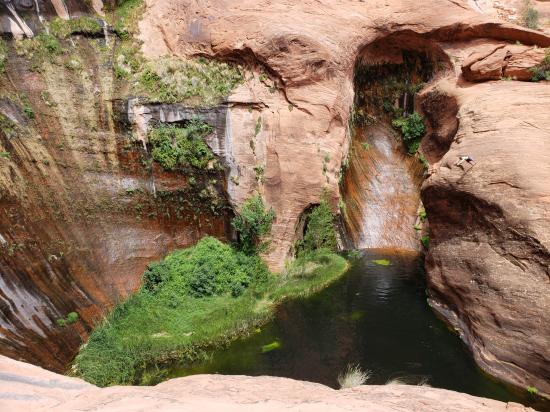
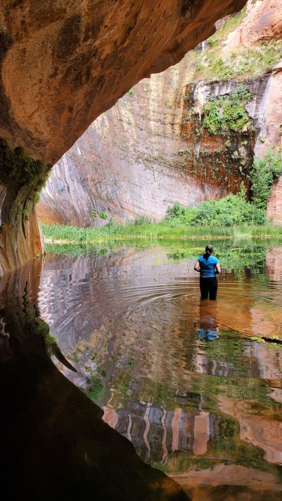
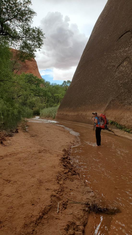
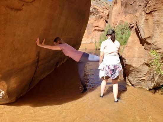
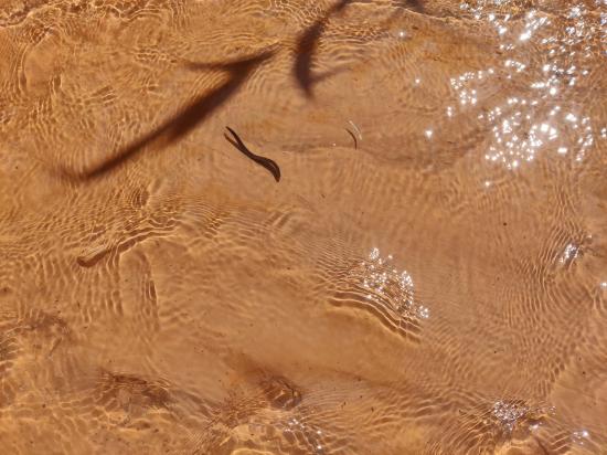
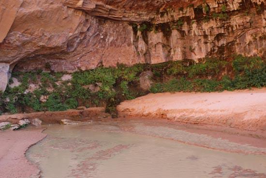
Marci was super excited to check out the black lagoon. When we got up there, there was a big group with some guys doing some cliff jumping. We stayed and watched them jump, all the while thinking how crazy these guys are. Marci thought it would be fun to swim in it, which was fine until we saw what we thought were leeches. Yep, no thanks! A thunderstorm came through when we were leaving the lagoon and it made it windy but the temperature was super pleasant.
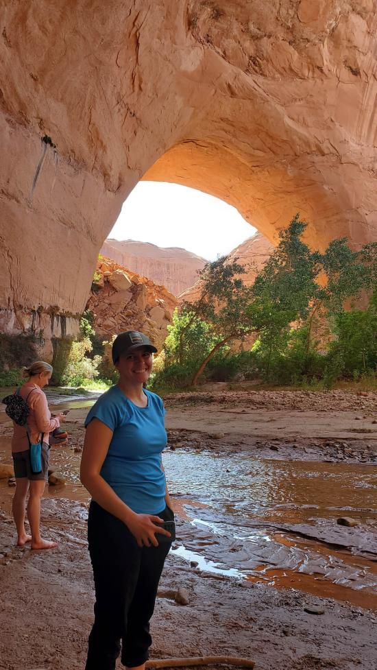
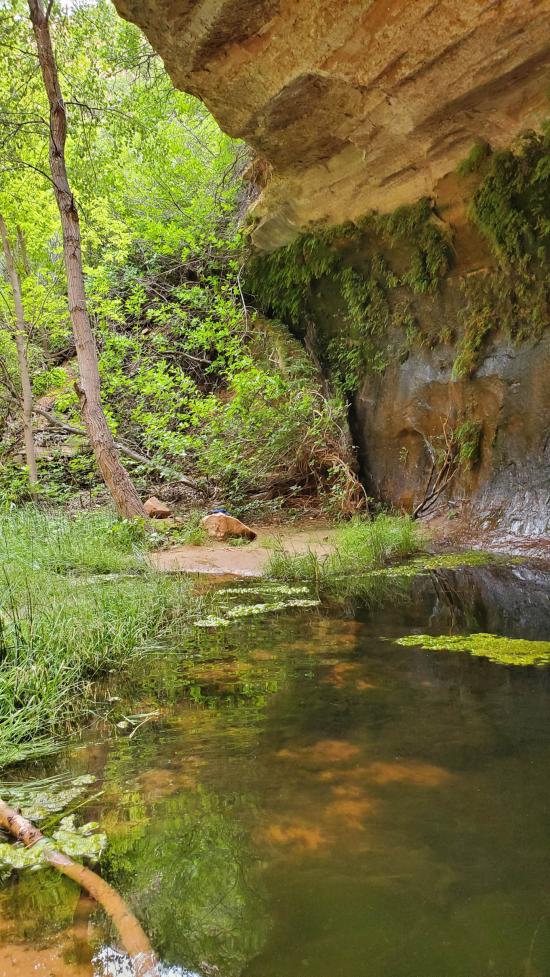
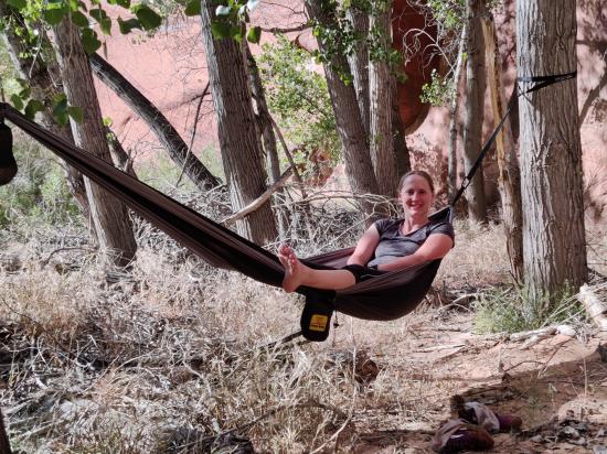
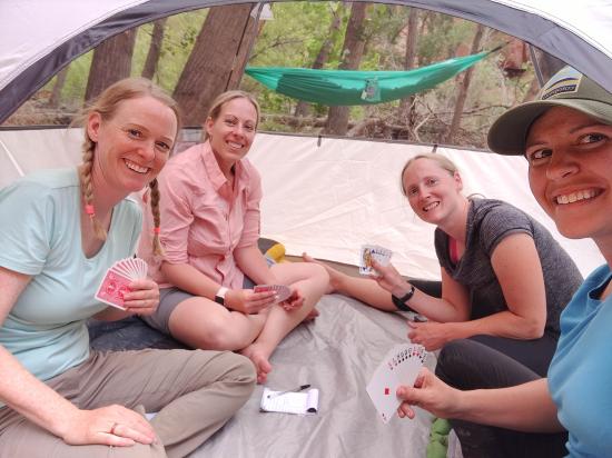
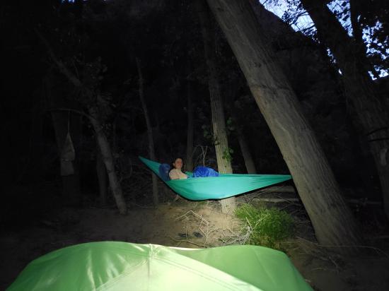
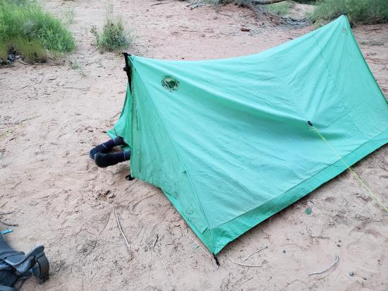
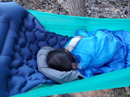
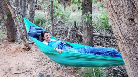
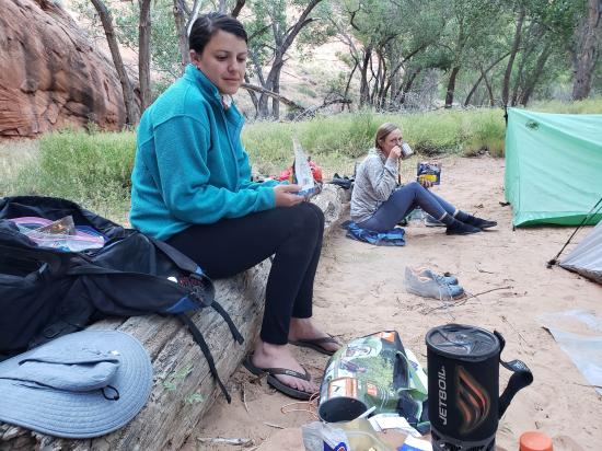
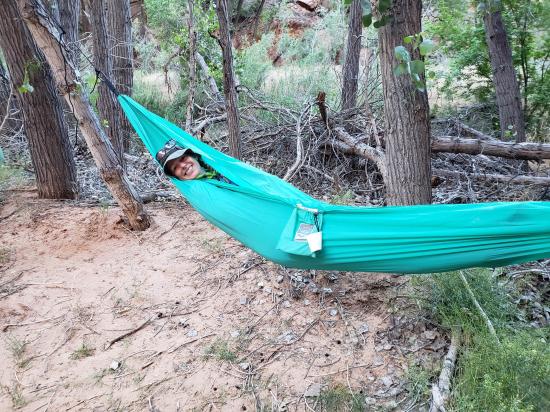
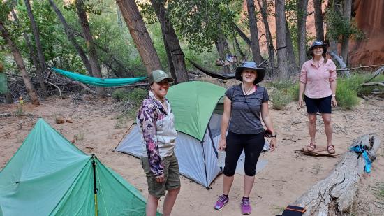
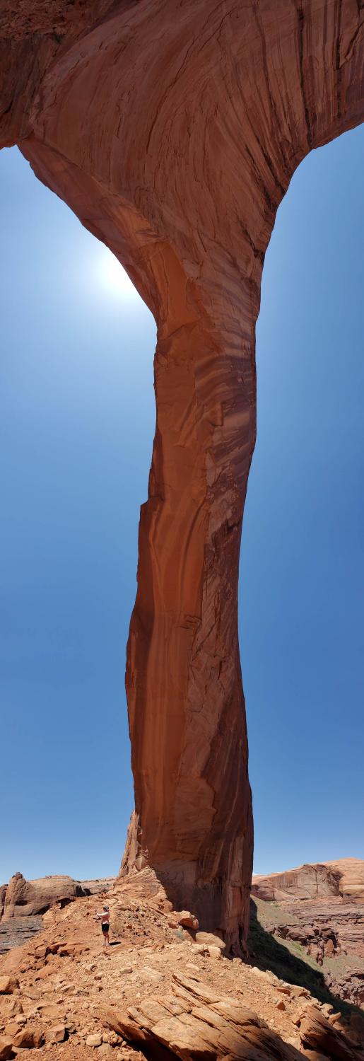
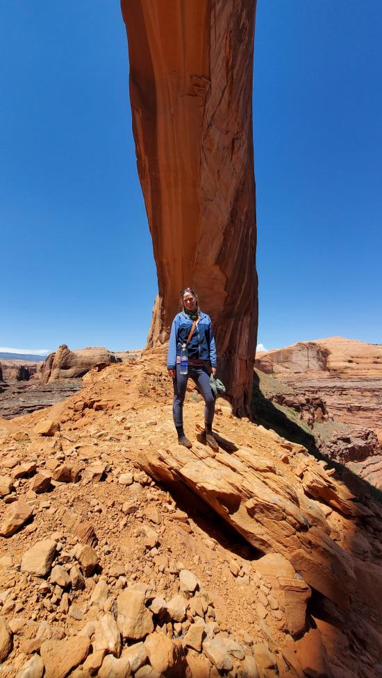
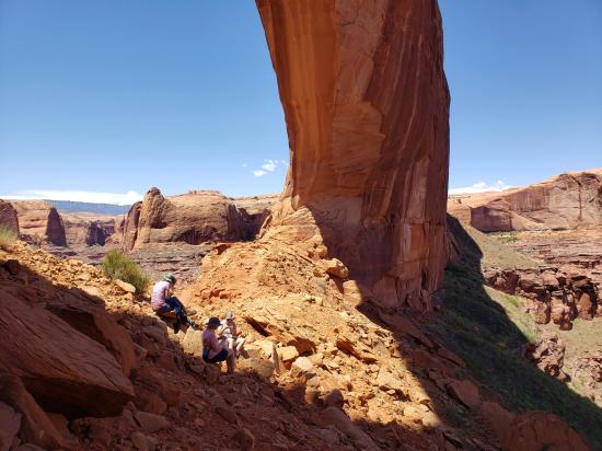
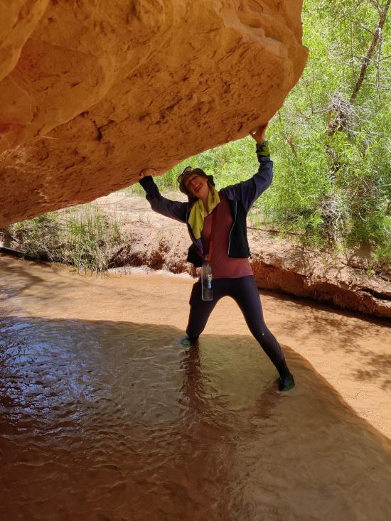
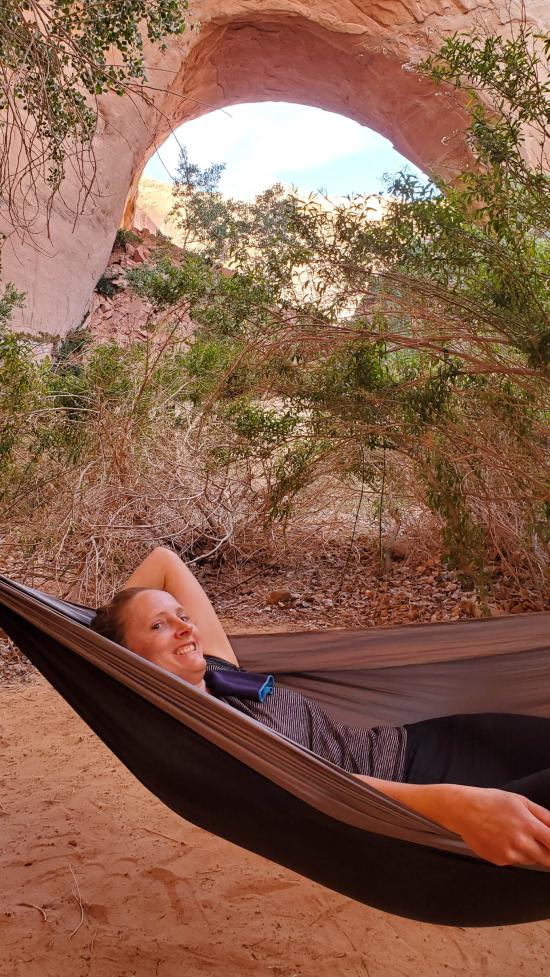
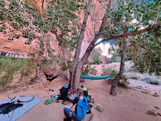
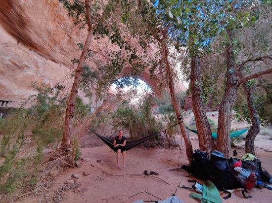
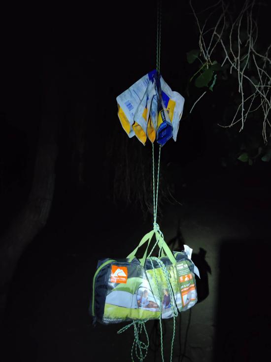
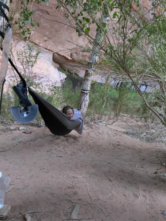
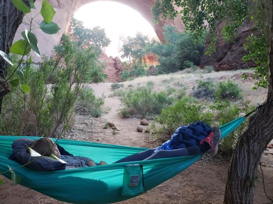
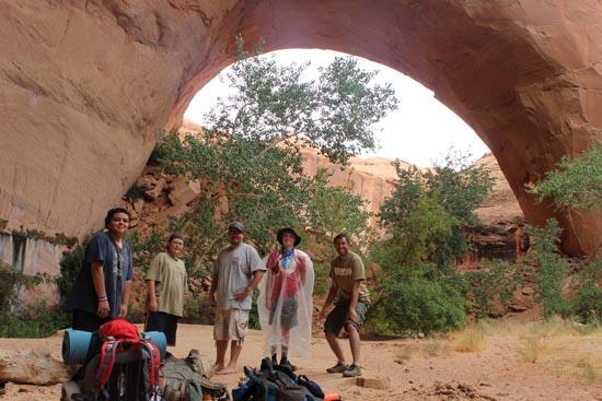
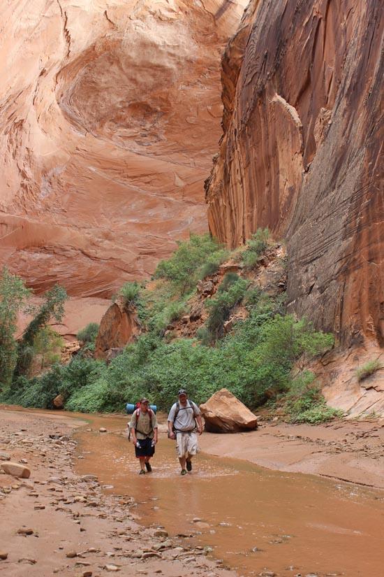
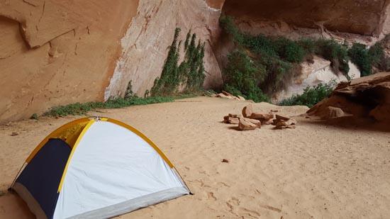
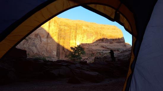
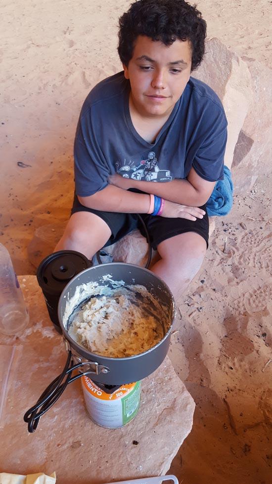
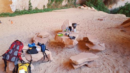
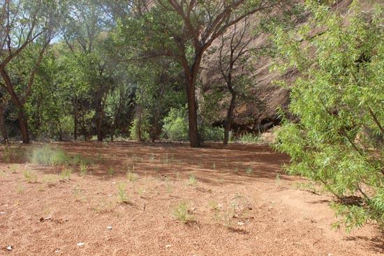
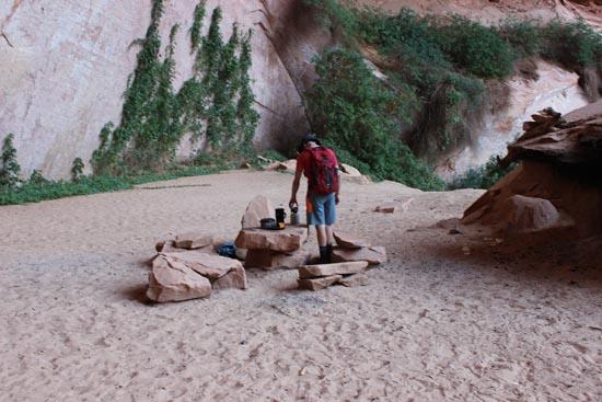
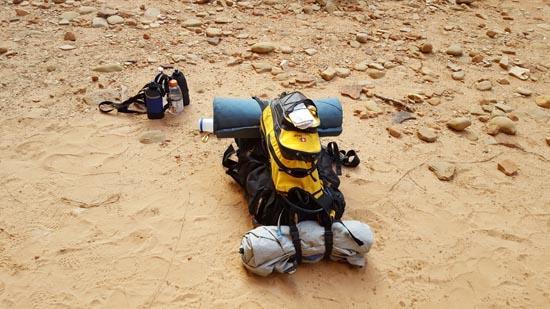
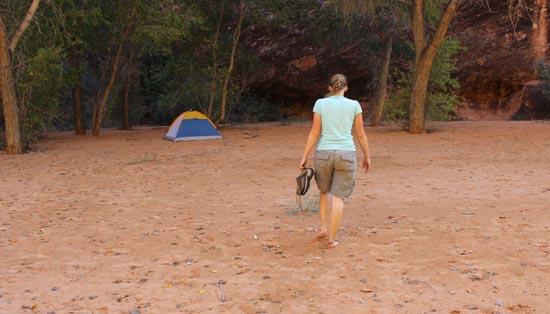
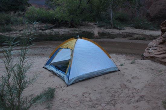
We hiked down to Jug Handle/Cliff Arch and heated up water to make for dinner. It was only 4 o'clock, but we were getting hungry and it was sprinkling on us. We got our dinners hydrating and headed off to find a camp site. I had spotted a potential one upstream of the arch but we weren't sure if we wanted to camp there or not. We looked around for a bit and then decided we wanted to try that one. It was a winner. We had some good trees for hammocks and room for out tents. We didn't see a single person while we were at that spot. We set up camp and then played cards for the evening in the tent. Ondy slept in her hammock while the rest of us were in the tents.
Sunday
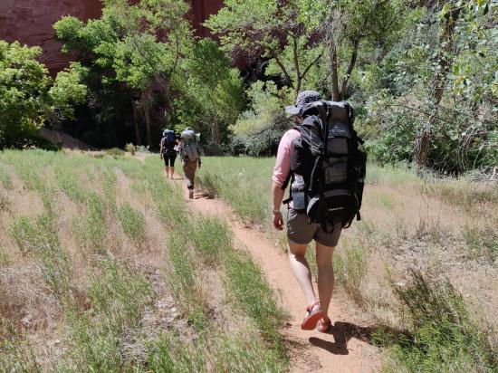
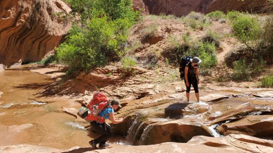
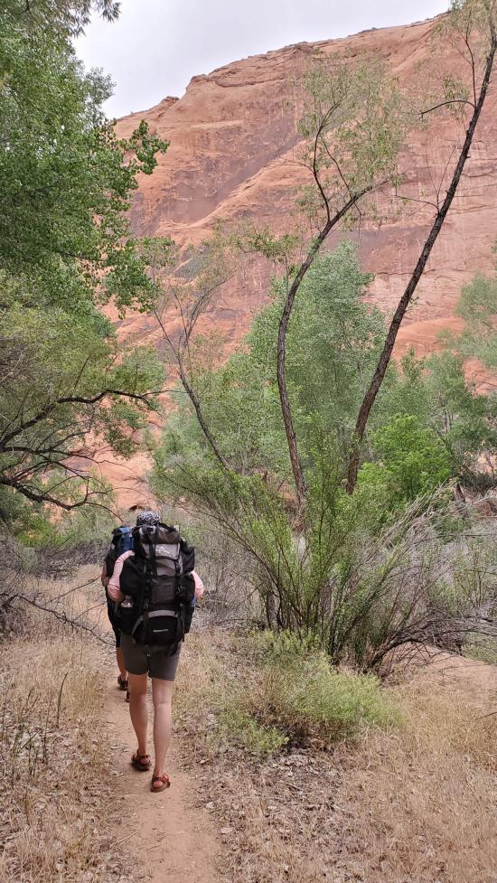
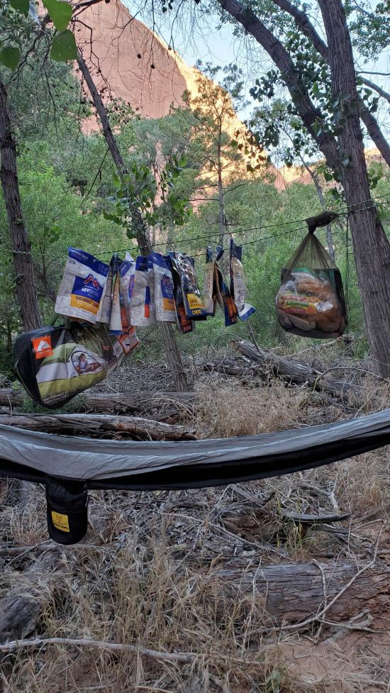
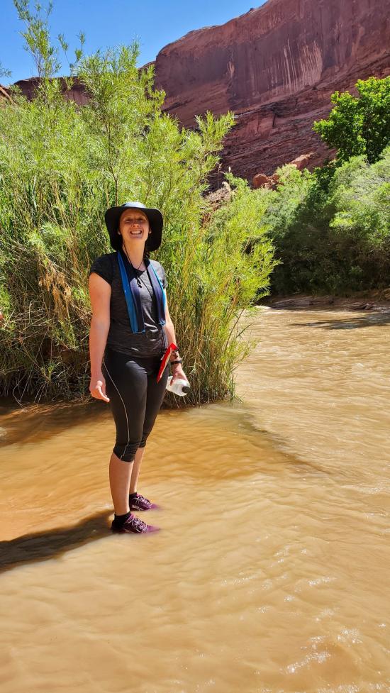
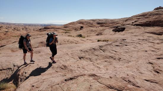
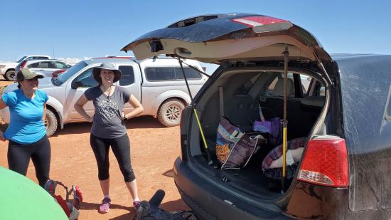
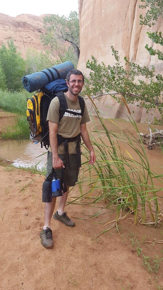
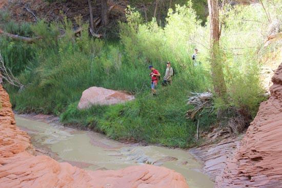
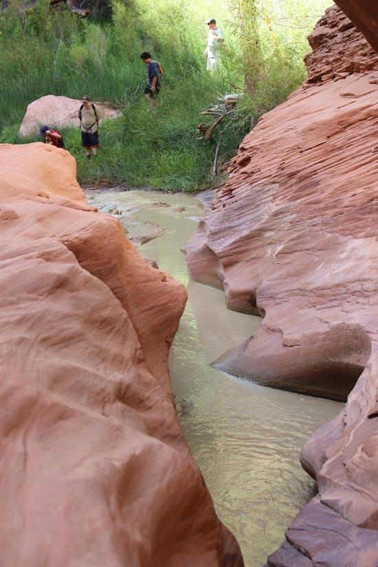
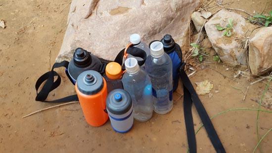
We took the morning slow. We mostly packed up our stuff but left the tents up so we could leave our stuff at camp until later. We packed water and lunch in Marci's pack and we took turns during our hike so no one carried everything the whole time.
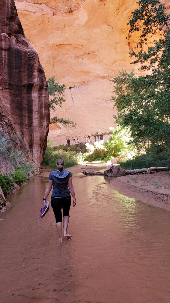
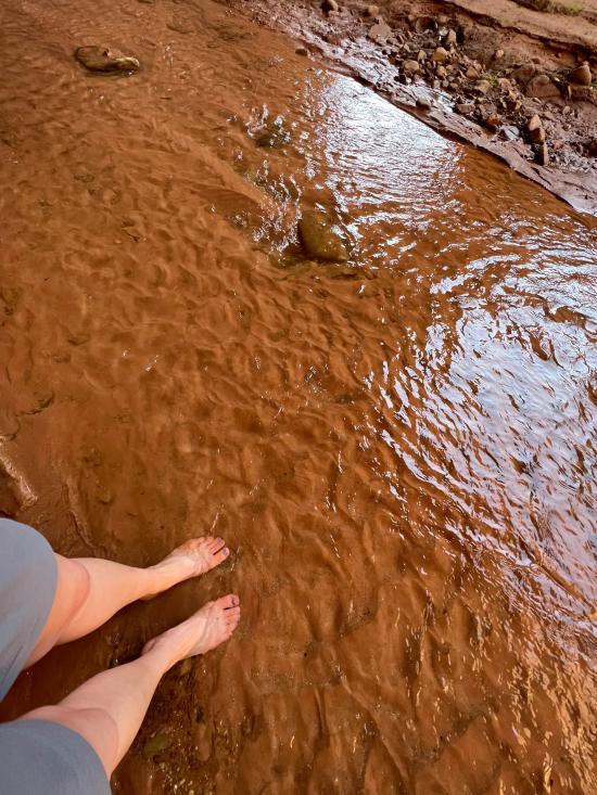
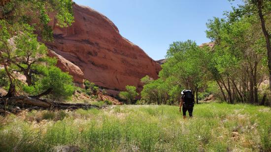
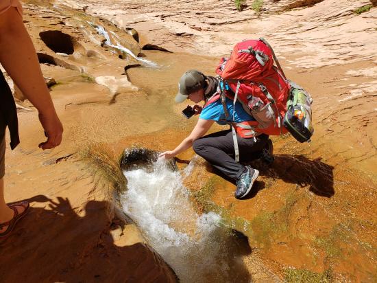
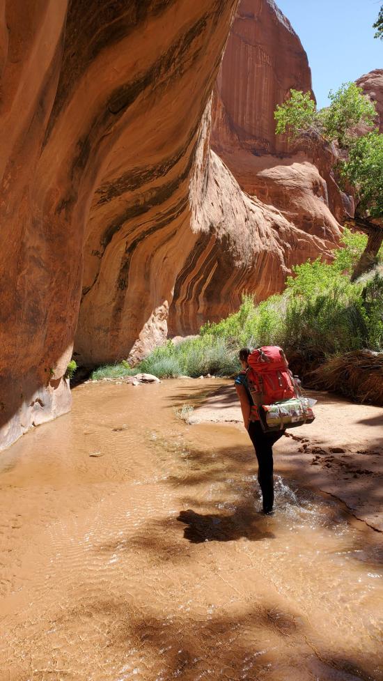
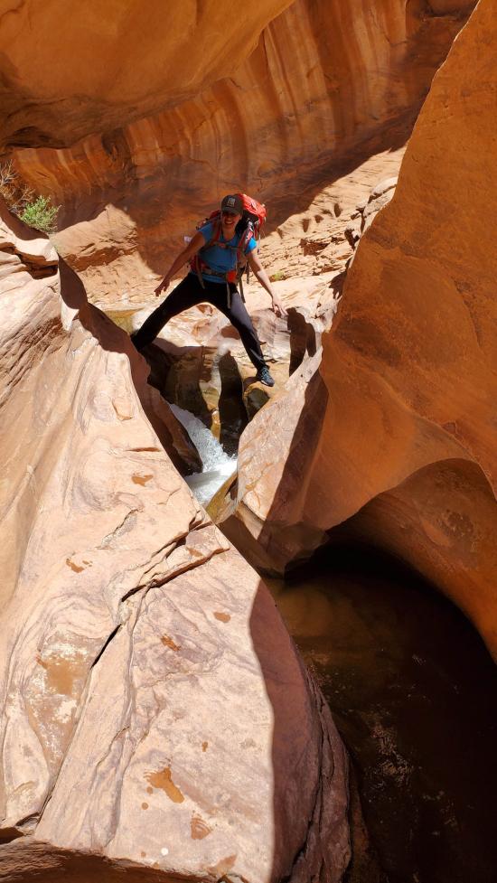
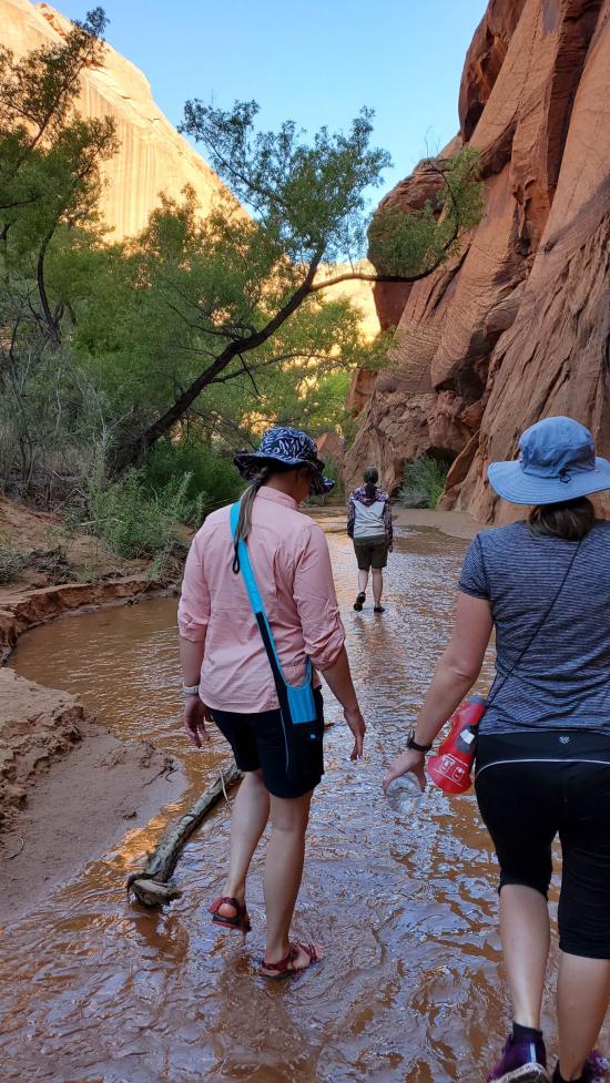
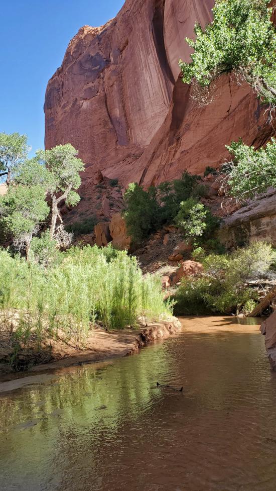
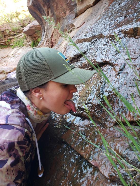
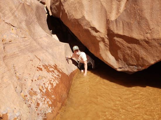
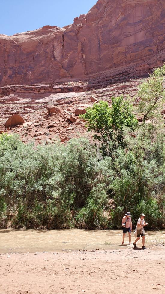
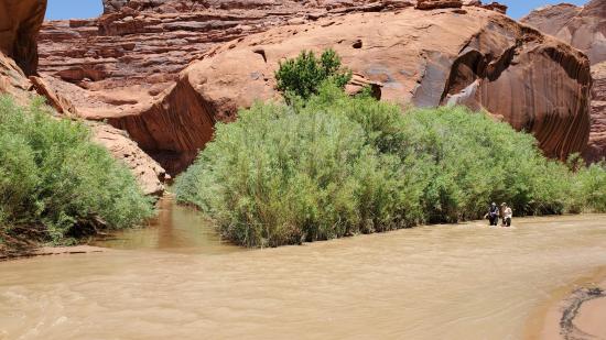
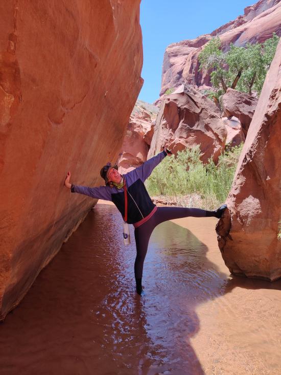
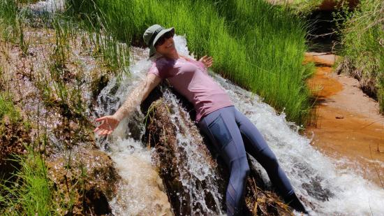
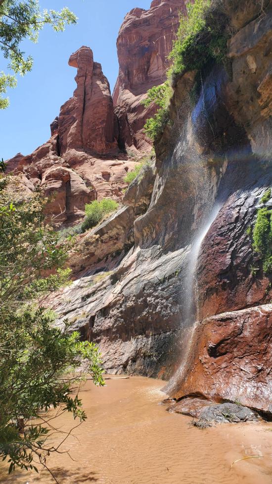
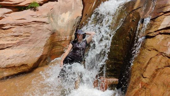
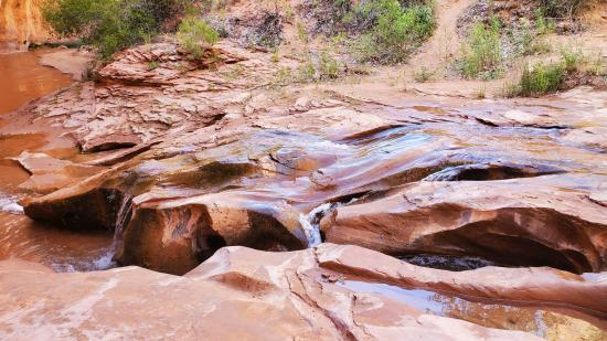
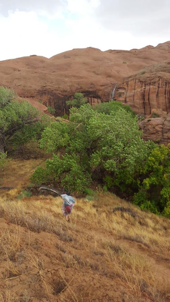
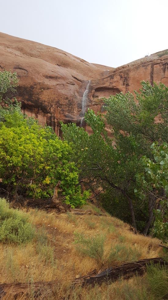
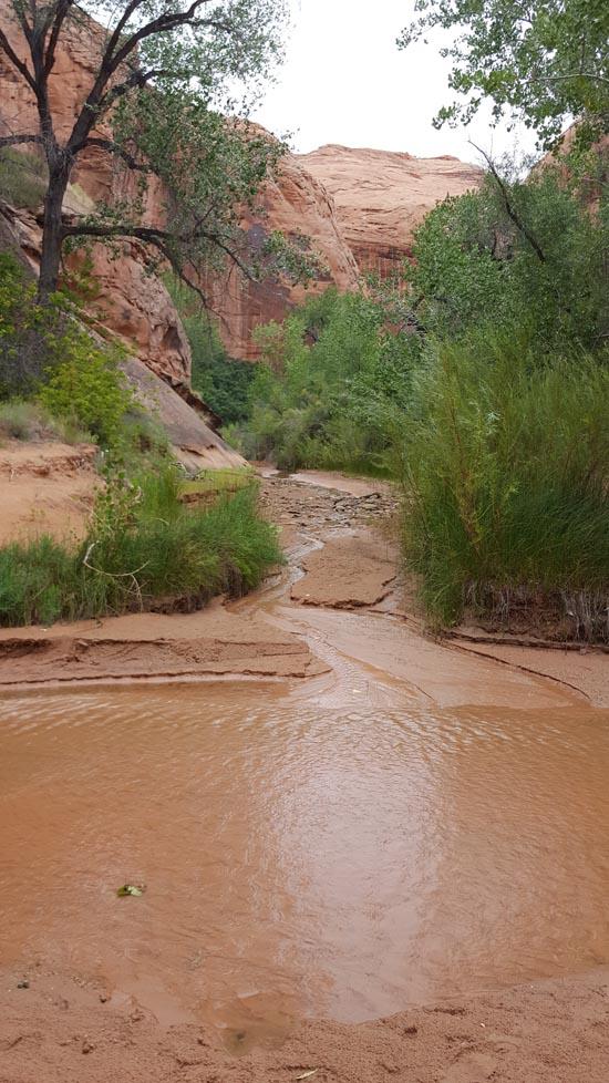
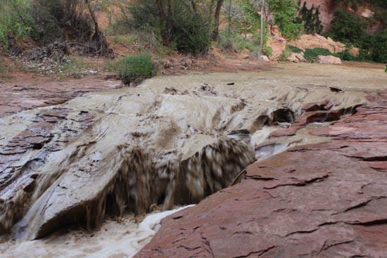
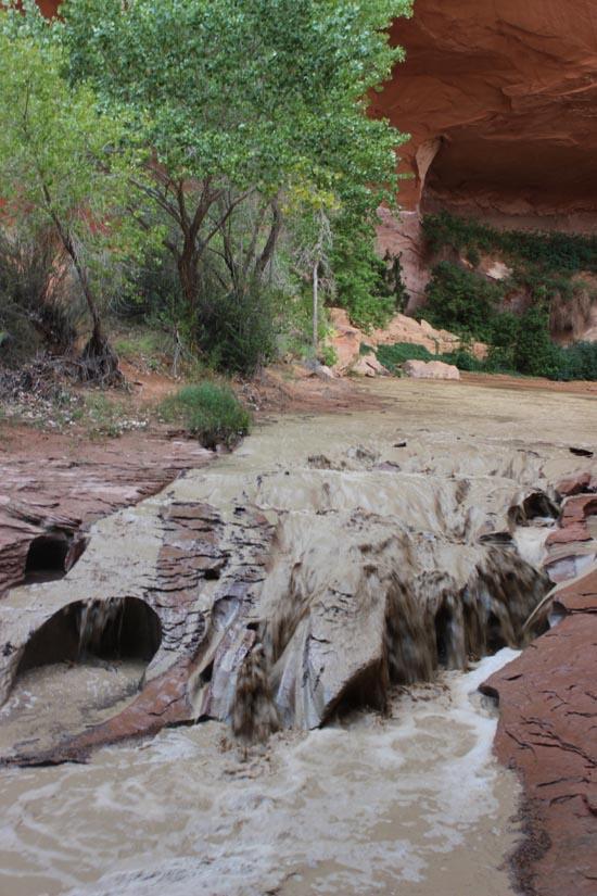
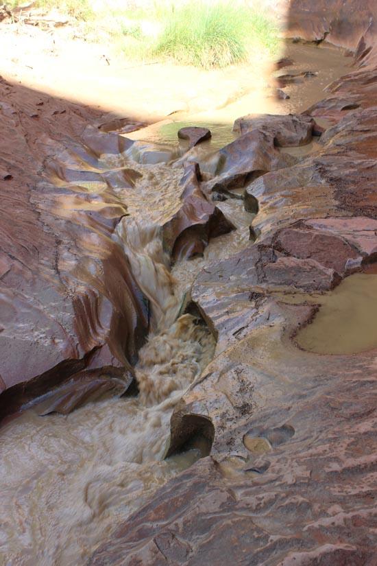
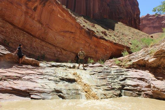
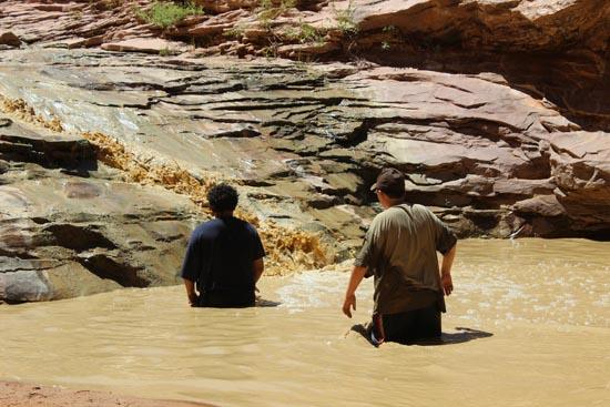
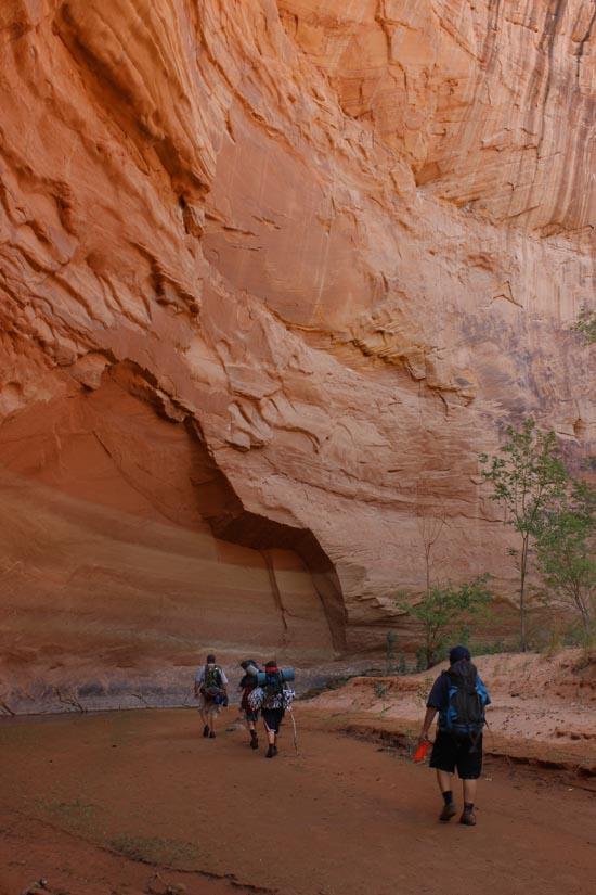
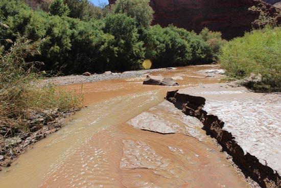
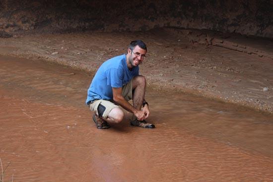
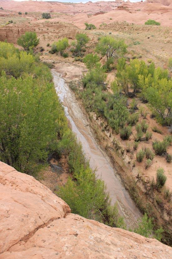
We headed down canyon to continue our hike. We saw lots of waterfalls and I even checked one out with my head but decided it was still too cold to get all the way wet.
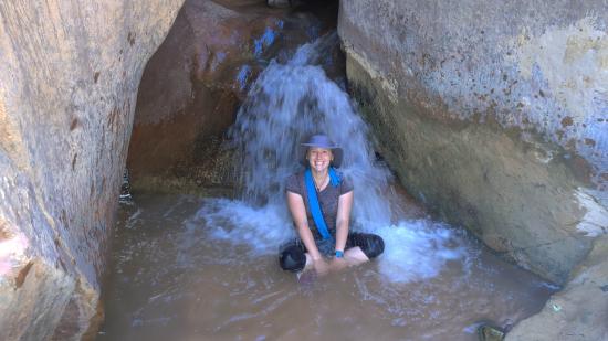
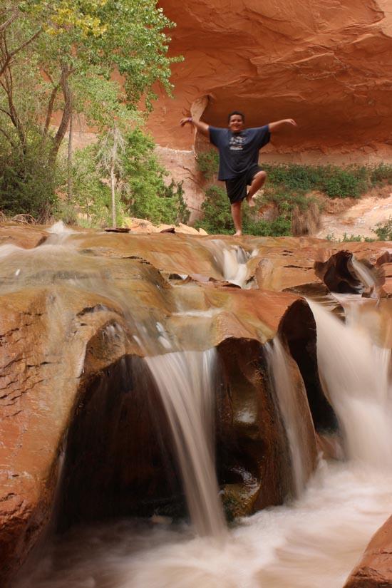
By the time it started warming up, it was a ton of fun playing in the water.
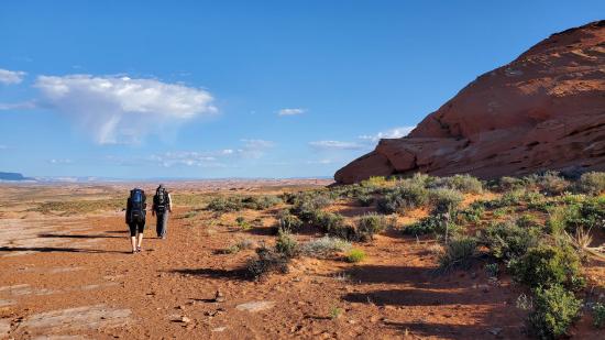
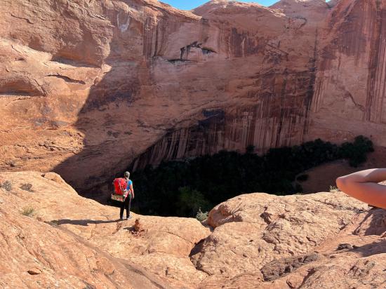
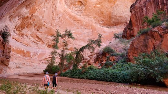
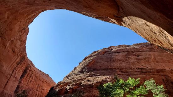
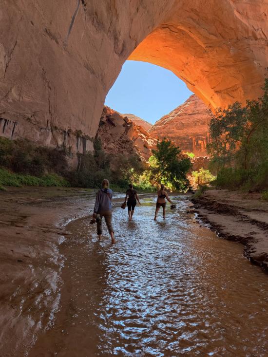
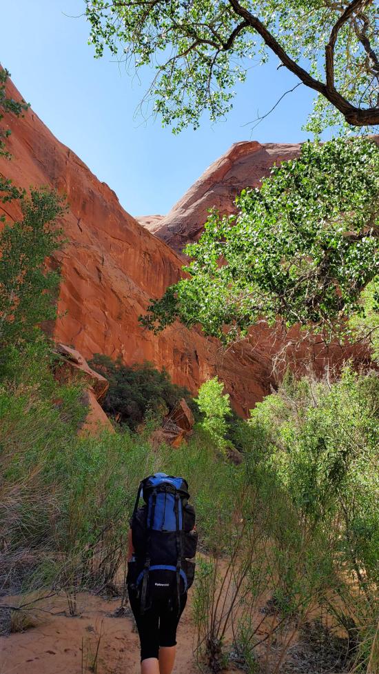
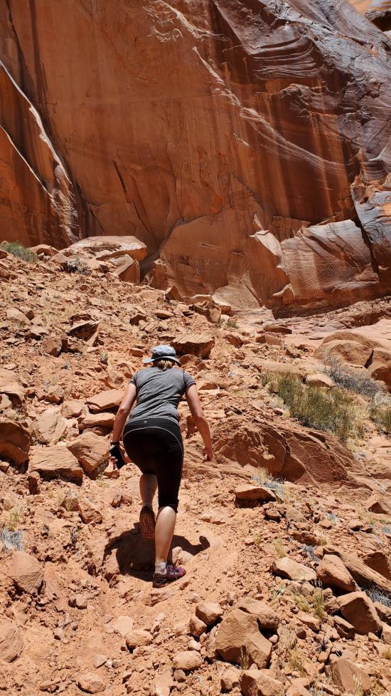
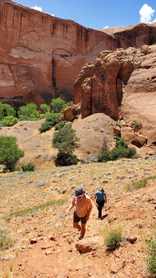
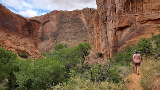
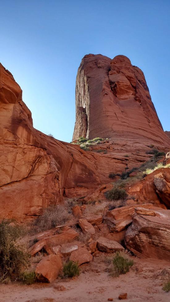
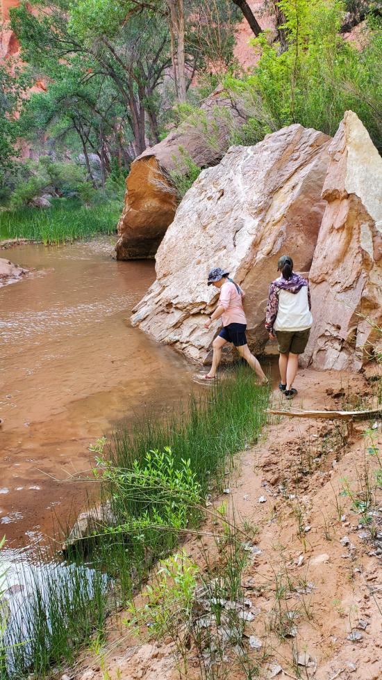
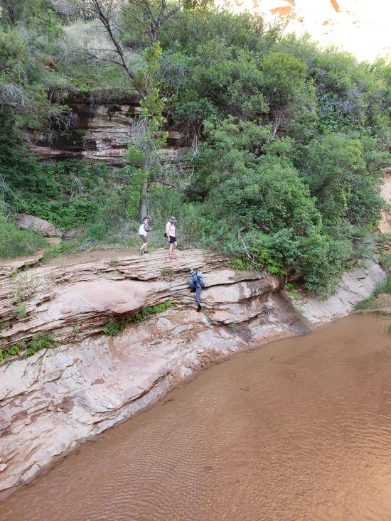
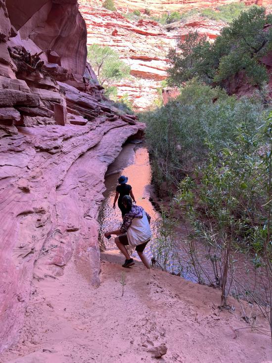
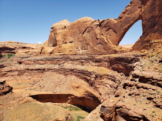
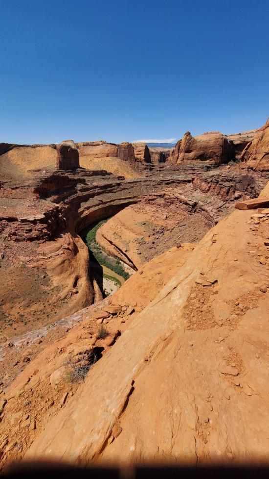
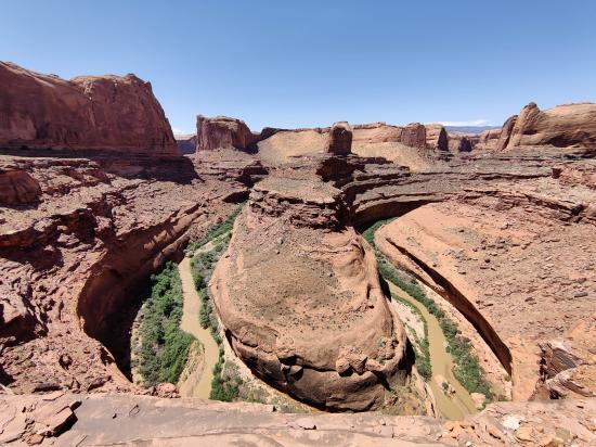
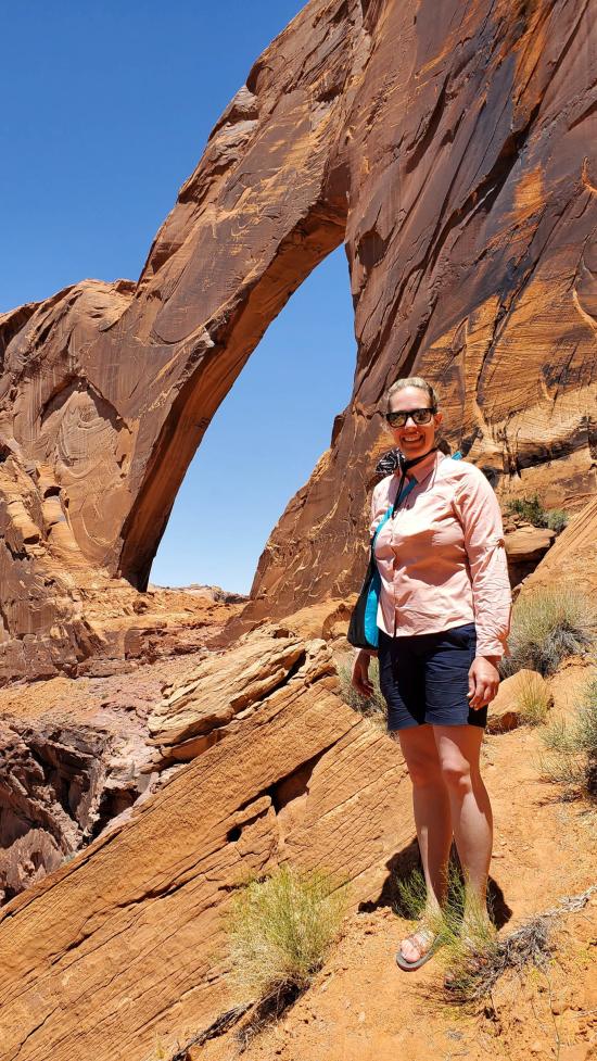
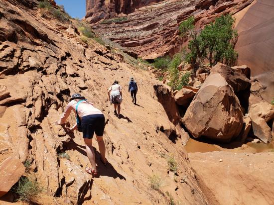
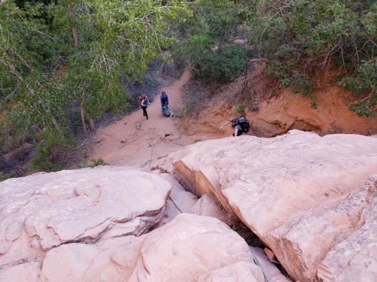
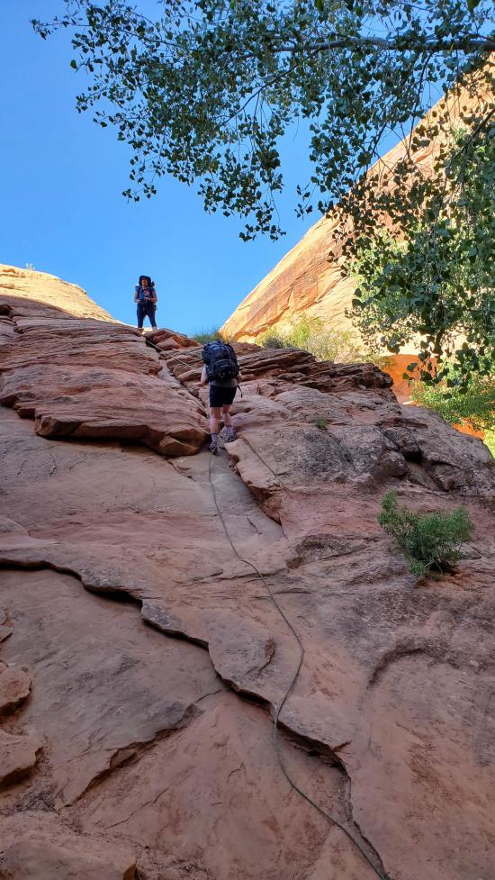
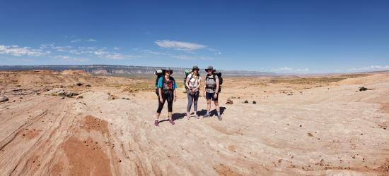
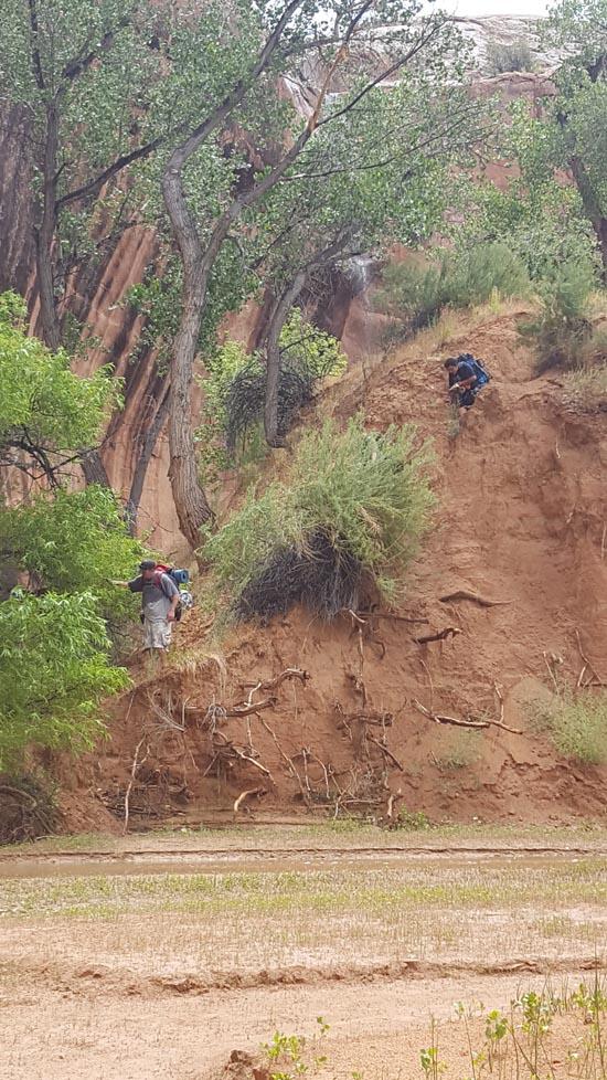
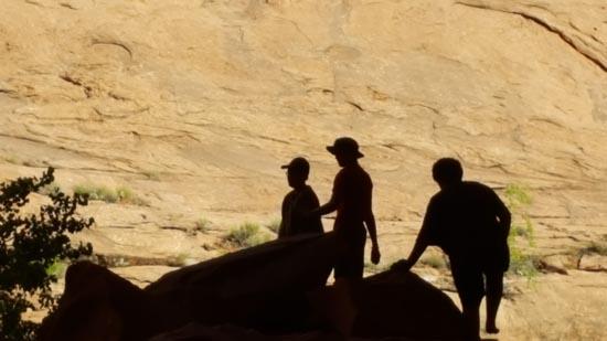
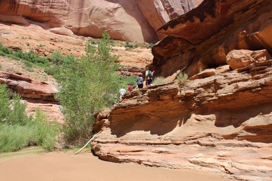
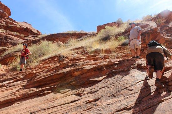
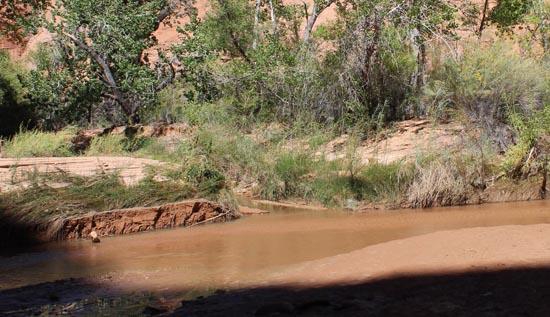
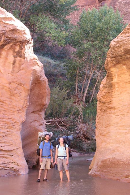
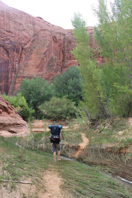
We hiked out the bottom of Coyote Gulch and then headed up the Escalante River to check out Stephen's Arch. Marci had found a description of how to get to the arch. Ondy and Becca were a little nervous since it looks like you are on a sheer cliff for the hike when looking from the river. We started up with the understanding that Ondy might turn back if it looked too sketchy where we were up on the cliff band. It definitely looked worse from below than it actually was.
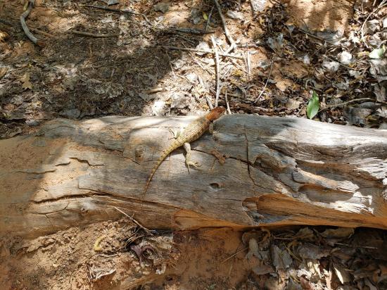
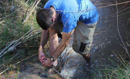
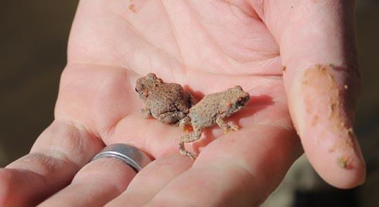
We enjoyed our lunch in the arch before reversing our hike to get back to camp. I kept up a conversation with Ondy to keep her distracted from the fact we were very high up. We did see a really cool lizard when we were hiking back. It even did a little dance for us.
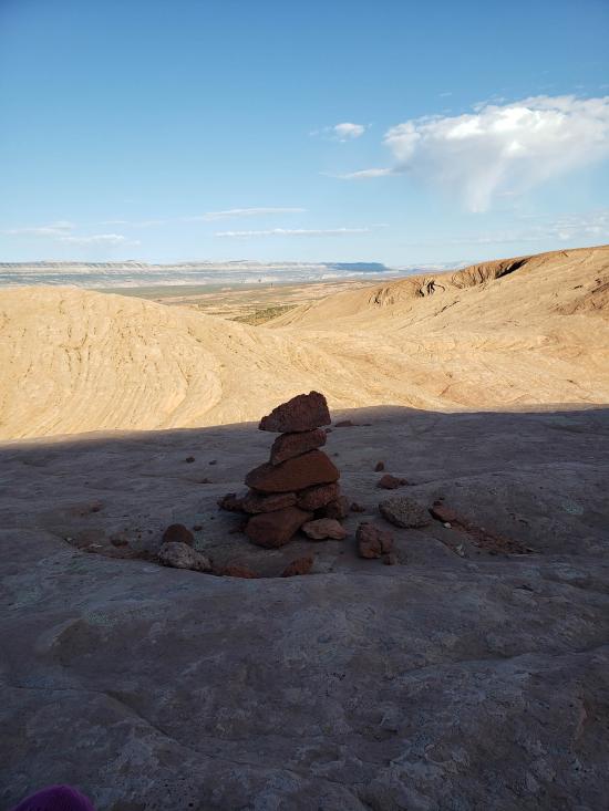
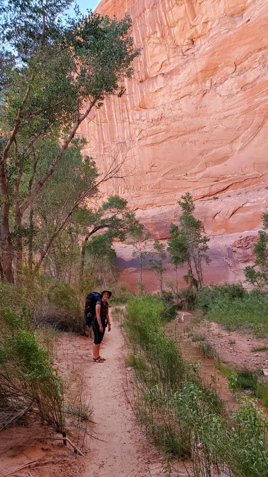
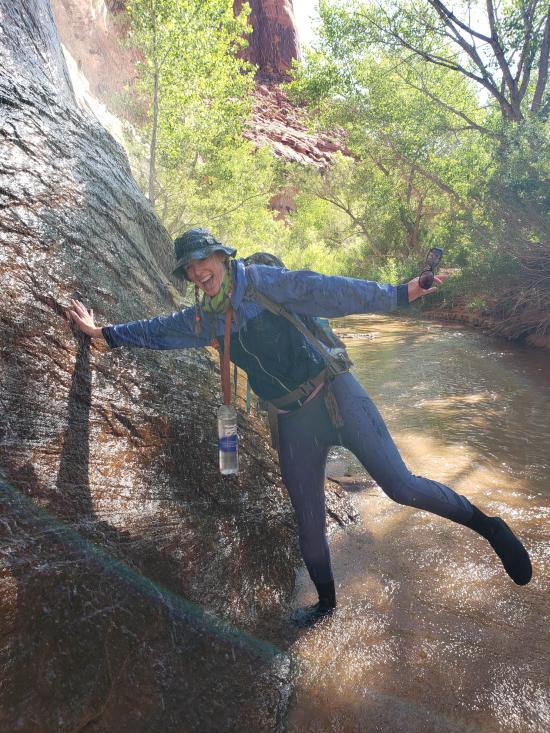
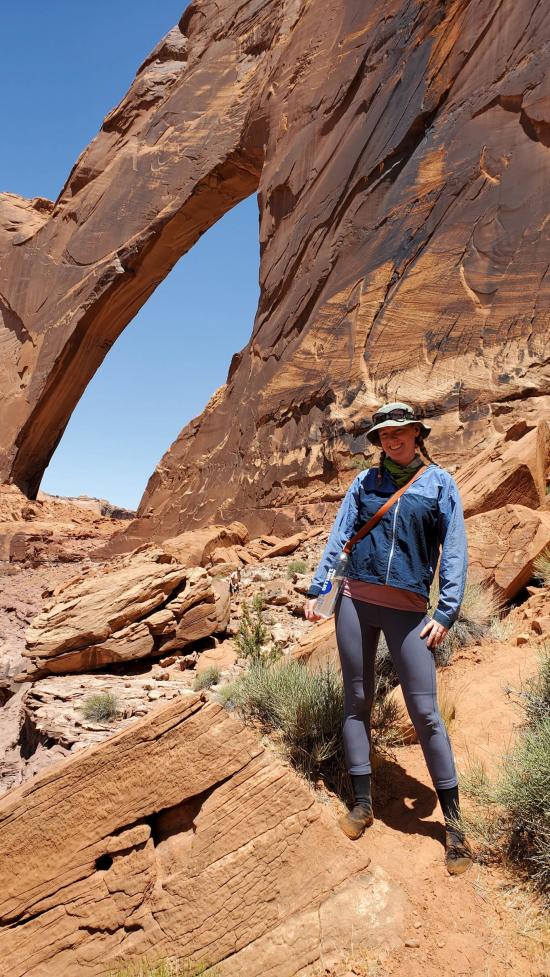
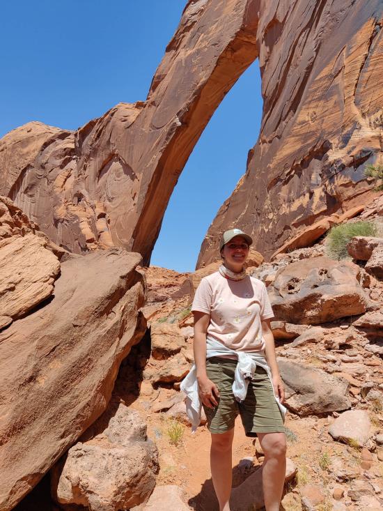
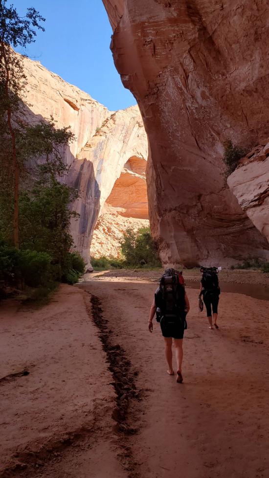
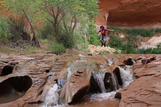
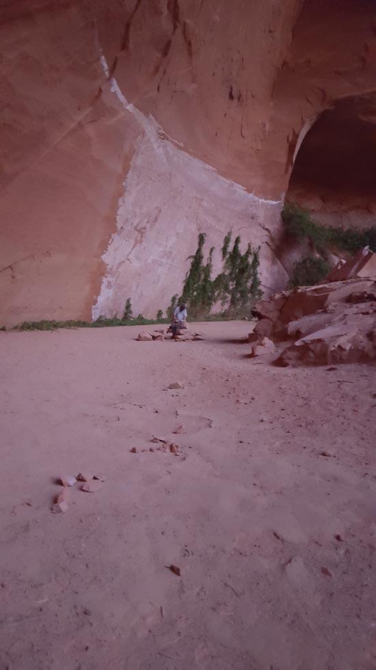
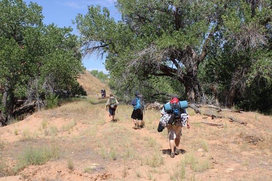
We hiked back up canyon and I made a goal with myself to stand under every waterfall on the way back. Partially to just enjoy the cooling effect of the water and partially just to be goofy. We hiked back to camp, packed up, and put on a good pace so we could make it back to Jacob Hamblin for the evening. We still took a few pictures on the way back. The natural bridge was pretty with the light coming though it in the evening.
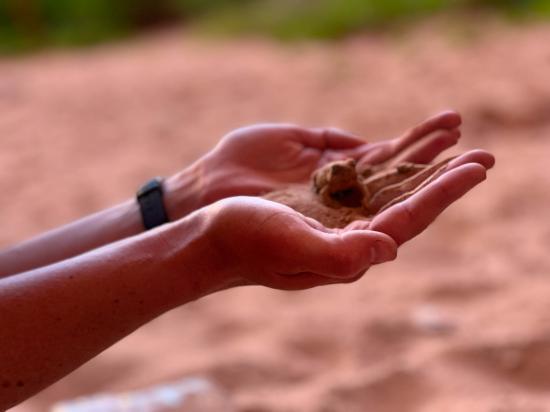
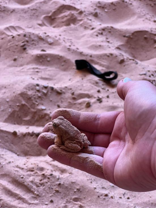
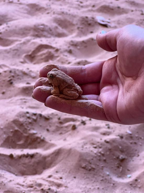
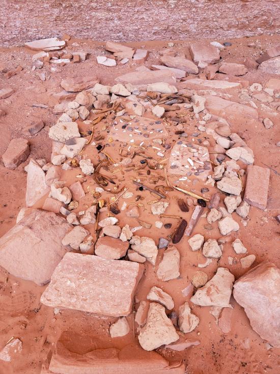
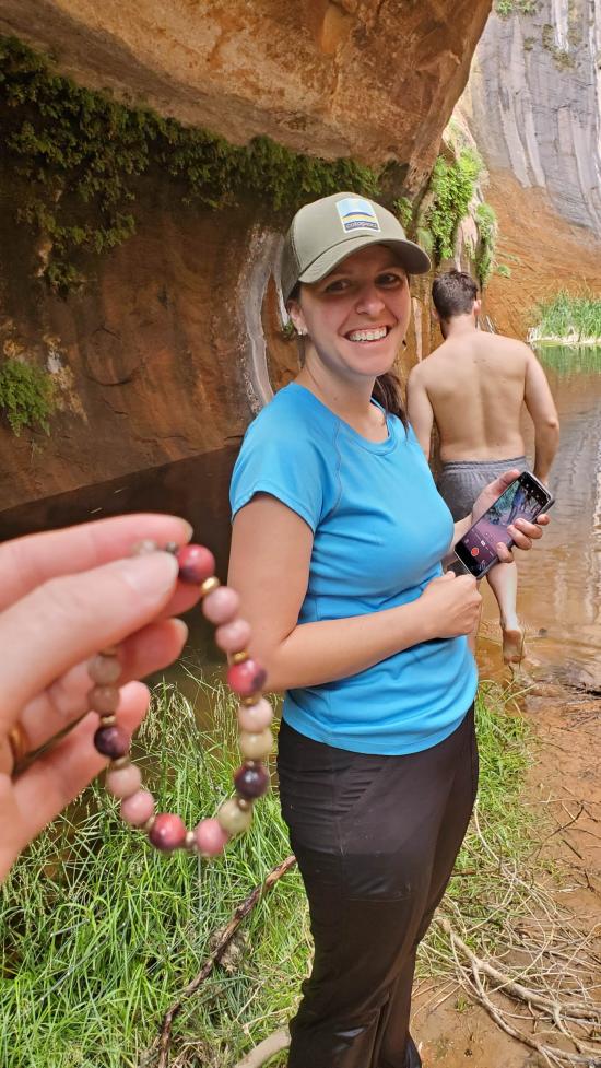
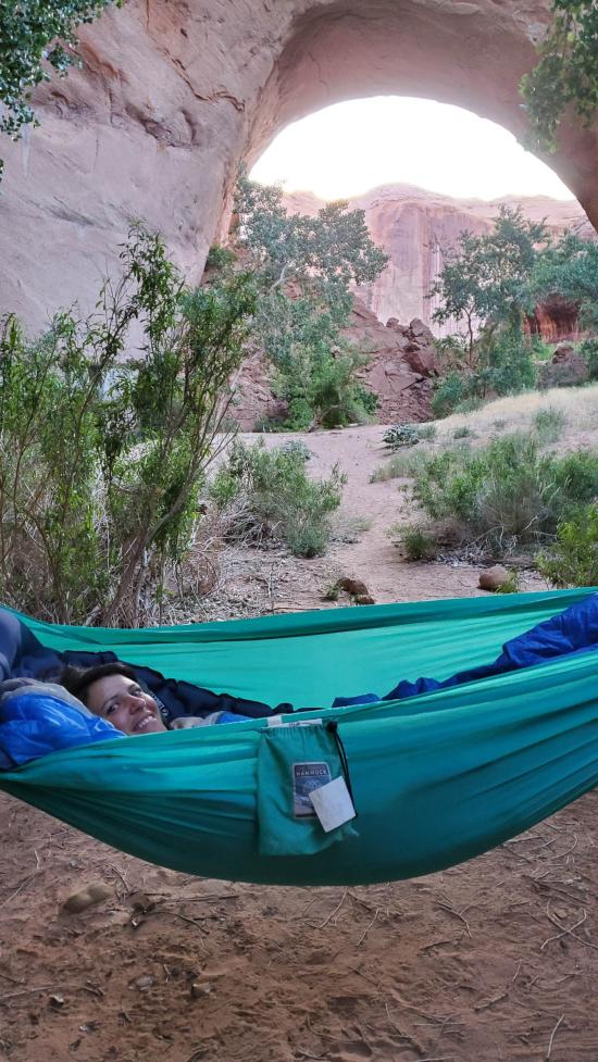
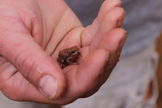
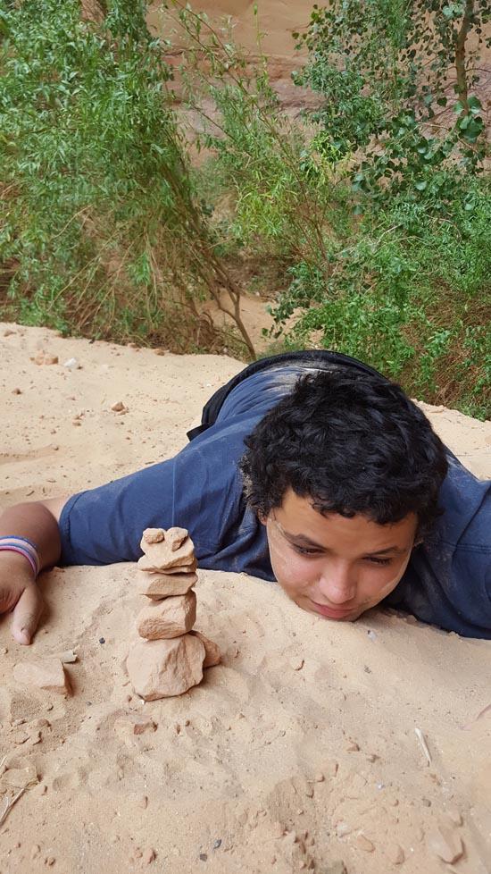
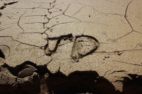
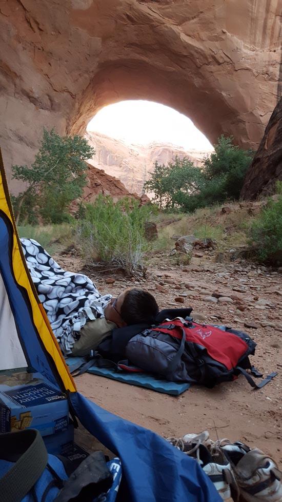
We found a great camping spot directly upstream of the arch that was perfect for setting up our hammocks. After setting up camp, we checked out the sand art previous campers had left. They were pretty impressive. We also chatted with a guy who was on a solo trip until he met up with his wife in California. He was the only other party camping close to the arch that evening. Ondy and I both slept in our hammocks while Becca and Marci shared the tent. We got to enjoy listening to the frogs all night.
Monday
We took the morning slow and didn't really head out of the canyon until 9.
We got to the car around 11 and then decided to head just down the road to check out dance hall rock.
We made one last stop at Mossy Cave in Bryce Canyon before driving home.


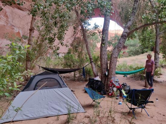

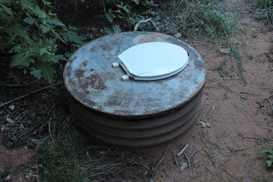
 Jacob Hamblin Trailhead Primitive Camping
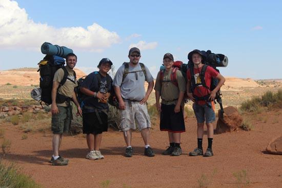
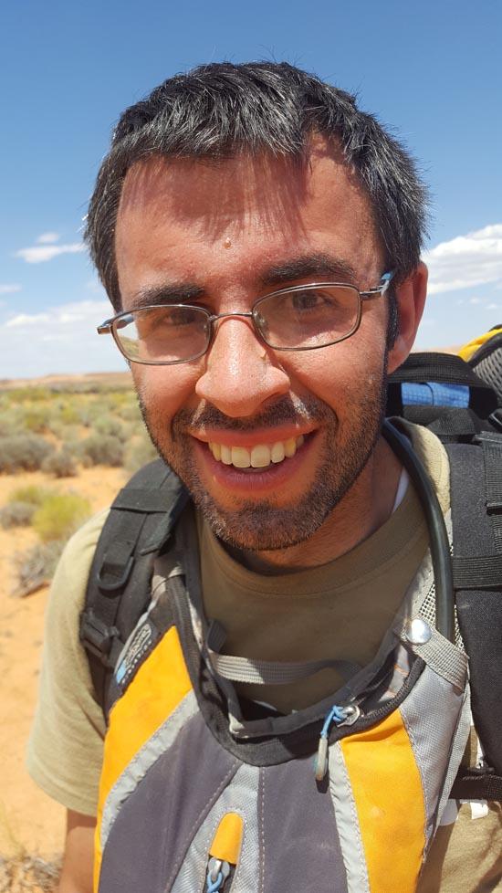
By Jeremy Dye
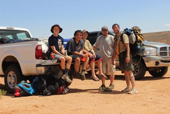
Jeremy Dye, Abe Mitchell, Riley Mitchell, Logan Castro, Mason Solt,
11:00 Depart Red Well Trailhead
4:45 Jacob Hamblin Arch
7:00 Swiss Cheese Falls and Camp
9:30 Depart Camp
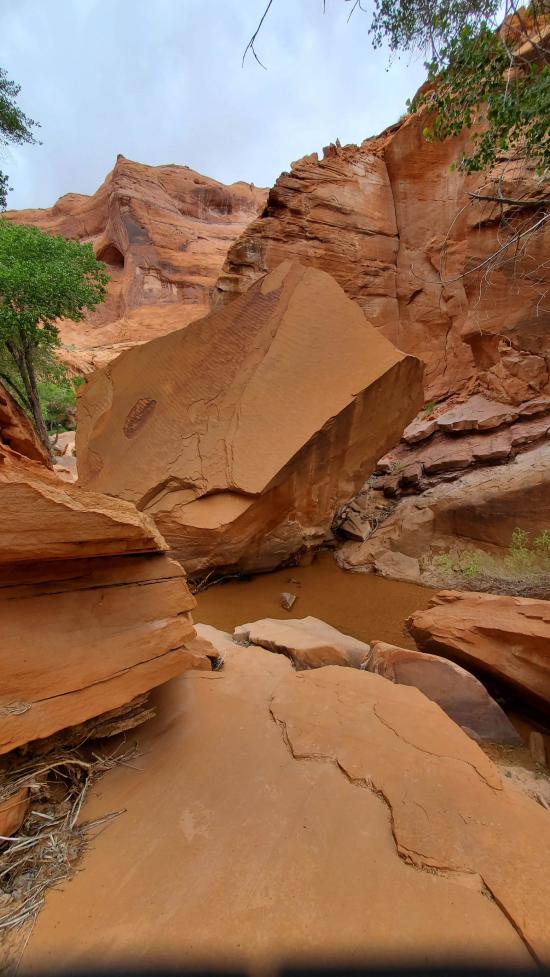
10:00 Coyote Natural Bridge
11:00 Indian Ruins
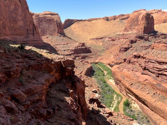
3:00 Escalante River Confluence
3:15 Steven's Arch Vantage Point
7:00 Coyote Natural Bridge
9:00 Jacob Hamblin Arch and Camp
8:00 Depart Camp
9:00 Confluence
2:00 Red Well Trailhead
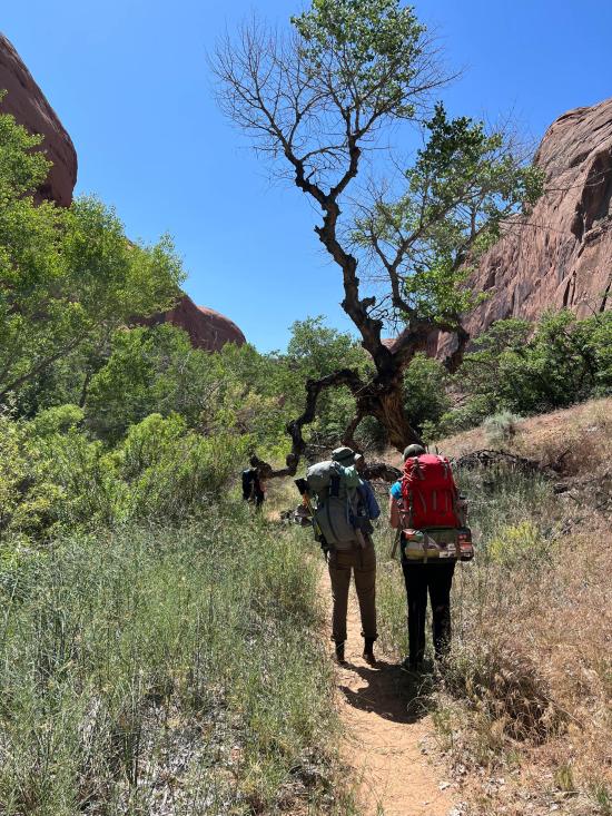
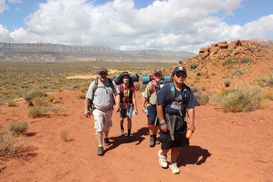
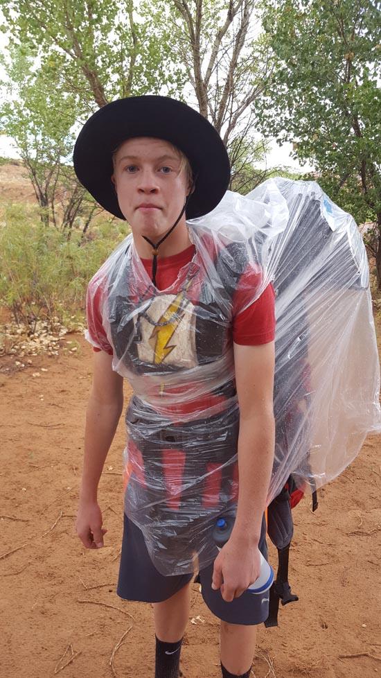
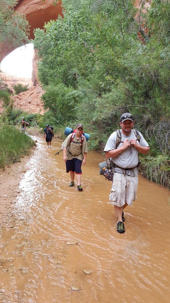
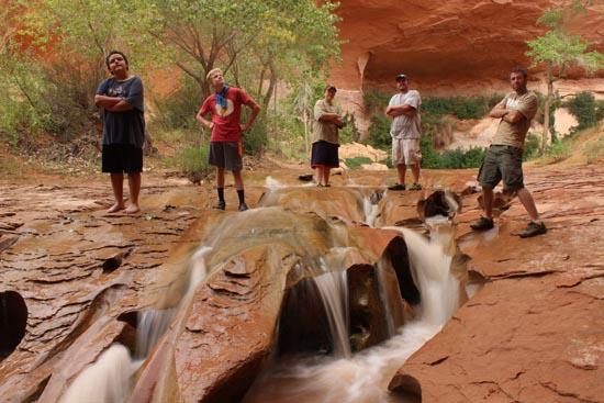
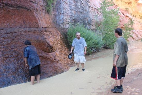
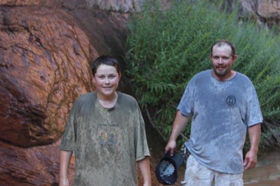
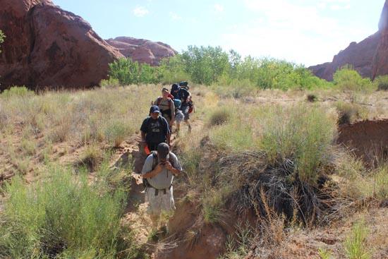
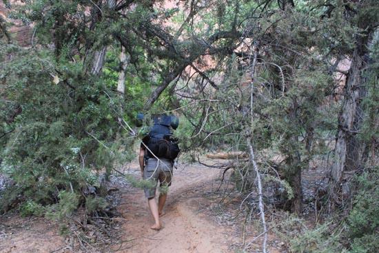
We hiked Coyote Gulch from the Red Well Trailhead to the Escalante River Confluence and back in 3 days as part of our 2016 summer camp for Troop 601. Shortly after we started our hike, it rained really hard for about half an hour. There were all sorts of waterfalls coming down the slick rock. We considered hunkering down to wait out the storm but decided to just keep walking. The hike was a lot longer than the boys were expecting, and they had a pretty tough time of it, but they all made it through. We gave some fun nick-names to everyone:
Jeremy - Mosquite Slayer (for killing 4 mosquitoes in one swat)
Abe -
Riley - Wrong-Way Riley (because we caught him walking the wrong way when he had to go to the bathroom)
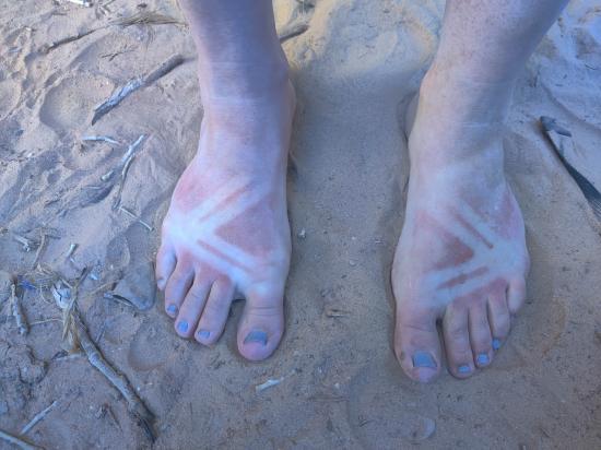
Logan - 21 toes (because he walked barefoot a lot of the way)
Mason - Chasin' Mason (because he walked the fastest)


By Jeremy Dye
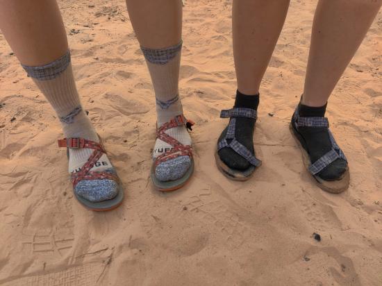
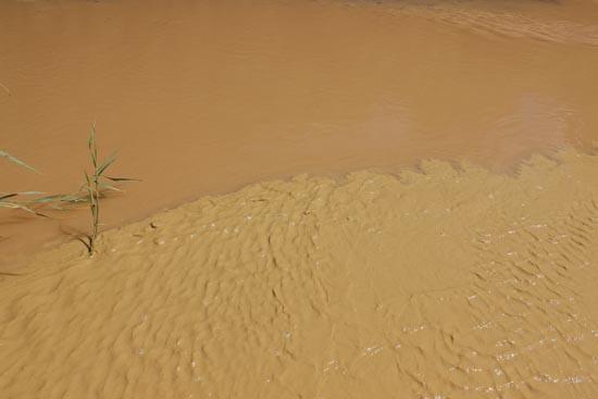
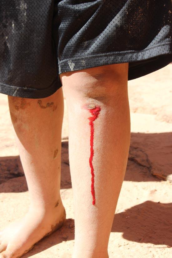
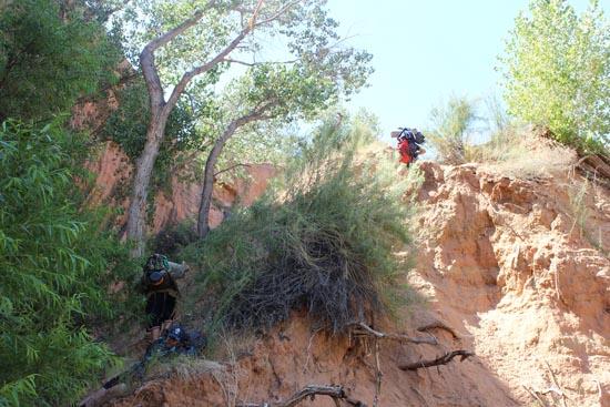
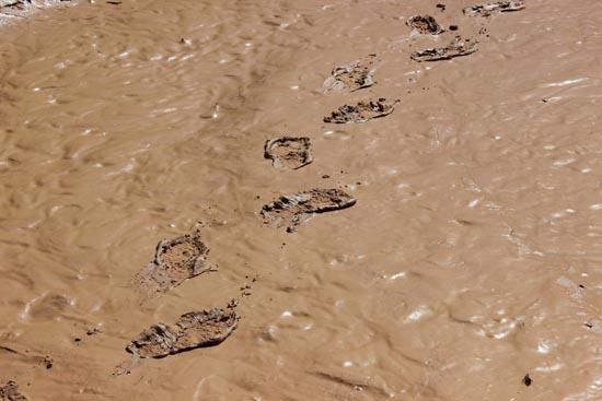
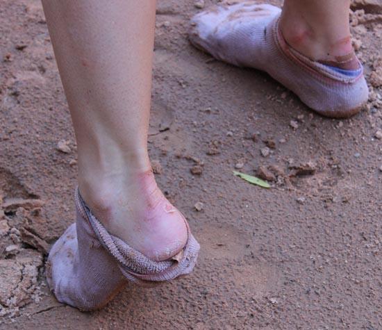
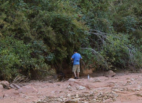
Tara and I hiked Coyote Gulch over 3 days from the Red Well Trailhead down to the confluence and back. Tara's shoes where bothering her, and she ended up with huge blisters on the backs of her heels, even while using moleskin. She ended up walking about 5 miles barefoot. While hiking up to look at the first waterfall from the bottom of the falls, I stepped on what looked like solid ground, only to find out it was quicksand. I sank up to my waist almost immediately and it took a lot of effort to get out. On the last night in the canyon, there was a huge lightning storm off in the distance, and Tara and I stuck out heads out of our tent and watched the lightning for a long time while attempting to fall asleep.


Camping at Halls Creek and Millers Creek Confluence
Escalante River Primitive Camp 1
Escalante River Primitive Camp 2
Fence Canyon Primitive Camping
Iceberg Canyon Primitive Camping
Navajo Canyon Primitive Camping
Stud Horse Point Primitive Camping
Baboon Laughs Canyon (aka Laughing Baboon Canyon)
Poe Canyon (aka Smiling Cricket Canyon)
Early Weed Bench to Escalante River
Escalante River to Early Weed Bench
Lee's Ferry Historic District River Trail
Navajo Bridge Interpretive Center
Big Hollow Wash Primitive Camping
Chimney Rock Primitive Camping
Early Weed Bench Primitive Camping
Escalante River Primitive Camp 1
Escalante River Primitive Camp 2
Fence Canyon Primitive Camping
Jacob Hamblin Trailhead Primitive Camping
Micro Death Hollow Primitive Camping
Zebra and Tunnel Trailhead Camping
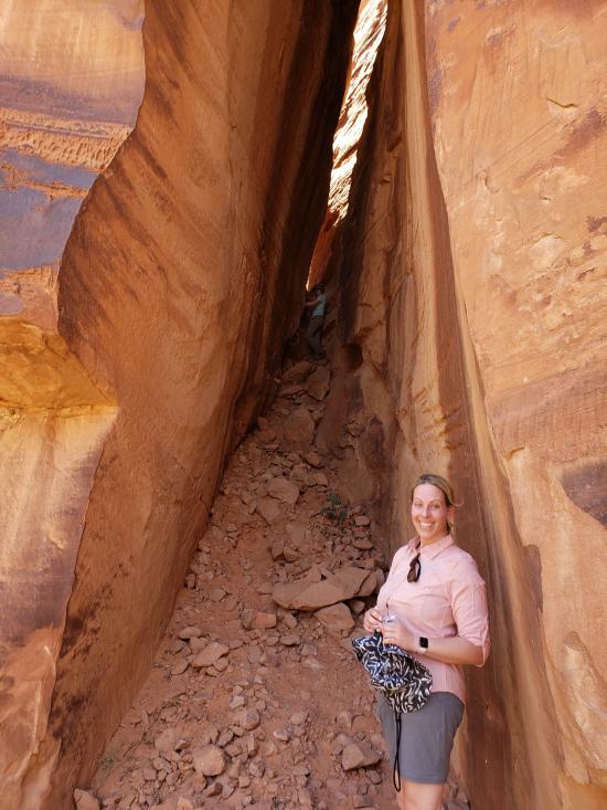
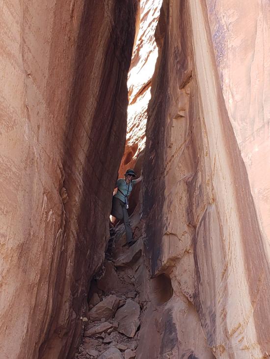
Dry Fork Narrows of Coyote Gulch
Early Weed Bench to Escalante River
Escalante River to Early Weed Bench
Escalante Interagency Visitor Center
Big Hollow Wash Primitive Camping
Chimney Rock Primitive Camping
Early Weed Bench Primitive Camping
Jacob Hamblin Trailhead Primitive Camping
Micro Death Hollow Primitive Camping
Skutumpah Road Primitive Camping
Zebra and Tunnel Trailhead Camping
Dry Fork Narrows of Coyote Gulch
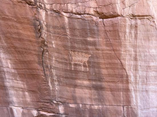
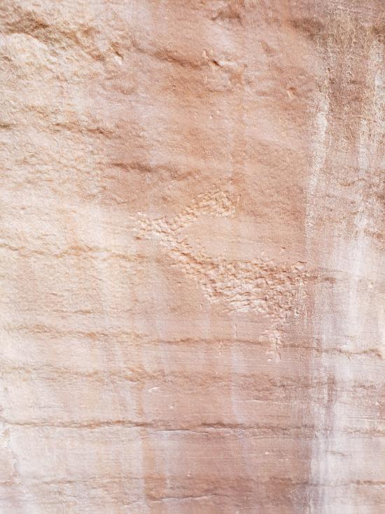
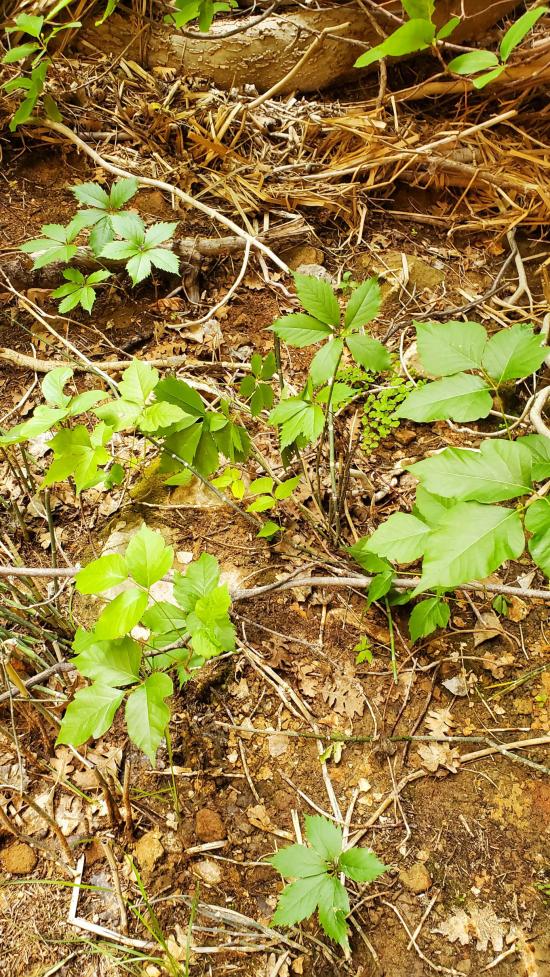
 Petroglyphs and Pictographs
 Structures, Ruins, Dwellings
 Arches
 Waterfalls

