 Canyoneering | Bluejohn Canyon, East Fork


Hype:
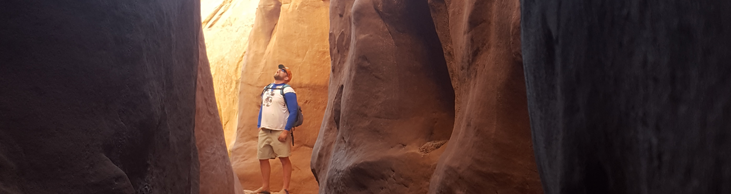
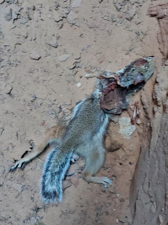
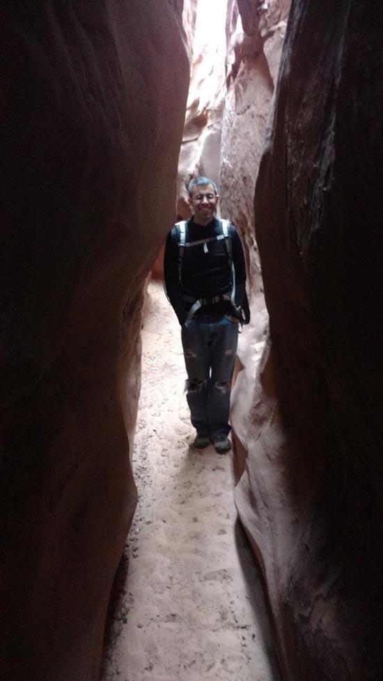
The East Fork of Bluejohn Canyon is very fun and scenic. There are some fun potholes and downclimbs. However, there is a ton of wash hiking required for the exit, making it not as much fun as other similar canyons.
Canyon Rating: 3B 
Time: 3-5 hours from car to junction with Main Fork
Length: 5.6 miles one way from car to junction with Main Fork
Longest Rappel: 20 ft
Gear: Standard canyoneering gear.
Fees: None
Recommended Ages:
 | 0-3 |
 | 4-11 |
 | 12-19 |
 | 20-49 |
 | 50-69 |
 | 70+ |
Recommended Months to Visit:
| Jan |
| Feb |
| Mar |
| Apr |
| May |
| Jun |
| Jul |
| Aug |
| Sep |
| Oct |
| Nov |
| Dec |
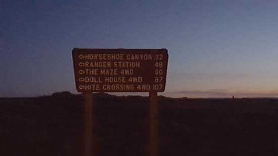
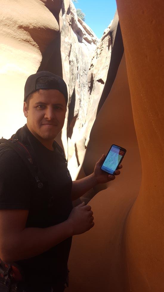
Navigate to 38.341679, -110.292125.
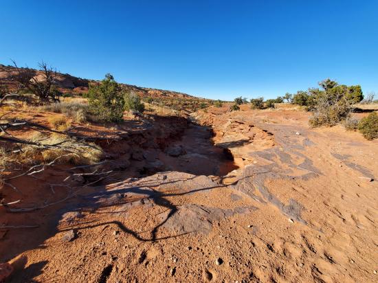
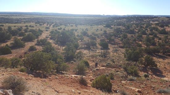
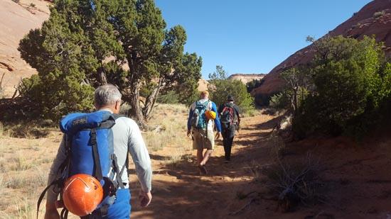
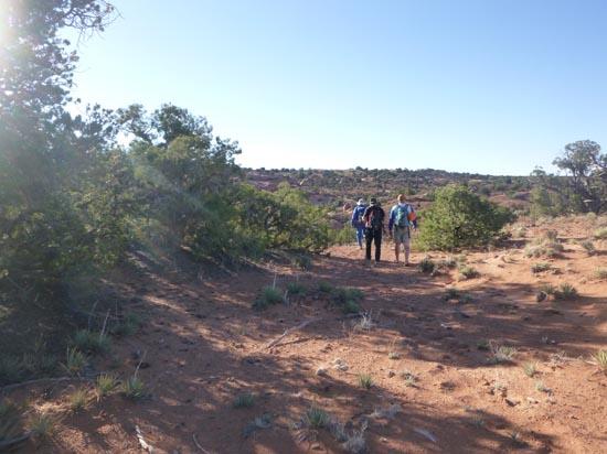
Park at the Hans Flat Road turnoff. There is a metal shack with "Motel 8" painted on the side. From the parking area, head due East until you intersect the East Fork drainage. From there, just follow the drainage down.
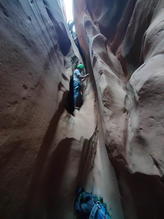
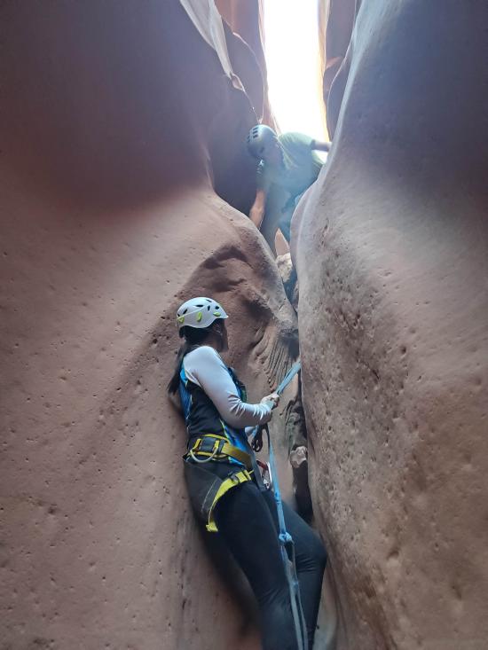
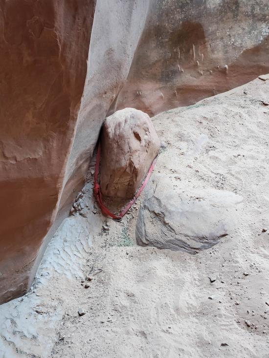
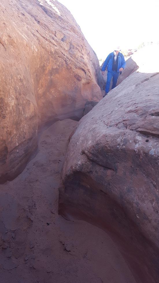
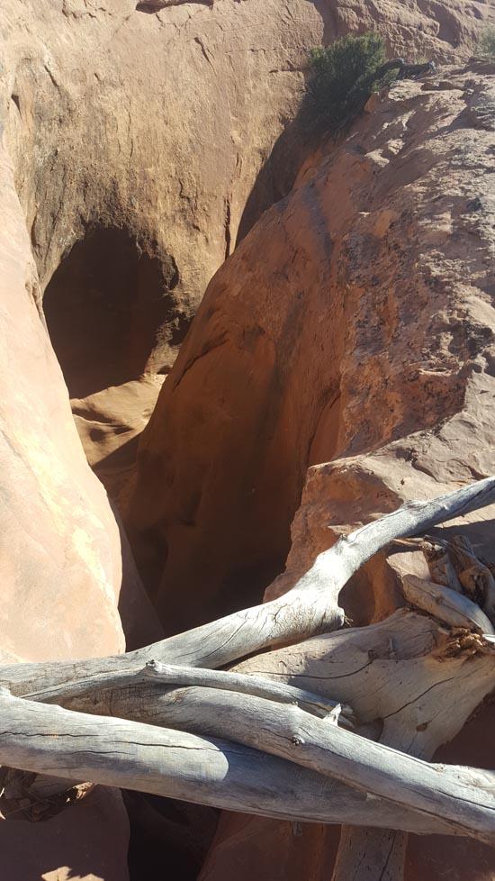
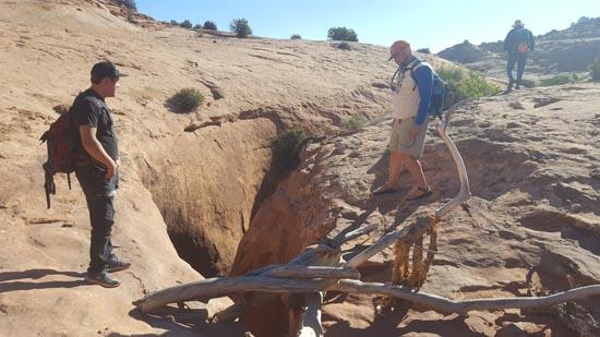
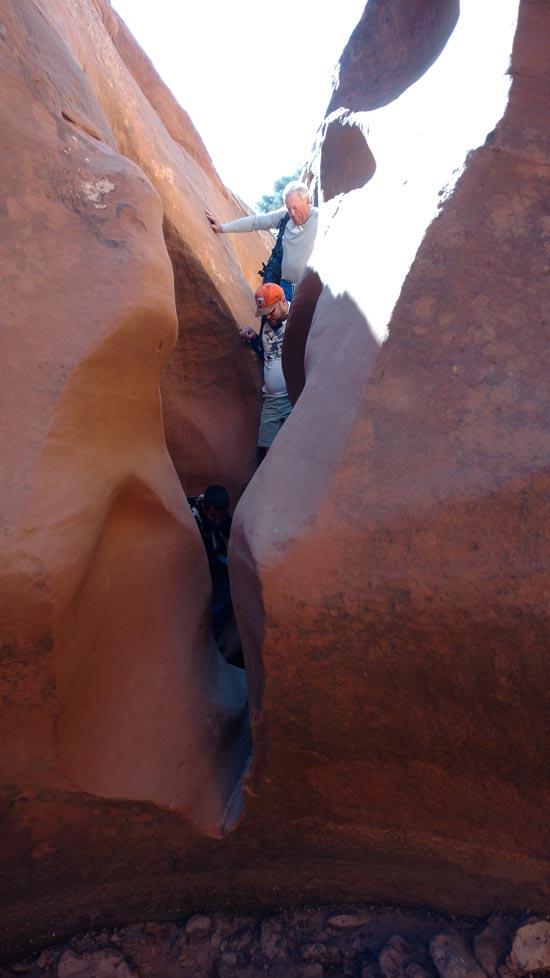
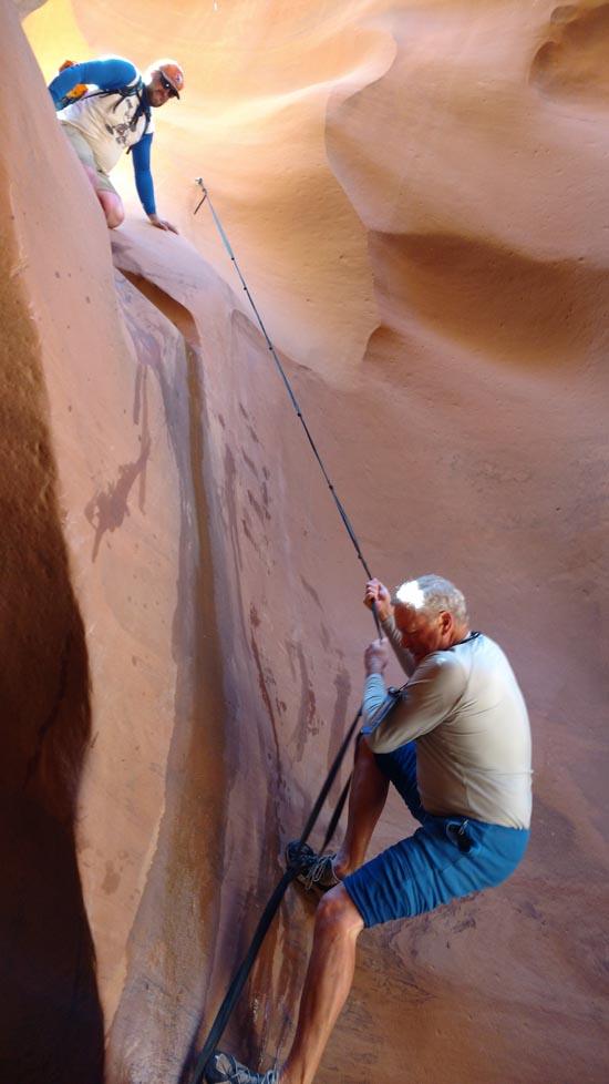
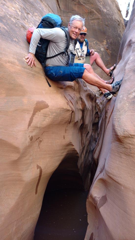
Rappel #1: 20 feet off a pile of logs. Can also be downclimbed or bypassed on the right.
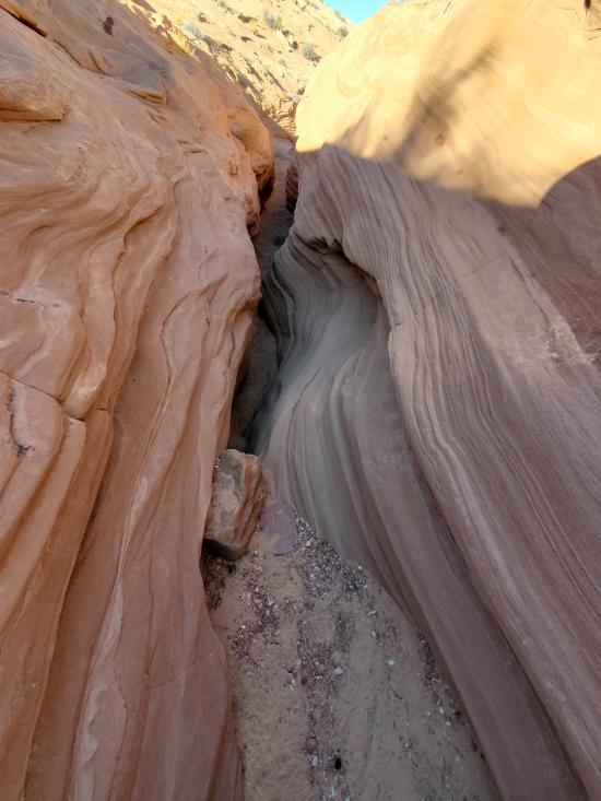
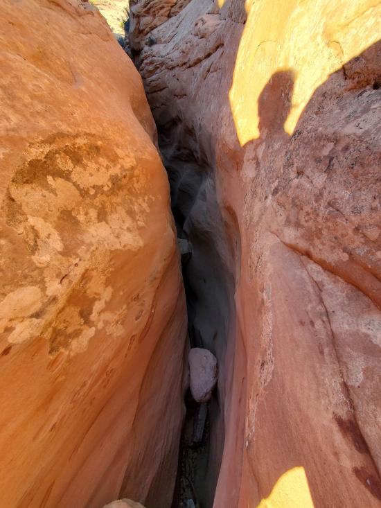
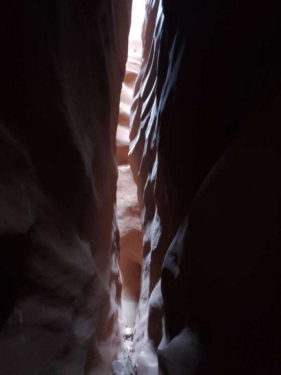
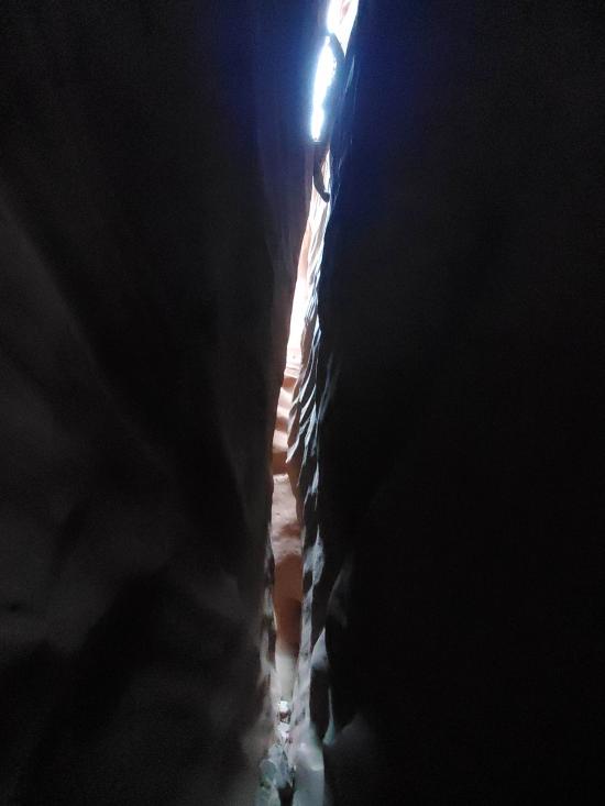
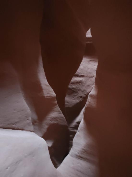
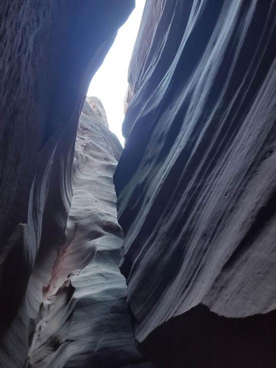
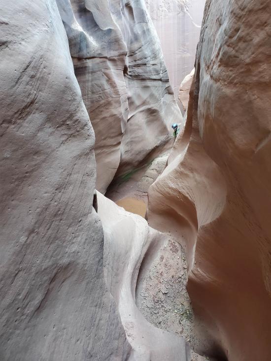
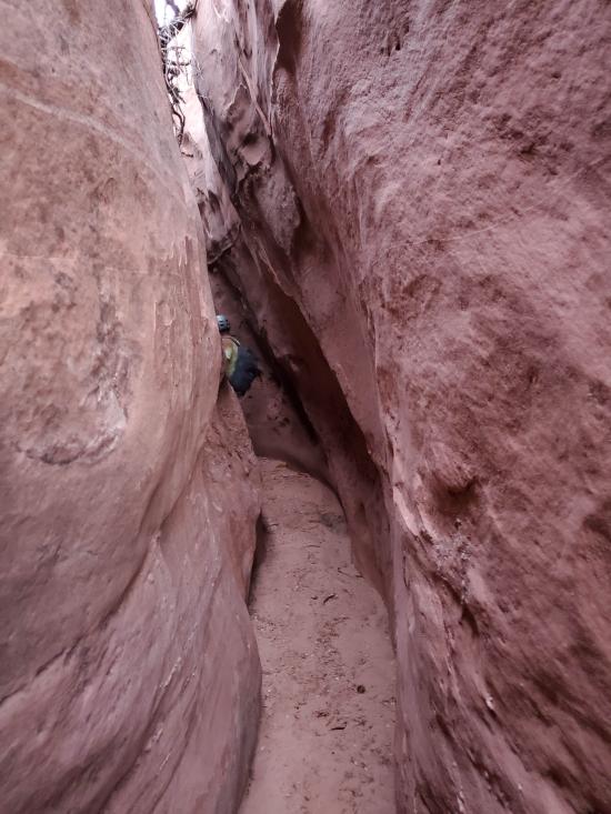
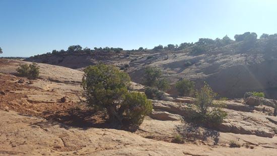
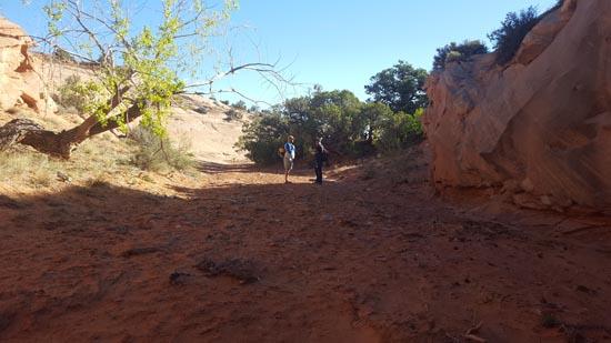
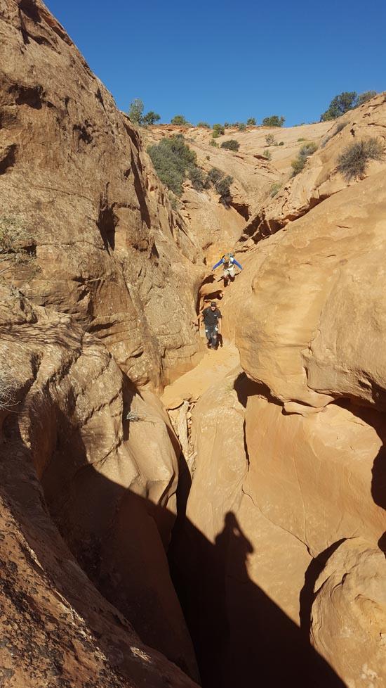
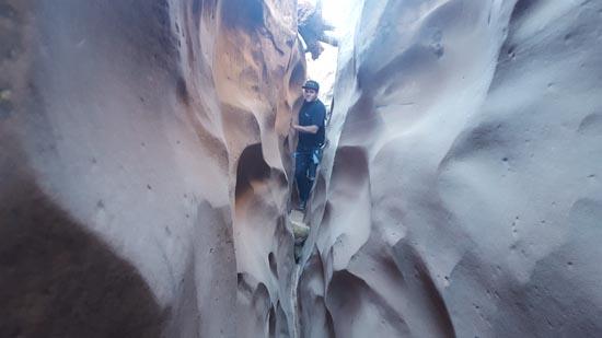
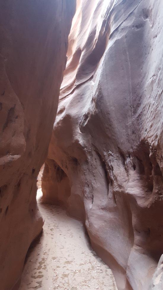
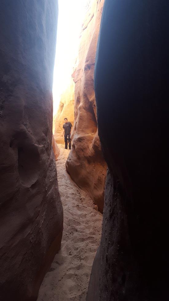
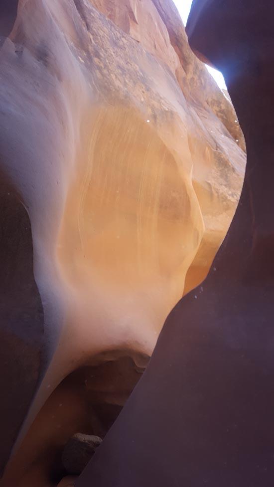
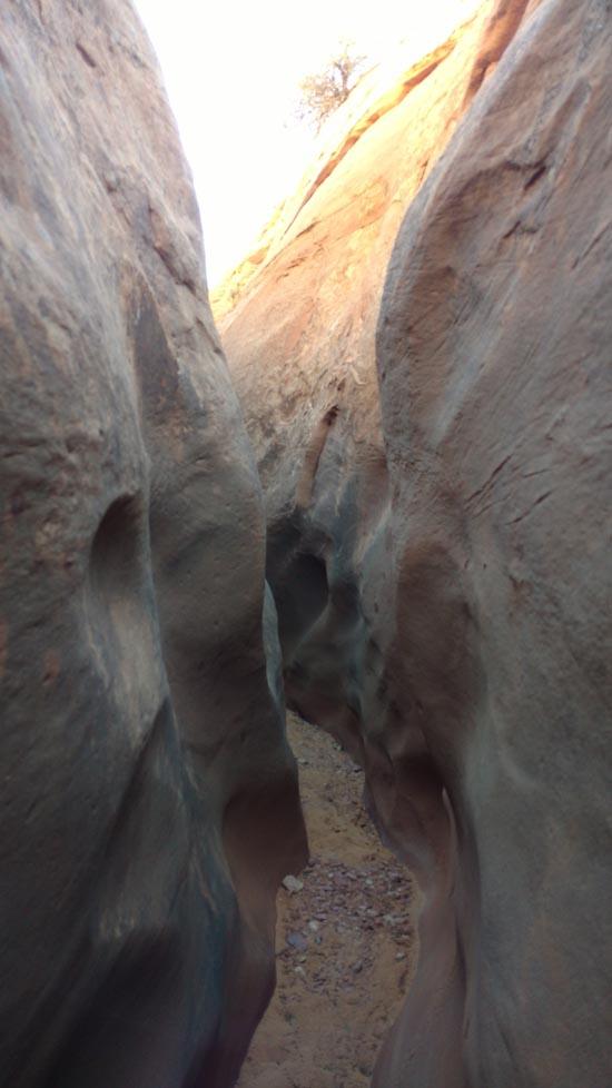
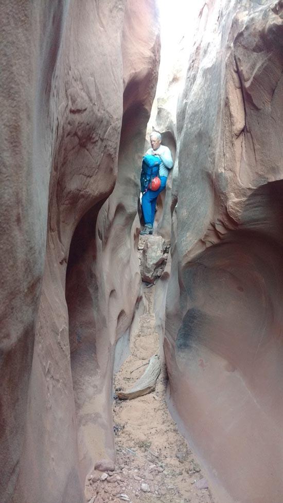
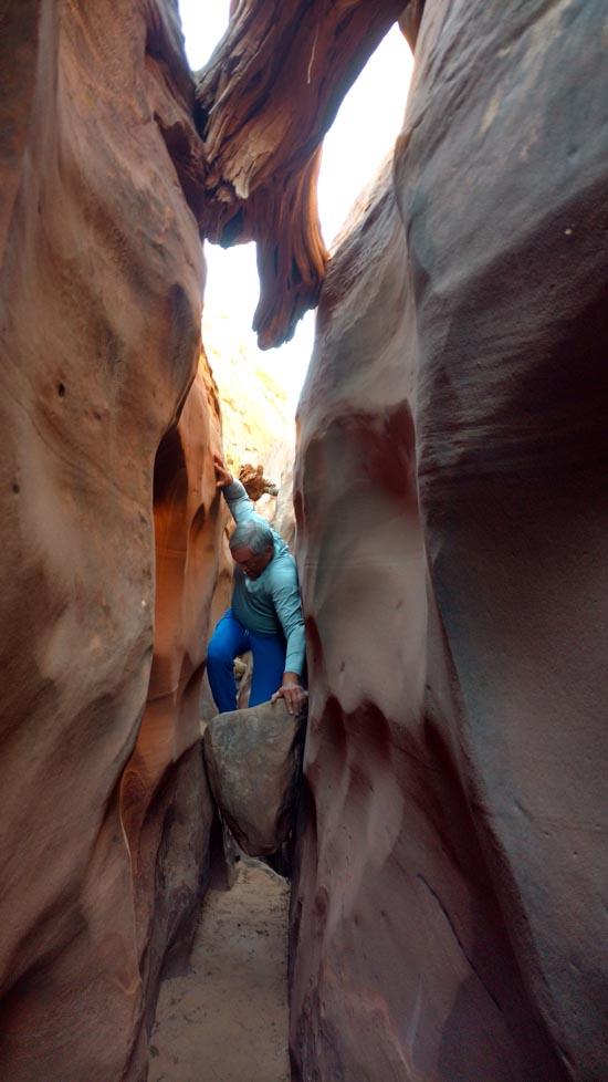
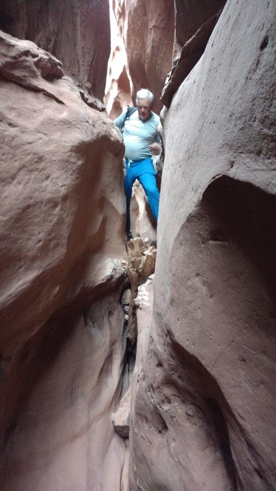
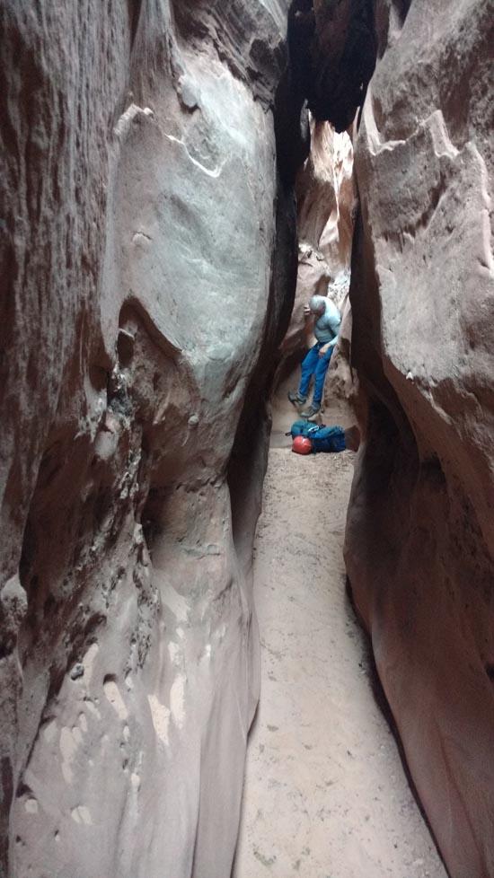
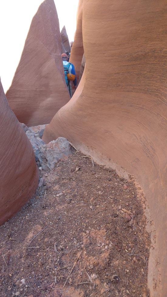
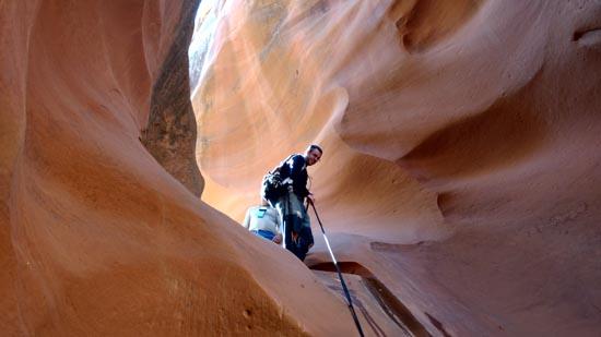
After some narrows, the canyon opens up into a wash.
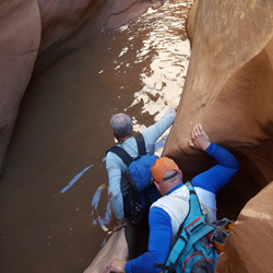
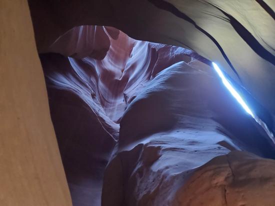
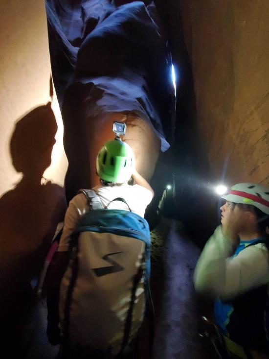
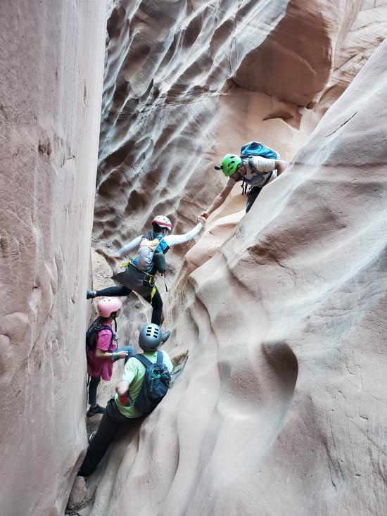
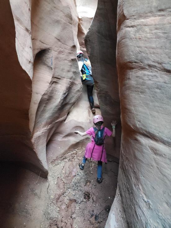
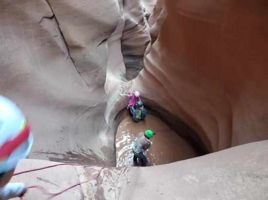
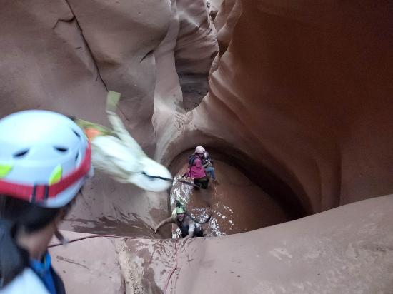
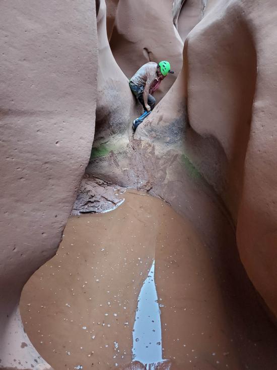
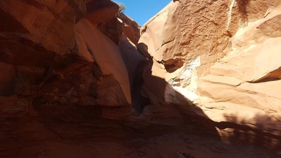
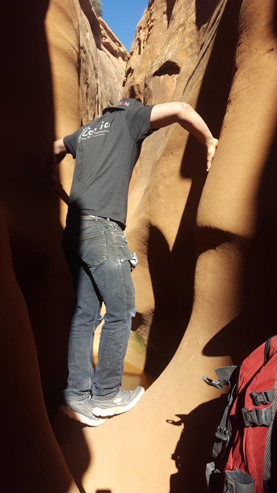
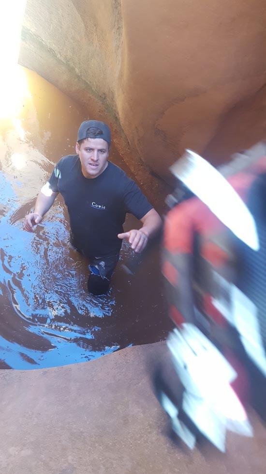
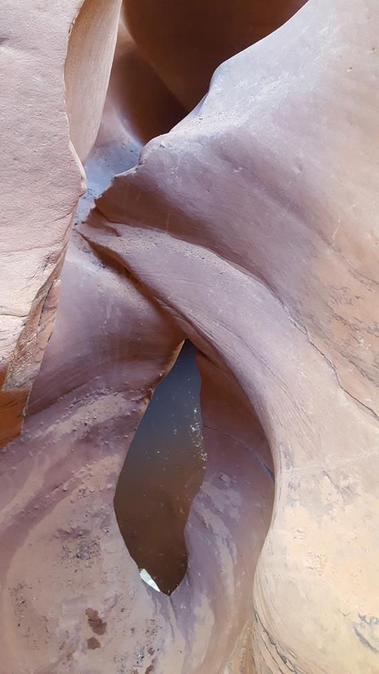
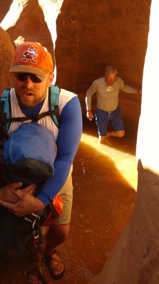
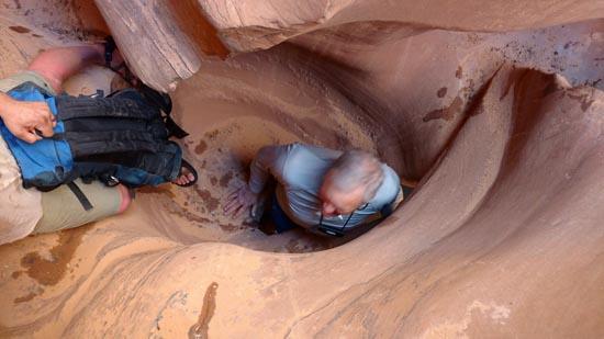
In the second narrows, there can be several potholes with standing water. A couple of them can be stemmed over, but not all.
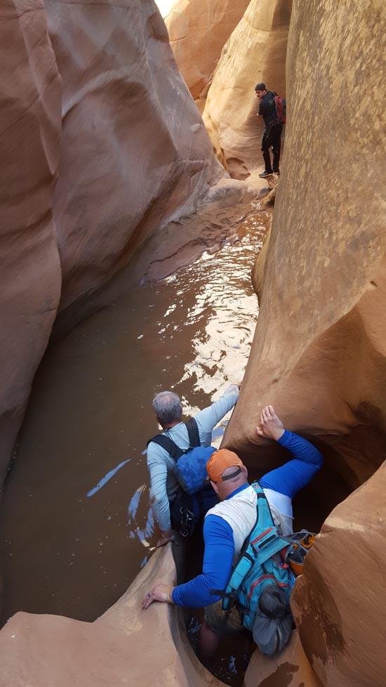
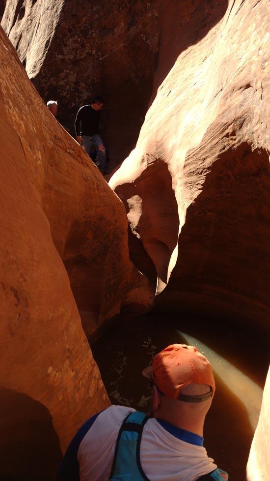
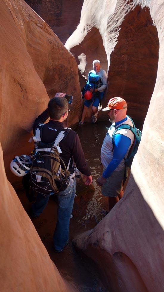
Rappel #2: 20 feet off a bolted anchor down a slick face into a shallow pool of water. We encountered a fixed handline here.
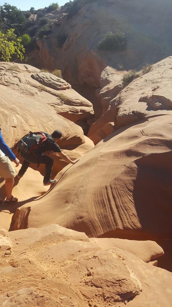
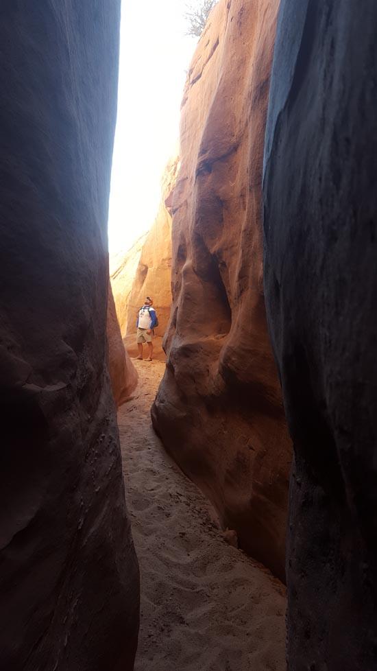
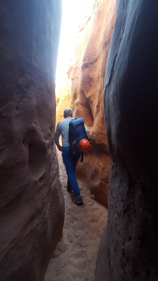
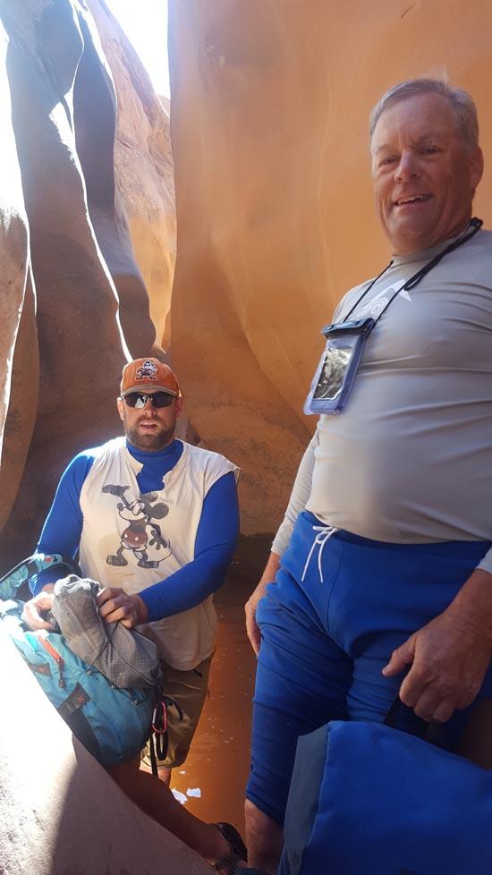
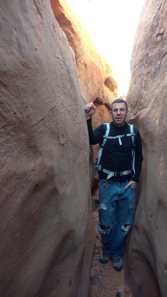
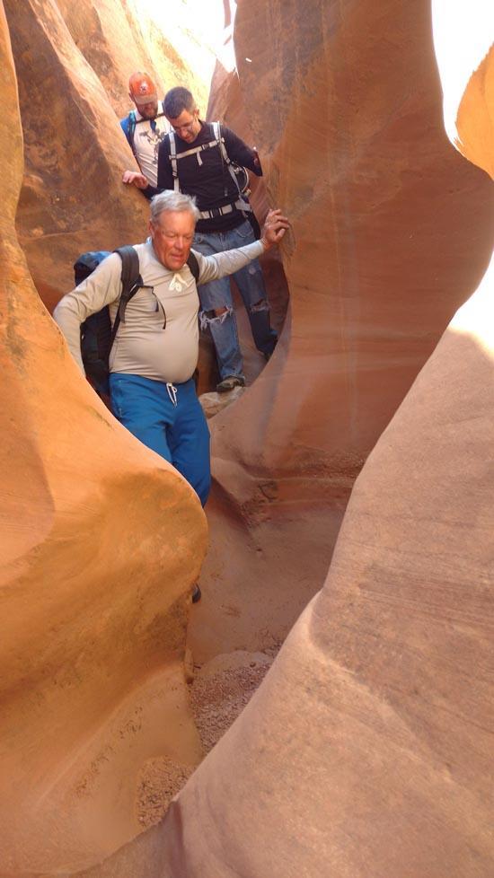
Squeeze Fork joins on the left. Take the chance to explore up the canyon if you have time. We were able to climb all the way out the top.
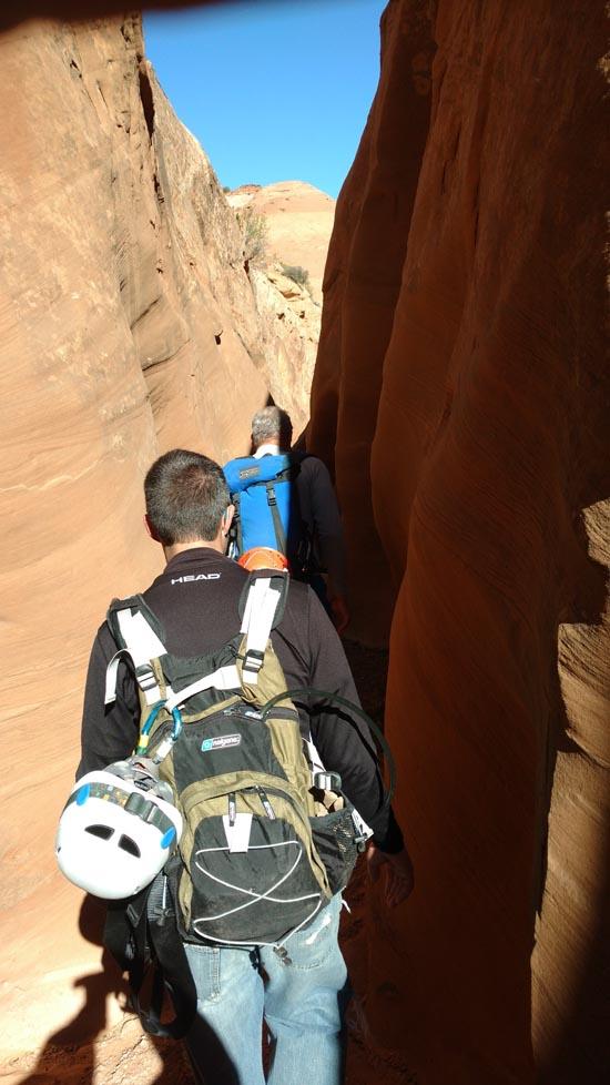
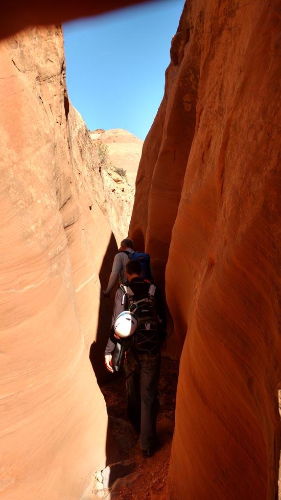
After some more narrows, the canyon opens up again into a wash.
After 2 miles of sandy wash walking is the junction with Main Fork.
From here, you can either continue down canyon to the lower Narrows and all the way down to the Great Gallery in Horseshoe Canyon, or you can go up canyon and exit via West Fork or the West Exit to a car shuttle, or you can go all the way up Main Fork and back to your vehicle (no shuttle required).
Closest City or Region: Hanksville, Utah
Coordinates: 38.348515, -110.267176
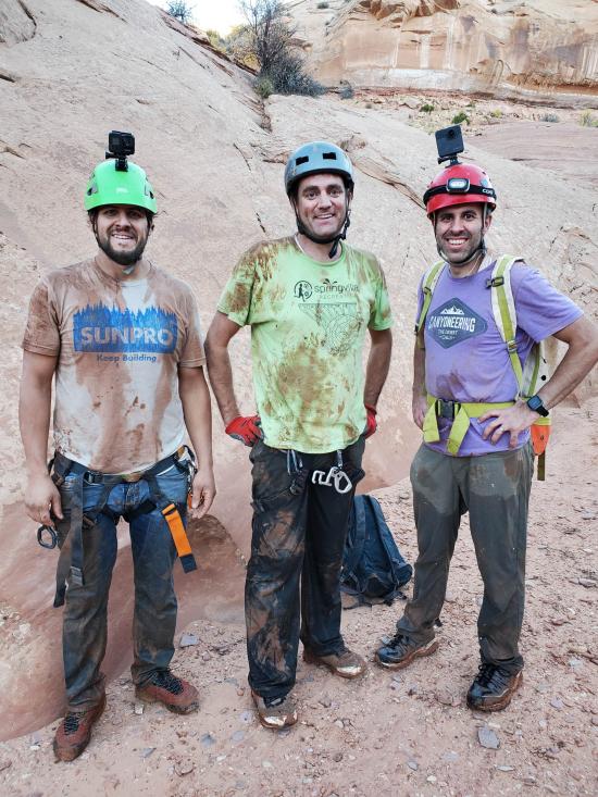
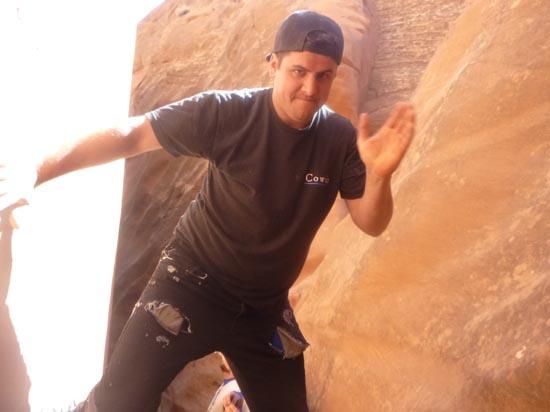
By Jeremy Dye
Jeremy Dye, Savannah Dye, Anthony Dye, Ondylyn Wagner, Matt Laurendeau,
Start:4:00 p.m.
Top of Squeeze Fork: 4:35 p.m.
Bottom of Squeeze Fork: 5:35 p.m.
Top of East Fork: 7:00 p.m.
Finish: 8:00 p.m.
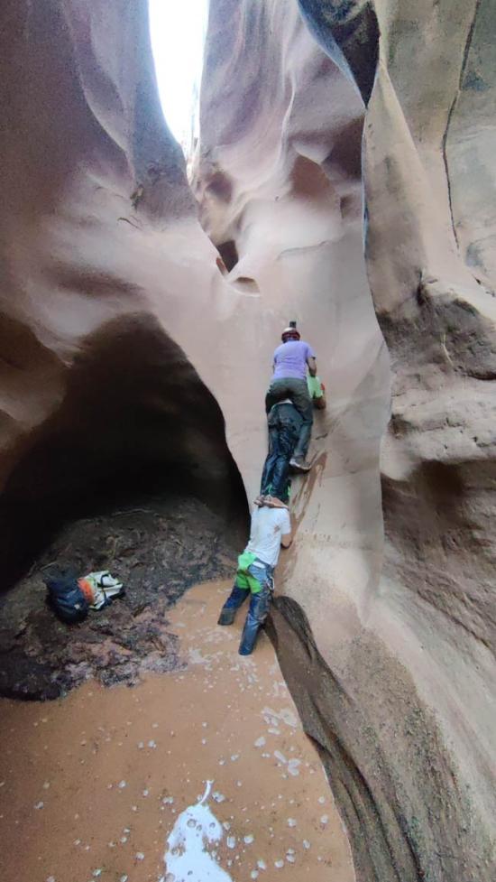
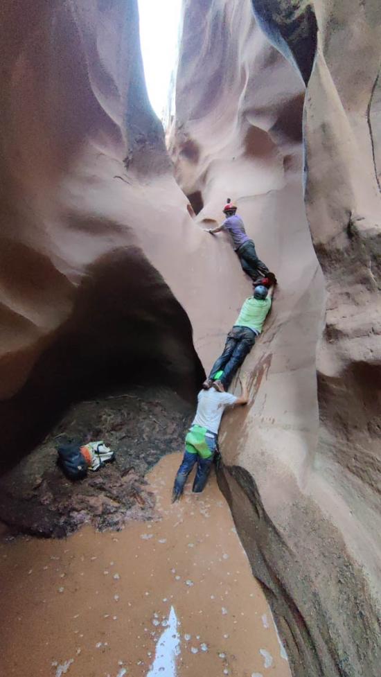
After doing the North Fork of Lost Spring Canyon, we went back to camp. Most of the people chose to stay at camp while Anthony, Ondy, Matt, Savannah, and I went to Blue John Canyon. We started at 4:00 p.m. and went down Squeeze Fork and up East Fork. We weren't 100% sure that we would be able to make it up East Fork but we gave it a try anyway. Squeeze Fork was a lot of fun and very squeezy but not too bad. Anthony has lost a lot of weight this summer so he was pretty proud of making it through at ground level. As we were making our way up East Fork, the hardest obstacle was a 23 ft rappel. Our feet were pretty muddy and wet, so we weren't able to just climb out. We first attempted a three-person stack with Anthony on the bottom, Matt in the middle, and me on the top. I almost made it up the climb at the top but couldn't quite make it, so we tried again with four people. This time it was Anthony on the bottom, then Matt, then me, and Ondy at the top. She made it out and boosted me up . Then we used a rope and Micro Traxion to hoist the others out. Savannah took a video of the whole attempt, and it was pretty fun to analyze what worked and didn't work after the fact. The rest of East Fork was pretty straightforward as we bypassed the 50 ft rappel. We made it back to the truck shortly after dark and made it back to camp in time for a late dinner.

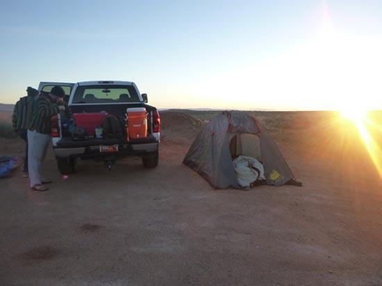
 Sam's Mesa Road Primitive Camping
 Lost Spring Canyon, North Fork
By Jeremy Dye
Jeremy Dye, Anthony Dye, Eric Burrows, Rob Whitaker,
Total Time: 8 hours 40 minutes to do East Fork, Squeeze Fork and Main Fork.
Approach Hike from Parking to East Fork: 40 minutes
East Fork to Bottom of Squeeze Fork: 1 hour 40 minutes
Up and Down Squeeze Fork: 30 minutes
Bottom of Squeeze Fork to Junction with Main Fork: 2 hours
Junction to Top of Main Fork: 2 hours 50 minutes
Return Hike from Top of Main Fork to Parking: 1 hour
This trip was Rob's idea. He'd been wanting to do this canyon for ages, and he finally found someone to go with him. We had a lot of fun. The water was freezing. The wash hike between canyons was longer than we wanted, but it is what it is. We went down East Fork, then when we got to the bottom of Squeeze Fork, Anthony and I climbed up Squeeze Fork and then returned back down. Then we all continued down East Fork to the confluence with Main Fork. From there, we hiked up Main Fork and then climbed out the top.

 Rappels
 Downclimbs
 Wading
 Fixed Anchors
 Wetsuit Generally Not Required
 No Drinking Water
 Wayfinding
 Road Access is Dirt - Low Clearance
 Access Road is 2WD Accessible
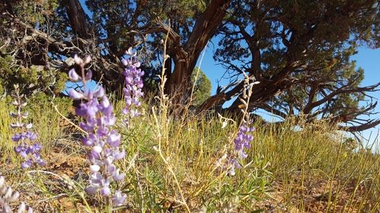
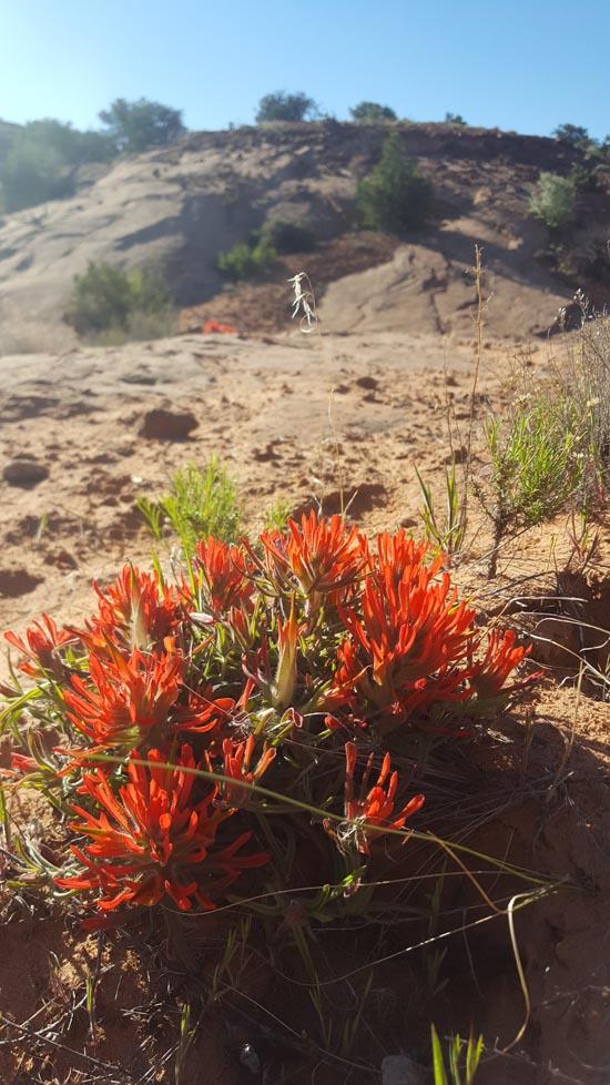
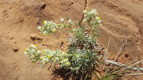
 Wildflowers and Vegitation