 Canyoneering | Cassidy Arch Canyon


Hype:
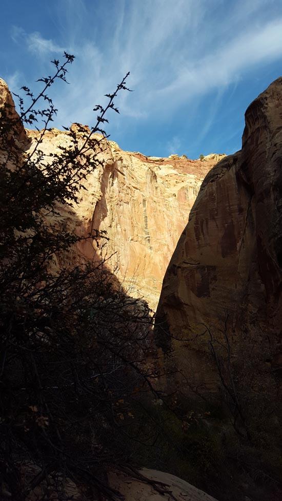
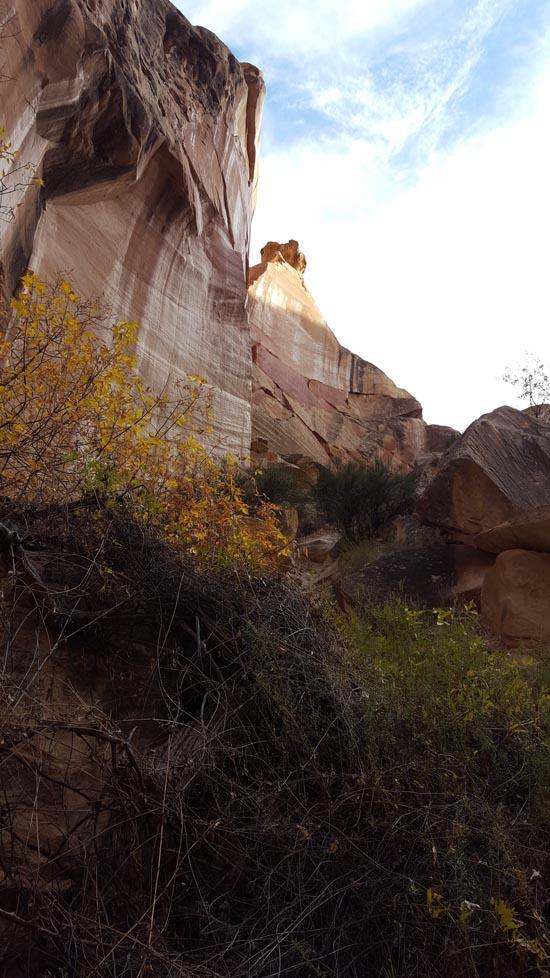
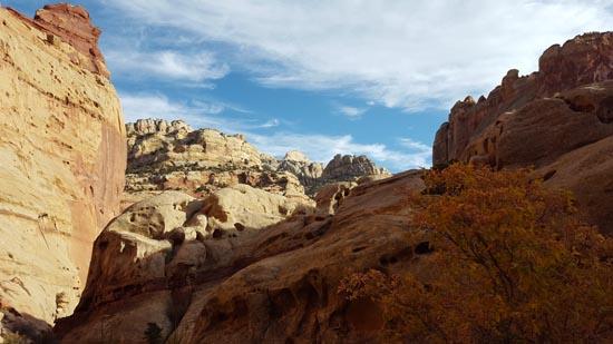
Cassidy Arch Canyon is an awesome canyoneering route that starts at the popular Cassidy Arch in Capitol Reef National Park. The canyon starts off with a bang as you drop 140 feet through Cassidy Arch followed by another 140-foot rappel. Five more rappels take you through 2 more arches/natural bridges and through sections of scenic canyon rarely visited by others. The canyon takes about half a day and is great fun for canyoneers.
Canyon Rating: 3A 
Time: 4-6 hours
Length: 2.3 miles round trip
Longest Rappel: 140 ft
Fees: Entrance fee
Recommended Ages:
 | 0-3 |
 | 4-11 |
 | 12-19 |
 | 20-49 |
 | 50-69 |
 | 70+ |
Recommended Months to Visit:
| Jan |
| Feb |
| Mar |
| Apr |
| May |
| Jun |
| Jul |
| Aug |
| Sep |
| Oct |
| Nov |
| Dec |
Permits: Not required
Navigate to 38.263730, -111.215841.
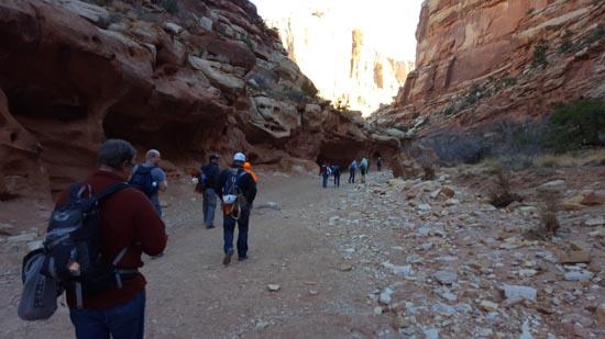
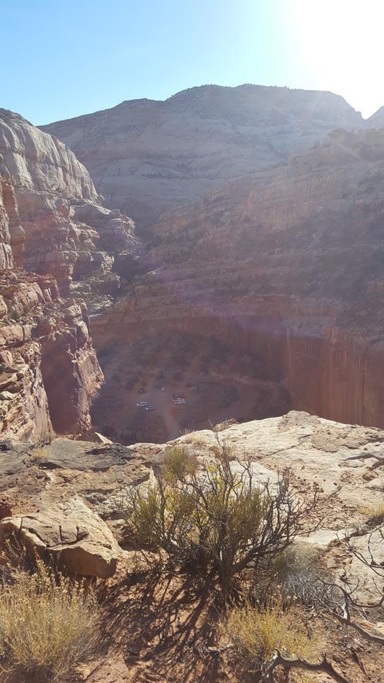
Drive up Grand Wash to the parking area at the end of the road.
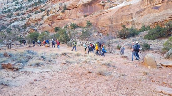
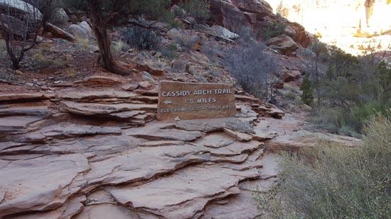
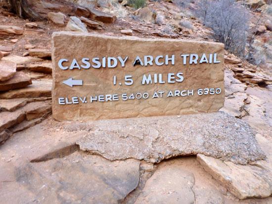
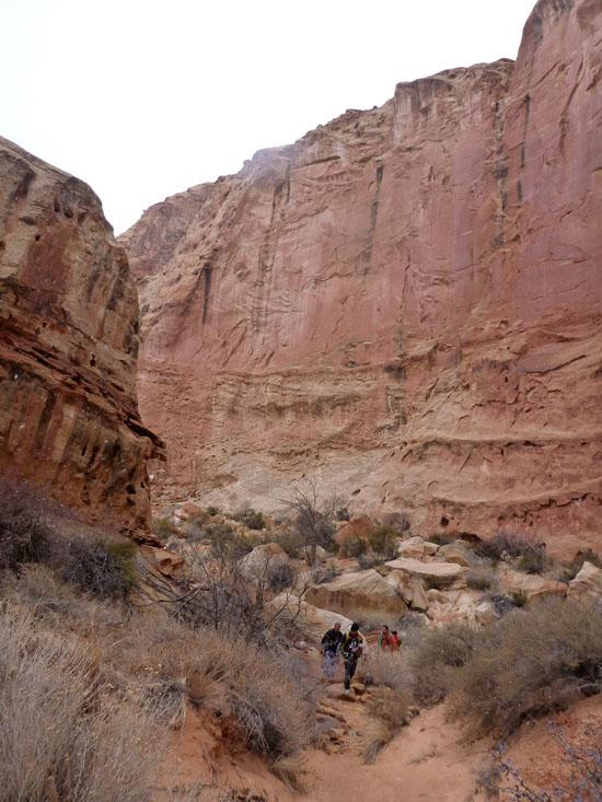
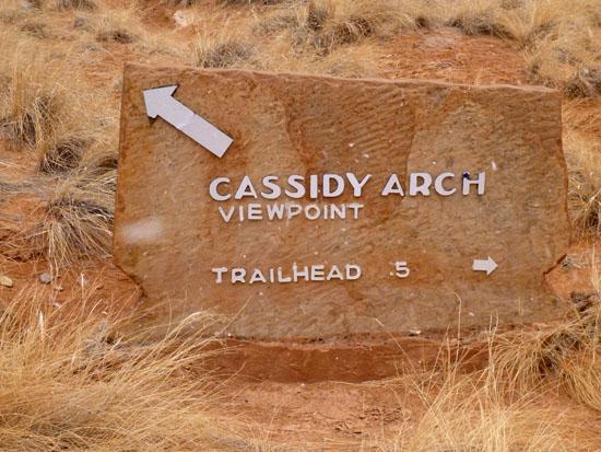
Hike up the wash 0.2 miles to the junction. There is a sign indicating Cassidy Arch Trail on the left.
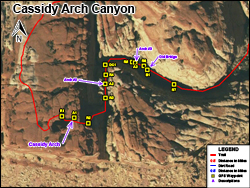
Follow the Cassidy Arch Trail for 1.4 miles to the top of Cassidy Arch. This is the start of Cassidy Arch Canyon.
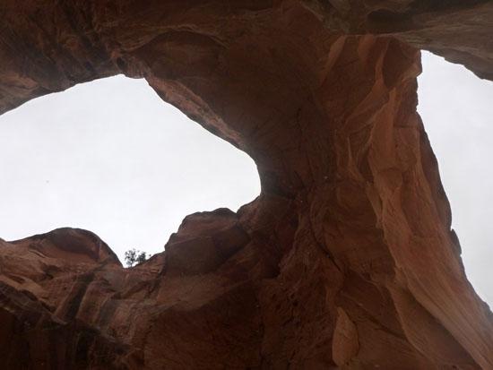
Arch #1: Cassidy Arch.
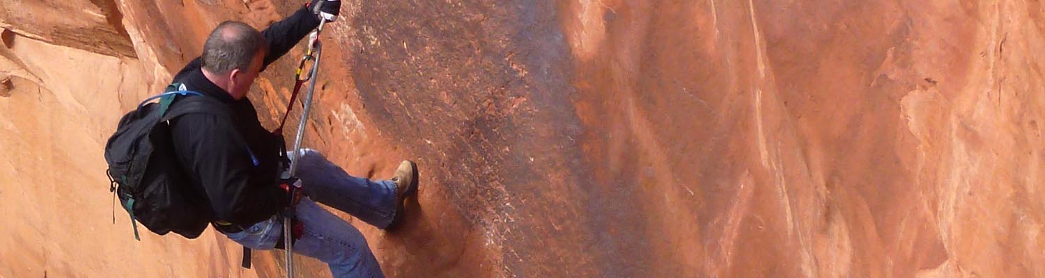
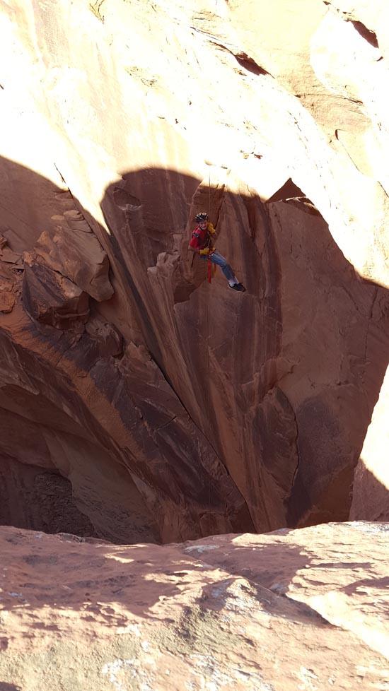
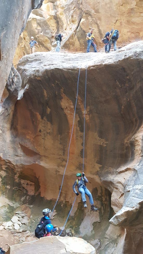
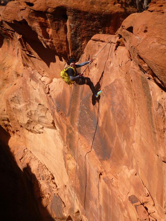
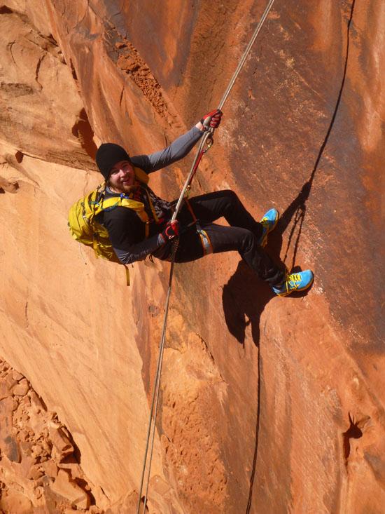
Rappel #1: 140 ft off a two-bolt anchor.
Rappel #2: 140 ft off a two-bolt anchor.
Rappel #3: 2-stage rappel off a tree; 10' rappel then 20' walk then 20' rappel.
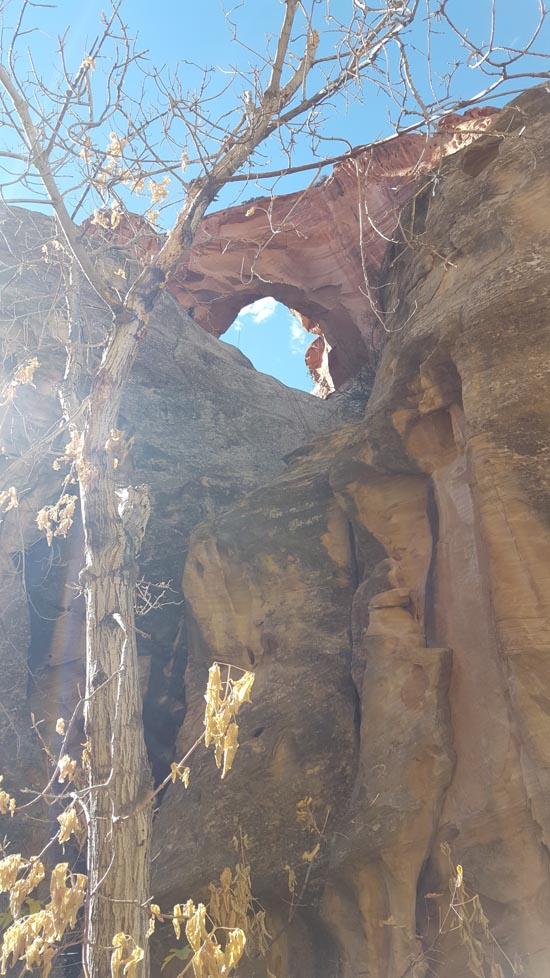
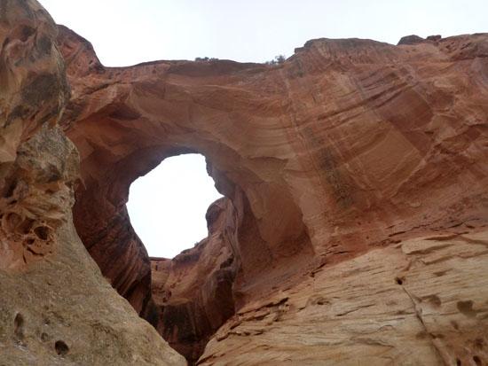
Arch #2: Natural Bridge.
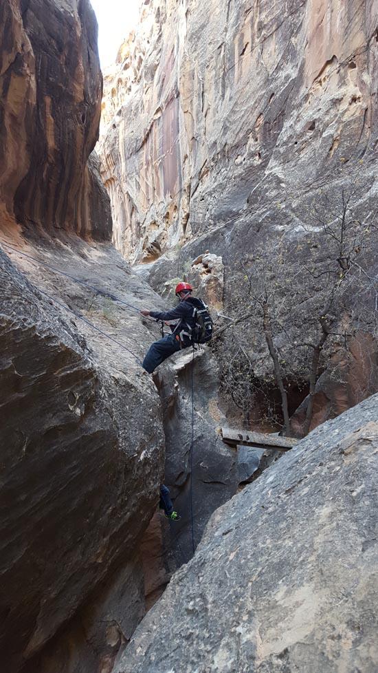
Rappel #4: Crack squeeze then 15 ft rappel from a two-bolt anchor.
Down Climb #1: 7' downclimb on a log.
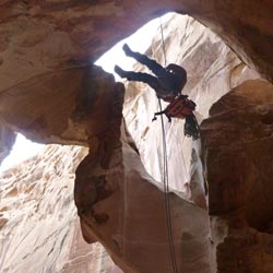
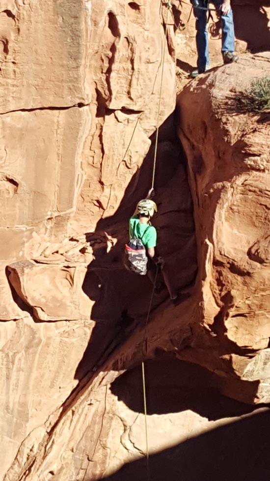
Rappel #5: 65 ft rappel from a two-bolt anchor through a natural bridge.
Arch #3: Natural Bridge.
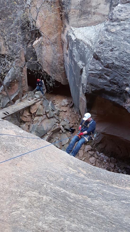
Rappel #6: 50 ft rappel from a two-bolt anchor.
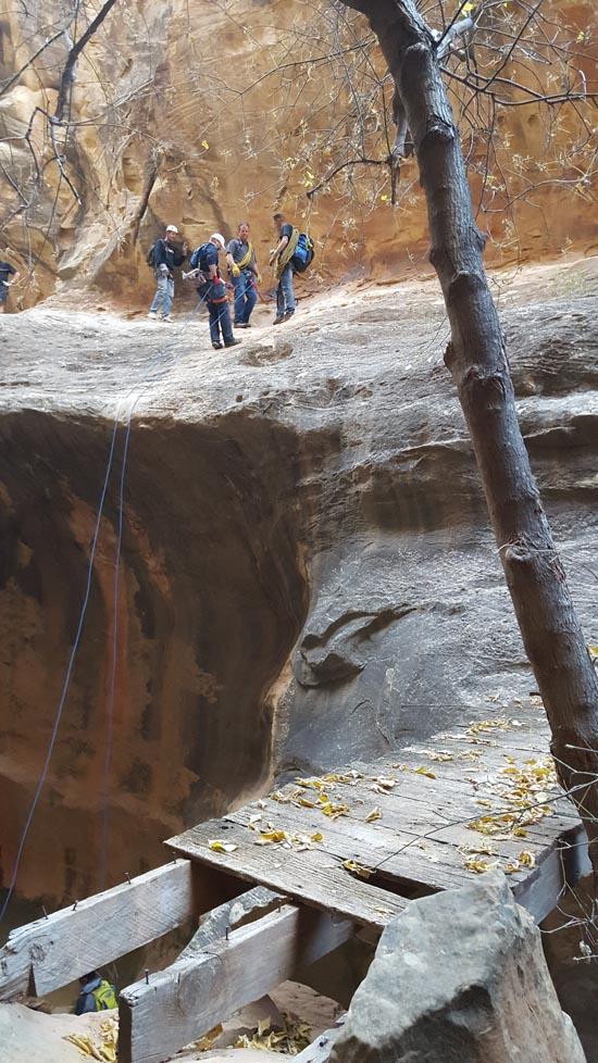
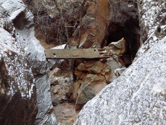
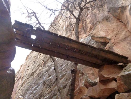
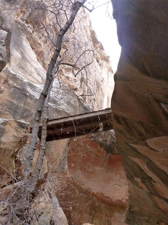
Historic wooden bridge.
Rappel #7: 40 ft rappel off a tree.Extended webbing required.
Closest City or Region: Capitol Reef National Park, Utah
Coordinates: 38.261017, -111.225502
By Jeremy Dye
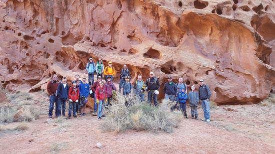
Jeremy Dye, Anthony Dye, Bret Sorenson's ward. Total of 9 adults and 14 kids ages 8 to 16,
7:00 - Depart Richfield
9:00 - Trailhead
10:00 - Cassidy Arch
3:15 - Trailhead
We met at Bret's church in Richfield at 7:00 on Saturday morning. Anthony was coming down from Springville and was going to meet us at the trailhead. He worked late the night before, so he was about an hour behind us. When we got to Koosharem Reservoir, his Malibu threw a rod, so he had to get towed back to Richfield. Tara picked him up at the mechanic and dropped him off at the church where my truck was parked. He then drove my truck to Capitol Reef. By this point he was about 3 hours behind us.
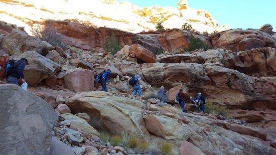
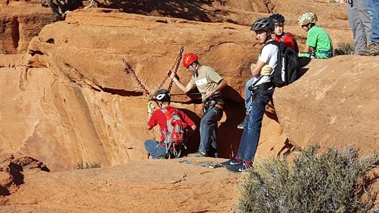
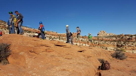
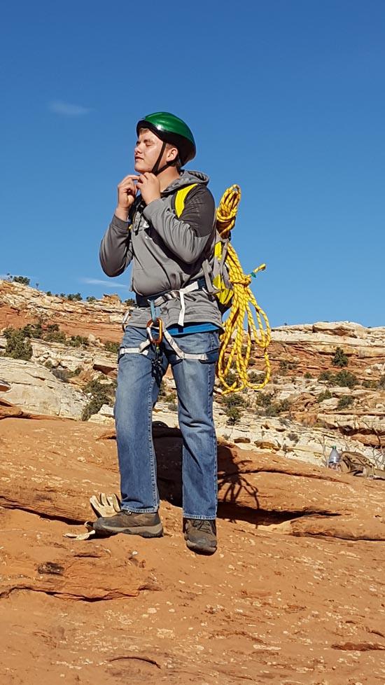
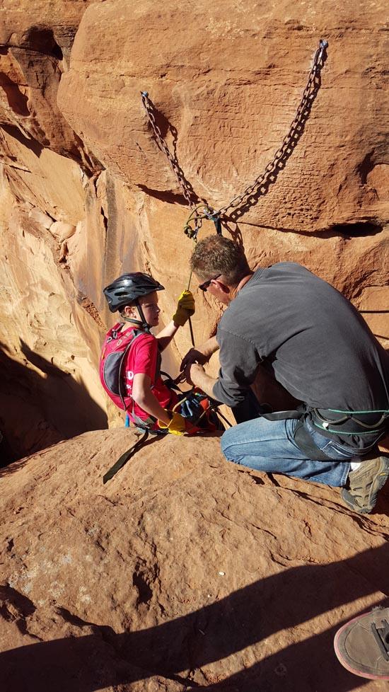
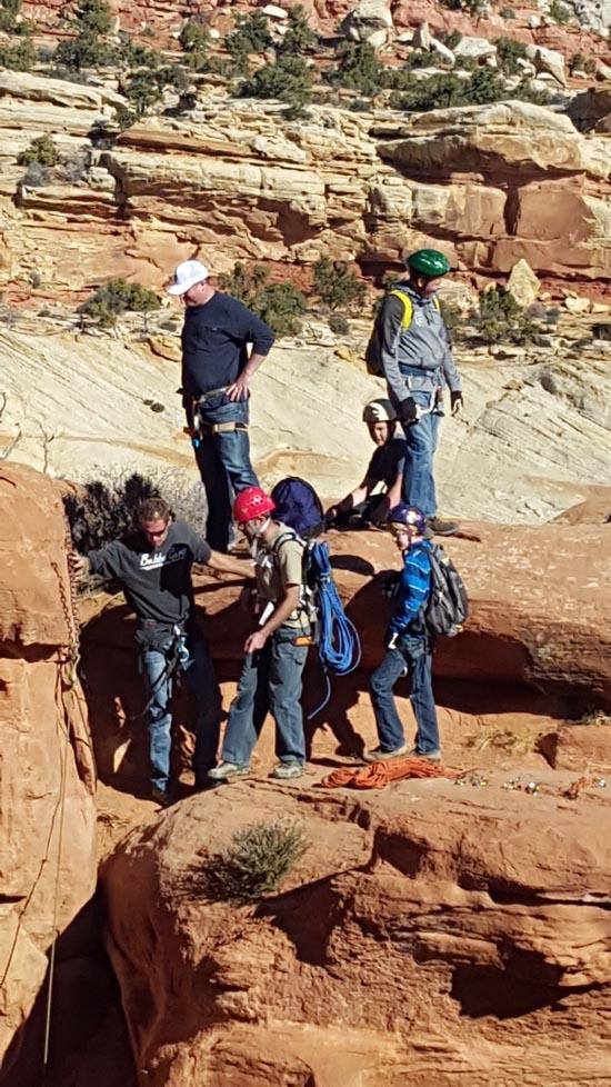
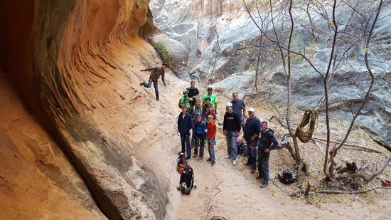
We got to the trailhead at about 8:30 and got gear divied out to each person. We took a group picture then started hiking. I hiked pretty hard and got to the arch around 9:40 to get the rope set up. The rest of the group got there around 10:00. We sent Kelly Crane down first so he could belay everyone else. Then we let a group of 3 go next so they wouldn't have to wait for us. Then we started sending kids down. Most of the kids and a few of the adults had never rappelled before. After we got a bunch of the kids down and I was confident that Tim Hunt could send the rest of the kids down safely, I dropped into the canyon.
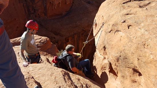
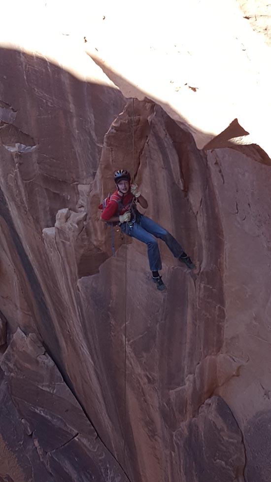
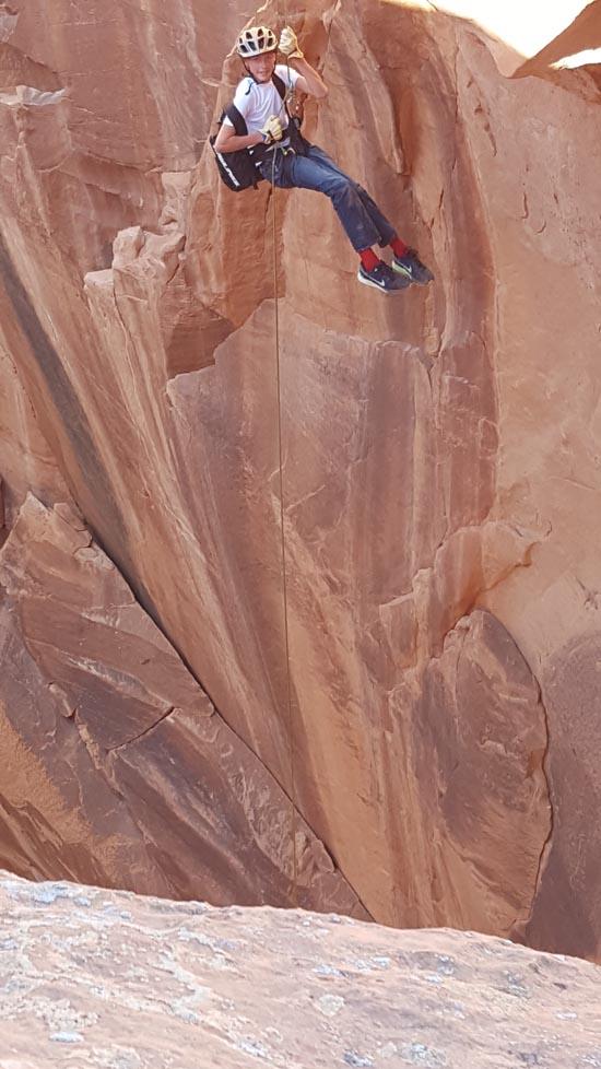
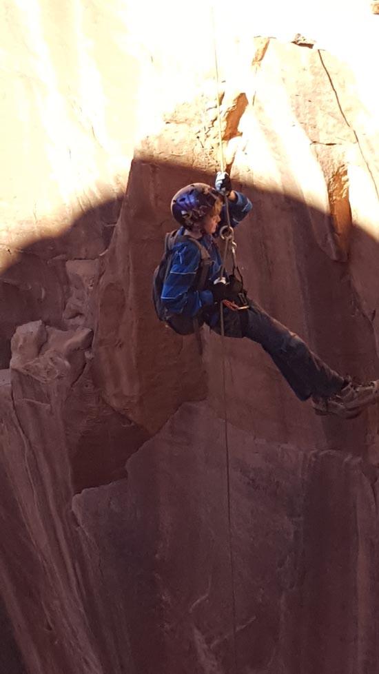
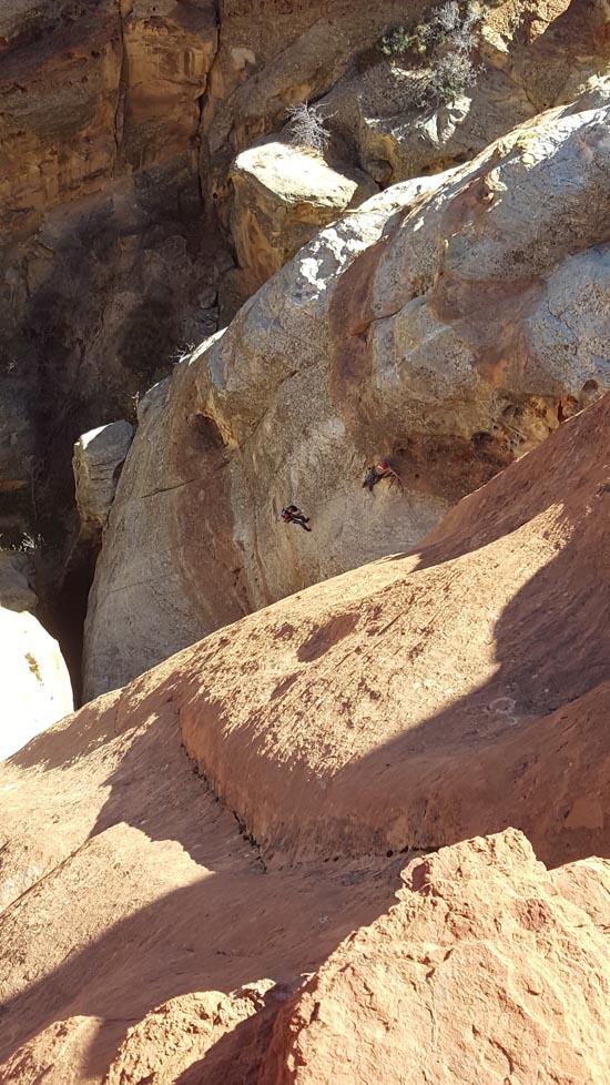
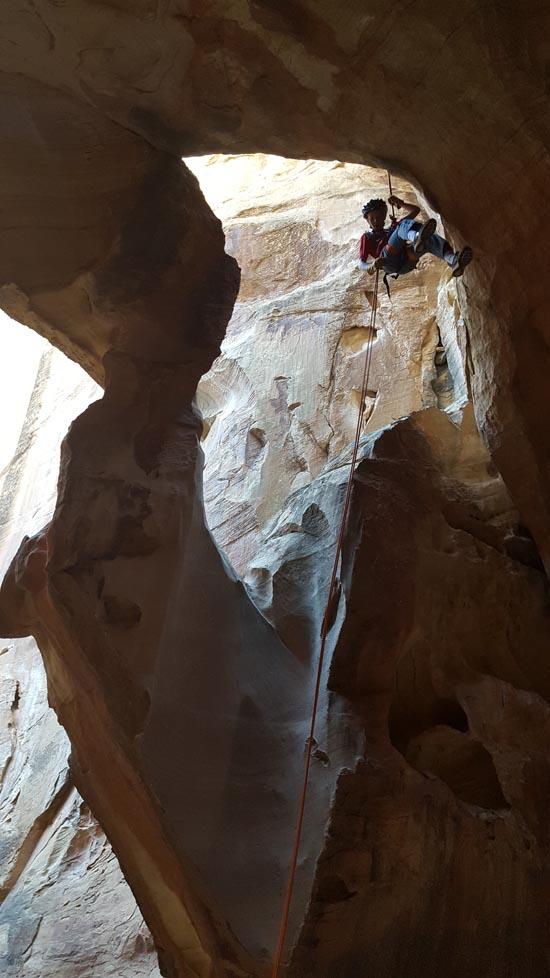
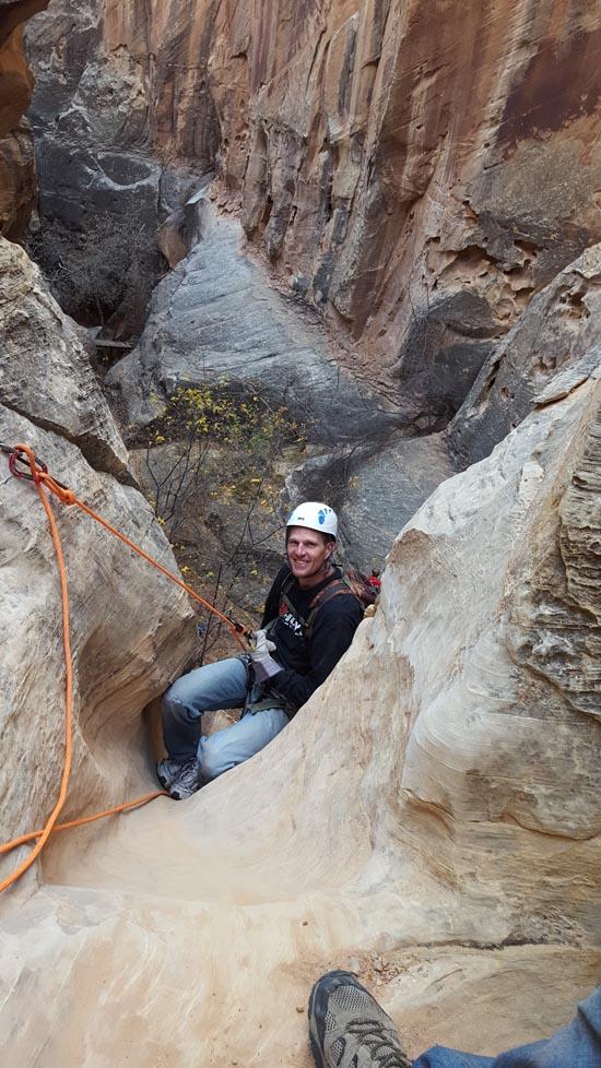
Rappel #1 is 140 feet tall and free hanging, so several of the kids were understandably scared. Two or three of them broke out into tears part way down, and one adult and a couple of kids decided to hike back down the trail rather than do the canyon. When Bret was dropping in, he got going too fast and reached up to grab the top rope with both hands and got some good rope burn on his fingertips. His autoblock kicked in and stopped him because his fireman belayer was taking pictures instead of paying attention.
I set up a guide line out to rappel #2 so everyone could clip on while walking out to the anchor. Then I set up Rappel #2. I lowered the first kid down since he didn't have a fireman belay. Then he belayed the rest of the rappellers. We let another small group pass us before continueing to send everyone else down Rappel #2.
The first two rappels took us about 3 hours to get everyone down. Luckily the rest of the canyon didn't take that long.
We rigged Rappel #3 and Rappel #4 separately rather than do a two-stage rappel. We also used a Stone Knot to isolate the strands so we could hook one person up with the other guy was still rappelling. This sped things up a lot. We had about half the kids down Rappel #3 when Anthony caught up to us. He ran the entire approach trail, dropped the first two rappels, and met us at the third rappel in just 28 minutes.
At 1:45 we stopped for lunch at the bottom of Rappel #6. Then we did the last two rappels and hiked back to the cars by 3:15.
When Bret was going down Rappel #7, he leaned back just a little bit too far and tipped upside-down. He didn't get hurt or anything, it just looked really funny.


By Jeremy Dye
Jeremy Dye, Ray Schofield, Tracy Nielson, Zac Nielson,
We got to the trailhead at around 10:00 and finished at 2:45 for a total trip time of 4 hours 45 minutes. We didn't push ourselves super hard, but we didn't waste a lot of time either.
We decided to do Cassidy Arch Canyon to see if it was appropriate to take the boy scouts on. Turns out it isn't a good canyon for scouts, but it is an awesome canyon and a whole lot of fun.
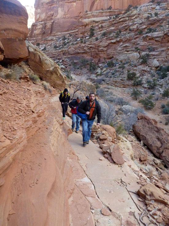
Cassidy Arch Canyon is an extension of the popular Cassidy Arch hike. Hike up Grand Wash for 0.2 miles until the Cassidy Arch trail splits off to the left.
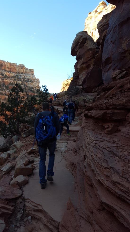
The trail climbs quite steeply at first and has several switchbacks.
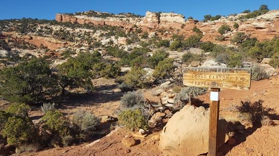
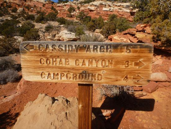
At 1.25 miles, you'll come to a trail junction. The Frying Pan trail continues to the right toward Cohab Canyon and the campground. Take the left fork toward Cassidy Arch.
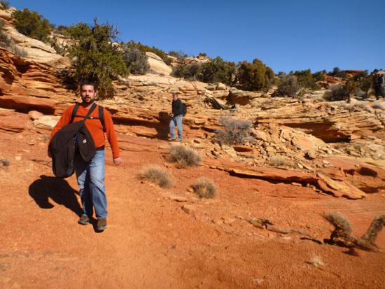
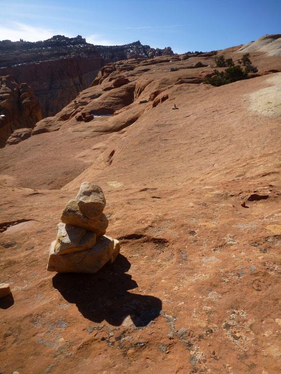
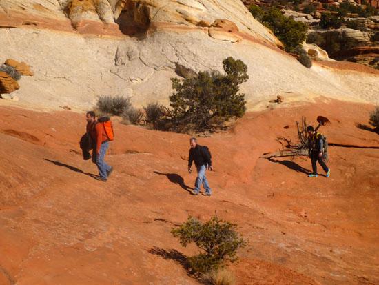
The trail soon crosses slickrock where rock cairns mark the trail.
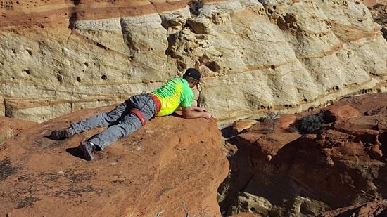
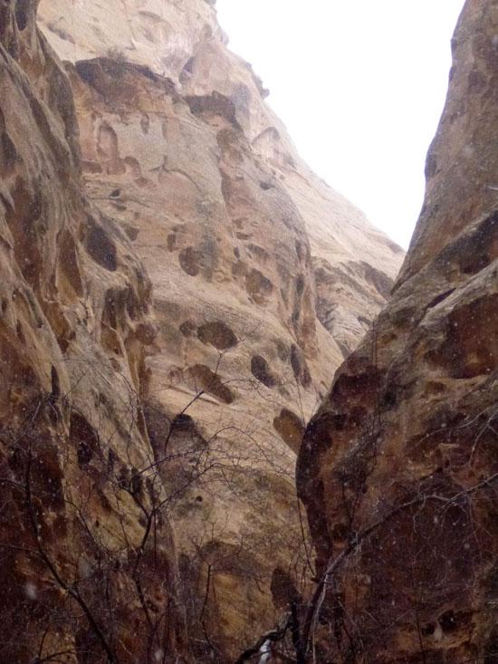
At 1.5 miles, you'll reach the top of Cassidy Arch. If you feel like it, you can walk out on top of Cassidy Arch.
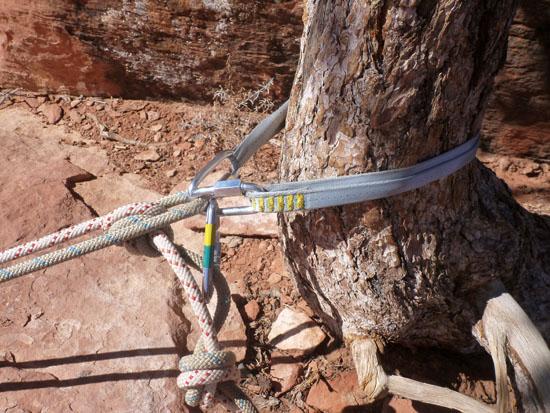
There is a good tree to anchor to on the far left of the picture below.
We set up a 2-ring retrievable sling around the tree. The rappel is about 140' tall.
Ray rappelled down first.
Zac was second down.
Tracy went third.

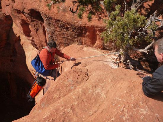
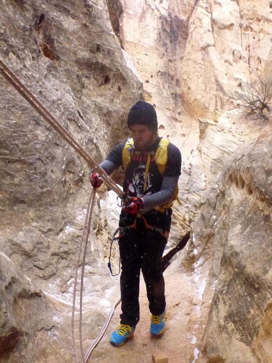
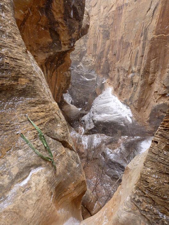
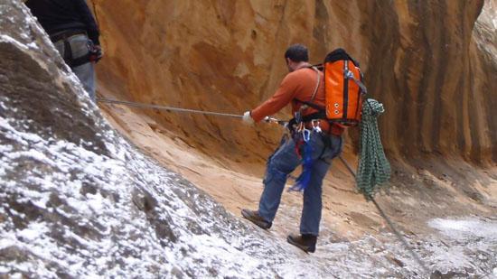
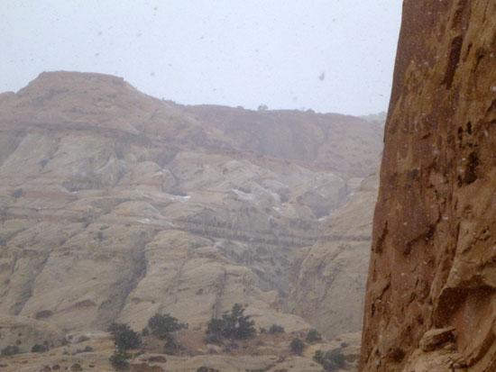
By this point it was snowing, so Ray set up a handline over to the top of the second rappel.
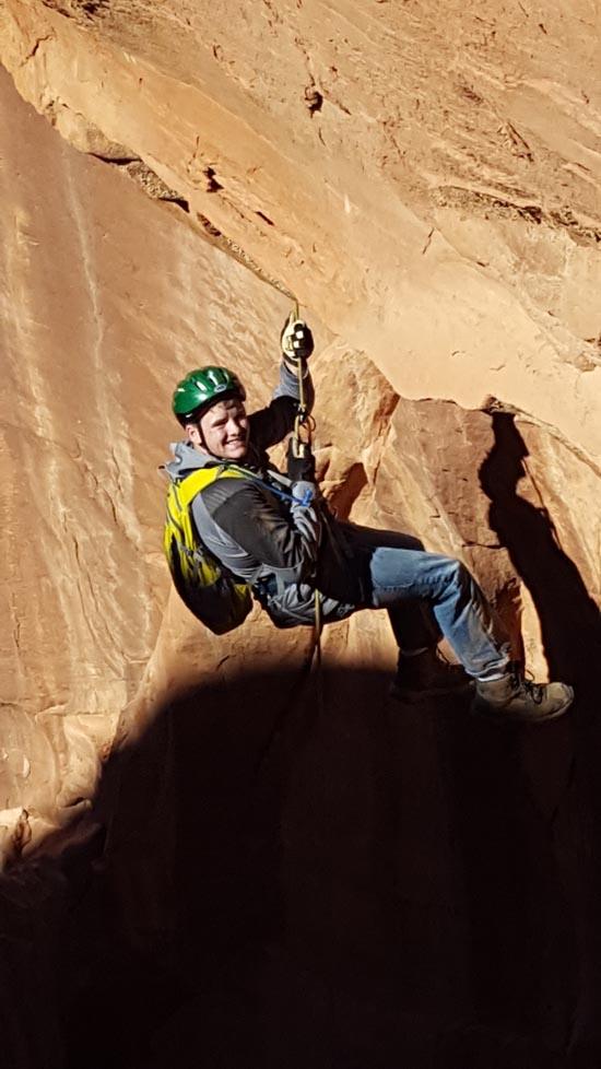
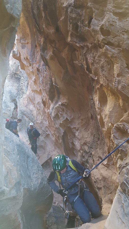
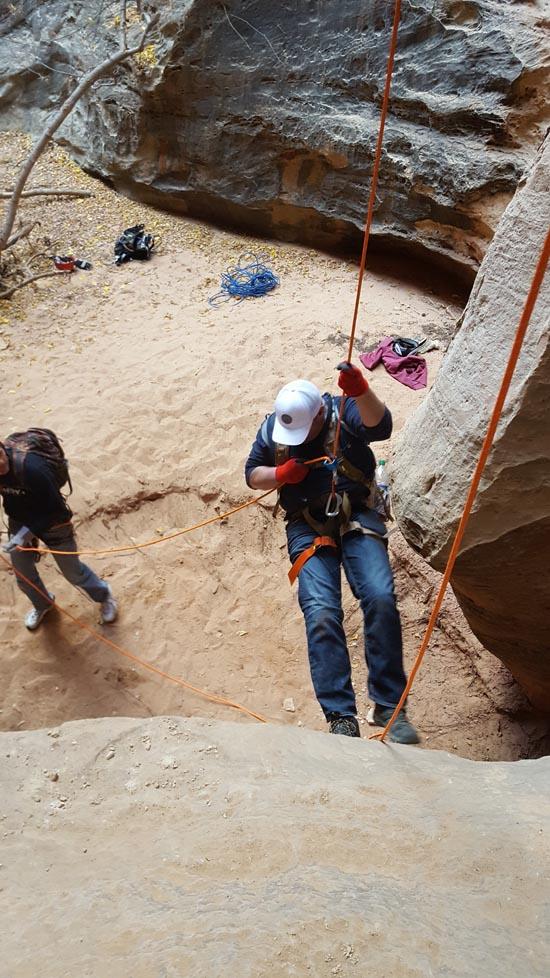
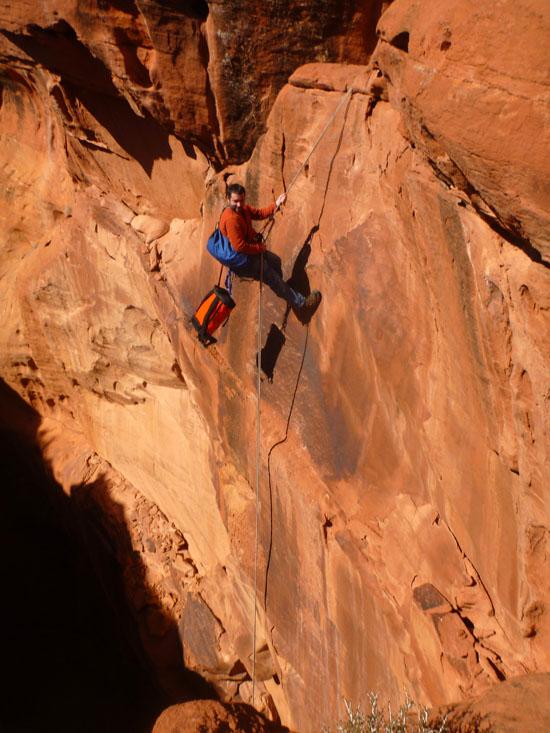
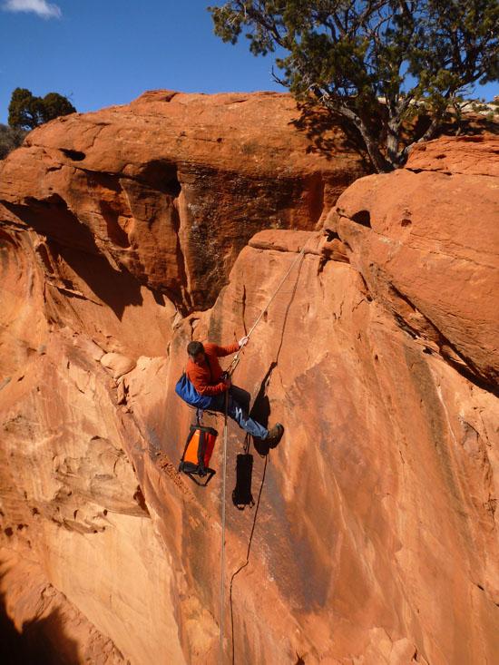
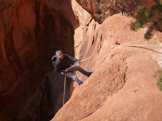
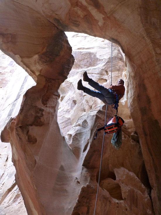
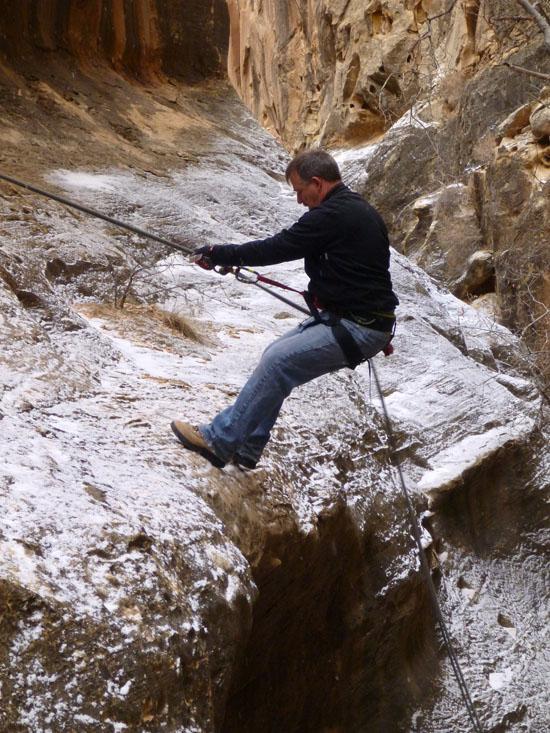
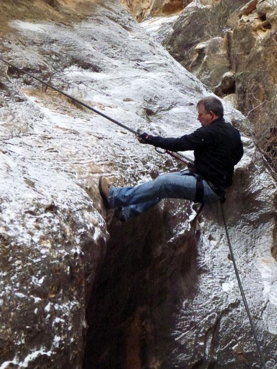
Rappel #2 is a 140 ft rappel off a 2-bolt anchor on the right. The rock is pretty steep here, so we all clipped in.
It all ended up being a jumbled mess, but we got through it.
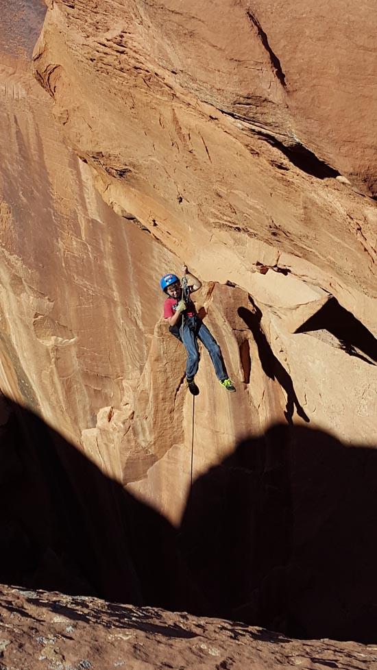
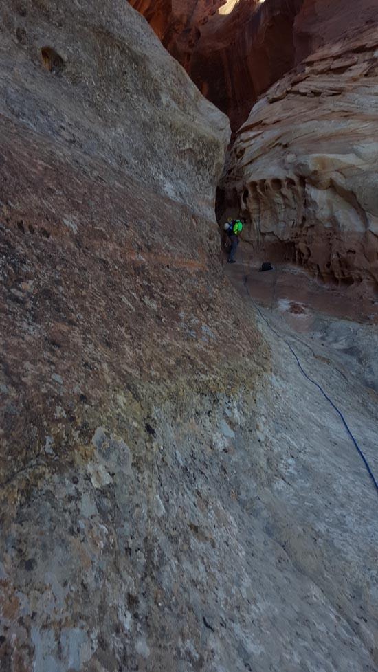
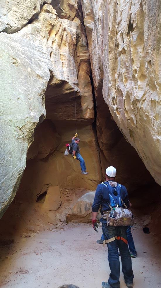
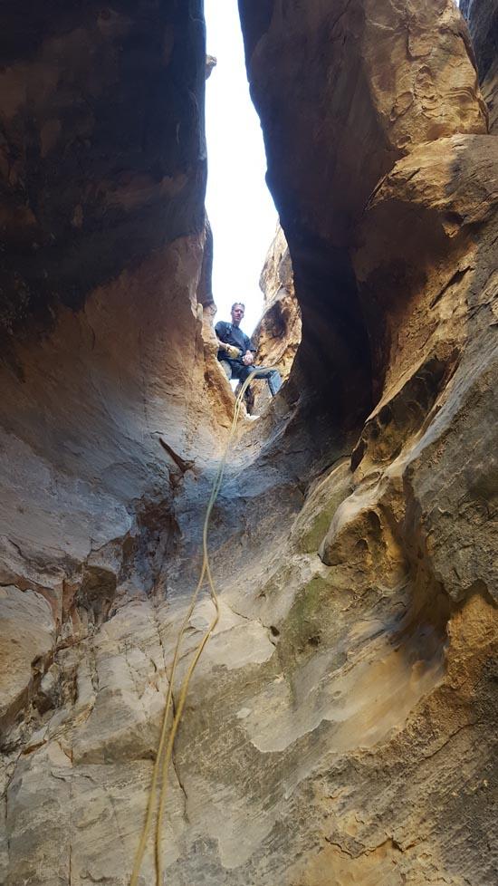
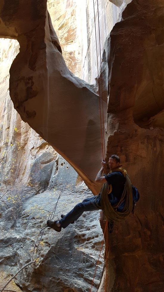
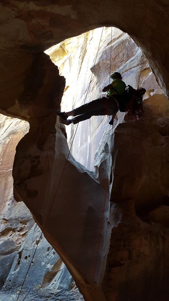
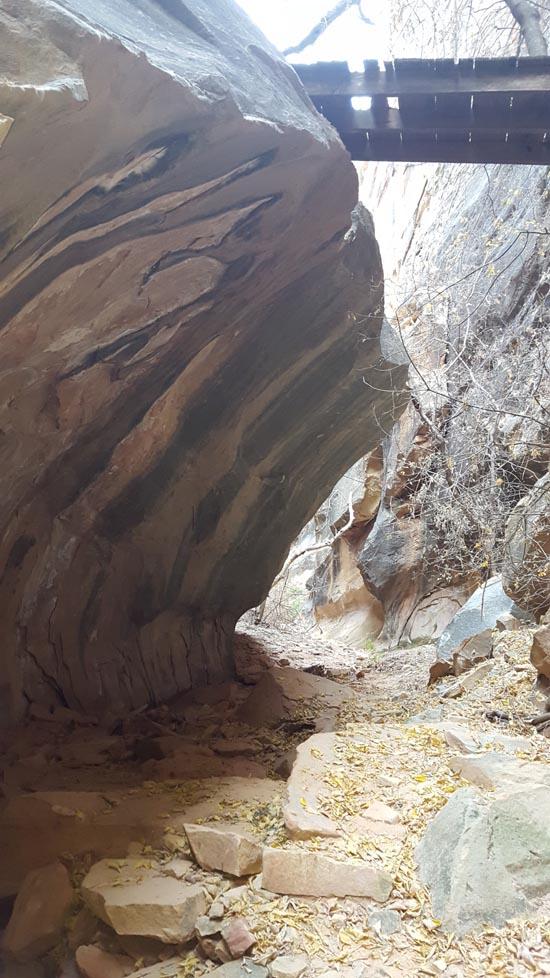
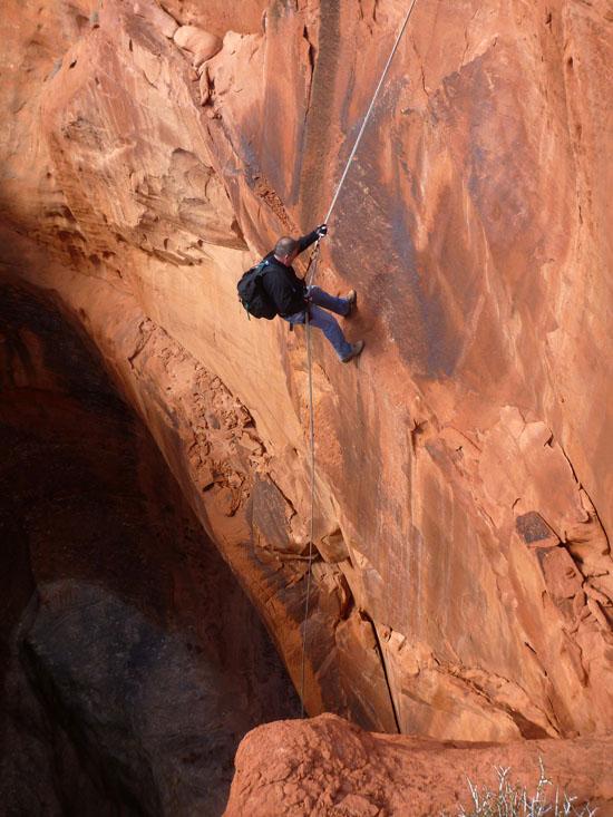
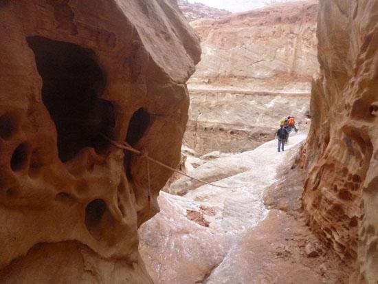
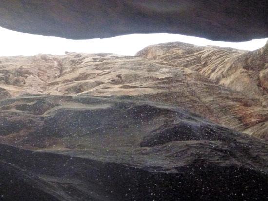
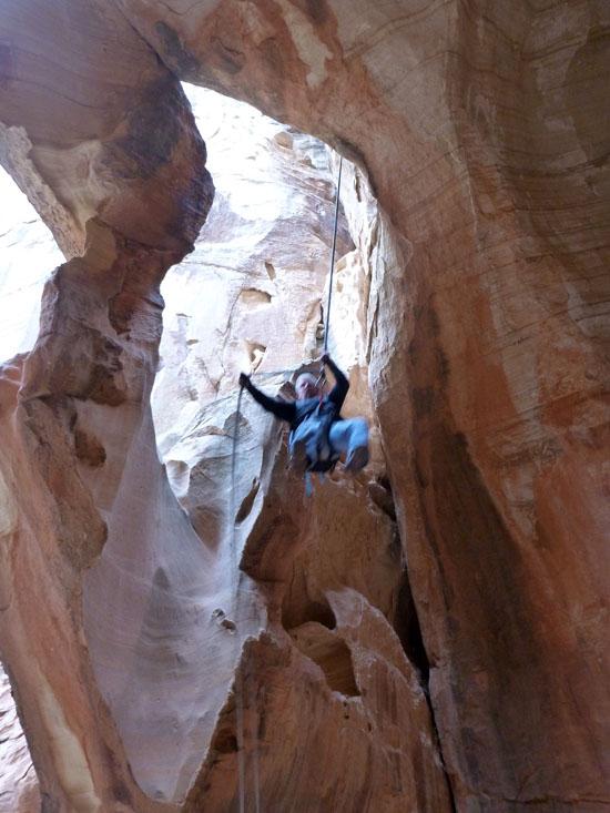
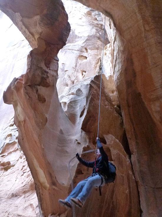
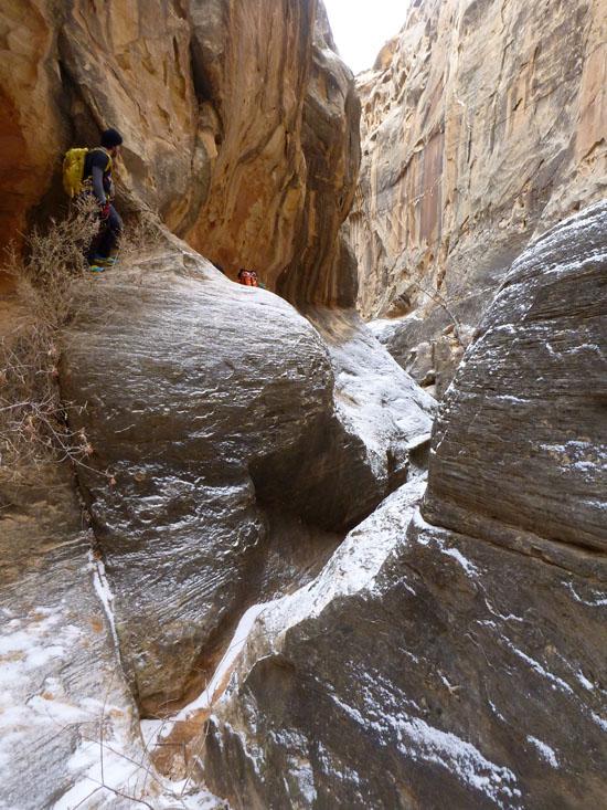
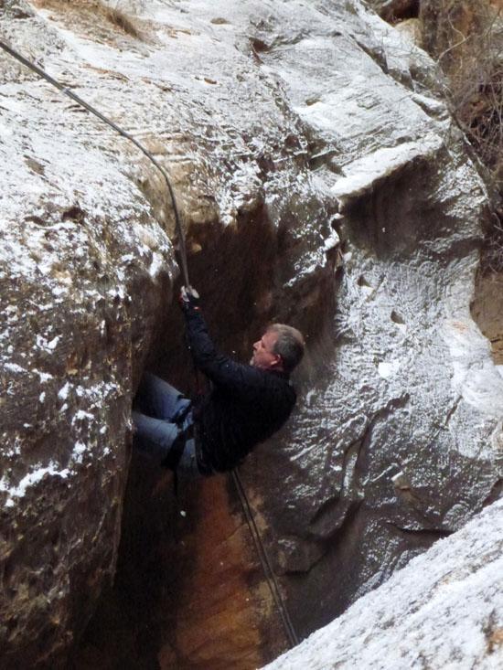
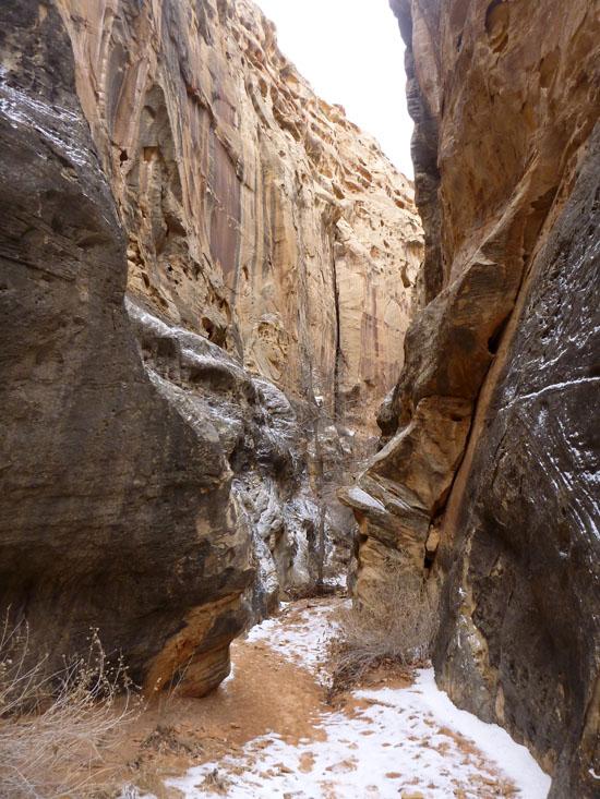
Rappel #2 drops you into a fun cave-like canyon.
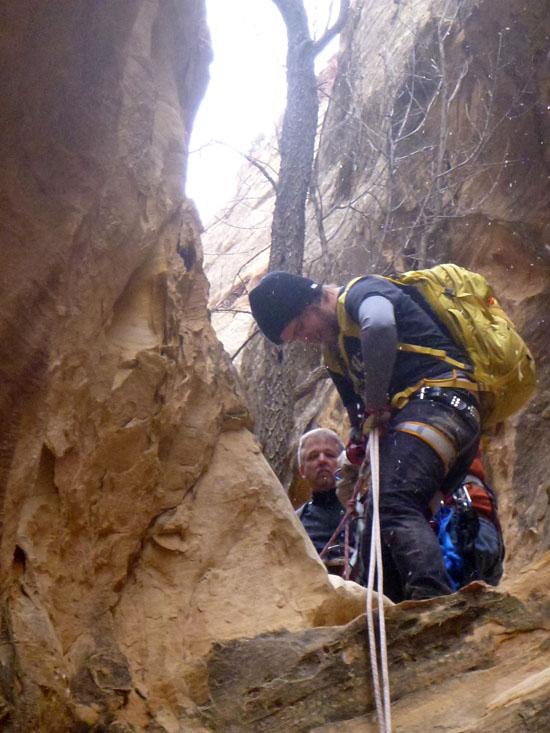
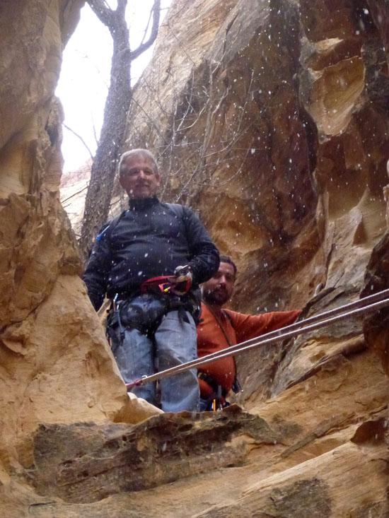
Rappel #3 is a 2-stage rappel. The first drop is about 10 feet, and I just handlined it. Then you walk about 20 feet before dropping another 20 feet through a natural bridge. I handlined the second drop too.
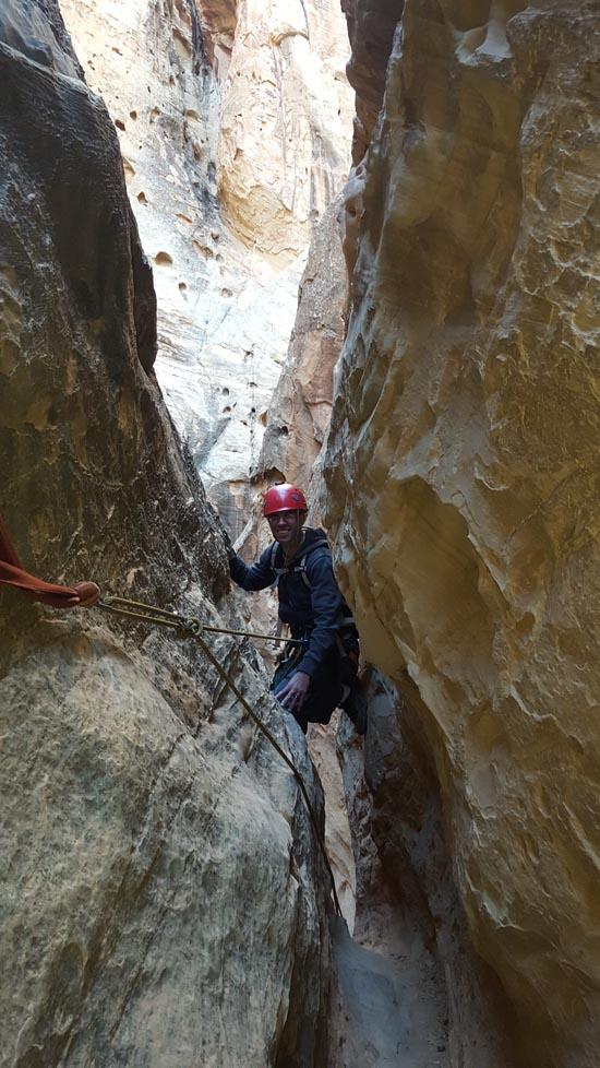
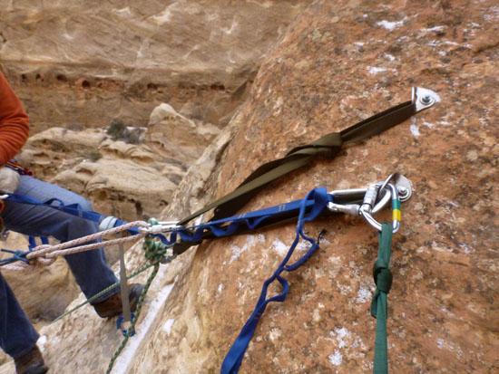
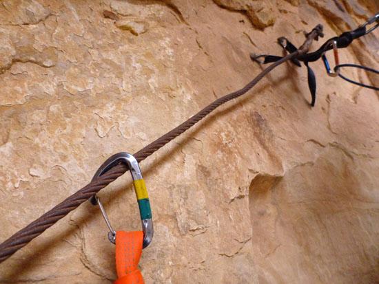
Rappel #4 is listed as being from a cairn anchor on some other guides. However, there are now 2 bolts here.
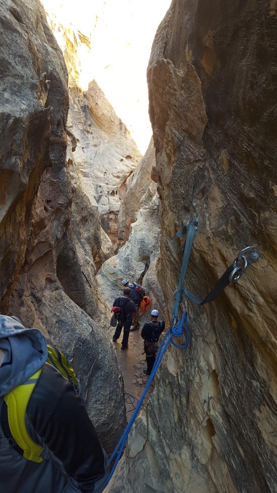
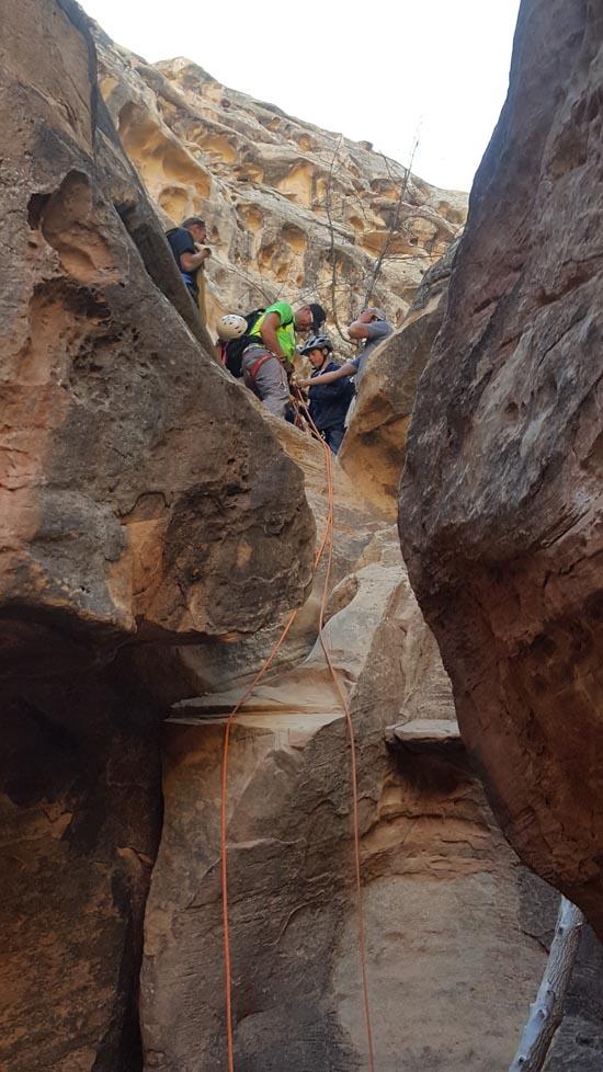
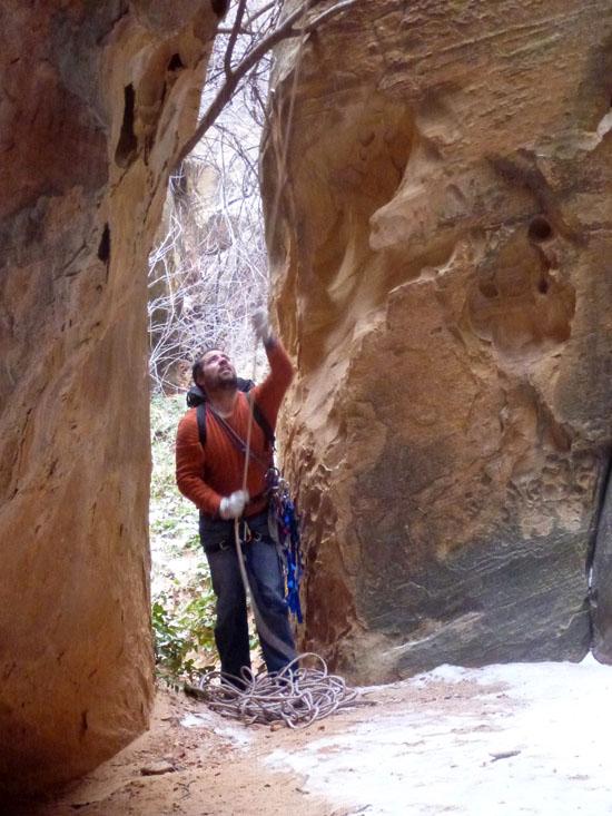
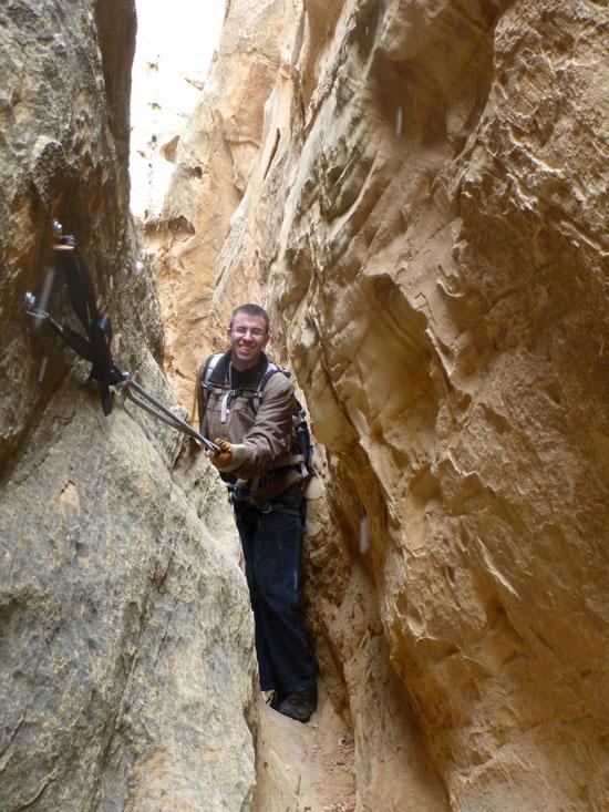
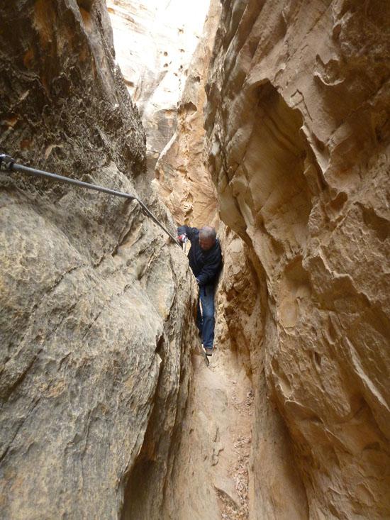
The first part is a skinny squeeze through some rough rock.
Then there is a 15 foot drop.
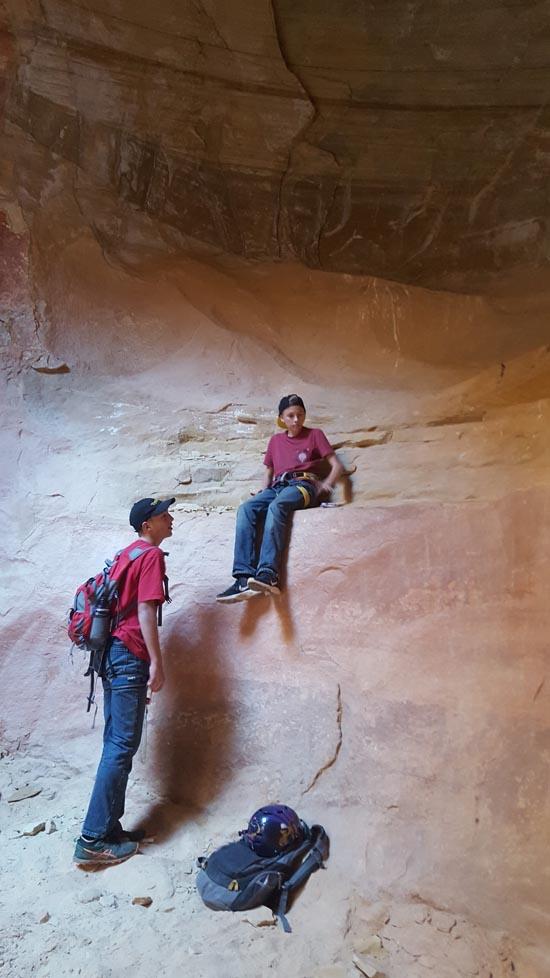
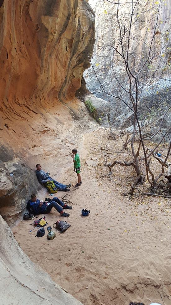
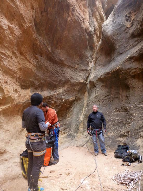
We stopped and ate a quick lunch here before moving on.
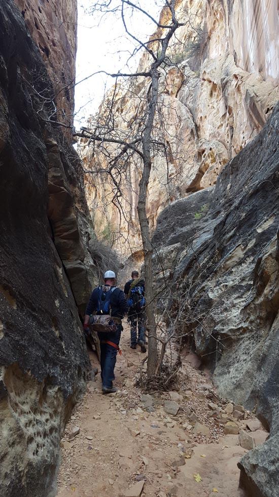
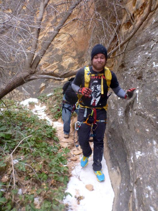
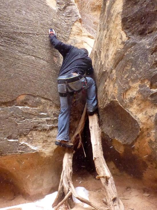
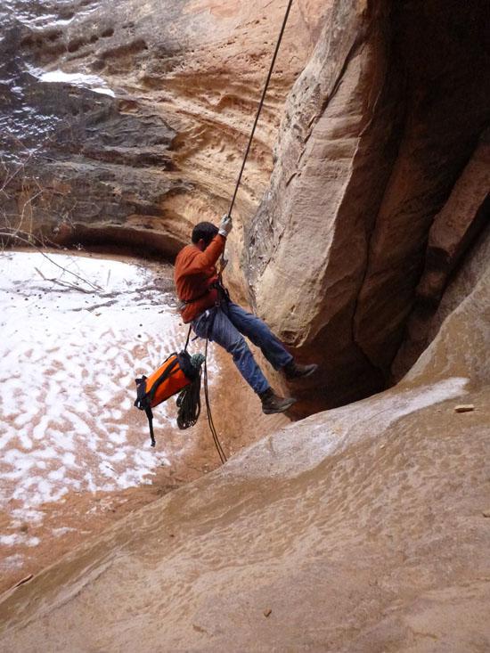
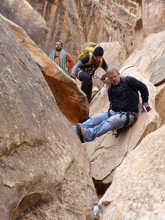
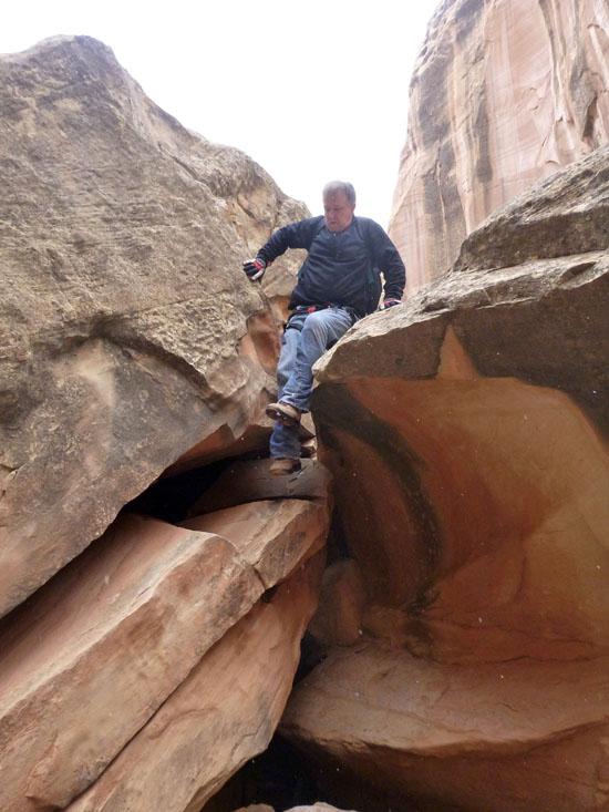
About 20 feet past the bottom of Rappel #4 is a short 7 ft down climb that is very easy.
Then the canyon merges with another canyon coming from the north. Take a right and continue down canyon.
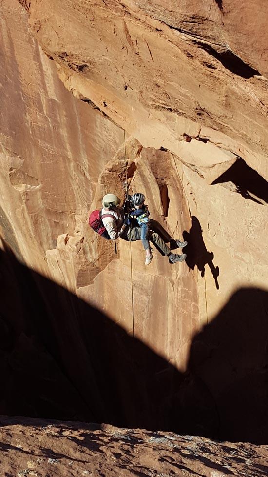
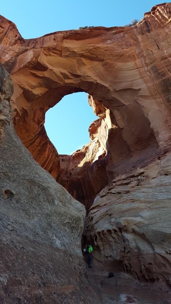
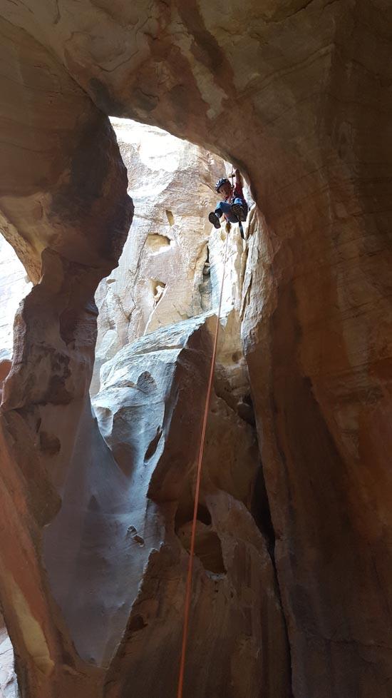
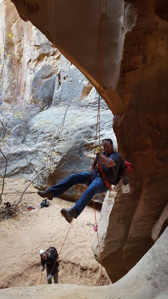
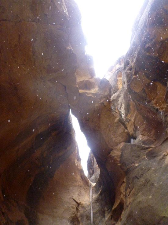
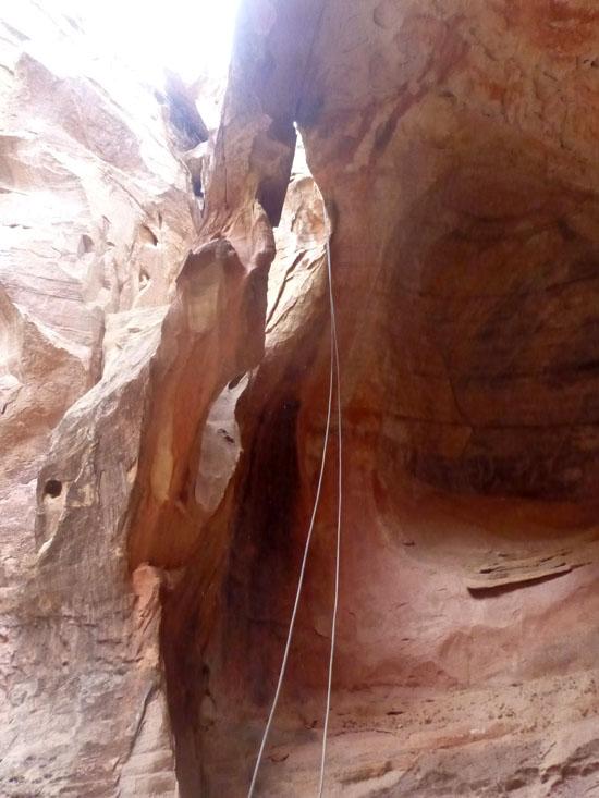
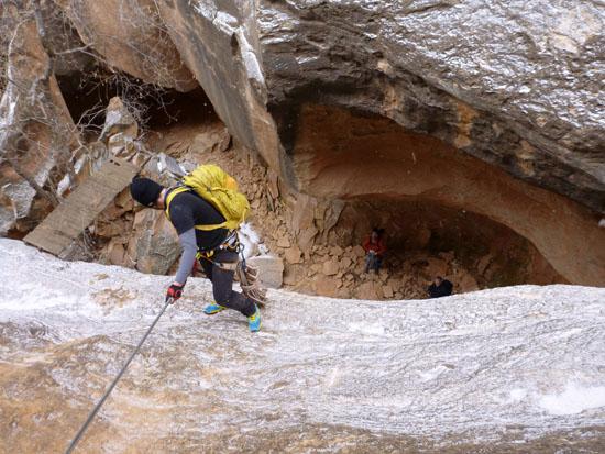
Rappel #5 is a 50 ft rappel from a 2-bolt anchor.
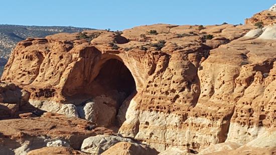
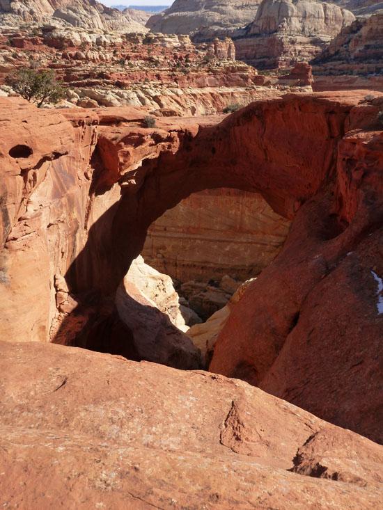
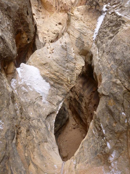
Rappel #5 drops through Arch #3 and is spectacular.
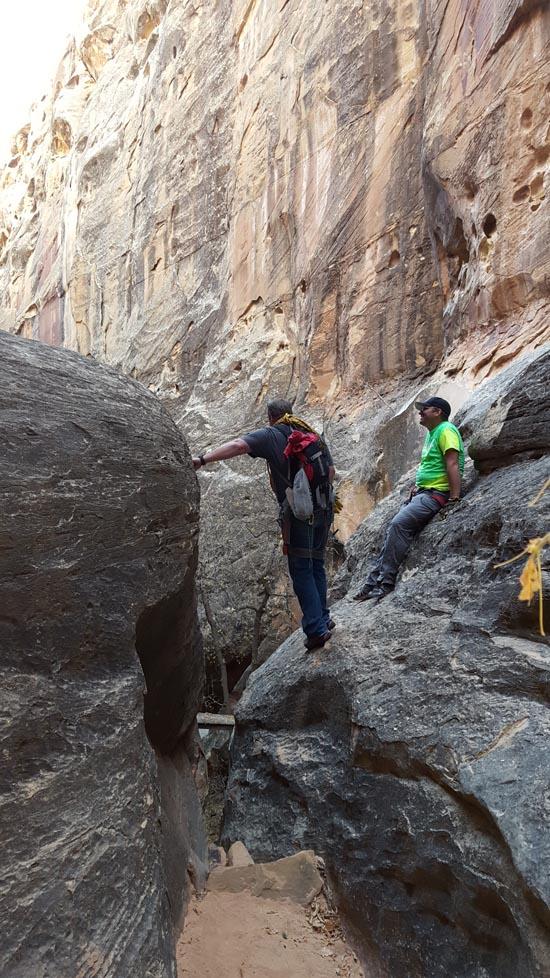
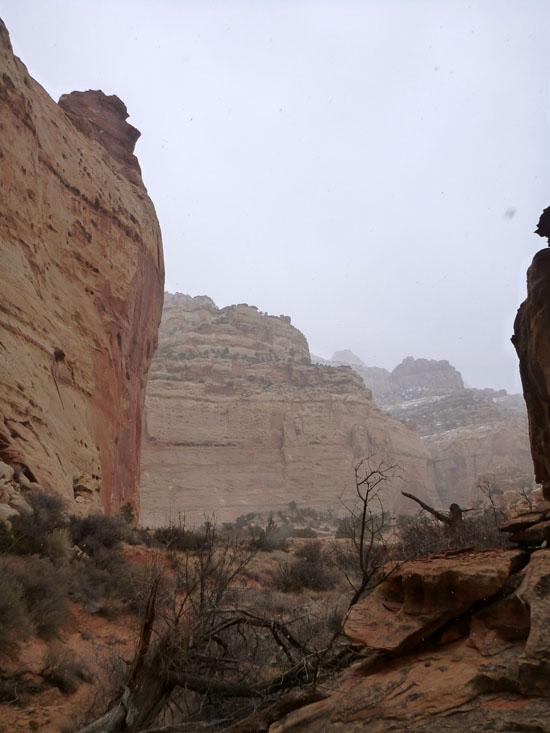
Rappel #6 is the most difficult rappel to locate. When you get to the top of a large drop and can see a wooden bridge below, back up and climb the ledge on your left.
An old wooden bridge helped original explorers enter Cassidy Arch Canyon from below. There are also several steps carved into the rock next to the bridge.
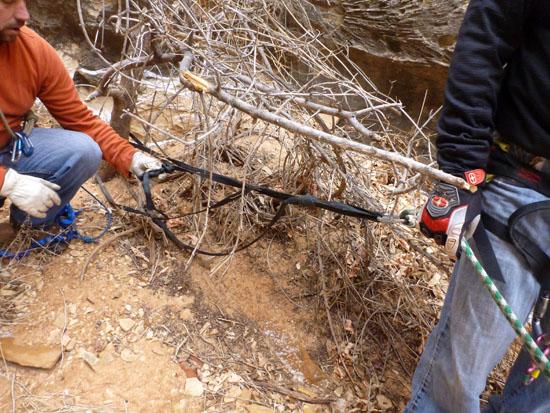
Rappel #7 is a 40 ft rappel off a tree.
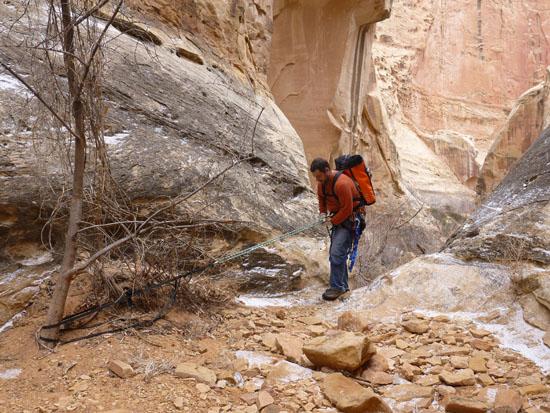
At this point the canyon levels out with just boulder to navigate around.
You soon reach the Grand Wash road and road walk about half a mile back to the car.

_550w.jpg)
Halls Creek Alcove Primitive Camping
Sand Creek GWT Trailhead Primitive Camping
 Arches
 Rappels
 Downclimbs
 Fixed Anchors
 Wetsuit Generally Not Required
 No Drinking Water
 Slot Canyon
 Mountains
 Wayfinding
 Restrooms - Vault
 Road Access is Dirt - Low Clearance
 Access Road is 2WD Accessible
 Viewpoint, Overlooks, Vistas
 Hiking Trails
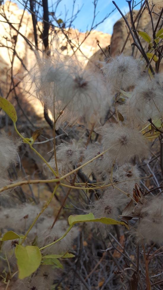
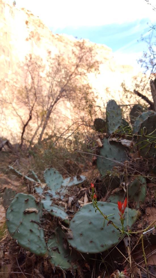
 Wildflowers and Vegitation
 Wildlife and Birding