 Fun Places | Rim Trail Viewpoints


Hype:
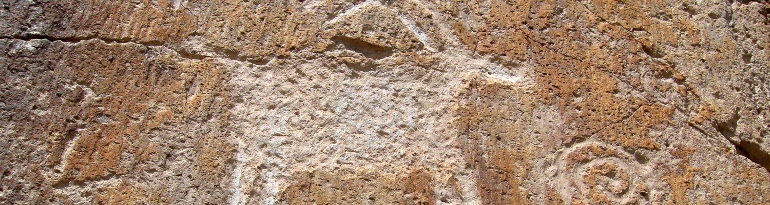
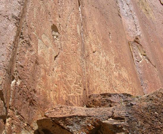
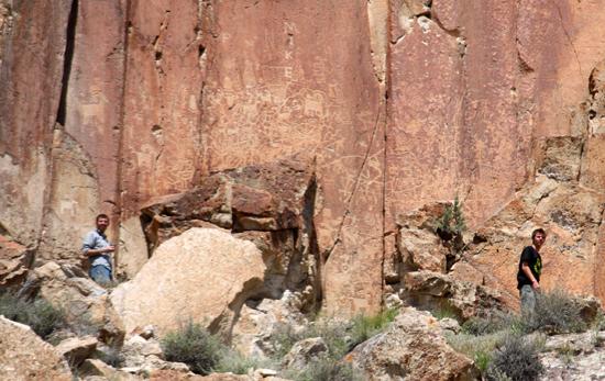
Park .6 miles west of the visitor center in a graveled area south of the frontage road where the park entrance sign is located. Above the talus slope in a shallow drainage, Hunkup's train (Panel 2) can be seen on a flat rock face on the west side. In some light conditions, this panel can be difficult to see.
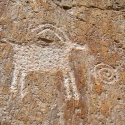
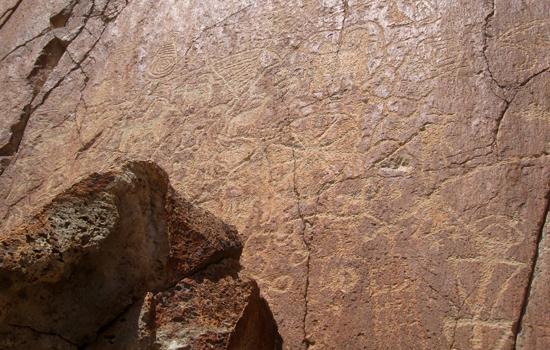
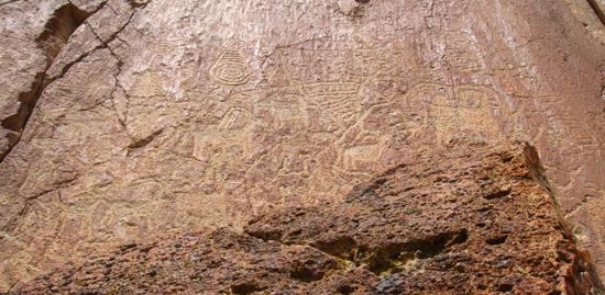
Hunkup was a Paiute from Kanosh. It was probably during the 1870s that Hunkup took a train east to Chicago to deliver cattle for a Richfield rancher. He chose this place, surrounded by drawings of the Fremont, to record his adventure. Unlike the Fremont though, Hunkup used a metal chisel. In the picture of the two trains, Hunkup tells in great detail what the trains can do, He shows that the trains are sitting on a track and that the track is needed for it to run on. The wheels of the cars are drawn in enough detail to be able to determine which side of the train that they are on. Each of the two trains have three cars: an engine, a freight or cattle car and a passenger car. Symbols between the cars indicate that the cars can be separated, The smoke trail shows that the train is moving. Specific information is given by the three men on the lower train. The man on top of the engine with his arms hanging down means that the train ran by itself. The stance of the middle person indicates that he is angry. He is displeased about a long wait for a transfer to another train. The last man is showing by the placement of his arms, that the train had toilet facilities.
Near the trains, Hunkup drew pictures of two story houses. Again he was very precise and showed the doors, windows, roof and chimneys with great detail. Another picture shows a house with a horse in it. This showed an interest in the animals living in houses too.
Time:
Fees: Entrance fee
Recommended Ages:
 | 0-3 |
 | 4-11 |
 | 12-19 |
 | 20-49 |
 | 50-69 |
 | 70+ |
Recommended Months to Visit:
| Jan |
| Feb |
| Mar |
| Apr |
| May |
| Jun |
| Jul |
| Aug |
| Sep |
| Oct |
| Nov |
| Dec |
Navigate to 38.576321, -112.346786.
Closest City or Region: Fremont Indian State Park, Utah
Coordinates: 38.576321, -112.346786
By Jeremy Dye
Jeremy Dye, Tara Dye, Savannah Dye, Greg Dye, Laura Dye, Ondylyn Wagner, Zac Dye,
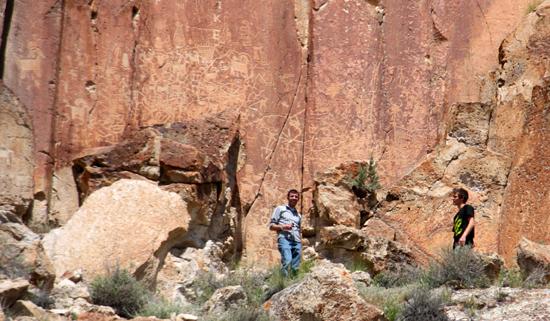
While visiting Fremont Indian State Park, we first stopped at the Rim Trail Viewpoints. We hiked up the hill to the base of the cliff to get a closer view of the rock art.
Geology of Fremont Indian State Park
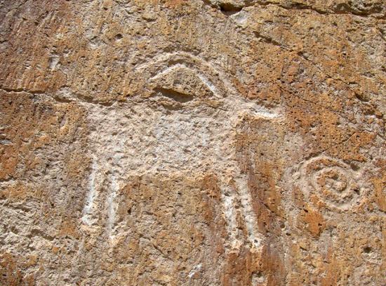
 Petroglyphs and Pictographs
 No Drinking Water
 Mountains
 No Restrooms
 Road Access is Paved
 Access Road is 2WD Accessible
 Viewpoint, Overlooks, Vistas
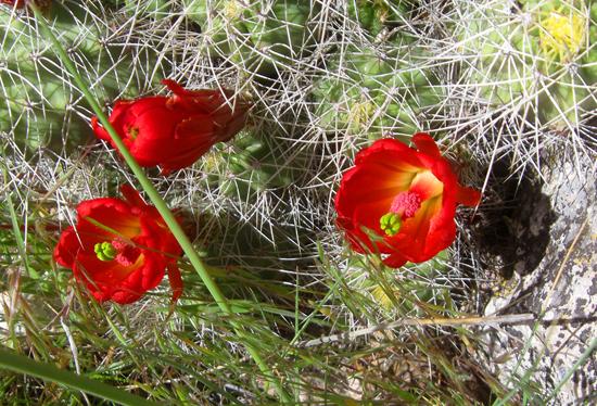
 Wildflowers and Vegitation
 Wildlife and Birding