 Fun Places | Potash Road Petroglyphs


Hype:
There are several petroglyph panels located along Highway 279 (Potash Road). They are likely from the Formative Period (1000 BC to 500 AD) or the Fremont (600 AD to 1300 AD)
Time:
Fees: None
Recommended Ages:
 | 0-3 |
 | 4-11 |
 | 12-19 |
 | 20-49 |
 | 50-69 |
 | 70+ |
Recommended Months to Visit:
| Jan |
| Feb |
| Mar |
| Apr |
| May |
| Jun |
| Jul |
| Aug |
| Sep |
| Oct |
| Nov |
| Dec |
Navigate to 38.552517, -109.594994.
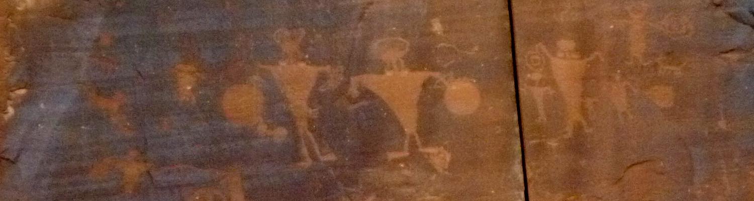
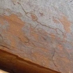
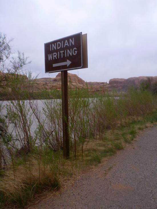
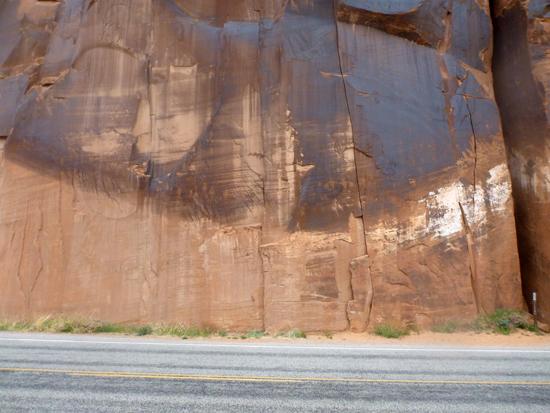
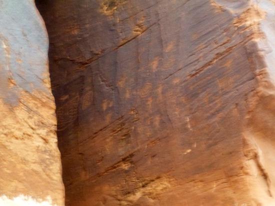
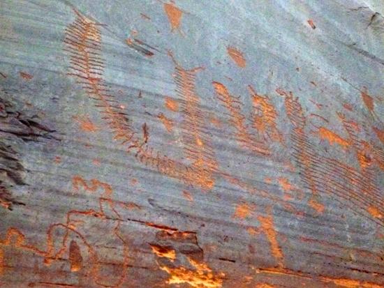
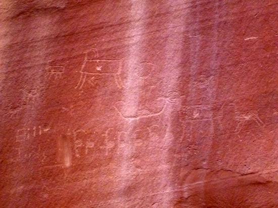
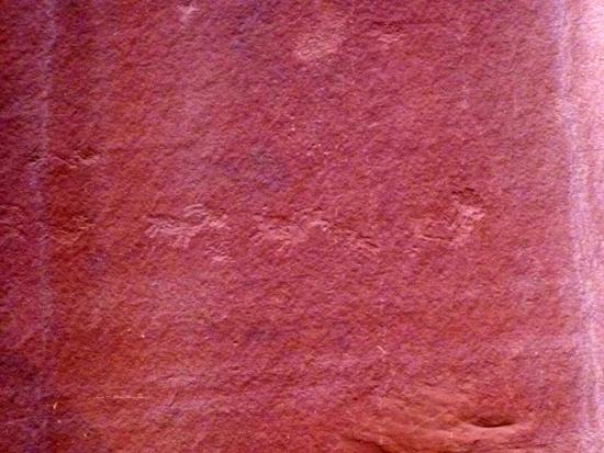
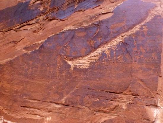
Along Potash Road to the west of Moab, UT are several rock art sites.
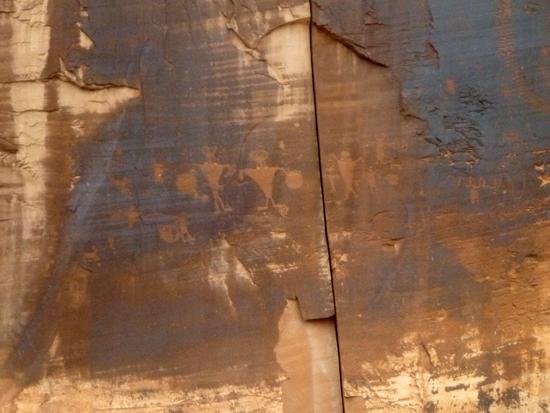
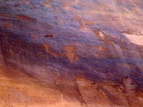
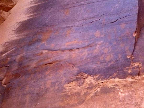
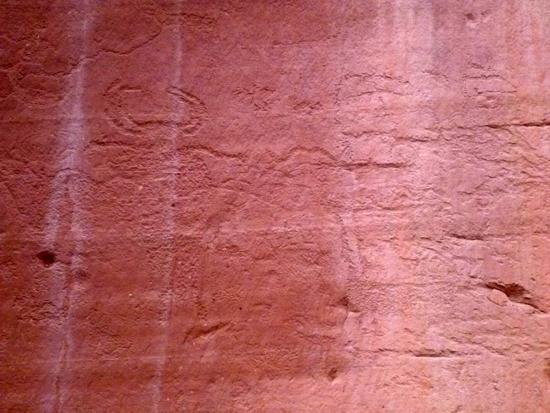
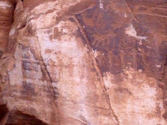
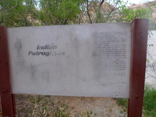
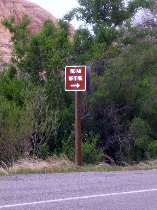
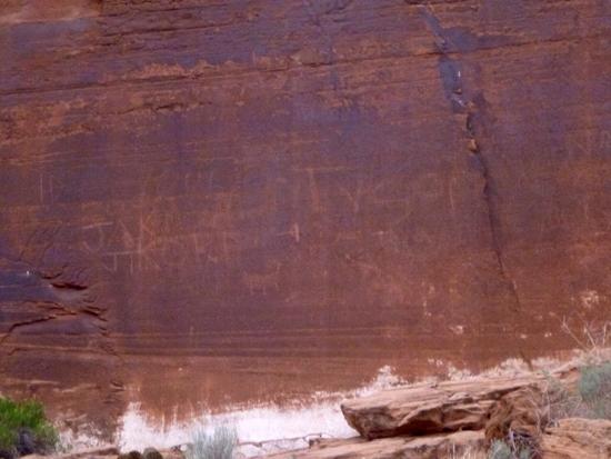
Some of the sites have signs pointing them out. The first site is located at 38?33'9.06"N, 109?35'41.99"W. The petroglyphs are located on the cliffs to the north of the road. The lighter rock at the bottom used to be underground before the road was constructed.
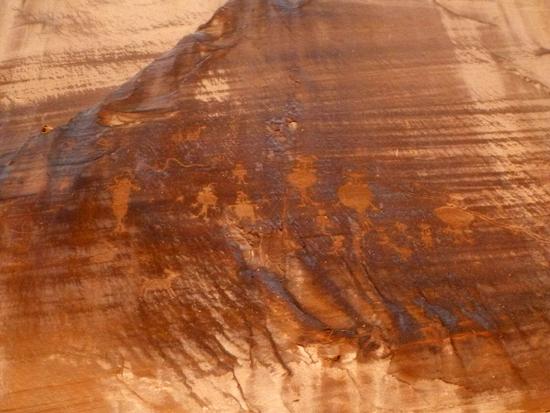
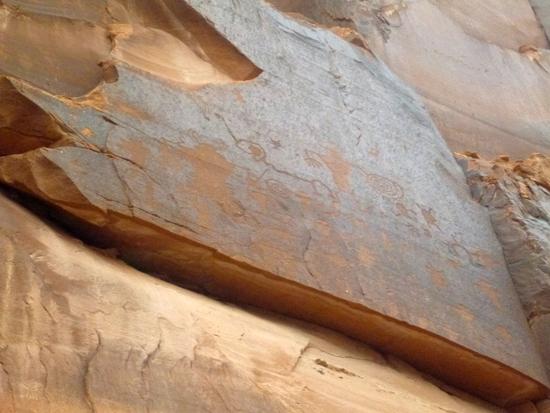
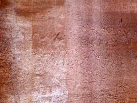
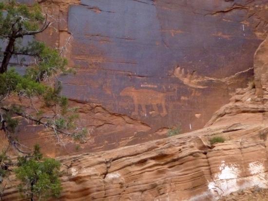
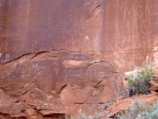
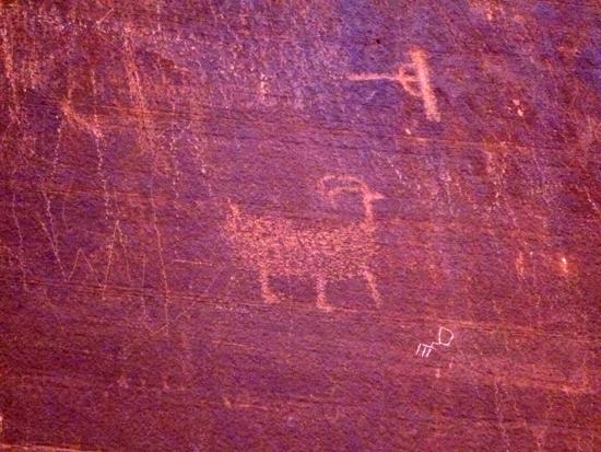
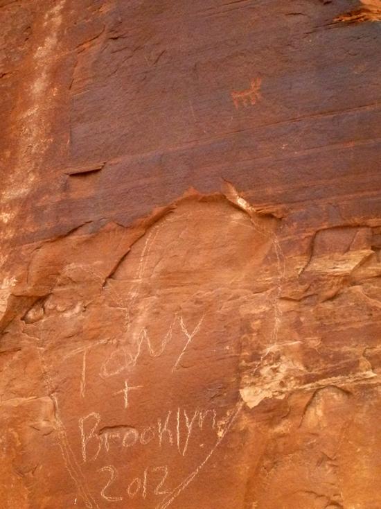
The second panel is located at 38?32'39.93"N, 109?36'1.23"W. This petroglyph panel features a large animal that looks like a bear and several smaller bighorn sheep and other animals. And lots of gringoglyphs. The only part of this wall that appears to be older than a hundred years is a sheep
By Jeremy Dye
Jeremy Dye, Tara Dye, Savannah Dye, Zac Dye, Bryce Ball,
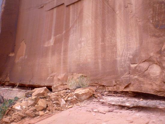
We stopped and explored many of the rock art panels along Potash Road. I'm sure we only saw a fraction of the rock art.
Brides Canyon Designated Dispersed Campsites
Granary Canyon Primitive Camping
Grandstaff Canyon to Morning Glory Arch
 Petroglyphs and Pictographs
 No Fires
 Rivers and Streams
 Mountains
 No Restrooms
 Road Access is Paved
 Access Road is 2WD Accessible
 Viewpoint, Overlooks, Vistas
 Wildlife and Birding