 Hiking | Sheep Shelter Hike


Hype:
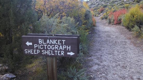
The parking area 1.5 miles east of the visitor center will give you access to three rock art sites. They are Sheep Shelter, the Indian Blanket and the Water & Emergence Panel. Each of these sites are worth exploring.Trail Condition: Class 0 (Trail is paved. No elevation gain.)
Time: 1 hour
Length: 0.4 miles round trip
Fees: Entrance fee
Recommended Ages:
 | 0-3 |
 | 4-11 |
 | 12-19 |
 | 20-49 |
 | 50-69 |
 | 70+ |
Recommended Months to Visit:
| Jan |
| Feb |
| Mar |
| Apr |
| May |
| Jun |
| Jul |
| Aug |
| Sep |
| Oct |
| Nov |
| Dec |
Navigate to 38.579865, -112.308281.
The parking area 1.5 miles east of the visitor center will give you access to three rock art sites. They are Sheep Shelter, the Indian Blanket and the Water & Emergence Panel. Each of these sites are worth exploring.
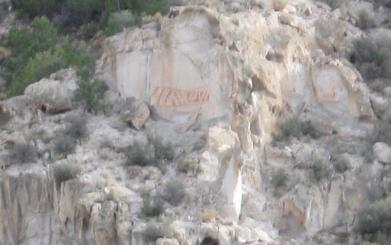
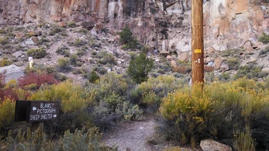
Directions to Indian Blanket Viewpoint- from the parking area go up the steps to the four trail crossing point. Go left and then go left again when you see the view benches.
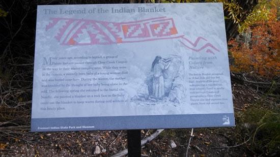
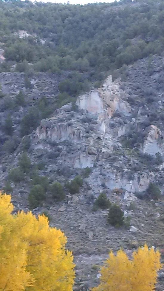
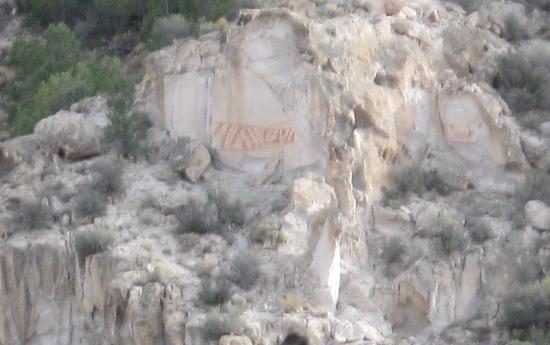
The Indian Blanket is located straight in front of you on the far wall of the canyon about 150 feet above the canyon floor. To the right of it on another face is a second smaller blanket. The blanket is made up of a rectangular area of interlocking frets with sawtooth fringes and two parallel zigzag lines. It is a pictograph using reddish/orange paint. The blankets approximate size is 16 feet long and 4 feet high. The panels show similarity to smaller pictograph blankets found in the park. An analysis of the paint indicates that the paint was non-organic and is similar to minerals in outcrops near the blankets. The paint was dated as being about 250 years old. If this date is correct, possibly the artists were a band of Paiutes called the Pahvant. The Pahvant band assimilated with the Kanosh band and no longer is recognized as a group.
Many years ago a group of Indians passed through Clear Creek Canyon on the way to their winter camping area. While in the canyon the new baby of a young Indian girl died and was buried near the site of the blanket pictograph. During the winter the mother could not get the thought of her baby being alone in the winter cold out of her mind. The next spring she made preparations and returned to Clear Creek Canyon and painted the blanket for her lost baby to use in the future cold winters to keep away the cold. (The source of this story is residents of the towns near the park, not the Paiute.)
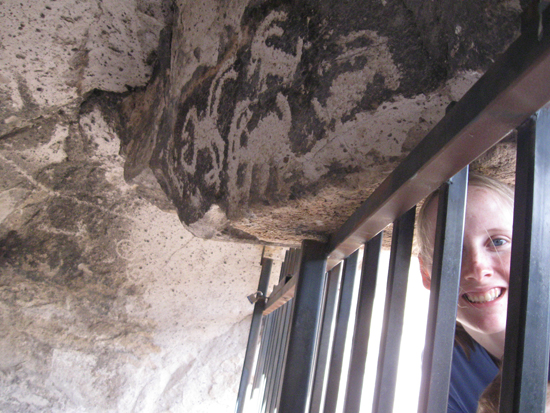
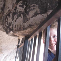
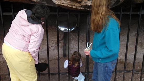
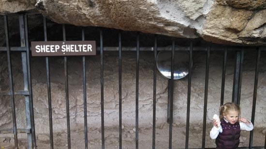
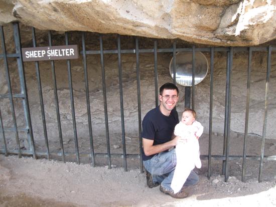
Directions to Sheep Shelter- return to the four trail crossing and turn left towards the cliffs
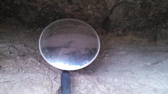
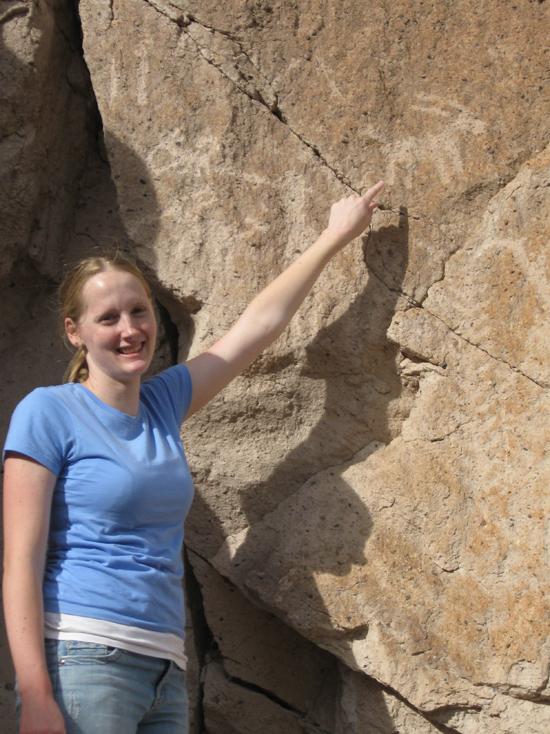
Although other peoples used the shelter, the rock art at Sheep Shelter seems to be Fremont. The excavation of the shelter and adjacent area to the south revealed evidence of human occupation to a level of 7 feet below the present surface. A hearth at the bottom level was used about 3700 B.C.. The layers above it showed occasional use from the Archaic through the Fremont period. The petroglyphs in Sheep Shelter show Fremont figures. On the back wall is a line that extends the entire width of the shelter. The panel on the lip of the ceiling seems to be a hunting scene possibly observed from Sheep Shelter and drawn in a place where the area drawn could be seen. The desert big horn sheep seem to be grazing at the canyon bottom, except for one that is drinking in the creek and can be seen with its reflection.
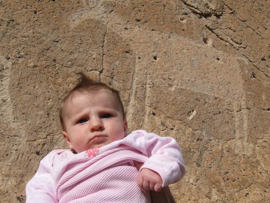
From the entrance of Sheep Shelter there is another panel on a cliff face to the west. This panel seems to be much like other hunting scenes in Clear Creek Canyon. The line with the four dots on one end above it is possibly showing the weapon used in killing the animals and is a picture of an atlatl without the spear. The meandering line is possibly a map showing the location of Sheep Shelter.

Directions to Water & Emergence Continuations Panels- Return to four trail crossing and turn right. Go about 0.2 miles to the panels.
The two panels on the right continue the emergence story in a way that is very similar to the Hopi legends: After all the good Hopis came out of the reed it was cut down with the guards (One-horned priests, eagle and hawk) remaining below to watch. Upon their arrival the chiefs daughter died due to witchcraft. The witch was identified. She told the chief to look back down into the underworld where he found his daughter living happily. It is there in the underworld where upon death all Hopis return. The god of this land caused the sea to rise up and cover the place of emergence to hide it and close it to be regarded with fear so no one could return to it until they died.
Notice how visible the reed is in these panels.
The figure on the left holds the Badger Clan symbol in its left hand. It is upside down to indicate that the Badger Clan is not dead. This symbol is considered to be very important, because the Hopi claims that the symbols used identifies the author as a member of the Badger Clan. The Badger Clan is a family group of the Hopi that continues today and still uses a similar symbol for identification. The rest of the panel is an indication of water. This is shown by the concentric circle to the right of it. The water is located in a depression in a rock, that is shown by the natural hole that is over the sheep's back and also the cup shape of the bottom of the concentric circle. The figure to the far right indicates that one must lie down to drink water. A water source like the one described has been found within 500 yards of this panel. At the request of the Paiutes, the location will not be revealed. For your safety, please return to your car on the trail on which you came and not on the frontage road.
Closest City or Region: Fremont Indian State Park, Utah
Coordinates: 38.579865, -112.308281
By Jeremy Dye
Jeremy Dye, Tara Dye, Savannah Dye, Madilyn Dye, Laura Stingley, Melissa Kirkham, Shaun Kirkham, Jacob Kirkham, Kylie Kirkham, Kate Kirkham,
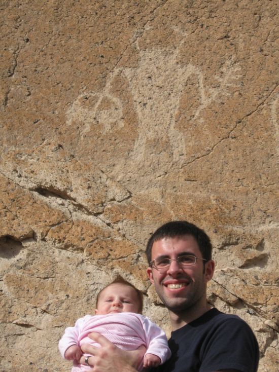
Laura and the Kirkhams came to visit us on their way to Disneyland. We decided to visit Fremont Indian State Park together. While we were there, we did the Sheep Shelter Hike.


By Jeremy Dye
Jeremy Dye, Tara Dye, Savannah Dye,
We picked up a trail guide at the visitor center and hiked around several of the trails in the park.


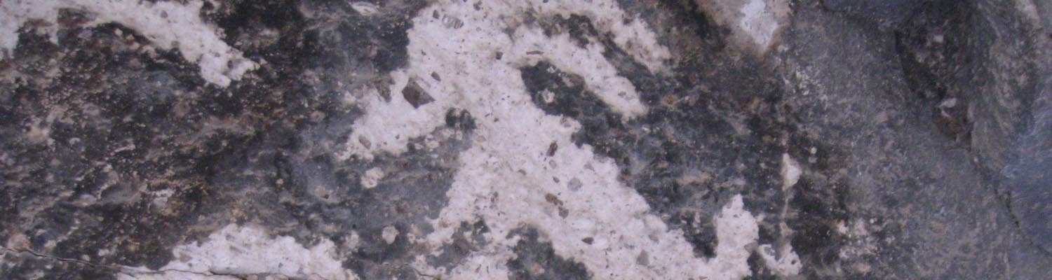
Geology of Fremont Indian State Park
 Petroglyphs and Pictographs
 Hiking Trails
 Road Access is Paved
 Access Road is 2WD Accessible