 Hiking | Cave of 100 Hands Hike


Hype:
This short walk will take you to a cave that is an unforgettable part of the experience of visiting Clear Creek Canyon.
Trail Condition: Class 2 (Trail may have tree roots or rocks jutting out. Navigation skills may consist of following rock cairns and choosing turns at junctions. Elevation gains may be more substantial.)
Time: 1 hour
Length: 1.2 miles round trip
Elevation Gain: 40 ft
Fees: Entrance fee
Recommended Ages:
 | 0-3 |
 | 4-11 |
 | 12-19 |
 | 20-49 |
 | 50-69 |
 | 70+ |
Recommended Months to Visit:
| Jan |
| Feb |
| Mar |
| Apr |
| May |
| Jun |
| Jul |
| Aug |
| Sep |
| Oct |
| Nov |
| Dec |
Navigate to 38.578510, -112.330612.
Stop on the bridge and look at Clear Creek. In this part of the park the creek was rerouted when I-70 was built, so this is not its natural bank. Clear Creek looks different from season to season. In the spring, during runoff, it is flooding and muddy. During summer and fall it is tranquil and has good fishing. Although much of the creek has been modified, it is important to preserve and protect this resource.
Notice the wide dirt banks on both sides of Clear Creek as it goes under I-70. The overpass was designed this way to make it so that I-70 would not disturb the migration patterns of deer. Do you see any deer foot prints? When were they here last? Go under the second bridge and look back up at it. After the bridges were finished, some of the swallows in the canyon abandoned their nests in the cliffs and built new ones on the steel girders of the new bridges. They seem happy here. Do not bother the birds or the nests. This accommodation for wildlife was not intentionally designed.
Here on the south side of the canyon, where there is less sun light because of the high cliffs, there is a different ecosystem. In Clear Creek Canyon, it is rare to see the vegetation as lush as it is here. Be careful of the stinging nettle.
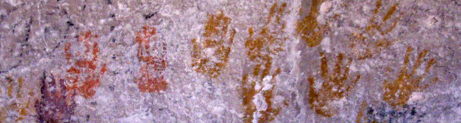
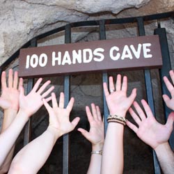
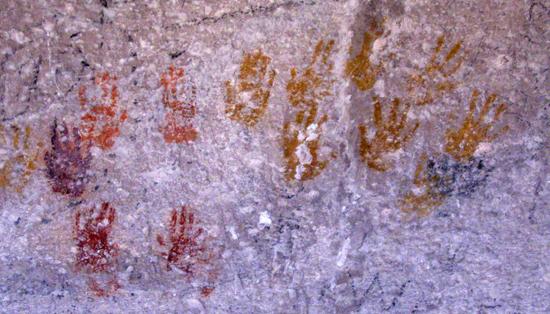
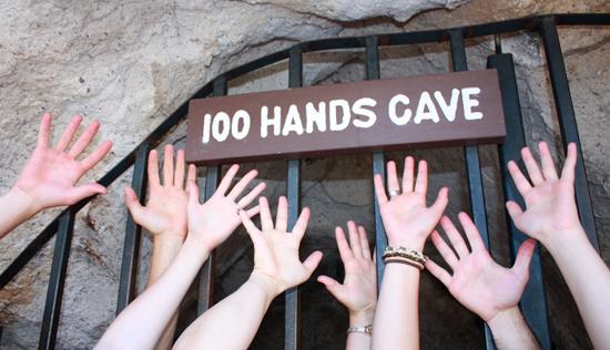
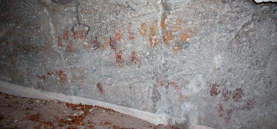
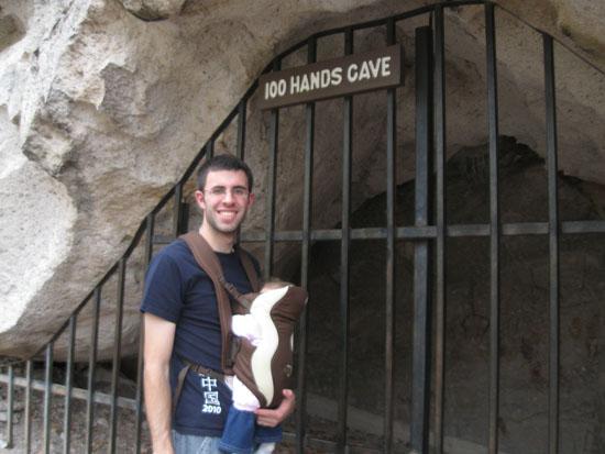
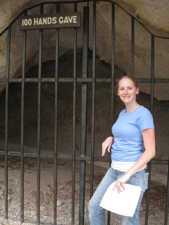
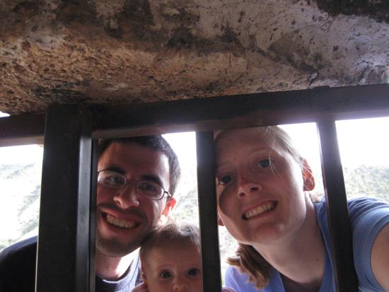
The 31 hand prints and other pictographs in this cave are irreplaceable. The bars are to prevent further defacing by members of your species. This natural overhang is a maximum of 23 feet wide, 7 feet high and 10 feet deep. Excavations in the cave found evidence of use during the occupation of nearby Five Finger Ridge, but no structures. The 31 hand prints were executed by applying pigment to the hand and then pressing the hand against the rock wall. The three colors of paint used was reddish/orange, ox-blood red and mustard orange. The prints vary in size and appear to be from a number of people. Fourteen are from the right hand, sixteen are from the left hand and one is undetermined.
The over grown area, directly in front of the cave, is the location of a natural spring. Water from a headhouse that once was here was piped across Clear Creek to a home that was next to the Centennial Cabin. In front of the house was a water pipe that always flowed and was a favorite stop for travelers coming through the canyon.
Closest City or Region: Fremont Indian State Park, Utah
Coordinates: 38.578510, -112.330612
By Jeremy Dye
Jeremy Dye, Tara Dye, Savannah Dye, Greg Dye, Laura Dye, Ondylyn Wagner, Zac Dye,
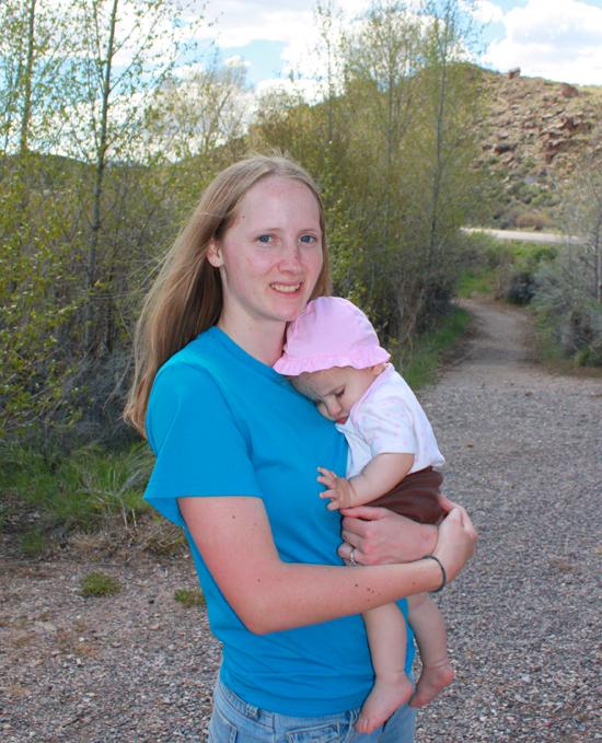
We all took a quick hike up to the Cave of 100 Hands.


By Jeremy Dye
Jeremy Dye, Tara Dye, Savannah Dye,
We picked up a trail guide at the visitor center and hiked around several of the trails in the park.
Geology of Fremont Indian State Park
 Petroglyphs and Pictographs
 Hiking Trails
 Marked Trails
 Road Access is Paved
 Access Road is 2WD Accessible
 No Drinking Water
 Rivers and Streams
 Mountains
 Viewpoint, Overlooks, Vistas
 Wildflowers and Vegitation
 Wildlife and Birding