 Hiking | Lower Calf Creek Falls Hike


Hype:
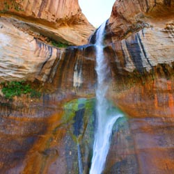
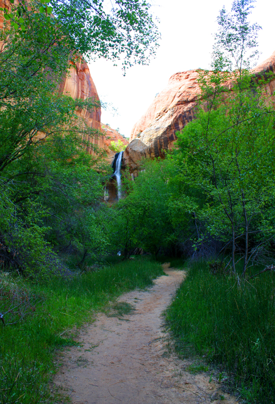
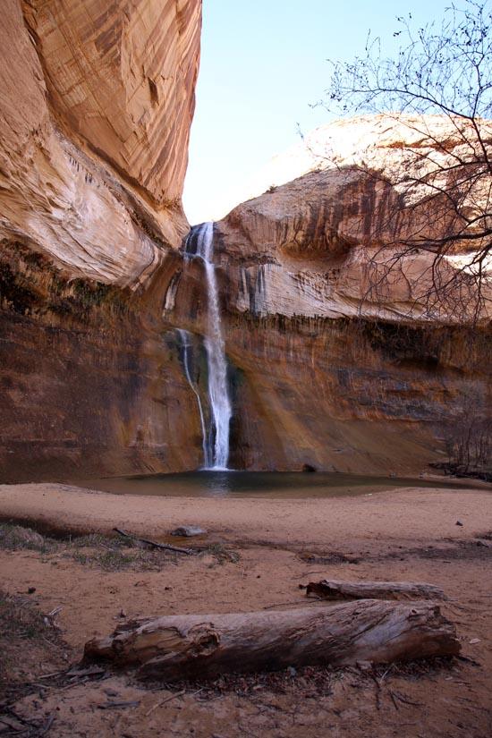
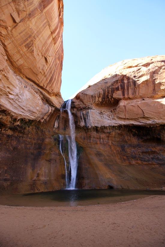
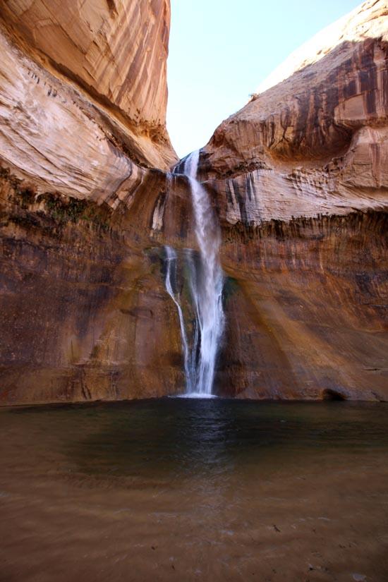
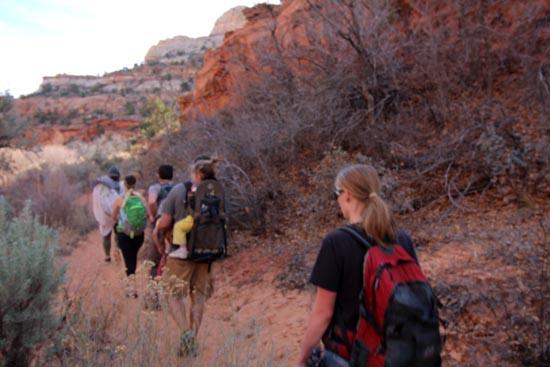
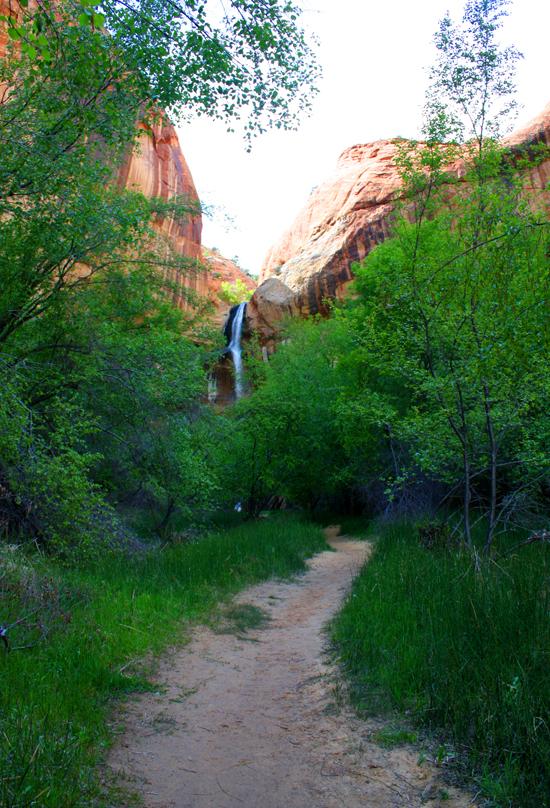
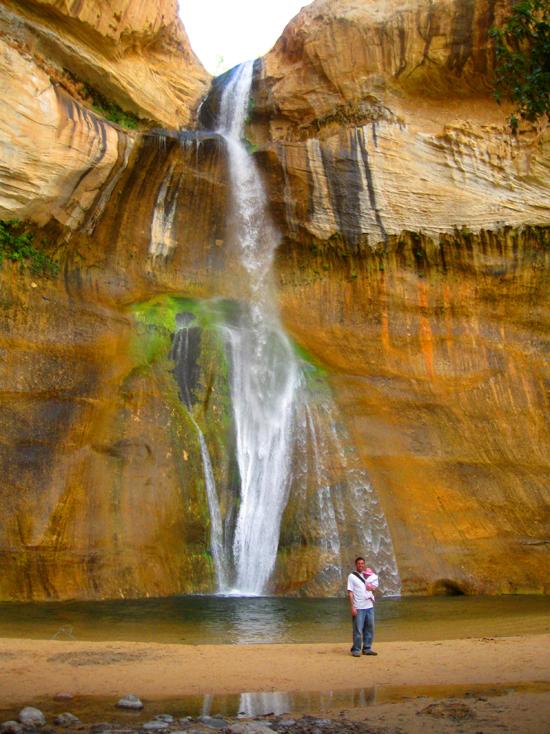
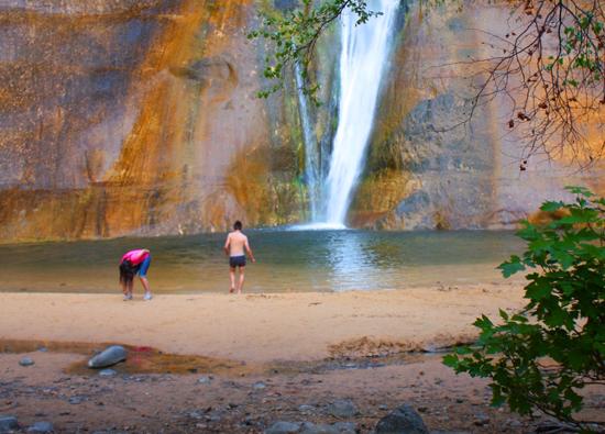
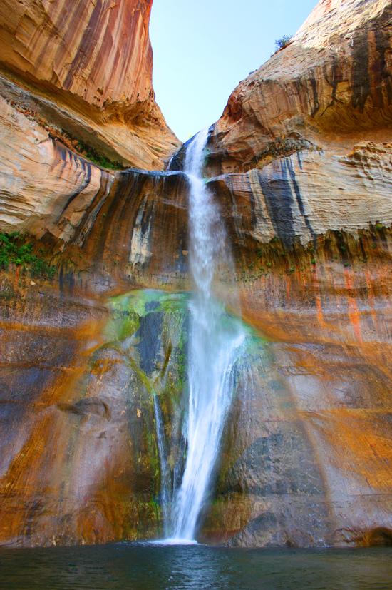
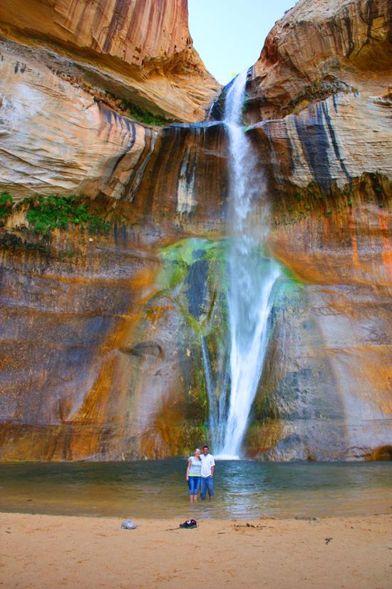
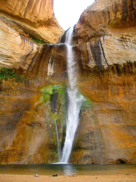
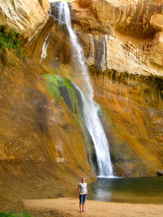
Lower Calf Creek Falls is one of the most well known and unique features in Grand Staircase-Escalante National Monument. The trail follows Calf Creek to the 126'-high falls. The hike is 6 miles round trip and takes hikers 3-4 hours. Elevation change on the trail is minimal, but the trail is sandy. In contrast, the falls provide a delightfully cool, shady haven which makes the hike well worth the effort.
Trail Condition: Class 2 (Trail may have tree roots or rocks jutting out. Navigation skills may consist of following rock cairns and choosing turns at junctions. Elevation gains may be more substantial.)
Time: 3-5 hours
Length: 6 miles round trip
Elevation Gain: 180 ft
Fees: Parking, camping
Recommended Ages:
 | 0-3 |
 | 4-11 |
 | 12-19 |
 | 20-49 |
 | 50-69 |
 | 70+ |
Recommended Months to Visit:
| Jan |
| Feb |
| Mar |
| Apr |
| May |
| Jun |
| Jul |
| Aug |
| Sep |
| Oct |
| Nov |
| Dec |
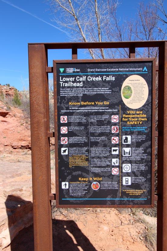
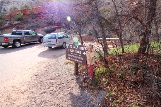
Navigate to 37.793762, -111.414825.
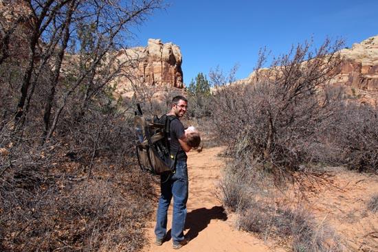
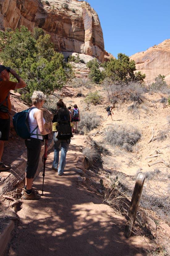
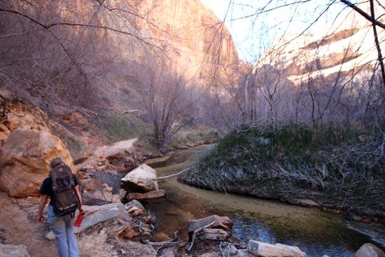
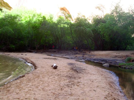
Welcome to Calf Creek! The year-round flow of the creek begins several miles up canyon with large seeps and springs. Water is the key to survival here and this lush riparian habitat supports an abundance of plant and animal life. People have also depended on the life-giving waters of Calf Creek for thousands of years.
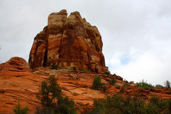
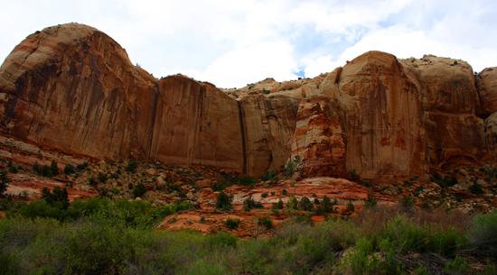
Water forms canyons. Over millions of years, the creek has carved its way deeper and deeper into its channel. Meanwhile, rain water flowing over cliffs and down slopes along the sides of the canyon erodes sand grains, pebbles, rocks, and boulders, gradually widening the canyon. Major erosion and sediment transport occurs when flash floods from summer thunderstorms roar down the canyon. Water and wind erosion also forms arches, alcoves, intricate honeycombing, and water pockets. Look around you and observe the wonders of water and wind at work.
Sometimes there are ponds and marshy areas along the creek formed by beaver dams. Beavers and industrious, sometimes building large and extensive dams. Beaver dams help control flooding, reduce siltation downstream, and provide habitat for mature fish. Insects, frogs, and birds are attracted to these wetland areas, and a variety of ducks can be observed here.
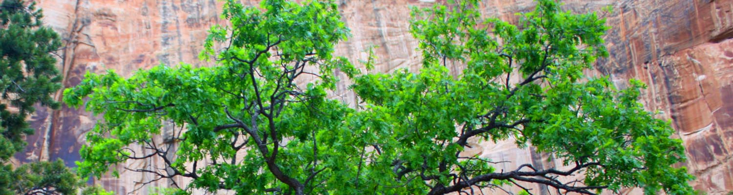
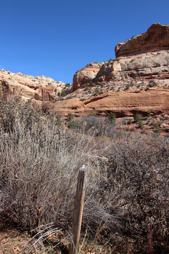
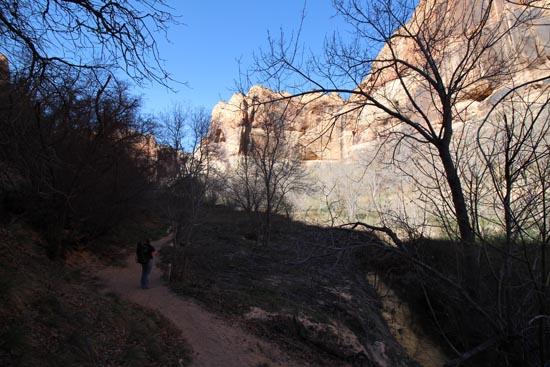
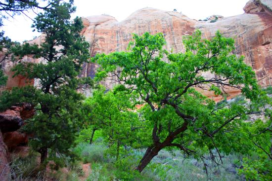
Gambel oak is an upland species. In high desert areas it is often found in cool, shady locations. The twigs, leaves, and acorns provide important food for wildlife, especially deer and turkeys.
You wouldn't know it looking at Calf Creek today, but in the early 1900s a local farmer grew watermelons here along the banks of the creek. They were said to be "the best melons in Boulder." Floods and native vegetation, however, have removed all signs of this agricultural venture.

High on the cliff across the creek is a storage structure (granary) built more than 800 years ago by prehistoric people who lived in the canyons. We call this culture the Fremont. Assorted food items and seeds were stored in these structures. What would it have been like to be a Fremont Indian living in this canyon?

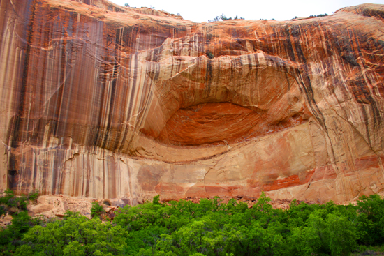
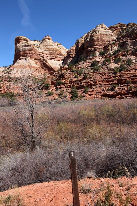
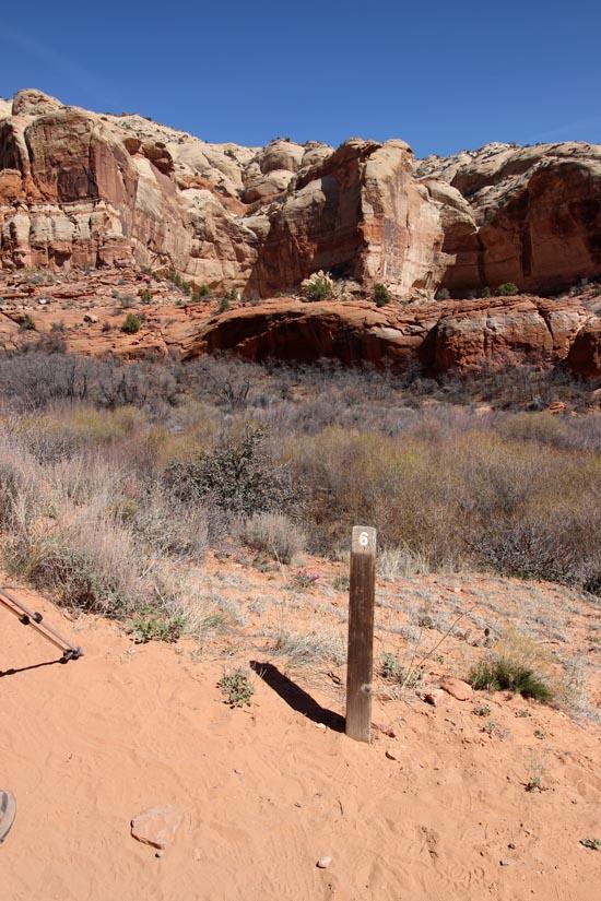
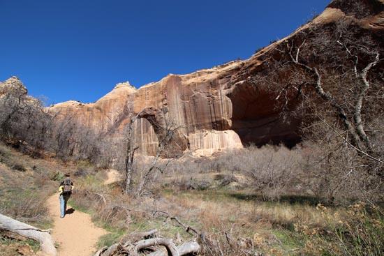
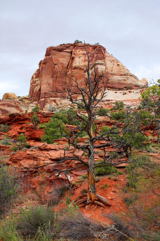
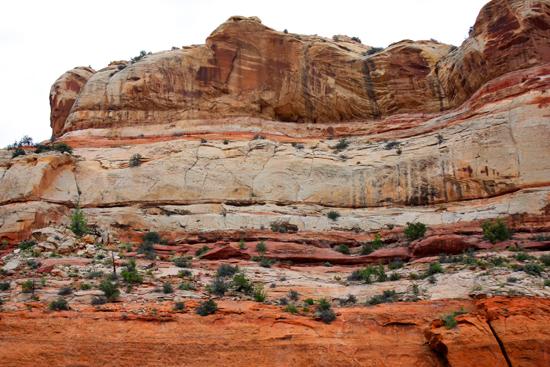
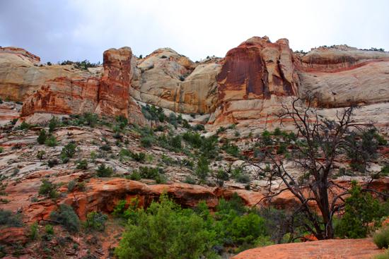
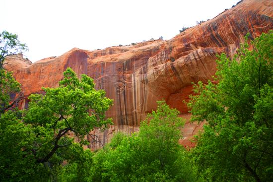
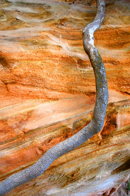
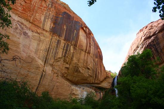
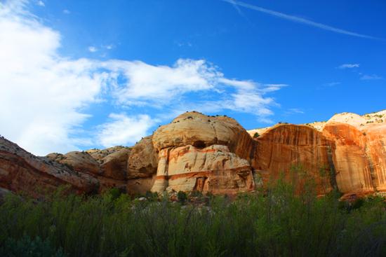
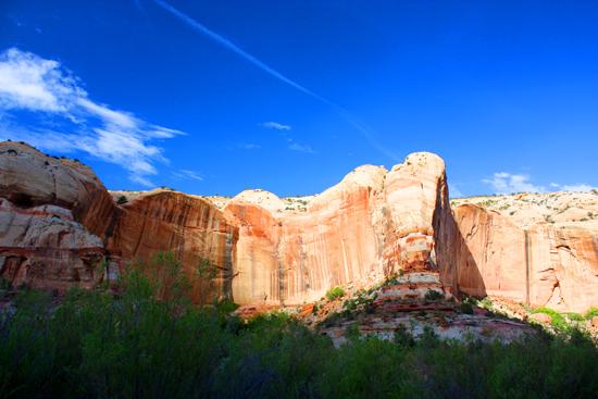
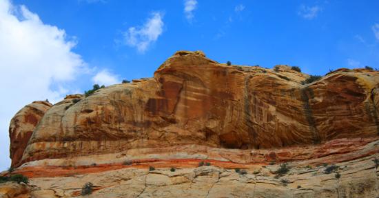
Millions of years ago a huge Sahara-like desert covered this area. Sand dunes hundreds of feet high drifted back and forth. The wind-blown sand of this former desert is now Navajo Sandstone. It is the predominant geologic layer found in Calf Creek Canyon and is a cliff-forming layer usually white in color. The dark streaks on the canyon walls are called desert varnish. It forms when windblown dust or rain leave behind trace amounts of iron and manganese. Rainwater combines with these minerals to create oxides, leaving behind the reddish-brown to black patina on the cliff walls. Bacteria growing on the cliff faces also contribute by concentrating these minerals and cementing the oxides to the rock surface. Over time, as desert varnish ages, it becomes thicker and darker.

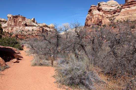
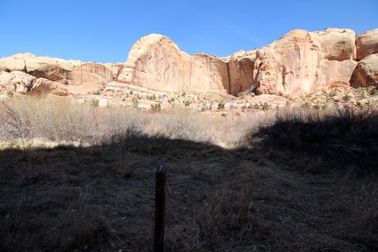
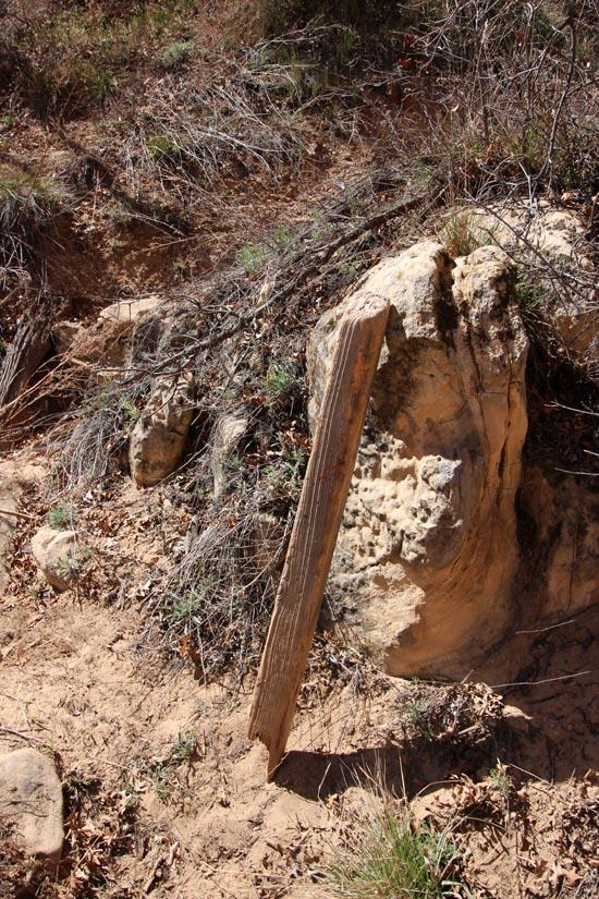
The old fence line is a reminder of the historic use of Calf Creek Canyon by early pioneers. Weaned calves were kept in the natural pasture created by the box canyon above the fence, hence the name "Calf Creek."

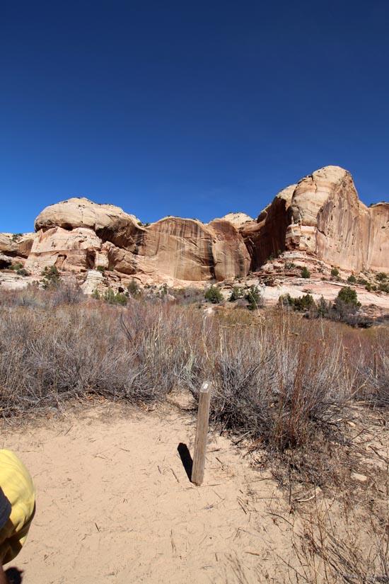
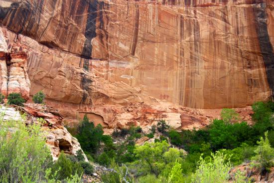
Across the canyon, near the bottom of the smooth cliff wall, are three large figures painted with red pigment - further evidence that people have used Calf Creek for hundreds of years. (Pictographs are painted images while petroglyphs are carved or pecked into the rock surface.) With their trapezoidal shape, depictions of arms and legs, and elaborate head dresses, these images are typical of Fremont style rock art. Their meaning is unknown. Archaeologists speculate that it may represent significant events, religions ceremonies, deities, lineages, information, maps, or even warnings. Rock art, like all archaeological sites, are a limited resource. Once they are damaged or destroyed they are gone forever. Please help protect and preserve this link to our past. Look, but never touch or damage rock art or prehistoric structures. These activities result in the loss of valuable scientific information and cultural connections.
Straight ahead on the right-hand wall of this side canyon is another storage granary. The Fremont people grew corn, beans, and squash along creeks and river bottoms, but more often they relied on gathering native plants, pinyon nuts, berries, and seeds. They also fished and hunted deer, bighorn sheep, and other small mammals.
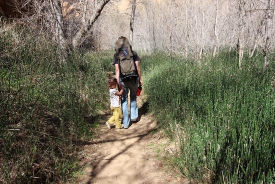
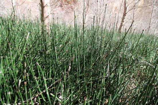
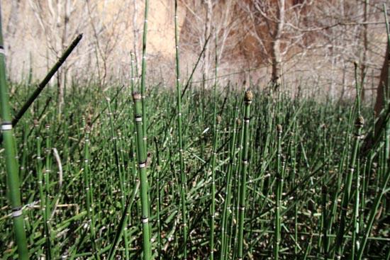
Horsetail is a jointed plant found only in wet areas. Pioneers called is scouring rush and used to scrub pots and pans. Boxelder, and member of the maple family, is the predominant tree in the canyon. Reaching a height of 50 feet, it grows rapidly in wet places. It provides bank stabilization for the creek and amble shade for both people and wildlife.
Stop for a few minutes. Relax and listen. How many different bird calls do you hear? Many bird species find the lush vegetation and abundant water ideal habitat. Look for hummingbirds, ravens, spotted-towhees, peregrine falcons, and American robins. During spring and fall, many birds stop here on their migration routes. Is something rustling in the leaves? Lizards, mule deer, ground squirrels, coyote, porcupine, and mountain lion are just a few of the many animals that live in the canyon. Do you hear the wind? Even during the short time you have been listening, sand grains have been blown off the cliff and slopes and the process of erosion slowly continues. Is there only silence? Listen and enjoy.
The creek is the life force within the canyon. It provides life-sustaining water for the plants and animals here. Aquatic plants, insects, and fish make their home within the creek itself. Brook brown and rainbow trout can often be seen resting on the creek bottom or darting in and out of hiding spots under vegetation along the creek bank.
Wetlands are one of the most productive and important ecosystems, displaying a greater abundance of plant and animal life than adjoining upland areas. A healthy riparian zone filters and purifies the water passing through it, reduces sediment loads, enhances soil stability, and contributes to ground water recharge and flow. Cattail, common reed, river birch, cottonwood, false Solomon?s seal, and willow are all water-loving plants you may see in the canyon.
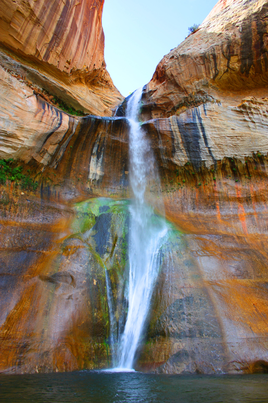
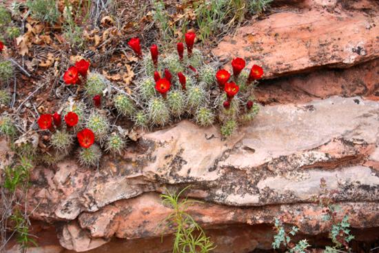
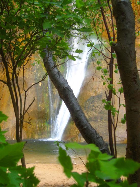
Mist from the falls and shade from the canyon walls keep the temperature cooler here. Look for scarlet monkey flower, Easter flower, and maiden hair fern growing near seeps in the cliff walls. Close your eyes and listen to the sounds of water and wind. Feel the mist on your face. Imagine how different this canyon and your hike would be without the creek. Water is precious in the desert. Water is life.
Closest City or Region: Grand Staircase-Escalante National Monument, Utah
Coordinates: 37.793762, -111.414825
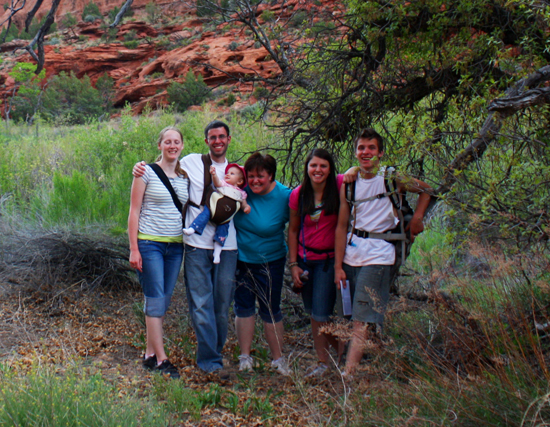
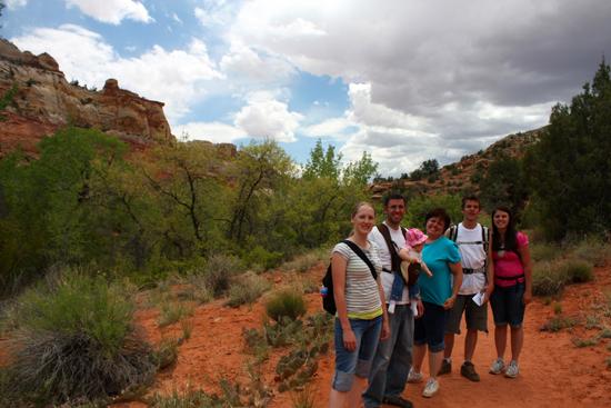
By Jeremy Dye
Jeremy Dye, Tara Dye, Savannah Dye, Madilyn Dye, Cooper Dye, Anthony Dye, Arianne Dye, Miller Dye, Brenen Dye, Shaylin Dye,
By Jeremy Dye
Jeremy Dye, Tara Dye, Savannah Dye, Greg Dye, Laura Dye, Ondylyn Wagner, Zac Dye,


Big Hollow Wash Primitive Camping
Chimney Rock Primitive Camping
Early Weed Bench Primitive Camping
Jacob Hamblin Trailhead Primitive Camping
Micro Death Hollow Primitive Camping
Skutumpah Road Primitive Camping
Zebra and Tunnel Trailhead Camping
Dry Fork Narrows of Coyote Gulch
Big Hollow Wash Primitive Camping
Chimney Rock Primitive Camping
Early Weed Bench Primitive Camping
Escalante River Primitive Camp 1
Escalante River Primitive Camp 2
Fence Canyon Primitive Camping
Jacob Hamblin Trailhead Primitive Camping
Micro Death Hollow Primitive Camping
Zebra and Tunnel Trailhead Camping
Dry Fork Narrows of Coyote Gulch
Early Weed Bench to Escalante River
Escalante River to Early Weed Bench
Escalante Interagency Visitor Center
 Petroglyphs and Pictographs
 Structures, Ruins, Dwellings
 Waterfalls
 Non-potable Water - filterable
 Rivers and Streams
 Mountains
 Marked Trails
 Restrooms - Vault
 Road Access is Paved
 Access Road is 2WD Accessible
 Interpretive Signs
 Viewpoint, Overlooks, Vistas
 Hiking Trails
 Swimming - Outdoor
 Wildflowers and Vegitation
 Wildlife and Birding