 Hiking | Signal Hill Petroglyphs Hike


Hype:
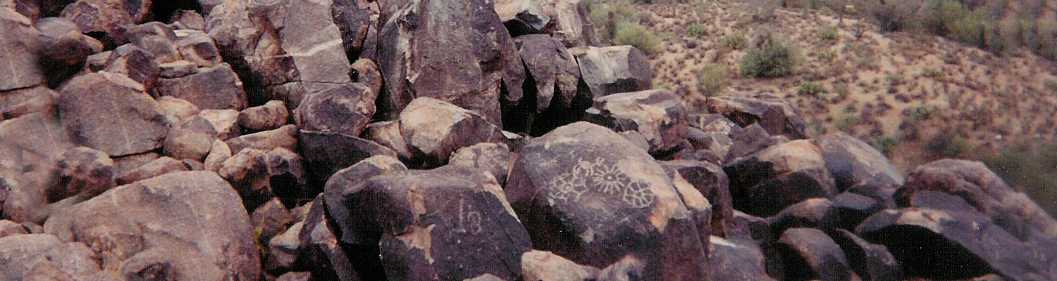
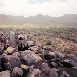
The hike to Signal Hill Petroglyphs is very short but rewarding. Atop the hill, you will find several petroglyphs created by the Hohokam Indians between 700 and 1300 years ago. Signal Hill is surrounded by saguaro cacti, from which Saguaro National Park gets its name.
Trail Condition: Class 1 (Trail is either paved or gravel. Navigation skills are not needed because there is only one trail or because there are signs. Elevation gains are gradual or there are stairs.)
Time: 30 minutes
Length: 0.2 miles round trip
Fees: Entrance fee
Recommended Ages:
 | 0-3 |
 | 4-11 |
 | 12-19 |
 | 20-49 |
 | 50-69 |
 | 70+ |
Recommended Months to Visit:
| Jan |
| Feb |
| Mar |
| Apr |
| May |
| Jun |
| Jul |
| Aug |
| Sep |
| Oct |
| Nov |
| Dec |
Navigate to 32.289982, -111.208931.
Closest City or Region: Saguaro National Park, Arizona
Coordinates: 32.289982, -111.208931
By Jeremy Dye
Laura Dye, Jeremy Dye, Anthony Dye, Ondylyn Wagner, Zac Dye, Jeff Wilson, Brianna Wilson,
_550w.jpg)
_550w.jpg)
_550w.jpg)
_550w.jpg)
 Petroglyphs and Pictographs