 Hiking | Fairy Falls Hike


Hype:
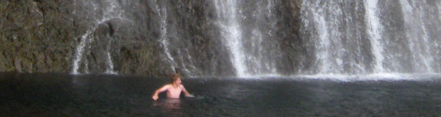
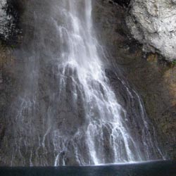
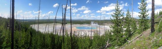
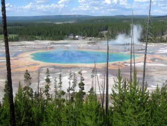
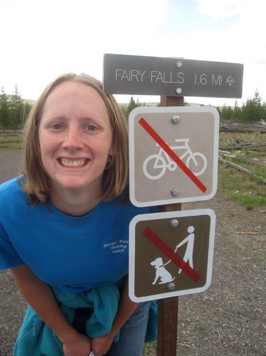
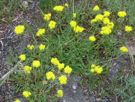
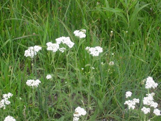
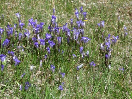
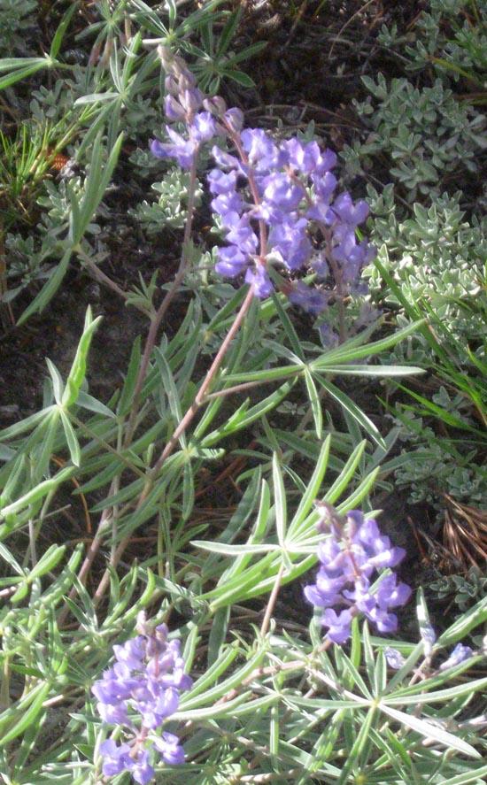
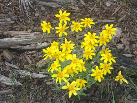
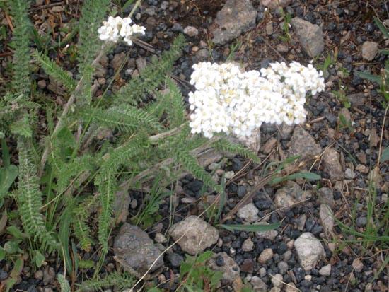
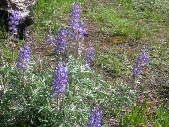
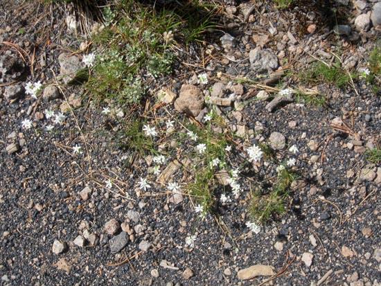
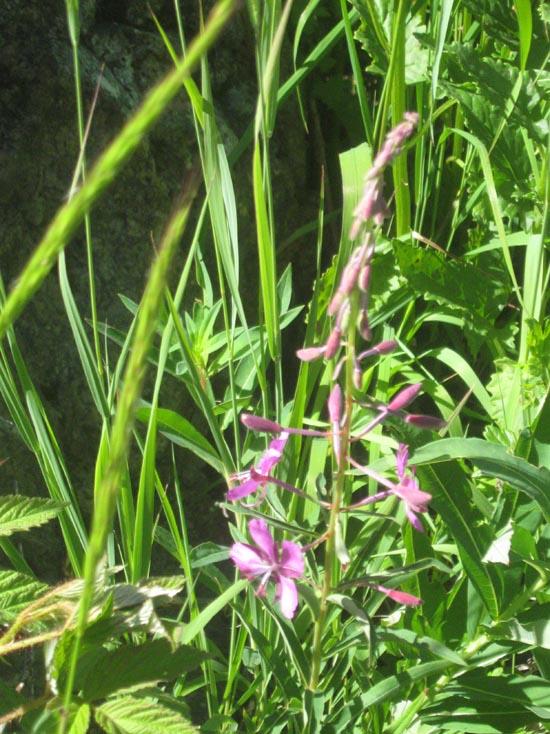
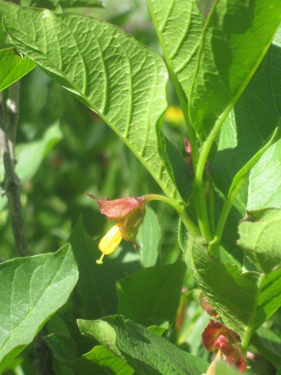
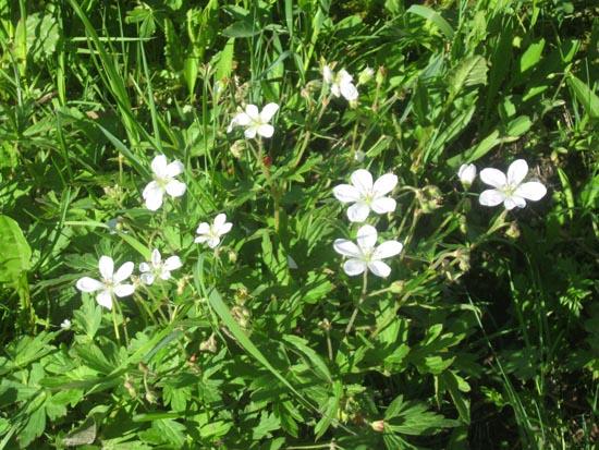
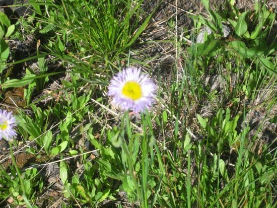
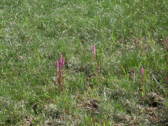
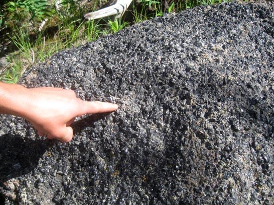
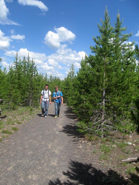
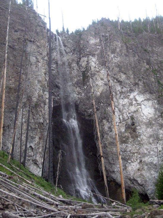
The hike to Fairy Falls is very easy despite its length. The trail passes Grand Prismatic Spring, and short detour scramble up a hill offers a spectacular view of the spring. Along the hike are tons of wildflowers, obsidian, lodgepole pines, and other wildlife. Fairy Falls is 197 ft tall.
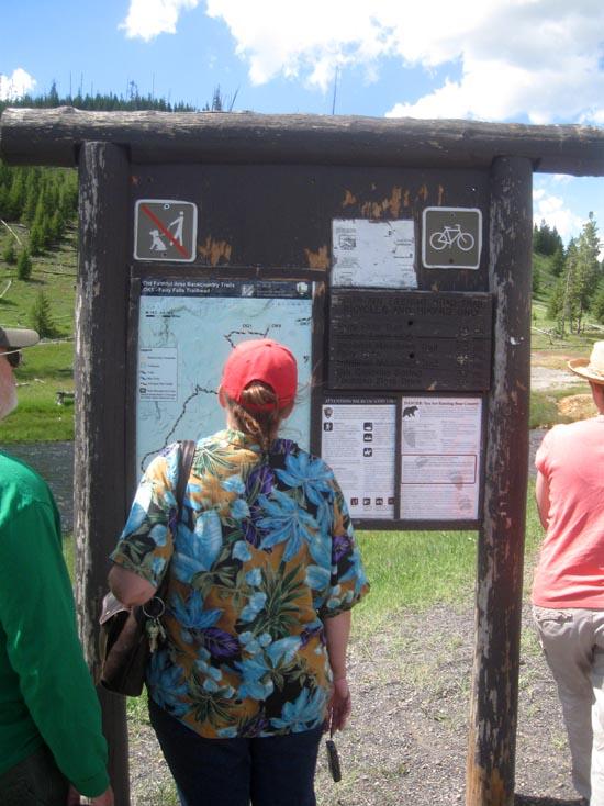
Trail Condition: Class 2 (Trail may have tree roots or rocks jutting out. Navigation skills may consist of following rock cairns and choosing turns at junctions. Elevation gains may be more substantial.)
Time: 2-3 hours
Length: 5 miles round trip
Elevation Gain: 140 ft
Fees: Entrance fee
Recommended Ages:
 | 0-3 |
 | 4-11 |
 | 12-19 |
 | 20-49 |
 | 50-69 |
 | 70+ |
Recommended Months to Visit:
| Jan |
| Feb |
| Mar |
| Apr |
| May |
| Jun |
| Jul |
| Aug |
| Sep |
| Oct |
| Nov |
| Dec |
Navigate to 44.515400, -110.832520.
The hike to Fairy Falls is very easy despite its length. The trail passes Grand Prismatic Spring, and a short detour scramble up a hill offers a spectacular view of the spring. Along the hike are tons of wildflowers, obsidian, lodgepole pines, and other wildlife. Fairy Falls is 197 ft tall.
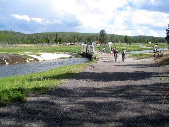
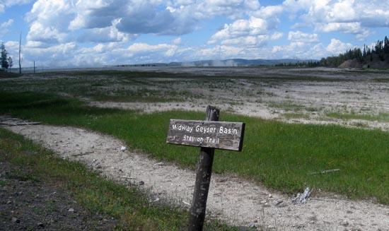
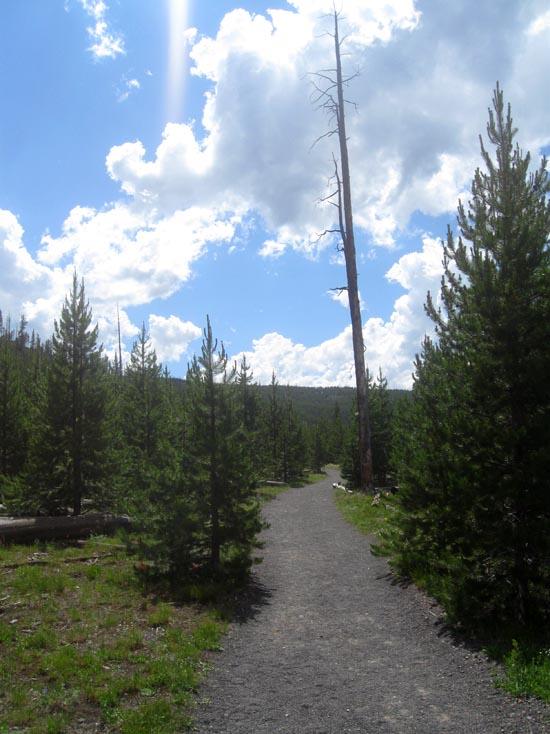
The trailhead for the Fairy Falls hike is 1.3 miles south of the Midway Geyser Basin. Cross the Firehole River bridge. Continue north along the old freight road as it makes its way behind Midway Geyser Basin.
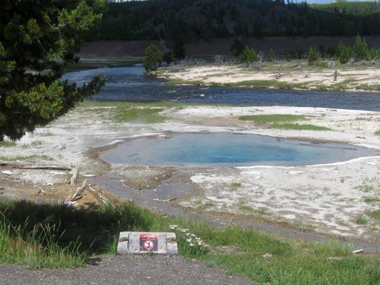
Notice the brilliant colors of the Grand Prismatic Spring ahead on the right. Early visitors to the park were told it was "so dazzling that the eye cannot endure it." Most of the colors you see are caused by algae, which thrives in the hot spring water at temperatures up to 167° F. At that temperature, the algae is normally a light yellow color. Soon orange, red and finally green algae are found near the outer edge of the spring.
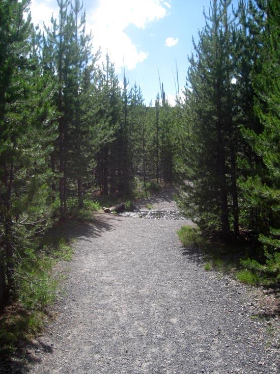
At the 1-mile mark, the trail turns left, leaves the freight road, and enters the forest.
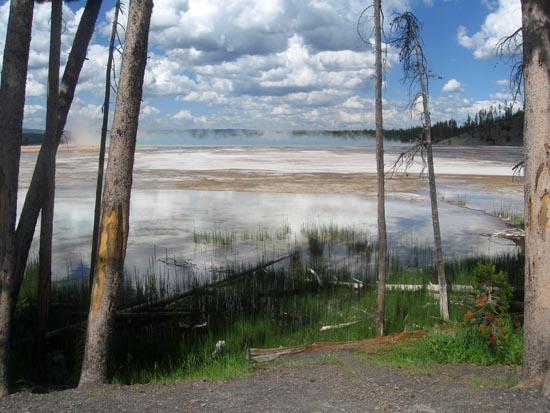
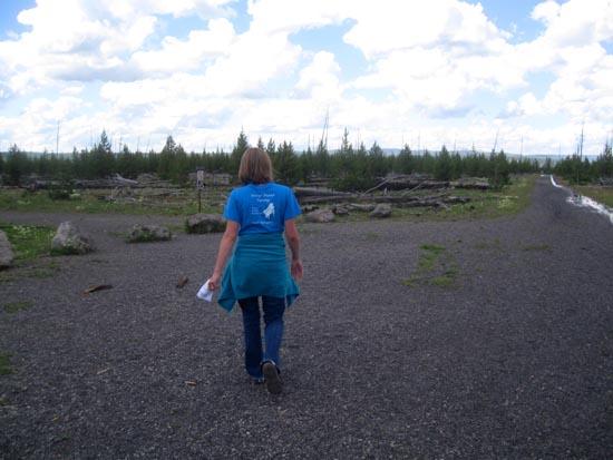
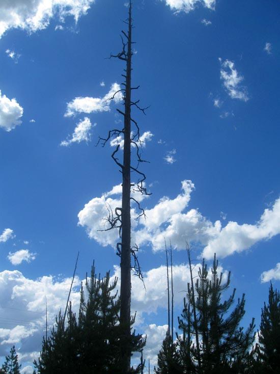
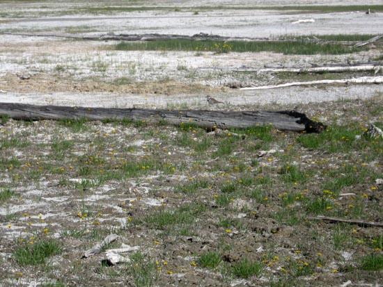
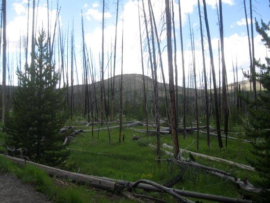
Virtually all of this trail has been affected by the fires of 1988. As devastated as this forest may appear, it is not dead. In fact, by some measures it is more alive than before. Yellowstone was covered by aging lodgepole pine trees. This "lodgepole desert," as some called it, supported relatively few species of plants and animals.
The fires opened up the overhead canopy and cleared the cluttered forest floor. Within weeks, grasses and other plant life began sprouting, and small animals began feeding on the feast of seeds dropped during the fire. Hawks, in turn, traveled great distances to prey on these vulnerable animals. Burned trees attracted insects that in turn attracted a variety of birds. Listen for the sounds of a forest alive.
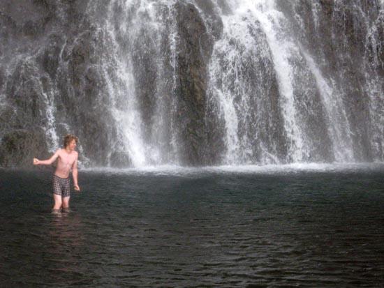
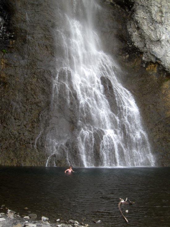
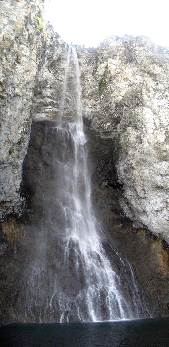
At the 2.5-mile mark, you will reach Fairy Falls. Fairy Creek shoots out over the edge of the Madison Plateau and plunges 197 feet. Members of the 1871 Hayden Survey named it for the "graceful beauty with which the little stream dropped down a clear descent."
When you are finished exploring, return via the same route you came.
Closest City or Region: Yellowstone National Park, Wyoming
Coordinates: 44.515400, -110.832520
By Jeremy Dye
Jeremy Dye, Tara Dye, Savannah Dye, Greg Dye, Laura Dye, Zac Dye, Bryce Ball,


 Waterfalls
 No Drinking Water
 Marked Trails
 No Restrooms
 Road Access is Paved
 Access Road is 2WD Accessible
 Viewpoint, Overlooks, Vistas
 Hiking Trails
 Swimming - Outdoor
 Wildflowers and Vegitation
 Wildlife and Birding