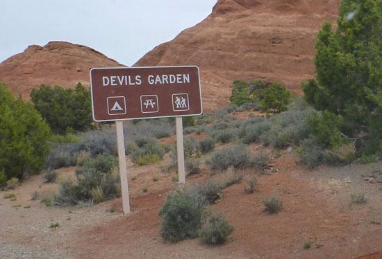
 Hiking | Devils Garden in Arches NP


Hype:
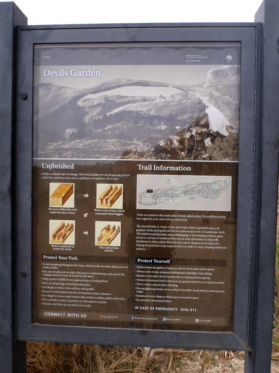
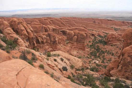
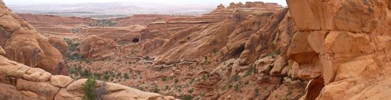
Arches is a landscape of change. The vertical slabs of rock all around you are called fins, and they were once a solid layer of sandstone. Over time:
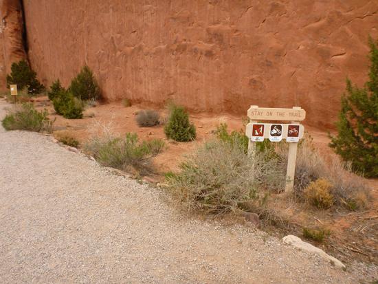
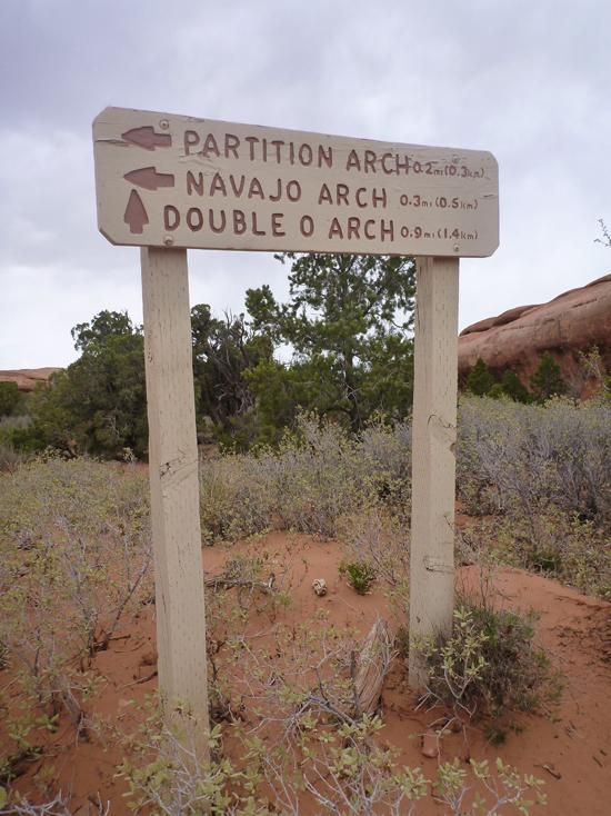
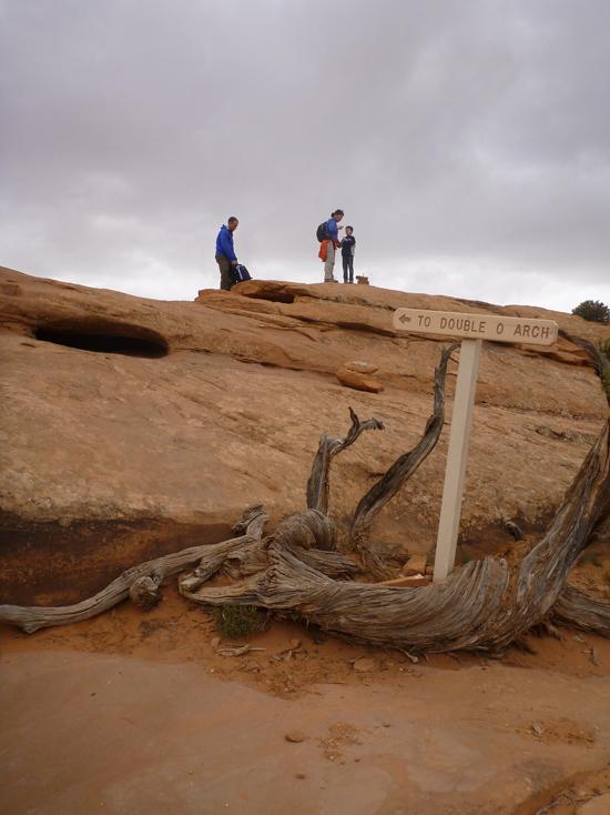
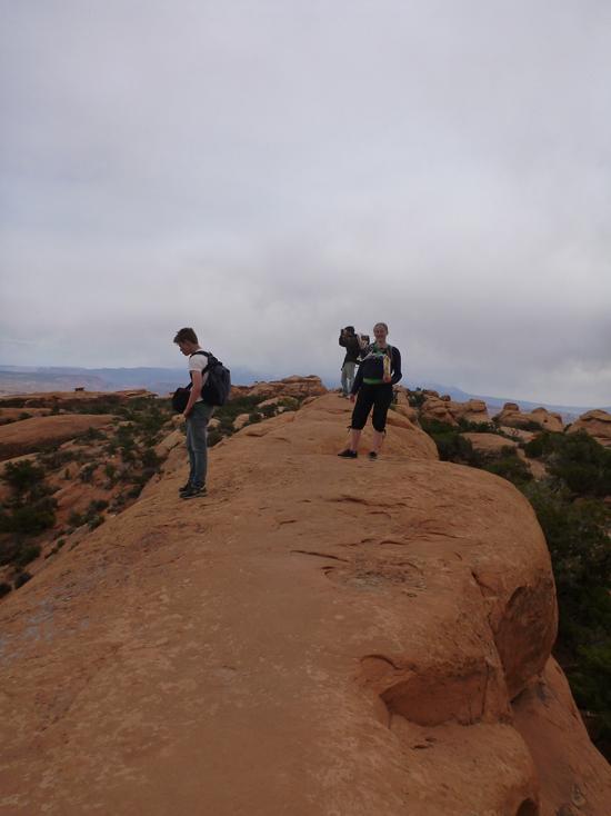
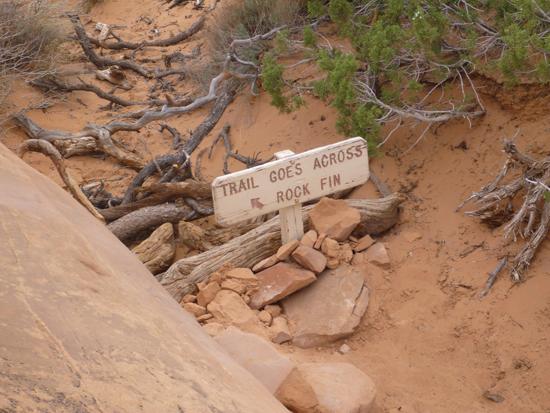
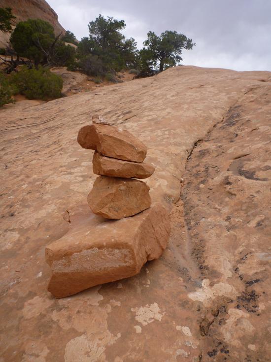
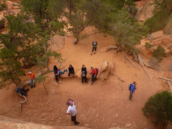
Trails are marked with small piles of rocks called cairns. To avoid becoming lost, sight the next cairn before continuing.
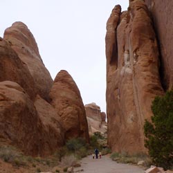
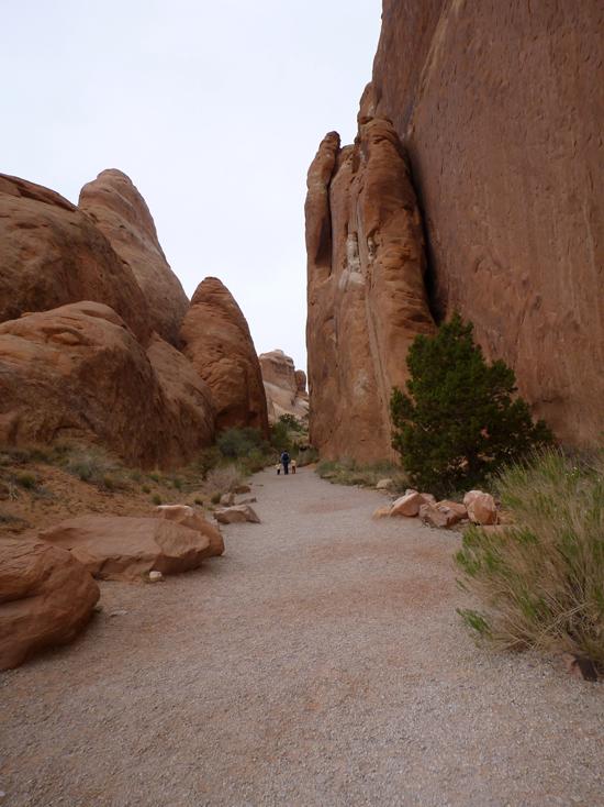
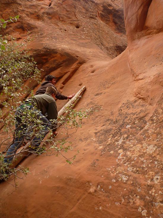
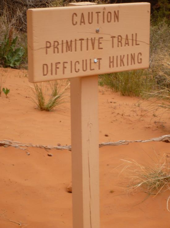
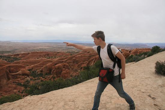
The first 0.8 mile (1.3 km) of the main trail, which is graveled and well graded, winds among the tall fins to a spectacular view of Landscape Arch. The trail beyond becomes more challenging. It has sloping surfaces, goes across or on top of sandstone fins and in close proximity even when dry. Hiking the primitive loop requires that you walk on steep, sloping sandstone surfaces.

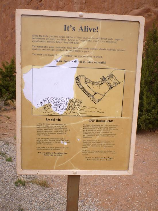
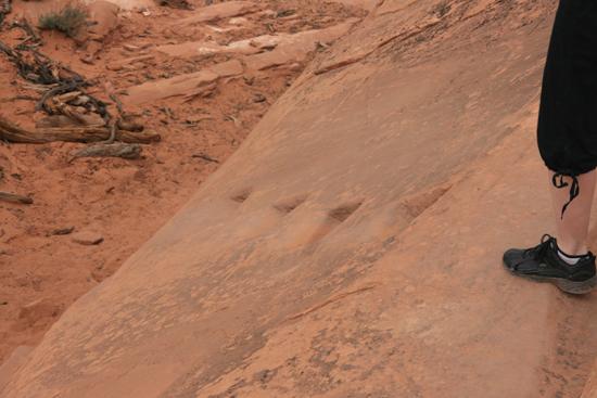
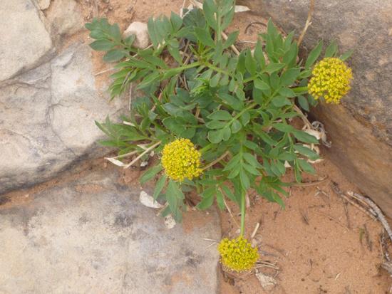
Along the trails, you may notice patches of black crust on the soil (through early stages of development are nearly invisible). Known as "cryptobiotic crust," it is a mixture of cyanobacteria, mosses, lichen, fungi and algae.
This remarkable plant community holds the desert sands together, absorbs moisture, produces nutrients, and provides seedbeds for other plants to grow.
This crust is so fragile that one footprint can wipe out years of growth.
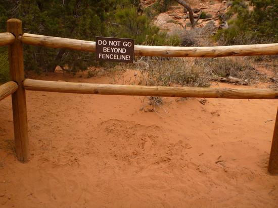
Please don't walk on it. Stay on trails!
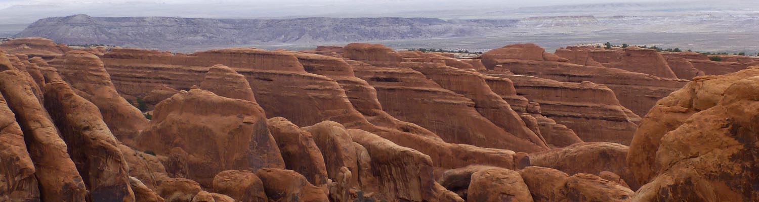
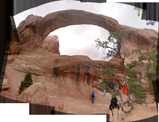
The Devils Garden Trail leads you between sheer walls of sandstone fins, which, we hope, will make you wonder about how they were made. Simply put, vertical cracks in a thick layer of sandstone are being eroded and widened by water ? scoured by runoff from rainfall or snow melt, or pried and exfoliated by ice expansion.
We are fortunate to be here at this precise time in earth history, because these unusual stone formations probably will last a few thousand years, not long as geologic time goes. The events that set the stage for arches, fins, and other intriguing rock shapes have taken place over millions of years. Beginning about three hundred million years ago a series of oceans cave and went in this area. As the seas evaporated, they left salt beds that were five thousand feet thick in some places. Over subsequent millions of years, deep accumulations of sands, silts, and clays were blown and washed down upon the salt deposits. As it was squeezed around by uneven weight and pressure, the salt was pushed up into what geologists call and anticline. Later tectonic events pushed some of the overlying horizontal rock layers upward, cracking them vertically. The cracks allowed rainwater to reach the salt beds, and the salt dissolved and seeped away.
As the salt receded, the overlying rock sank with it. Arches’ Salt Valley is a example of the resulting landform. At the edges of the valley the cracked rock was pulled apart slightly. Rain and snow could even more readily soak into the vertical cracks, dissolve the cementing minerals, and loosen the grains of sand to be carried away by running water. (The erosional power of water is demonstrated during summer thunderstorms when the normally dry stream channels surge with raging water, so loaded with sediment that water and rock are the same color.) As the cracks widen, tall fins are left standing.
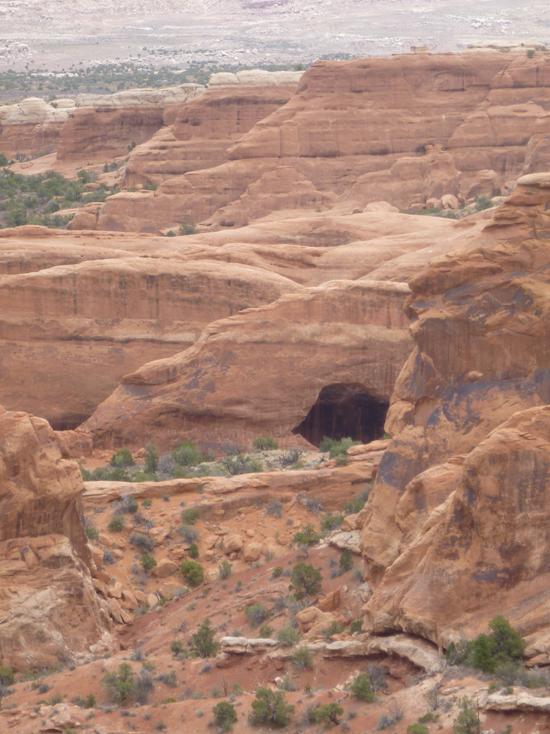
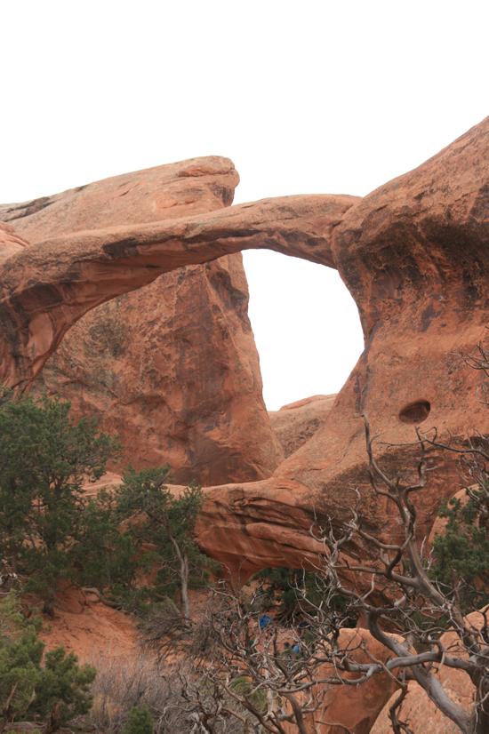
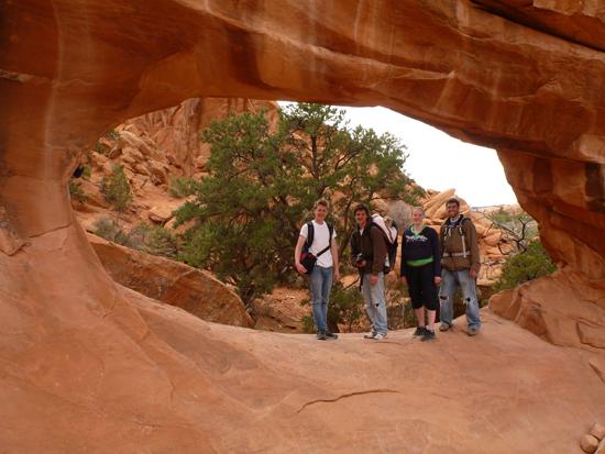
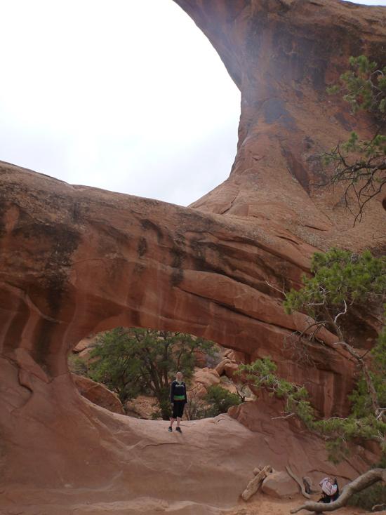
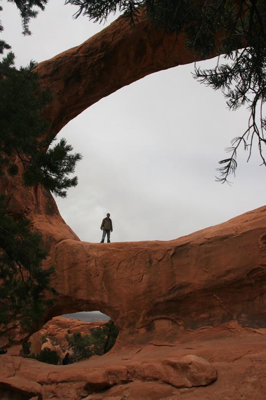
In some instances, weak zones in fins are either dissolved by naturally occurring acids in rainwater or wedged apart by freezing and thawing water, and openings develop. These openings evolve into the varied and splendid arches that capture our admiration.
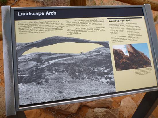
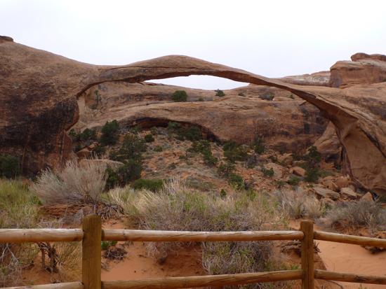
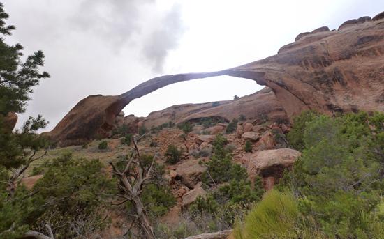
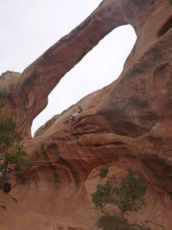
Landscape Arch, one of the world’s longest stone spans, stretches 306 feet (93 meters) thick at its center. It was almost five feet thicker until September 1991 when a few small pieces of the arch began to fall. Within seconds a 60-foot-long (18-meter-long) slab of rock dropped from the underside of the arch’s thinnest section. Some of the large boulders on the slope beneath the arch are remnants of this event.
As we peer through arch openings, we are reminded of the dynamic nature of our earth. Some of the sand beneath our feet could be majestic arches of long ago. In time, today’s familiar arches, buttes, and spires will rejoin the shifting sands and perhaps one day become ingredients for another awe-inspiring landscape.
“Each and every one of us plays a part in the changes that ceaselessly work to maintain the balance of the Earth? Our individual contributions are tiny but the sum of all human activities is large.â€
Your actions will help determine whether Nature of people’s activity will be the primary cause of change here in Devils Garden, Park managers face the challenging task of preserving the parks from pressures of rapidly increasing numbers of visitors. They must also address the effects out-of-park developments have upon park resources. Your support and understanding of management policies are critical to their success, and your ideas for management strategies to deal with these impacts are always welcome!
September 1, 1991 - Hikers thought they heard cracks of thunder from distant clouds. Visitors resting under Landscape Arch noticed loud cracking and popping noises overhead. They fled as small rocks tumbled from the slender 306-foot-long span. Moments later, a 60-foot-long rock clab peeled away from the arch’s right side. When the dust settled, 180 tons of fresh rock debris lay scattered on the ground. What caused this cataclysmic event? Water had been slowly shaping the arch for countless centuries, dissolving cement between sand grains, seeping into tiny cracks, freezing and expanding. What had finally upset the delicate balance?
Unseasonably heavy rains the preceding ten days may have filled pore spaces within the sandstone. The added weight may have finally overwhelmed the rock slab in its timeless struggle with gravity.
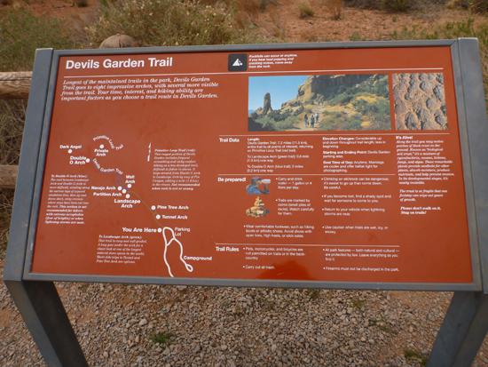
Trail Condition: Class 2 (Trail may have tree roots or rocks jutting out. Navigation skills may consist of following rock cairns and choosing turns at junctions. Elevation gains may be more substantial.)
Time: Up to 4 hours
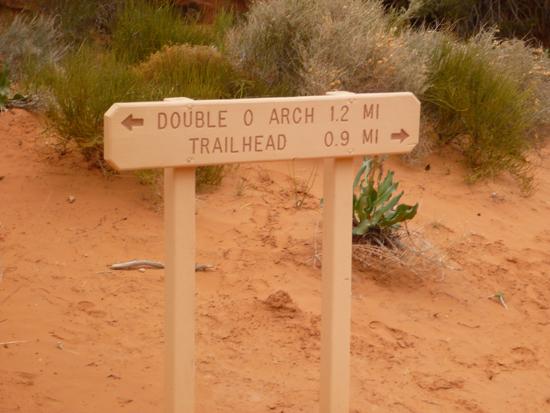
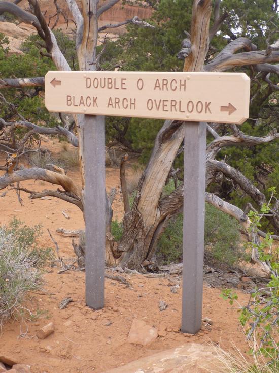
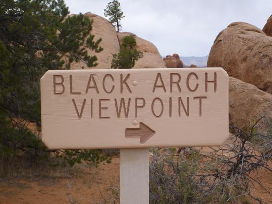
Length: Devils Garden Trail: 7.2 miles, entire trail to all points of interest, returning on Primitive Loop Trail (red trail). To Landscape Arch (green trail): 0.8 mile one way. To Double O Arch (blue trail): 2 miles one way.
Elevation Gain: 200 ft
Fees: Entrance fee
Recommended Ages:
 | 0-3 |
 | 4-11 |
 | 12-19 |
 | 20-49 |
 | 50-69 |
 | 70+ |
Recommended Months to Visit:
| Jan |
| Feb |
| Mar |
| Apr |
| May |
| Jun |
| Jul |
| Aug |
| Sep |
| Oct |
| Nov |
| Dec |
Navigate to 38.782867, -109.595032.
Closest City or Region: Arches National Park, Utah
Coordinates: 38.782867, -109.595032
By Jeremy Dye
Jeremy Dye, Tara Dye, Savannah Dye, Zac Dye, Bryce Ball,


 Arches
 No Drinking Water
 Marked Trails
 No Restrooms
 Road Access is Paved
 Access Road is 2WD Accessible
 Interpretive Signs
 Viewpoint, Overlooks, Vistas
 Hiking Trails
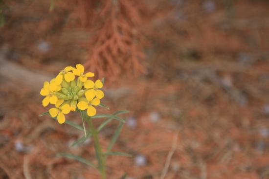
 Wildflowers and Vegitation
 Wildlife and Birding