Hiking | Bowknot Bend Overlook


Hype:
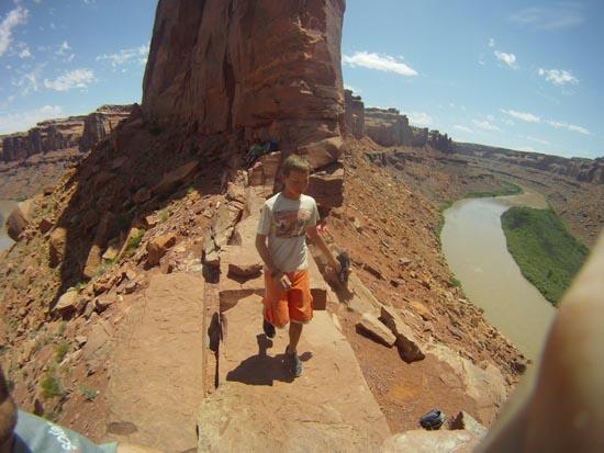
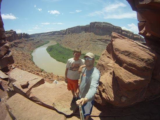
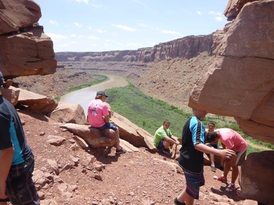
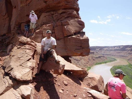
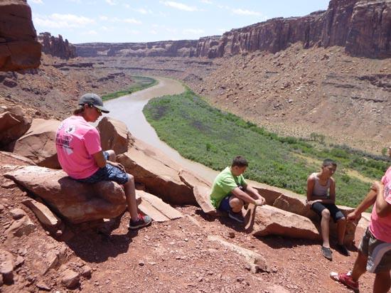
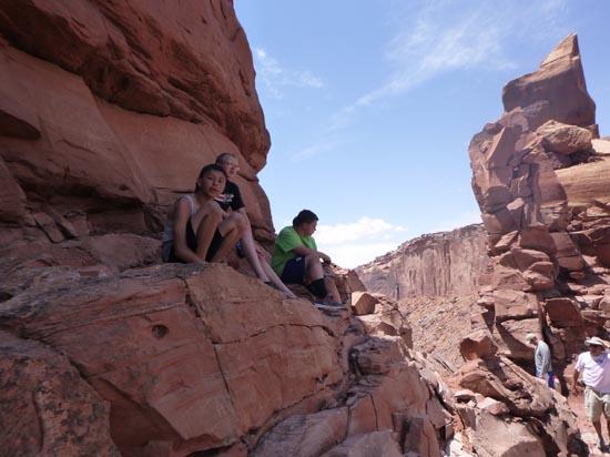
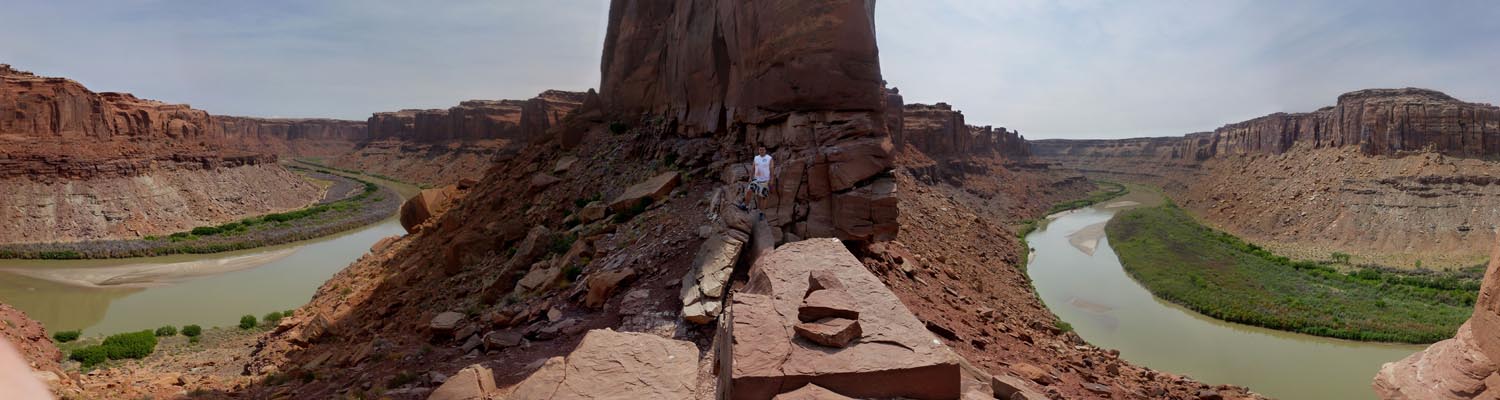
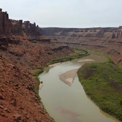
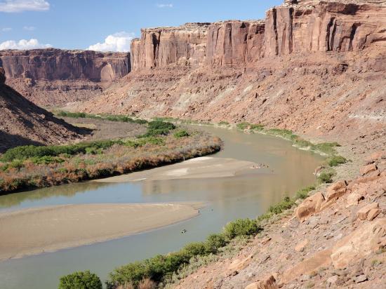
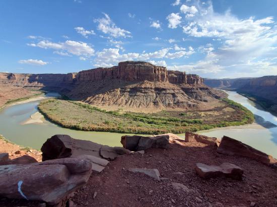
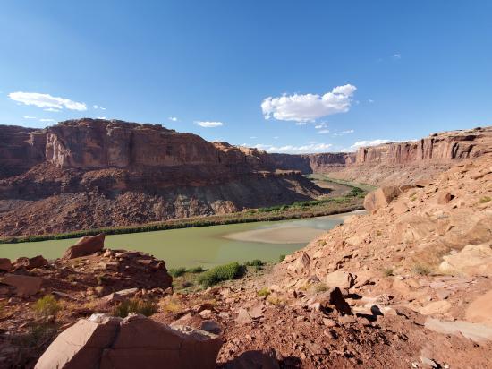
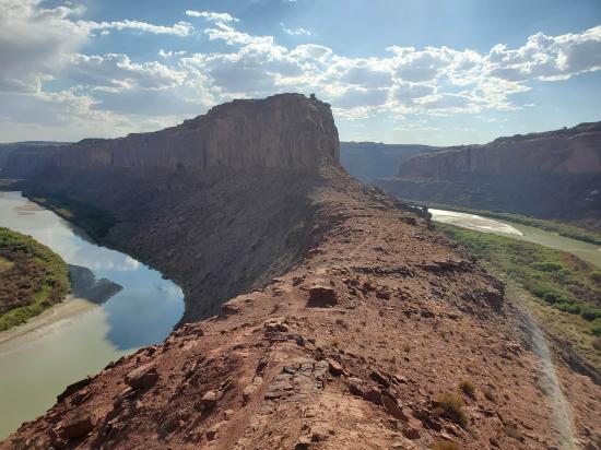
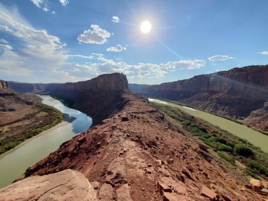
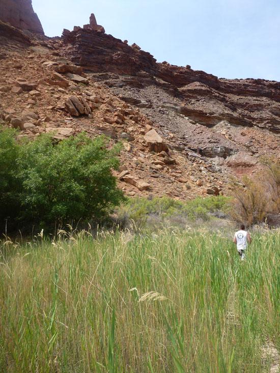
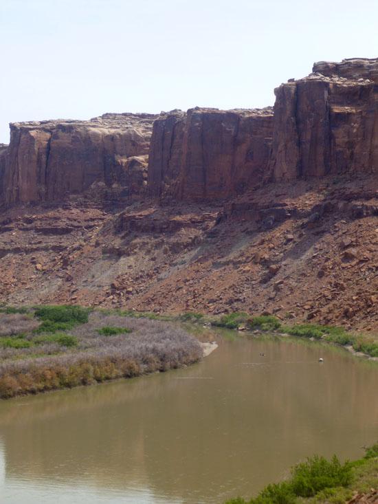
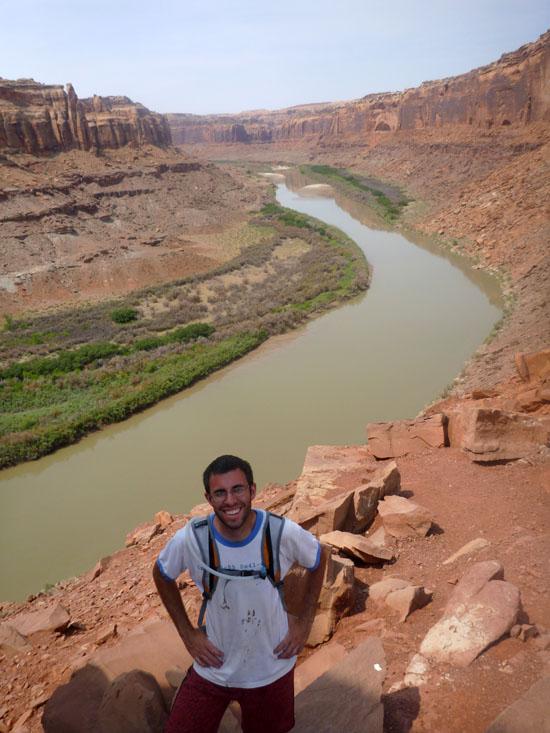
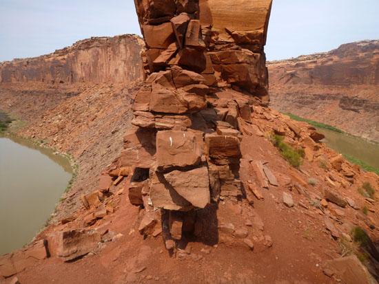
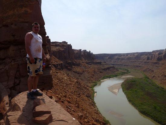
Bowknot Bend is a 6.8-mile meander of the Green River that doubles back on itself so close that the two sections of river are just 0.2 miles apart. A short scramble up to the ridge gives amazing views of the Green River on both sides.
Trail Condition: Class 0 (Trail is paved. No elevation gain.)
Time: 30 minutes
Elevation Gain: 360 ft
Fees: None
Recommended Ages:
 | 0-3 |
 | 4-11 |
 | 12-19 |
 | 20-49 |
 | 50-69 |
 | 70+ |
Recommended Months to Visit:
| Jan |
| Feb |
| Mar |
| Apr |
| May |
| Jun |
| Jul |
| Aug |
| Sep |
| Oct |
| Nov |
| Dec |
Navigate to 38.606258, -110.028465.
Closest City or Region: Green River, Utah
Coordinates: 38.606258, -110.028465
By Jeremy Dye
 Green River State Park Campground
By Jeremy Dye
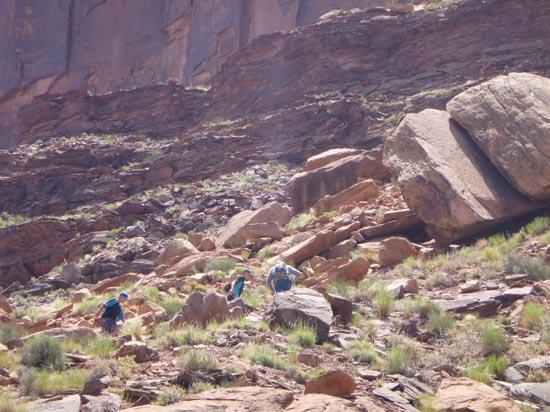
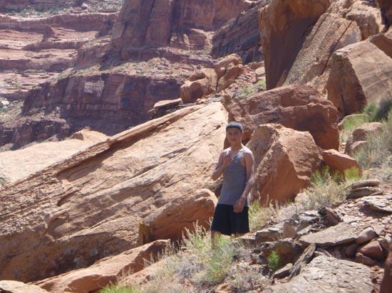
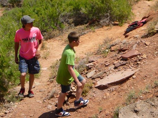
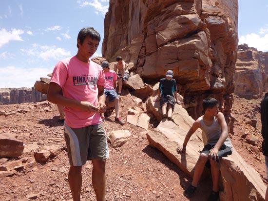
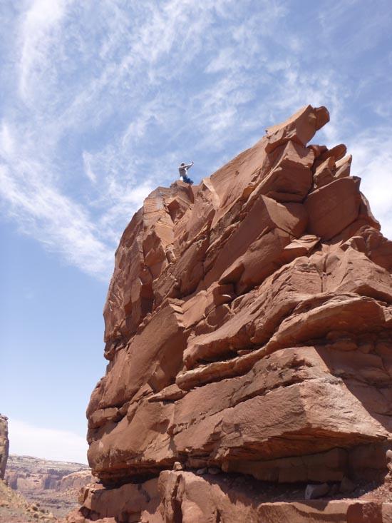
Bowknot Bend is a 6.8-mile meander of the river that doubles back on itself so close that the two sections of river are just 0.2 miles apart. The cliffs between the two sections of river are much lower at this point, so the hike is actually quite doable.
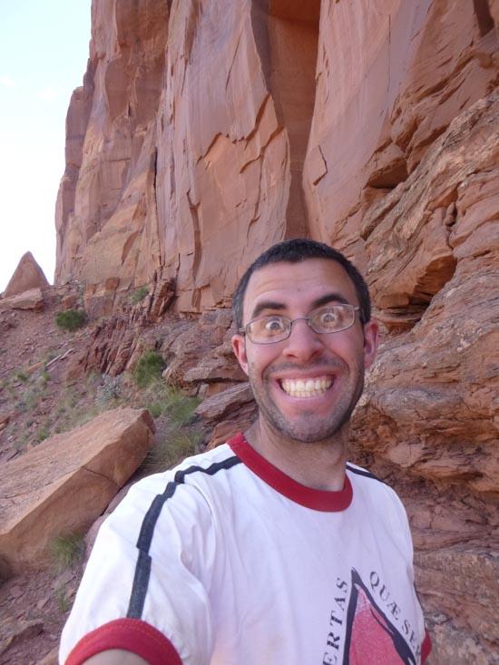
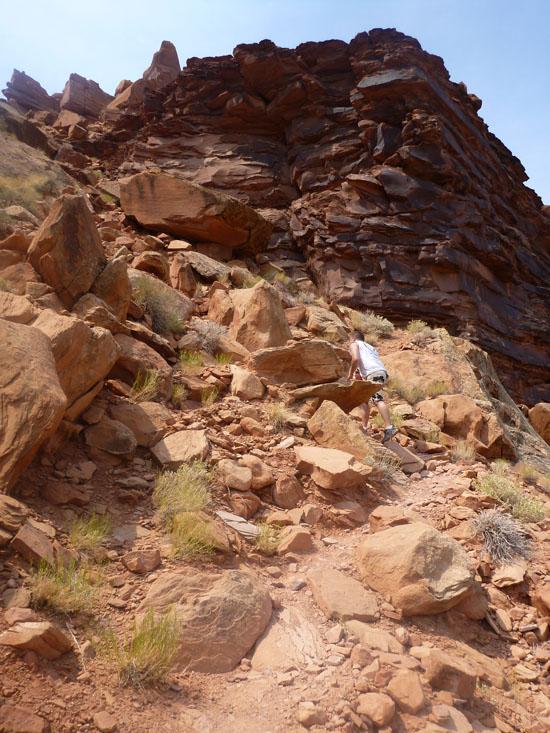
Anthony and I hiked up to the Bowknot Bend Overlook where we could see the river on both sides of the cliff. The rest of our group continued paddling without us.
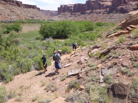
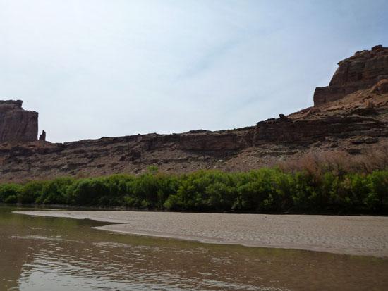
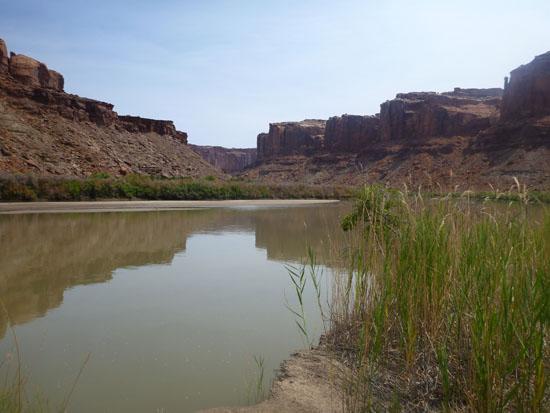
Then we scrambled back down and jumped in the canoe and raced to catch up with the rest of the group. It turns out we could have paddled a little slower because we caught up to them in just 2 miles. They had stopped at a sandbar just two minutes before we got there.
 Hiking Trails
 Rivers and Streams
 Viewpoint, Overlooks, Vistas
 No Drinking Water
 Wayfinding
 No Restrooms
 Wildflowers and Vegitation
 Wildlife and Birding