 Hiking | Left Fork Maple Canyon


Hype:
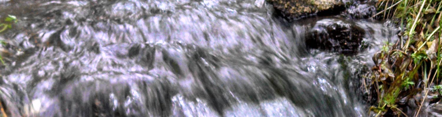
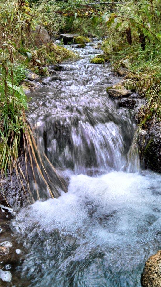
The trail up Left Fork of Maple Canyon starts at a parking lot just past Whiting Campground in Mapleton, Utah. It follows an old dirt road along a river. The trail winds through lush vegetation and has log bridges at the river crossings. It is an excellent trail for a quick family get-away.
Trail Condition: Class 1 (Trail is either paved or gravel. Navigation skills are not needed because there is only one trail or because there are signs. Elevation gains are gradual or there are stairs.)
Time: 1-4 hours
Length: Up to 4 miles one way
Elevation Gain: Negligible
Fees: None
Recommended Ages:
 | 0-3 |
 | 4-11 |
 | 12-19 |
 | 20-49 |
 | 50-69 |
 | 70+ |
Recommended Months to Visit:
| Jan |
| Feb |
| Mar |
| Apr |
| May |
| Jun |
| Jul |
| Aug |
| Sep |
| Oct |
| Nov |
| Dec |
Links: Forest Service
Navigate to 40.135700, -111.522987.
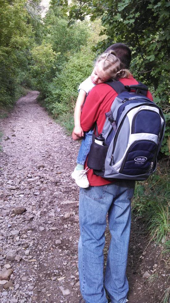
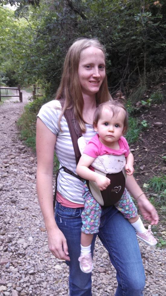
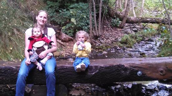
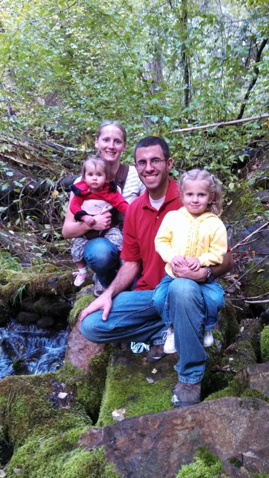
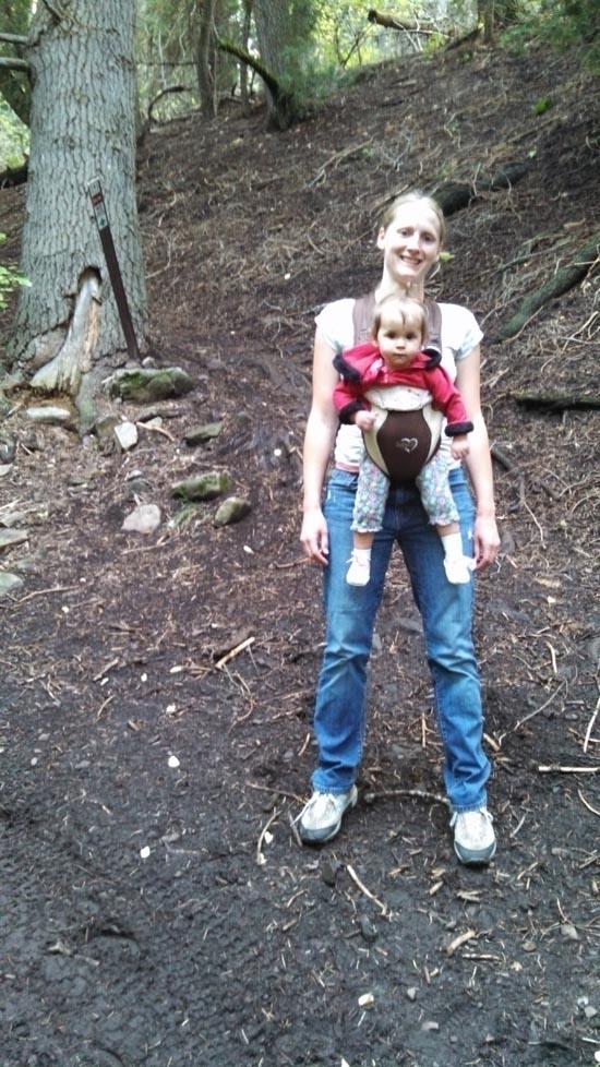
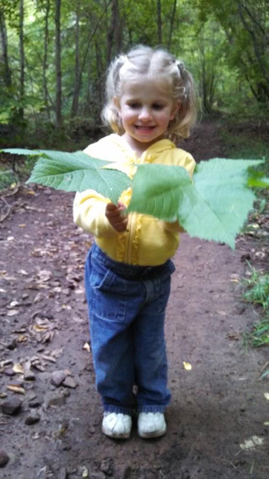
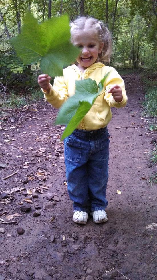
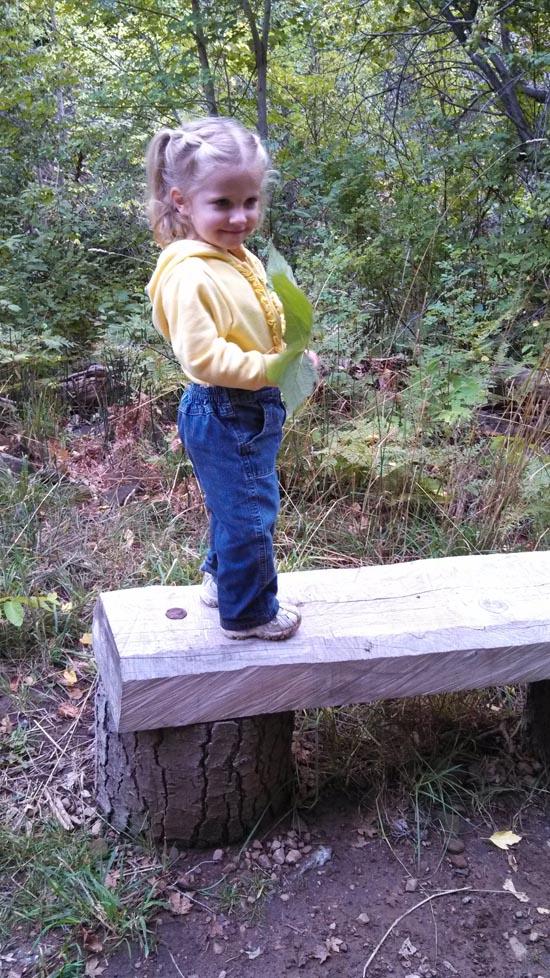
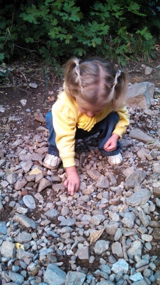
By Jeremy Dye
Jeremy Dye, Tara Dye, Savannah Dye, Madilyn Dye,
We hiked Maple Canyon one evening as a family. It's really pretty, and we had an enjoyable time.


East Portal Dispersed Campground
Mount Timpanogos Trail from Aspen Grove
Timpooneke Trail to Mount Timpanogos
Logan Ranger District Visitor Information Center
 Waterfalls
 Hiking Trails
 Non-potable Water - filterable
 Rivers and Streams
 Mountains
 Marked Trails
 No Restrooms
 Road Access is Paved
 Access Road is 2WD Accessible
 Viewpoint, Overlooks, Vistas
 Wildflowers and Vegitation
 Wildlife and Birding