 Hiking | Hanging Lake Hike


Hype:
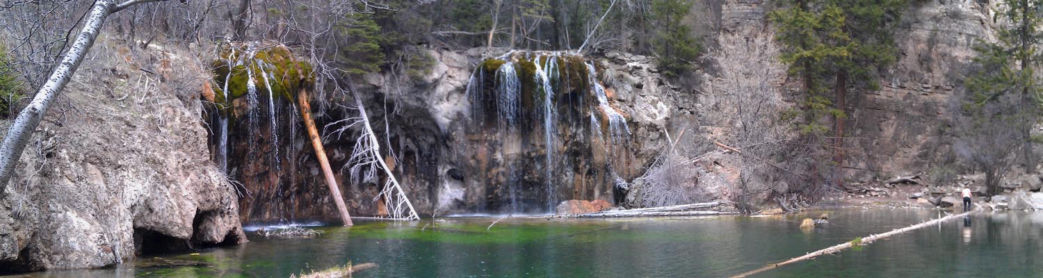
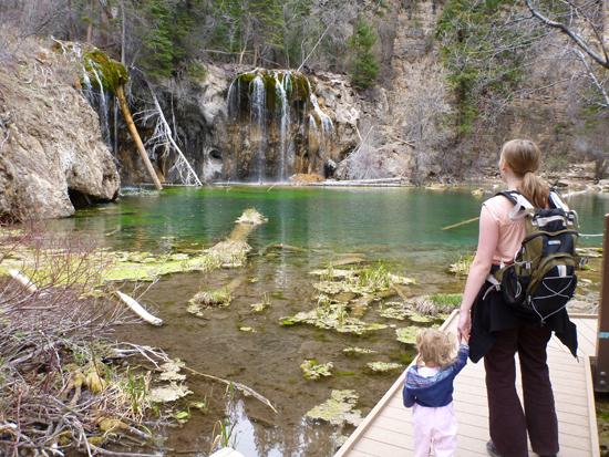
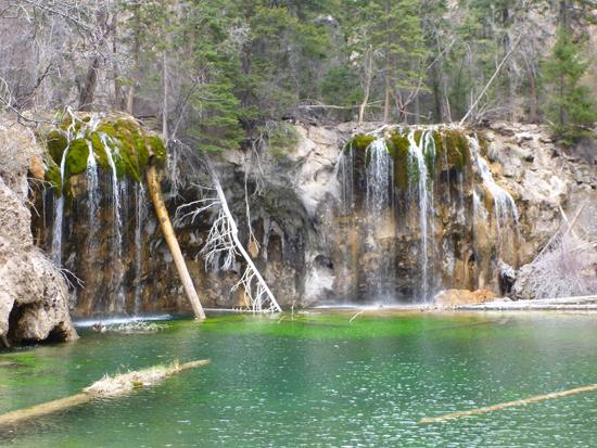
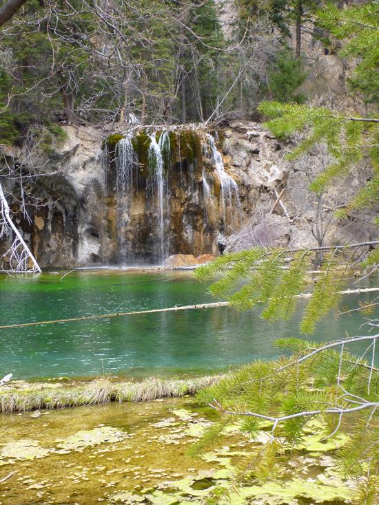
Hanging Lake is located along I-70 in Glenwood Canyon, CO. The trail is only 1.2 miles each way, but it gains approximately 1000 ft. Hanging Lake is a beautiful, green and blue pond with two large waterfalls feeding it.
Trail Condition: Class 2 (Trail may have tree roots or rocks jutting out. Navigation skills may consist of following rock cairns and choosing turns at junctions. Elevation gains may be more substantial.)
Time: 2 hours
Length: 2.4 miles round trip
Elevation Gain: 1,020 ft
Fees: None
Recommended Ages:
 | 0-3 |
 | 4-11 |
 | 12-19 |
 | 20-49 |
 | 50-69 |
 | 70+ |
Recommended Months to Visit:
| Jan |
| Feb |
| Mar |
| Apr |
| May |
| Jun |
| Jul |
| Aug |
| Sep |
| Oct |
| Nov |
| Dec |
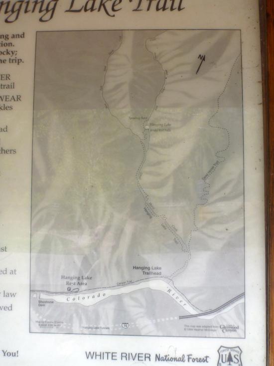
Navigate to 39.589401, -107.190208.
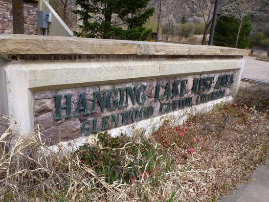
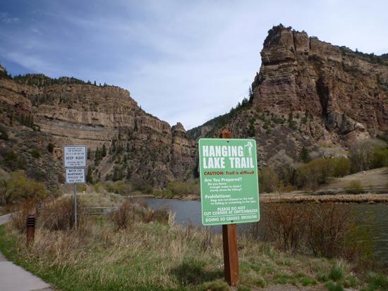
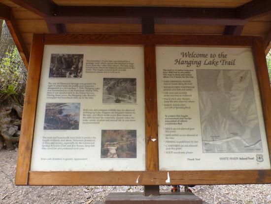
The trail to Hanging Lake begins at the Hanging Lake Rest Area, which is located in Glenwood Canyon, Colorado along I-70.
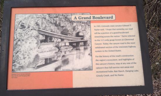
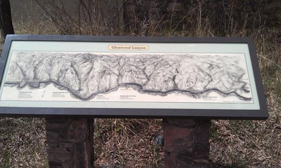
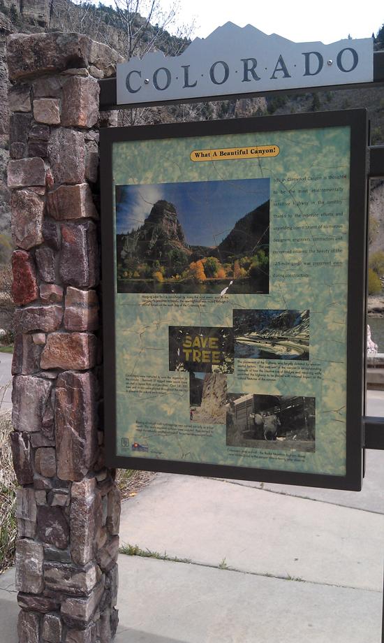
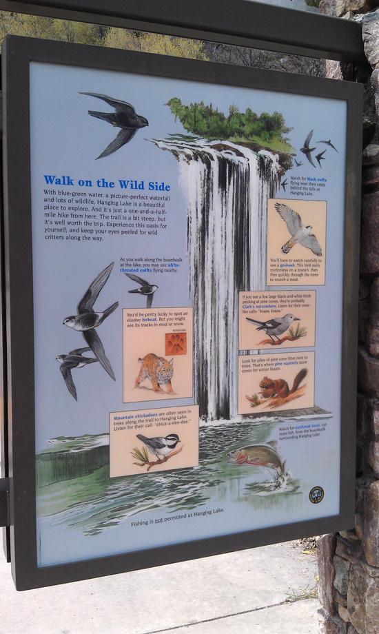
To get to the Hanging Lake trailhead, you'll have to take the Canyon Trail, which is a paved path that parallels the Colorado River. Along the way are several interpretive signs explaining the history of Glenwood Canyon and the constuction of I-70 through the area.
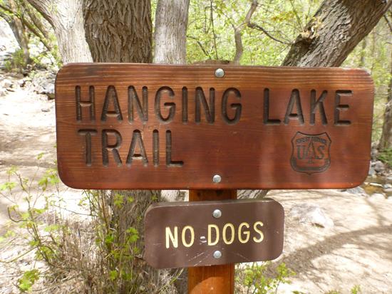
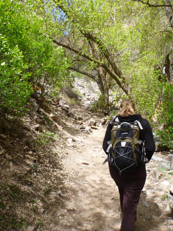
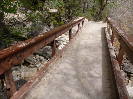
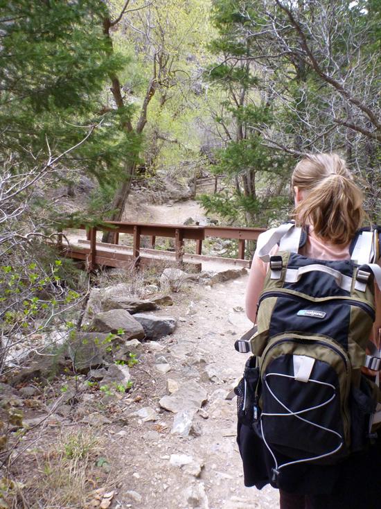
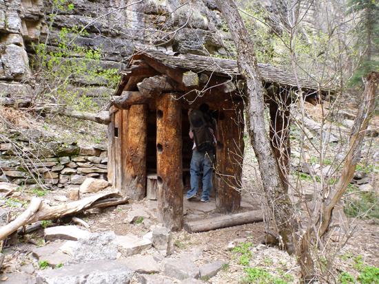
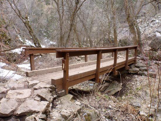
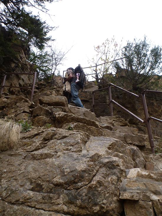
The Hanging Lake trailhead is well marked. You can't miss it. From here on out, the hiking is on uneven terrain. However the trail has several improvements including seven foot bridges and several benches for resting.
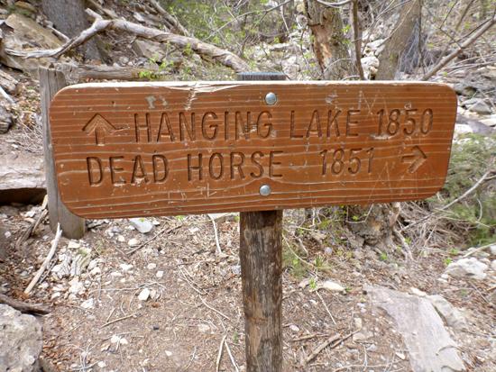
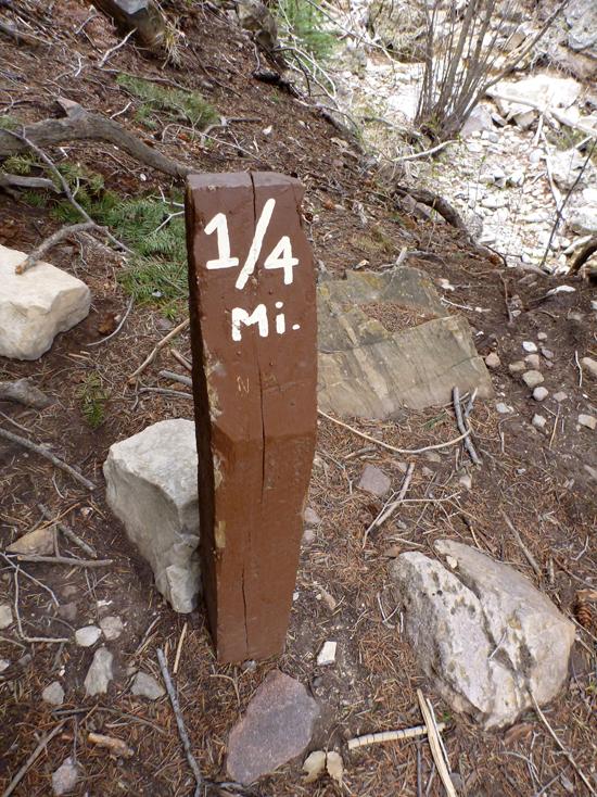
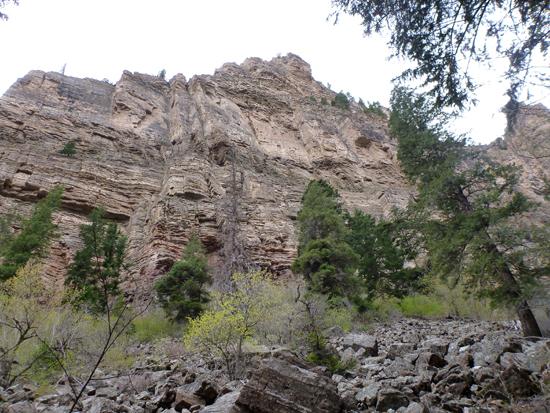
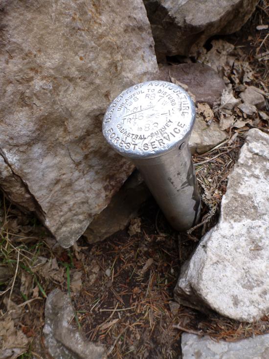
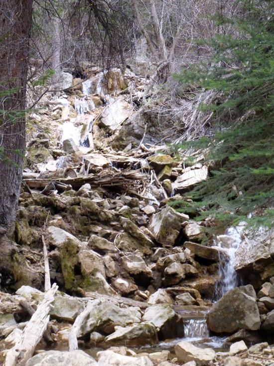
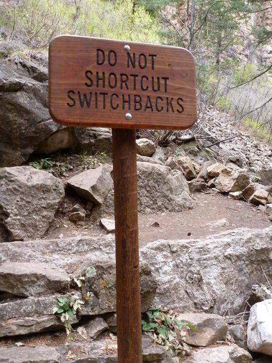
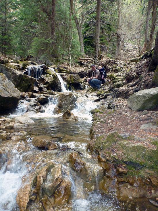
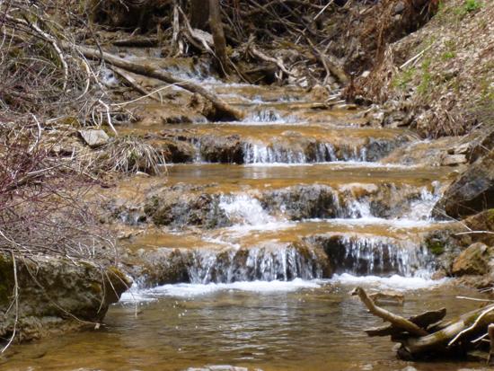
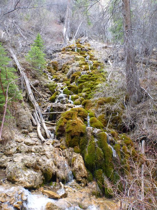
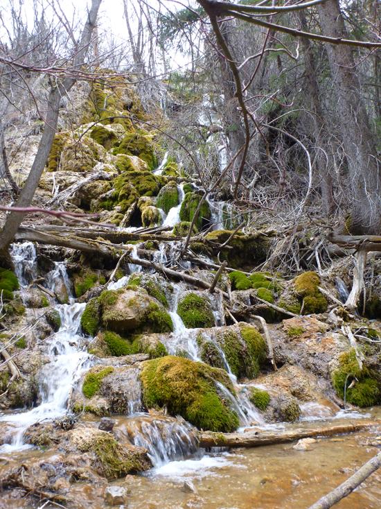
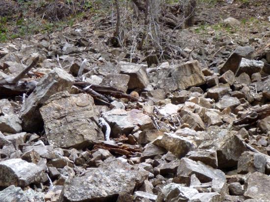
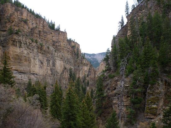
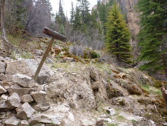
After a short while, you'll pass the junction with Dead Horse trail. The forest service has placed mile markers every 1/4 mile. As you get higher up the canyon, you'll see more and more waterfalls. The cliffs on either side of the trail are several hundred feet tall. The trail is steep; it climbs 1000 ft in 1.2 miles, so there are a lot of switchbacks in places.
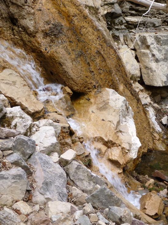
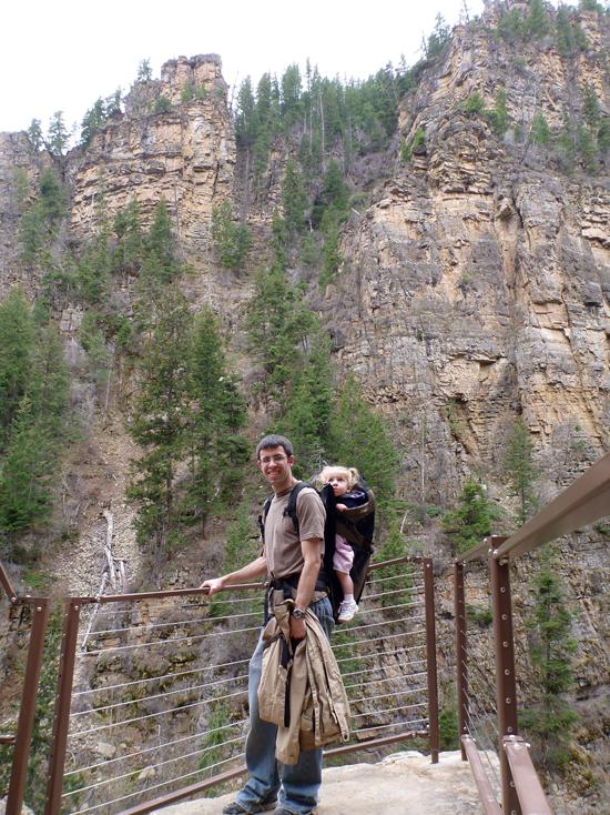
One of the nice things about this trail is that it gets prettier as you go. The trail passes by the base of two waterfalls. Bridal Veil Falls and Hanging Lake are a couple hundred feet above the waterfalls.
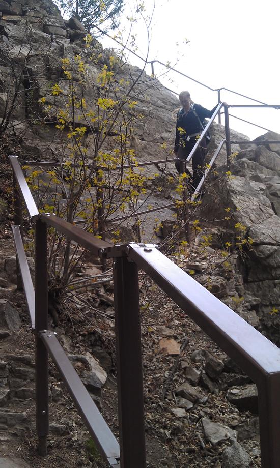
The last hundred feet of the trail has handrails and is basically carved into the cliff.
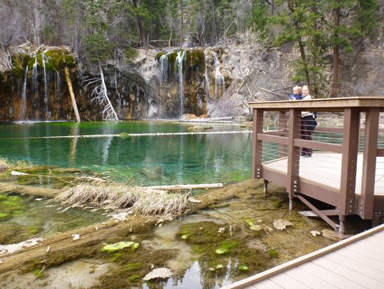
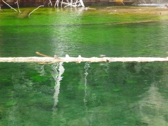
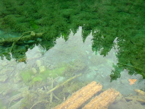
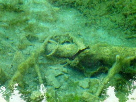
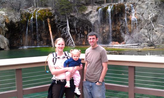
Once you get up to Hanging Lake, the scenery is spectacular. Hanging Lake has a nice boardwalk with benches. The water is extremely green with rainbow trout swimming in the water. Stay as long as you want, and soak in the scenery.
The hike back down is quick and easy. It's amazing how gravity works.
Closest City or Region: Glenwood Springs, Colorado
Coordinates: 39.589401, -107.190208
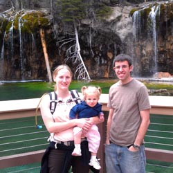
By Jeremy Dye
Jeremy Dye, Tara Dye, Savannah Dye,
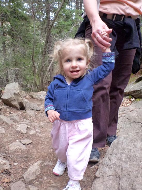
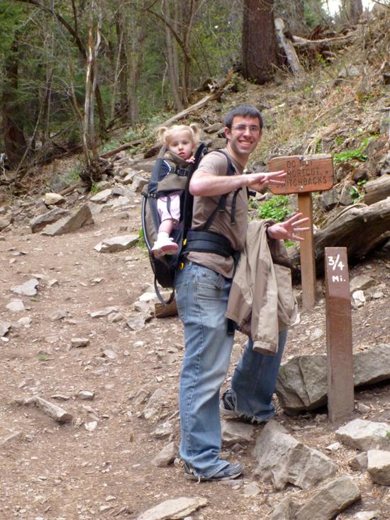
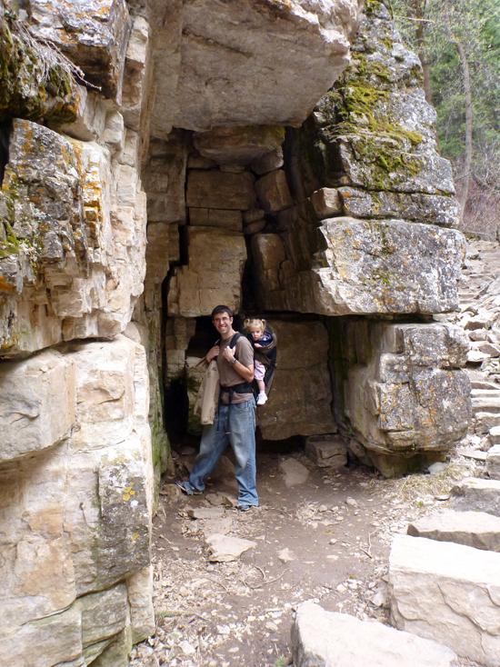
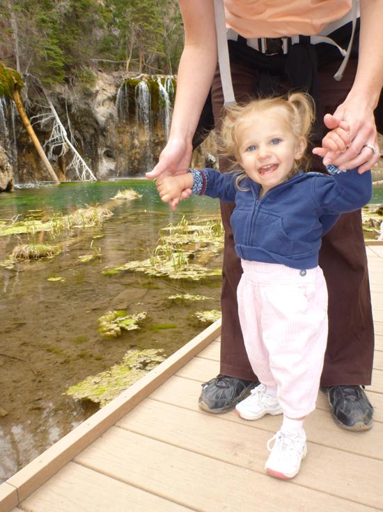
We stopped at Hanging Lake on our way to a work seminar in Denver. We really enjoyed both the hike and the destination. On the way up, we took Savannah out of the backpack for a while. The idea was to wear her out as much as possible so she'd be happy to sit in the car for several more hours.
Shortly before the top, we saw an animal climbing on the rocks. It looked like a beaver but with a bushy tail.
At the top, We saw the sign for Spouting Rock, but we didn't realize that it was a trail leading behind Bridal Veil Falls to some more waterfalls. Next time we'll have to explore a bit more.

 Waterfalls
 Hiking Trails
 Non-potable Water - filterable
 Mountains
 Marked Trails
 Restrooms - Flush
 Road Access is Paved
 Access Road is 2WD Accessible
 Interpretive Signs
 Viewpoint, Overlooks, Vistas
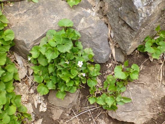
 Wildflowers and Vegitation
 Wildlife and Birding