 Hiking | Mill B South Fork Trail


Hype:
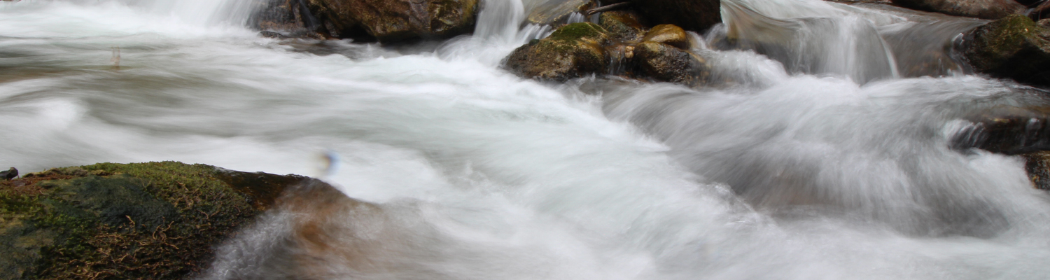
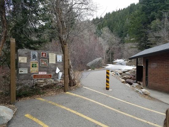
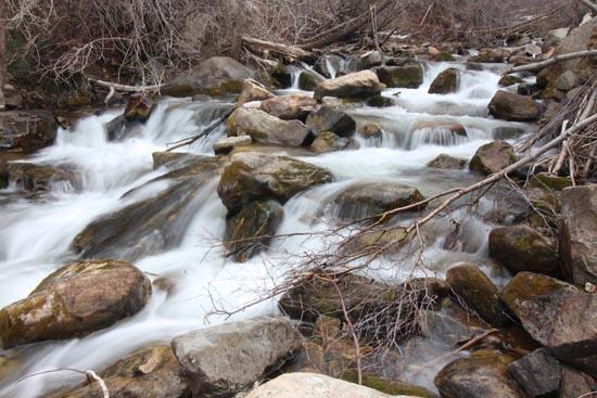
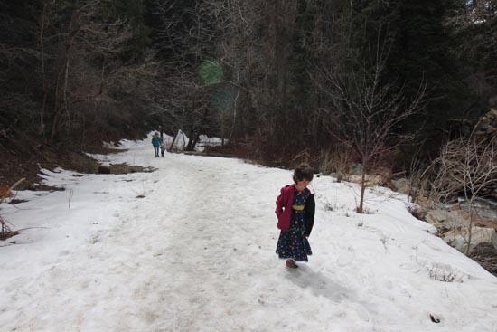
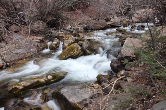
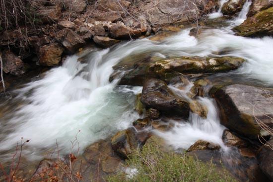
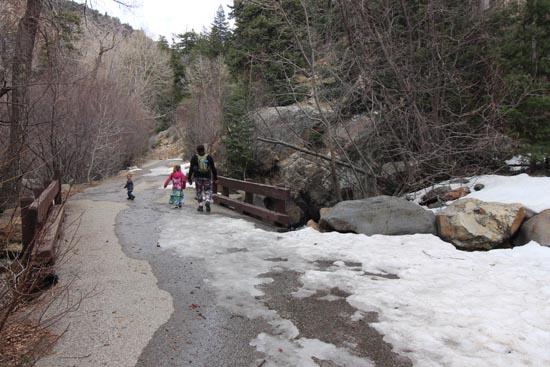
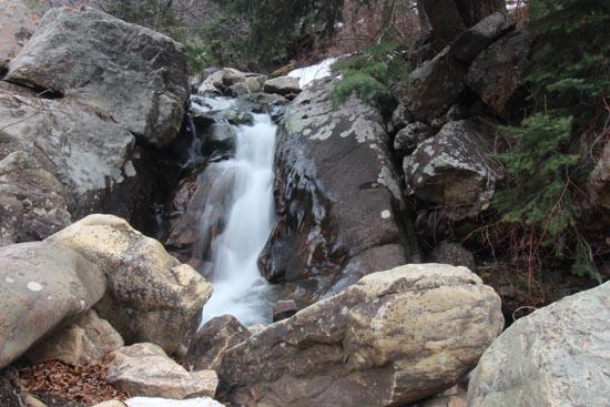
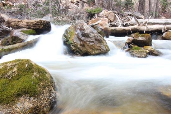
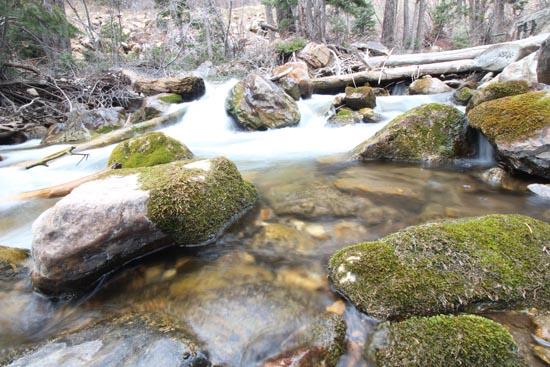
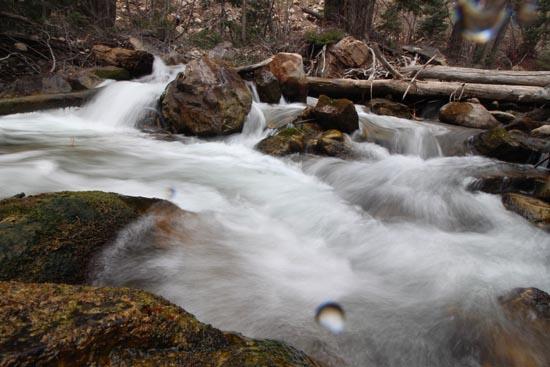
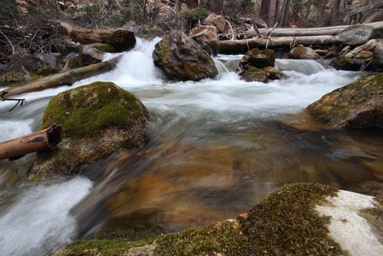
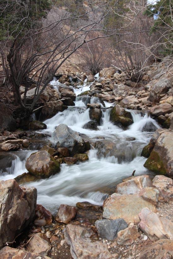
The Mill B South Fork Trail is an easy, paved trail that follows Big Cottonwood Creek for 0.27 miles to some cascades. The trail is located in the Mill B South Picnic Area in Big Cottonwood Canyon.Trail Condition: Class 0 (Trail is paved. No elevation gain.)
Time: 0-1 hour
Length: 0.54 miles up and back
Elevation Gain: 120 ft
Fees: None
Recommended Ages:
 | 0-3 |
 | 4-11 |
 | 12-19 |
 | 20-49 |
 | 50-69 |
 | 70+ |
Recommended Months to Visit:
| Jan |
| Feb |
| Mar |
| Apr |
| May |
| Jun |
| Jul |
| Aug |
| Sep |
| Oct |
| Nov |
| Dec |
Navigate to 40.633137, -111.723167.
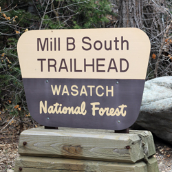
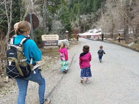
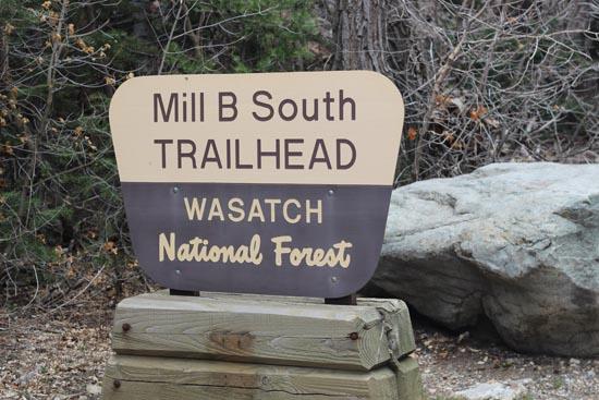
The Mill B South Fork Trailhead is located 4.3 miles up Big Cottonwood Canyon. You'll park in a parking area on the south end of a large "S" bend in the road.
Closest City or Region: Big Cottonwood Canyon, Utah
Coordinates: 40.633137, -111.723167
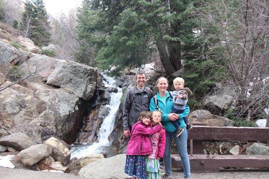
By Jeremy Dye
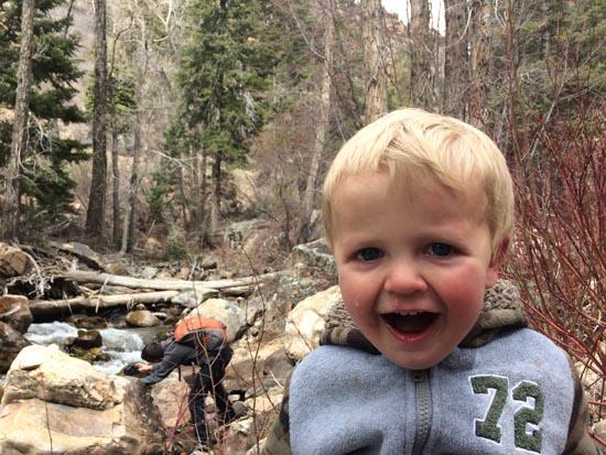
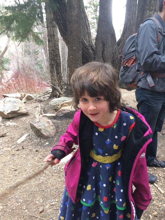
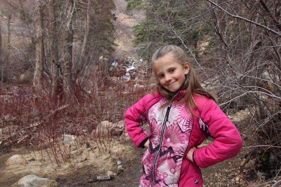
Jeremy Dye, Tara Dye, Savannah Dye, Madilyn Dye, Cooper Dye, Arianne Dye, Ondylyn Wagner, Killian Wagner,
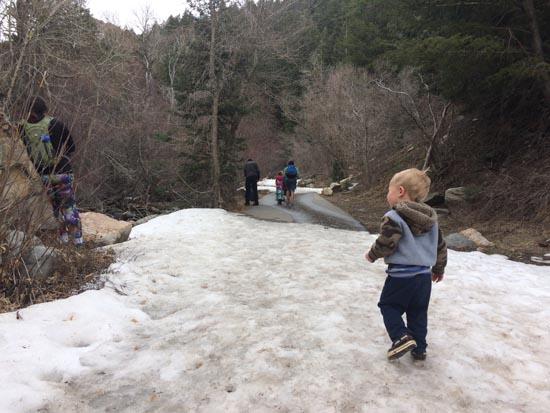
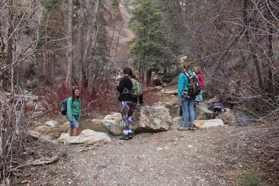
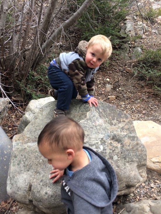
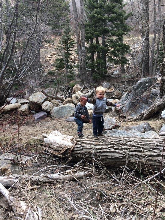
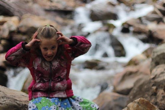
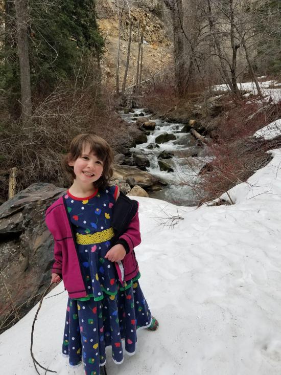
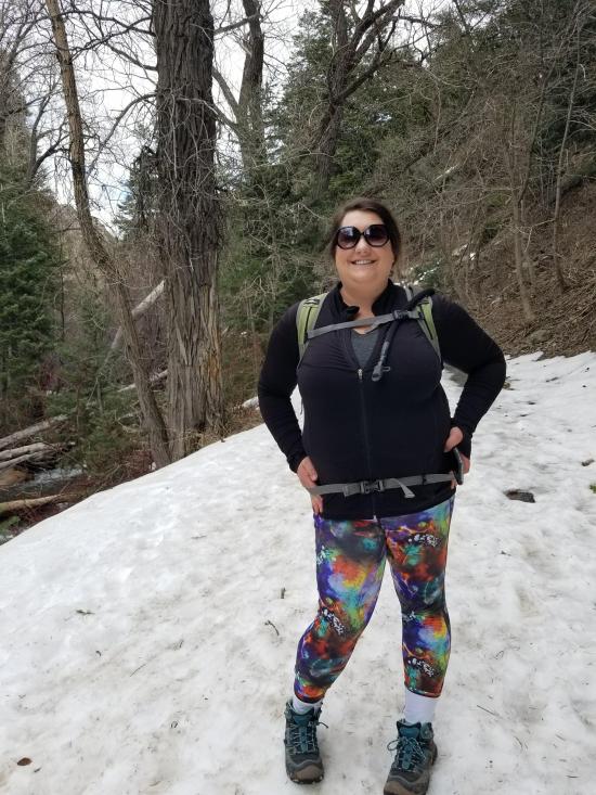
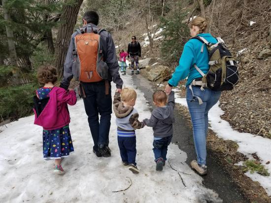
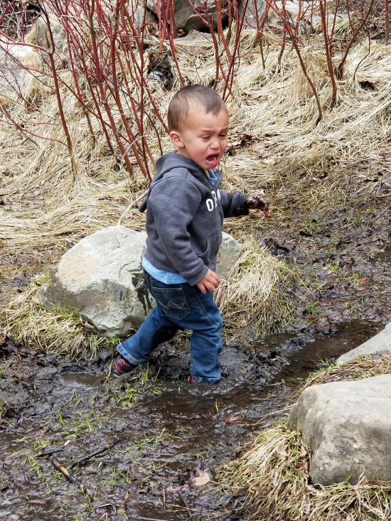
We originally intended to hike to Donut Falls, but when we got to the trailhead, we quickly realized that there was too much snow on the trail. So instead we hiked to Hidden Falls and then we hiked the Mill B South Fork Trail. It was a fun little hike, and I had fun taking pictures of the cascades.

East Portal Dispersed Campground
Mount Timpanogos Trail from Aspen Grove
Timpooneke Trail to Mount Timpanogos
Logan Ranger District Visitor Information Center
 Potable Water
 No Fires
 Waterfalls
 Rivers and Streams
 Mountains
 Marked Trails
 Restrooms - Flush
 Road Access is Paved
 Access Road is 2WD Accessible
 Walking Trails
 Wildflowers and Vegitation