 Hiking | Kings Peak Hike


Hype:
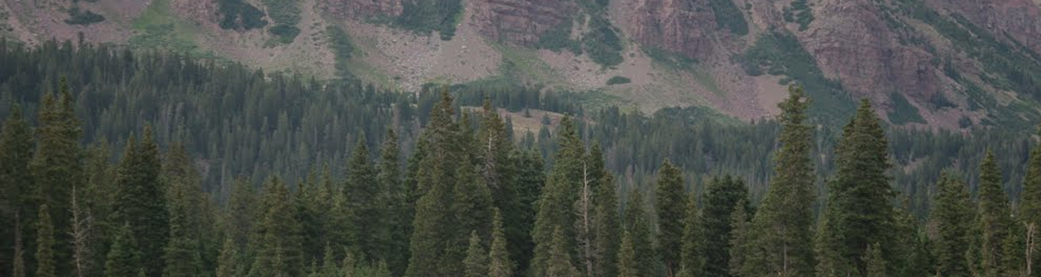
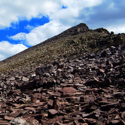
Kings Peak is the tallest mountain in Utah. We did this as a 3-day backpacking trip. We backpacked in the first day and camped by Bear Lake. On day two, we went through gunsite pass to the summit and then back to Bear Lake. On day three, we packed up camp and returned the way we came.
Trail Condition: Class 3 (Trail may have sections where hands are needed. Trail may not be visible in spots or may not exist at all.)
Time: 3 days
Length: 31.4 miles round trip
Elevation Gain: 3,690 ft
Fees: None
Recommended Ages:
 | 0-3 |
 | 4-11 |
 | 12-19 |
 | 20-49 |
 | 50-69 |
 | 70+ |
Recommended Months to Visit:
| Jan |
| Feb |
| Mar |
| Apr |
| May |
| Jun |
| Jul |
| Aug |
| Sep |
| Oct |
| Nov |
| Dec |
Navigate to 40.909218, -110.331253.
Closest City or Region: Uintah Mountains, Utah
Coordinates: 40.909218, -110.331253
By Jeremy Dye
Jeremy Dye, Pierson's Ward's Young Men,
Our ward was thinking about hiking King's Peak, but they decided to go to Flaming Gorge instead. I really wanted to do the hike, so I went with my cousin's ward. It was a hard hike but a ton of fun.
East Portal Dispersed Campground
Mount Timpanogos Trail from Aspen Grove
Timpooneke Trail to Mount Timpanogos
Logan Ranger District Visitor Information Center
 Hiking Trails
 Mountains
 Non-potable Water - filterable
 Fire Pans Required
 Rivers and Streams
 Lakes and Reservoirs
 Marked Trails
 Wayfinding
 No Restrooms
 Road Access is Paved
 Access Road is 2WD Accessible
 Viewpoint, Overlooks, Vistas
 Wildflowers and Vegitation
 Wildlife and Birding