 Canyoneering | Boundary Canyon


Hype:
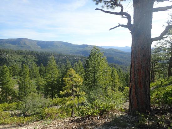
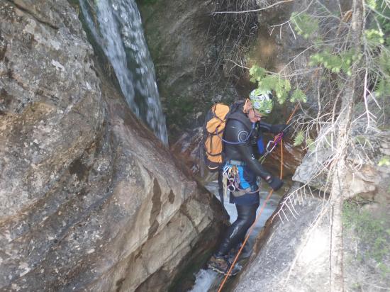
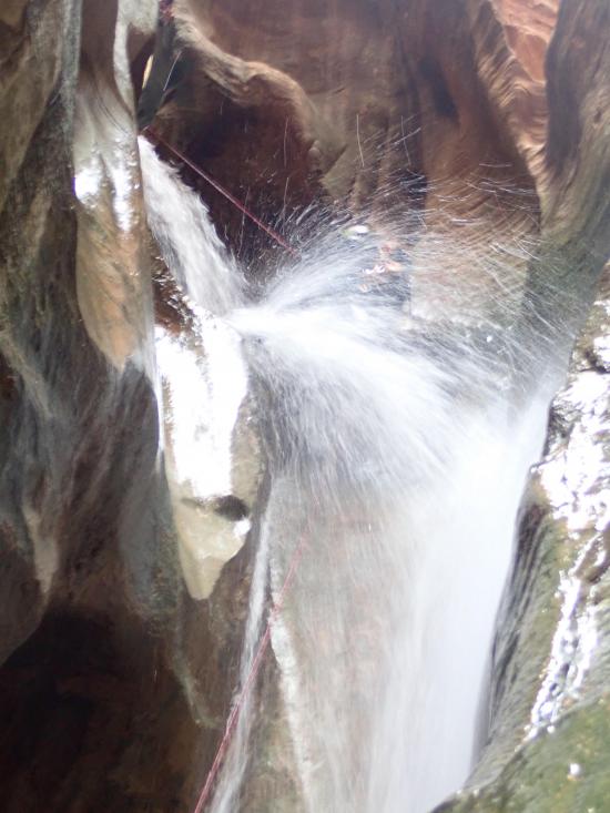
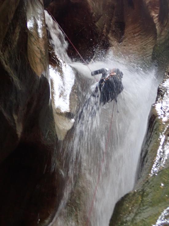
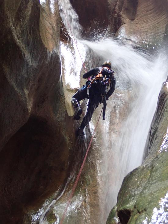
Boundary Canyon gets its name because it is right on the boundary of Zion National Park. The approach hike and most of the exit hike are inside of Zion, but the technical portion of the canyon is outside Zion, so no canyoneering permit is required. Boundary Canyon flows fairly heavily in the spring, which can make for some amazing waterfall rappels, and dies down as the season progresses. The canyon is very steep, with 8 or more rappels basically back-to-back. All the elevation loss comes with a price though, which makes the exit hike especially long, steep, and arduous.
Canyon Rating: 3C1 
Time: 7-10 hours
Length: 6.4 miles round trip
Longest Rappel: 200 ft
Gear: Standard canyoneering gear.
Fees: None
Recommended Ages:
 | 0-3 |
 | 4-11 |
 | 12-19 |
 | 20-49 |
 | 50-69 |
 | 70+ |
Recommended Months to Visit:
| Jan |
| Feb |
| Mar |
| Apr |
| May |
| Jun |
| Jul |
| Aug |
| Sep |
| Oct |
| Nov |
| Dec |
Permits: Permits not required
Navigate to 37.381667, -113.022763.
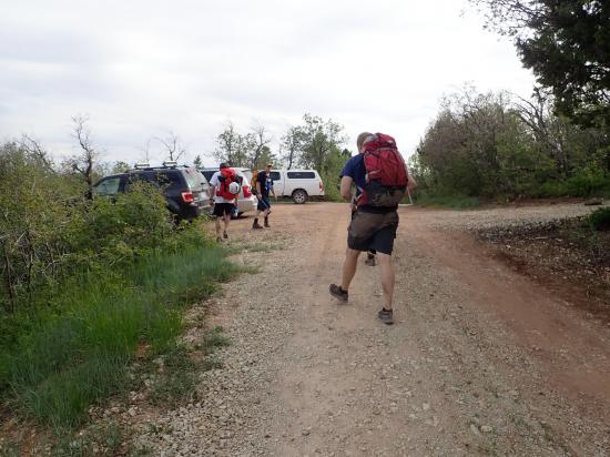
Access to Boundary Canyon is via Kolob Terrace Road. From Virgin, UT head north on Kolob Terrace Road. After 19.4 miles, turn right on Lava Point Road. In 0.9 miles, stay left at the first fork. Then in 200 ft, turn right at the next fork. After 1.4 miles, park at the West Rim Trailhead.
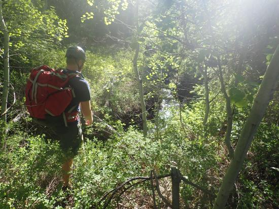
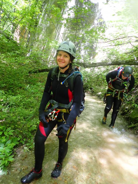
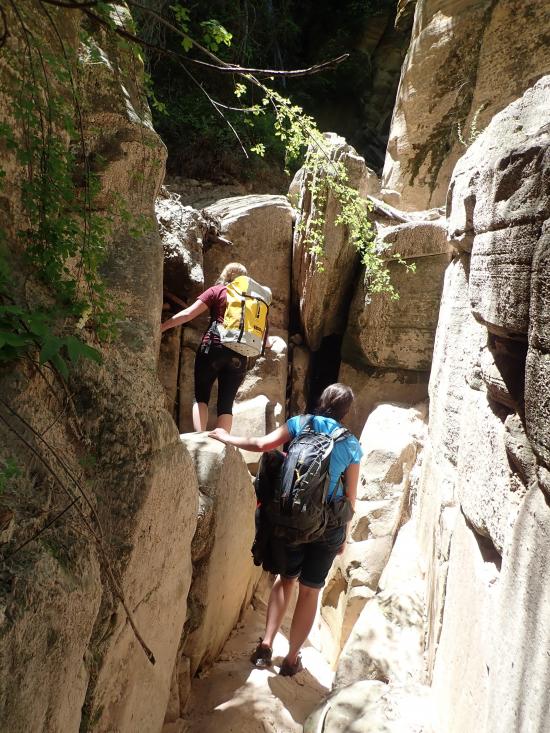
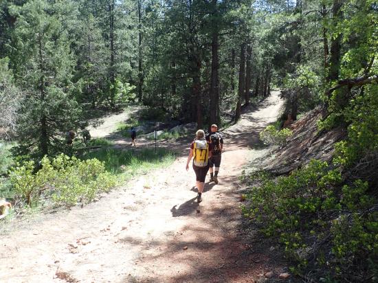
From the west rim trailhead, hike northeast along the dirt road. At the east end of the parking area is a gate that you can walk around. Keep following the road for three quarters of a mile. Leave the road and hike north down the ridge. There is no established trail. Make your way through the trees, heading downhill and generally northeast. You'll have to bushwhack a little bit, but if you keep your eyes open, you can generally find a way through the trees with minimal bushwhacking. From where you leave the dirt road, it is a little bit less than a mile to the top of Boundary Canyon.
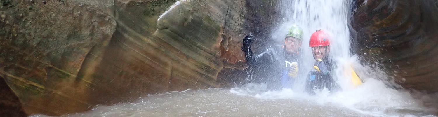
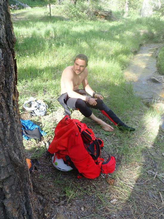
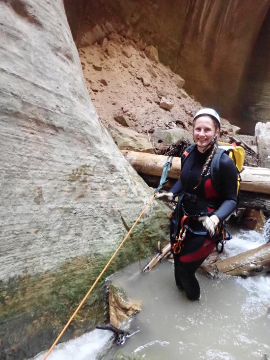
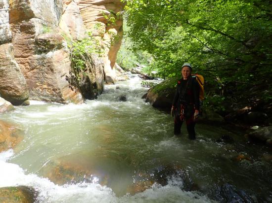
If the canyon is flowing, put on your wetsuit before the first rappel. If its not flowing, you probably won't need your wetsuit.
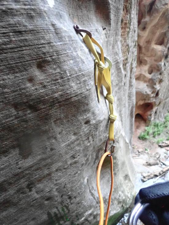
Drop #1: Rappel 170 ft from a tree right at the top of the canyon.
Drop #2: Immediatly after the first rappel, rappel 20 ft from a boulder anchor.
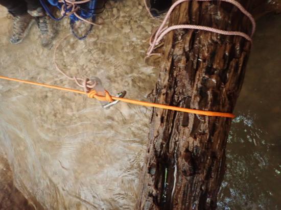
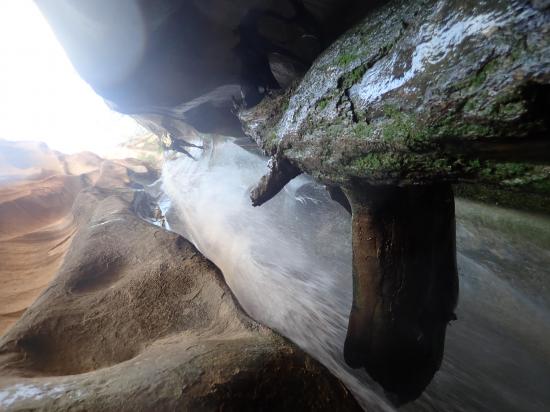
Drop #3: Rappel 30 ft from a wedged log down a constriction with a chockstone right at the lip. Drops 2 and 3 can be combined into a 70-foot multistage rappel.
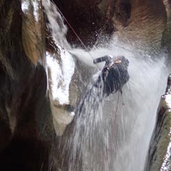
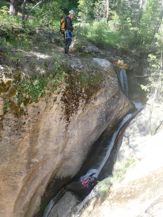
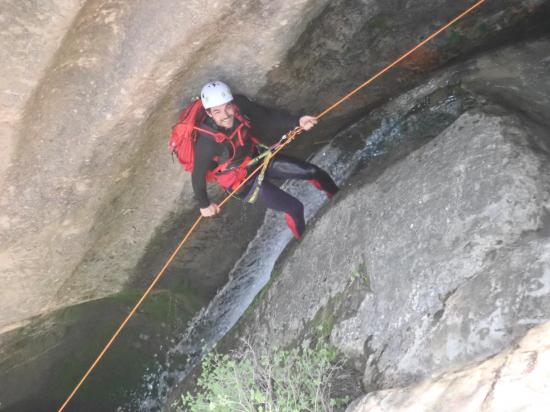
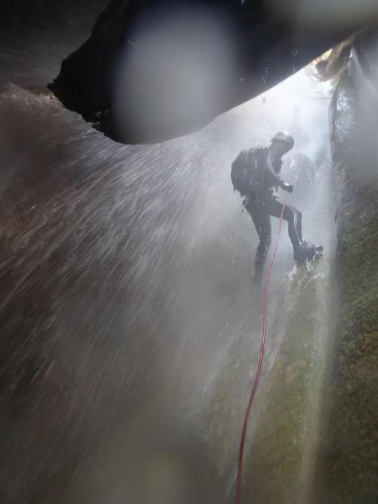
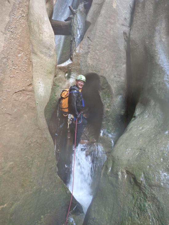
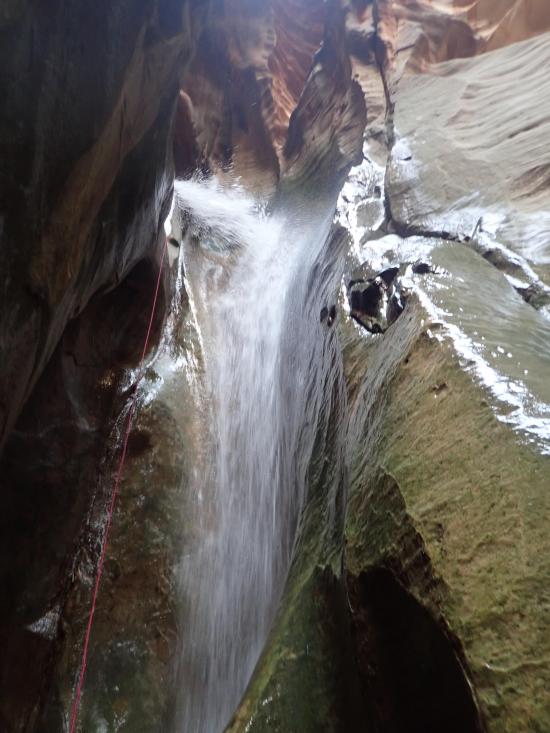
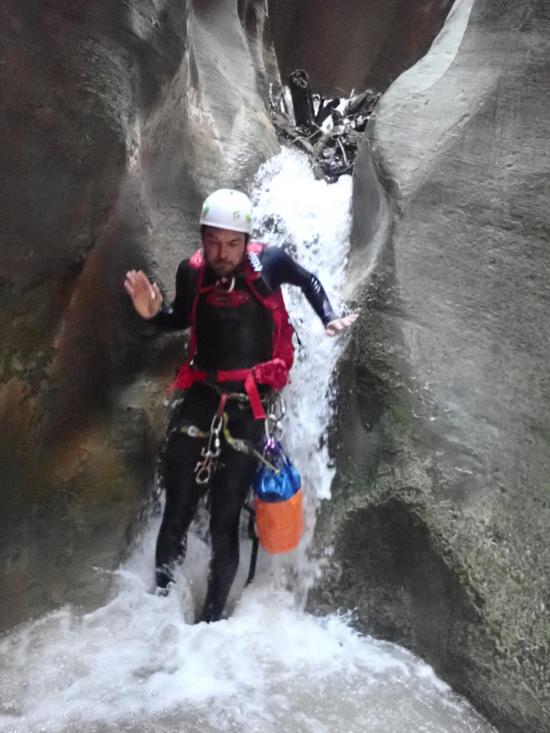
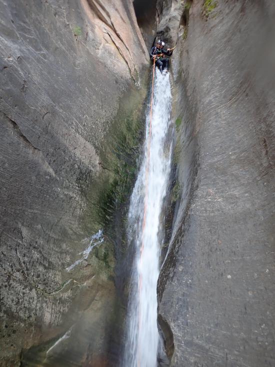
Drop #4: Rappel 100 ft from a two-bolt anchor. Don't throw your rope. Instead, lower it down to avoid getting it tangled in a giant log. At the bottom of the drop is an arch. This is my favorite rappel; when the canyon is flowing, it is a spectacular waterfall. Downclimb the log jam.
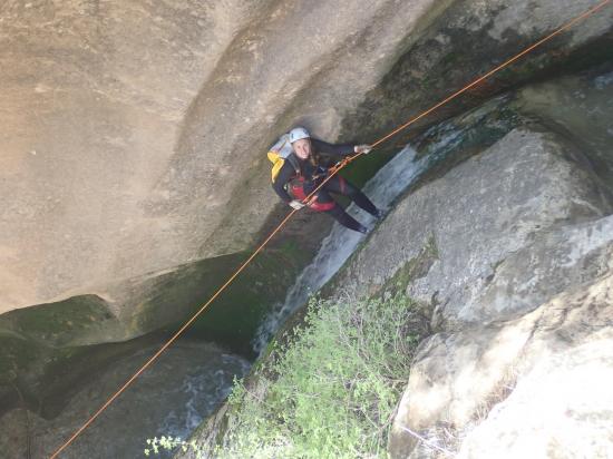
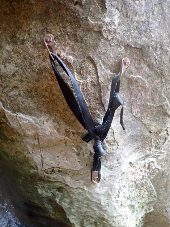
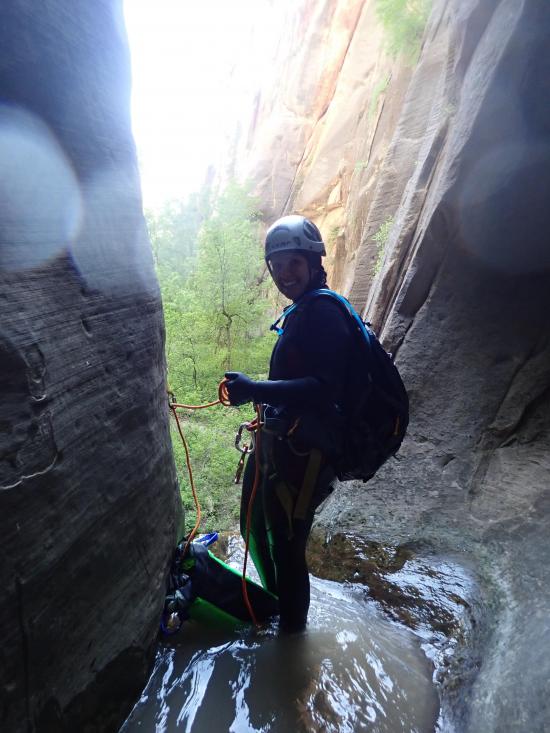
Drop #5: Rappel 70 ft from a three-bolt anchor.
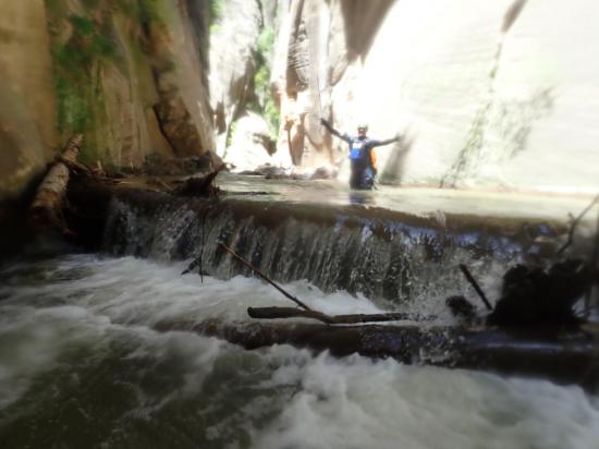
Drop #6: Rappel 50 ft from a wedged log. A short first stage, then the second stage has a shelf that shoot the water right into your face.
Drop #7: Rappel 20 ft from a wedged log.
Drop #8: Downclimb a log 10 ft.
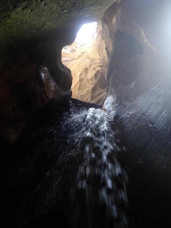
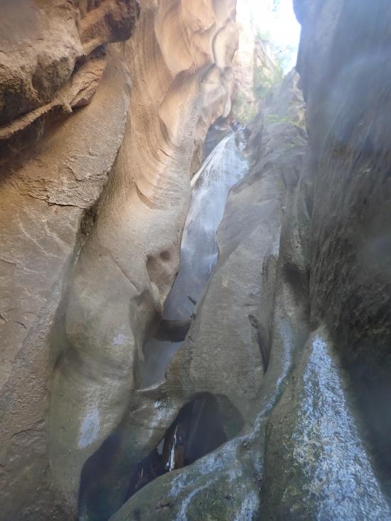
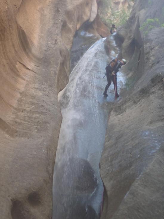
Drop #9: Rappel 70 ft from a two-bolt anchor. This is an almost vertical waterslide.
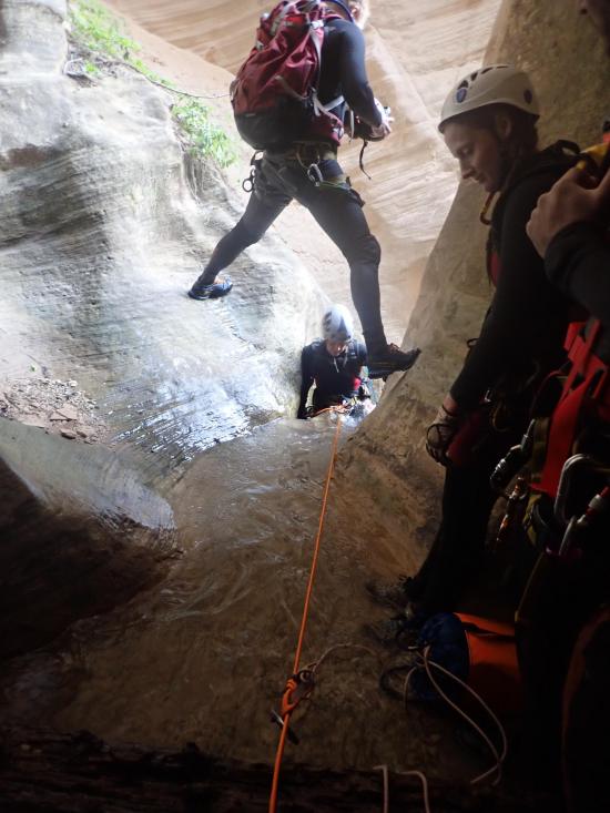
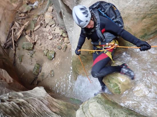
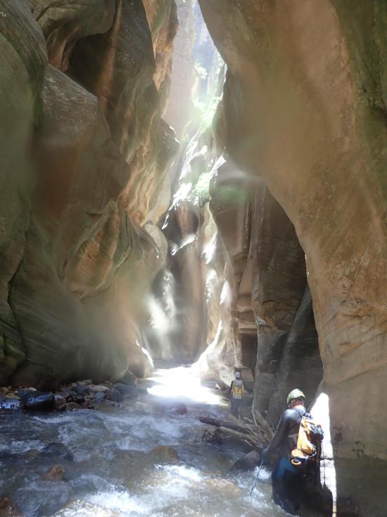
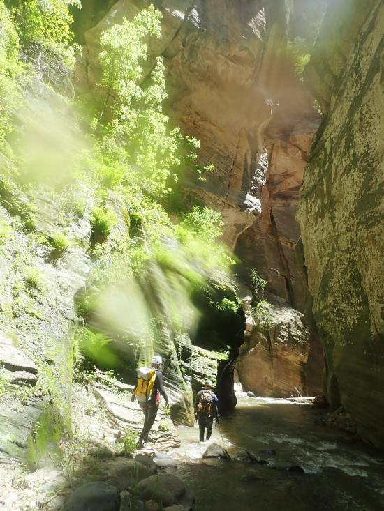
The technical portion is done. You can put away your ropes and harnesses. Depending on flows, Kolob can contain several wades or swims, so you may want to leave your wetsuit on until you reach the MIA exit.
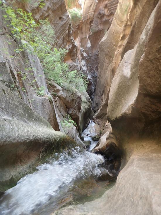
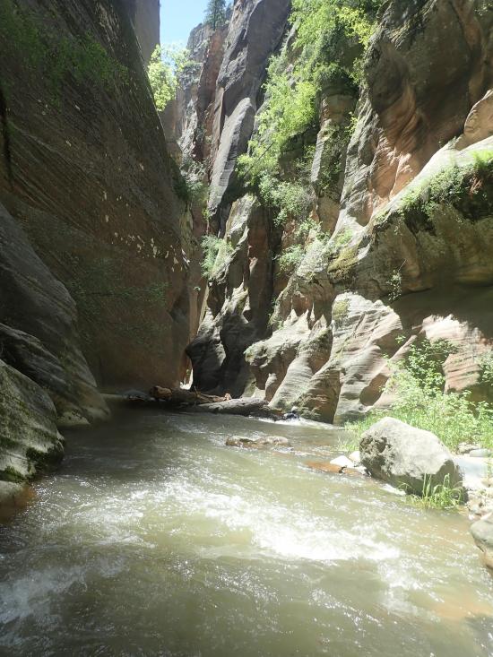
From the last rappel in Boundary, continue down canyon in the drainage until you reach the confluence with Kolob Creek. Once at the confluence, turn right and continue down Kolob Creek. After a scenic section of narrows, the canyon opens up a bit with a hillside on the right. This is the first place that looks reasonable to escape. This is the start of the MIA exit. There is usually a large cairne to mark the MIA exit.
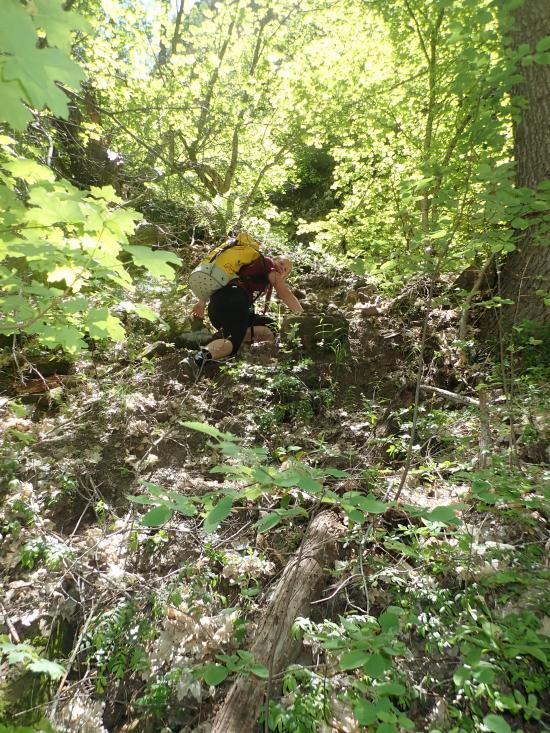
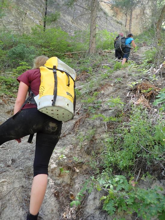
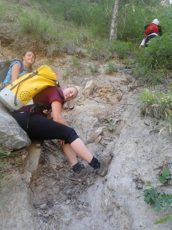
Man, the MIA exit is a beast! It's nearly vertical, covered with loose sand, clogged with trees, and it feels like it goes up forever with no break. There are social trails in places, but mostly you'll have to find your own way up.
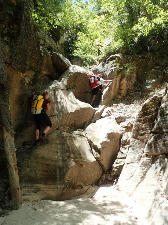
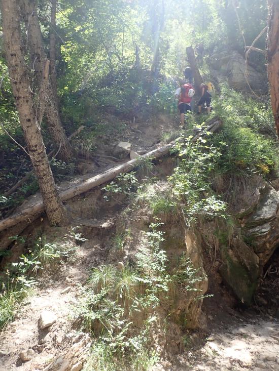
Start by heading straight up the hillside. It's wooded, and the ground is loose, so progress is slow. Drop down into the gully on your left and follow the wash upstream to a 20-foot-tall dryfall. There are several ledges that make it a very doable 4th class climb.
Continue up another 500 feet to the next dryfall. There is a huge dryfall from the drainage on the southwest, but you'll continue up the smaller dryfall to the northwest.
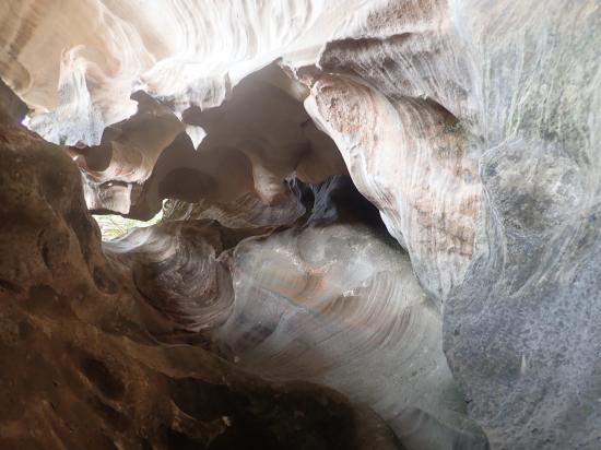
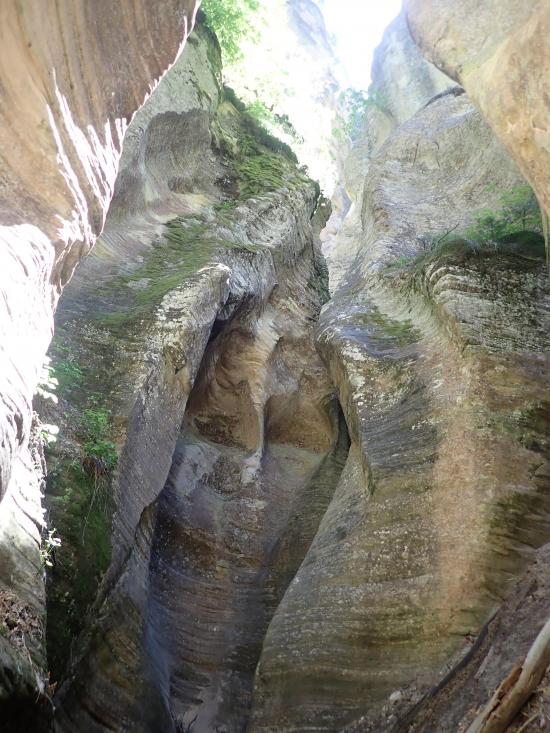
The trail then switchbacks up the hill to a saddle. From the saddle, continue west down into the ravine. The trail will take you right past the bottom of Pipe Spring Canyon. Take a minute to explore the lower narrows up to the bottom of the last rappel in Pipe Spring Canyon. It is very scenic and only takes a minute or two.
From the bottom of Pipe Spring Canyon, continue northwest up the drainage. You'll soon come to a confluence. Take the left (south) fork, then almost immediately after the confluence, leave the wash and take the well-established trail up the left bank.
The trail is quite established through this section. It hugs the base of the cliffs on the south and is less steep than some of the other portions. Near the top of the hike, the trail peters out. If you lose the trail, just continue northwest up the hill until you reach the dirt road.
Once you reach the dirt road, follow the dirt road south about 500 feet, where you'll leave the road and take a dirt trail north almost straight up the ridge. This trail will take you to another dirt road. Follow this dirt road west about 2 miles back to the trailhead.
Closest City or Region: Zion National Park
Coordinates: 37.391921, -113.000754
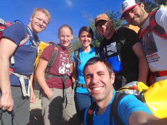
By Jeremy Dye
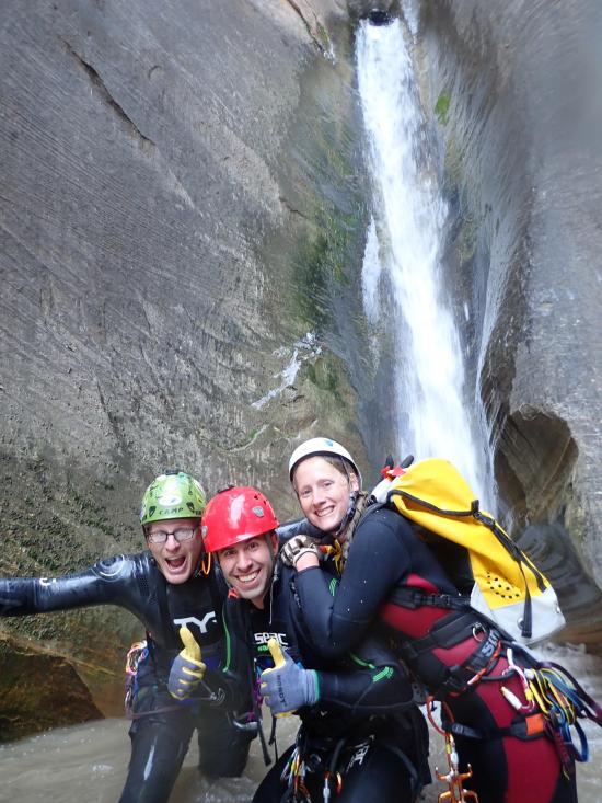
Jeremy Dye, Tara Dye, Ondylyn Wagner, Ryan Baker, Dakota Belliston, Sean Whittacre,
Start: 8:10
Top of Boundary Canyon: 9:05
Last Rappel: 11:30
Confluence with Kolob Creek: 12:10
Bottom of MIA Exit: 2:10
Top of MIA Exit: 4:25
End: 6:00
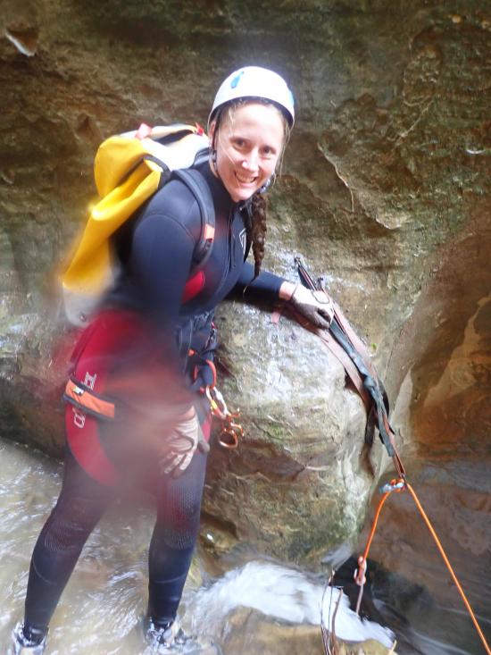
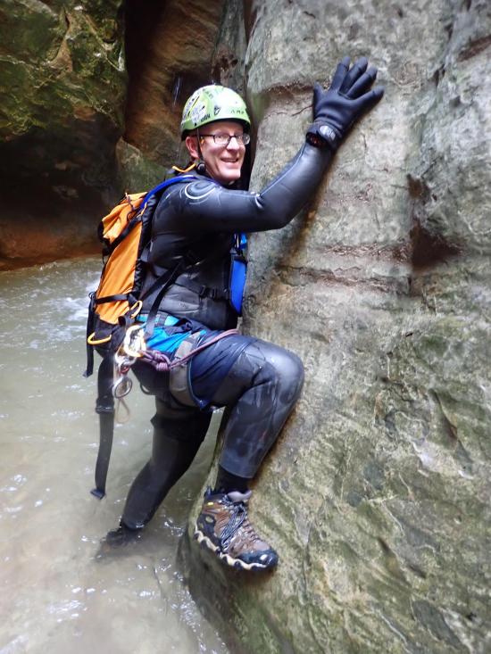
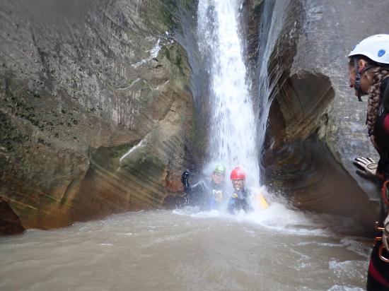
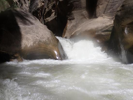
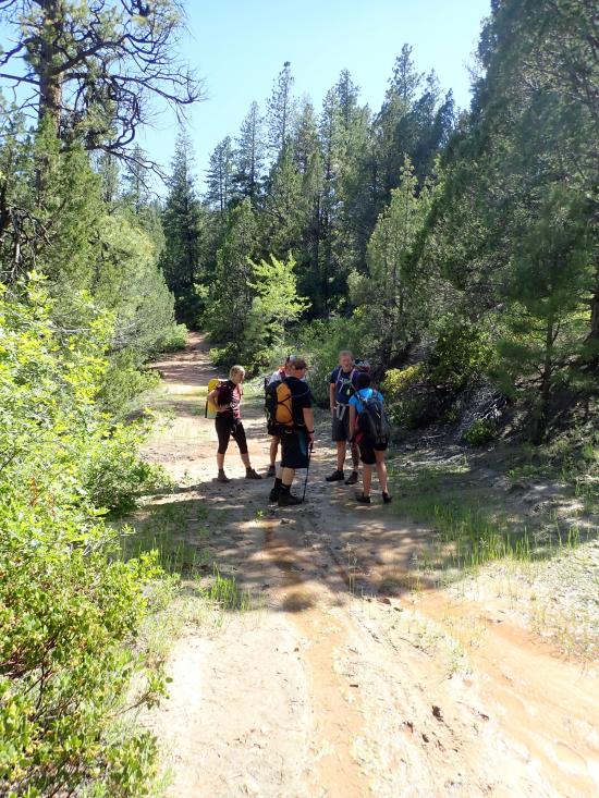
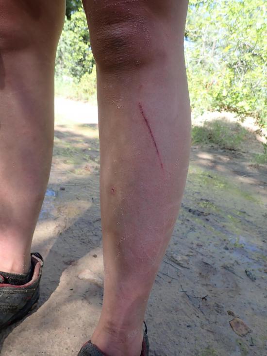
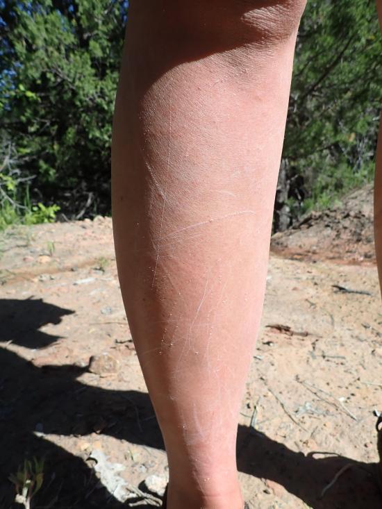
Boundary Canyon was AWESOME! We had a high water year and did Boundary when it was really flowing. The waterfall rappels were amazing, especially the huge waterfall with the arch at the bottom and the last rappel down a waterslide. They were releasing water out of Kolob Reservoir at 35 cfs, which made for a crazy hike down Kolob Creek after the canyon. Walking down Kolob was like walking on snot-covered bowling balls; it was so slick. We half walked, half floated down. Floating was painful because we got slammed into a ton of rocks, but walking was sketchy too. The hike up the MIA was brutal. Ondy passed out on the exit hike, and Tara just barely caught her before she tipped backwards off the edge of the hill. We missed the dirt road junction on the hike out and ended up hiking on the wrong dirt road, which added about a half hour of road walking. It was a great trip, and we all had a great time.
Hidden Canyon (Technical Route)
Kolob Reservoir Primitive Camping
Hidden Canyon (Technical Route)
Flaming Gorge National Recreation Area
Little Black Mountain Petroglyph Site
St. George Dinosaur Discovery Site at Johnson Farm
Zion National Park Visitor Center
 Rappels
 Downclimbs
 Wading
 Fixed Anchors
 Wetsuit Generally Required
 Non-potable Water - filterable
 Arches
 Waterfalls
 Rivers and Streams
 Mountains
 Wayfinding
 Bushwhacking
 Road Access is Dirt - Low Clearance
 Access Road is 2WD Accessible
 Wildflowers and Vegitation
 Wildlife and Birding

