 Hiking | Congress Trail to General Sherman Tree


Hype:
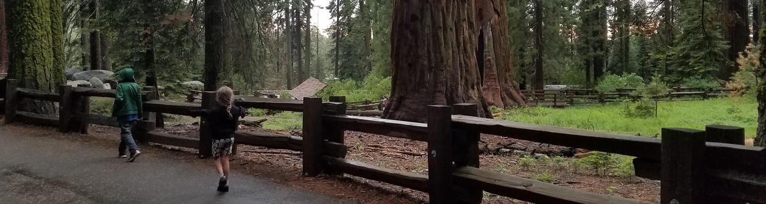
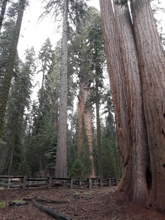
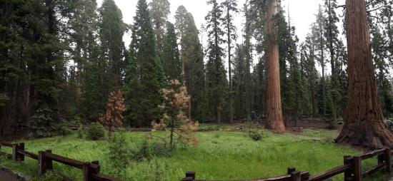
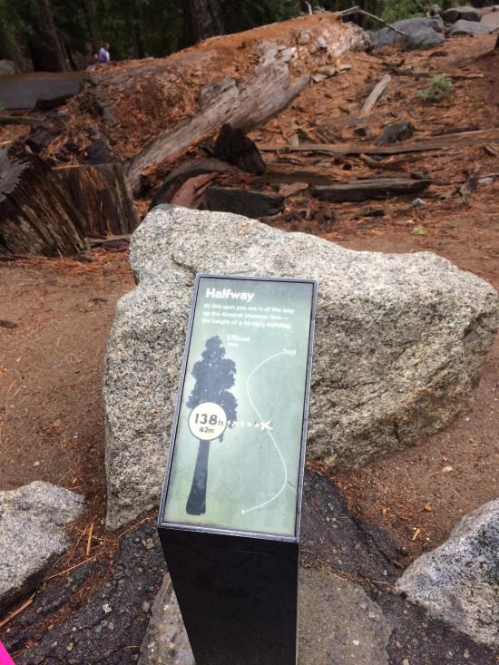
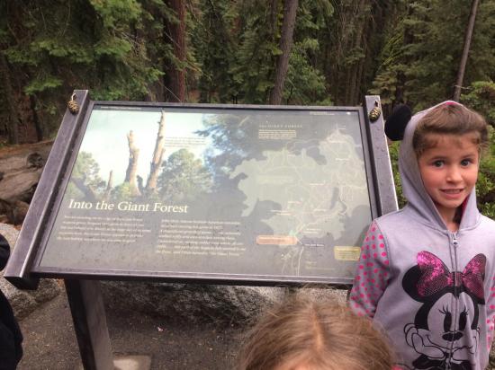
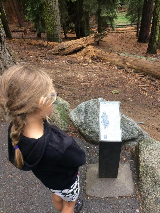
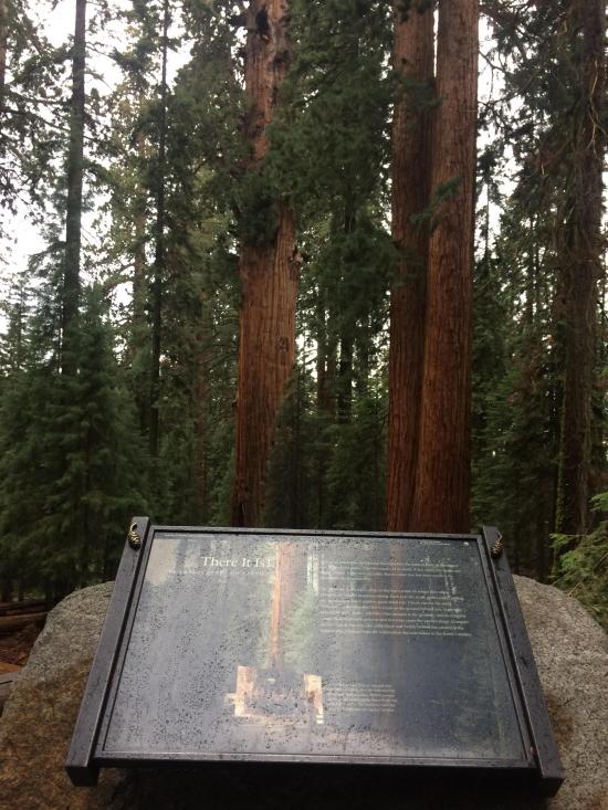
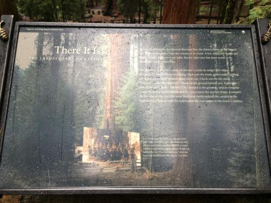
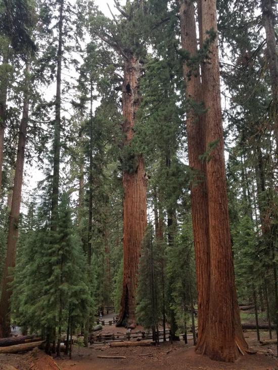
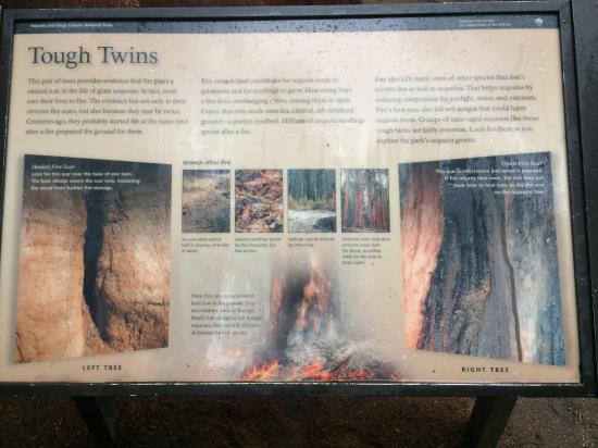
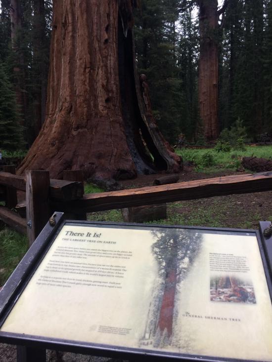
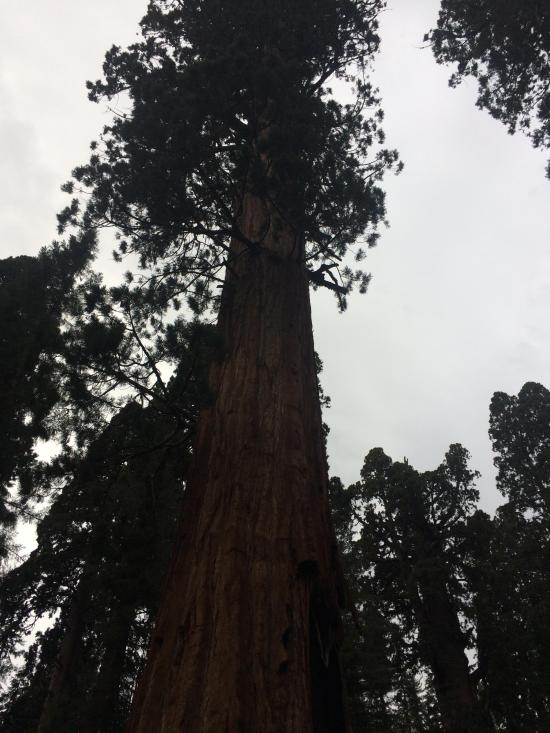
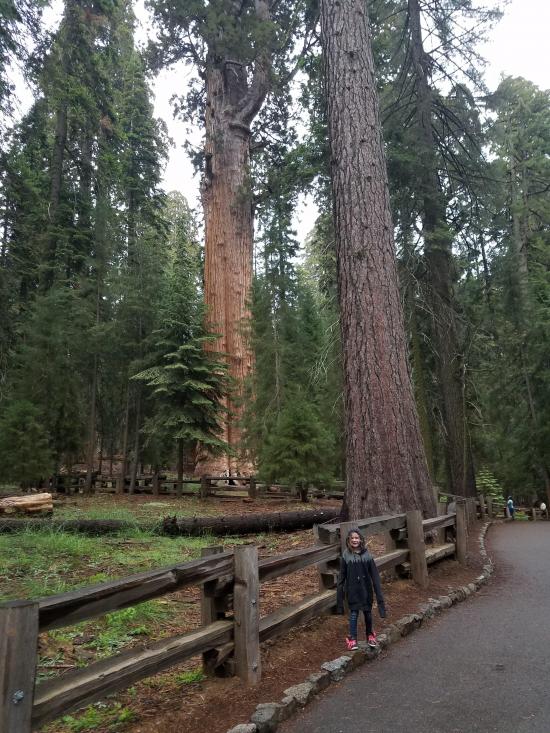
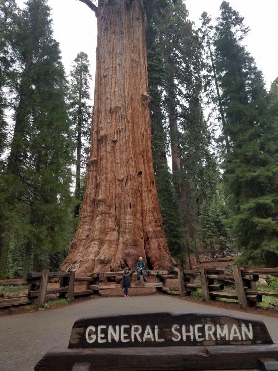
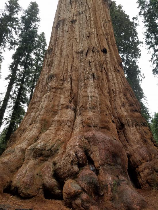
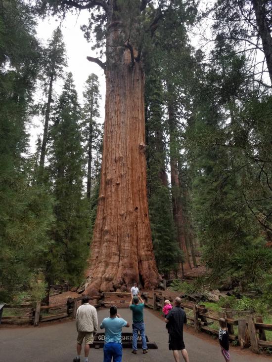
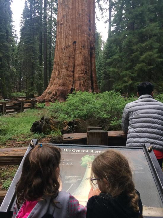
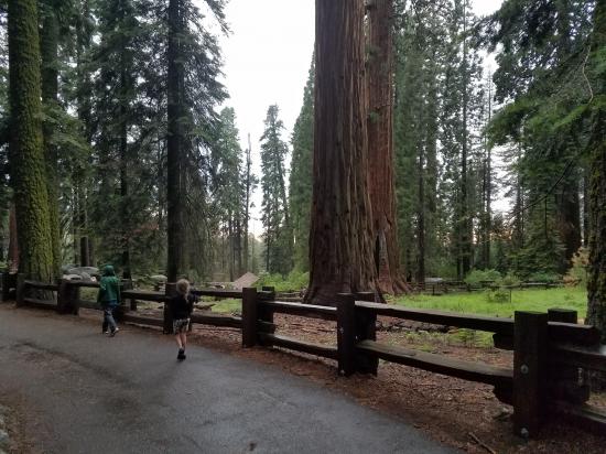
Two trails lead to the Sherman Tree. Parking for the Main Trail is off the Wolverton Road. The trail runs half a mile down to the tree. It has a few stairs and is paved. As you walk, you'll enter the Giant Forest sequoia grove. Exhibits along the trail explain the natural history of giant sequoias. The walk back is slightly uphill.
Trail Condition: Class 0 (Trail is paved. No elevation gain.)
Time: 15 minutes to 1 hour
Length: 1-1.5 miles
Elevation Gain: Negligible
Fees: Park Entrance
Recommended Ages:
 | 0-3 |
 | 4-11 |
 | 12-19 |
 | 20-49 |
 | 50-69 |
 | 70+ |
Recommended Months to Visit:
| Jan |
| Feb |
| Mar |
| Apr |
| May |
| Jun |
| Jul |
| Aug |
| Sep |
| Oct |
| Nov |
| Dec |
Navigate to 36.584775, -118.749847.
From the main trailhead, head south. The trail system is paved and well signed. Continue for 0.5 miles to the General Sherman Tree.
Closest City or Region: Sequoia National Park, California
Coordinates: 36.581673, -118.751448
By Tara Dye
Tara Dye, Savannah Dye, Madilyn Dye, Cooper Dye, Shawn Parker, Marci Parker, Callie Parker, Wade Parker, Aria Parker, Lillian Parker,
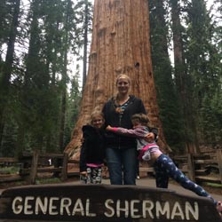
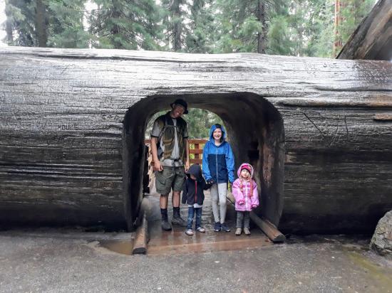
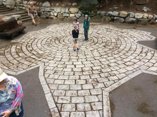
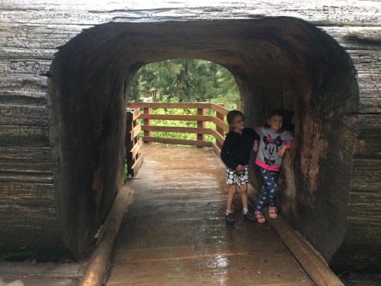
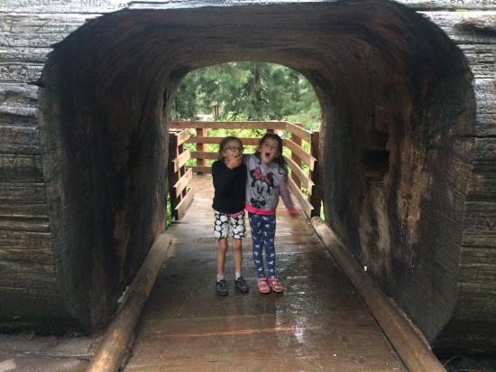
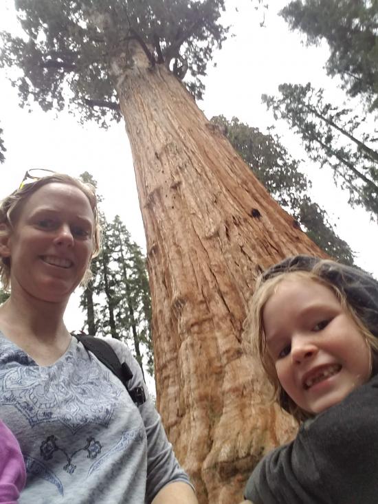
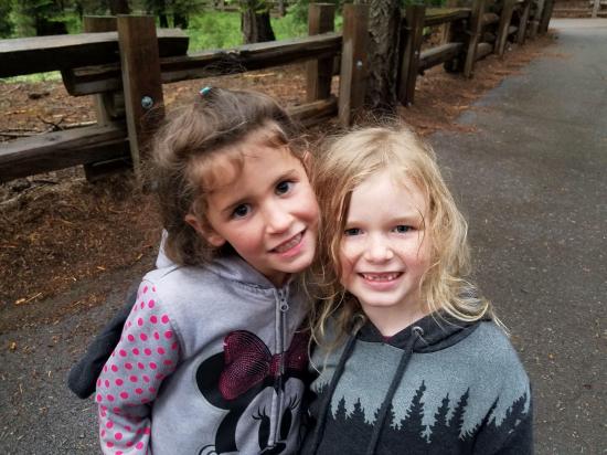
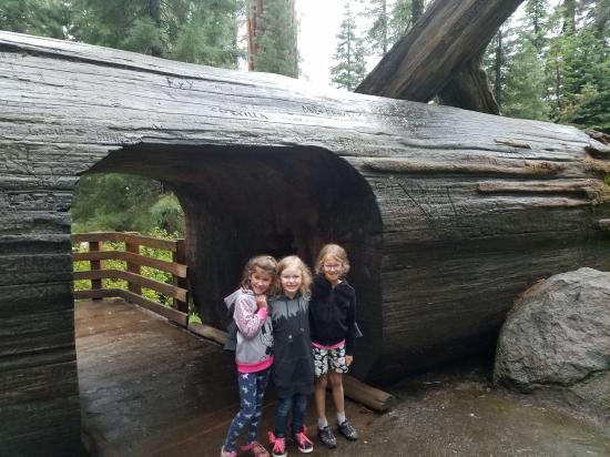
Shawn took Callie, Lillian, and Cooper to the Congress Trail while the rest of us visited Crystal Cave. When we were done with the cave tour, we met up with them and explore the Congress Trail as well. We started at the regular trailhead to the north and hiked down the trail. We were amazed at the size of the trees. They were huge! The footprint was especially eye-opening because we could stand in the middle of the footprint and feel the scale. We explored all up and down the different paths then headed back.
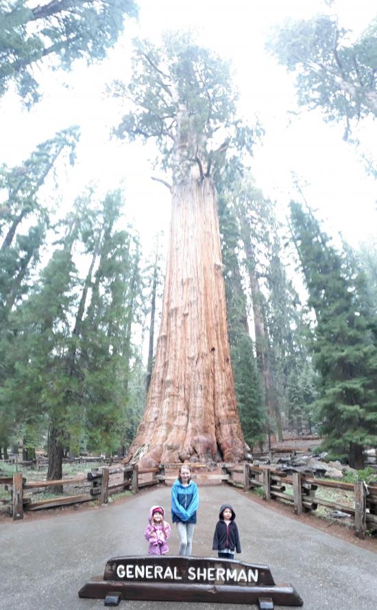

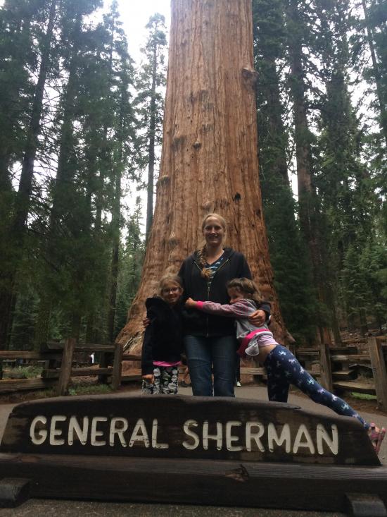
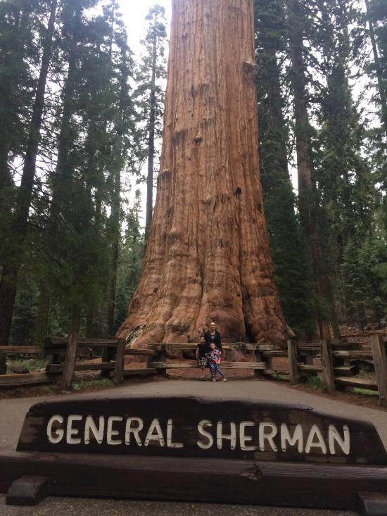
Congress Trail to General Sherman Tree
Tokopah Valley Trail to Tokopah Falls
 Hiking Trails
 Marked Trails
 No Drinking Water
 Restrooms - Flush
 Road Access is Paved
 Access Road is 2WD Accessible
 Interpretive Signs
 Wildflowers and Vegitation