 Hiking | Rock Walk


Hype:
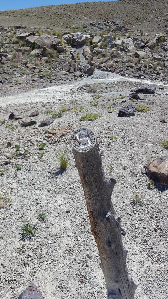
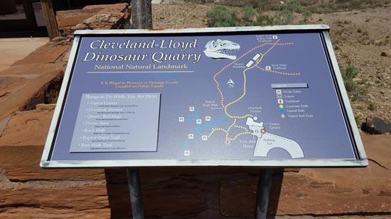
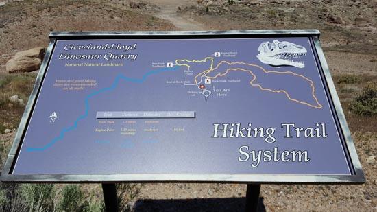
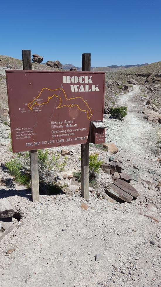
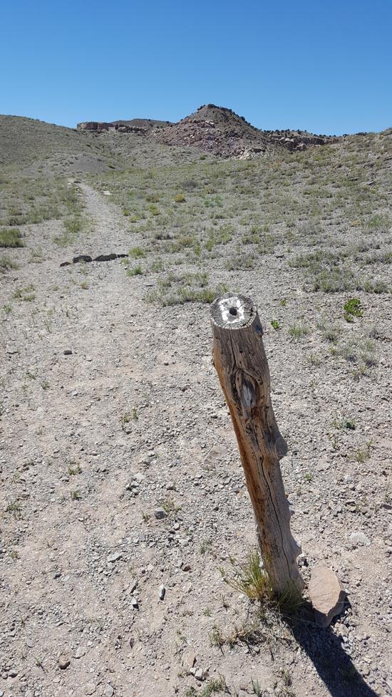
The Rock Walk is a 1 1/2 mile interpretive foot path in Cleveland-Lloyd Dinosaur Quarry. The trail makes a loop around the washed below the visitor center and quarry site. The trail is interpretive in nature with various facts of interest pointed out at numbered locations along the route.
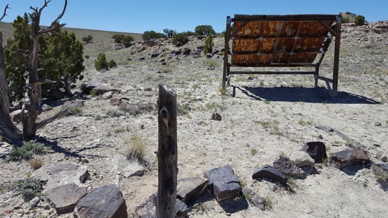
This trail covers moderate terrain and can take from 3/4 of an hour to over 2 hours to hike. There are 2 shade structures with benches along the way but NO drinking water. A full canteen and comfortable walking shoes are highly recommended.
Please do NOT begin walking the trail within an hour of closing time unless your vehicle is parked beyond the outer gate. The gates across the road to the quarry will be LOCKED at closing time.
NO wheeled conveyances are allowed (ie, baby strollers, bikes, etc.)
Trail Condition: Class 1 (Trail is either paved or gravel. Navigation skills are not needed because there is only one trail or because there are signs. Elevation gains are gradual or there are stairs.)
Time: 1 hour
Length: 1.5 miles round trip
Elevation Gain: Negligible
Fees: Entrance Fee
Recommended Ages:
 | 0-3 |
 | 4-11 |
 | 12-19 |
 | 20-49 |
 | 50-69 |
 | 70+ |
Recommended Months to Visit:
| Jan |
| Feb |
| Mar |
| Apr |
| May |
| Jun |
| Jul |
| Aug |
| Sep |
| Oct |
| Nov |
| Dec |
Links: www.blm.goven.wikipedia.org
Navigate to 39.324355, -110.687132.
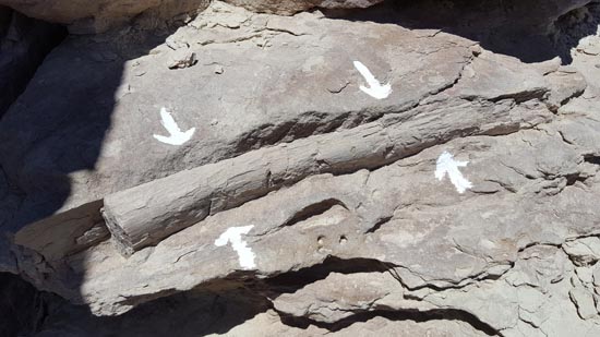
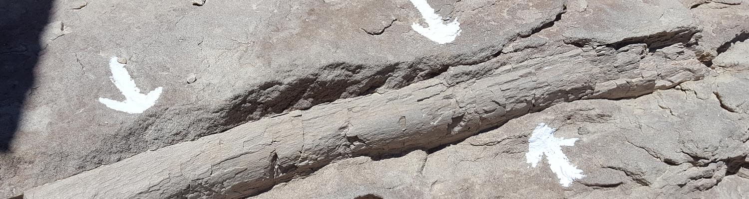
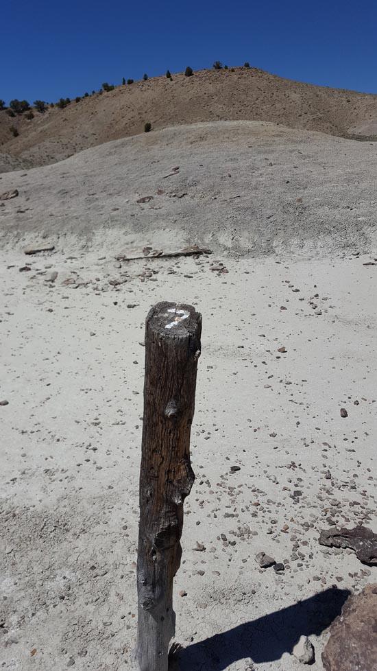
Embedded in the rock ledge to the left of the path, across from the post marked with the number 1, is a partial rib of a sauropod. Isolated fossils like this cannot tell us much on their own, but in conjunction with the surrounding rocks and other fossils, they are very useful for understanding the environment in Jurassic times. This rib is in a rock layer underneath the main bone bed exposed in the quarry buildings and so was deposited before the bone bed formed.
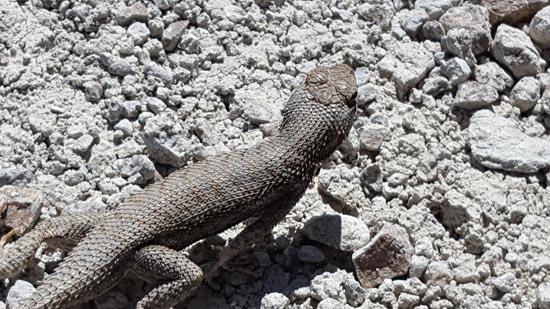
While the "terrible lizards" (dinosaurs) were ruling the planet, another type of lizard appeared—the true lizard. Small and similar to the ones you might see here, these animals survived when the dinosaurs didn't. Varieties in this area are: Side-blotched, Western whiptail, Sagebrush, Short-horned, and Eastern fence lizard.
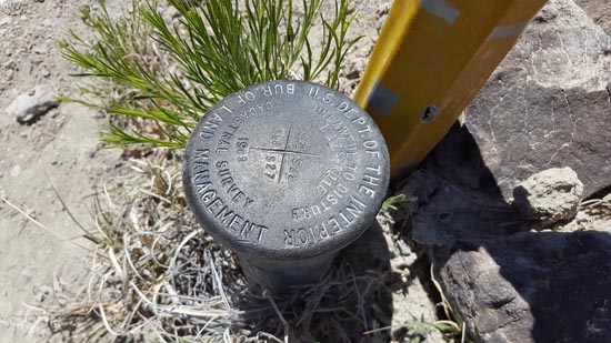
Near your feet is a brass cap with markings. This is a section corner marker. Precisely placed by government surveyors, this brass cap locates the common corner of four sections. In the U.S., a section is one square mile of land. Most of the U.S. west of the Appalachians has been divided into parcels of townships and sections according to a system recommended by Thomas Jefferson. Markers like this establish legal boundaries and are protected by law. Survey markers like this have carried warning signs for at least 3,500 years: the ancient Babylonians inscribed curses on their boundary stones.
You are standing on ground that hasn't seen the light of day for over 142 million years. It is part of the Morrison Formation, which has been called the most studied formation on Earth. Not only is this formation one of the premier sources of dinosaur bones in the world, but it is also an important source of uranium. Sometimes these two resources overlap and the fossilized dinosaur bones are radioactive. Here at CLOQ, however, that is not the case. The matrix encasing the bones is actually more radioactive than the bones themselves.
If you look around, you will see many rocks with a dark or black tint. Were you to break one open, you would see that this coloring is only 'skin' deep. It is called "desert varnish" and is a common feature in deserts. It is the result of the precipitation of iron and manganese oxides out of the atmosphere and attaching to the rock by a combination of photochemical and bacterial processes. Prehistoric peoples etched pictures through the varnish on rocks similar to these. These works of art are called petroglyphs. The black coloration of the bones from the CLDQ is most likely also due to the presence of manganese oxide. It became part of the fossils by a very different process than the ones responsible for the desert varnish.
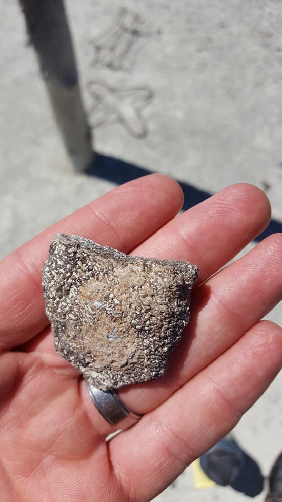
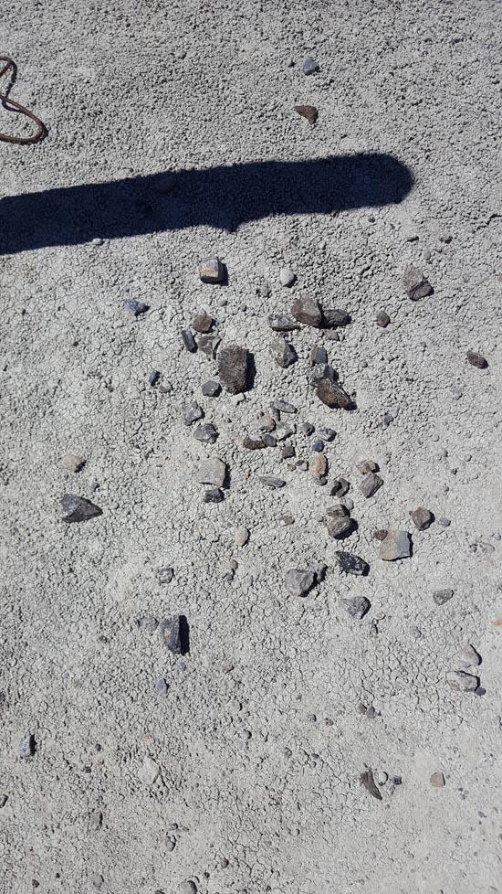
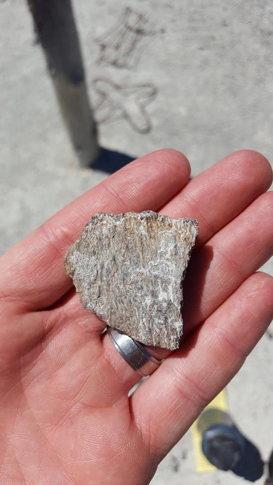
This knoll was excavated by paleontologists about 40 years ago. Most of the sauropod dinosaur was removed, but fragments of fossilized bone are still visible scattered across the surface here. Before removal, plaster was used to jacket the fragile bones, protecting them in much the same way a cast protects a broken arm or leg. It is okay to pick up these fragments but please put them back down where you found them for others to enjoy.
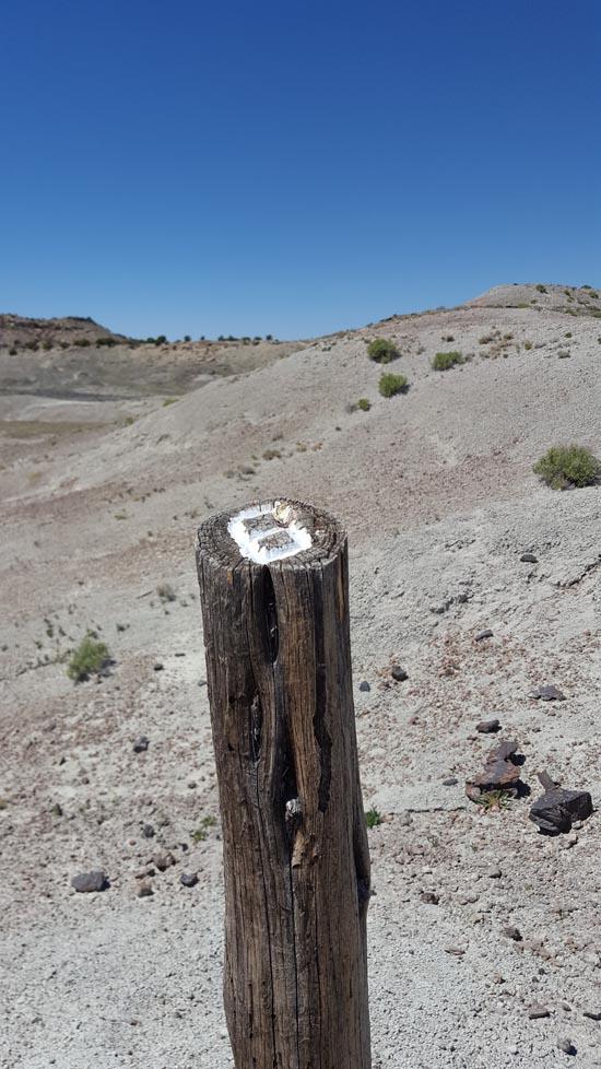
*Follow the trail to the left, over the top of the knoll.*
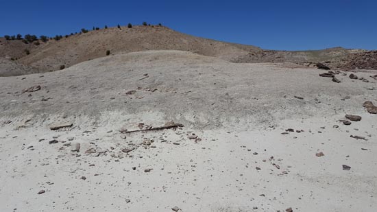
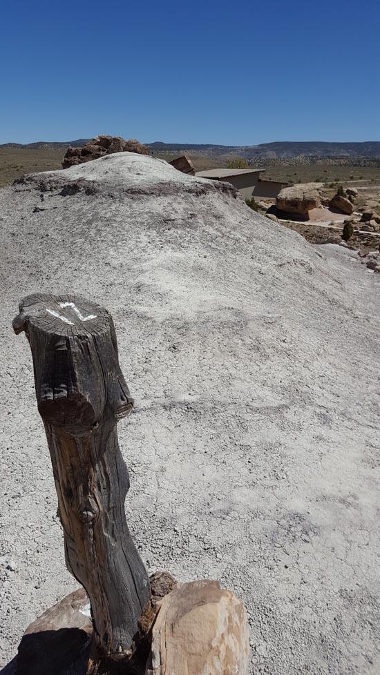
The large grayish mound in front of you is largely made up of bentonitic clays. These clays are minerals that have an interesting double layer crystal structure. This layering allows the clay mineral to temporarily absorb water molecules between the two layers. As the clay dries out, the water molecules are removed from between the crystal layers and the clay crystal shrinks back to its original size and shape. This behavior of changing size because of the presence or absence of water lead to the common name of "shrink and swell clays" for any clay minerals which behave in this way. The repeated cycle of shrinking and swelling gives the surface of this deposit and others like it a texture that many geologists find similar to popcorn, hence the term "popcorn texture" as an identifying characteristic of "shrink and swell" clays. These clays are hard on dinosaur bones: the repeated size changes squeeze and release any bones buried in the clays, causing them to shatter over time.

How do paleontologists know where to find dinosaur fossils? Seismic testing, x-rays, and Geiger counters are methods tried in the past, all with mixed results. The human eyeball is still the most reliable method. The color of a rock layer can give helpful clues. Brighter colored layers are sediments that were deposited in oxidizing environments. Oxygen is a key component in the decay of organic matter. Therefore, layers with brighter colors are unlikely to contain fossils. Darker colors indicate that the sediment was deposited in an oxygen-poor environment. No oxygen means no decay of organic matter, which greatly increases the chances of fossilization occurring. This is why paleontologists are more likely to look for and find fossils in darker sediments than in lighter colored ones. If you find an unusual fossil, please report the location to a member of the quarry staff.

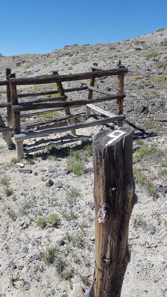
The trail now goes along a wash which in wet periods can become a stream. Do not walk in this wash if it is starting to rain. The water level can rise very quickly. The fence is in place in order to keep cattle, which graze here in springtime, from altering the features of the National Natural Landmark.
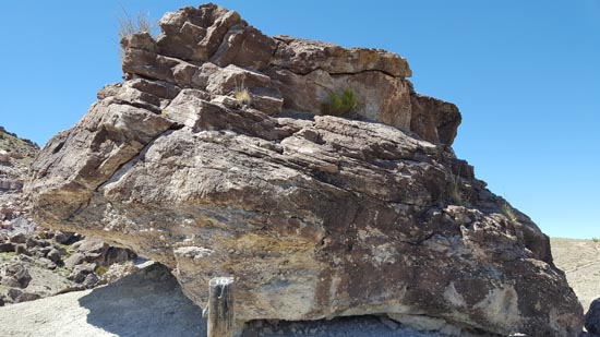
This boulder was once part of the cliff-forming rock layer on top of the hill to your left. As the soft shale underneath the cliff erodes away, the weight of the overhanging cliff becomes too great for the rock to bear and a large chunk breaks off and rolls downhill. Closer examination of this boulder shows that it is made of rounded rock particles ranging in size from sand grains up to fist-sized cobbles. The rounding is evidence of stream transport. The wide variety in sizes suggests a flood deposit or a fast-moving stream.
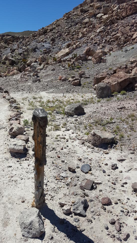
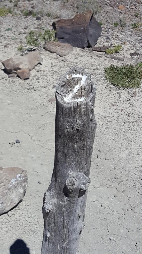
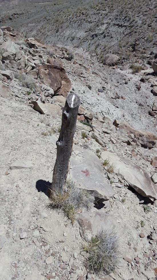
The lettered fiberglass posts mark coreholes, where samples were taken in an effort to determine the extent of the bone deposit. About a third of these coreholes produced bone material, which suggests that the bone bed extends at least 30 feet further into the hillside.
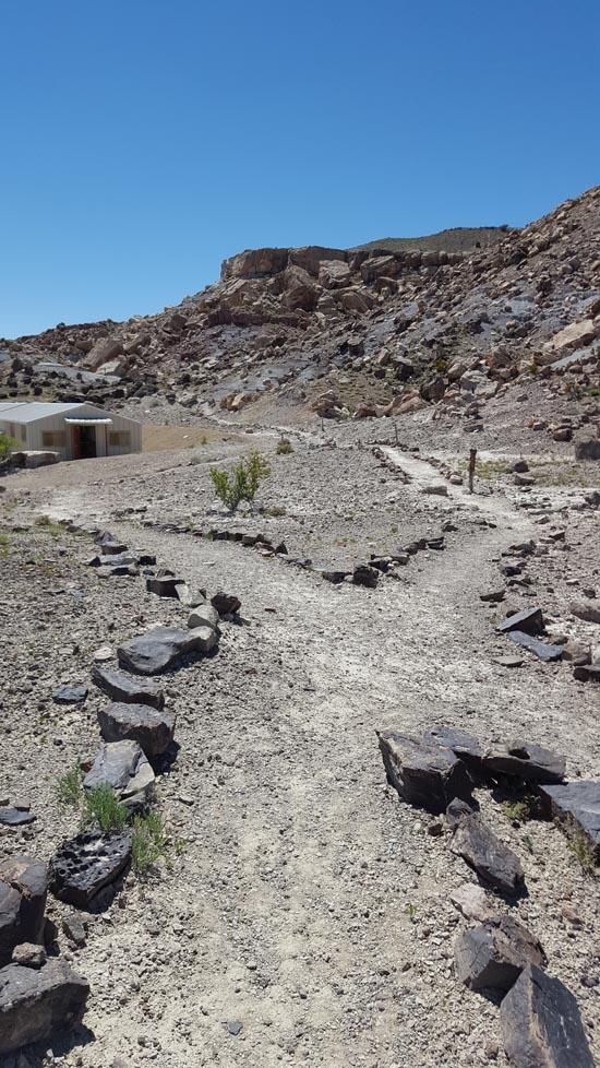
Northeast of the small hill you're currently standing on are the quarry buildings. Visible between the 2 large brown boulders which are roughly straight out from the far ends of the buildings is a low ledge of orange-brown limestone marked by 3 cedar trees. A barbed wire fence runs along the crest of the hill behind the cedars. A similar ledge of orange-brown limestone is exposed at the edge of the parking lot behind the Visitor's Center. This layer was once thought to be the same layer that is present in the quarry buildings and 'caps' the bone bed. Inside the buildings, it is a dark gray color because it has not undergone the same weathering processes as the orange-brown outcrops. A sedimentological study by Marina Suarez in 2002 using rare earth element analysis demonstrated that these limestone lenses were deposited in separate lakes or ponds.
*Soon the trail will intersect with a route back to the Visitor's Center. If you have questions about the area, members of the quarry staff will be happy to try and answer them for you.*
Closest City or Region: Cleveland, Utah
Coordinates: 39.324355, -110.687132
By Jeremy Dye
45 minutes
I wasn't very impressed with this hike. I was expecting to see a bunch of fossils. There was only one. Perhaps to people not familiar with Utah, the interpretive stops would be informative, but to me I thought that the stops were not very interesting.


 Hiking Trails
 Dinosaur Fossils
 Interpretive Signs