 Hiking | Vernal Fall Trail


Hype:
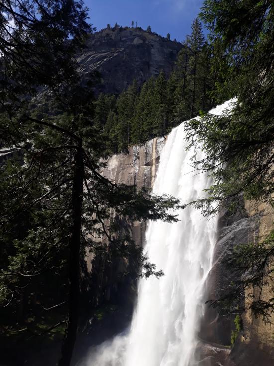
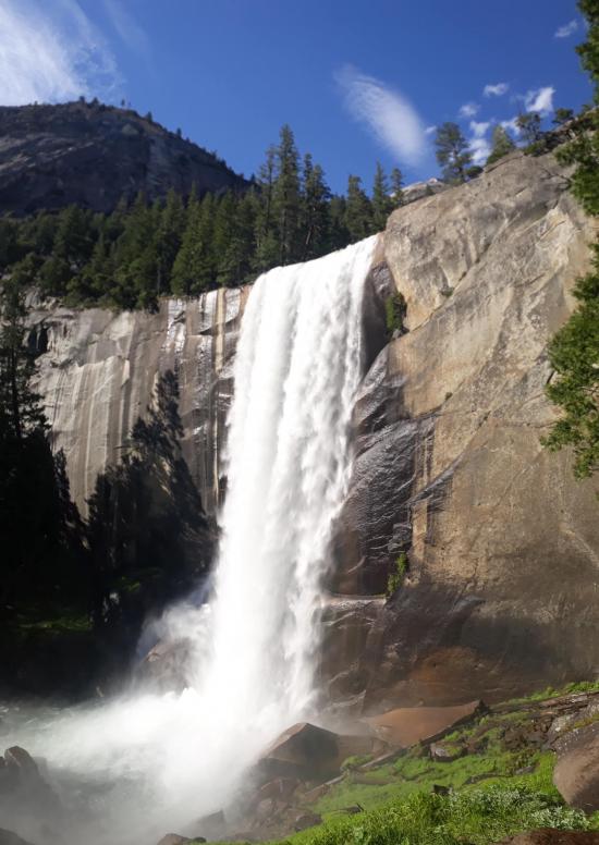
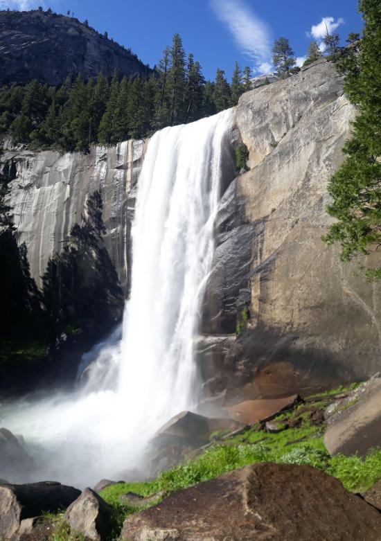
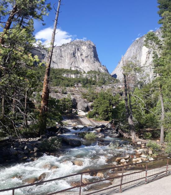
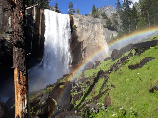
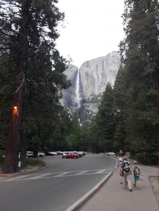
This very popular hike originates near Happy Isles in eastern Yosemite Valley (shuttle stop #16). This very popular hike originates near Happy Isles in eastern Yosemite Valley (shuttle stop #16). At the top of Vernal Fall, you can experience jaw-dropping views straight down the length of the 317-foot waterfall.
Trail Condition: Class 2 (Trail may have tree roots or rocks jutting out. Navigation skills may consist of following rock cairns and choosing turns at junctions. Elevation gains may be more substantial.)
Time: 2-4 hours
Length: 2.9 miles round trip
Elevation Gain: 1,340 ft
Fees: Park Admission
Recommended Ages:
 | 0-3 |
 | 4-11 |
 | 12-19 |
 | 20-49 |
 | 50-69 |
 | 70+ |
Recommended Months to Visit:
| Jan |
| Feb |
| Mar |
| Apr |
| May |
| Jun |
| Jul |
| Aug |
| Sep |
| Oct |
| Nov |
| Dec |
Links: https://www.nps.gov/yose/planyourvisit/vernalnevadatrail.htm
Navigate to 37.732861, -119.557795.
The trailhead for Vernall Fall Trail is at Happy Isles (shuttle stop #16).
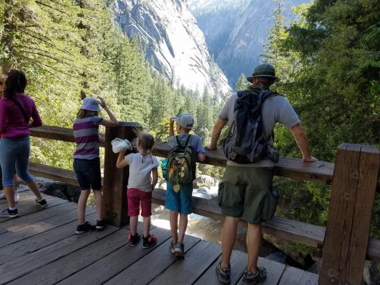
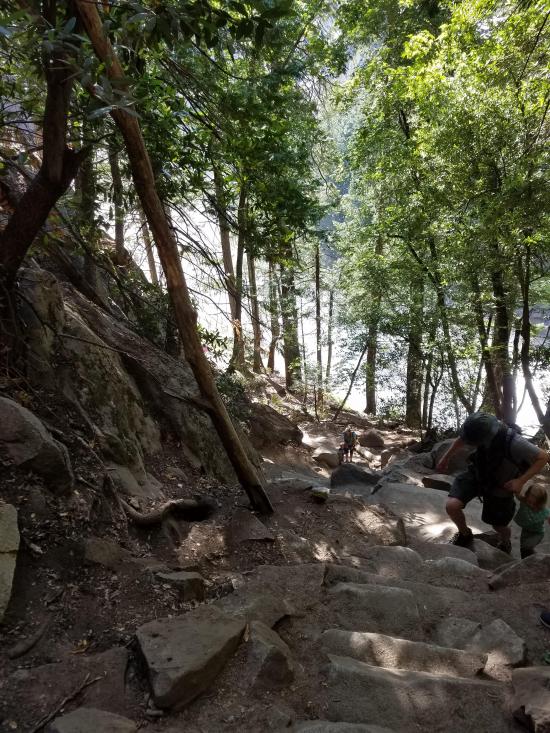
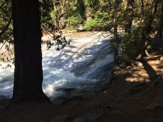
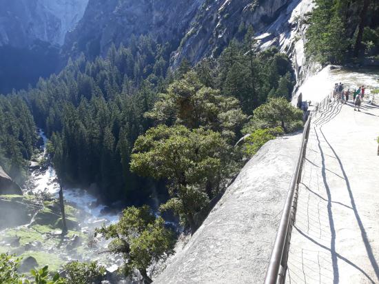
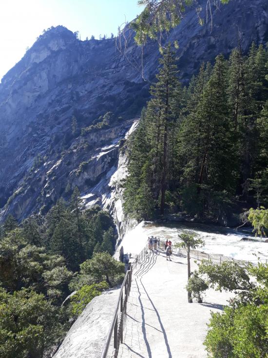
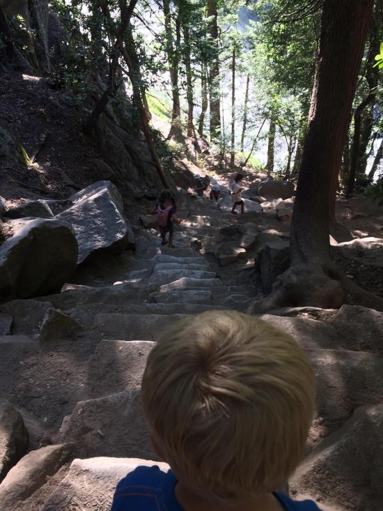
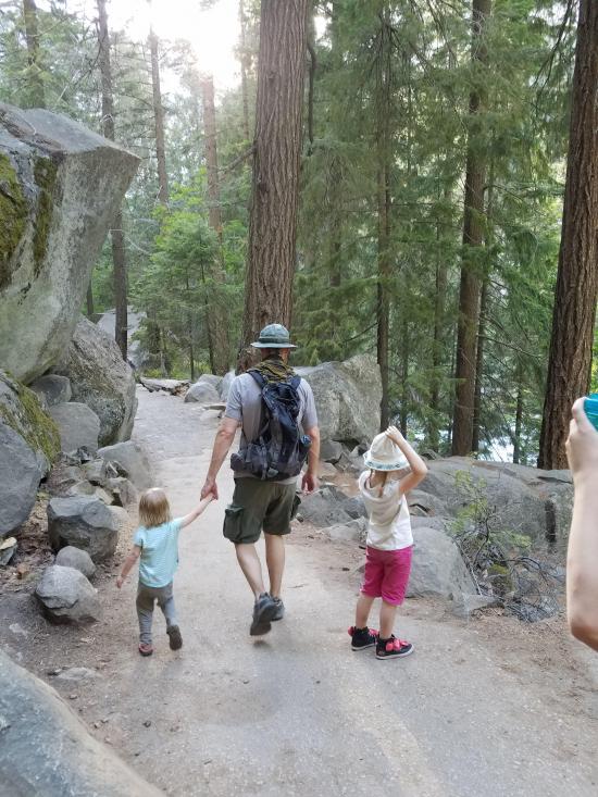
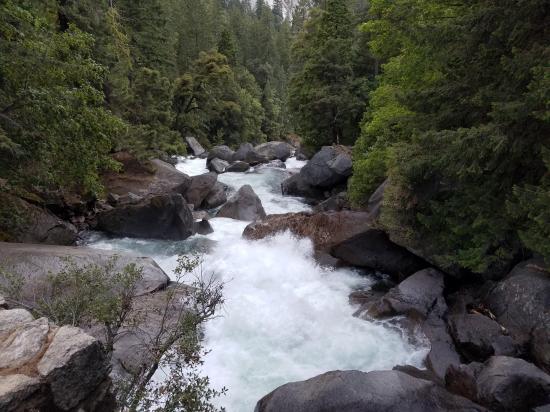
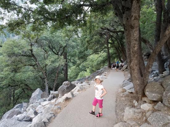
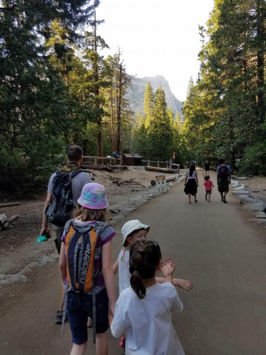
This first paved mile of trail is busiest and accesses the Vernal Fall Footbridge. Almost entirely uphill, you can appreciate views along the way, and during spring, when the water levels are at their peak, you can also glimpse Illillouette Fall from this first section of trail.
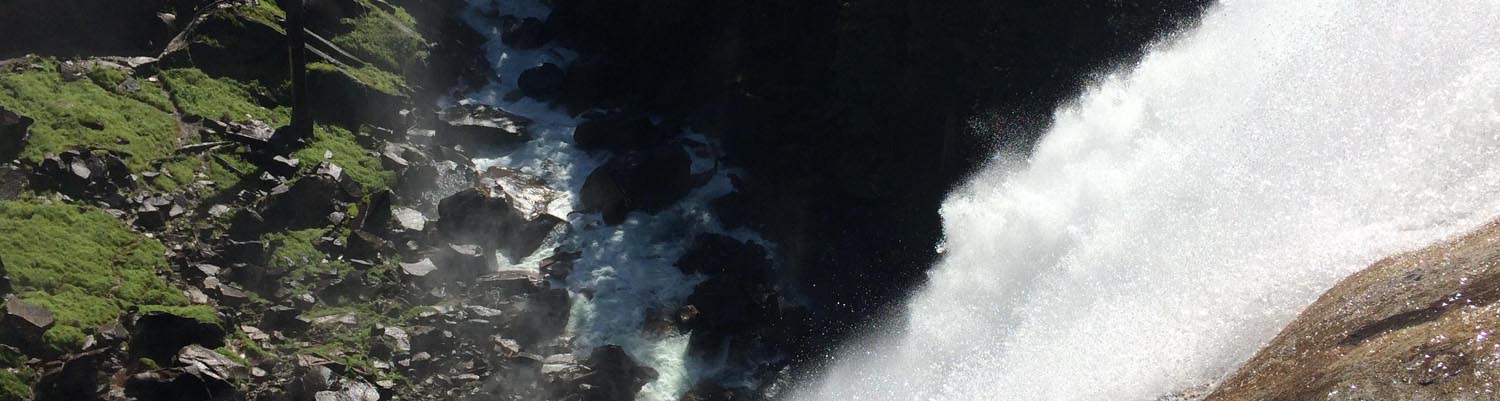
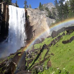
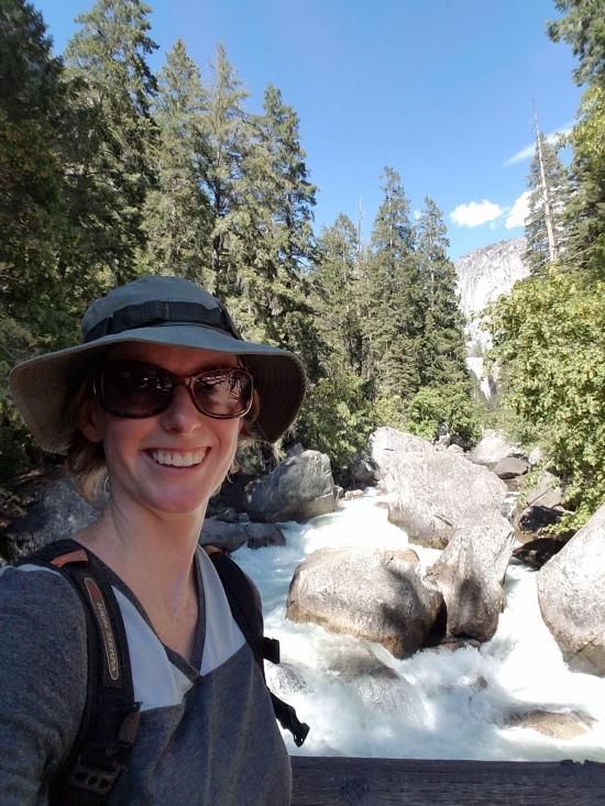
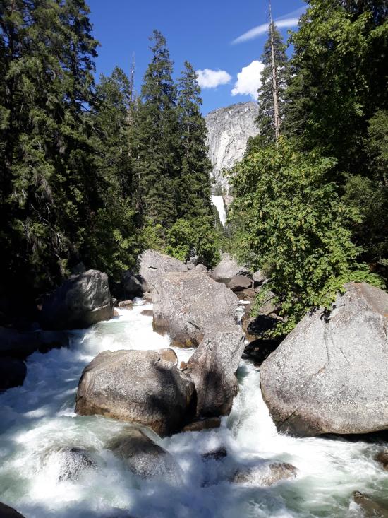
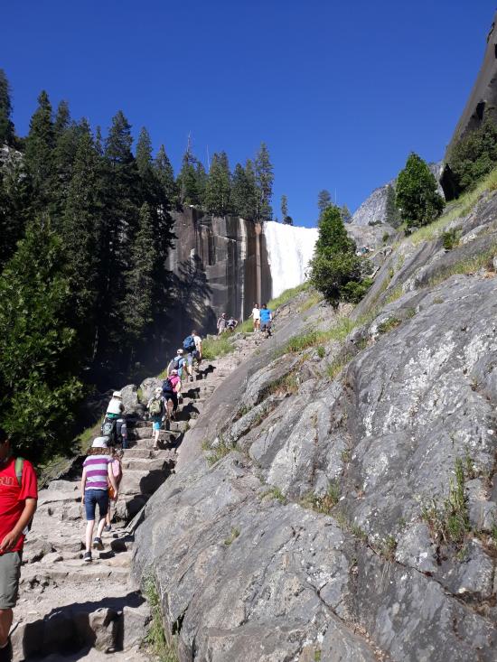
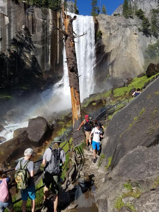
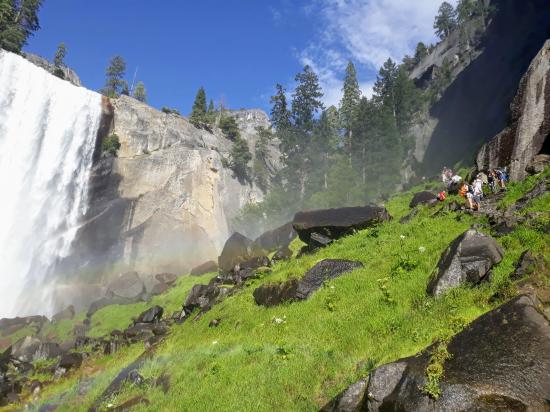
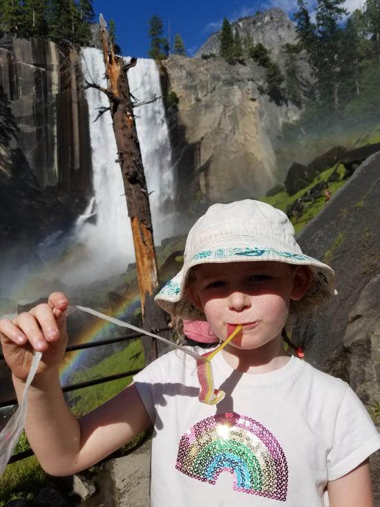
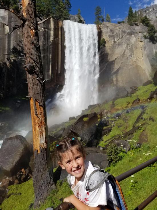
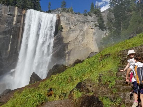
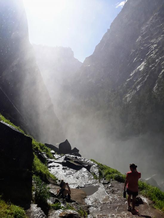
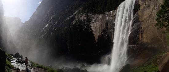
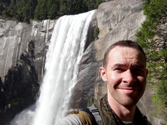
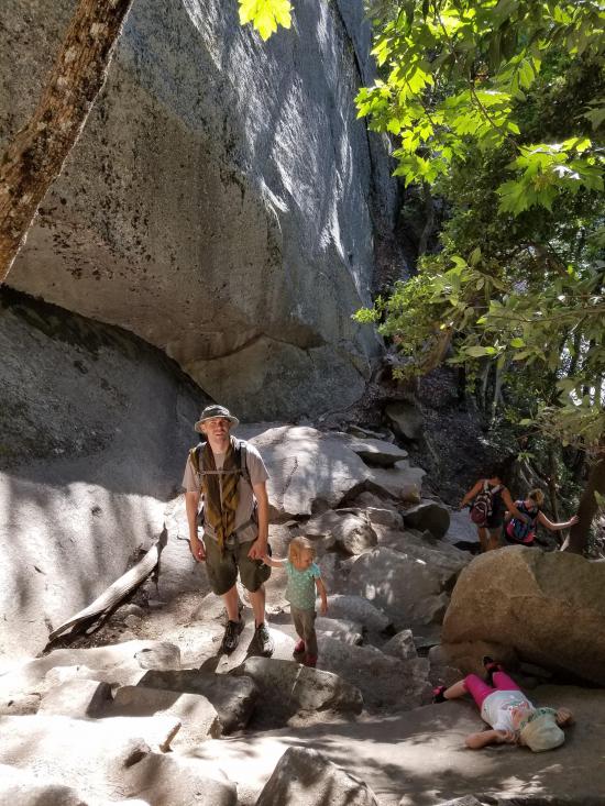
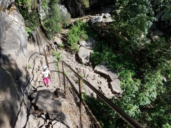
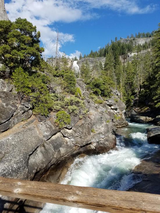
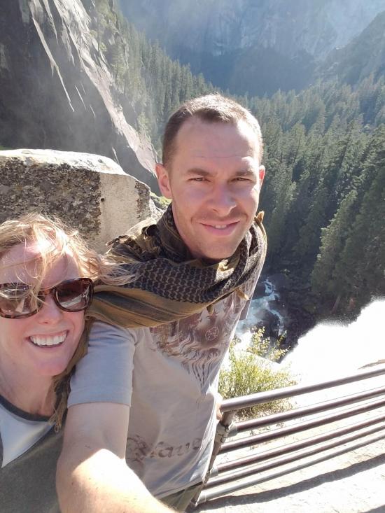
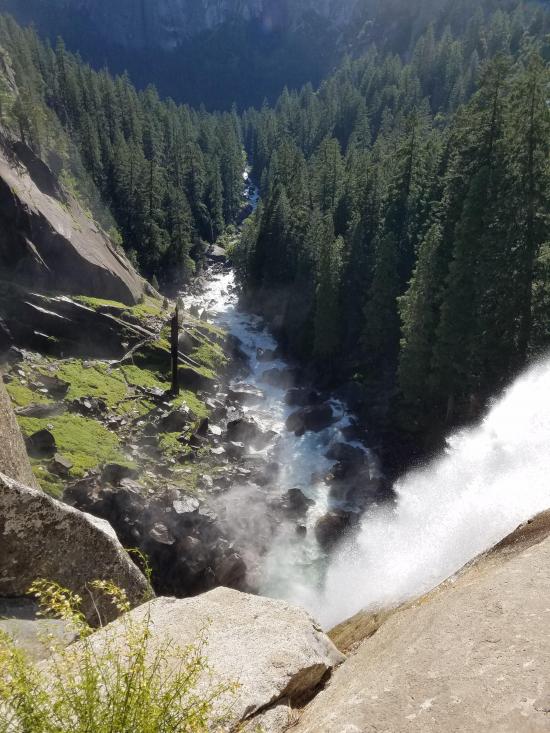
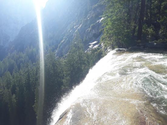
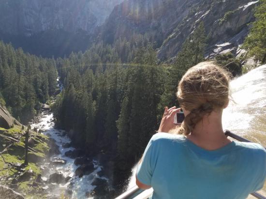
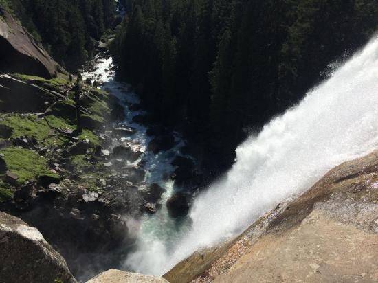
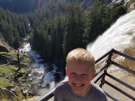
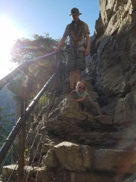
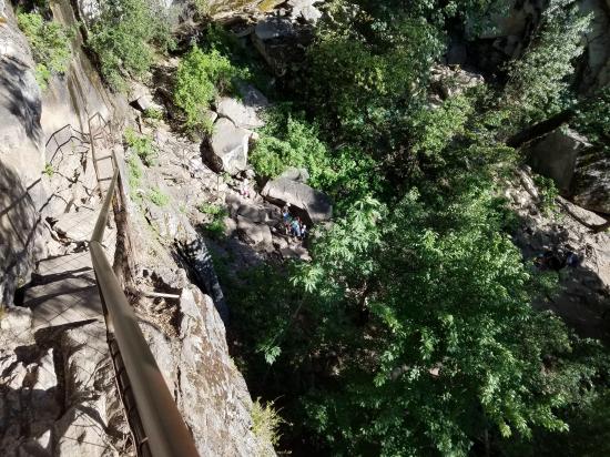
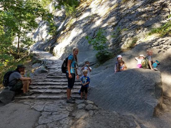
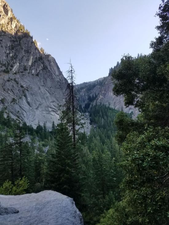
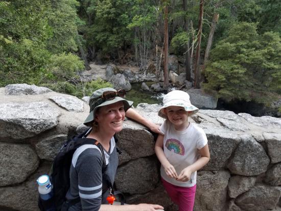
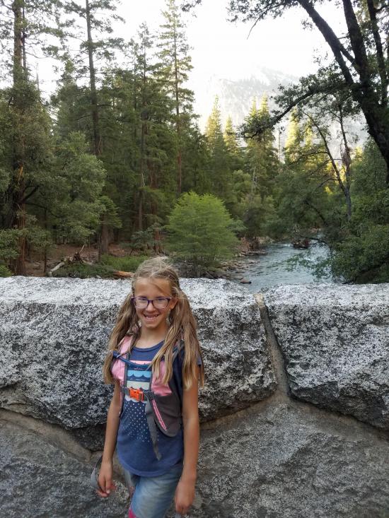
You'll find an excellent view of Vernal Fall from the footbridge at 0.8 miles. About 0.2 miles beyond the bridge, the Mist Trail and the John Muir Trail diverge. To proceed directly to the top of Vernal Fall, follow the Mist Trail 0.5 miles up a steep granite stairway of over 600 steps. Prepare for slippery footing and a tremendous amount of waterfall spray in spring and early summer (hence the name for this trail!). You will delight in views of Vernal Fall all along this stretch of trail and may even be able to see a rainbow in the spray of the fall. At the top of Vernal Fall, you can experience jaw-dropping views straight down the length of the 317-foot waterfall.
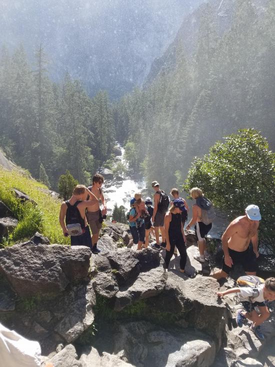
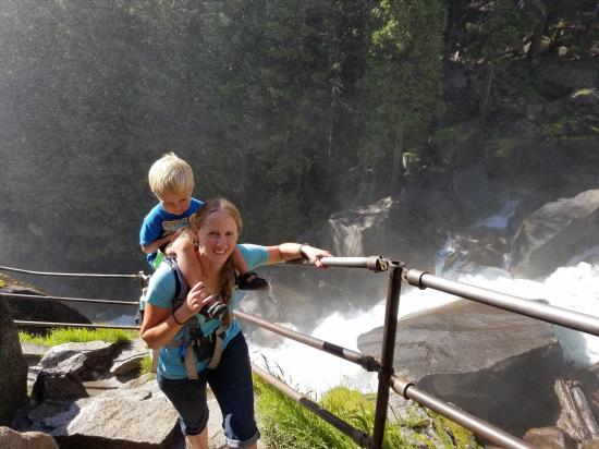
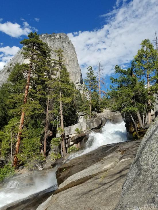
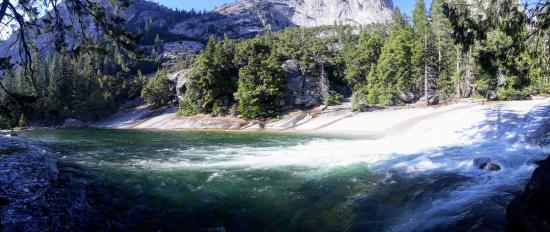
From this point, you can: choose to turn around and head back the way you came; continue up to the next junction and take the longer route back via the John Muir Trail; or continue uphill on the Mist Trail to the top of Nevada Fall. If you choose to continue on the Mist Trail, shortly beyond Vernal Fall, you will pass by Emerald Pool and Silver Apron. Both of these look may look inviting on a hot summer’s day, but it is illegal and dangerous to swim here due to the extremely hazardous current.
Closest City or Region: Yosemite National Park, California
Coordinates: 37.727392, -119.543845
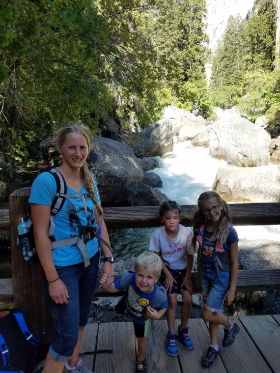
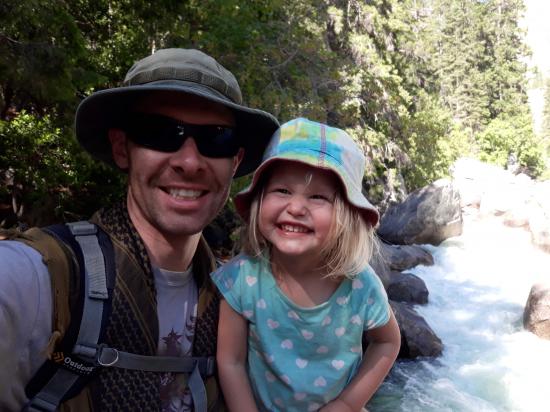
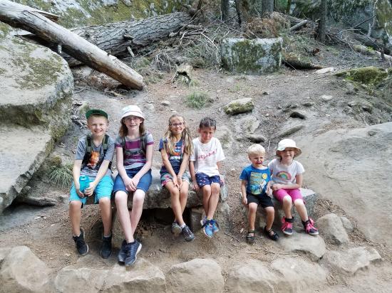
By Tara Dye
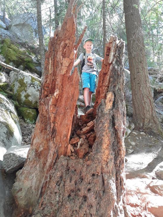
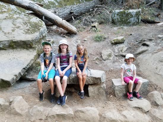
Tara Dye, Savannah Dye, Madilyn Dye, Cooper Dye, Shawn Parker, Marci Parker, Callie Parker, Wade Parker, Aria Parker, Lillian Parker,
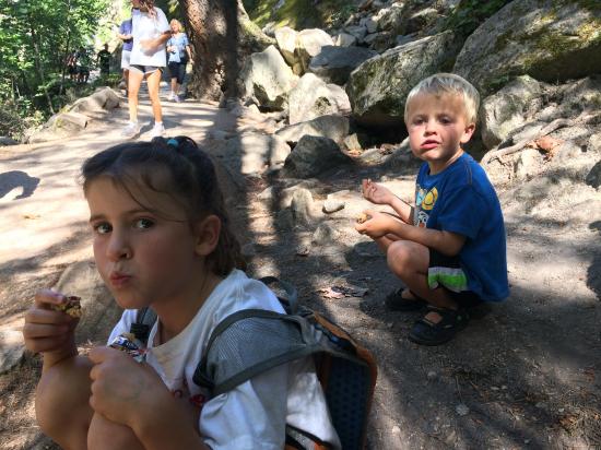
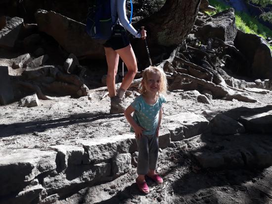
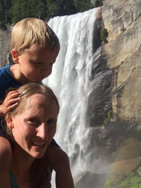
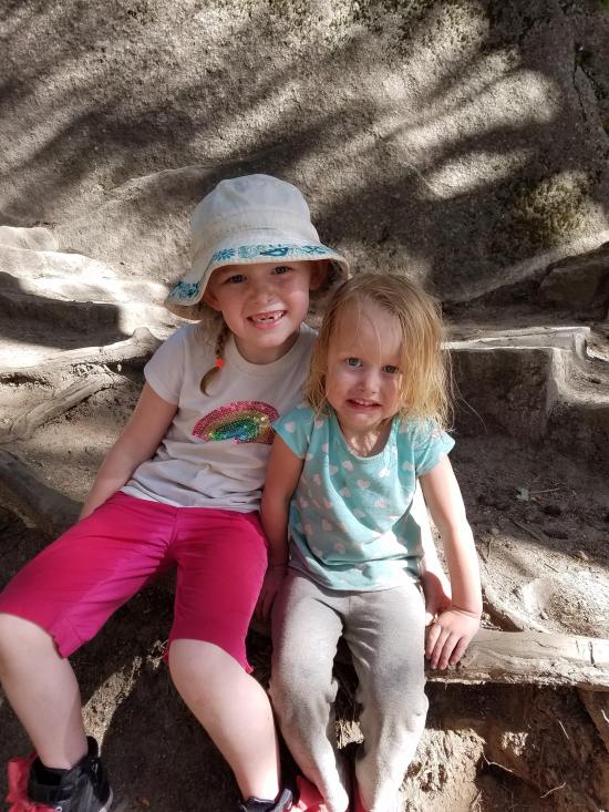
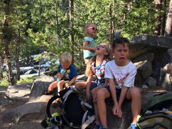
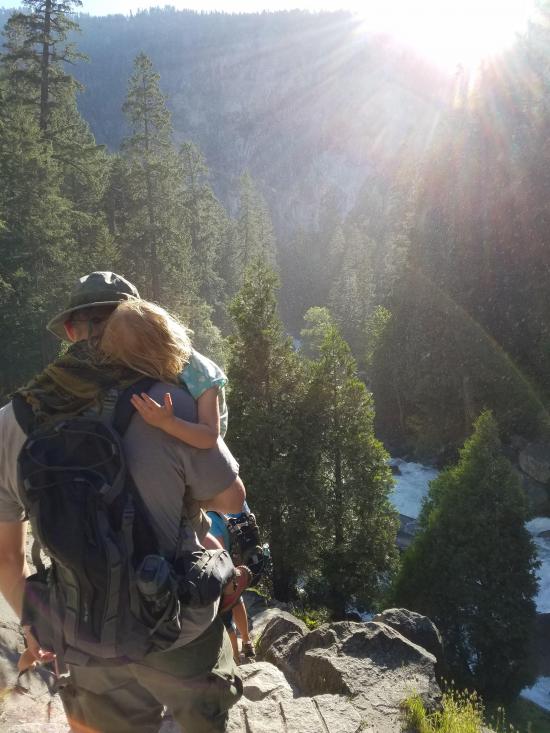
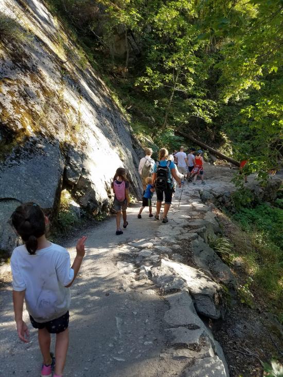
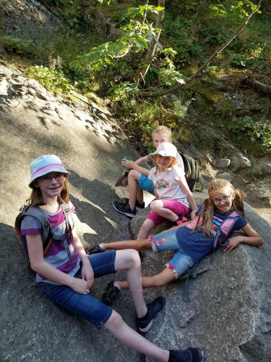
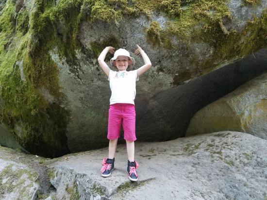
It was steep. Cooper rode on my shoulders all the way up the steep part. The weather was nice. It was very crowded. Savannah and Madi raced ahead until Madi got hungry. Then once she ate something, she ran back up to the kid group at the front.
_550w.jpg)


Soda Springs and Parsons Memorial Lodge
 Waterfalls
 Rivers and Streams
 Mountains
 No Drinking Water
 Marked Trails
 No Restrooms
 Viewpoint, Overlooks, Vistas
 Hiking Trails
 Wildflowers and Vegitation
 Wildlife and Birding