 Hiking | Jenny Lake Hike


Hype:
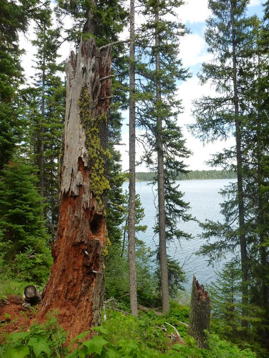
This trail starts at the Jenny Lake trailhead, follows the shoreline of Jenny Lake around to Hidden Falls and Inspiration Point, then continues around the lake to the String Lake Trailhead/Picnic Area.
Trail Condition: Class 2 (Trail may have tree roots or rocks jutting out. Navigation skills may consist of following rock cairns and choosing turns at junctions. Elevation gains may be more substantial.)
Time: 3-4 hours
Length: 5.5 miles one way
Elevation Gain: 410 ft
Fees: Entrance fee
Recommended Ages:
 | 0-3 |
 | 4-11 |
 | 12-19 |
 | 20-49 |
 | 50-69 |
 | 70+ |
Recommended Months to Visit:
| Jan |
| Feb |
| Mar |
| Apr |
| May |
| Jun |
| Jul |
| Aug |
| Sep |
| Oct |
| Nov |
| Dec |
Navigate to 43.751514, -110.725403.
Closest City or Region: Grand Teton National Park, Wyoming
Coordinates: 43.751514, -110.725403
By Jeremy Dye
Jeremy Dye, Tara Dye, Anthony Dye, Arianne Dye, Ondylyn Wagner, Jaren Wagner, Extended Burnett Family,
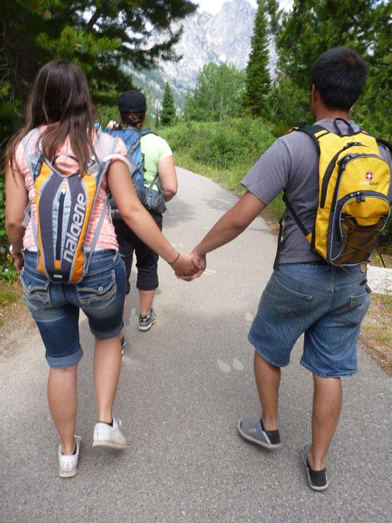
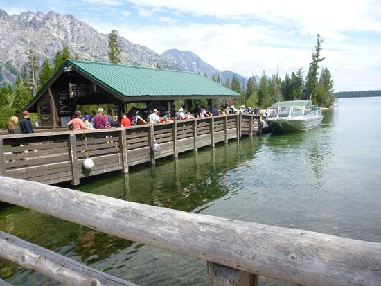
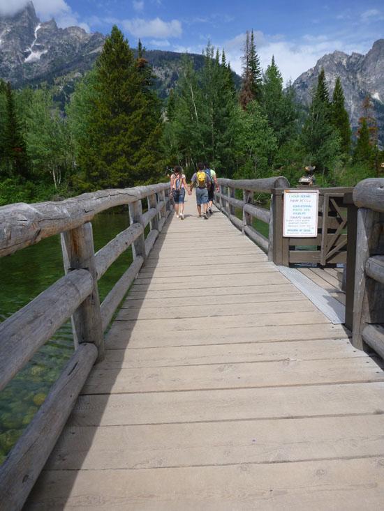
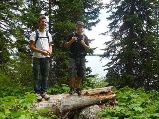
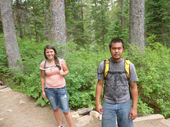
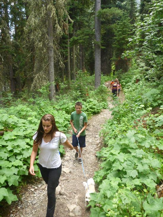
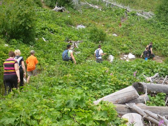
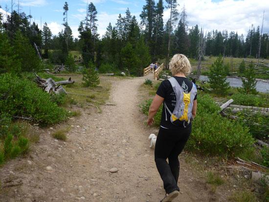
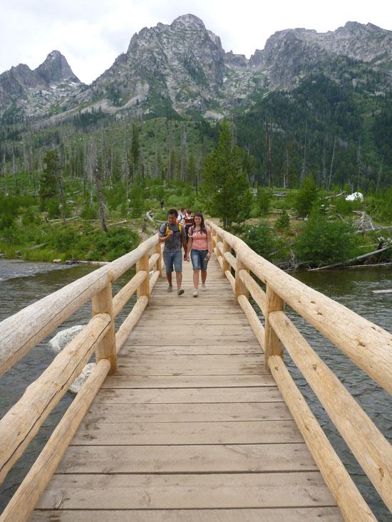
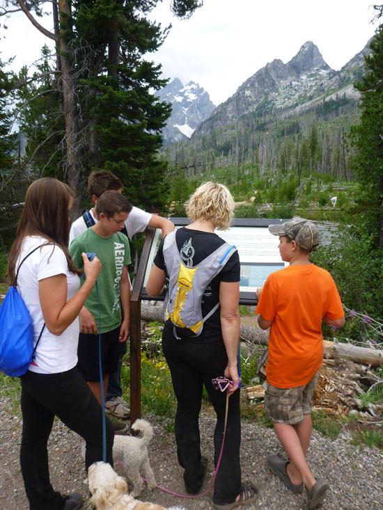
As one of our activities at the 2012 Burnett family reunion, we hiked to Hidden Falls and Inspiration Point. Most of the people took the shuttle across Jenny Lake, but several of us chose to walk around the lake instead.
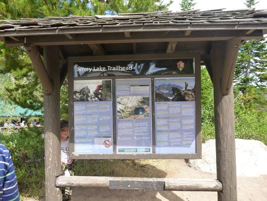
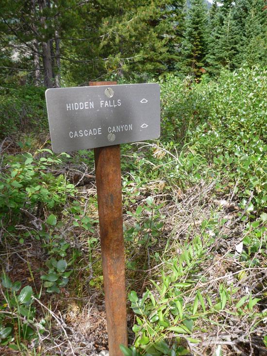
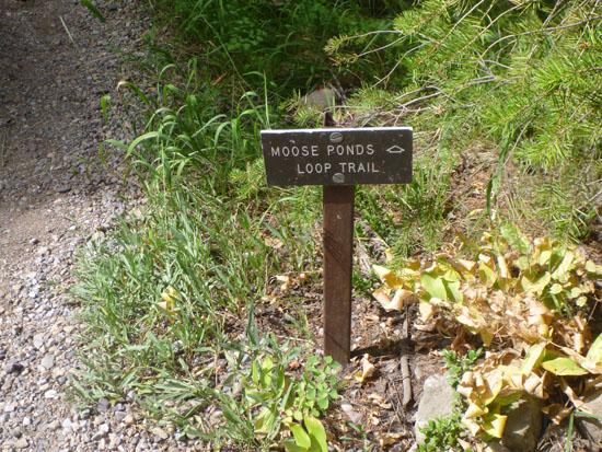
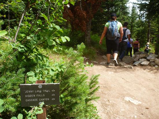
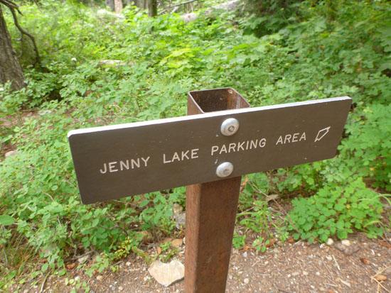
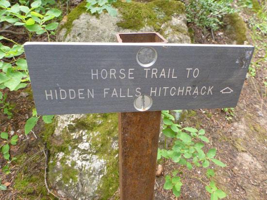
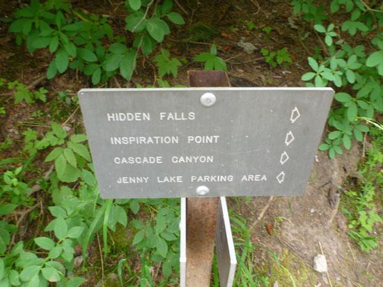
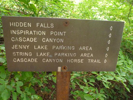
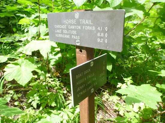
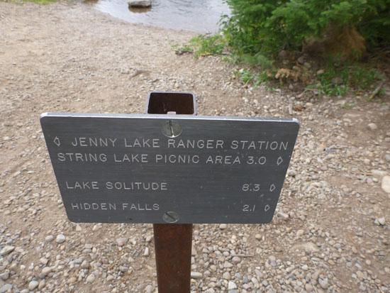
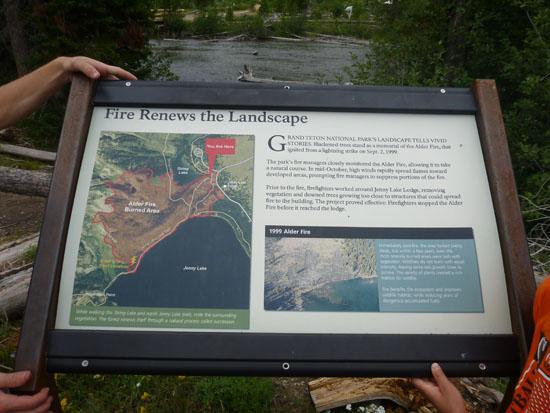
We started at the Jenny Lake Trailhead, which is where people get on the boats. The signs point to Hidden Falls and Cascade Canyon. At 43°44'54.39"N, 110°44'20.75"W, the trail to Moose Ponds forks to the left.
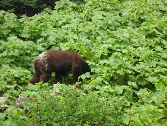
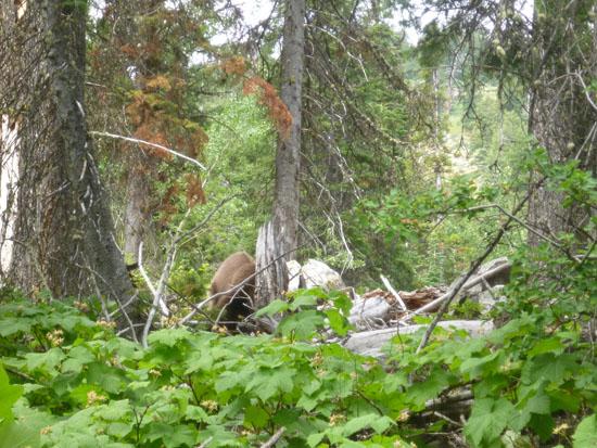
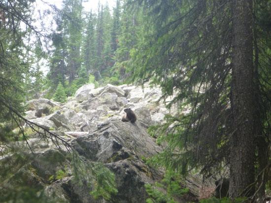
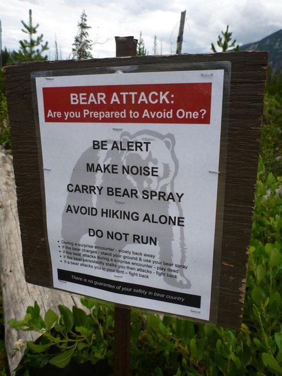
While we were walking, a man coming the other direction told us that there was a bear ahead. It turns out Arianne is terrified of bears. So we spent the next 15 minutes or so walking in paranoia. After we had almost given up hope of seeing the bear, Ondy and Jaren practically stepped on it. The bear stepped out of the bushes onto the trail less than 4 feet in front of them. The bear paid them no heed and just kept going. Leslie, Brianne, Amy, Arianne, and I were at the back of the group and couldn't see the bear.
The following is some of the dialog from the video:
Anthony: "Look, it's a bear. It's little."
Arianne: "It's a baby? That mean's there's a mother. I don't see it."
Amy: "Are they pulling our legs?"
Anthony: "Come on Ari, come on."
At this point, they're running down the trail after the bear.
Arianne: "Anthony, I don't see it."
Amy: "They claim they see it, but I don't see it and no one else does, so I wonder if they're pulling our legs."
Arianne: "Anthony..."
Then the bear slowed down, and we caught up to it.
The closest I got to the bear was about 10 ft. He was scratching the bark off of fallen trees and eating bugs.
When we got bored with the bear, we started hiking again. Apparently the bear liked where we were going because it walked alongside us for several minutes.
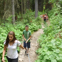
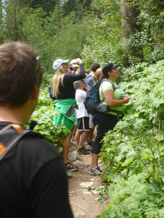
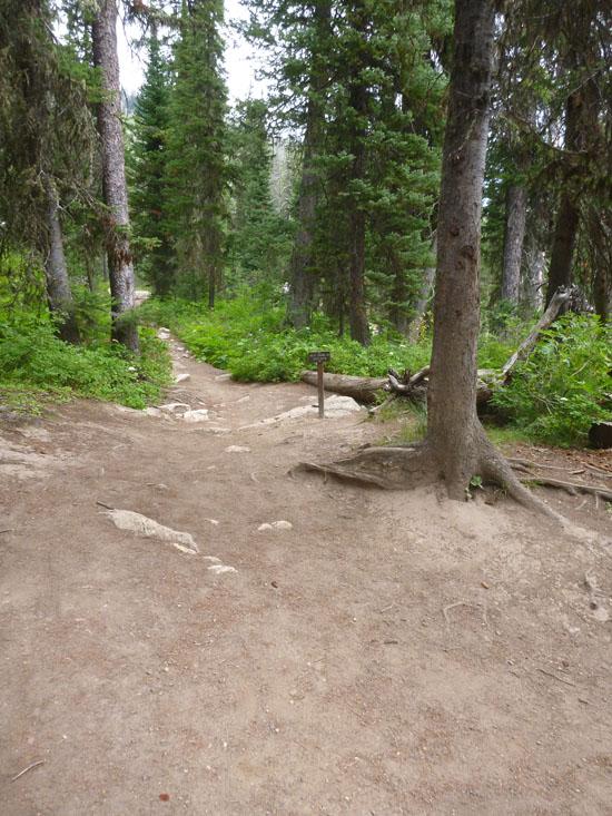
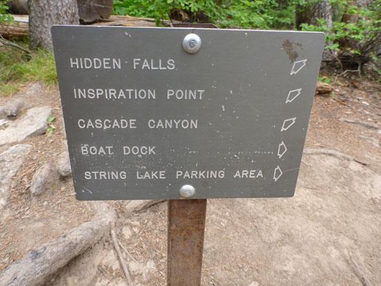
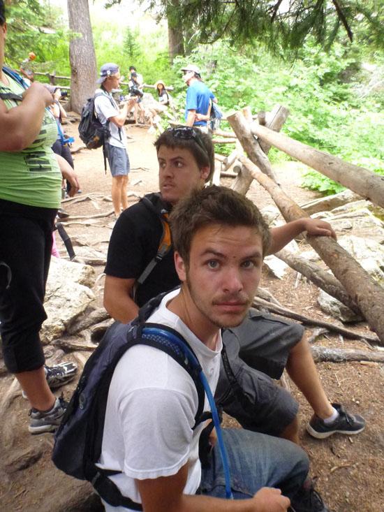
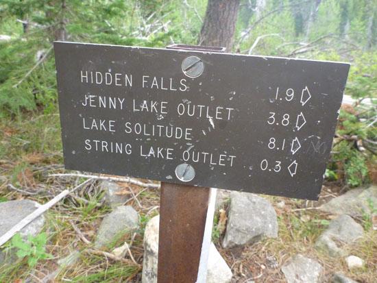
After about an hour of hiking, we got to the maze of trails near Hidden Falls. It's pretty hard to get lost though because all you have to do is follow the signs to Hidden Falls. It took us 1 hour and 15 minutes to get to Hidden Falls, which is pretty average. We waited at the falls for about 15 minutes, but we didn't meet up with any of the other groups, so we moved on.
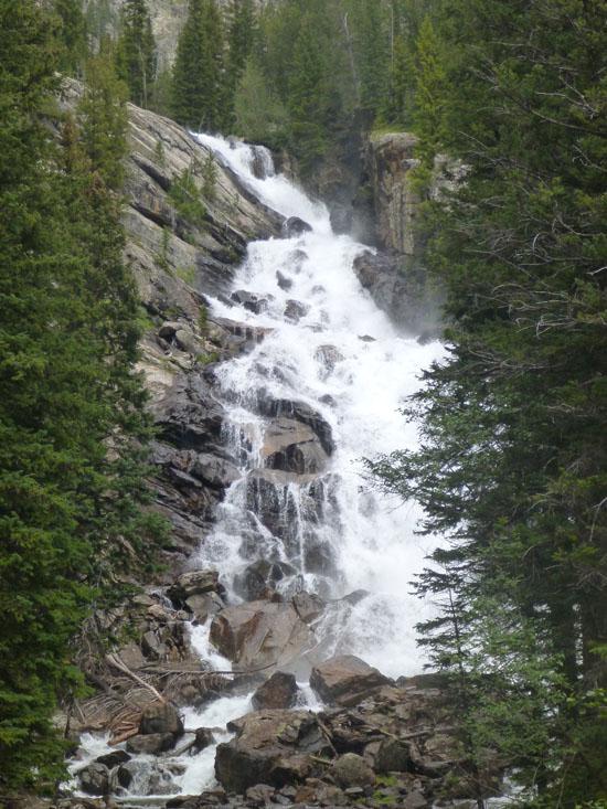
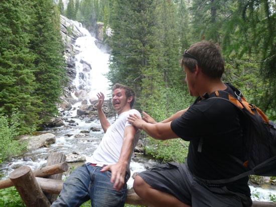
Hidden Falls is a 100-foot-tall cascade on Cascade Creek.
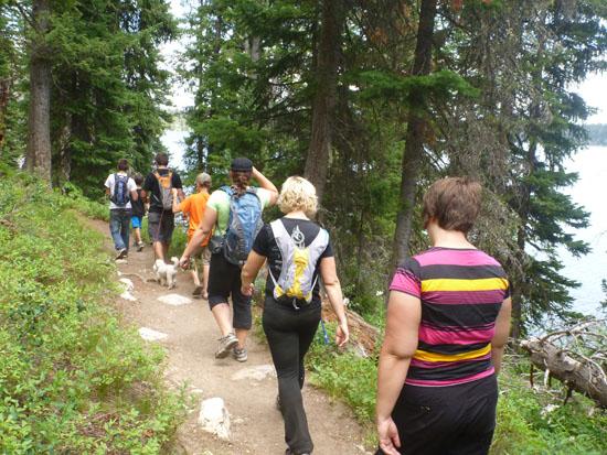
I don't have any pictures of Inpiration Point, but there are several on my other page. When we were almost to Inspiration Point, we saw some of our other groups at the bottom of the cliff. We waited for them to catch up and enjoyed the view for a bit before moving on.
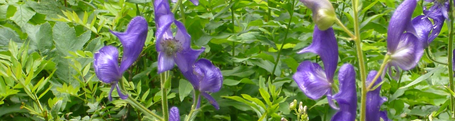
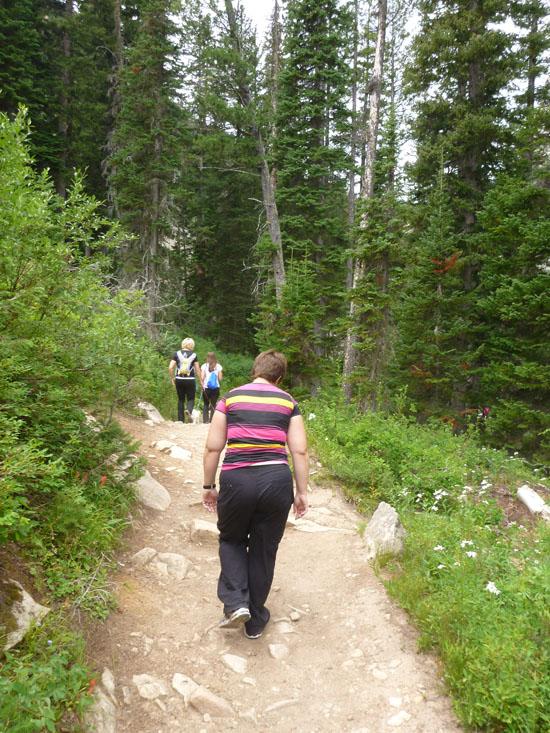
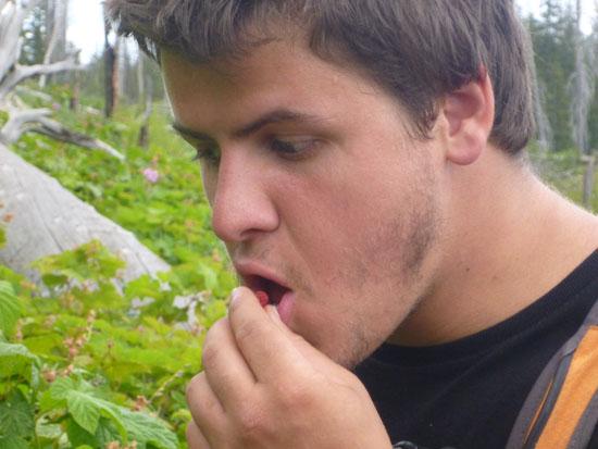
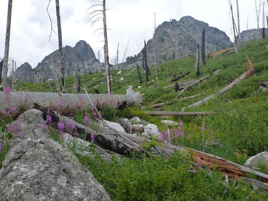
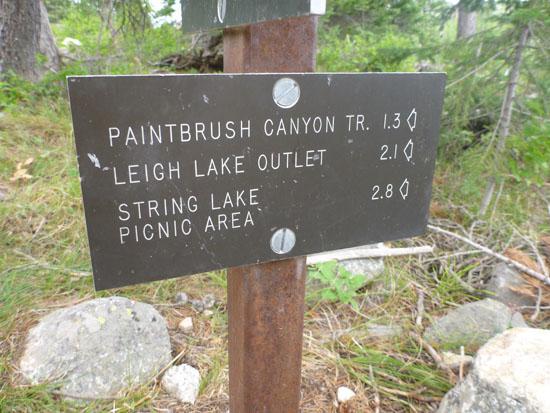
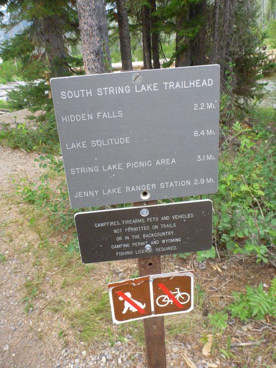
Instead of going back the way we came, we chose to follow the trail around Jenny Lake to the String Lake picnic area, where everyone was going to meet up for lunch. It ended up being a little bit shorter, and there would be plenty of cars for us to shuttle. This portion of the trail was even more amazing than the first part. It was really green and lush with lots of wildflowers.
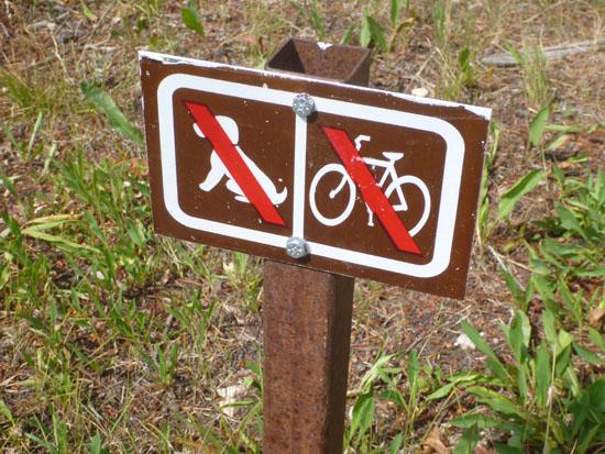
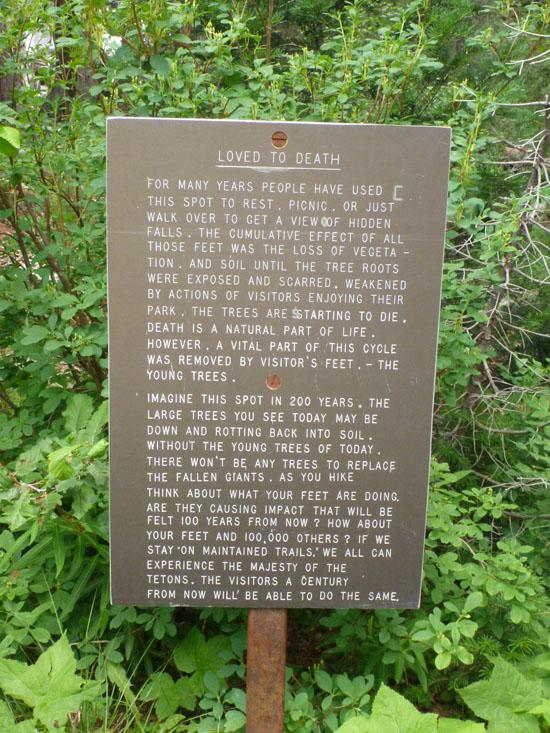
After our encounter with the bear, we wondered what we should have done differently. Turns out there were lots of signs telling us what to do. If we had only stopped to read them...
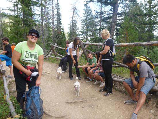
We ended at the South String Lake Trailhead. At this point everything got really confusing. We had some pretty good mixups of where people though they were and where people thought everyone else was, etc. Our group was the first to get to the picnic area, which confused us because we figured the people taking the ferry would beat us there. I ran ahead of my group to scout the picnic area and save everyone unnecessary walking. But I didn't tell them where I was going, and they hadn't studied the map, so they just stayed put. They thought I had taken the 3.1 mile trail to the picnic area. When I went back to find them, I didn't backtrack far enough, so I ended up getting separated from everyone for most of an hour. We finally all met up around 3:00 for lunch.
 Waterfalls
 Hiking Trails
 Lakes and Reservoirs
 Wildflowers and Vegitation
 Wildlife and Birding
 No Drinking Water
 Marked Trails
 No Restrooms
 Road Access is Paved
 Access Road is 2WD Accessible