 Hiking | Cub River Hike


Hype:
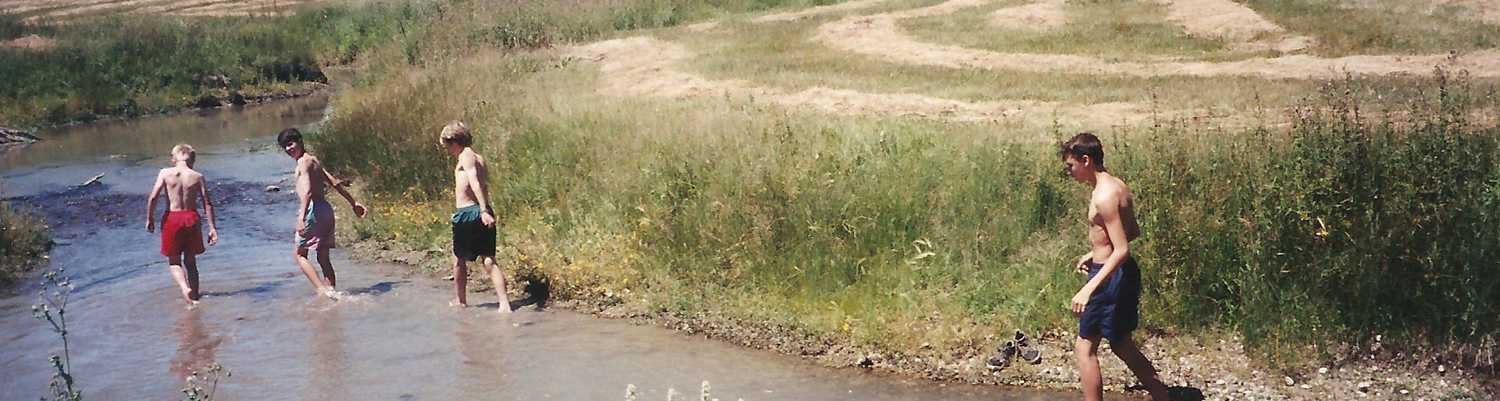
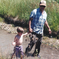
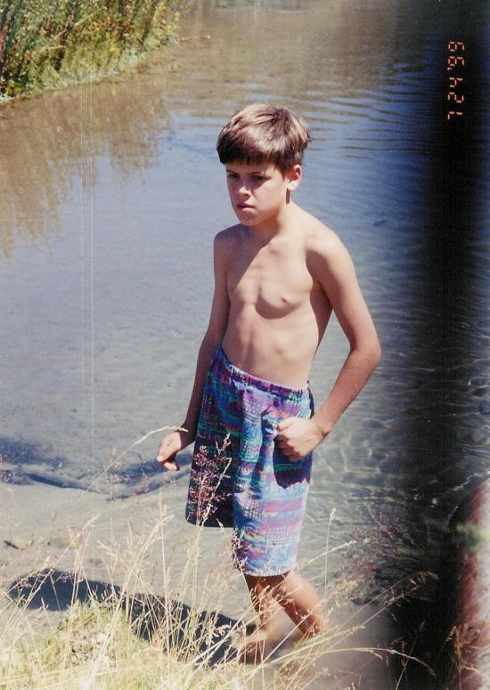
This isn't really an established hike, but we went once with Grandpa Burnett. We hiked down the river and got ice cream.
Trail Condition: Class 2 (Trail may have tree roots or rocks jutting out. Navigation skills may consist of following rock cairns and choosing turns at junctions. Elevation gains may be more substantial.)
Time: 2 hours
Length: 1.25 miles one way
Elevation Gain: Negligible
Fees: None
Recommended Ages:
 | 0-3 |
 | 4-11 |
 | 12-19 |
 | 20-49 |
 | 50-69 |
 | 70+ |
Recommended Months to Visit:
| Jan |
| Feb |
| Mar |
| Apr |
| May |
| Jun |
| Jul |
| Aug |
| Sep |
| Oct |
| Nov |
| Dec |
Navigate to 41.961500, -111.831726.
By Jeremy Dye
Lemuel Burnett, Connie Burnett, Melanie Burnett, Laura Dye, Jeremy Dye, Anthony Dye, Ondylyn Wagner, Zac Dye, Lisa Pierson, Jared Pierson, Cory Pierson, Blaine Adams,
On one of our trips to Grandpa's farm, we hiked down the river to Casper's and got ice cream.
_550w.jpg)
_550w.jpg)
_550w.jpg)
 Rivers and Streams
 Hiking Trails
 Swimming
 Wildflowers and Vegitation
 Wildlife and Birding