Hiking | Lone Warrior Pictograph


Hype:
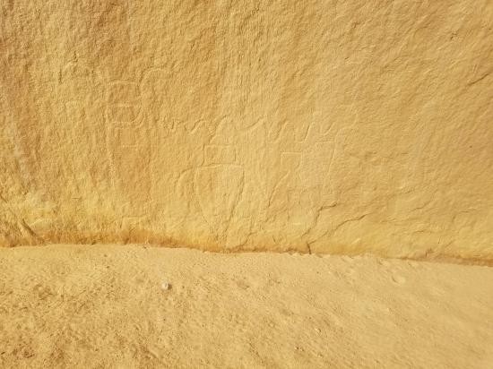
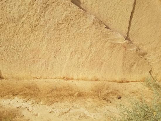
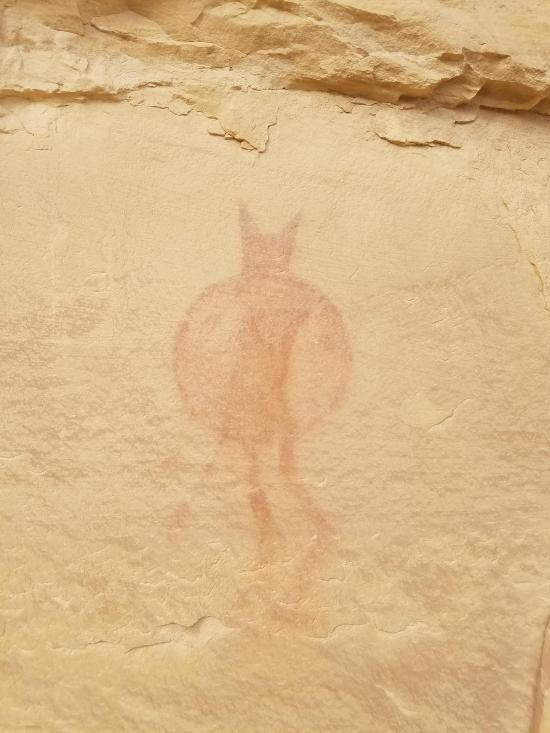
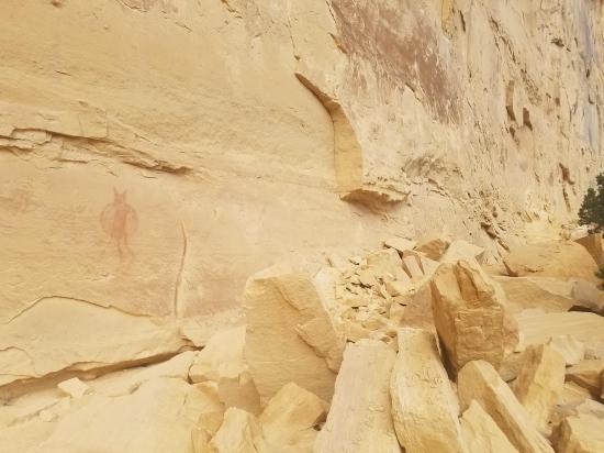
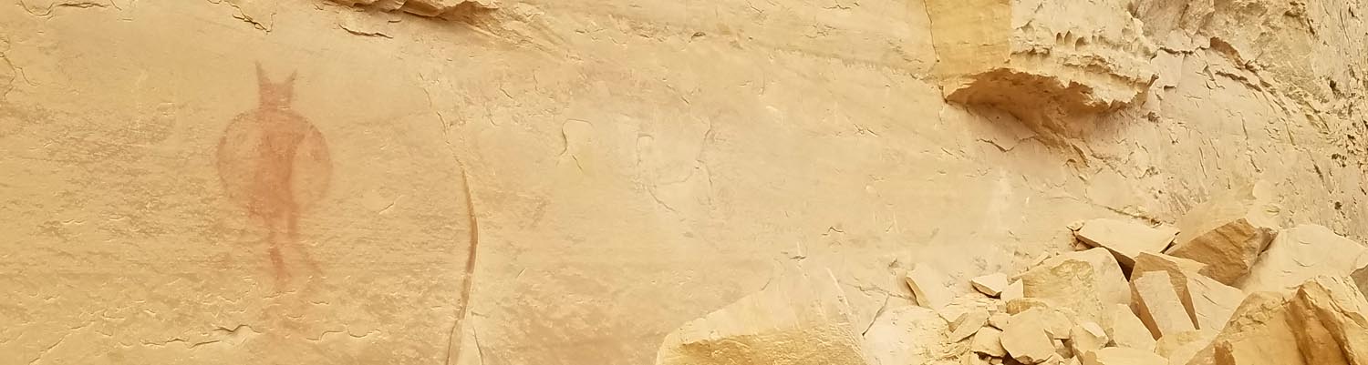
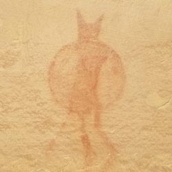
The lone warrior pictograph panel consists of a single image of a person holding a shield. This is a Barrier-style pictograph.
Trail Condition: Class 1 (Trail is either paved or gravel. Navigation skills are not needed because there is only one trail or because there are signs. Elevation gains are gradual or there are stairs.)
Time: 30 minutes
Length: 0.2 miles round trip
Elevation Gain: Negligible
Fees: None
Recommended Ages:
 | 0-3 |
 | 4-11 |
 | 12-19 |
 | 20-49 |
 | 50-69 |
 | 70+ |
Recommended Months to Visit:
| Jan |
| Feb |
| Mar |
| Apr |
| May |
| Jun |
| Jul |
| Aug |
| Sep |
| Oct |
| Nov |
| Dec |
Navigate to 38.852800, -110.802725.
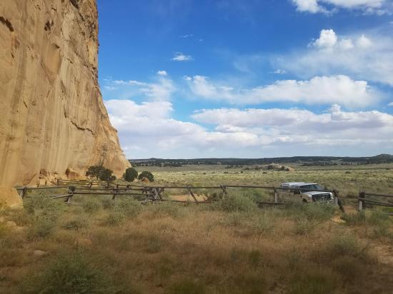
Even though it looks close to I-70, it's actually an 11-mile drive on dirt roads to reach the Lone Warrior Pictograph. From I-70, take exit 131 for Sinbad Road and head south. I'm not going to detail out the turn-by turn navigation on how to get there, but I've shown the approach drive on the map below.
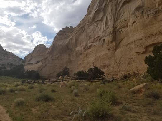
From the parking area, there are two short trails. If you walk northeast for about 50 feet, you'll see several faint petroglyphs along the base of the cliff. If you head northwest for about 0.1 miles, you'll reach the Lone Warrior Pictograph.
Closest City or Region: San Rafael Swell, Utah
Coordinates: 38.853369, -110.803740
 Petroglyphs and Pictographs
 Marked Trails
 Hiking Trails
 No Drinking Water
 No Fires
 No Restrooms
 Road Access is Dirt - Low Clearance
 Access Road is 4WD