 Hiking | Marysvale M


Hype:
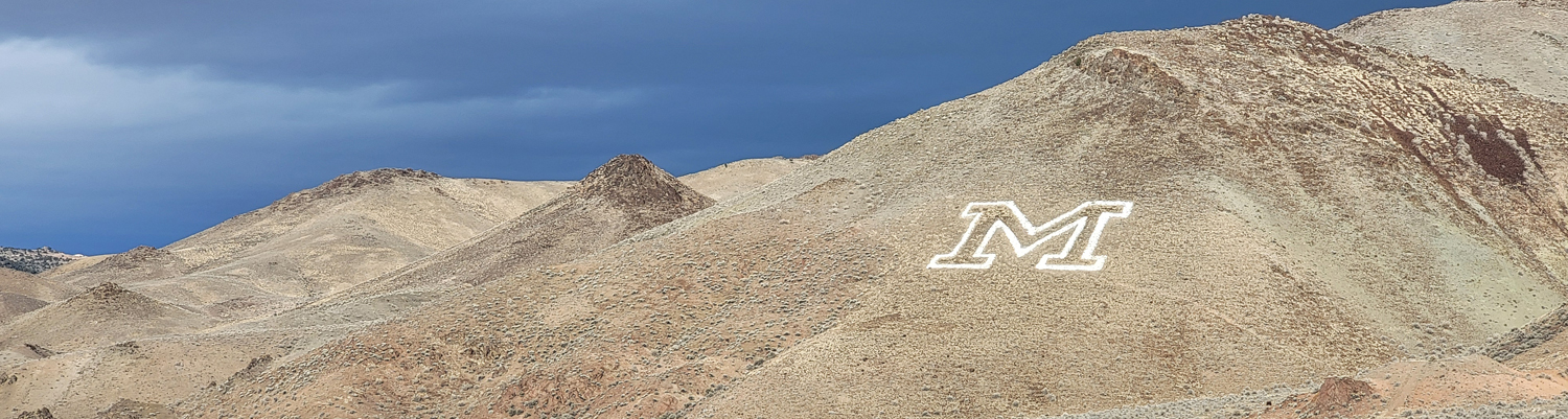
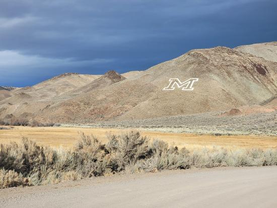
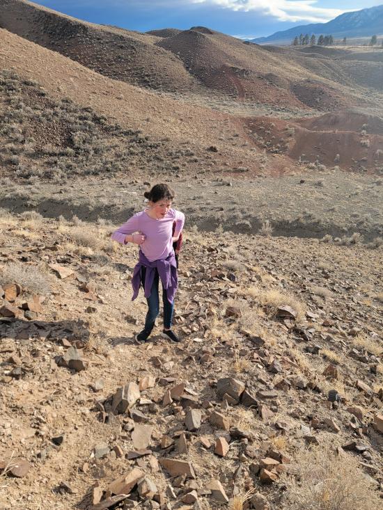
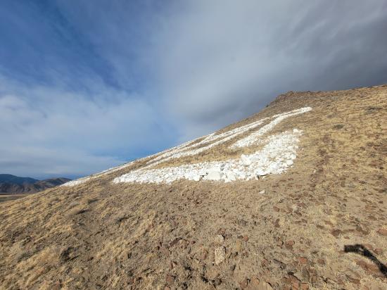
The "M" Trail in Marysvale, Utah, offers a short and rewarding hike to a large white "M" emblazoned on the mountainside. This approximately 0.5-mile round-trip trail ascends a steep slope, providing hikers with panoramic views of Marysvale and the surrounding Sevier Valley. The trailhead is from the shoulder of a dirt road. While the hike is brief, the incline can be challenging, so it's advisable to wear sturdy footwear and bring water. Reaching the "M" offers not only a sense of accomplishment but also a picturesque spot for photography and reflection. This hike is a favorite among locals and visitors alike, especially during sunrise or sunset when the valley is bathed in golden light.
Trail Condition: Class 2 (Trail may have tree roots or rocks jutting out. Navigation skills may consist of following rock cairns and choosing turns at junctions. Elevation gains may be more substantial.)
Time: 30 minutes
Length: 0.5 miles round trip
Elevation Gain: 170 ft
Fees: None
Recommended Ages:
 | 0-3 |
 | 4-11 |
 | 12-19 |
 | 20-49 |
 | 50-69 |
 | 70+ |
Recommended Months to Visit:
| Jan |
| Feb |
| Mar |
| Apr |
| May |
| Jun |
| Jul |
| Aug |
| Sep |
| Oct |
| Nov |
| Dec |
From the trailhead, follow the well-traveled trail northeast for 0.25 miles to the M. Return the way you came.
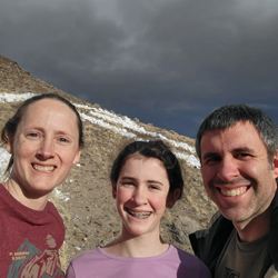
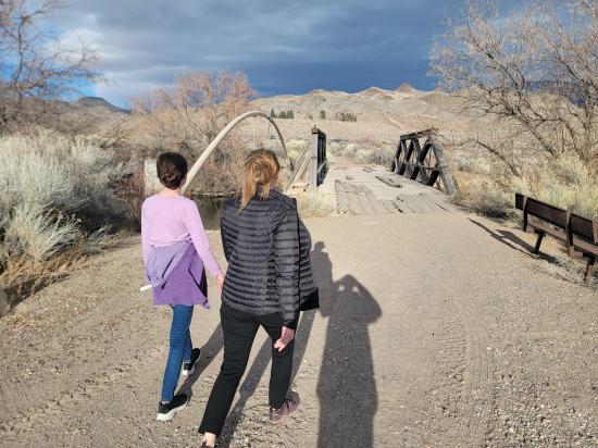
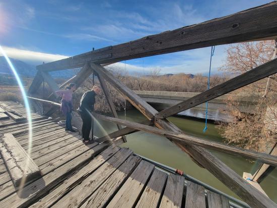
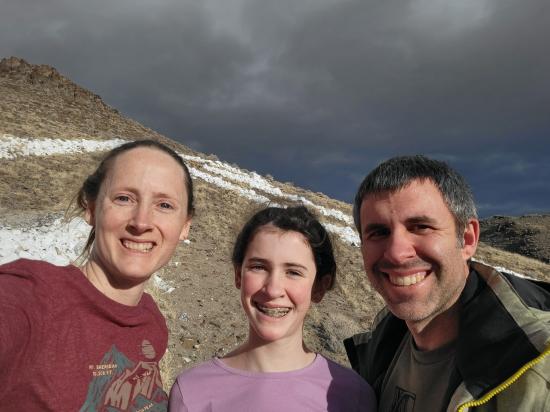
By Tara Dye
Jeremy Dye, Tara Dye, Madilyn Dye,
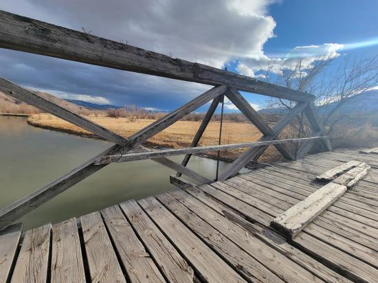
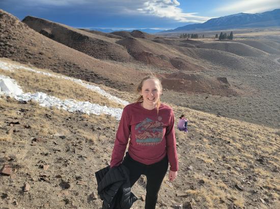
In the evening, Tara, Madi, and I went on a walk through town. We ended up heading east and discovered a fun old bridge and hiked up to the M on the mountain.
 Hiking Trails
 Marked Trails
 No Drinking Water
 Mountains
 No Restrooms
 Road Access is Dirt - Low Clearance
 Access Road is 2WD Accessible
 Viewpoint, Overlooks, Vistas
 Wildlife and Birding
 Wildflowers and Vegitation
 Pets Allowed