 Hiking | Murdock Canal Trail


Hype:
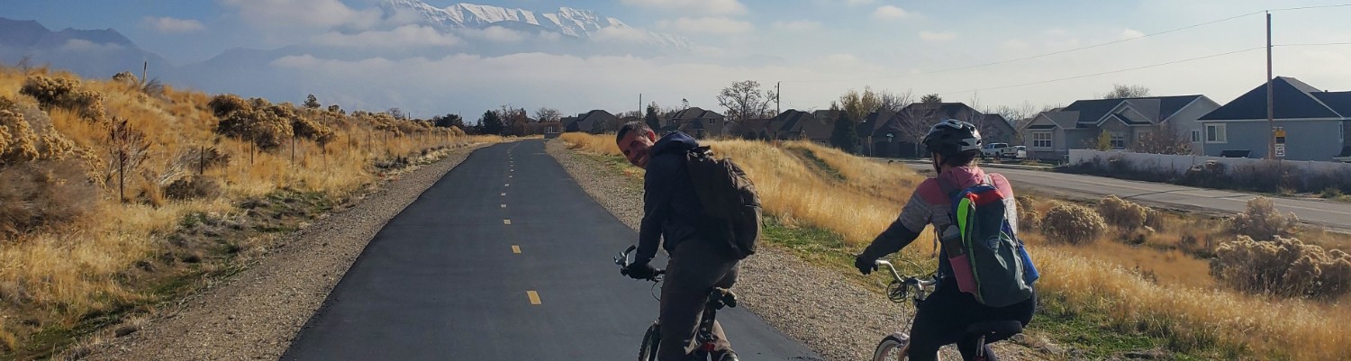
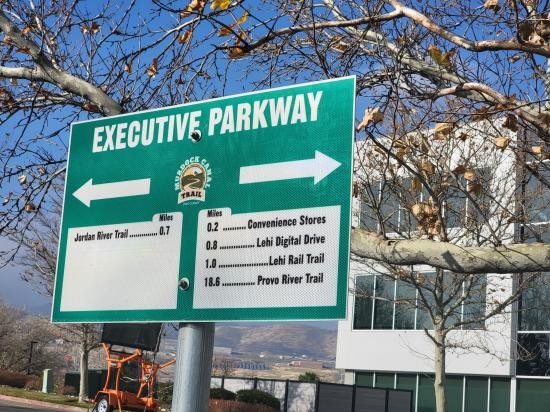
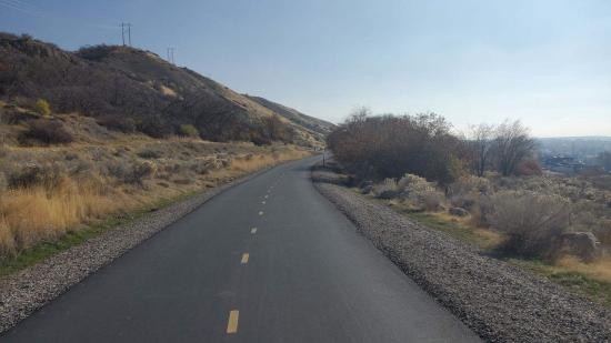
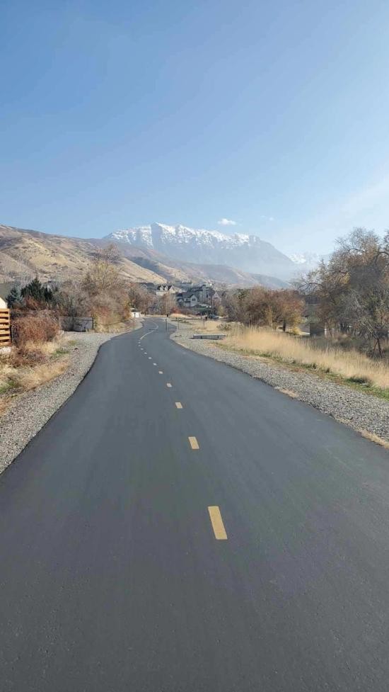
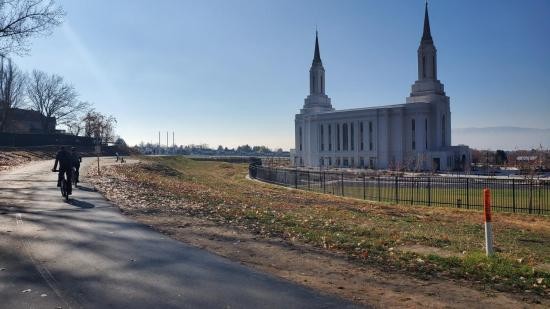
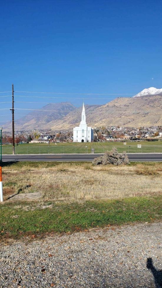
The Murdock Canal Trail runs through Utah Valley and links multiple communities including Orem, Lindon, Pleasant Grove, Cedar Hills, Highland, American Fork, and Lehi. It is designed for a wide range of users, with a smooth paved surface that makes it accessible to cyclists, runners, families, and casual walkers.
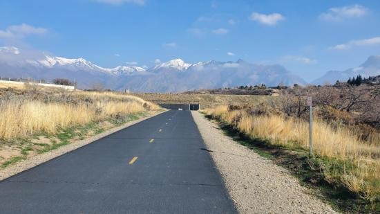
The trail offers views of nearby mountains, suburban landscapes, and open spaces, making it both a practical transportation route and a recreational escape. Its gentle grade and clearly marked distances make it suitable for users of varying fitness levels, whether they are completing short segments or traveling longer distances.
Because the trail spans many cities, it connects to parks, neighborhoods, and other trail systems, allowing for flexible entry points and varied experiences. Seasonal changes affect scenery and comfort, but the trail remains a popular outdoor destination throughout much of the year.
Trail Condition: Class 0 (Trail is paved. No elevation gain.)
Time: 1+ hours
Length: 18.6 miles
Elevation Gain: 965/-607
Fees: None
Recommended Ages:
 | 0-3 |
 | 4-11 |
 | 12-19 |
 | 20-49 |
 | 50-69 |
 | 70+ |
Recommended Months to Visit:
| Jan |
| Feb |
| Mar |
| Apr |
| May |
| Jun |
| Jul |
| Aug |
| Sep |
| Oct |
| Nov |
| Dec |
Closest City or Region: Provo to Lehi, Utah
Coordinates: 40.312112, -111.669705
By Jeremy Dye
Jeremy Dye, Tara Dye, Marci Parker,
2 hours 50 minutes from Lehi to Provo
Tara and I met up with Marci and did an 18-mile bike ride from Thanksgiving Point to the mouth of Provo Canyon along the Murdock Canal Trail.


 Walking Trails
 Bike Trails