 Hiking | Scofield Mountain Homes Footpath


Hype:
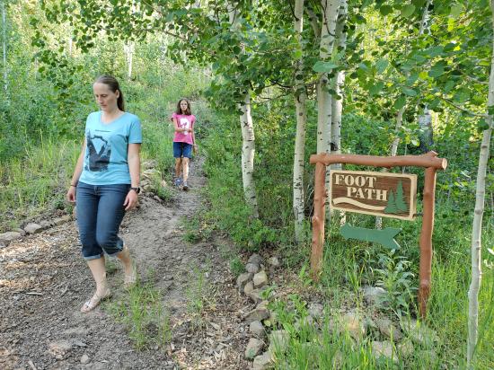
This short trail takes visitors up to a picnic table and a forest service road.
Trail Condition: Class 2 (Trail may have tree roots or rocks jutting out. Navigation skills may consist of following rock cairns and choosing turns at junctions. Elevation gains may be more substantial.)
Time: 15 minutes
Length: 0.2 miles one way
Elevation Gain: 150 ft
Fees: None
Recommended Ages:
 | 0-3 |
 | 4-11 |
 | 12-19 |
 | 20-49 |
 | 50-69 |
 | 70+ |
Recommended Months to Visit:
| Jan |
| Feb |
| Mar |
| Apr |
| May |
| Jun |
| Jul |
| Aug |
| Sep |
| Oct |
| Nov |
| Dec |
By Jeremy Dye
Jeremy Dye, Tara Dye, Savannah Dye, Madilyn Dye, Cooper Dye, Ondylyn Wagner, Killian Wagner, Miller Dye,
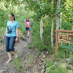
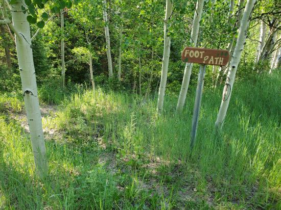
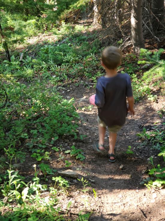
There's nothing like a deadline to get you motivated. Since it was our last trip to the cabin, we decided we better finally take the footpath to see where it leads. The trail was a bit overgrown with some fallen trees blocking parts of the path. Cooper lost his temper because Miller was hiking faster than him.


 Hiking Trails
 No Drinking Water
 Mountains
 Marked Trails
 Picnic Tables
 No Restrooms
 Road Access is Dirt - Low Clearance
 Access Road is 2WD Accessible
 Wildflowers and Vegitation
 Wildlife and Birding