 Paddling | Spanish Fork River (City Section)


Hype:
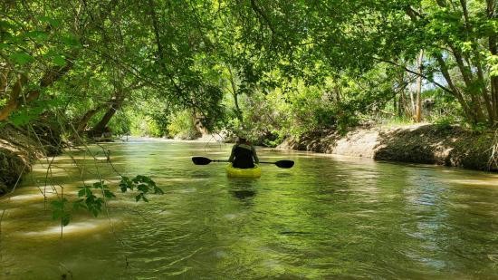
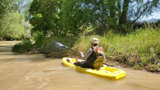
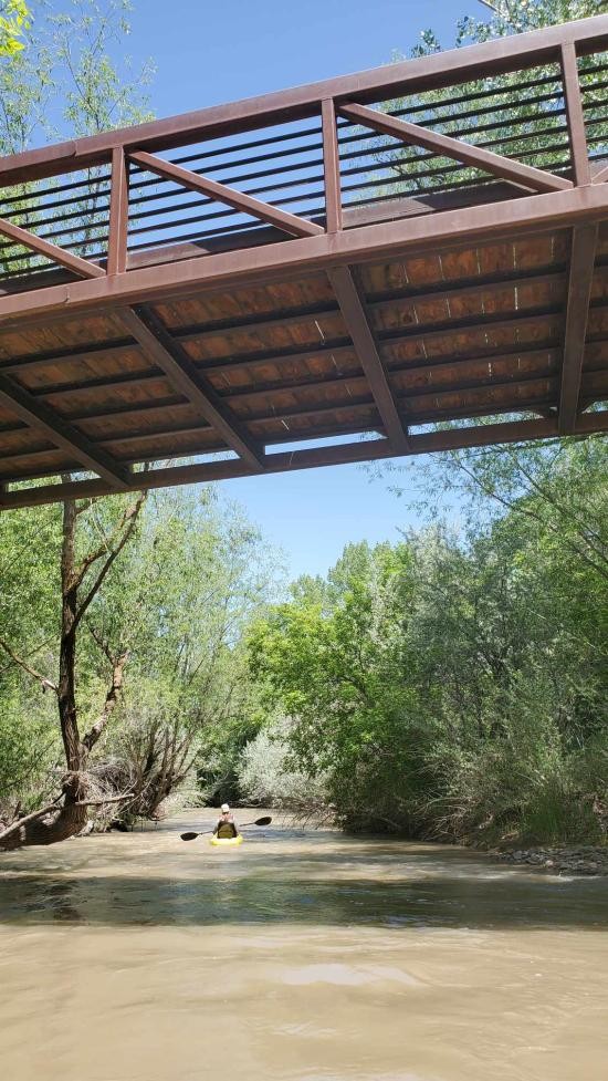
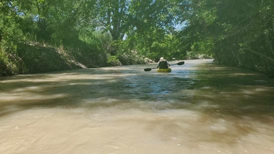
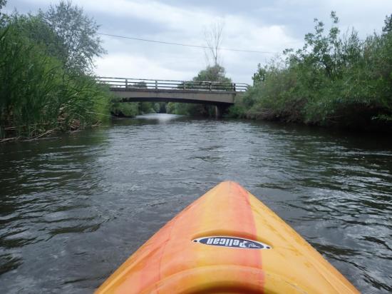
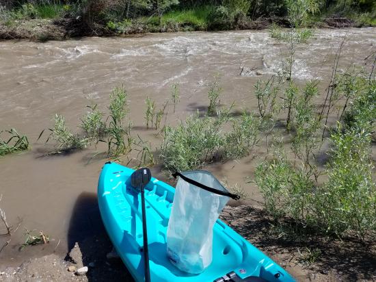
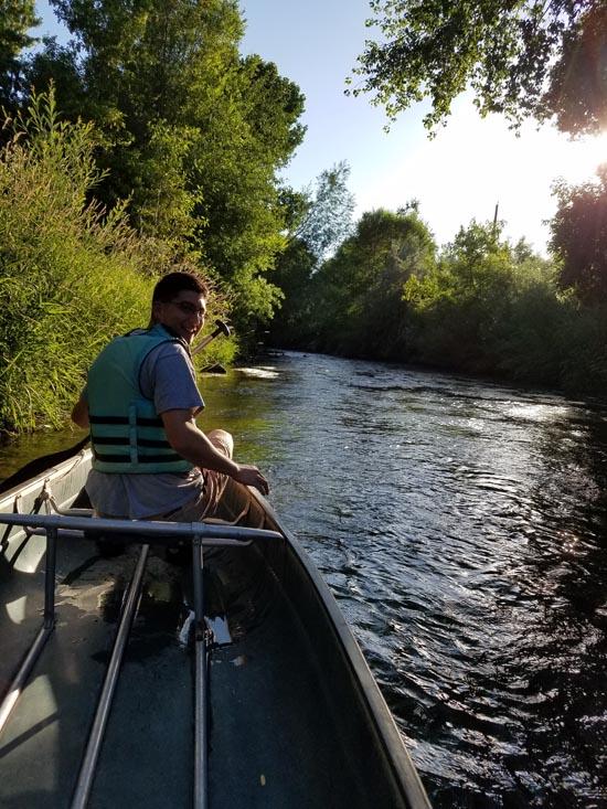
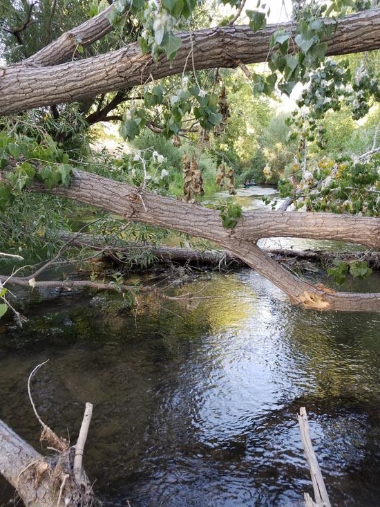
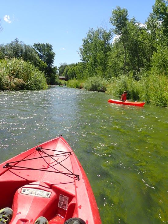
This section of the Spanish Fork River is extremely shallow and relatively calm. There are no official put-ins or take-outs, but the Spanish Fork River Trail provides multiple access points to the river. Canoes sit too low in the water and scrape bottom, and tubes don't work well because of the trees along the edges. Kayaks works best. This route is kid-friendly as long as they can steer well enough to avoid the Russian olive trees.Time: 3-4 hours
Length: 5.5 miles
Fees: None
Recommended Ages:
 | 0-3 |
 | 4-11 |
 | 12-19 |
 | 20-49 |
 | 50-69 |
 | 70+ |
Recommended Months to Visit:
| Jan |
| Feb |
| Mar |
| Apr |
| May |
| Jun |
| Jul |
| Aug |
| Sep |
| Oct |
| Nov |
| Dec |
Navigate to 40.094802, -111.655782.
Closest City or Region: Spanish Fork, Utah
Coordinates: 40.094802, -111.655782
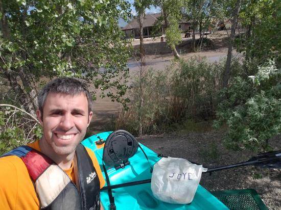
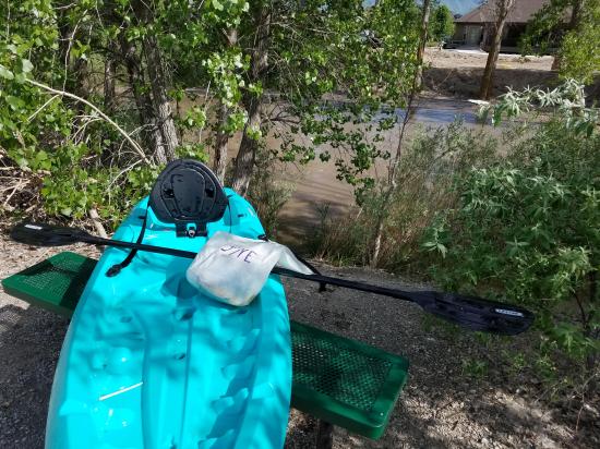
By Jeremy Dye
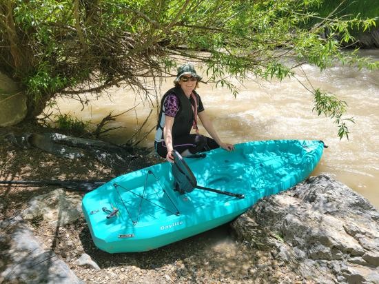
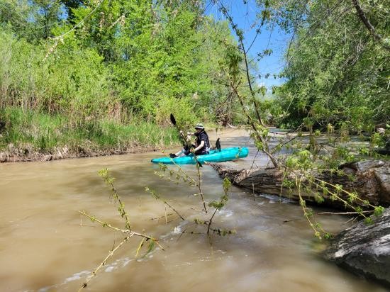
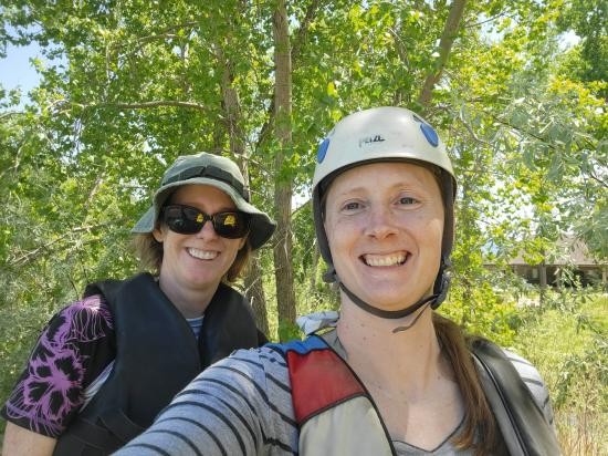
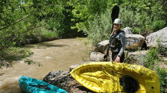
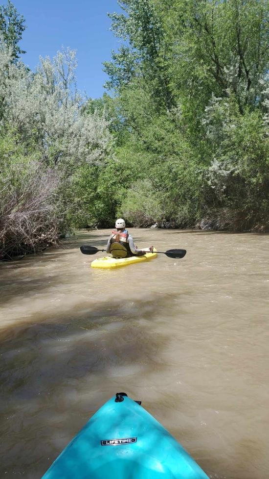
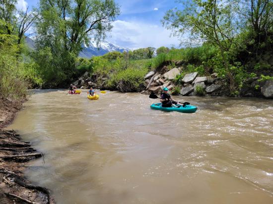
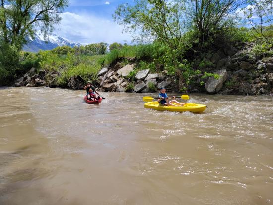
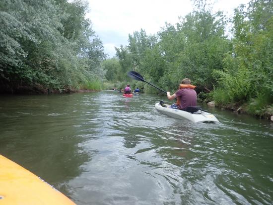
Tara kayaked the Spanish Fork River with Marci.
By Jeremy Dye
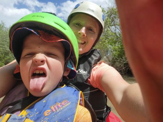
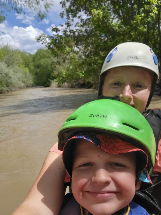
Tara Dye, Cooper Dye, Marci Parker, Lillian Parker,
By Jeremy Dye
Jeremy Dye, Spanish Fields Priests,
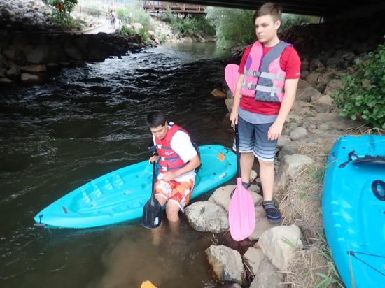
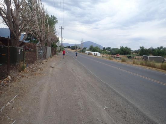
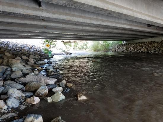
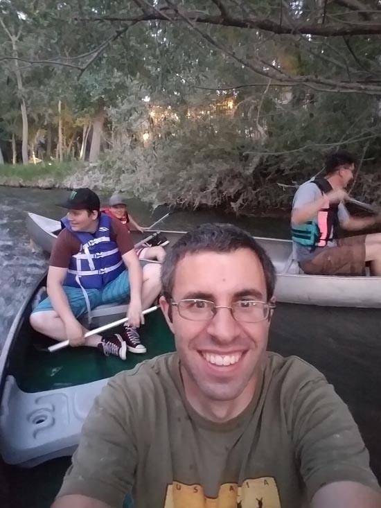
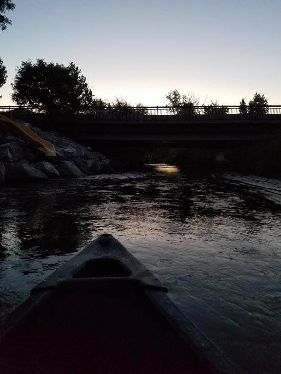
For one of our Tuesday night activities, we floated the Spanish Fork River. We put in at Main Street, and almost everyone took at at the Urban Forest. However 3 of the boys and I missed our pullout and had to take out at 1550 West instead. That means we had to leave our kayaks and walk two thirds of a mile back to my house where we could pick up the truck and then go fetch the kayaks.
By Jeremy Dye
Flow Rate: 875 (Spanish Fork at Castilla, UT)
Start Kayaking: 4:15 at Golf Course
End Kayaking: 5:15 at Urban Forest
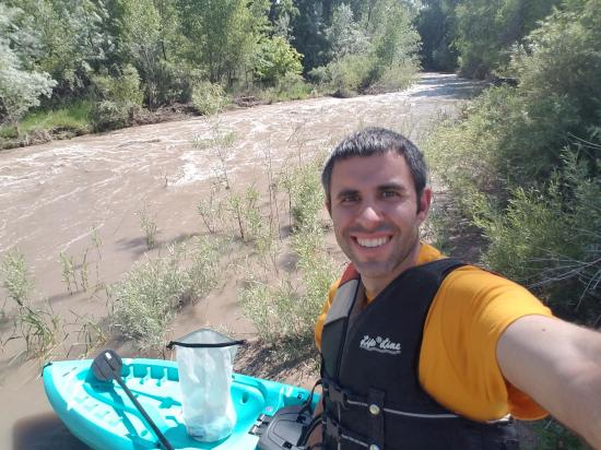
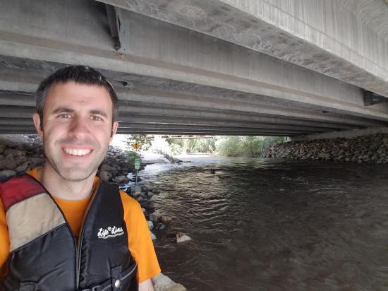
I floated the Spanish Fork River by myself. I drove up to the golf course, carried my kayak along the River Trail to the river, floated the river down to the Urban Forest, carried my kayak home, hopped on my bike and biked the River Trail up to the golf course, and then drove home.
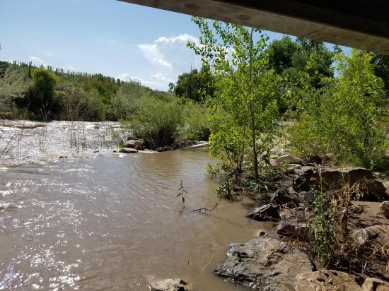
The Spanish Fork River was extremely high. It was flooding sections of the River Trail, and the current was very swift. I got knocked off my kayak 3 times from trees in the river. It was definitly too swift for me to do solo safely, but everything worked out. The biggest rapids were about 2 feet high.
By Jeremy Dye
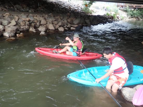
Jeremy Dye, Spanish Fields 1st Ward Priests,
We started at 1100 E at 7:30 and finished at 1100 W at 9:45.
Total trip was 3.7 miles in 2 hours and 15 minutes.
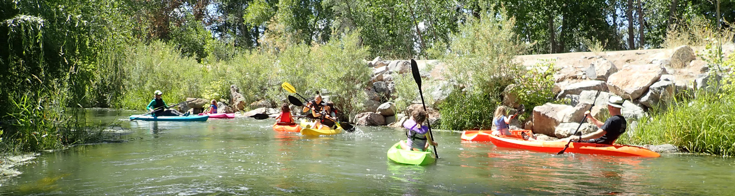
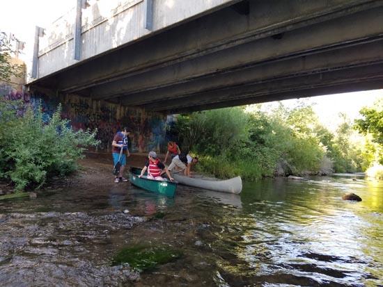
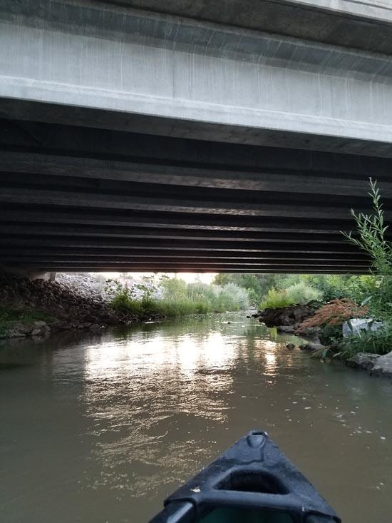
We took the Priests canoeing down the Spanish Fork River from 1100 East to 1100 West. We scraped bottom a LOT and had to get out and push the canoes at least a dozen times. Once we got to Main Street, it got a little deeper and we were able to speed up a little. We learned the hard way that canoes sit too low in the water for this river.
By Jeremy Dye
Jeremy Dye, Tara Dye, Savannah Dye, Madilyn Dye, Cooper Dye, Marci Parker, Callie Parker, Wade Parker, Aria Parker, Lillian Parker, Robertses,
We started our float at Main Street at 11:30 am.
We ended at 1100 West at 12:30.
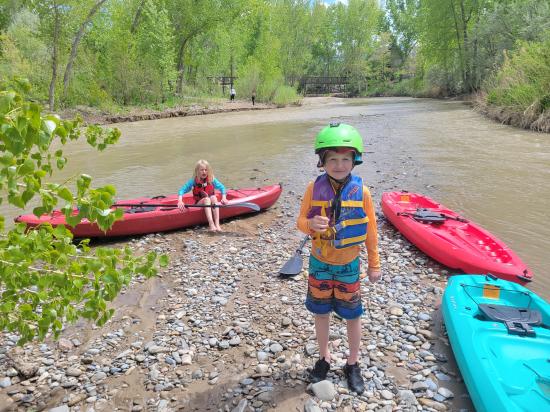
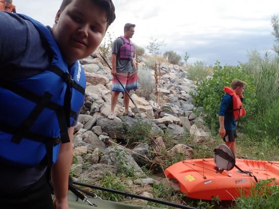
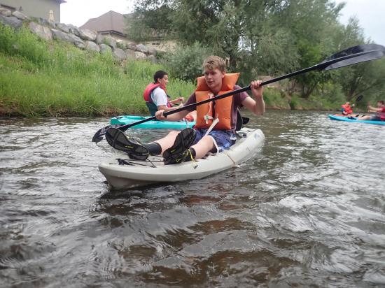
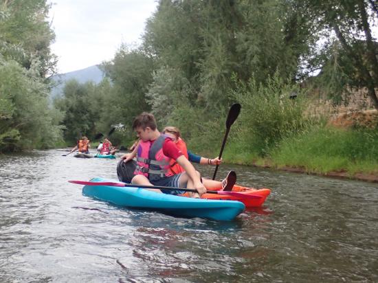
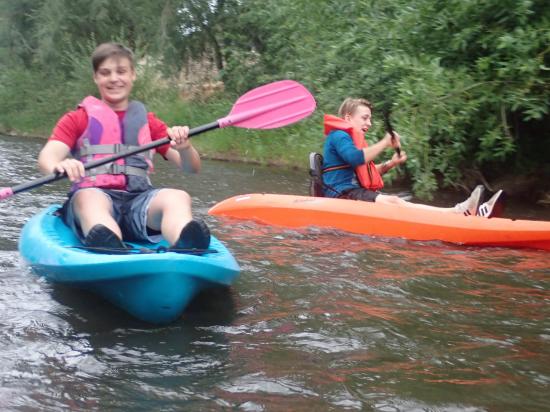
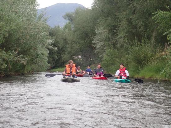
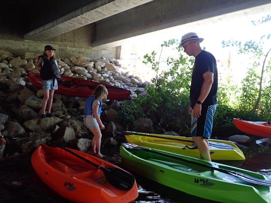
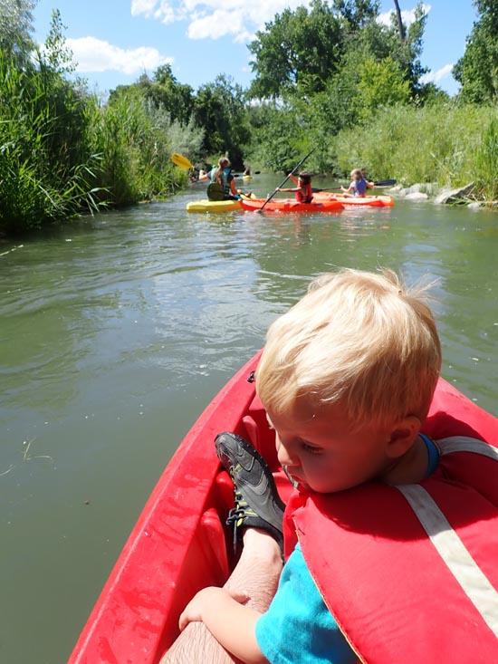
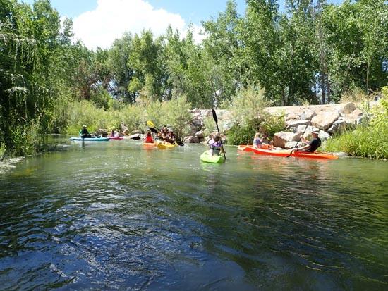
We had been trying to plan a trip down the Spanish Fork river for several weeks before we finally found a time that worked for everyone. We borrowed some kayaks from the Bevans and the Parkers and floated the Spanish Fork River from Main Street to the cul-de-sac by our house. Shawn offered to be the shuttle driver for us. We had 4 adults and 6 kids, so it was a bit hectic. None of our kids had really kayaked before, so they were bouncing off both banks the whole time. A couple of the kids got scratched up a bit from the russian olive trees. It was just the right length for a trip with small kids.

 Non-potable Water - filterable
 Rivers and Streams
 Road Access is Paved
 Access Road is 2WD Accessible
 Paddling
 Wildflowers and Vegitation
 Wildlife and Birding
 Fishing