 Canyoneering | Rock Canyon


Hype:
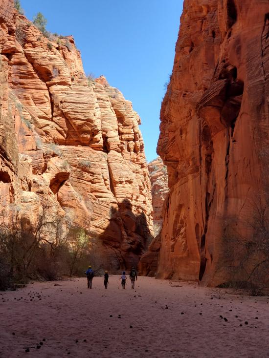
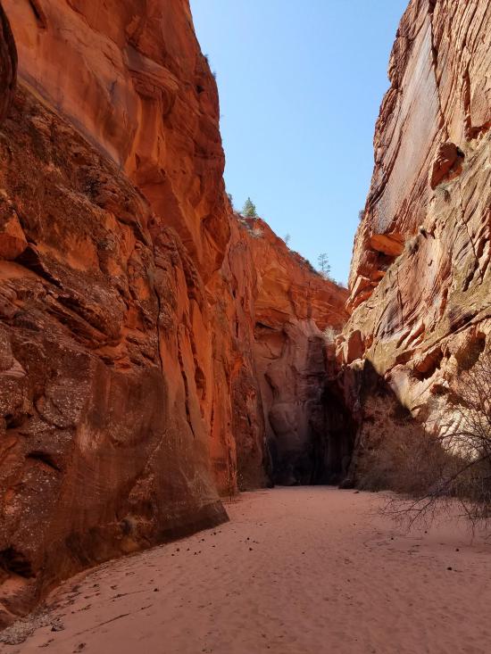
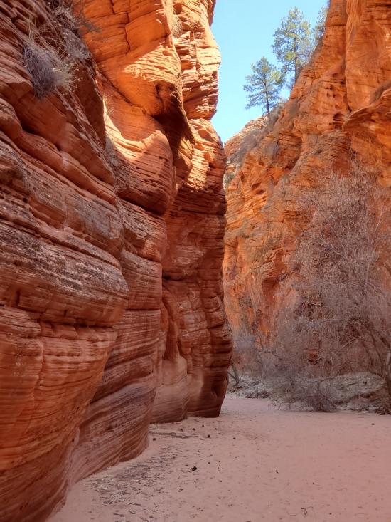
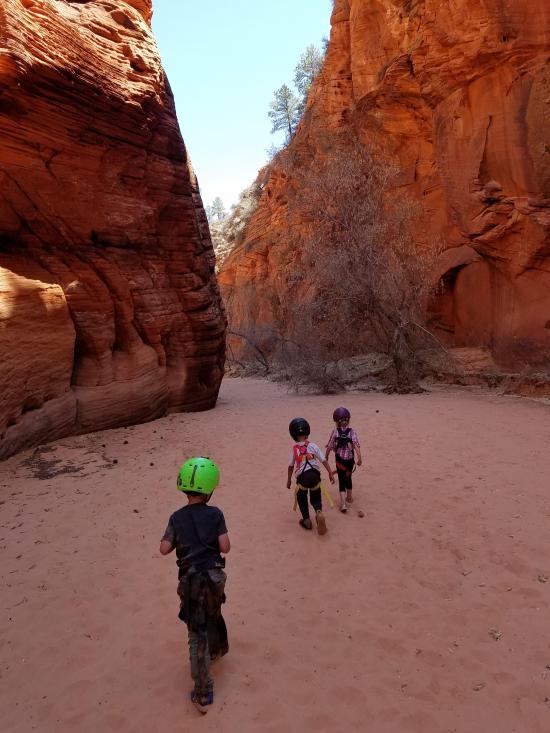
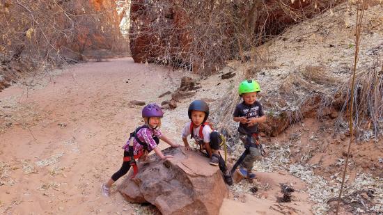
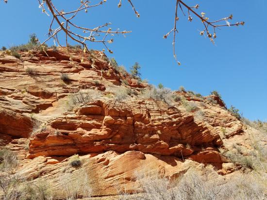
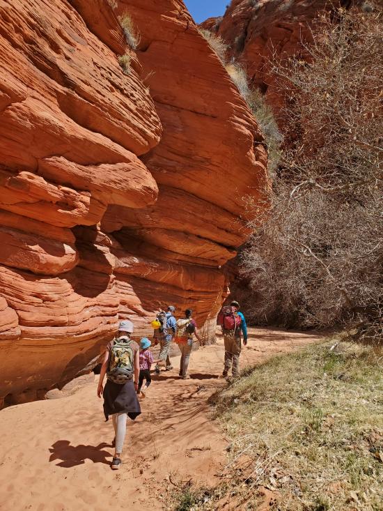
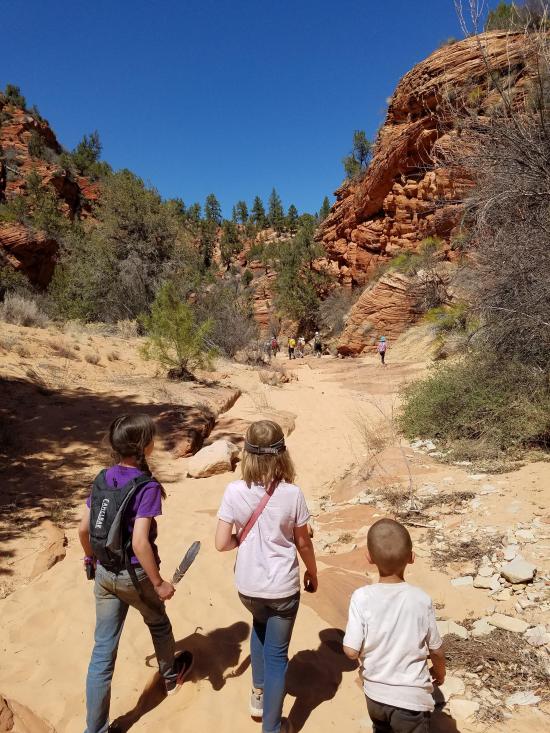
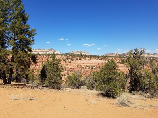
Rock Canyon is a great little canyon just outside Zion National Park. The canyon has 3-6 rappels, all with easy starts, and two easy potholes. The are no other major obstacles. The rest of the canyon is open walking but very scenic with a nice riparian section. Just past the bottom of the canyon is an amazing petroglyph panel that is definitely worth checking out. If you have two vehicles, you can park one near the canyon bottom and shave almost a mile off the exit hike. The one major downside to this canyon is access; the drive to Rock Canyon requires about an hour of deep-sand driving.
Canyon Rating: 3A 
Time: 3-4 hours
Length: 2-3 miles round trip depending on shuttle
Longest Rappel: 110 ft
Gear: Standard canyoneering gear.
Fees: None
Recommended Ages:
 | 0-3 |
 | 4-11 |
 | 12-19 |
 | 20-49 |
 | 50-69 |
 | 70+ |
Recommended Months to Visit:
| Jan |
| Feb |
| Mar |
| Apr |
| May |
| Jun |
| Jul |
| Aug |
| Sep |
| Oct |
| Nov |
| Dec |
Links: https://www.roadtripryan.com/go/t/utah/zion/rock-canyon
Navigate to 37.161230, -112.829251.
Park on the right side of the road.
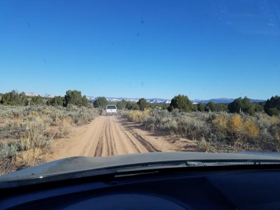
I highly recommend that you download the KML file at the top of this page and load it into your phone before you start the trip. There are no road signs or cell signal along the way, so you'll want to have the file loaded ahead of time. Almost the entire dirt road has deep sand, so you'll need a 4WD or AWD vehicle. Be prepared to reduce the air pressure in your tires if necessary to help float higher in the sand.
If you have two vehicles, you can park one at 37.170081°, -112.820918° to cut out about a mile from the exit hike.
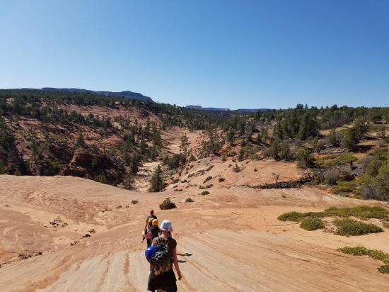
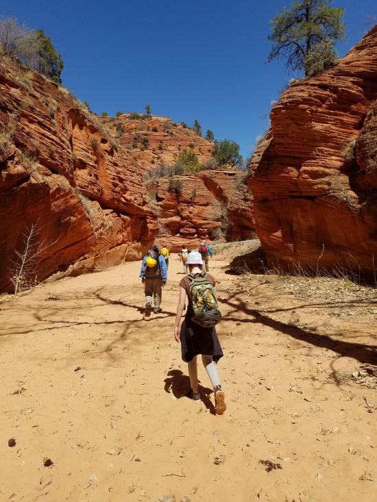
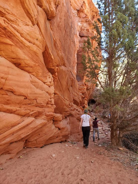
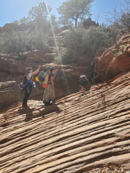
From the trailhead parking, head south-southeast for about a third of a mile to the head of Rock Canyon. The slickrock is steep in a few places, but you can route-find your way around the worst of it.
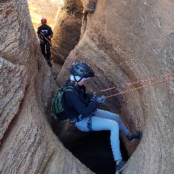
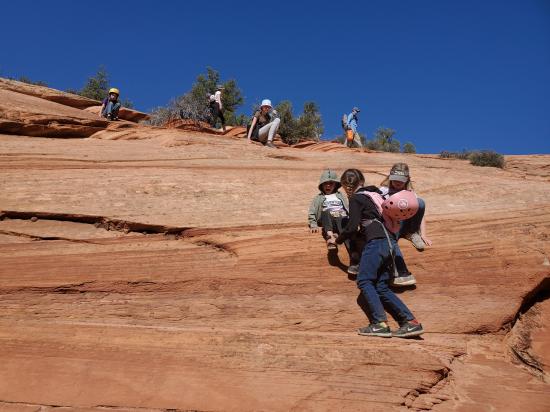
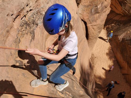
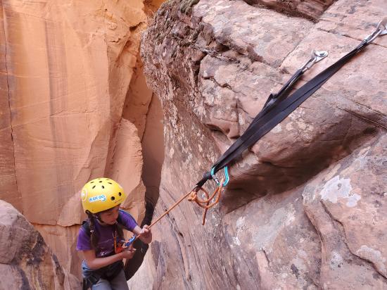
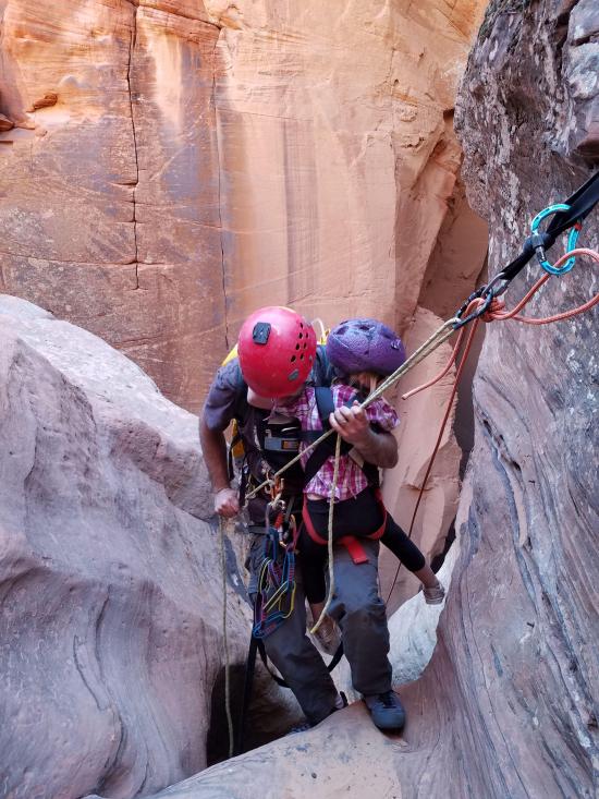
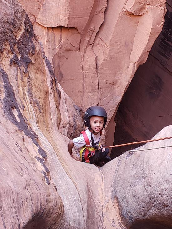
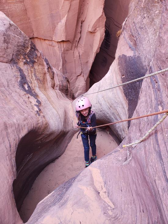
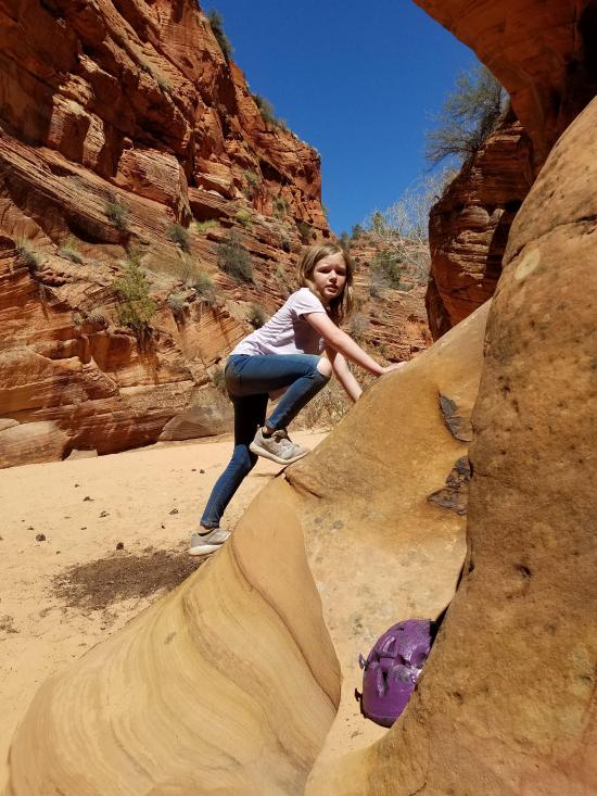
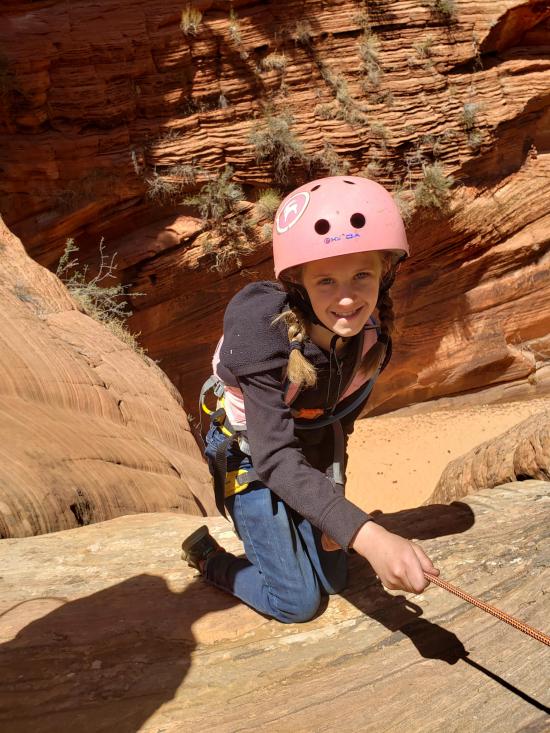
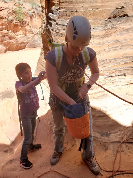
The canyon starts off with two potholes. A bolt at the top of the first pothole is available for those not able to bridge over the potholes. The first pothole is about 6-8 feet deep and will likely require a partner assist for those who elect to rappel into the pothole. The second pothole is only 4-6 feet deep and can be escaped solo by most.
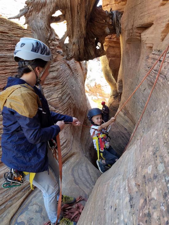
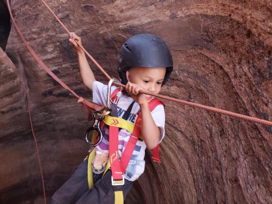
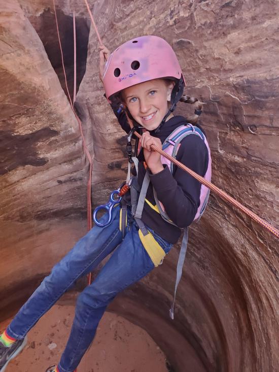
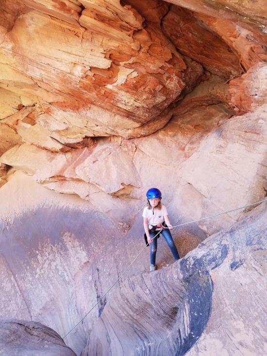
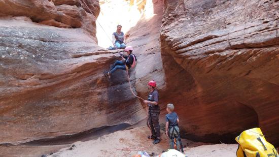
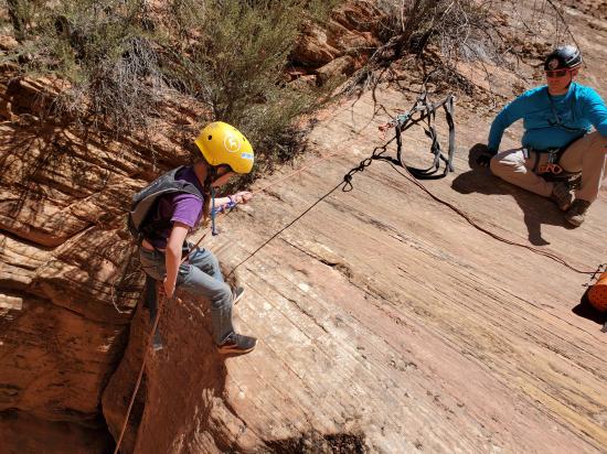
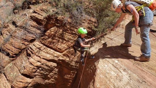
Once one person is across the two potholes, you may want to rig a guided rappel for the rest of the group. This is generally only recommended if your group includes kids or others who have difficulty climbing. Everyone else should have no issue either bridging over or climbing out of the potholes.
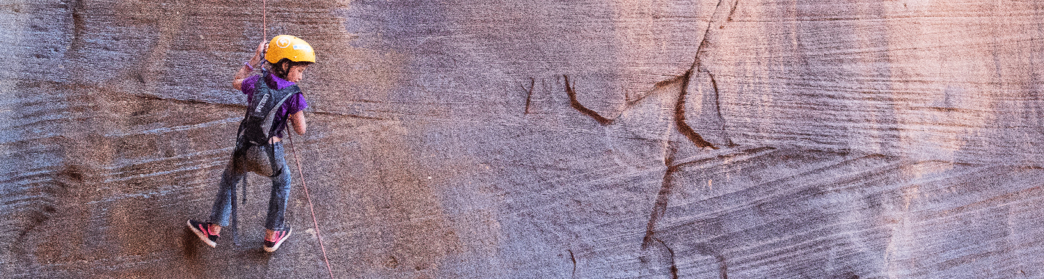
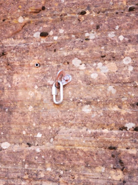
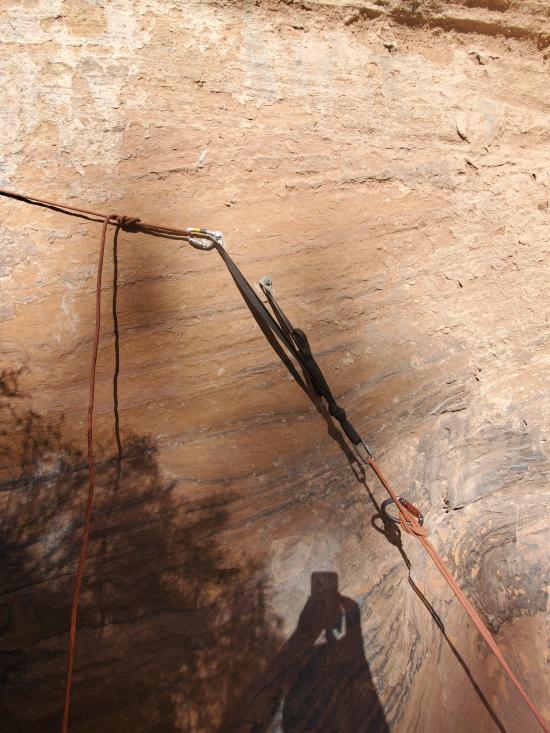
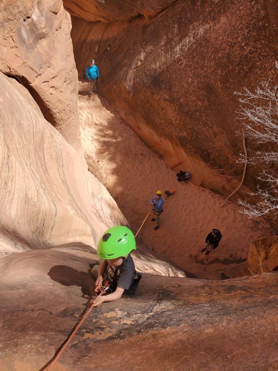
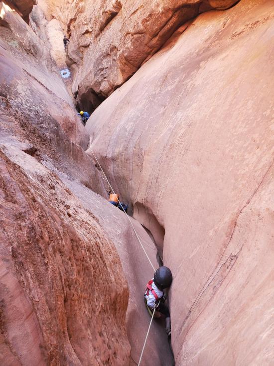
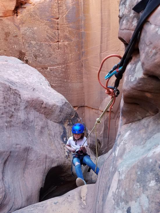
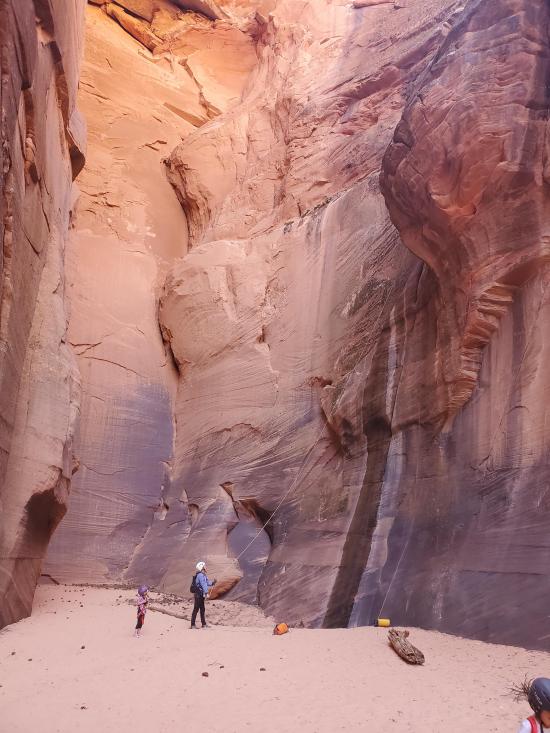
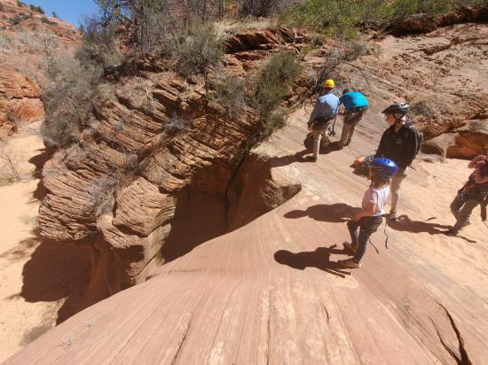
The next drop is right after the second pothole. It is a 50-foot rappel from a bolted anchor.
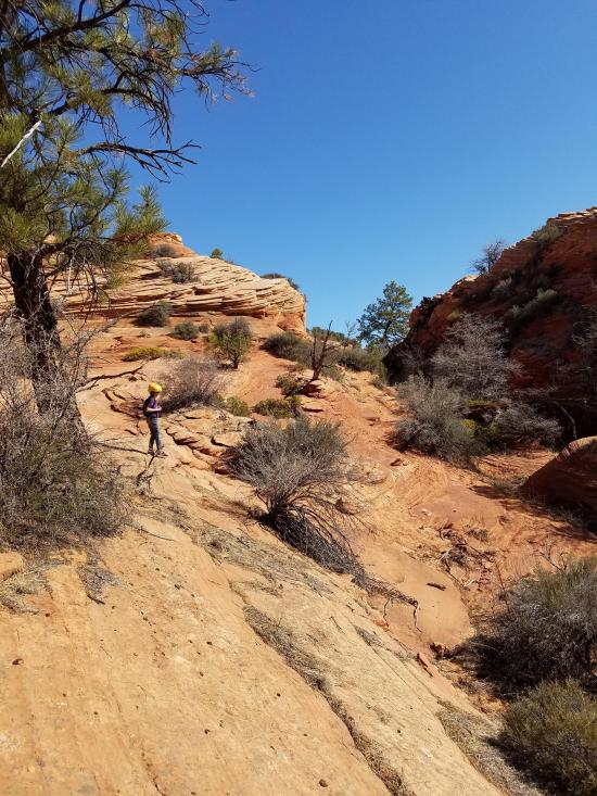
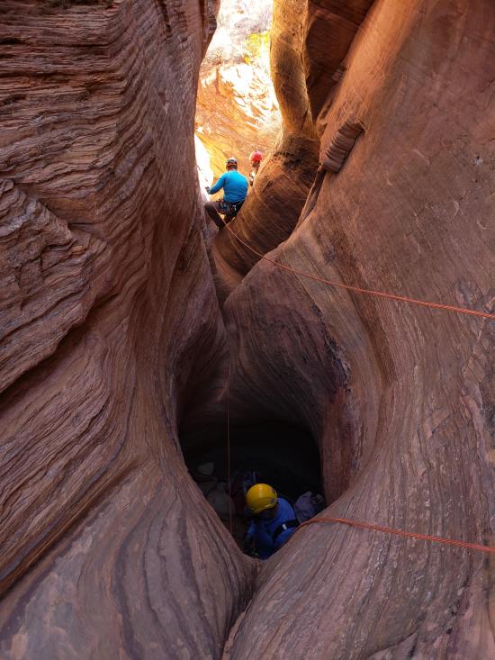
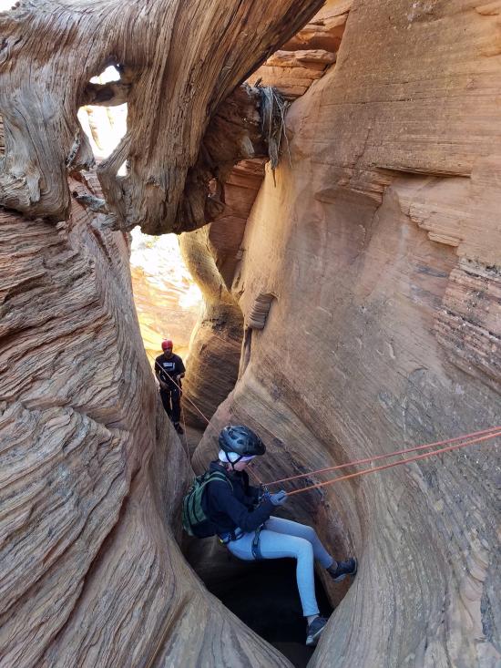
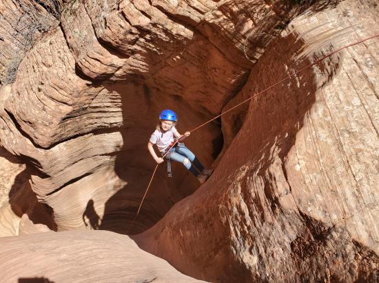
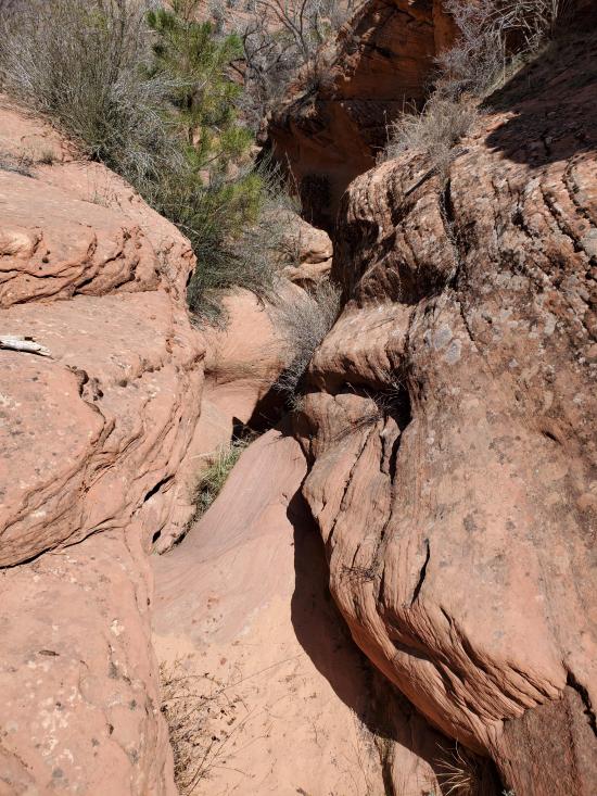
A minute or two down canyon is a long, V-shaped crack. The crack is flat enougth that most will be able to downclimb it, but the crack can also be rappelled from a 2-bolt anchor.
A couple hundred feet down canyon is a 10-foot drop. This drop can be rappelled or downclimbed or partner assisted. The anchor, if needed, is right LDC
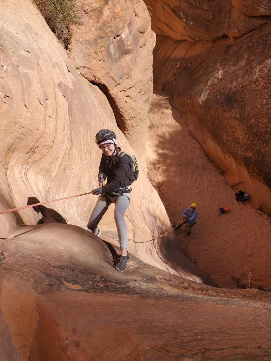
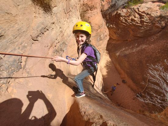
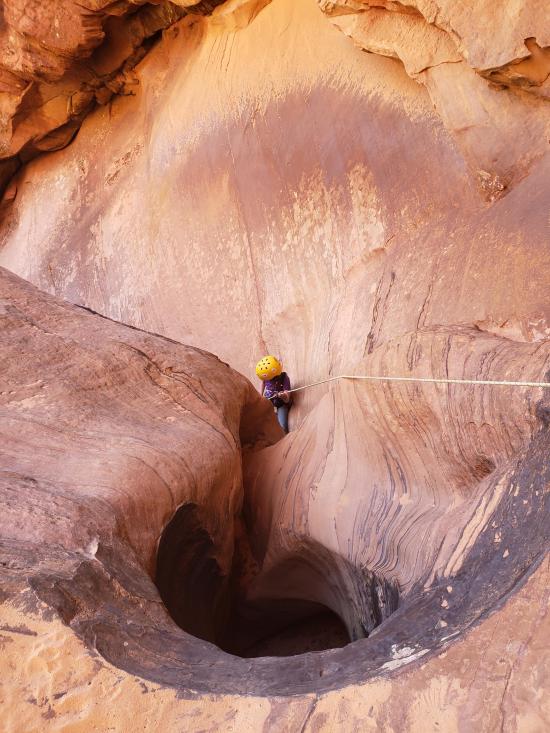
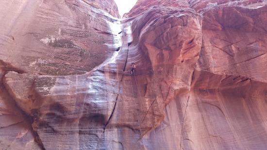
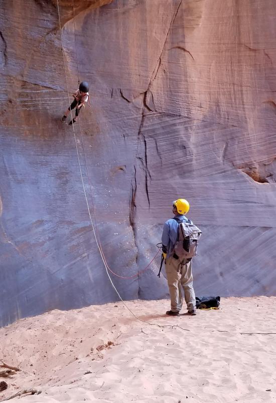
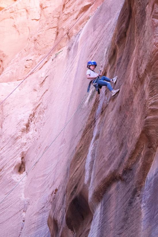
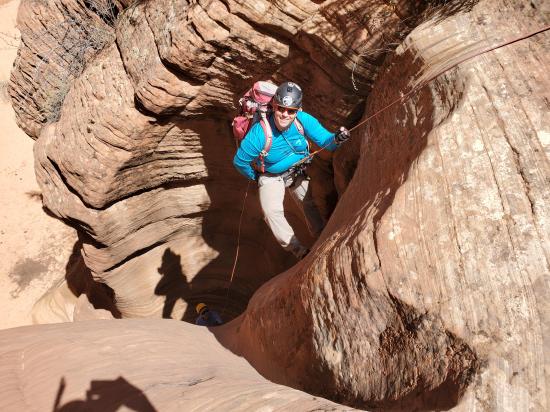
Just down canyon from the short drop is a 110-foot rappel from a 2-bolt anchor. This rappel is down a flat wall with a seep, which make it especially photogenic.
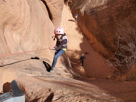
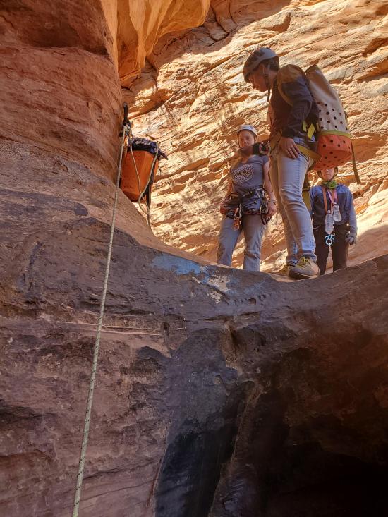
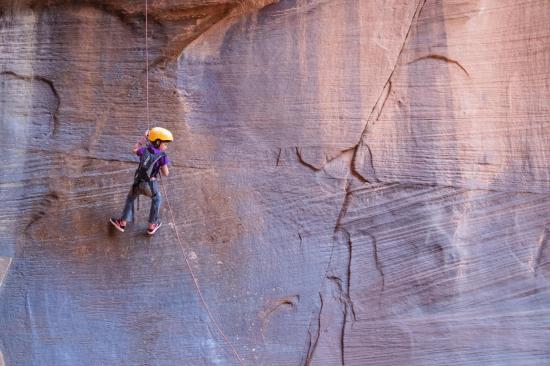
Bag your rope but leave your harnesses on. The next and final drop is about a half mile down canyon. The drop is a 20-foot rappel from a 2-bolt anchor. You can now take off harnesses.
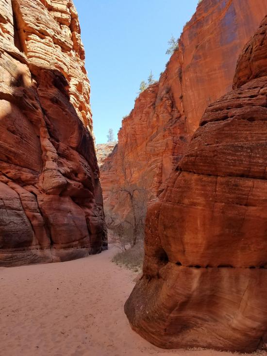
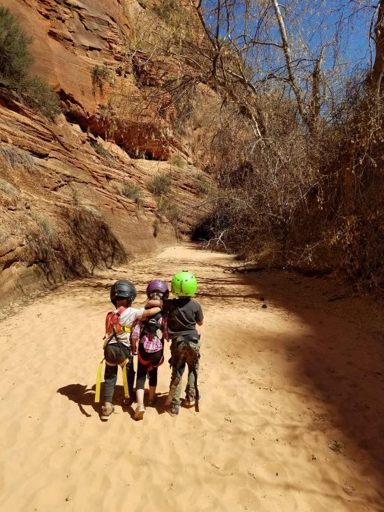
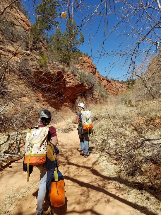
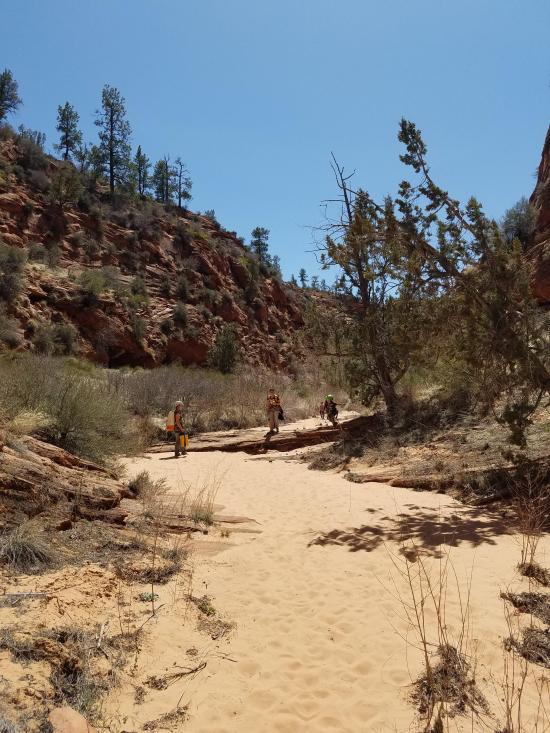
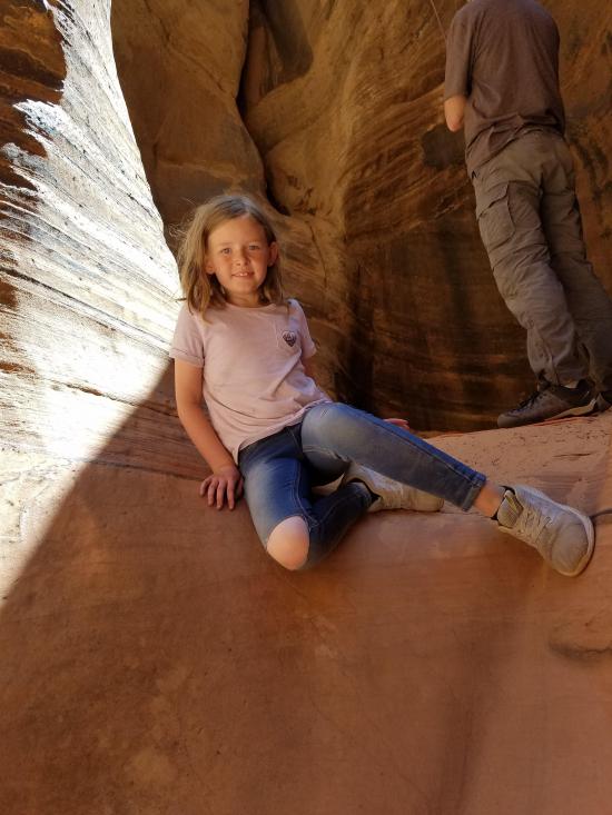
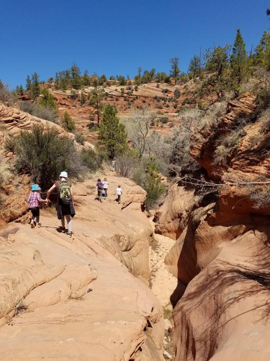
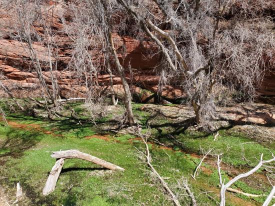
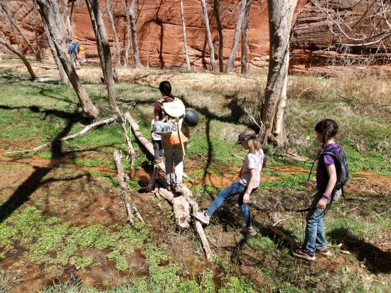
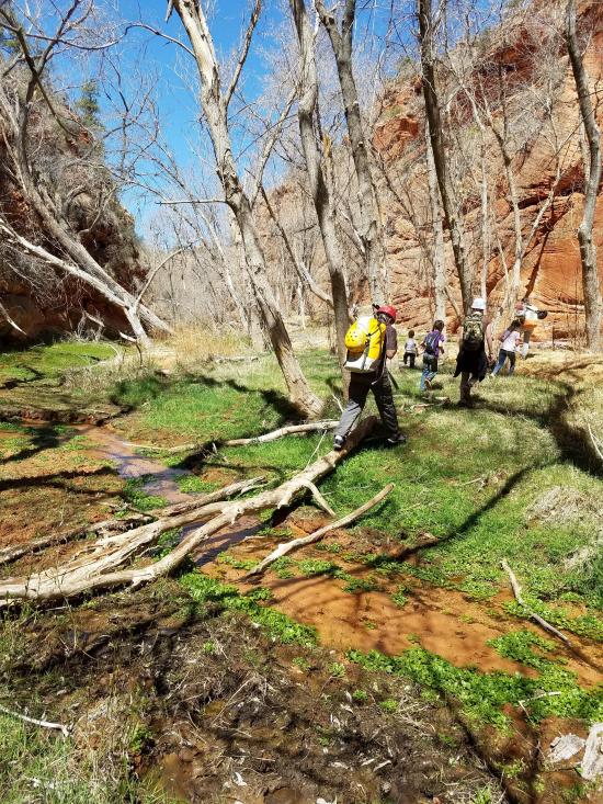
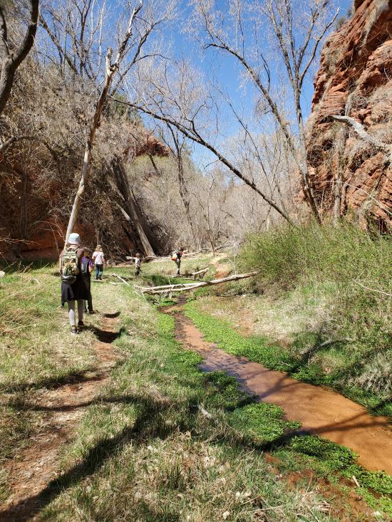
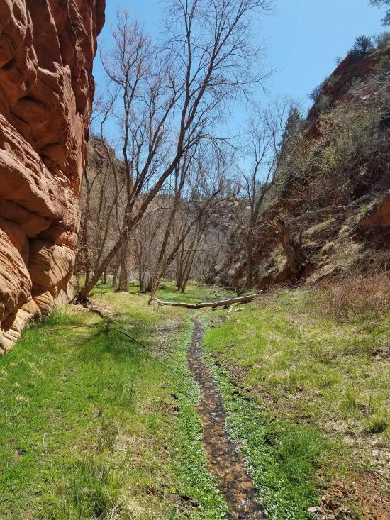
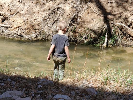
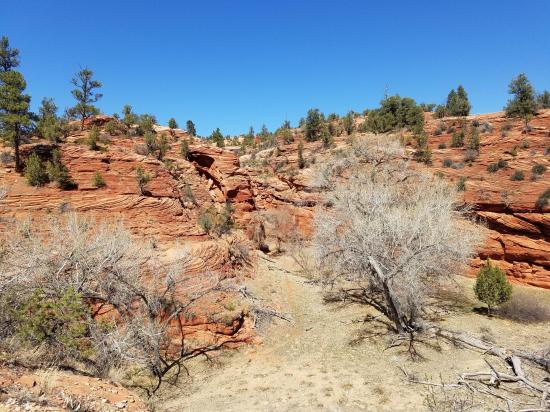
After another third of a mile is a drop that you can bypass on the left. Shortly after this, the riparian section begins. There are some springs and a small flowing stream. Follow the social trail down canyon, crossing the stream several times.
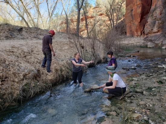
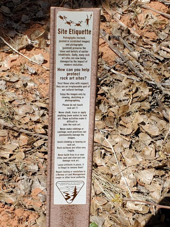
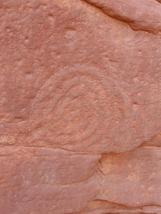
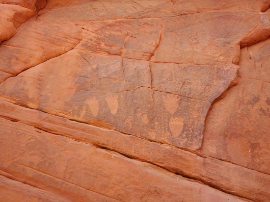
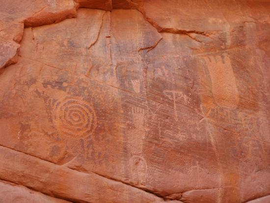
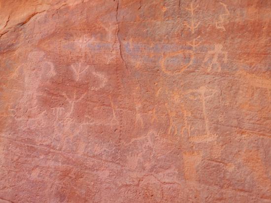
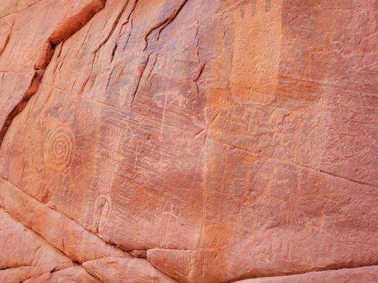
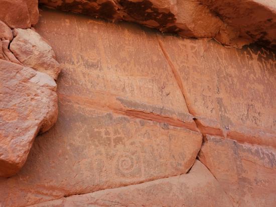
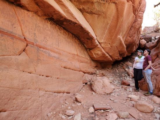
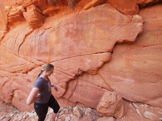
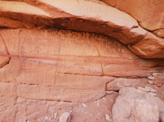
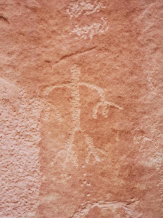
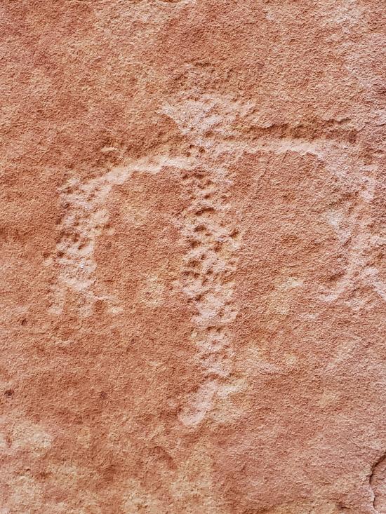
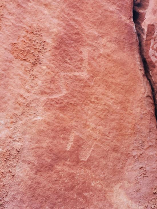
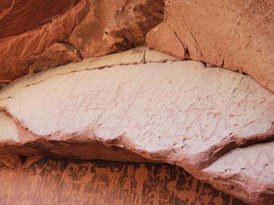
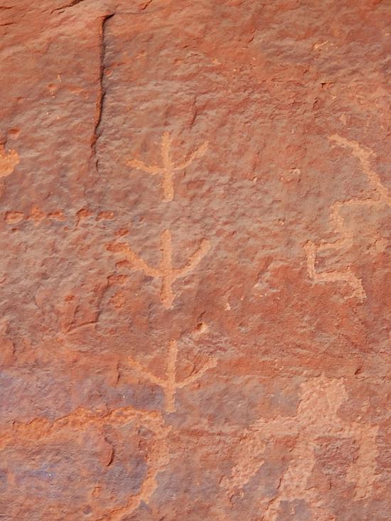
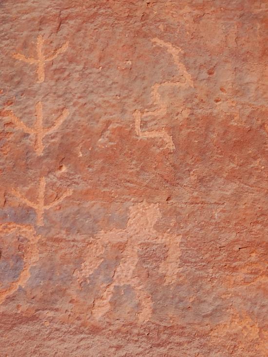
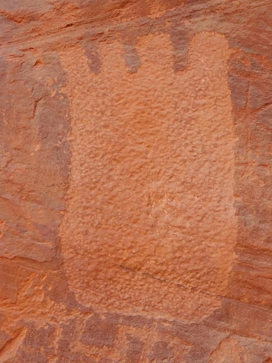
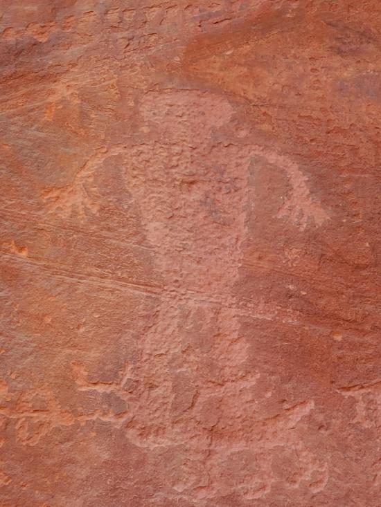
Once you reach the bottom of the canyon, I highly encourage everyone to take a little side trip to a spectacular petroglyph panel. Cross the East Fork Virgin River and hike about 600 feet to the panel. This is well worth the effort.
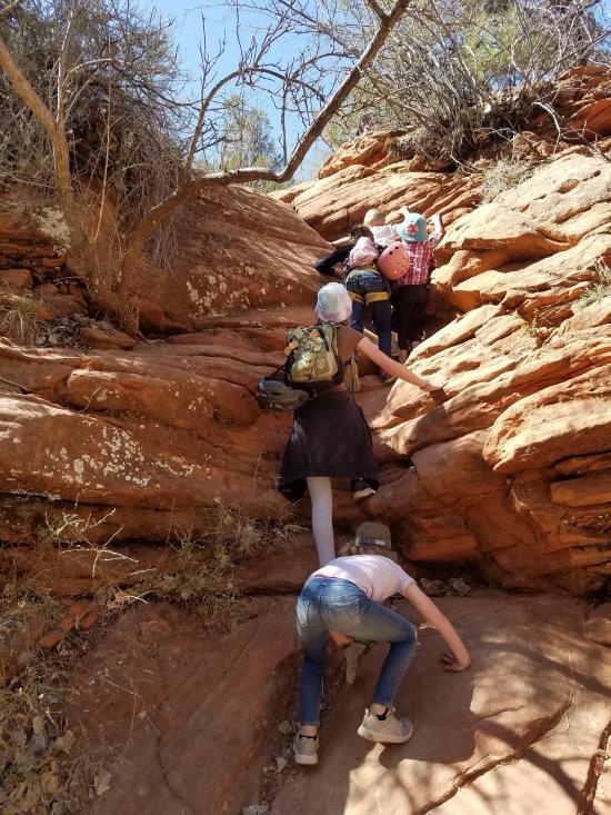
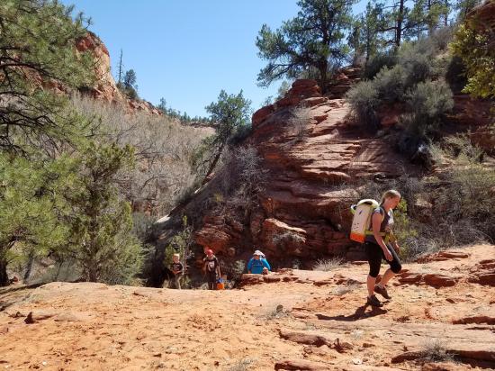
From the bottom of Rock Canyon, follow the social trails west and upward. You can switchback as necessary to avoid the difficult climbing. If you choose your route carefully, you can avoid any difficult scrambles. There are a lot of options, so just keep an eye on your map and find the best route up to your car. The exit is about a quarter mile with 250 feet of elevation gain if you leave a shuttle. If you don't have a shuttle, it's an additional 350 ft vertical and most of a mile horizontal. Either way, the approach and exit are minor compared to the fun of the canyon.
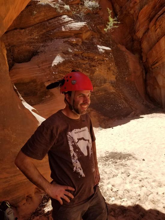
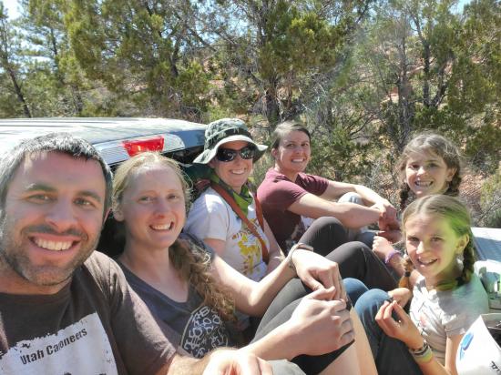
By Jeremy Dye
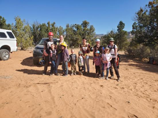
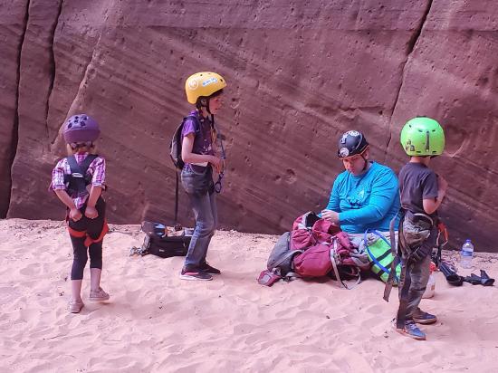
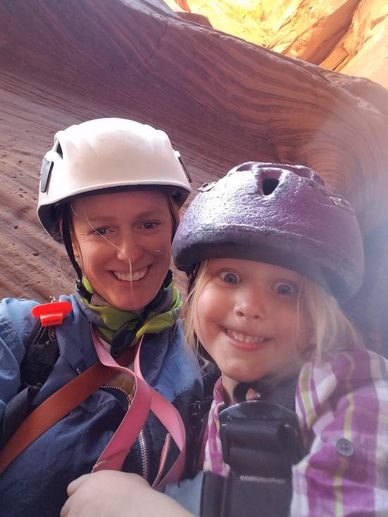
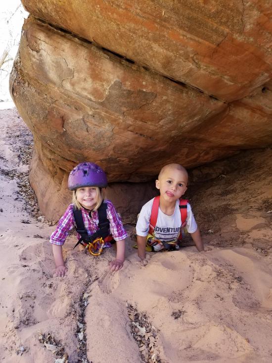
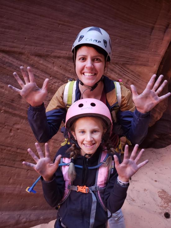
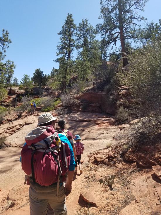
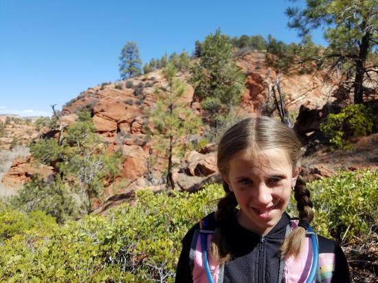
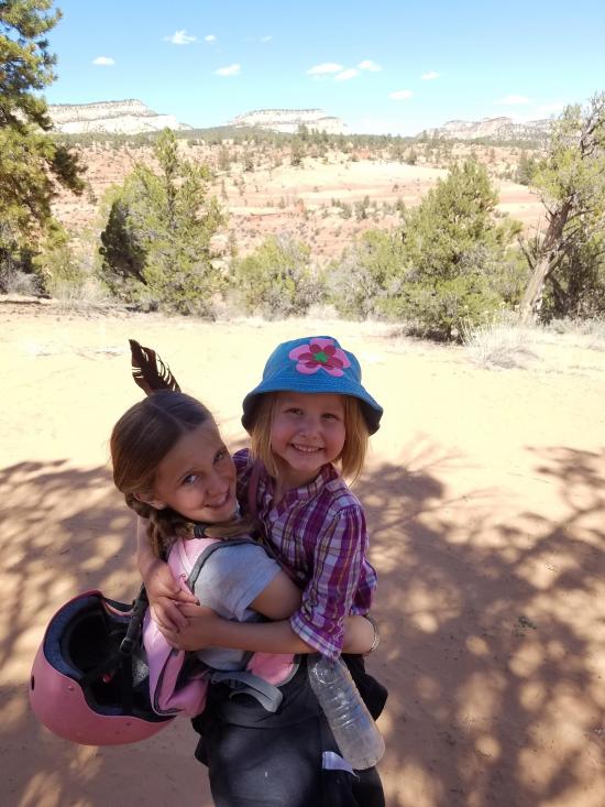
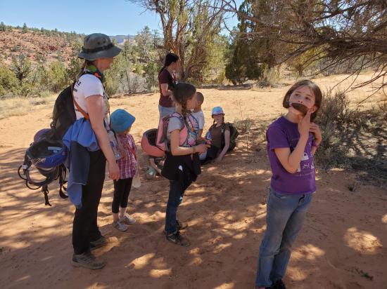
Jeremy Dye, Tara Dye, Savannah Dye, Madilyn Dye, Cooper Dye, Ondylyn Wagner, Killian Wagner, Marci Parker, Wade Parker, Aria Parker, Lillian Parker, Mike Steck, ,
Start: 10:20
End: 3:20
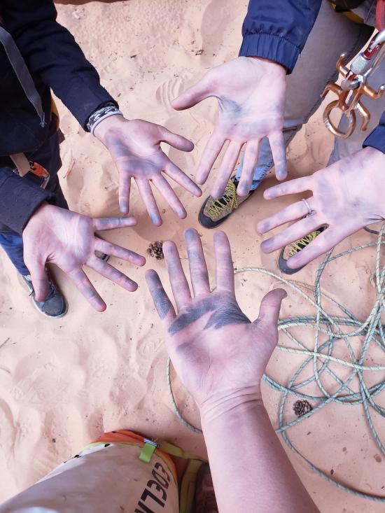
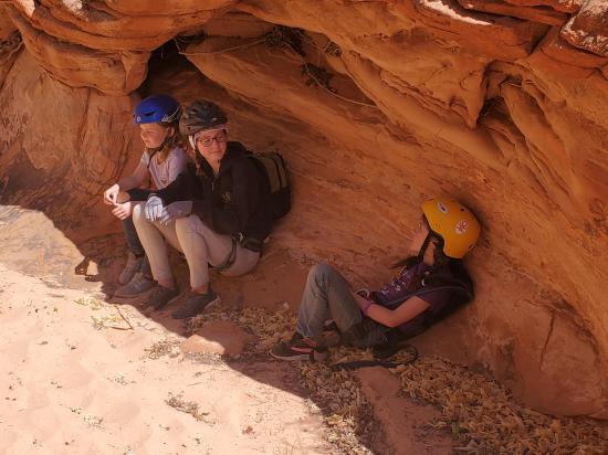
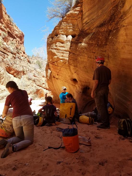
We had a great time in Rock Canyon. We took is kind of leisurely, which was a necessity for hay big our group was and how many kids we had. The canyon was pleasant and scenic and everyone had a great time. About half of us visited the petroglyphs before we hiked to the shuttle car. Mike was very much on edge with the entire group piled into his truck including several of us in the bed.


_550w.jpg)


 Hancock Road Primitive Camping
 South Fork Indian Canyon Pictographs
 Johnson Canyon Gunsmoke Movie Set
Johnson Canyon Pioneer Billboard
 Pipe Spring National Monument Visitor Center and Museum
Red Pueblo Museum and Heritage Park
Moccasin Mountain Dinosaur Tracksite
 Peekaboo Canyon aka Red Canyon
East Fork Virgin River Petroglyph Panel
Hancock Road Primitive Camping
Peekaboo Canyon aka Red Canyon
Coral Pink Sand Dunes State Park
East Fork Virgin River Petroglyph Panel
Johnson Canyon Gunsmoke Movie Set
Johnson Canyon Pioneer Billboard
Moccasin Mountain Dinosaur Tracksite
South Fork Indian Canyon Pictographs
Red Pueblo Museum and Heritage Park
 Rappels
 Downclimbs
 Pothole Escapes - Partner Assist
 Fixed Anchors
 Wetsuit Generally Not Required
 Non-potable Water - filterable
 Slot Canyon
 Rivers and Streams
 Wayfinding
 No Restrooms
 Road Access is Dirt - High Clearance
 Access Road is 4WD
 Wildflowers and Vegitation
 Wildlife and Birding