 Canyoneering | The Squeeze


Hype:
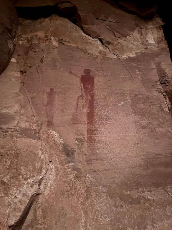
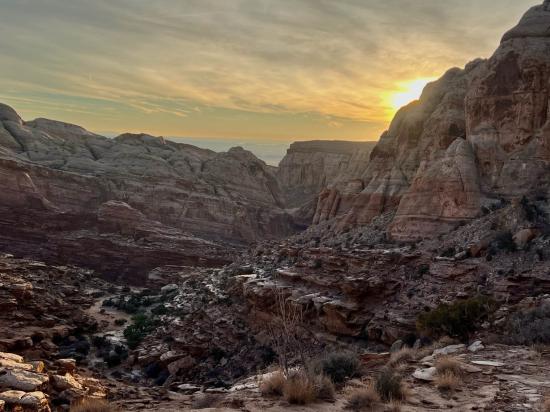
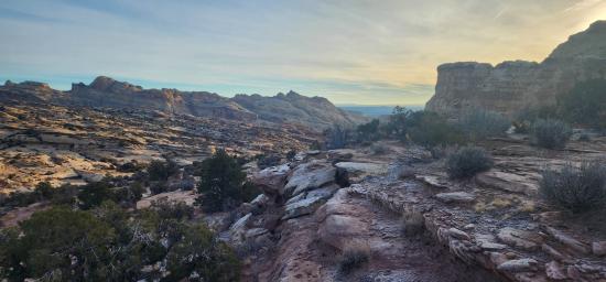
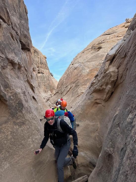
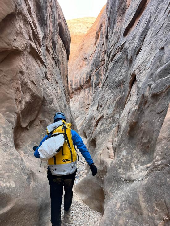
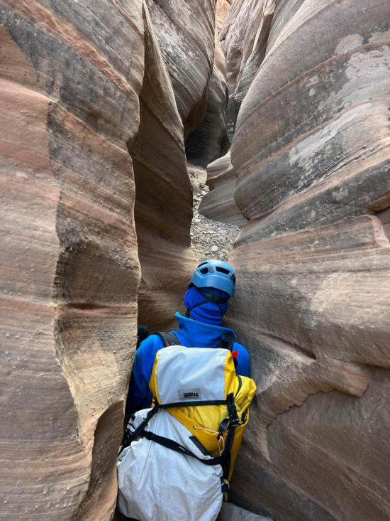
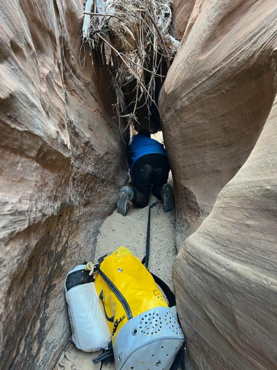
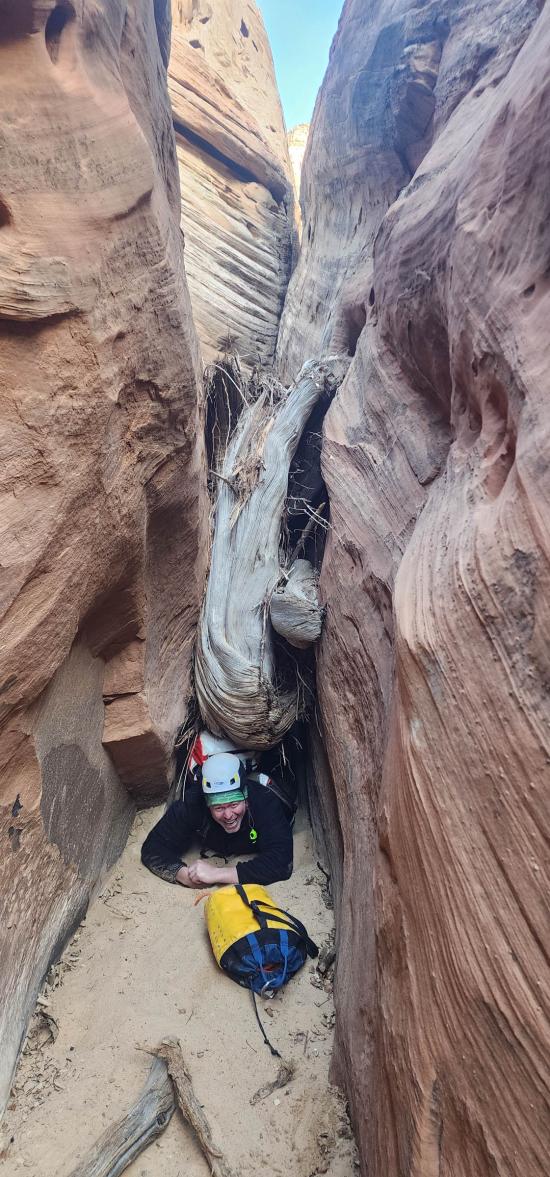
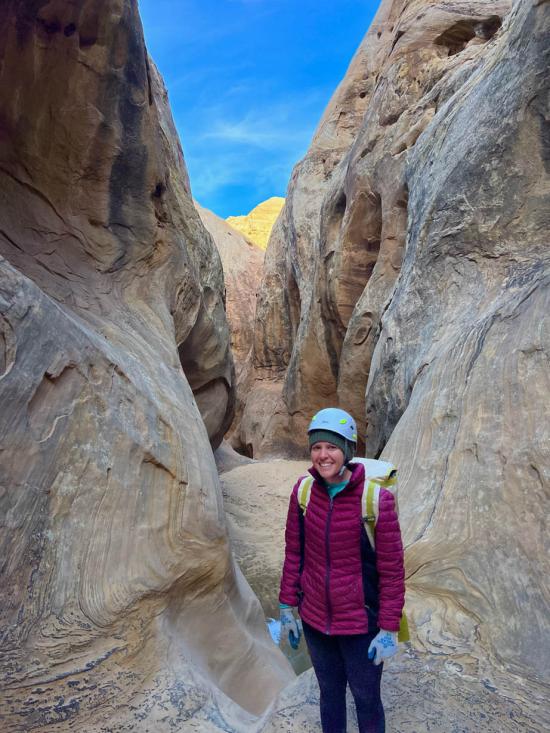
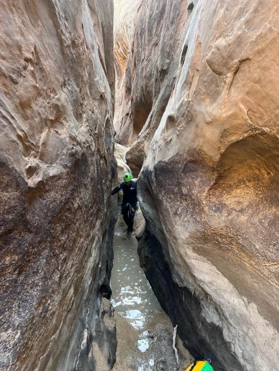
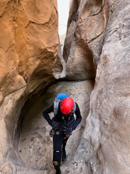
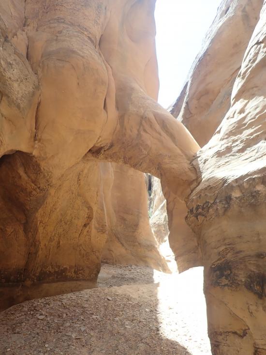
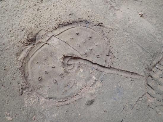
The Squeeze is one of the longer and more difficult canyons around. With up to 17 rappels, multiple potholes, some light stemming, and around 10 total miles traveled, The Squeeze makes for a full day of canyoneering. This is not a canyon to be taken lightly. Along the way, enjoy a pictograph panel, five arches, mining relics, and a dirt airstrip.
Canyon Rating: 3B 
Time: 7-12 hours
Length: 10 miles round trip from Hidden Splendor, 8.7 miles round trip from Factory Butte.
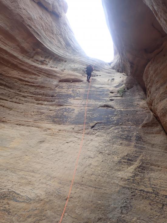
Longest Rappel: up to 17 rappels to 100 ft
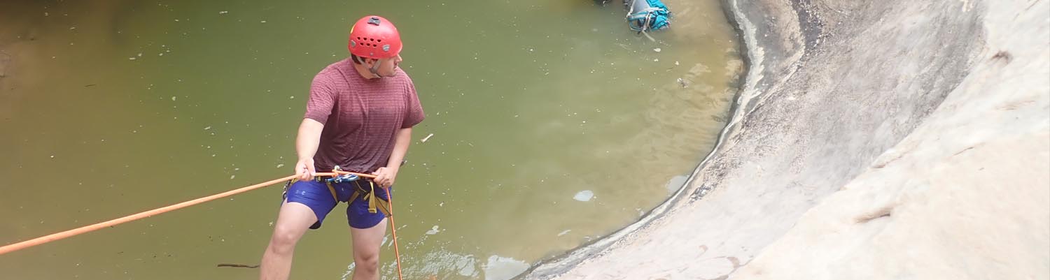
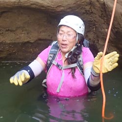
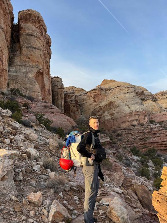
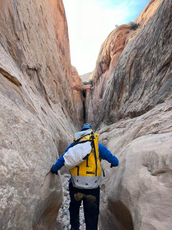
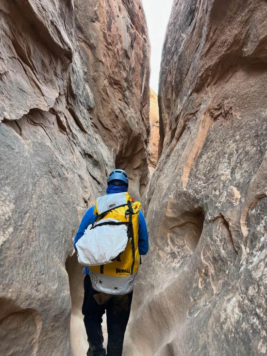
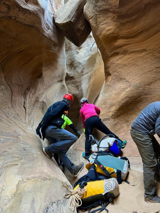
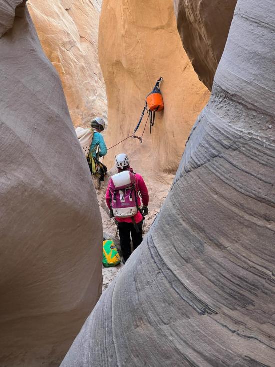
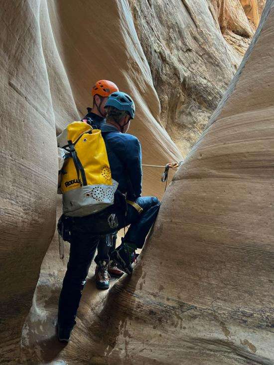
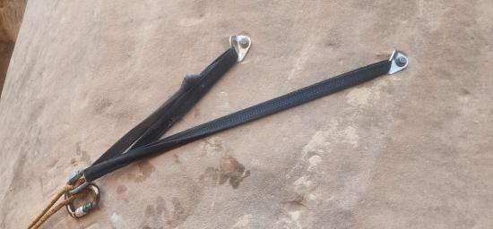
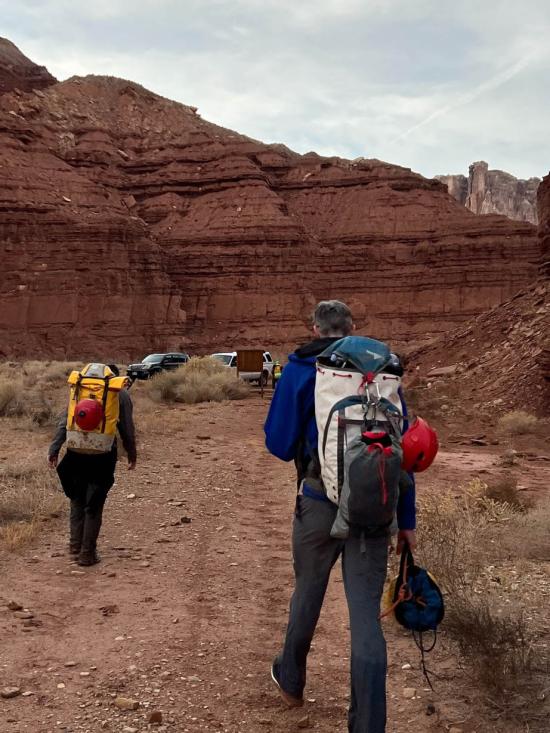
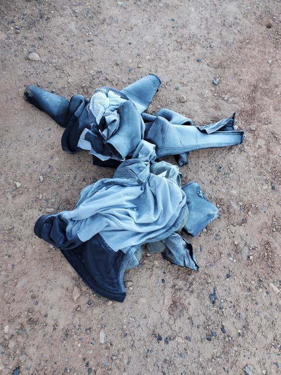
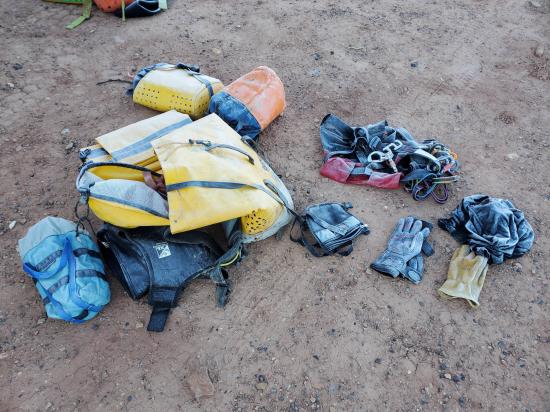
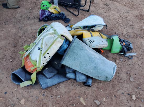
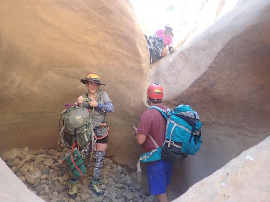
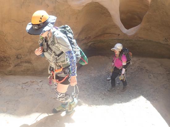
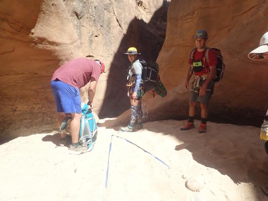
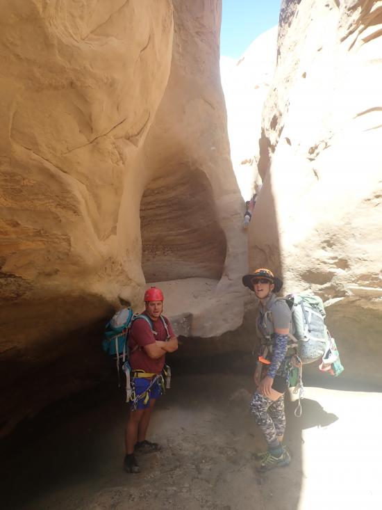
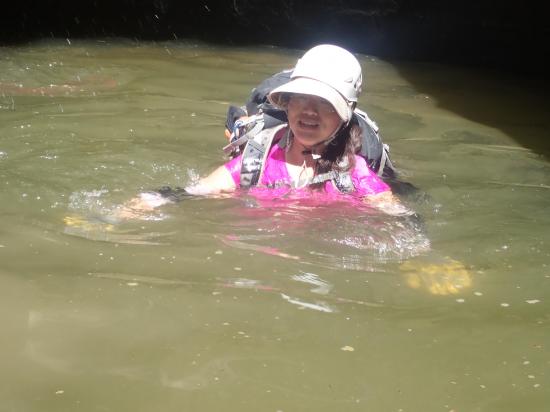
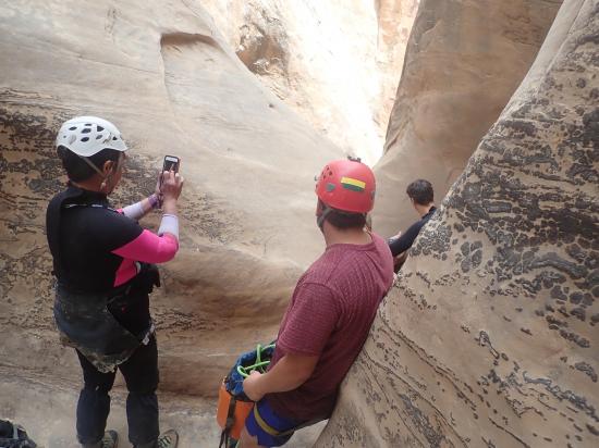
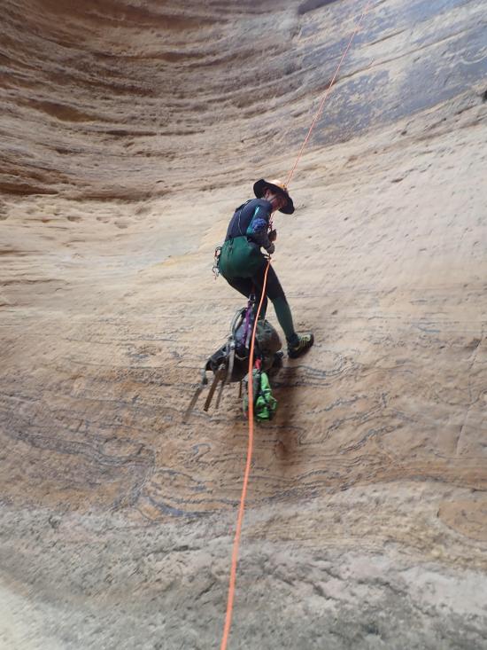
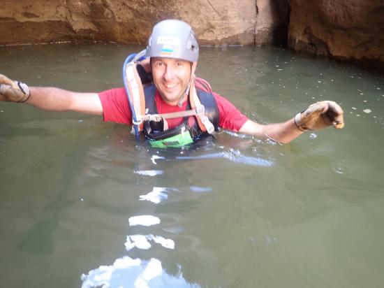
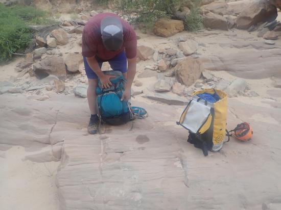
Gear: Standard canyoneering gear. Pothole escape gear. A wetsuit is recommended. Bring a dry bag for anything you don't want wet.
Fees: None
Recommended Ages:
 | 0-3 |
 | 4-11 |
 | 12-19 |
 | 20-49 |
 | 50-69 |
 | 70+ |
Recommended Months to Visit:
| Jan |
| Feb |
| Mar |
| Apr |
| May |
| Jun |
| Jul |
| Aug |
| Sep |
| Oct |
| Nov |
| Dec |
Links: https://www.roadtripryan.com/go/t/utah/san-rafael-swell/squeezecanyonhttp://ropewiki.com/The_Squeeze
Navigate to 38.566505, -110.959171.
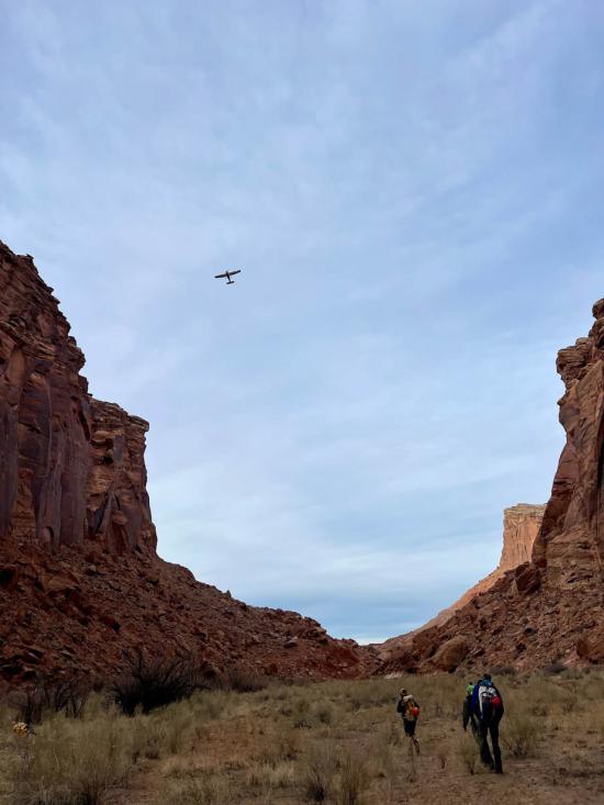
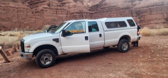
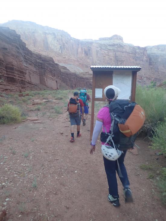
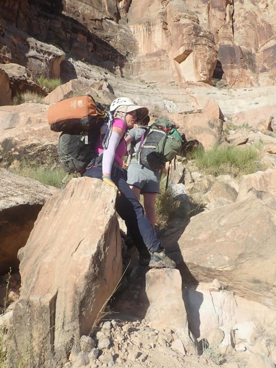
Road access is via many miles of dirt roads that are not shown on some GPS units. Make sure you have offline directions as cell coverage is non-existant in the region.
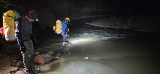
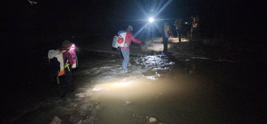
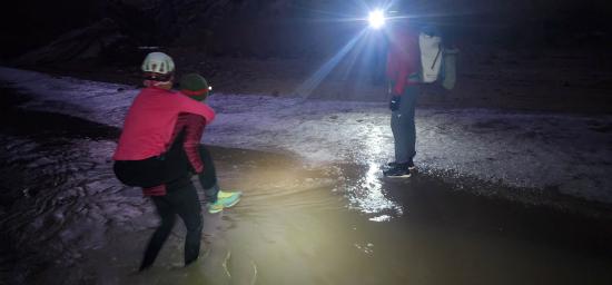
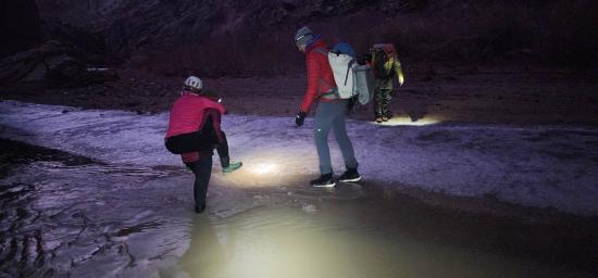
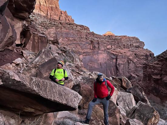
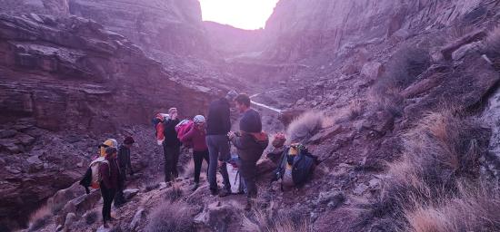
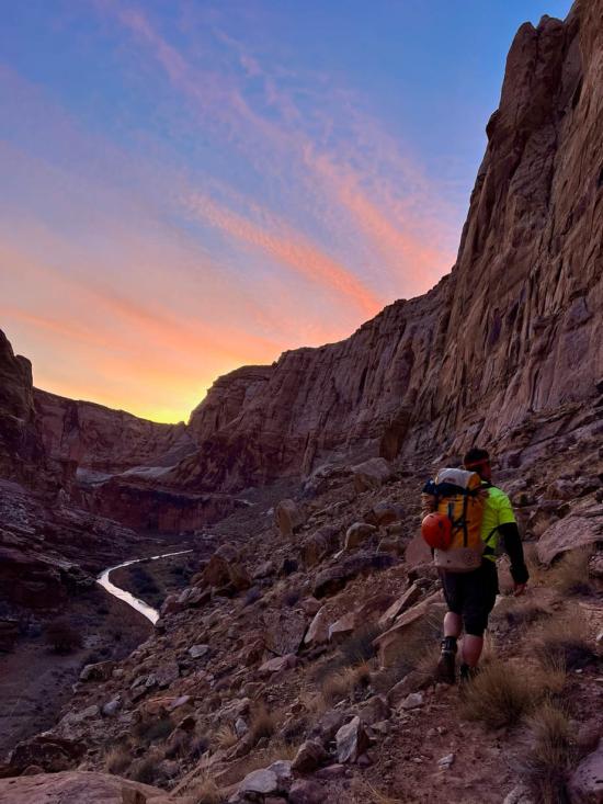
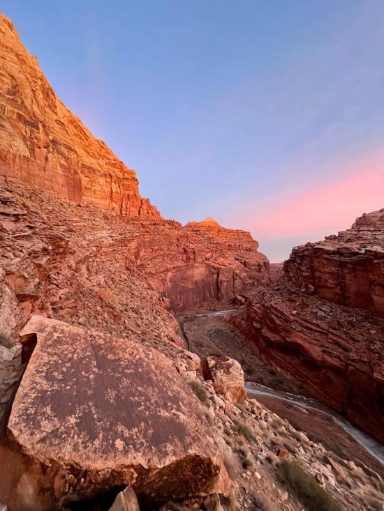
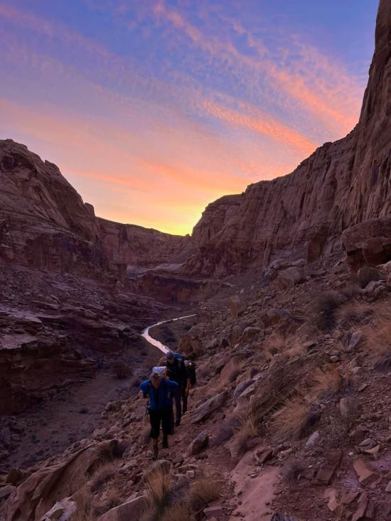
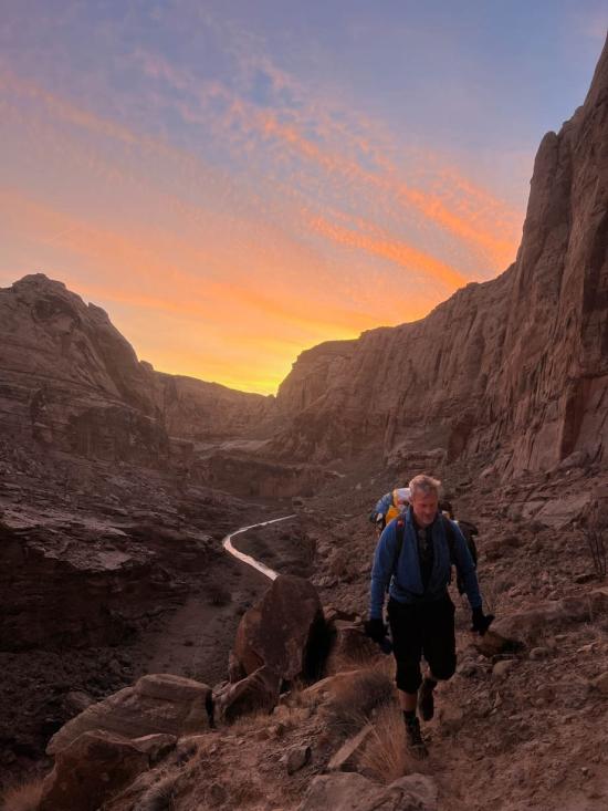
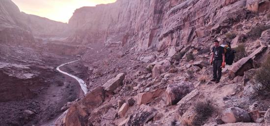
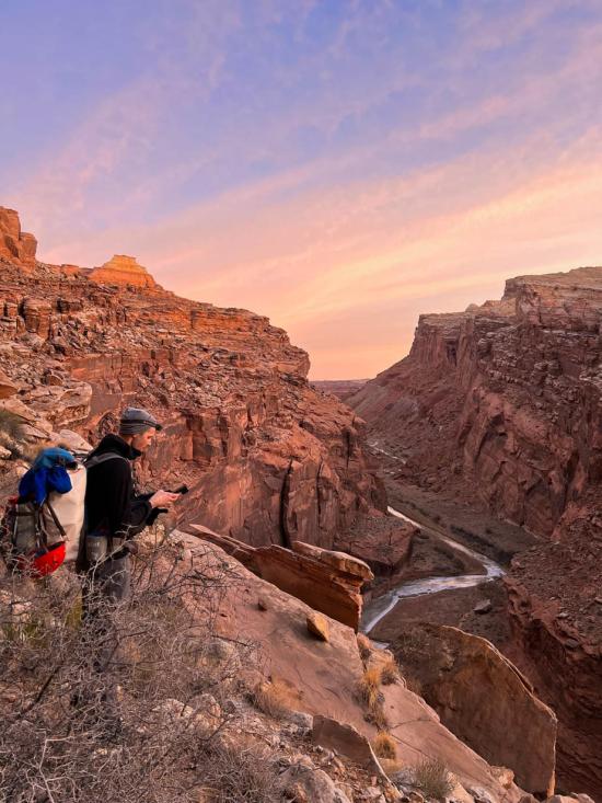
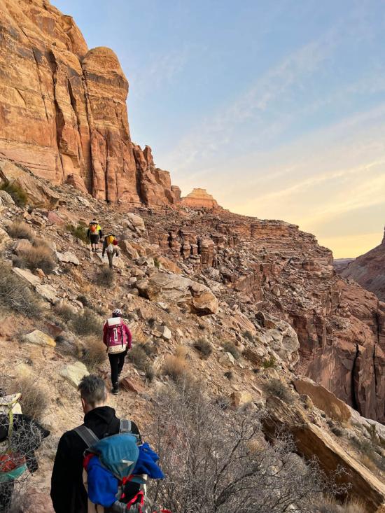
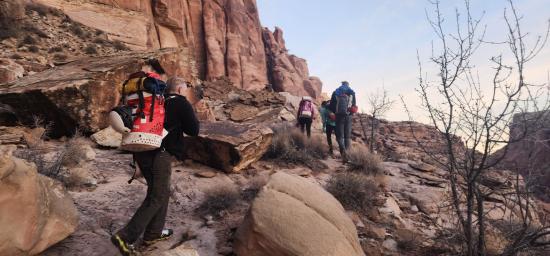
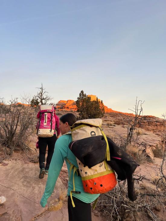
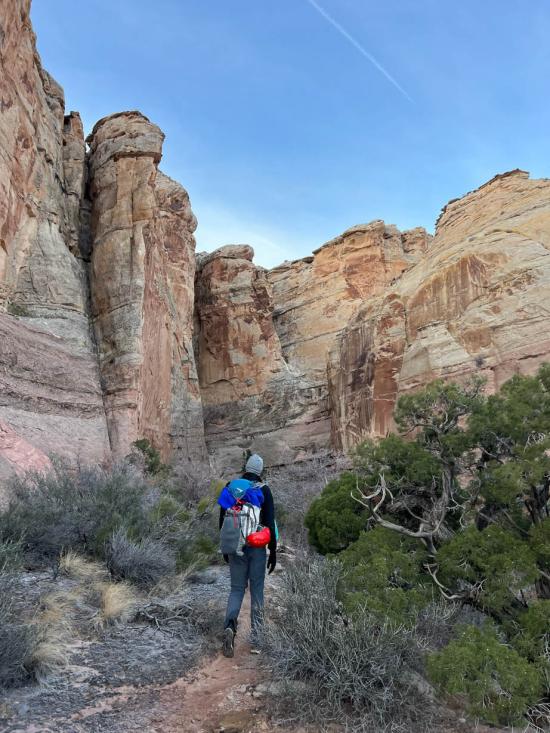
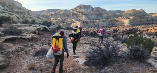
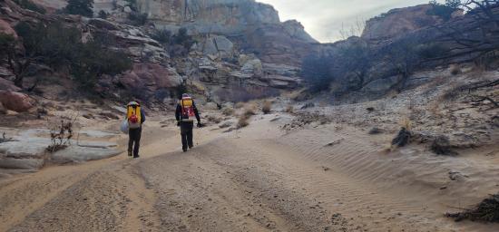
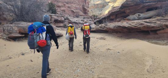
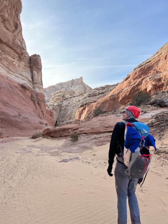
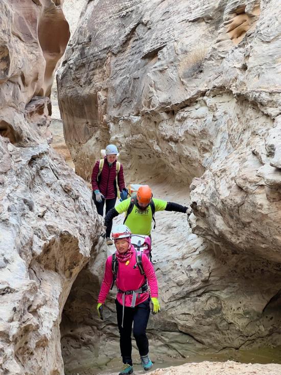
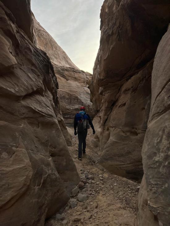
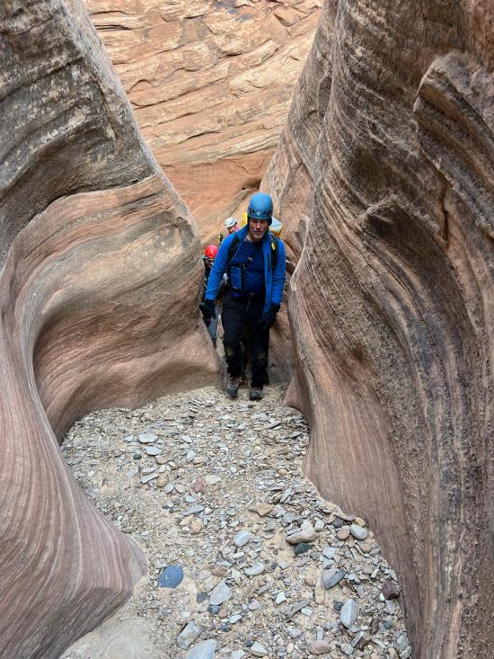
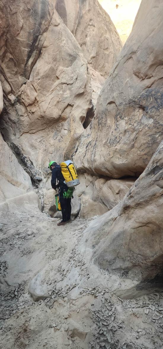
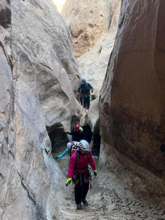
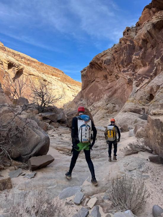
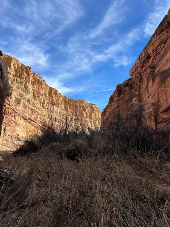
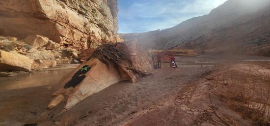
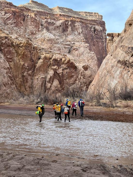
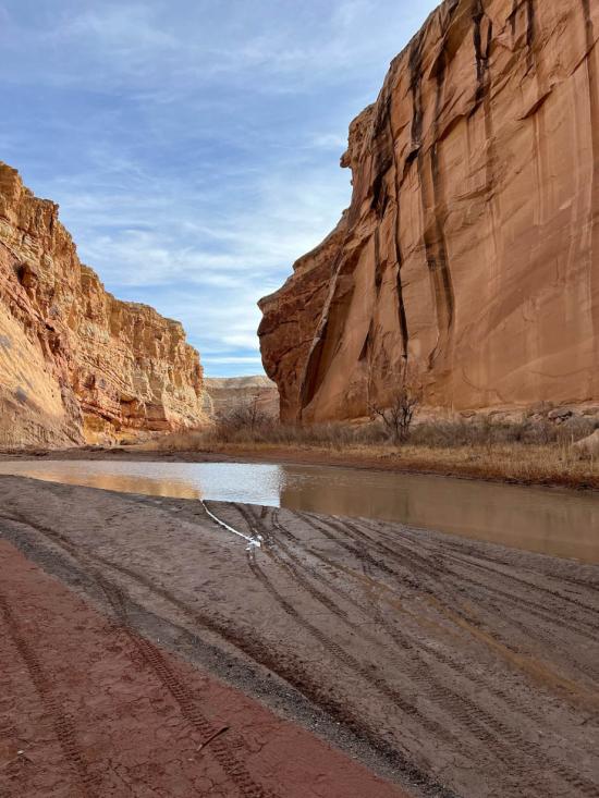
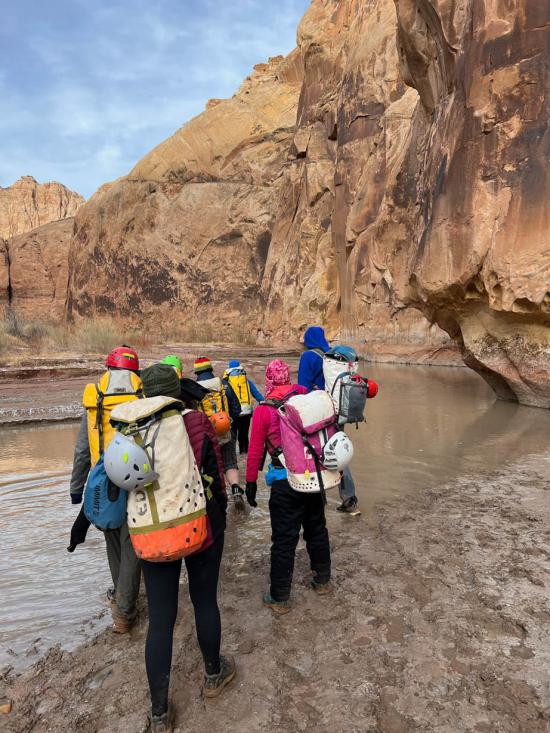
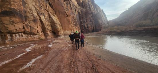
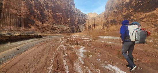
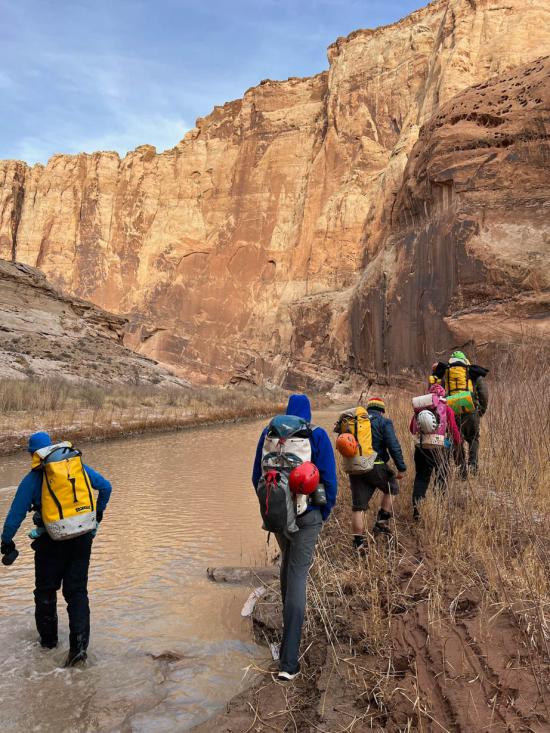
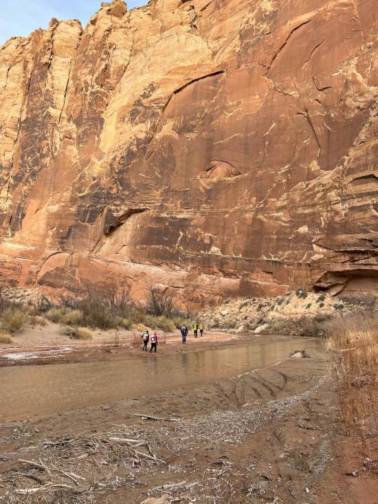
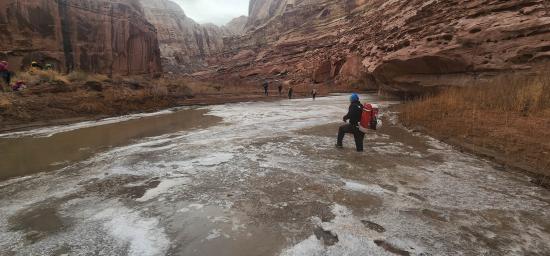
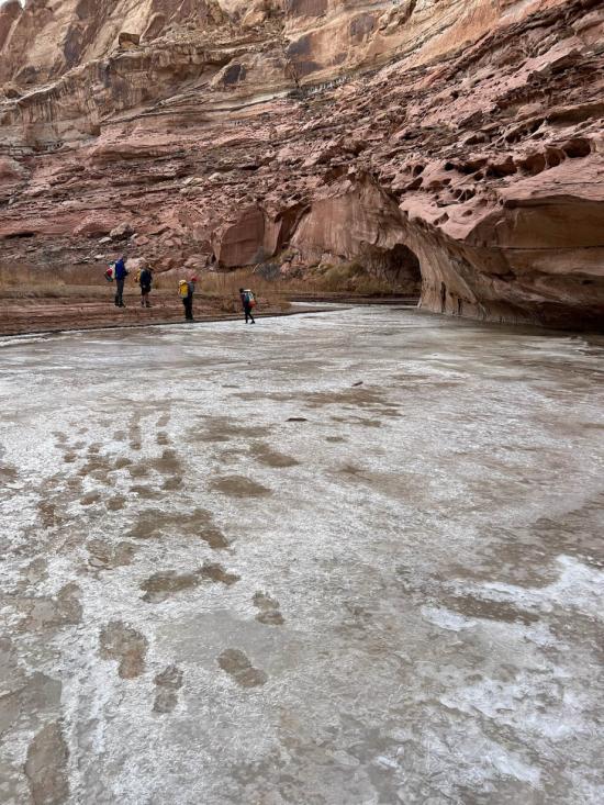
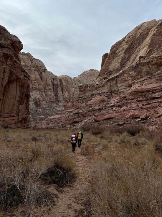
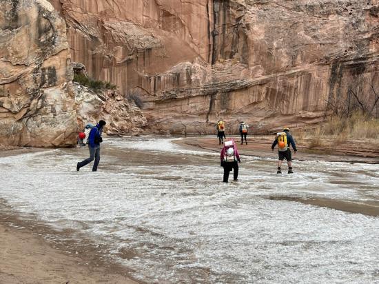
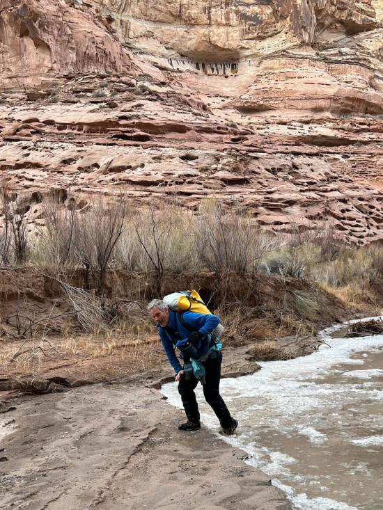
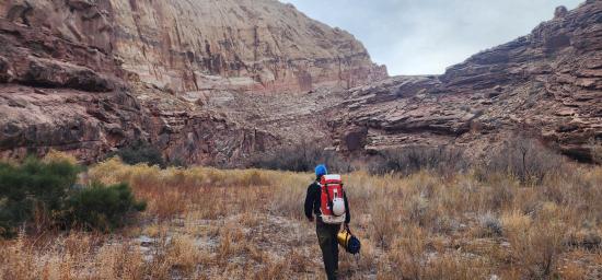
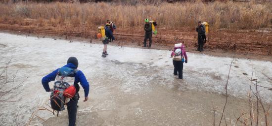
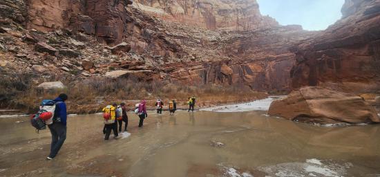
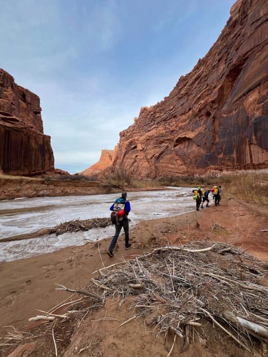
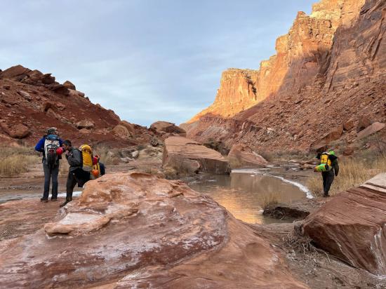
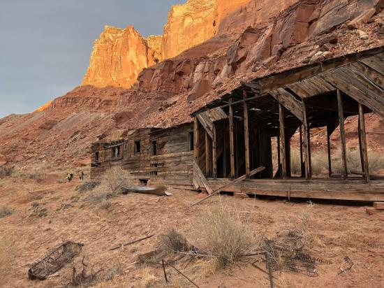
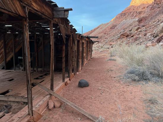
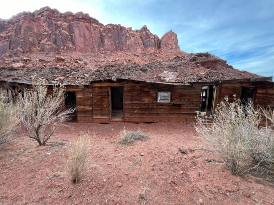
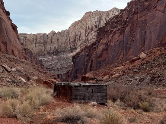
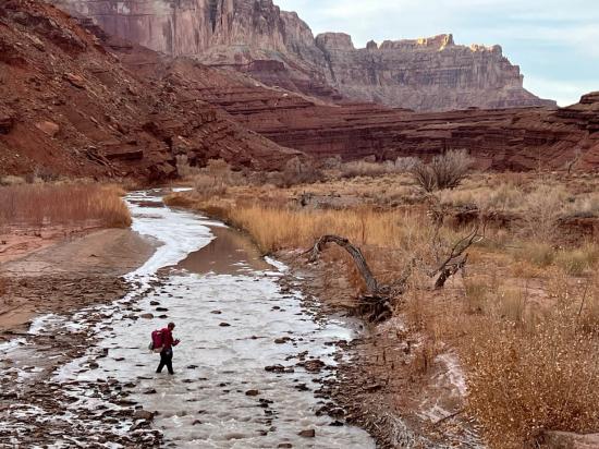
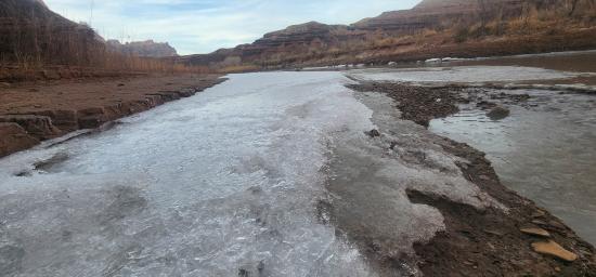
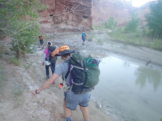
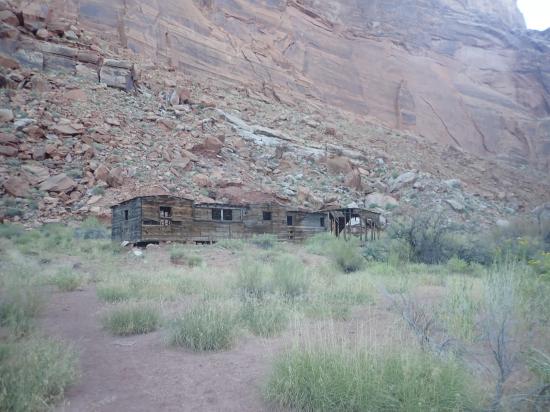
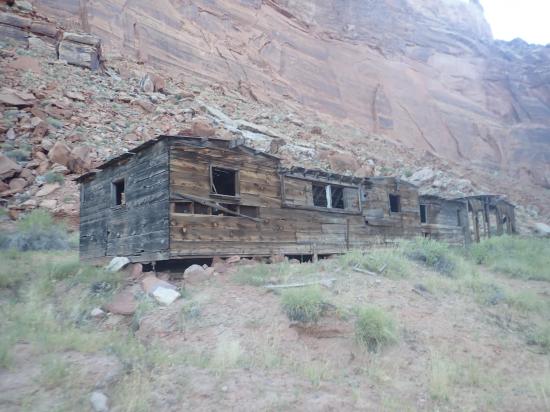
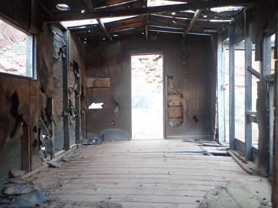
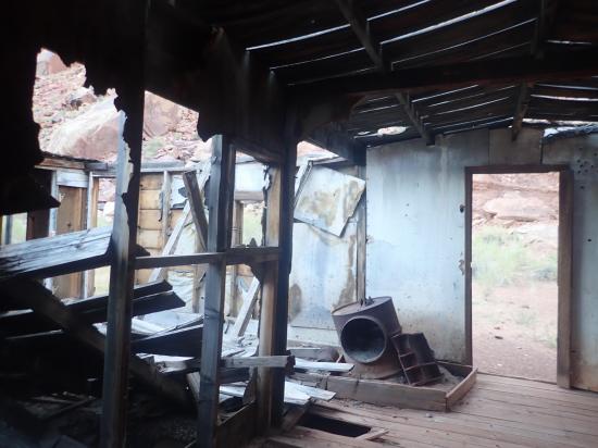
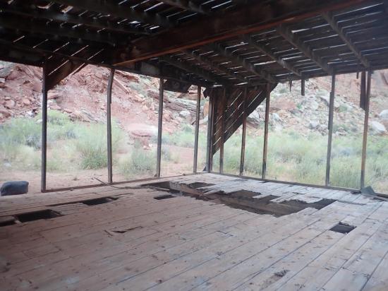
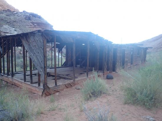
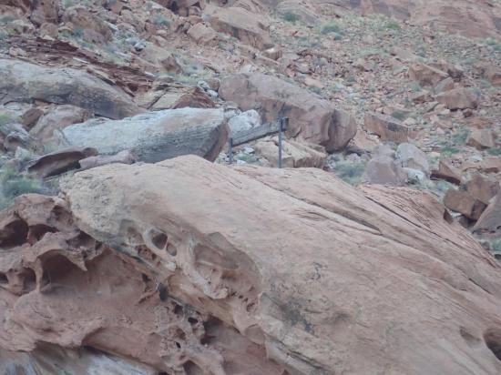
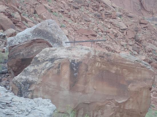
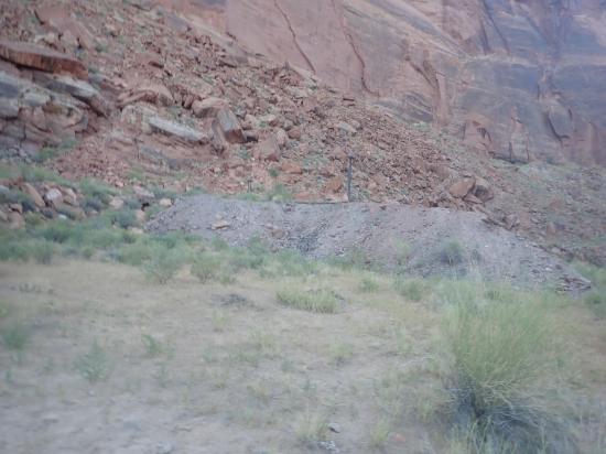
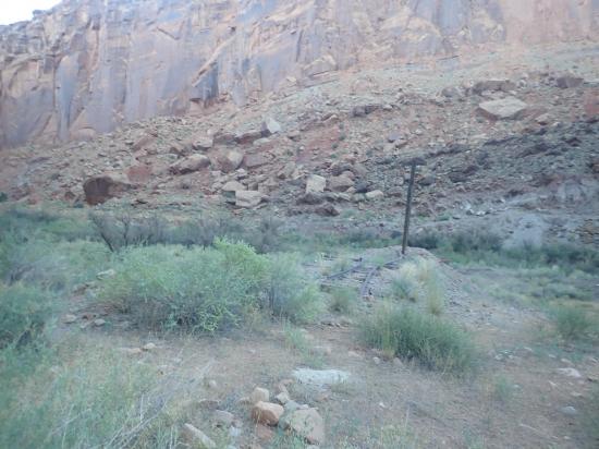
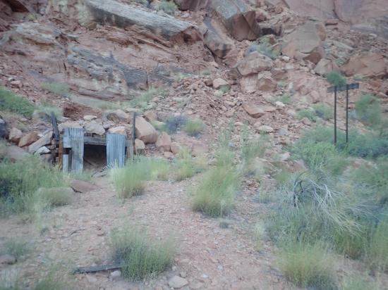
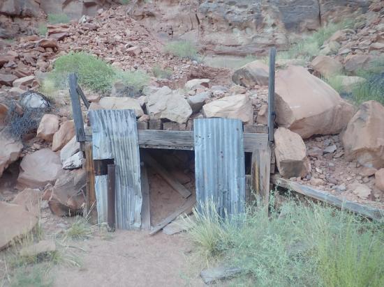
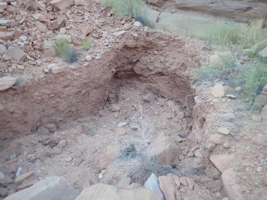
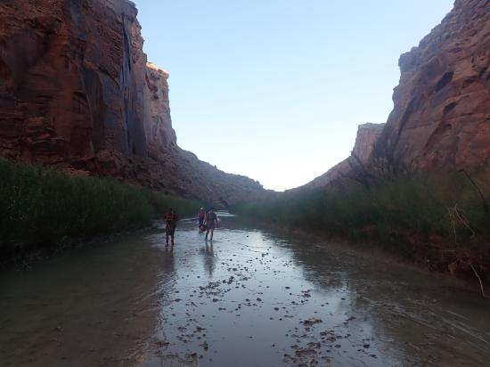
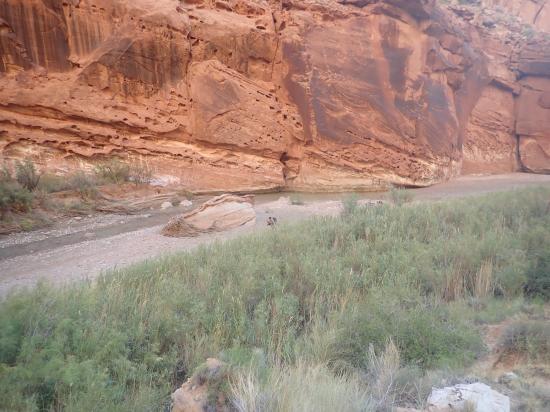
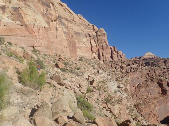
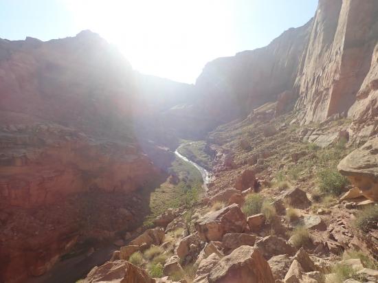
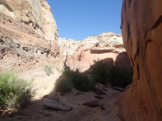
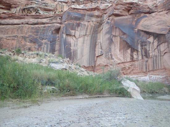
From the Hidden Splendor Trailhead, follow Muddy Creek down river (south). Most of the way, you can walk on old roads or social trails, but there are a number of river crossings as well. Along the way you'll see an old bunkhouse and several mining adits as well as mine tailings, some old equipment, and an old car.
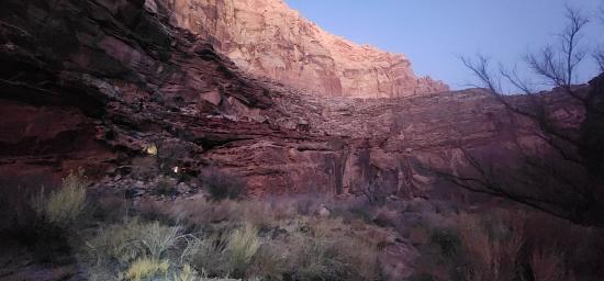
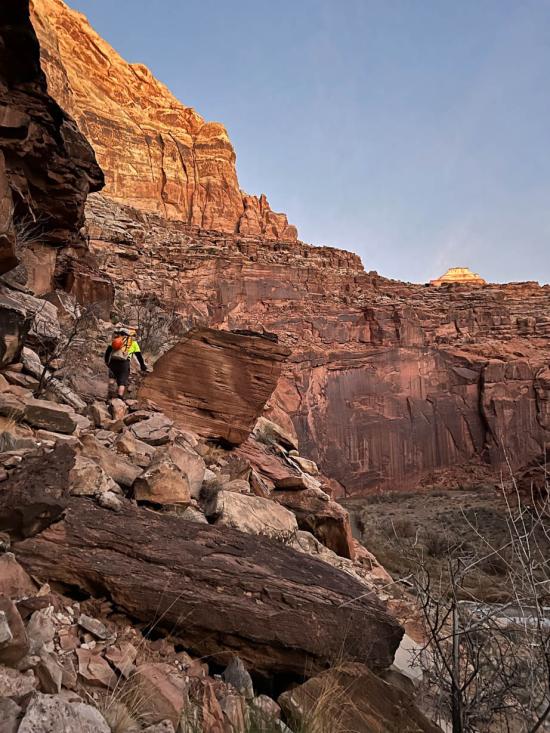
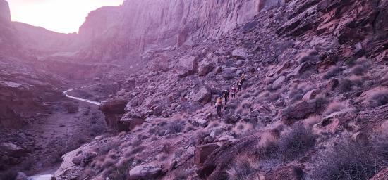
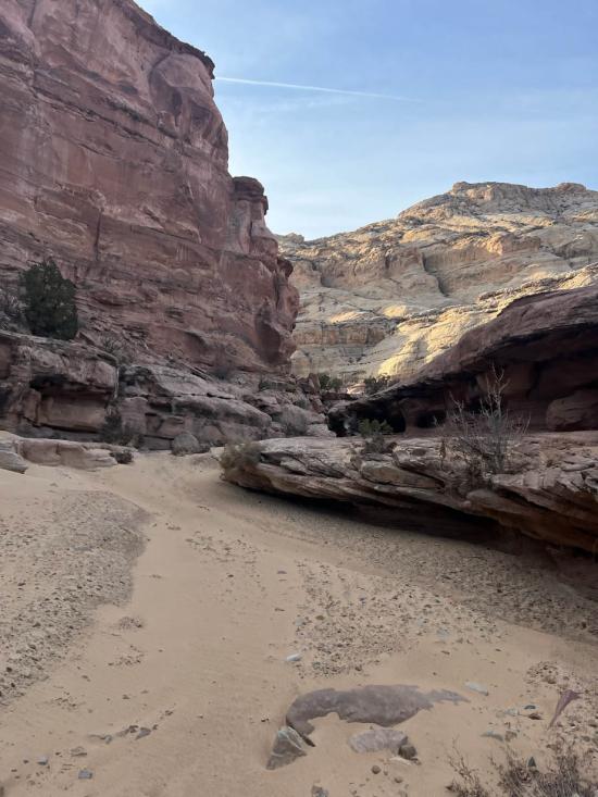
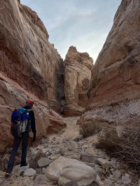
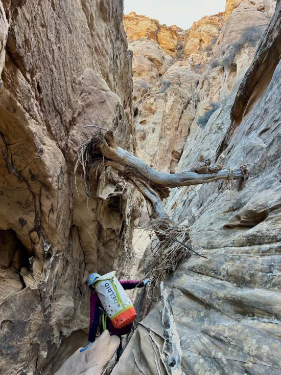
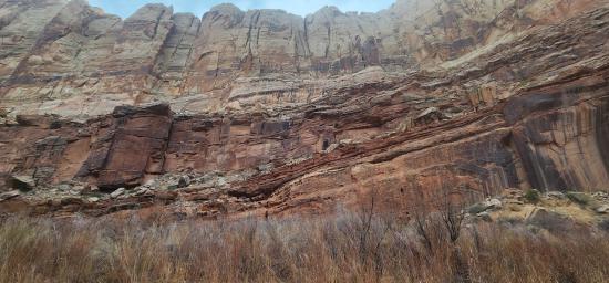
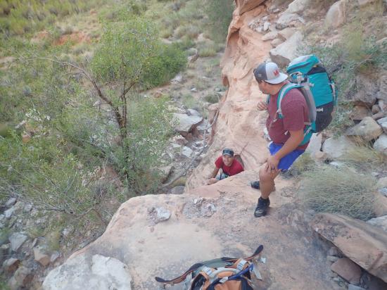
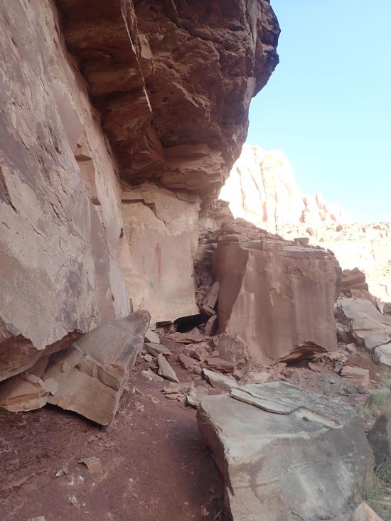
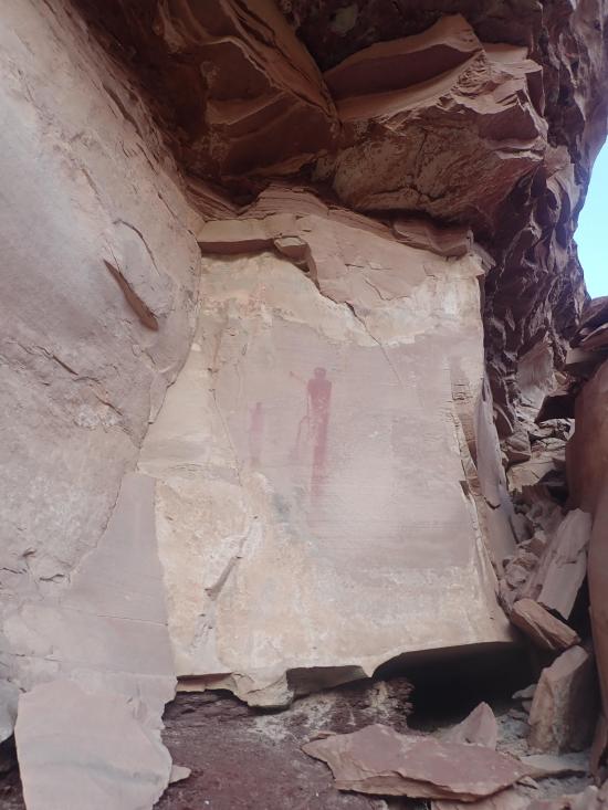
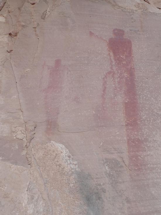
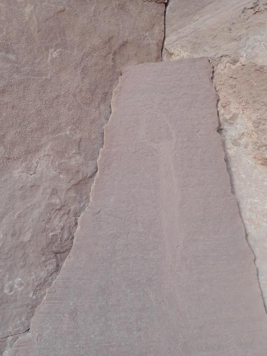
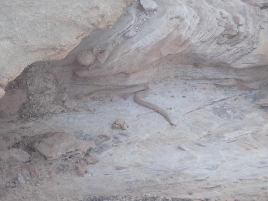
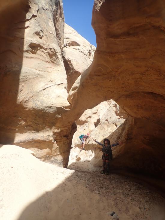
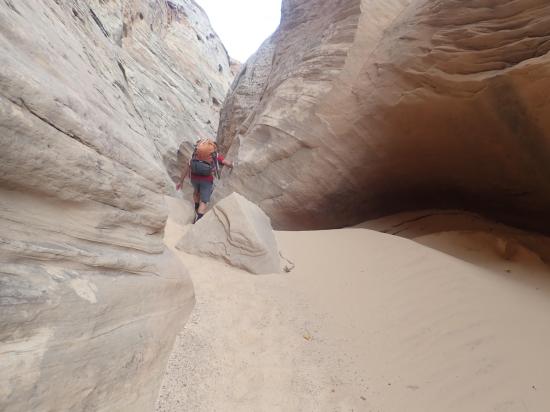
After about 1.8 miles, leave the river course and hike up the west bank to a break in the cliffs. This requires some easy 4th class scrambling in a couple spots. Follow the social trails up through the different levels of cliffs. Keep your eye out for a pictograph panel with a couple of adjacent petroglyphs.
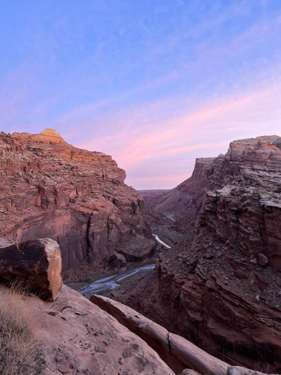
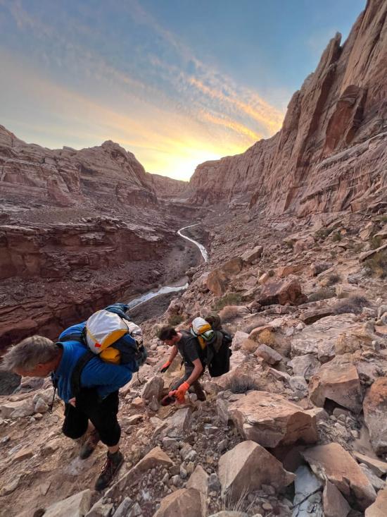
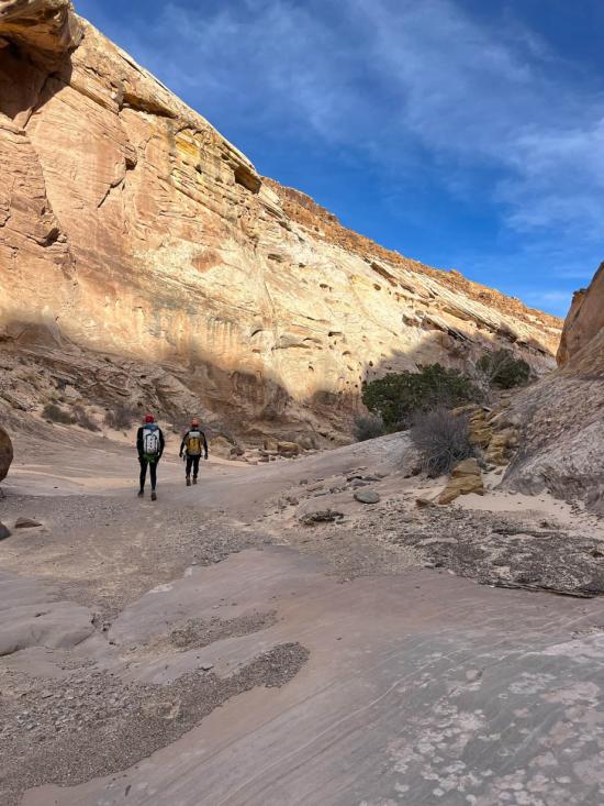
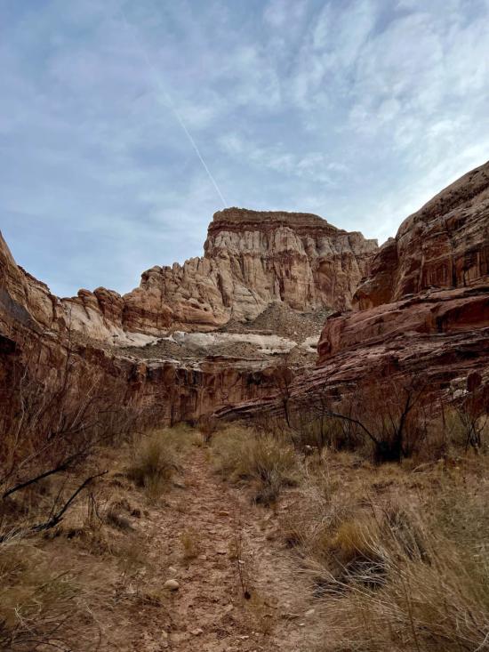
Once you get to the base of the Navajo Sandstone layer, circle around the Navajo cliffs in a counter-clockwise direction (north then west then south) until you drop into a shallow drainage on the backside (west) of the peak.Once you're in the drainage, keep heading downhill.
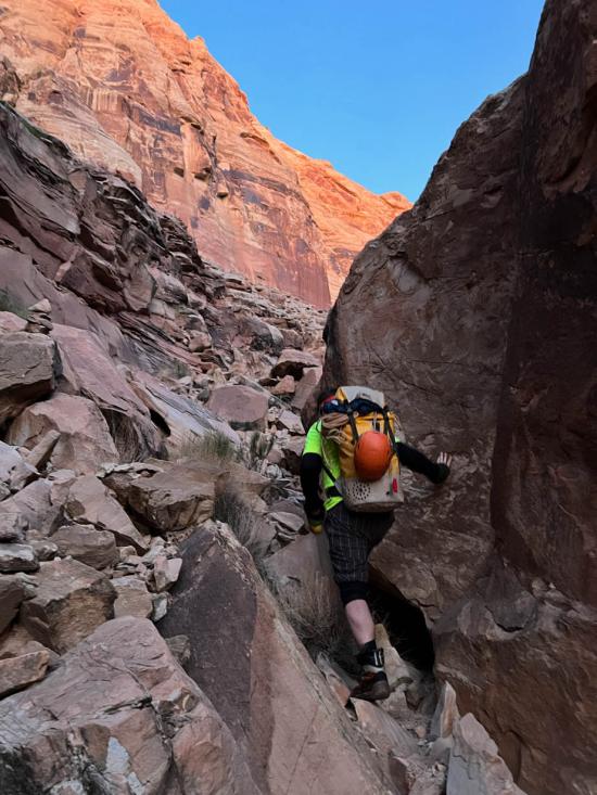
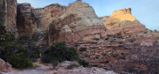
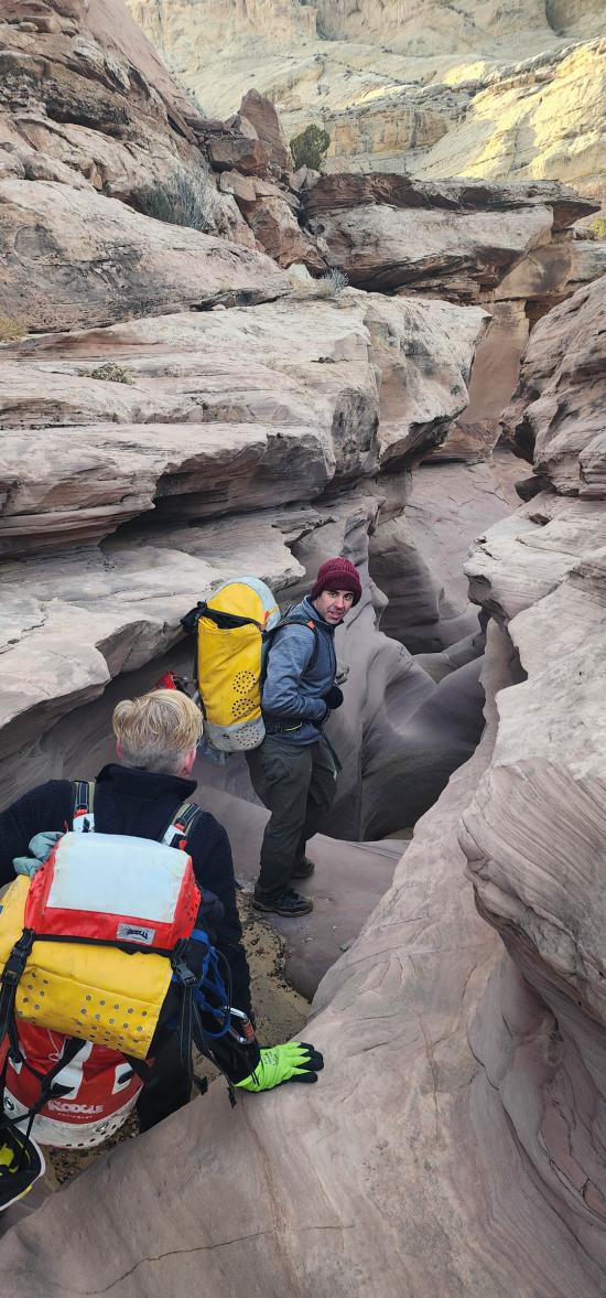
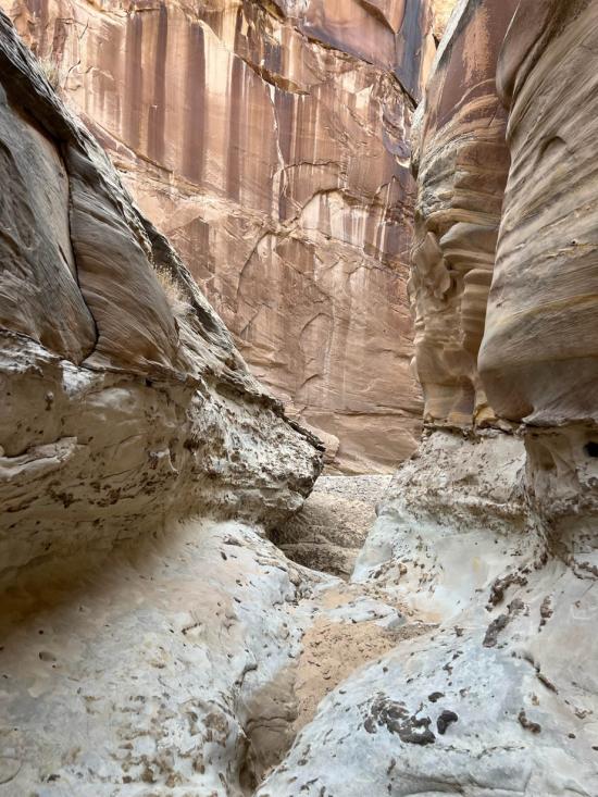
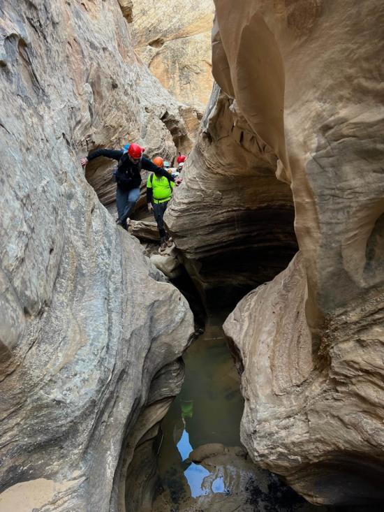
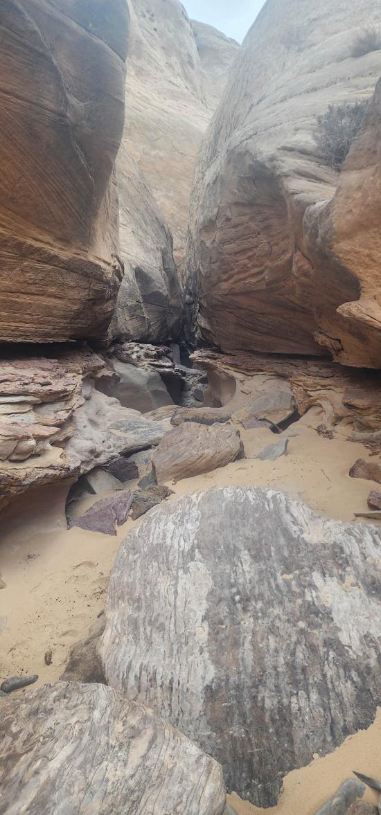
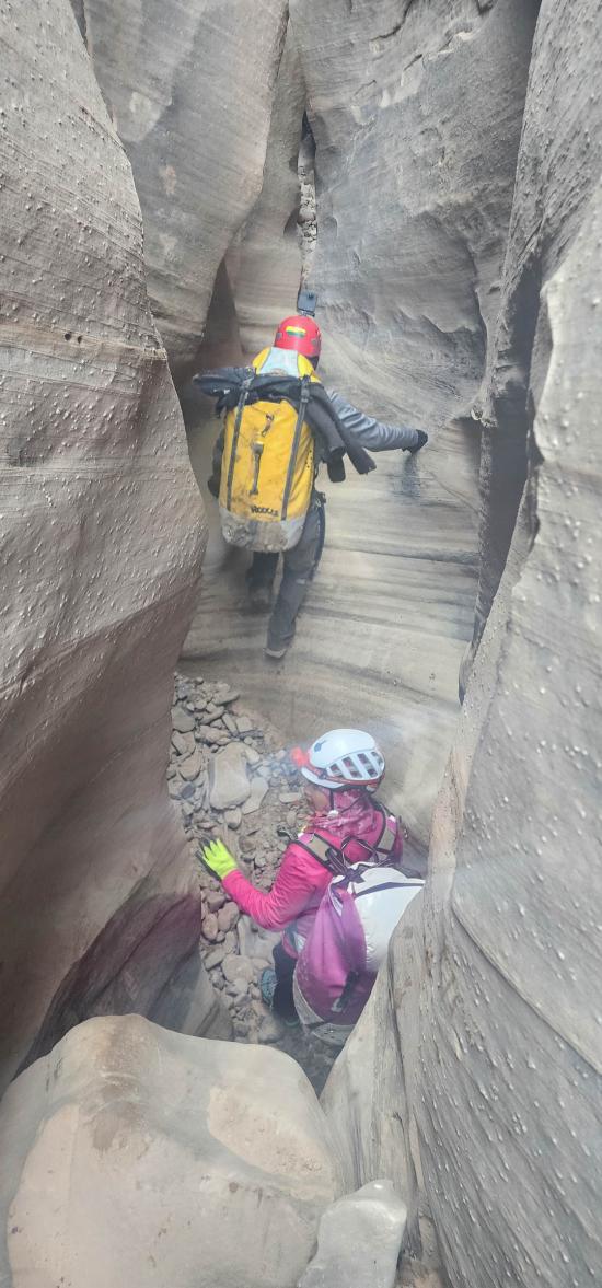
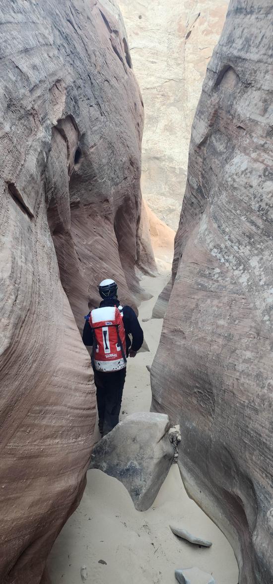
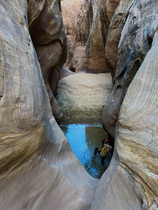
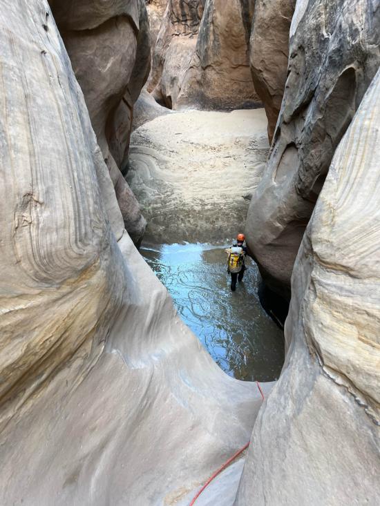
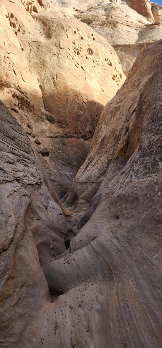
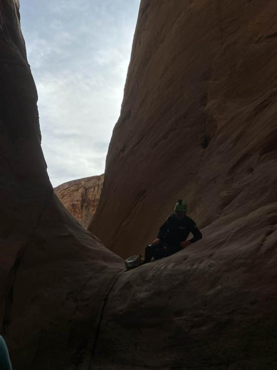
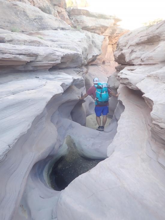
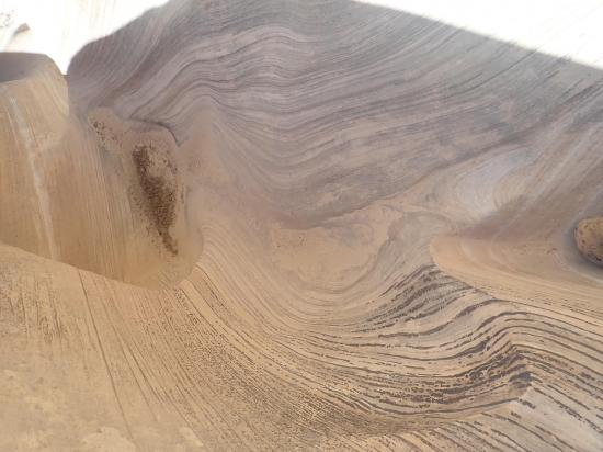
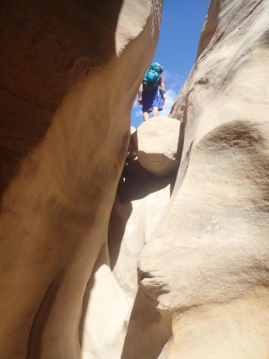
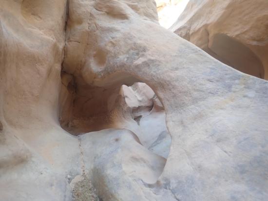
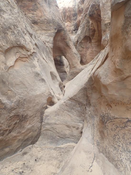
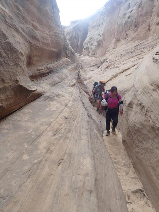
There is a short section of narrows with a downclimb and a couple of dry potholes. They are fun and don't take more than a couple minutes, so drop into them if you have the time.
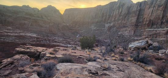
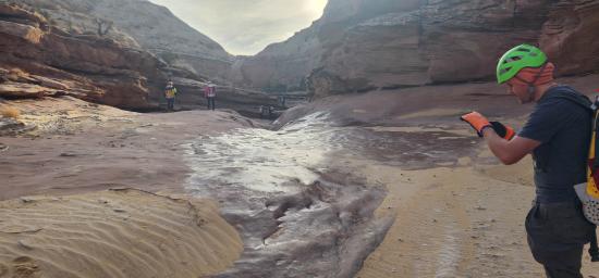
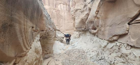
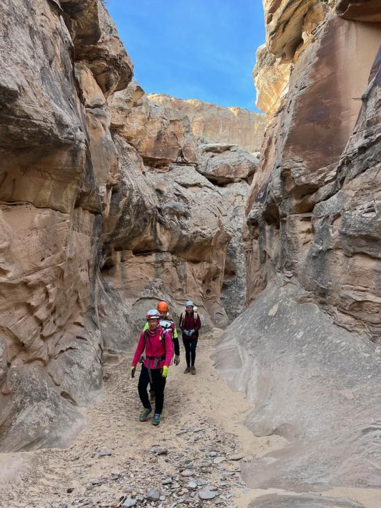
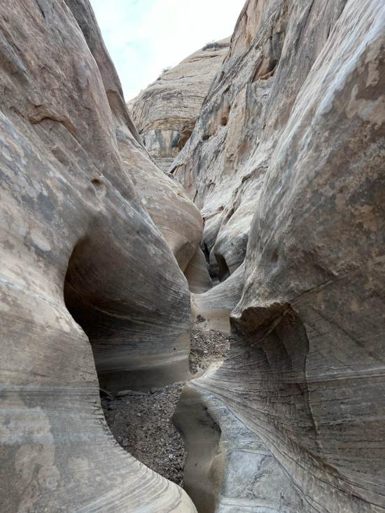
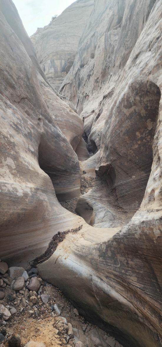
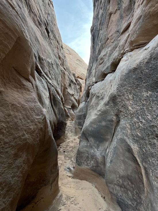
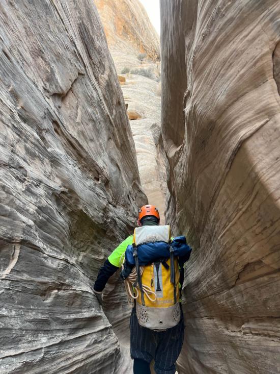
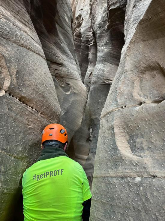
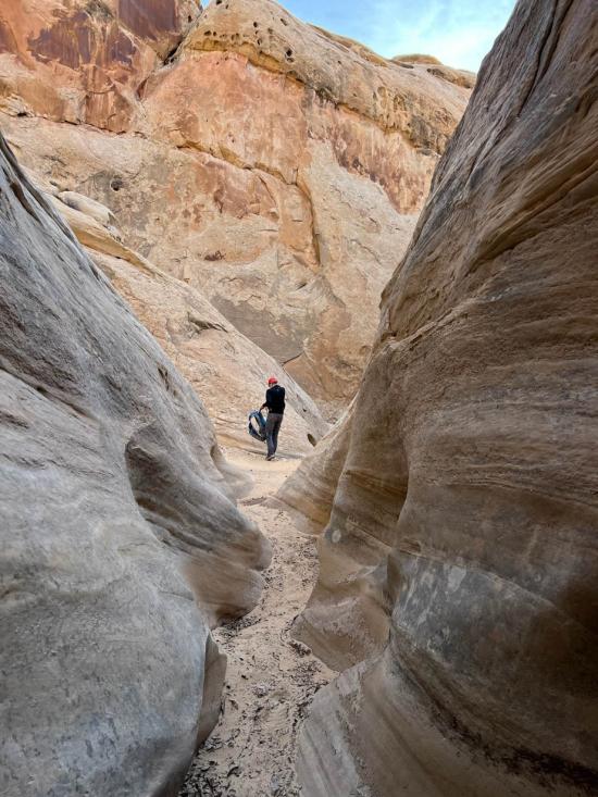
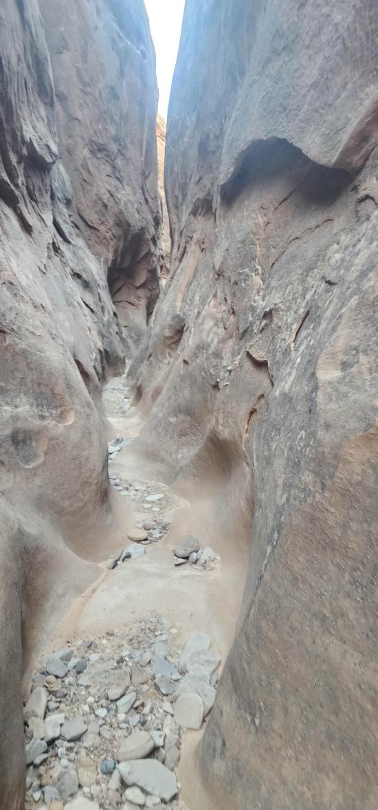
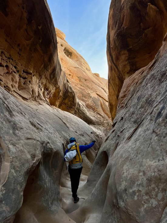
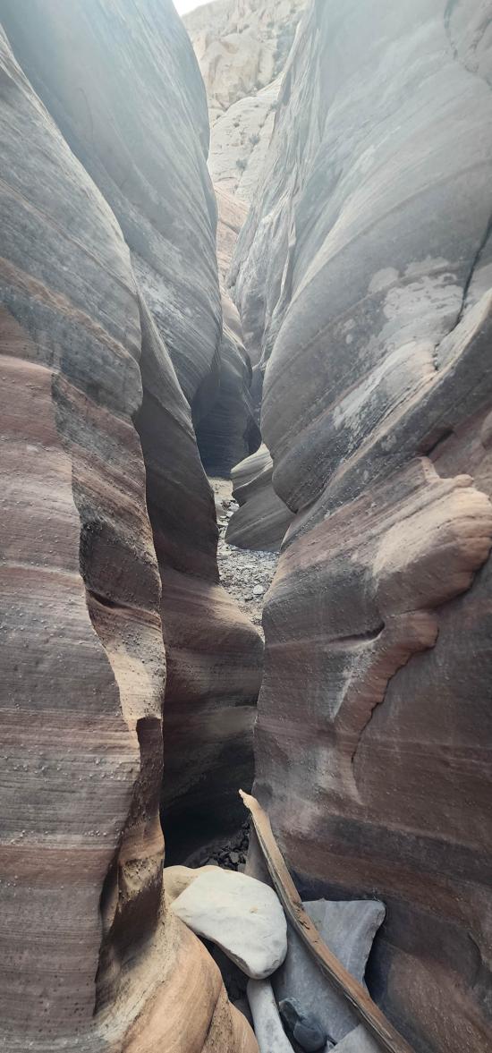
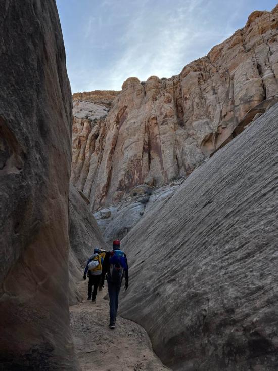
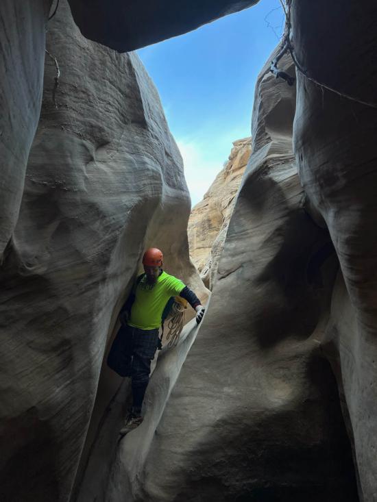
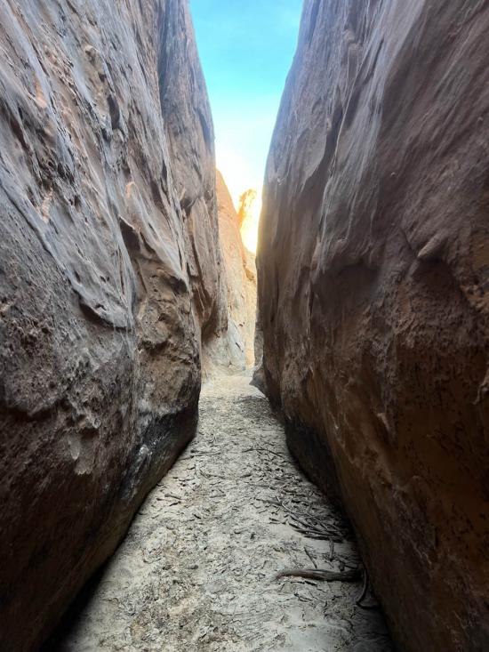
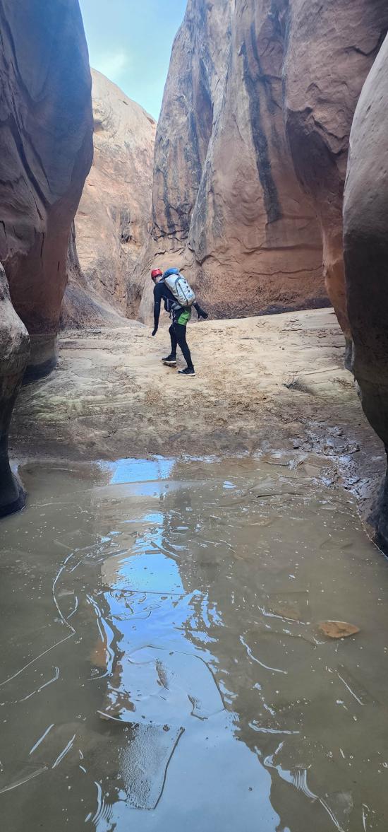
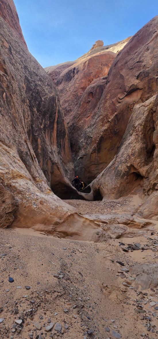
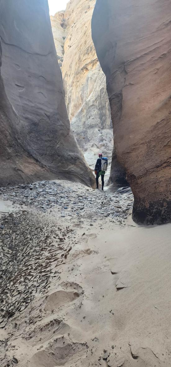
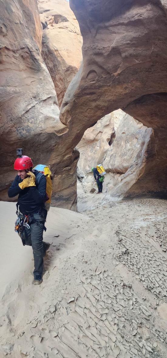
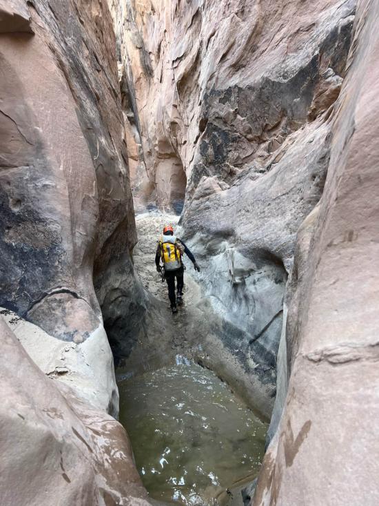
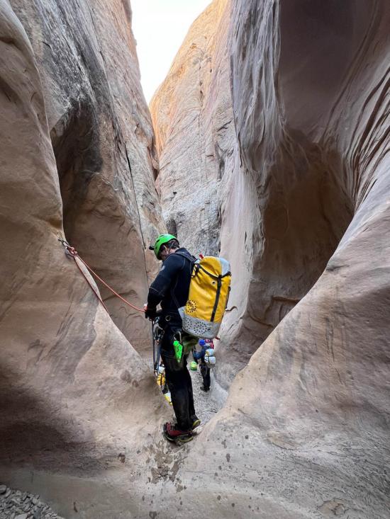
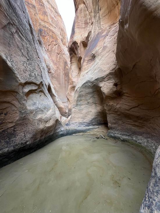
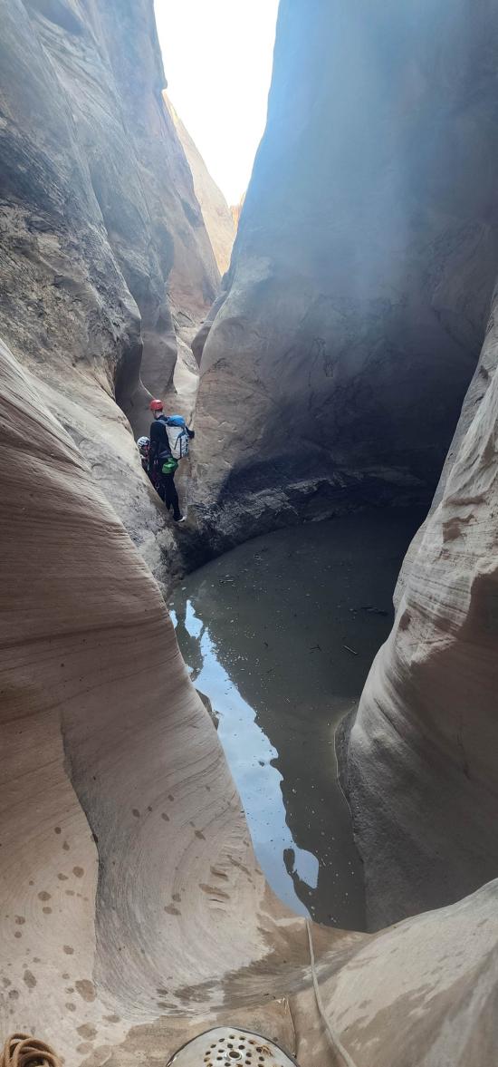
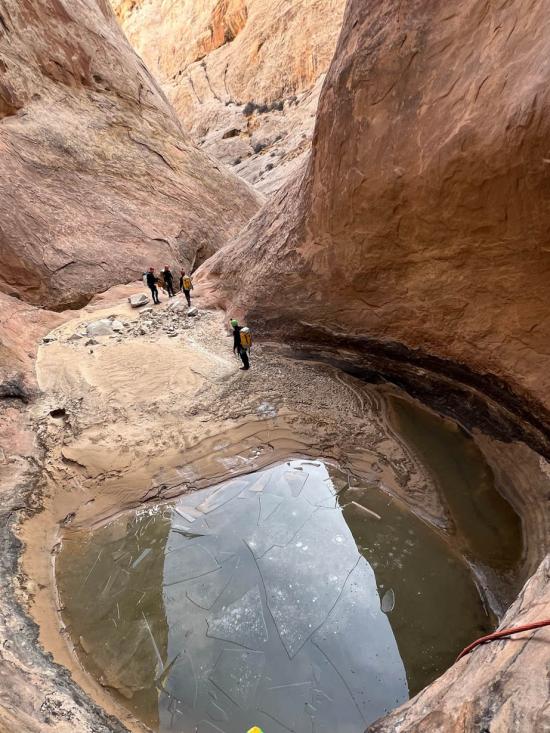
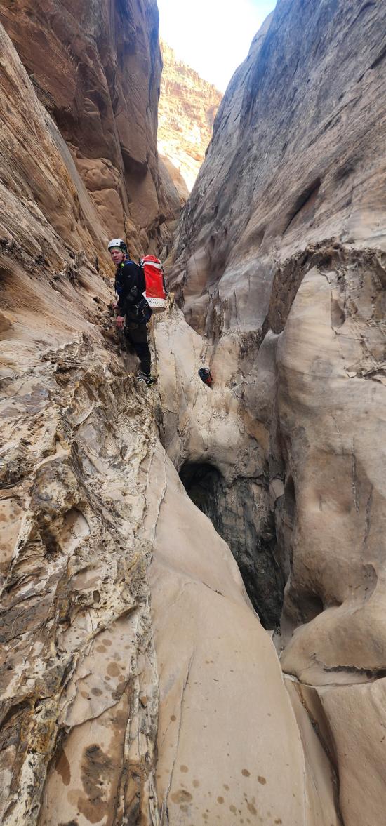
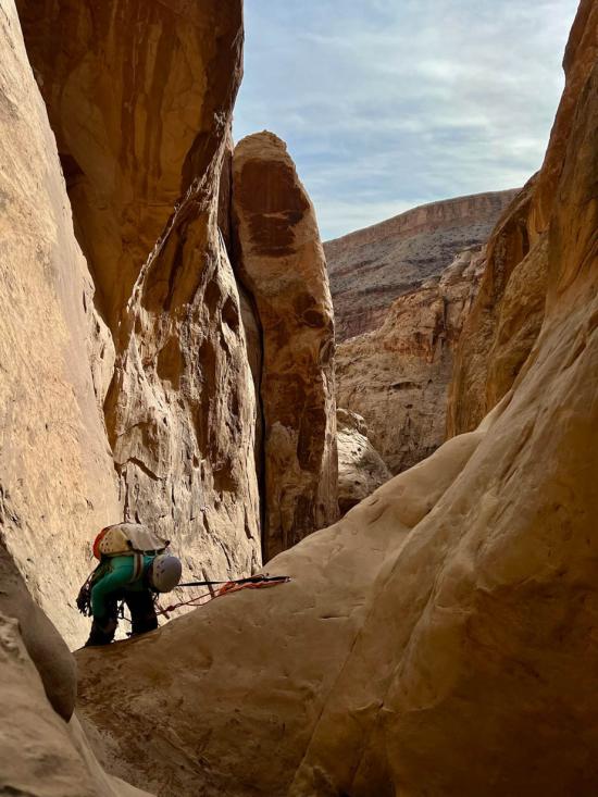
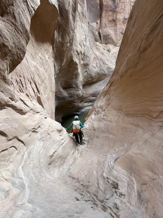
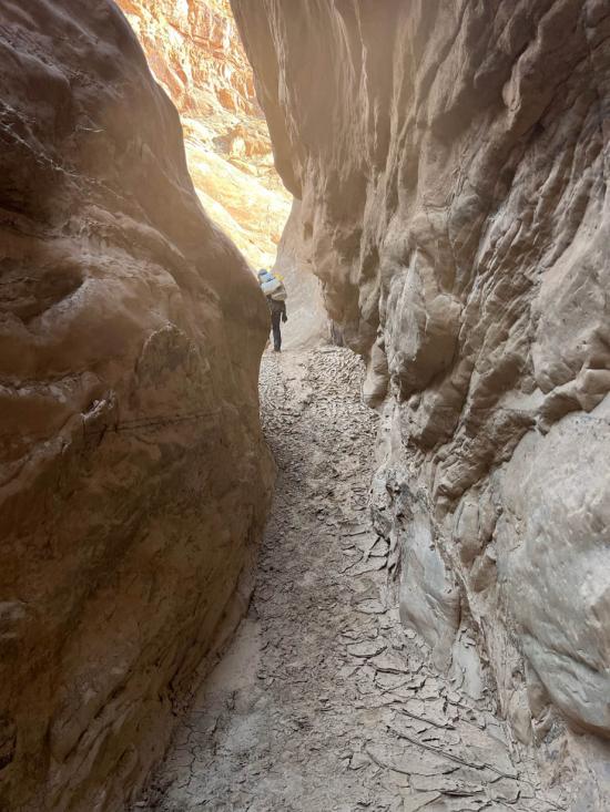
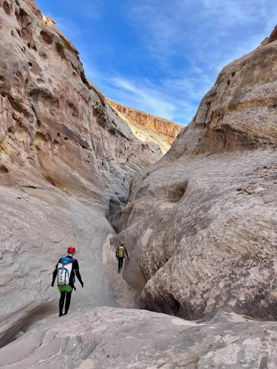
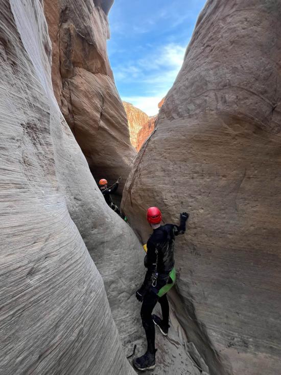
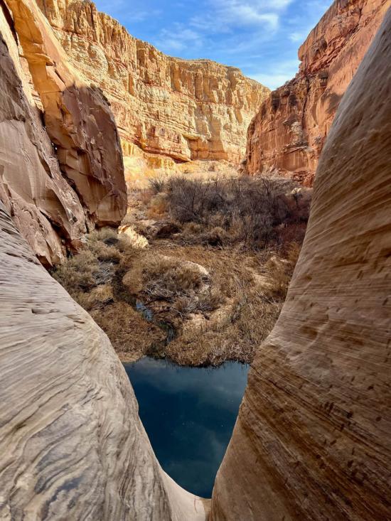
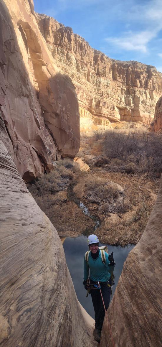
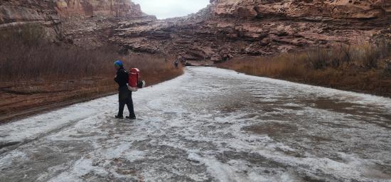
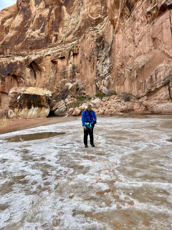
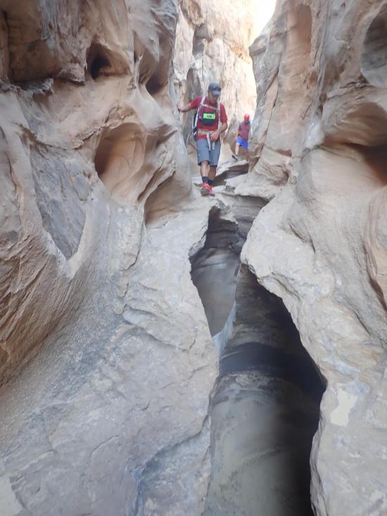
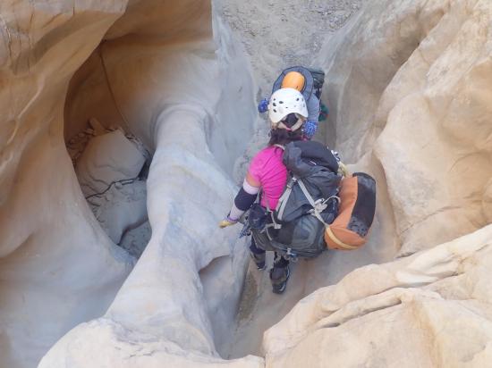
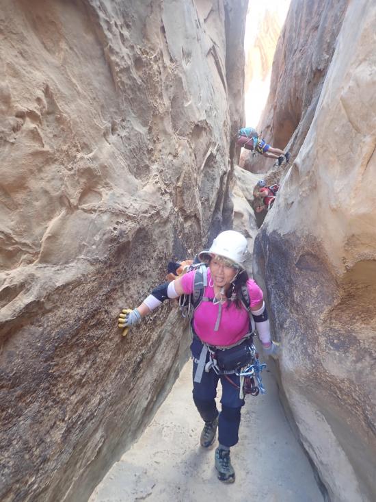
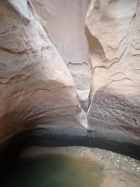
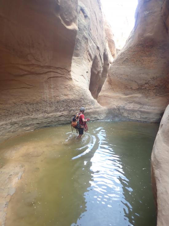
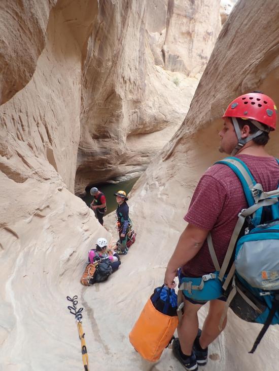
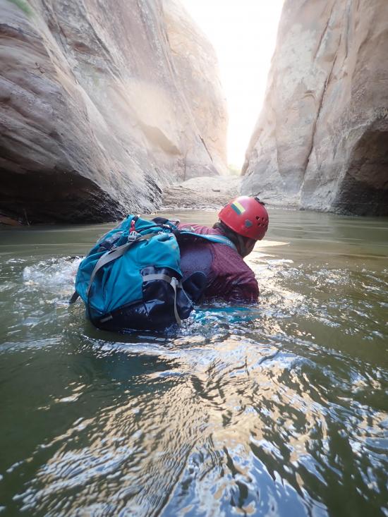
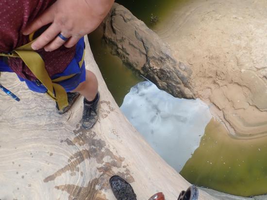
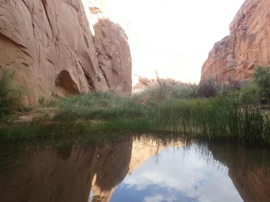
Walk down the wash for about a half mile to the start of the real narrows. This section goes pretty fast as there aren't many obstacles. It's scenic with a couple of shallow pools depending on water levels.
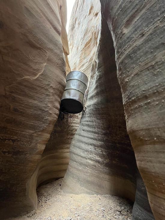
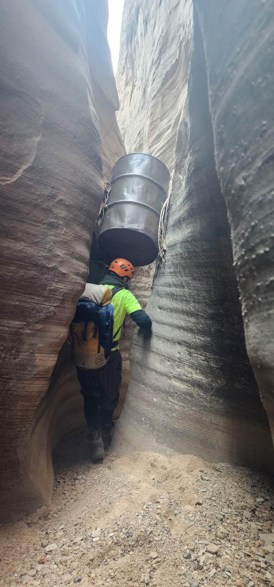
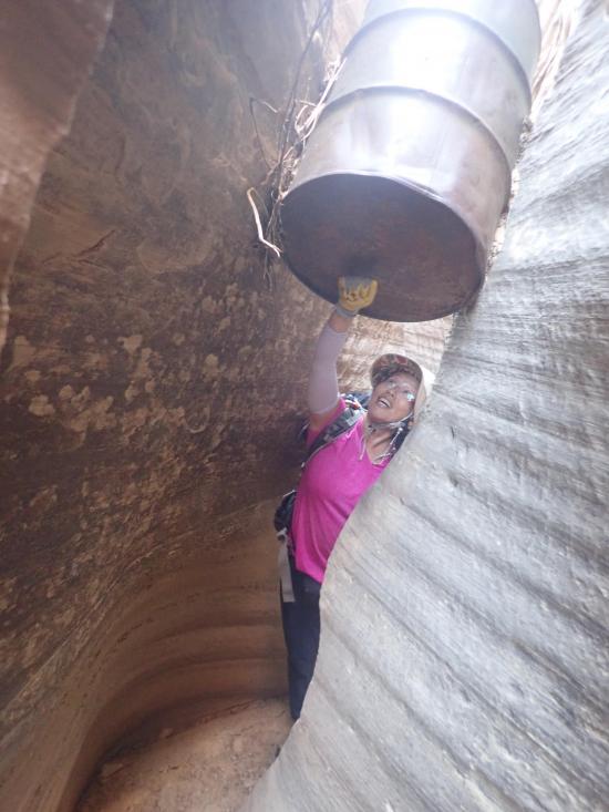
Pass a rusted metal barrel wedged between the canyon walls, and play a drum solo as you go by.
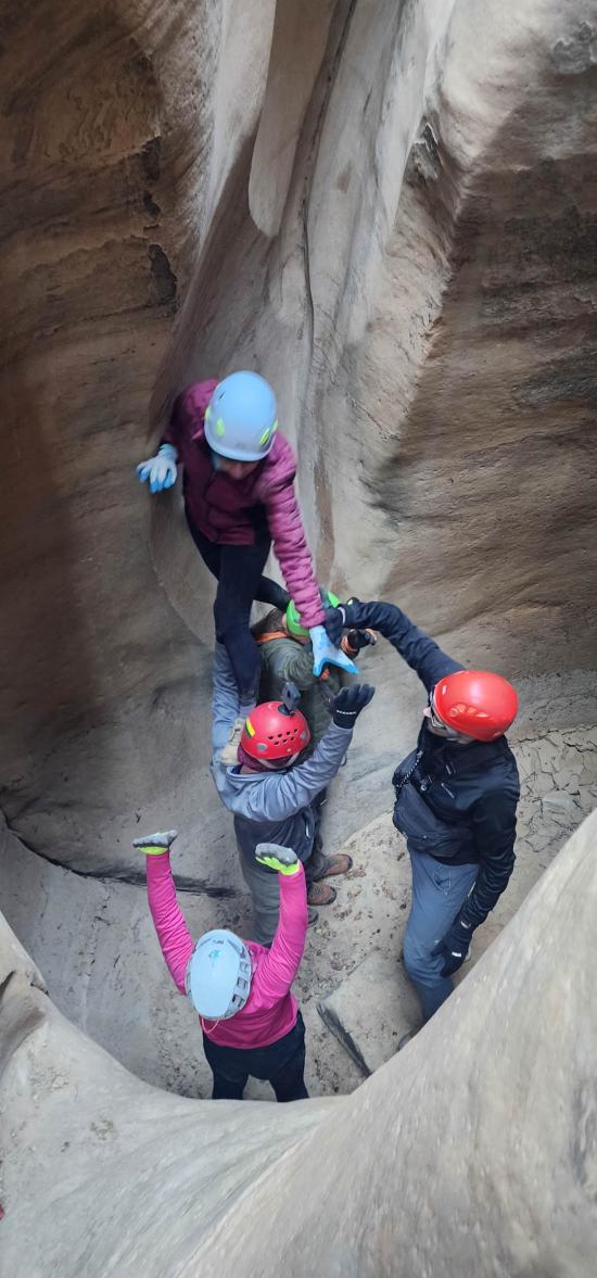
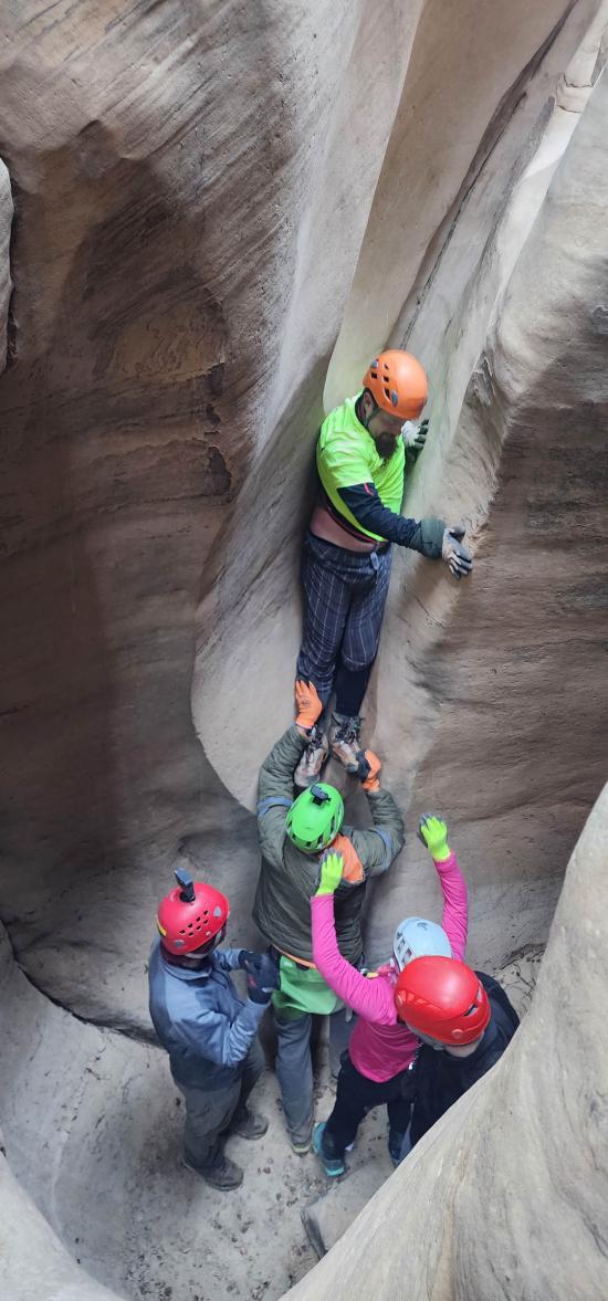
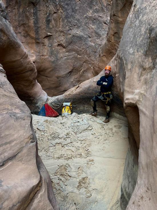
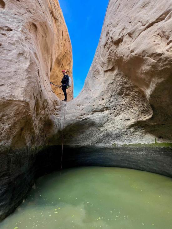
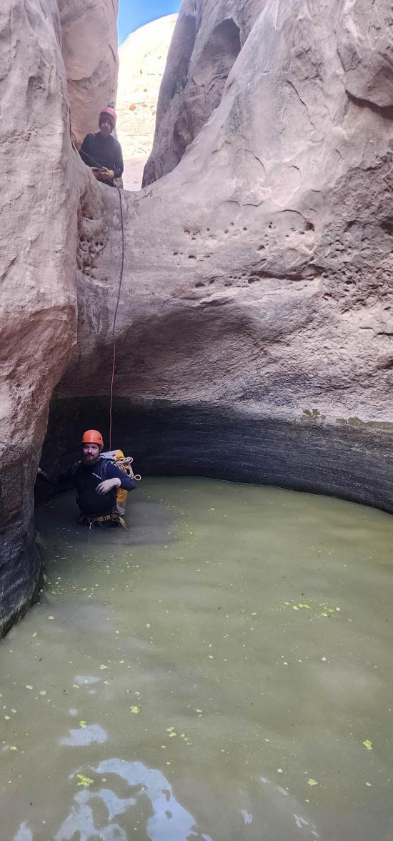
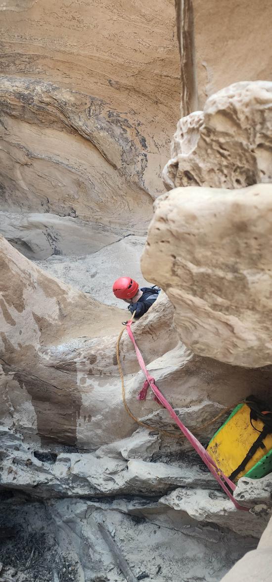
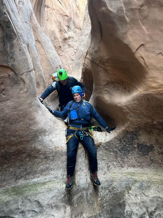
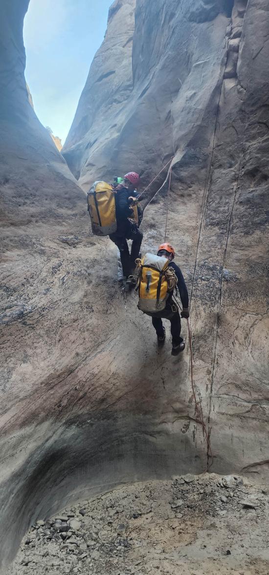
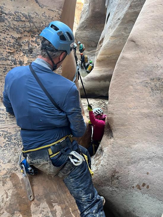
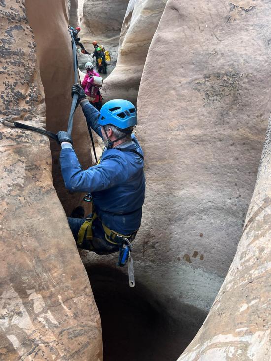
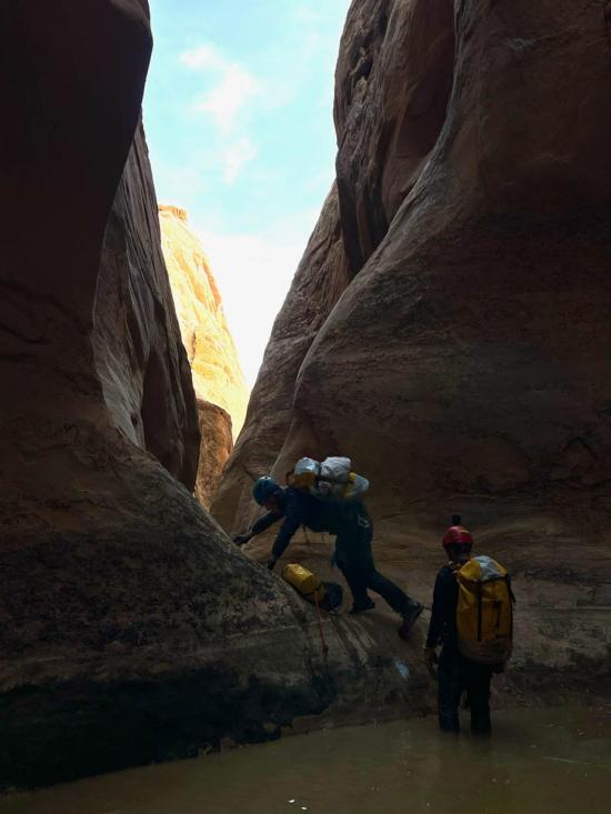
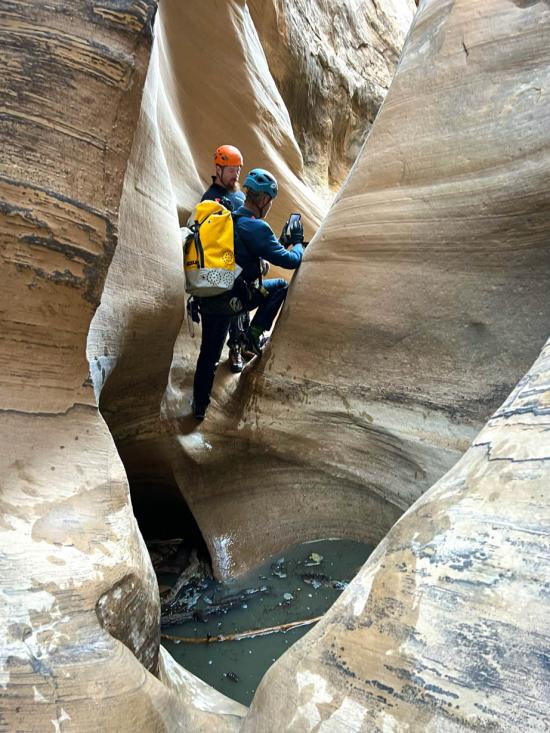
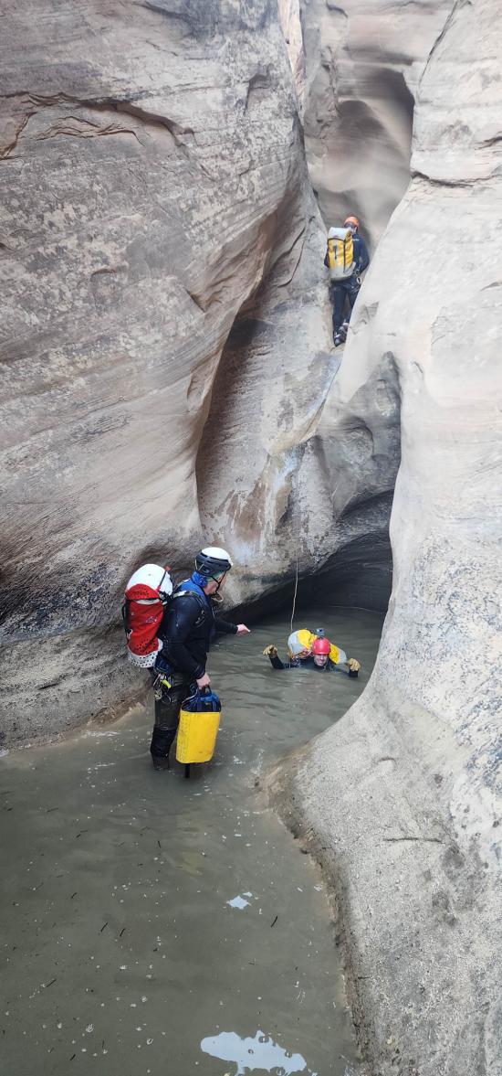
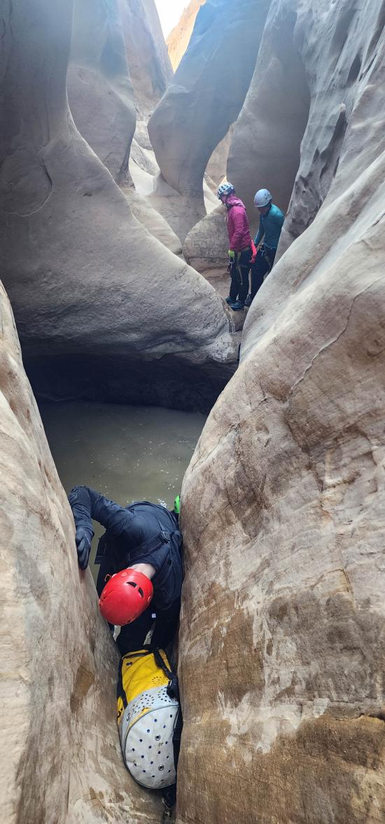
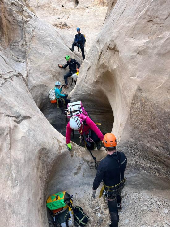
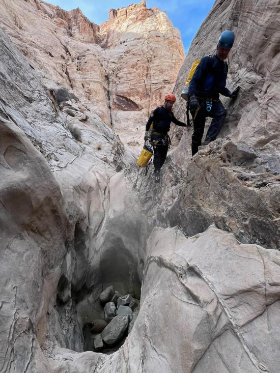
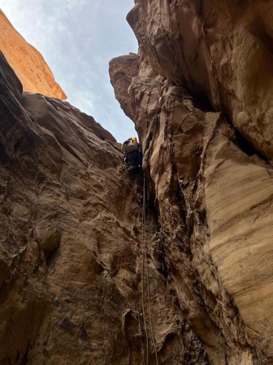
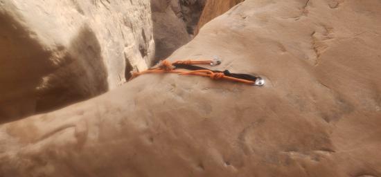
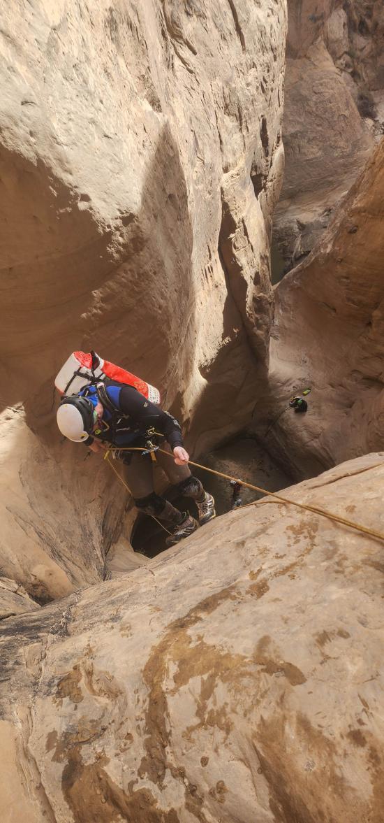
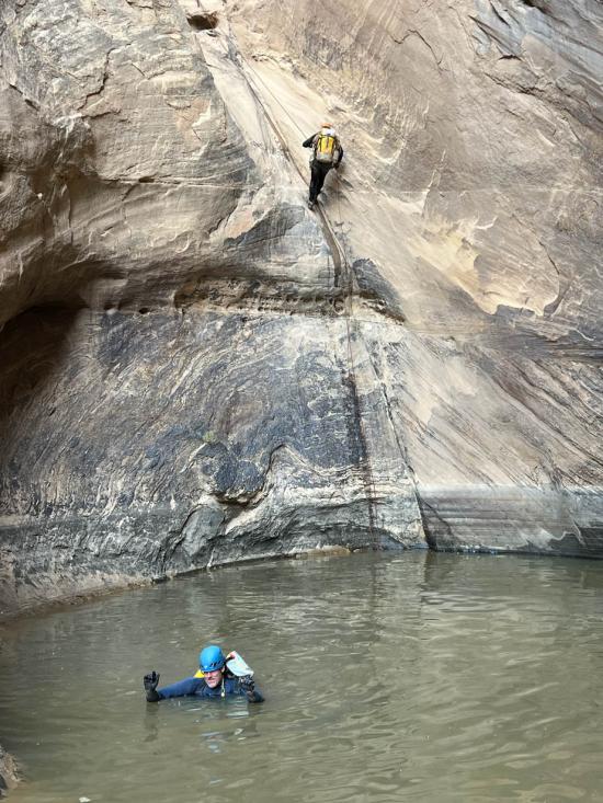
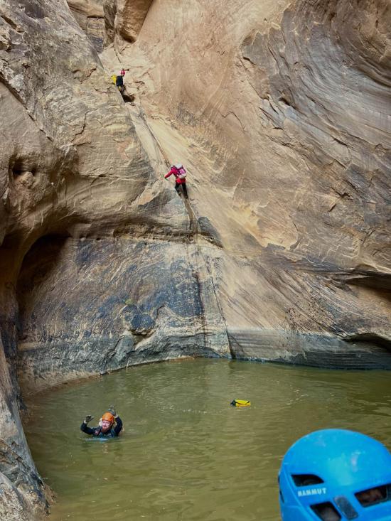
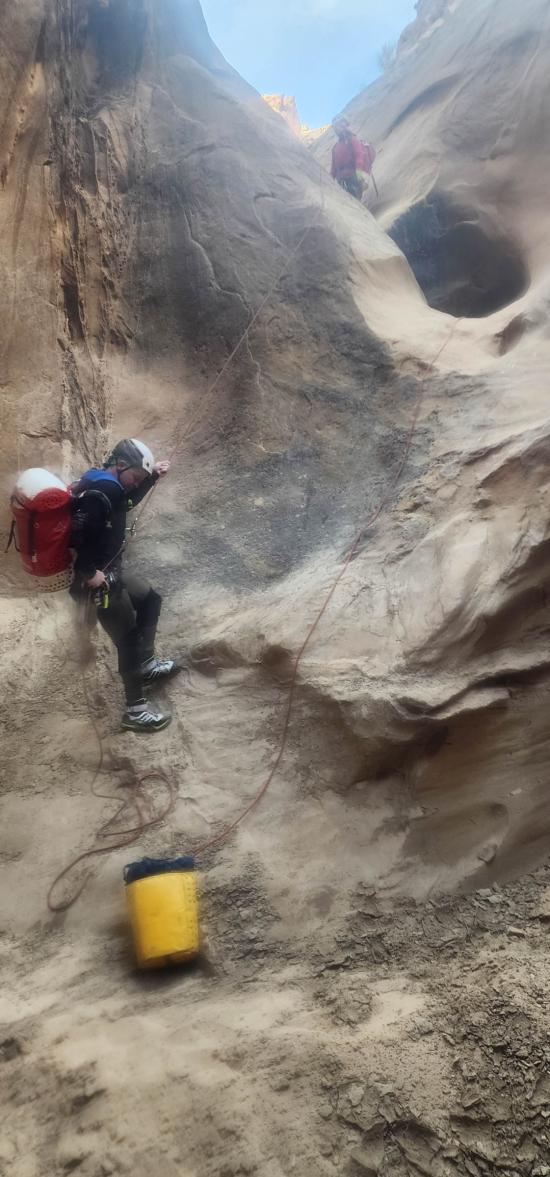
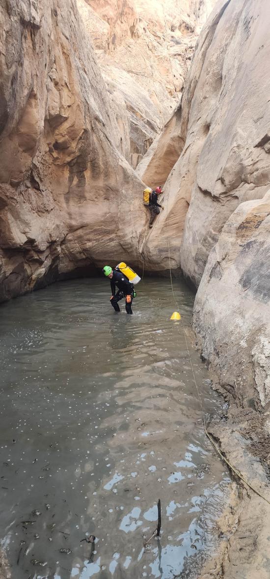
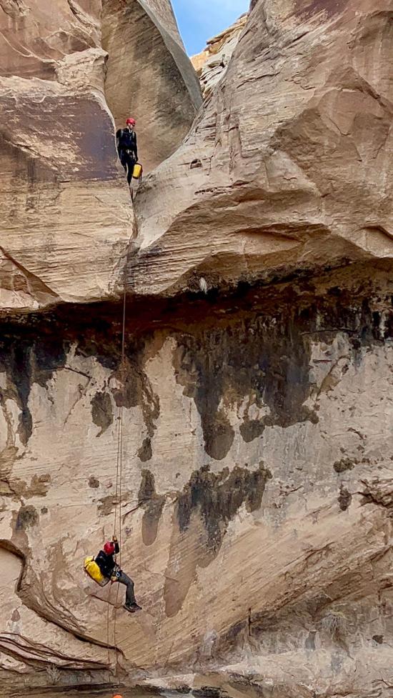
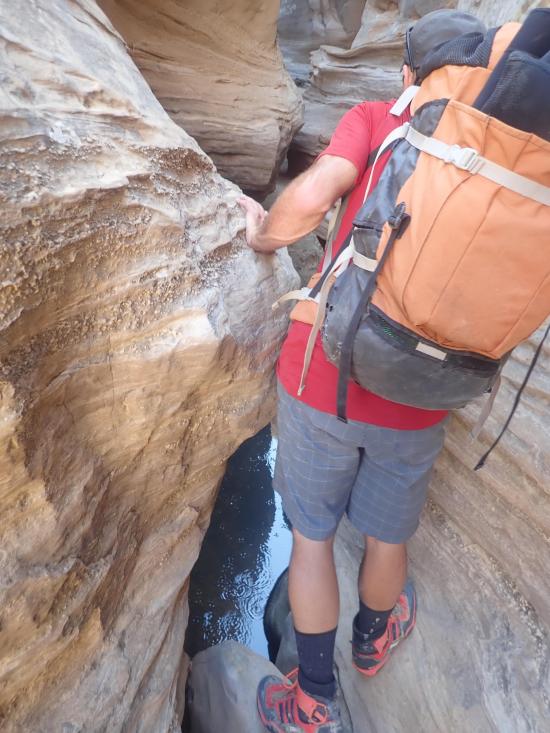
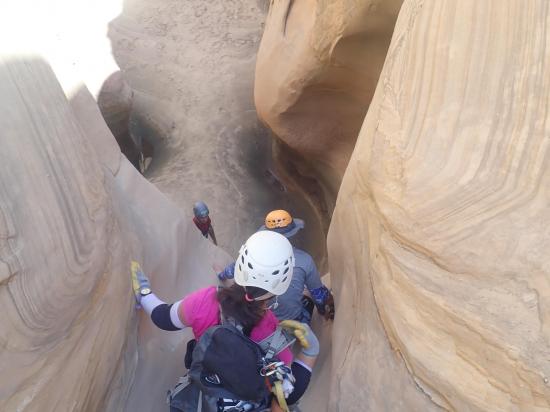
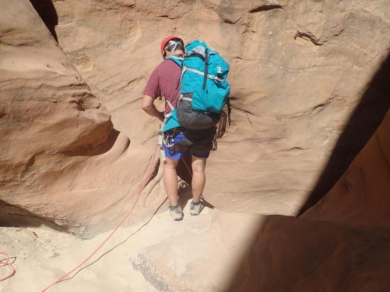
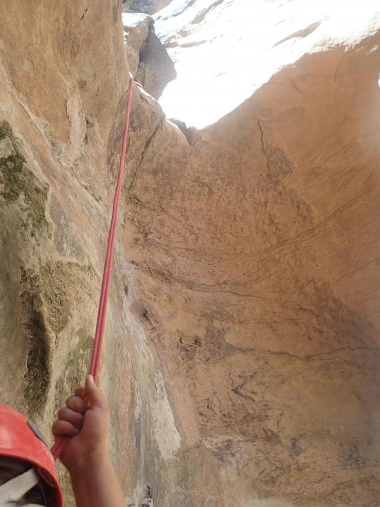
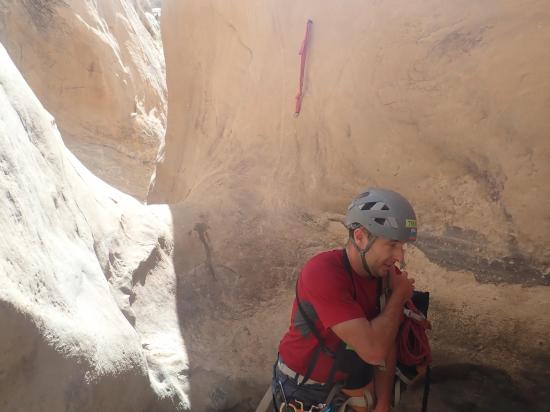
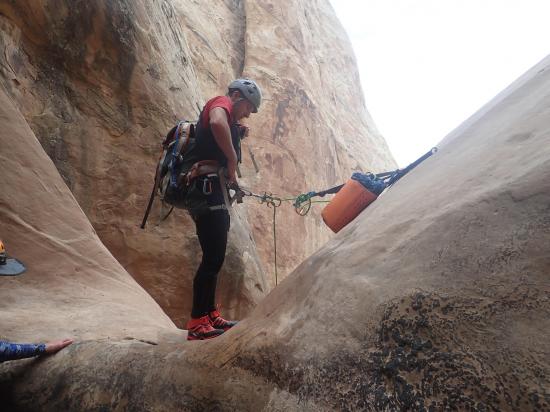
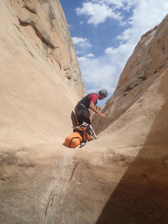
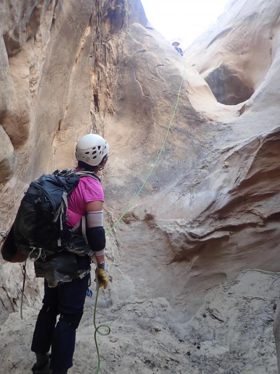
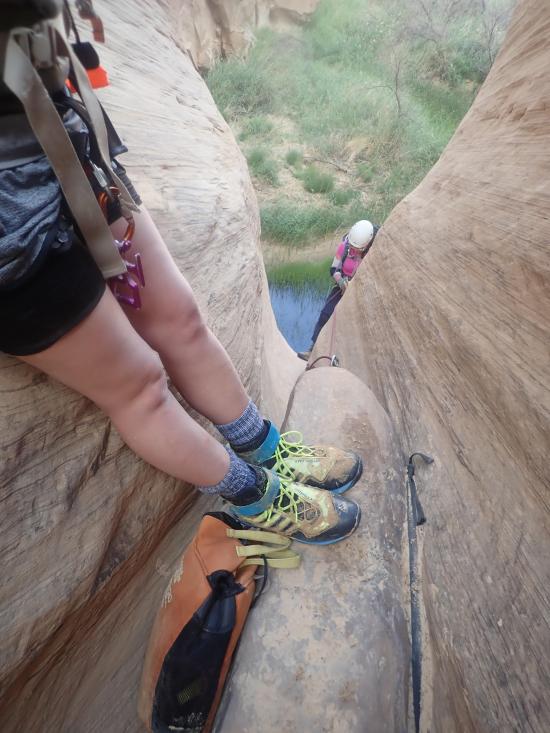
You'll soon come to the first major drop in the canyon. Rappel about 20 feet from a bolted anchor down a chute. This drop can be downclimbed with moderate exposure. This rappel drops you into a pothole that can be escaped solo by a very skilled person, but most will want a partner assist out. It's about 0.2 miles to the next major drop.
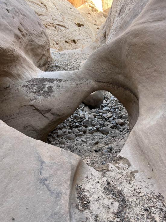
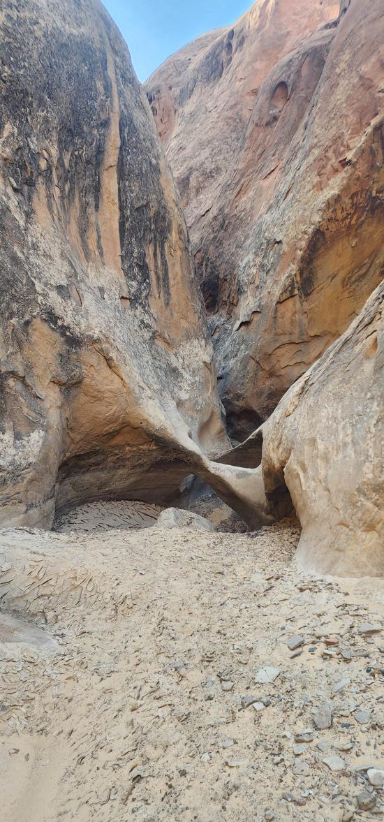
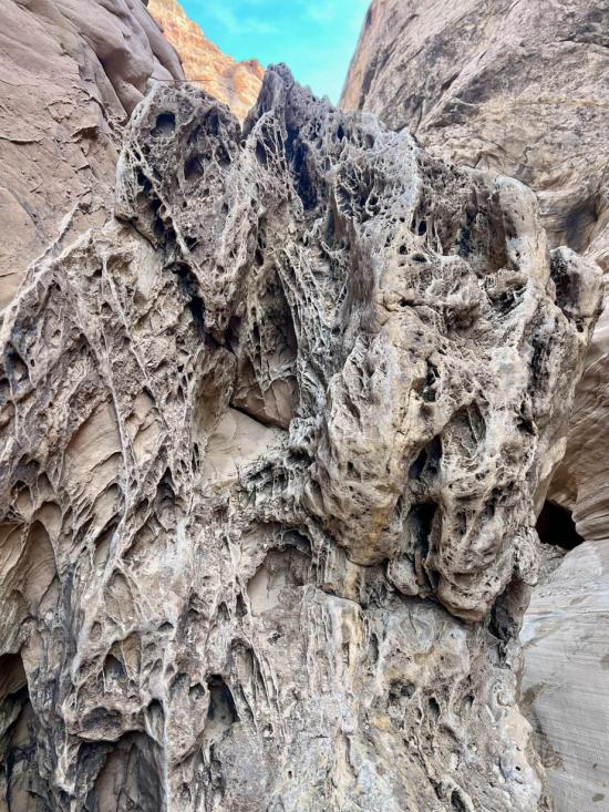
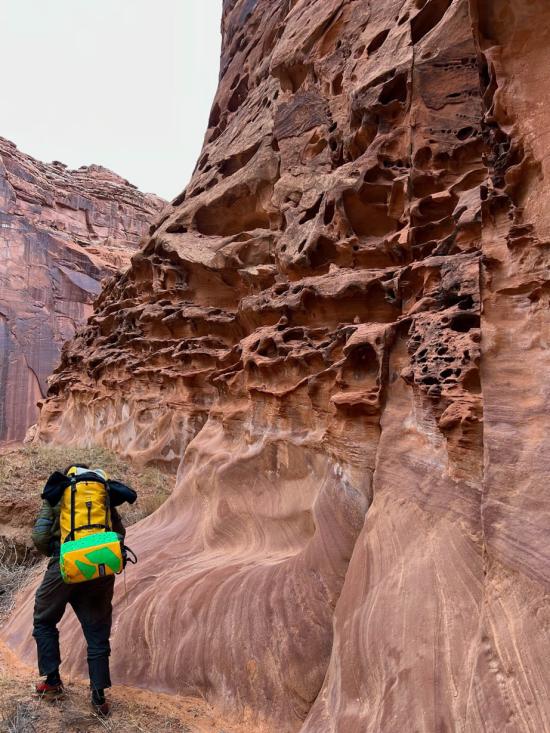
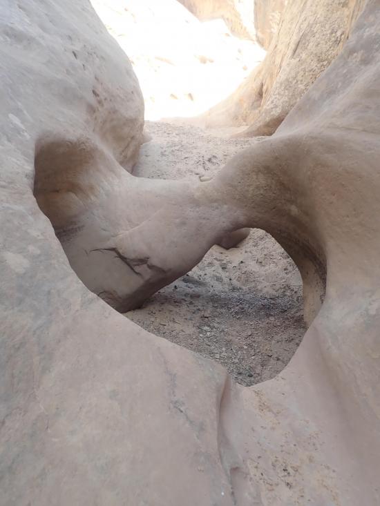
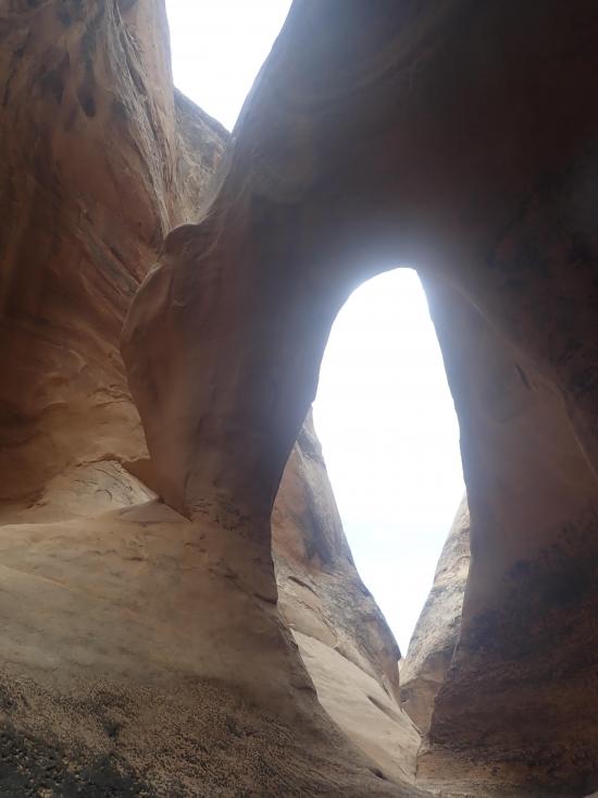
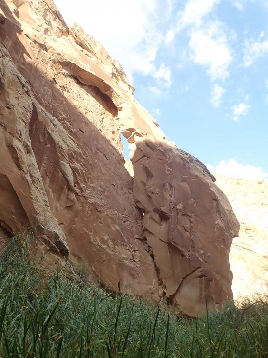
Arch #1 of five is small but twisty.
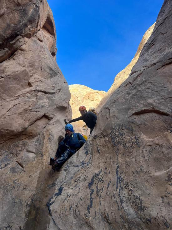
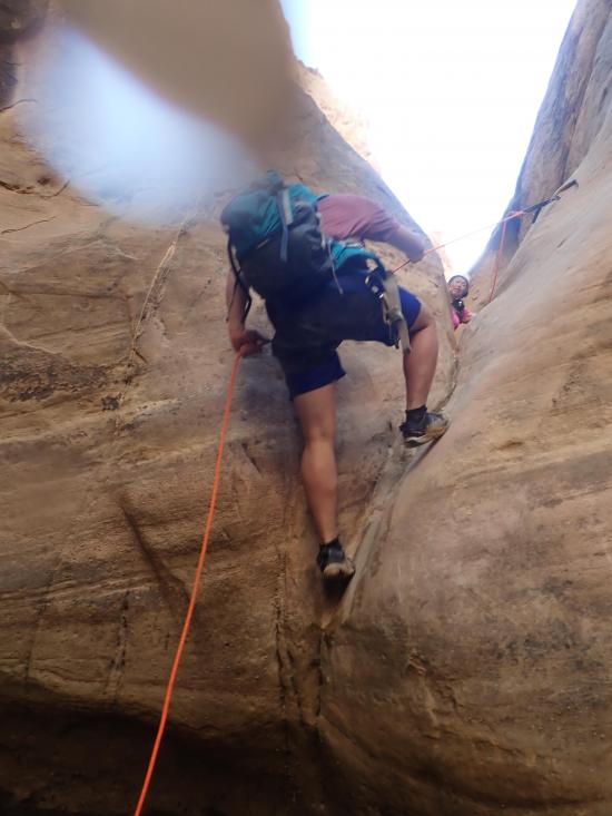
Next up is a short drop that can be downclimbed with a partner capture.
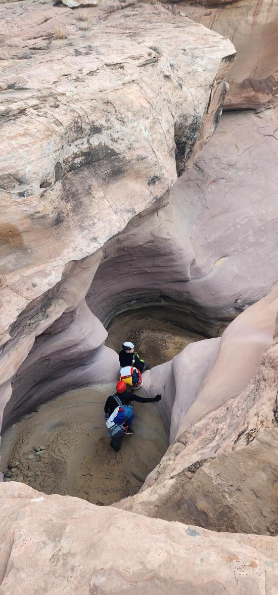
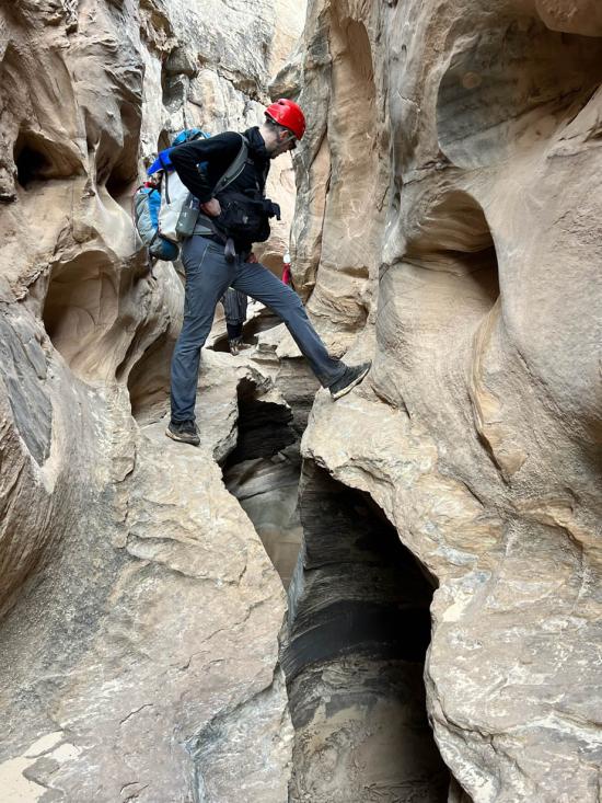
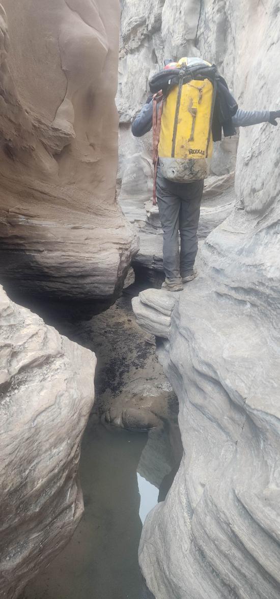
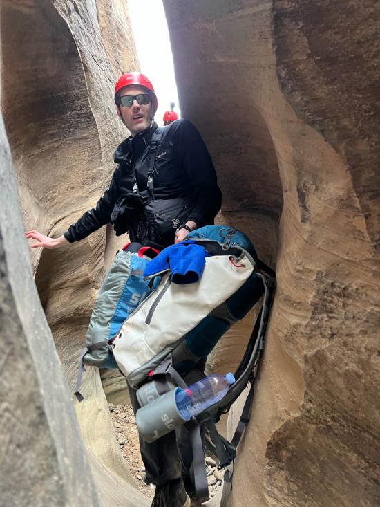
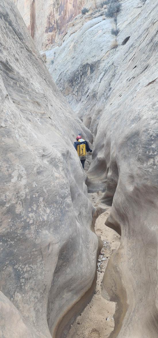
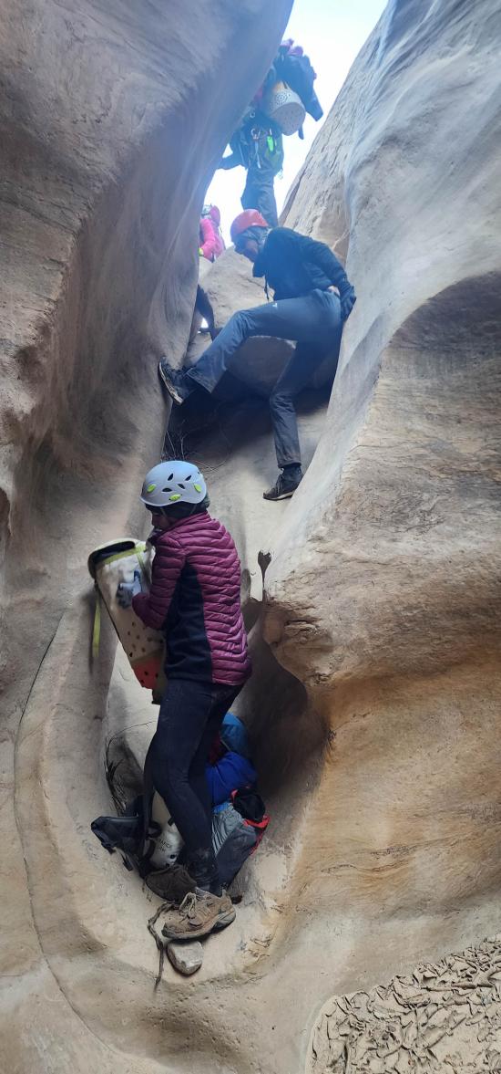
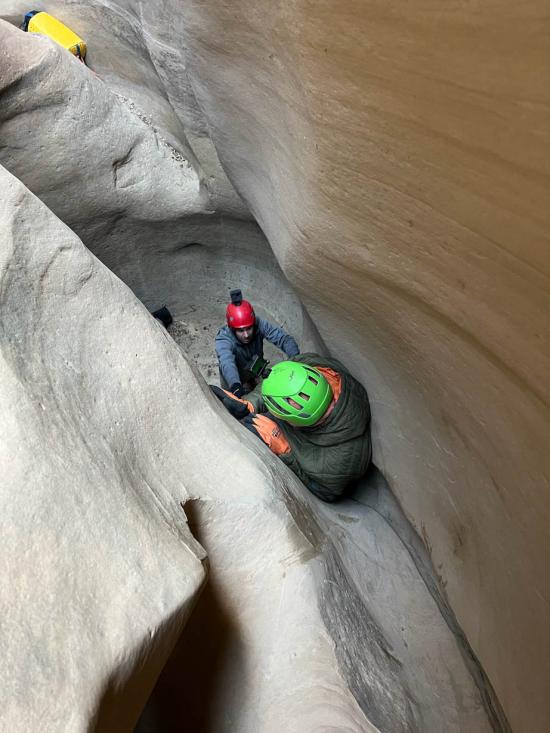
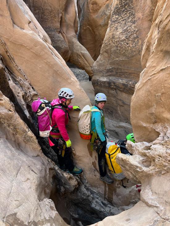
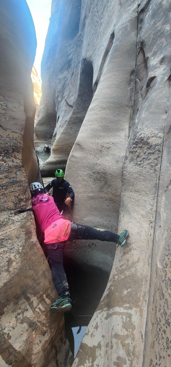
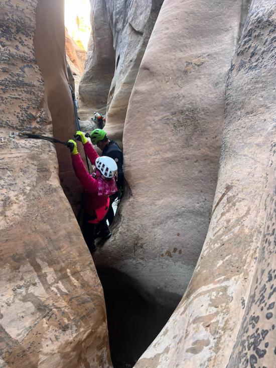
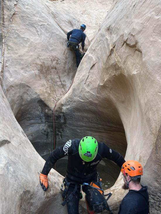
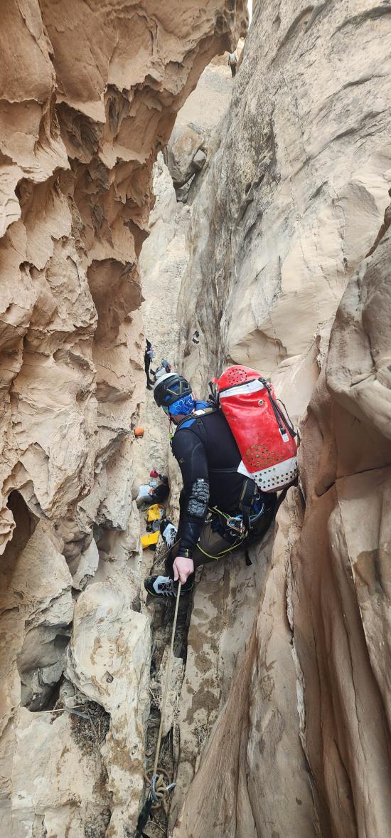
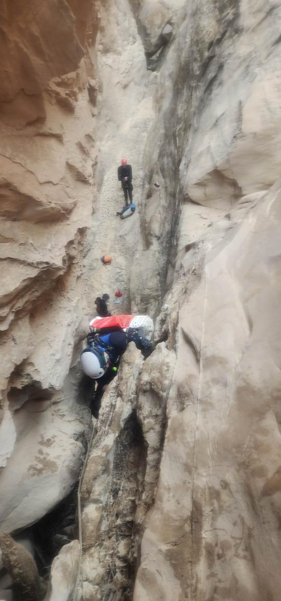
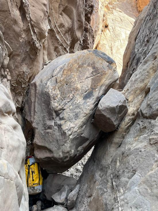
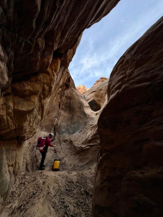
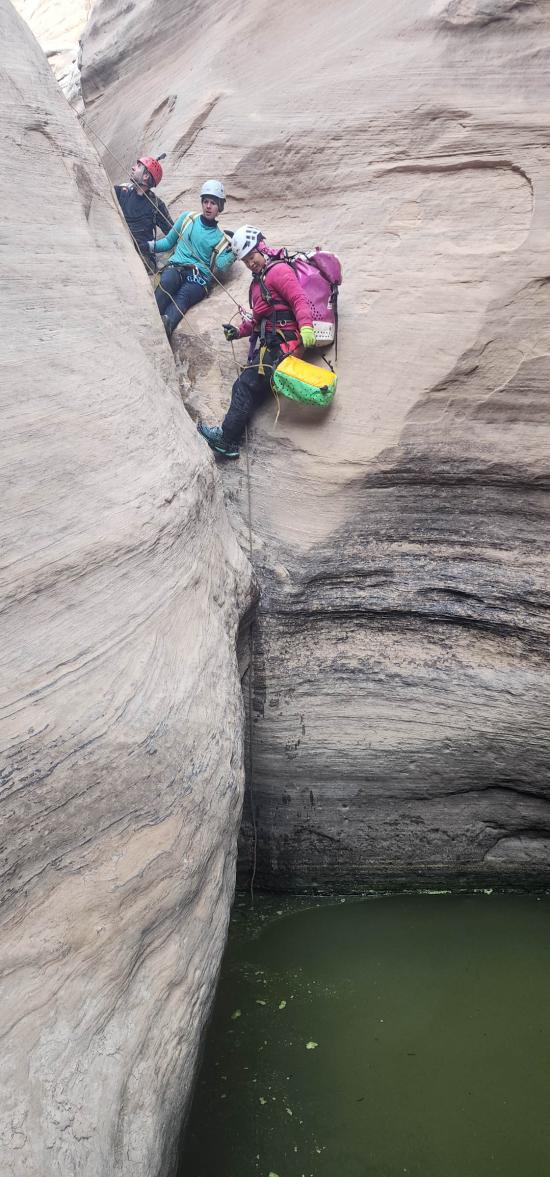
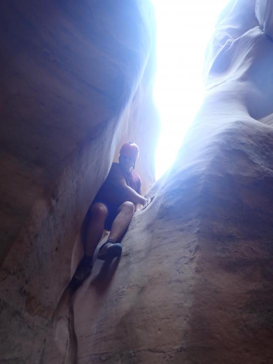
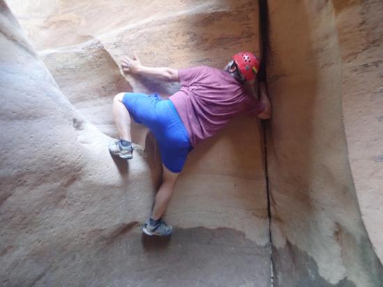
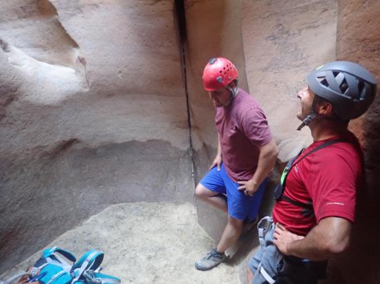
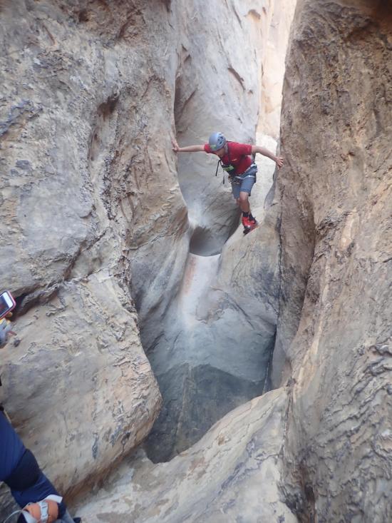
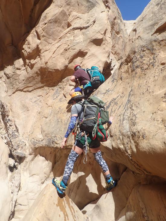
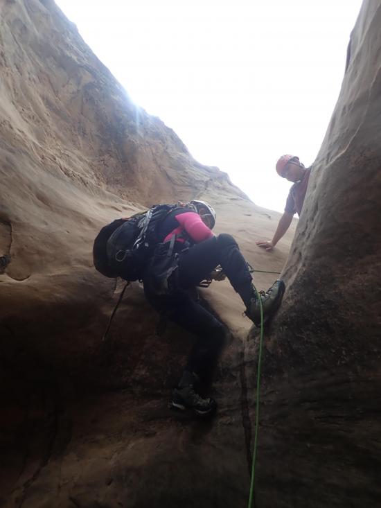
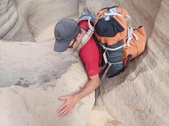
The next section of canyon has several small and medium potholes that are straight forward. There are also a few sections of low stemming.
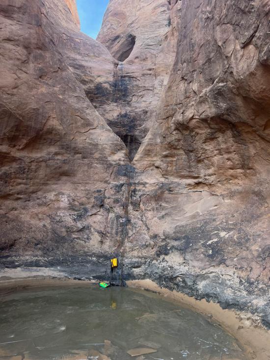
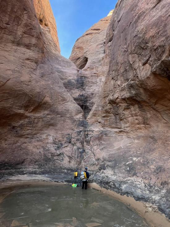
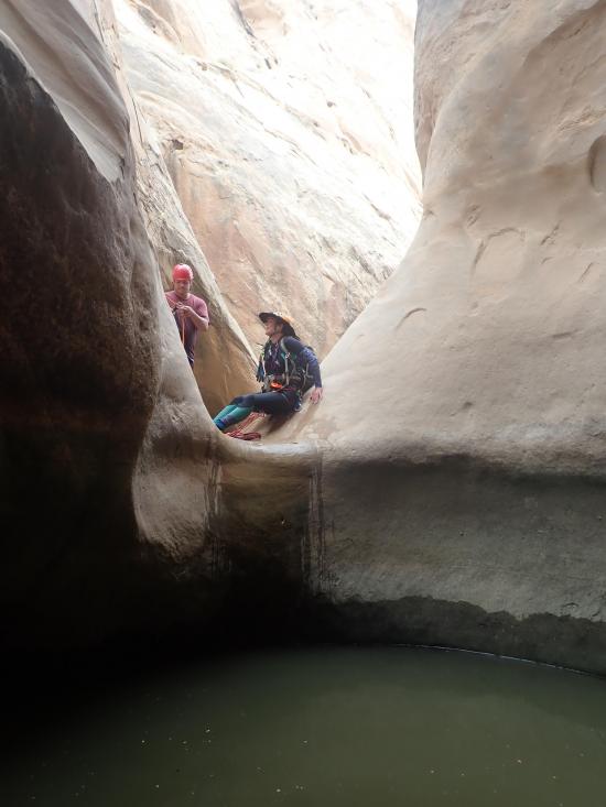
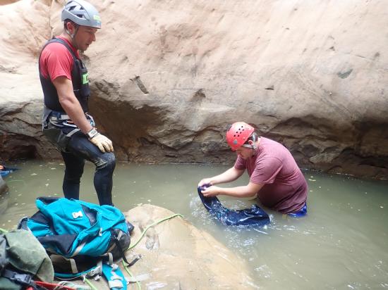
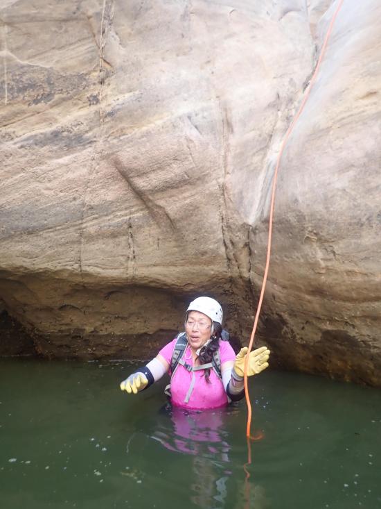
There a 12-foot rappel from a deadman anchor into a shallow pool.
Arch #2 is also small.
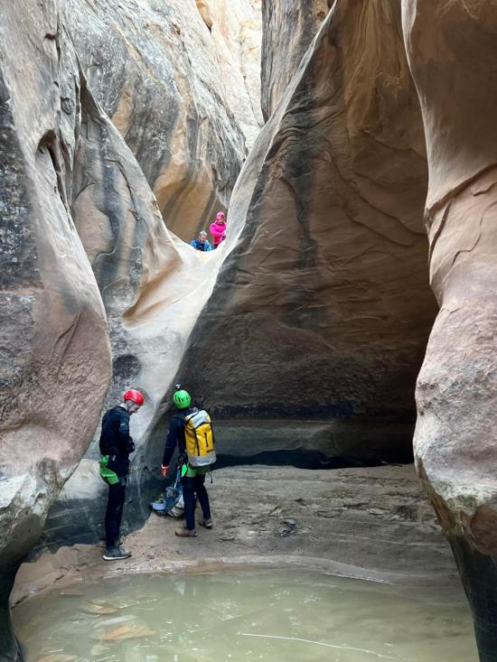
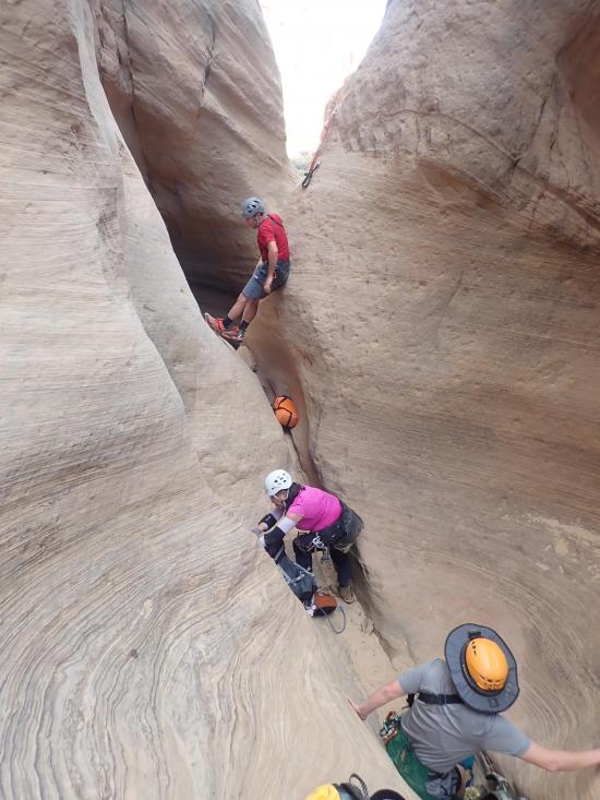
Next up are a couple of short rappels from bolted anchors and a pool or two.
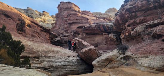
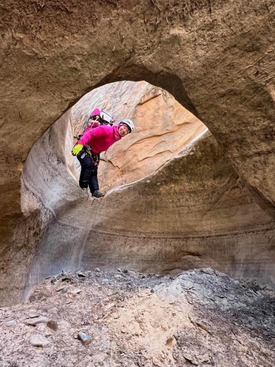
Arch #3 is the first big arch. This arch is followed by some wash walking.
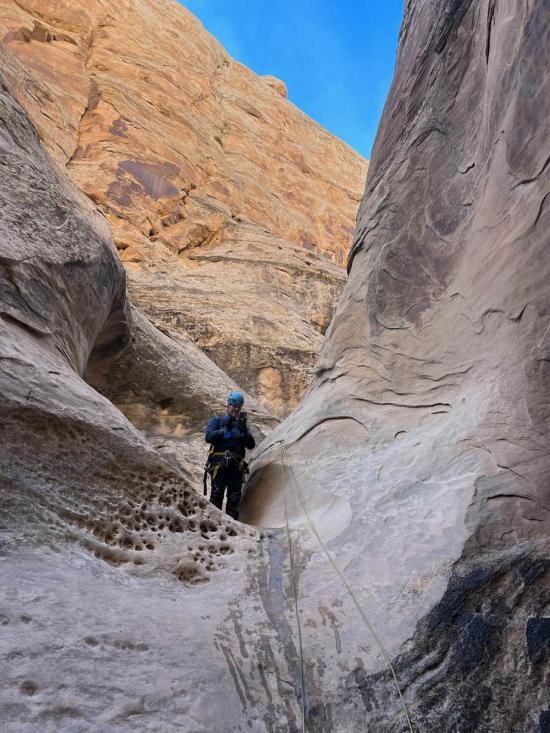
There's a short rappel from a bolted anchor (can also be downclimbed with a meat anchor and partner assist).
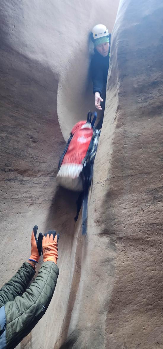
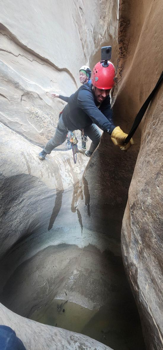
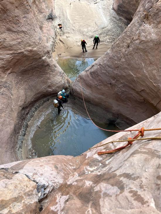
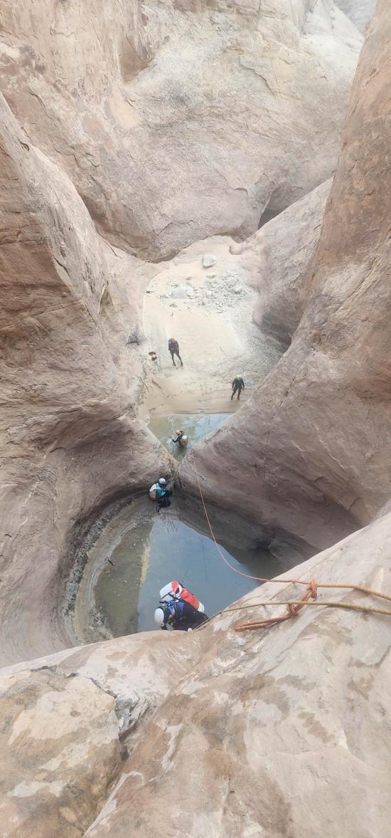
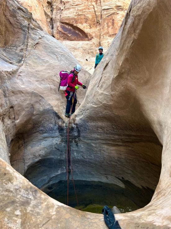
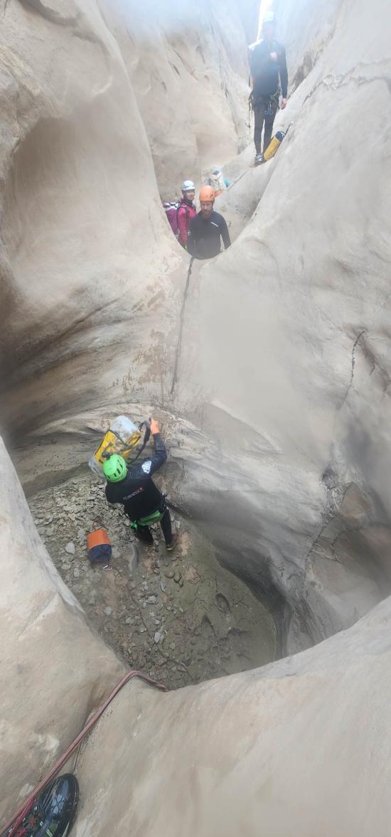
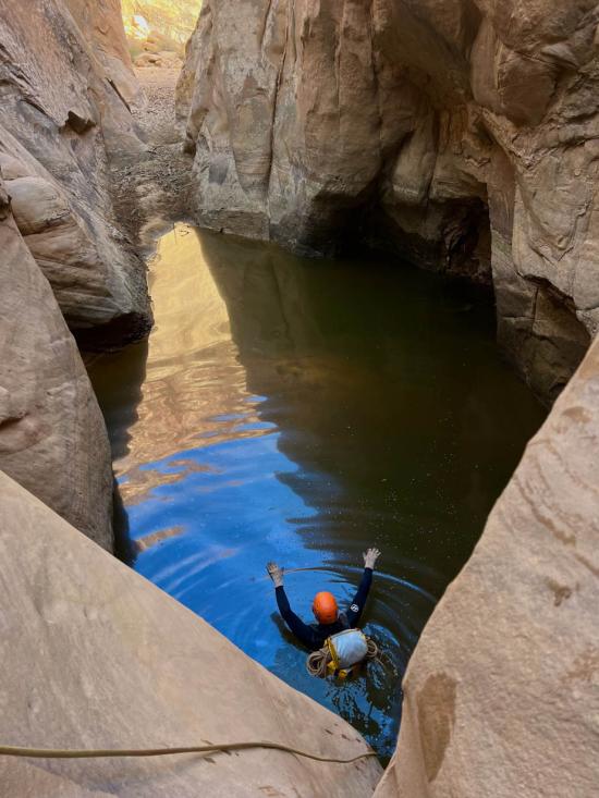
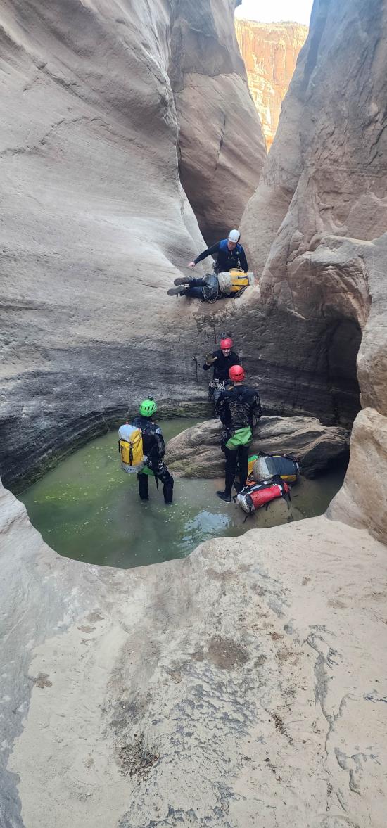
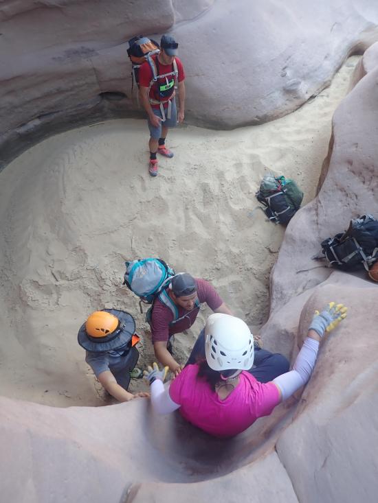
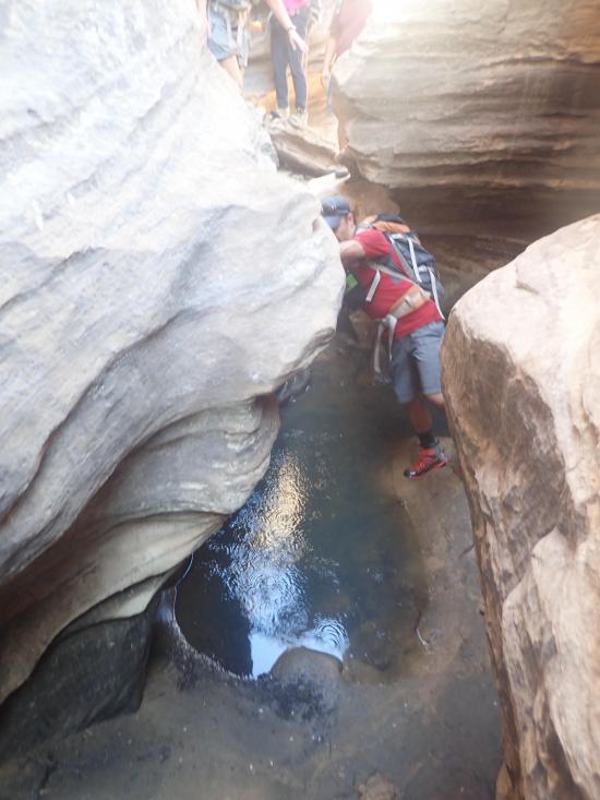
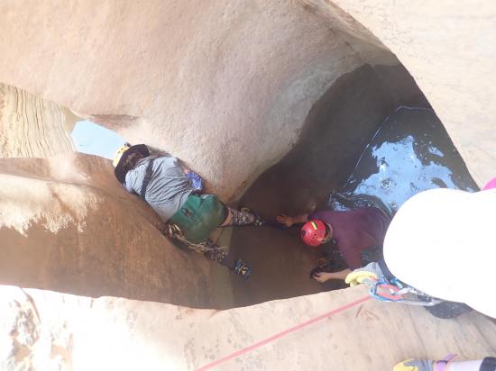
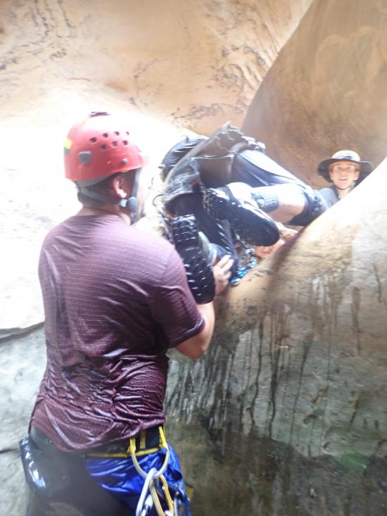
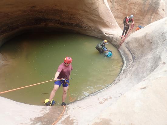
Almost immediately after is a rappel from a bolted anchor into a deep pothole. This pothole is conquered with a partner assist.
Following are some short downclimbs and short rappels into some shallow potholes.
Arch #4 is the second big arch. This means you're getting close to the crux pothole.
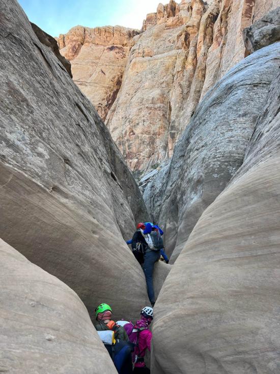
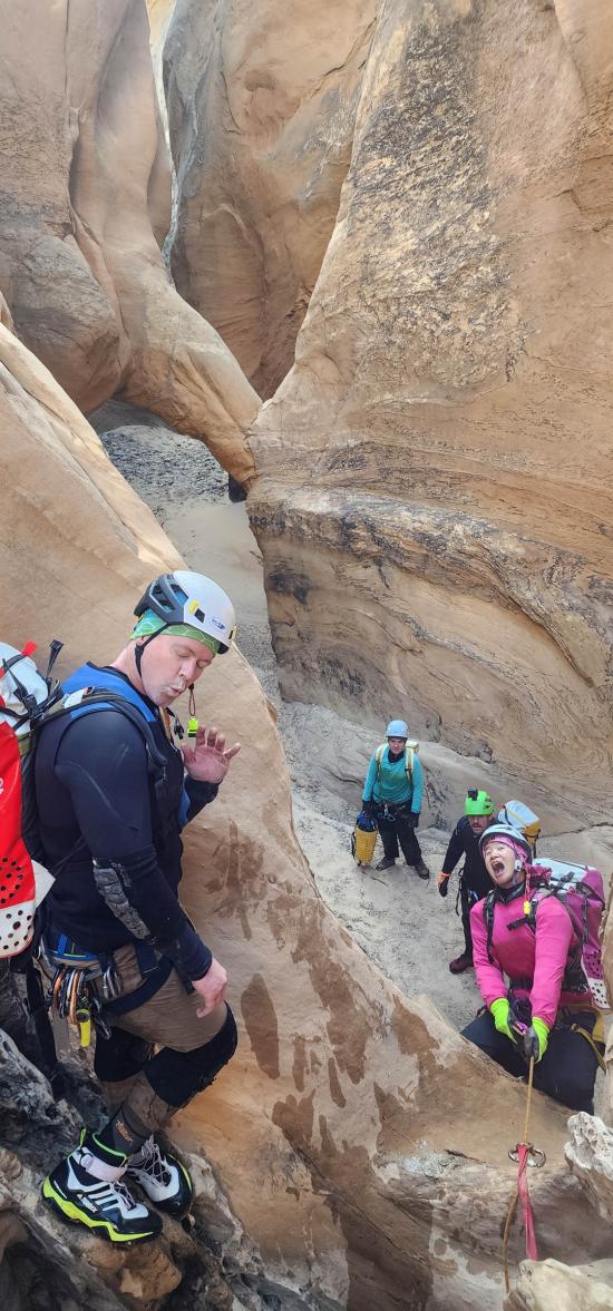
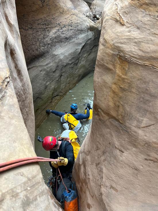
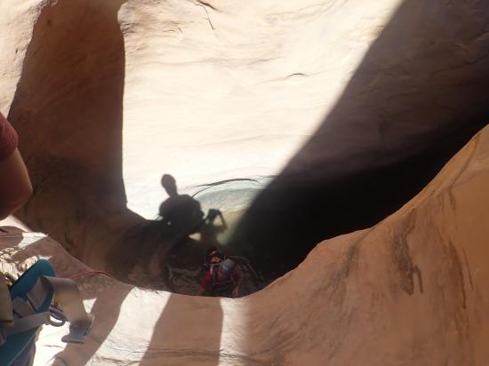
Before everyone rappels down into the crux pothole, make sure that at least one member of your group can get out the other side first. You'll likely want to throw a sandbag from up top, so make sure you have a plan for how to tackle this pothole. For canyoneers with a lot of pothole experience, this is not a major pothole, but for unprepared groups, this pothole could turn a fun trip into a dangerous one.
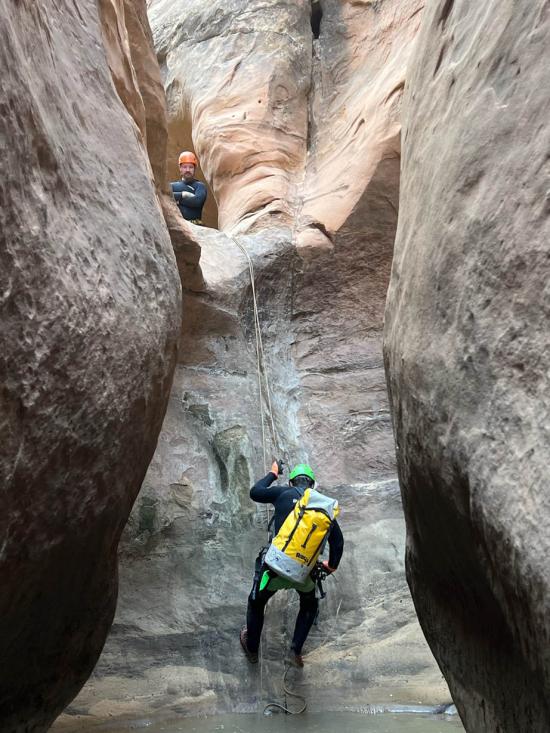
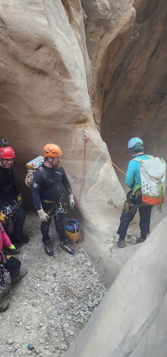
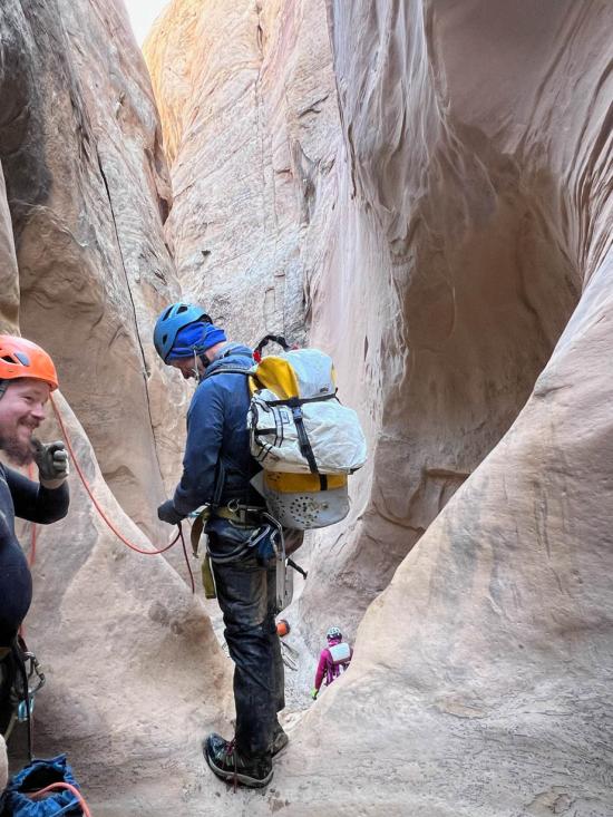
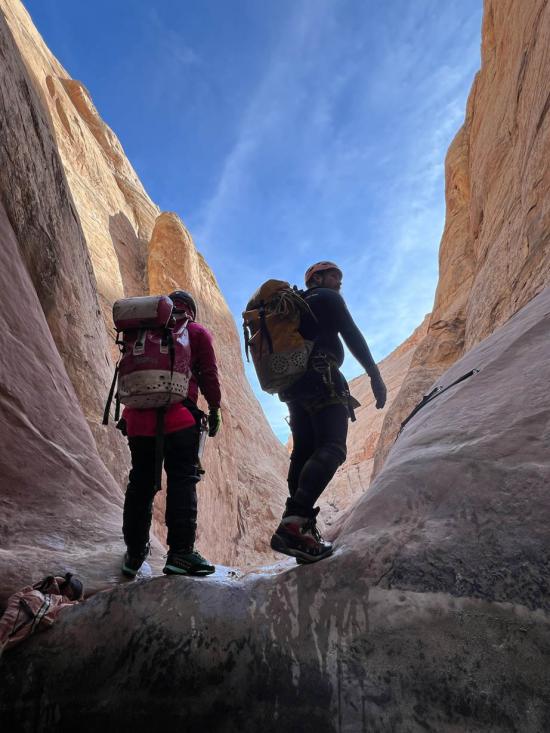
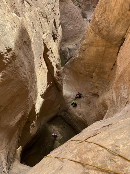
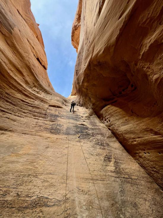
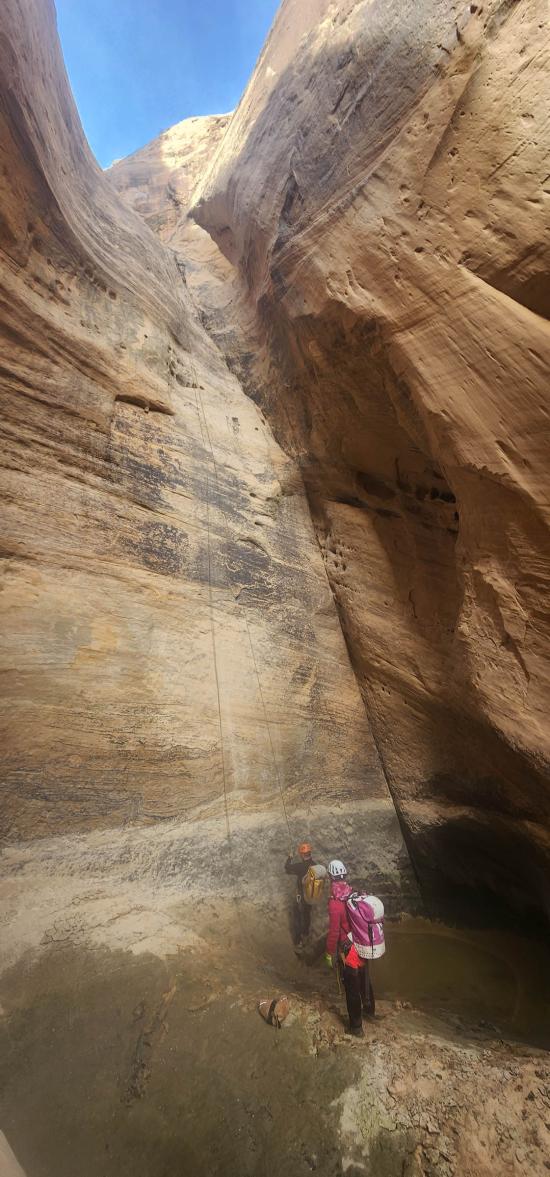
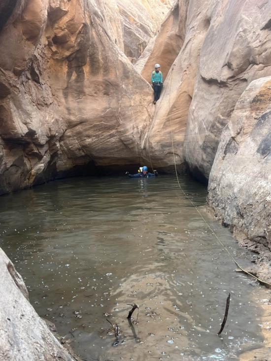
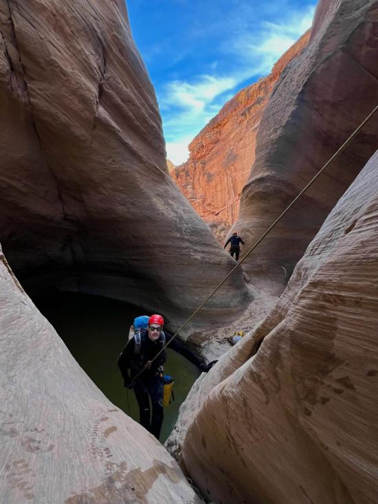
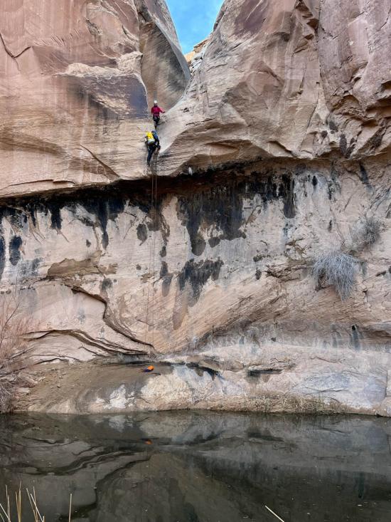
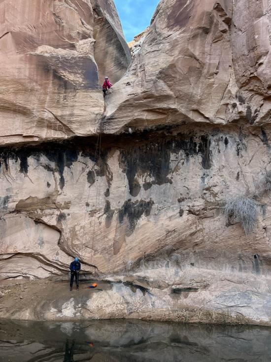
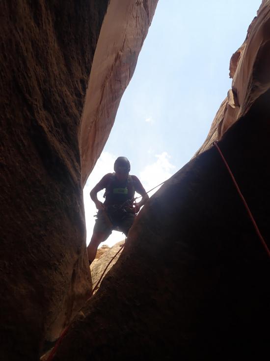
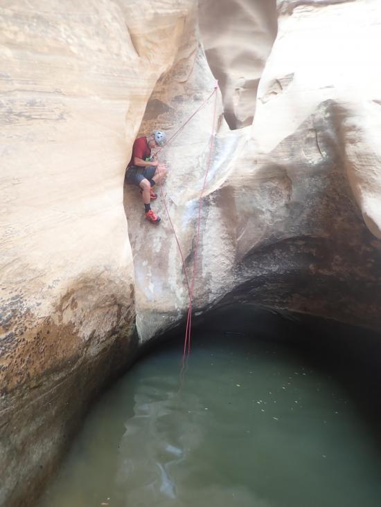
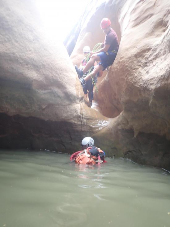
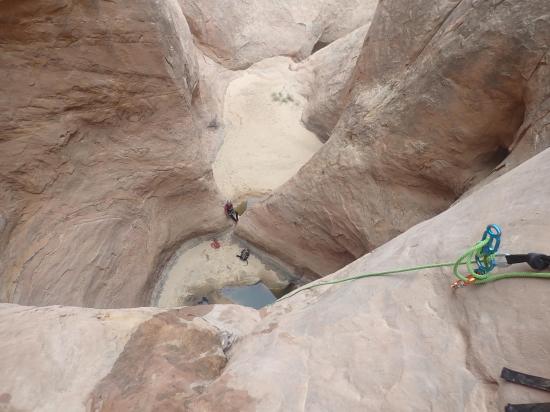
Two short rappells back-to-back are followed by a long rappel from a bolted anchor.
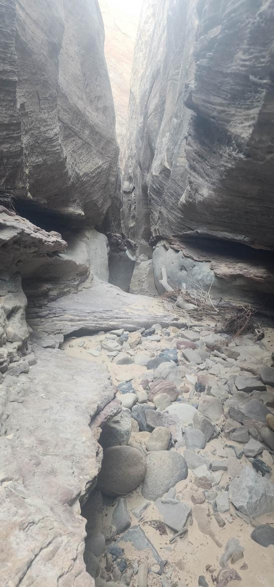
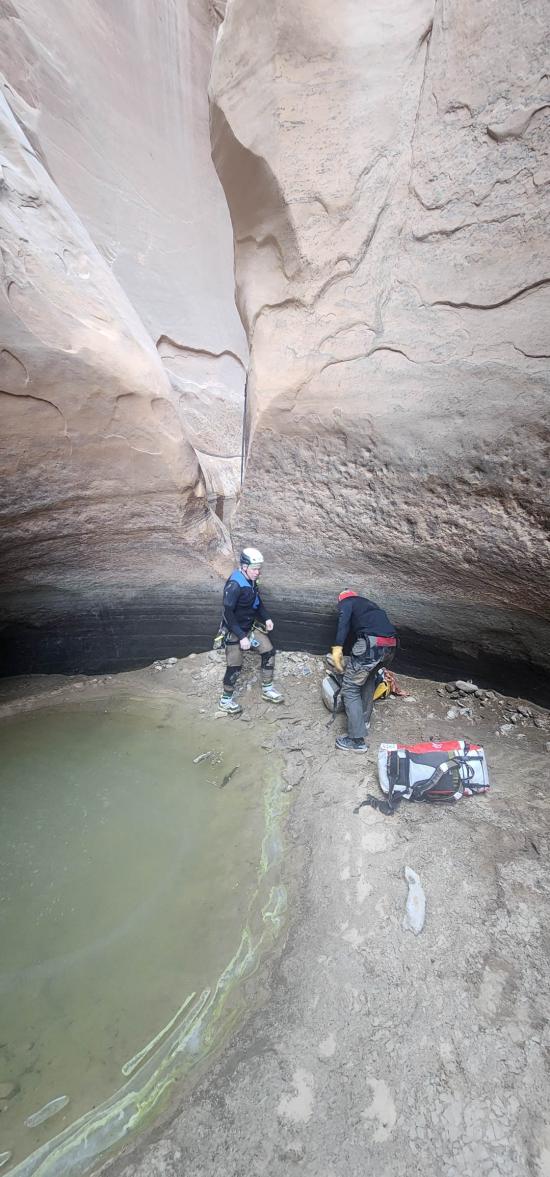
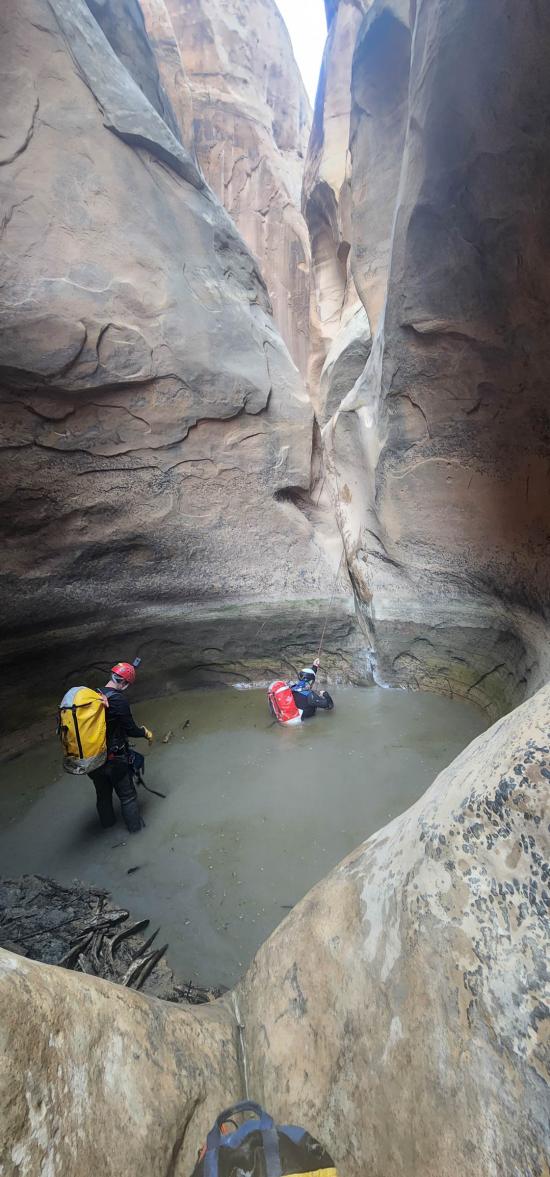
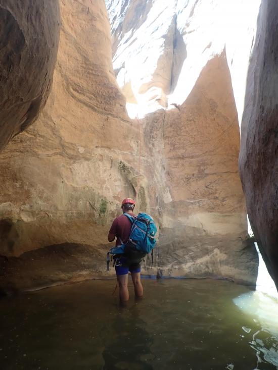
There is a fairly long section of canyon with no rappels, then after a while is a long rappel from a chockstone. If you want to ghost this drop, you can rappel from a sand trap to the south followed by a rappel from a water anchor.
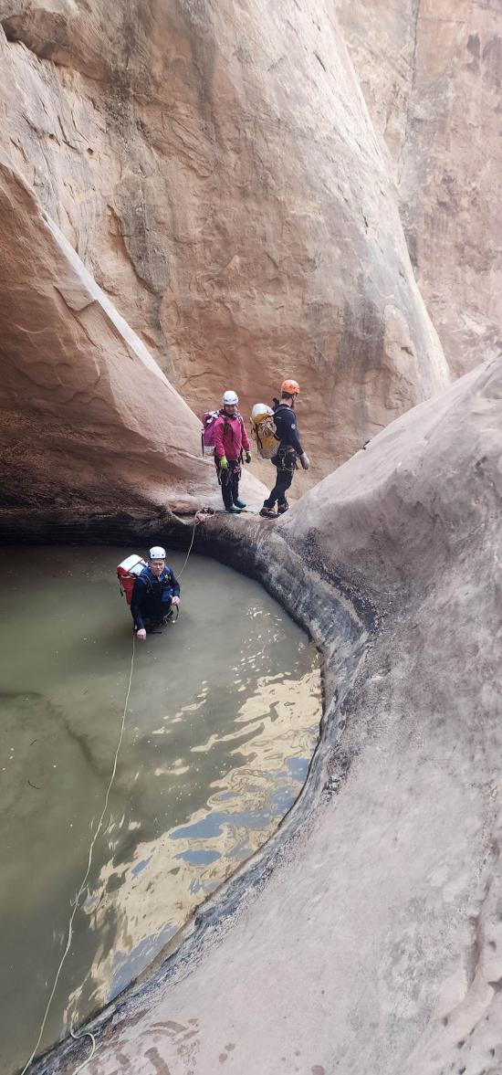
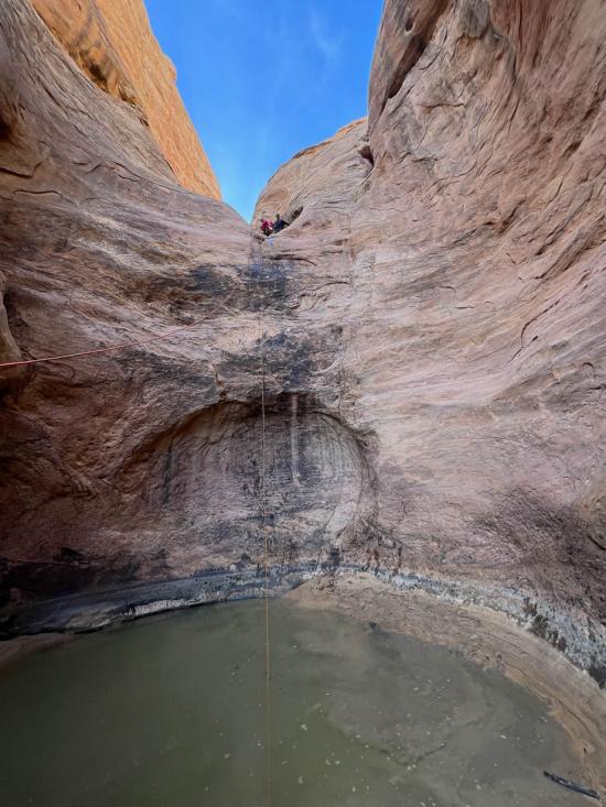
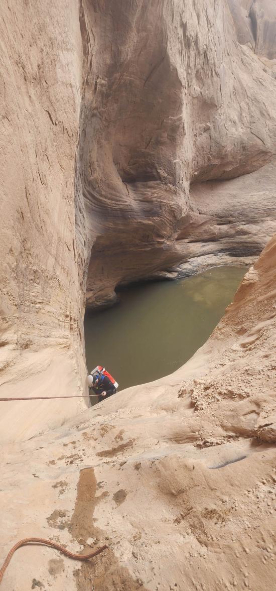
A couple of medium-length rappels deposit you into a sandy wash where you can walk to the final short section of narrows and the final, long rappel from a chockstone into a large pool.
Arch #5 is in the fin at the bottom of the canyon.
Walk east to Muddy Creek, then turn north and follow Muddy Creek (walking upstream) to the trailhead.
Closest City or Region: San Rafael Swell, Utah
Coordinates: 38.543832, -110.963840
By Jeremy Dye
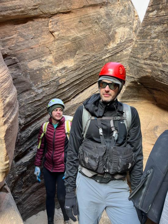
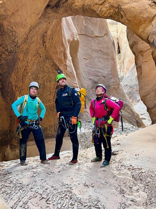
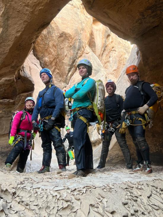
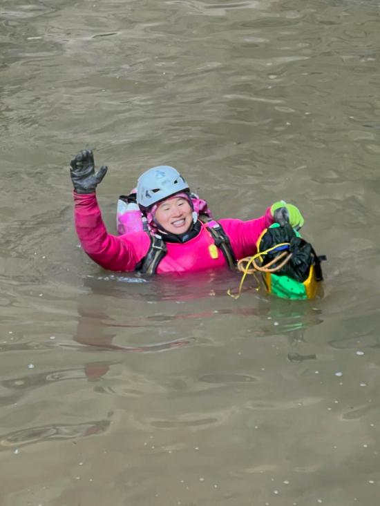
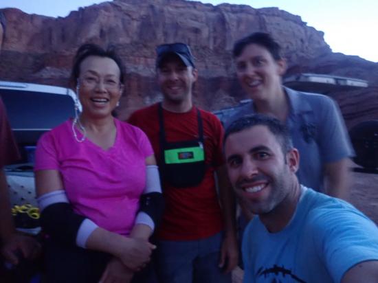
Jeremy Dye, Anthony Dye, Ondylyn Wagner, Luke Galyan, Tracy Kwan, Tom Collins, Ryan Hone, Zack,

_550w.jpg)


By Jeremy Dye
Jeremy Dye, Anthony Dye, Katy Sedlak, Wan-Jen Horng, Trent Carlisle,
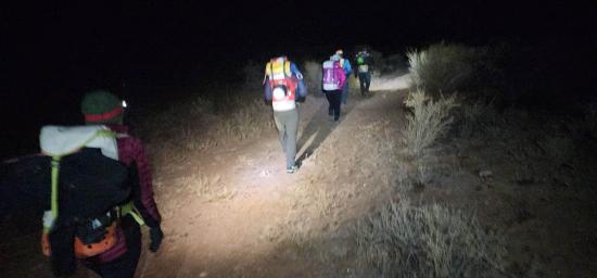
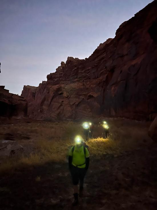
Start at Hidden Splendor Trailhead: 7:00 a.m.
Leave Muddy River: 7:55 a.m.
Short Section of Upper Narrows: 9:35 a.m.
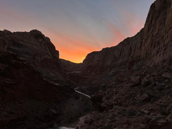
Bottom of The Squeeze: 6:40 p.m.
End at Hidden Splendor Trailhead: 8:35 p.m.
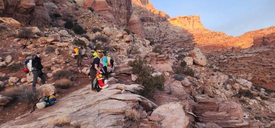
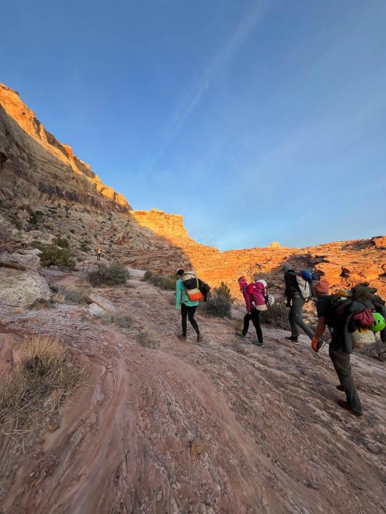
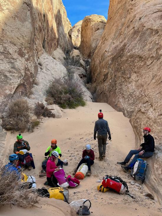
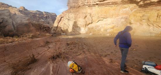
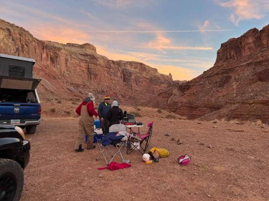
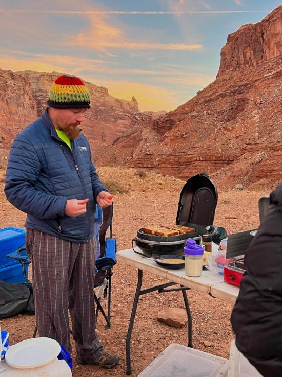
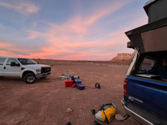
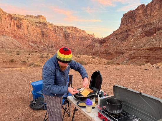
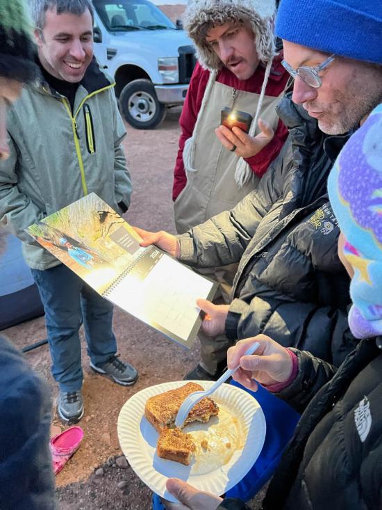
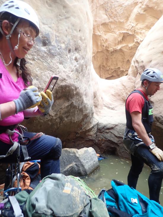
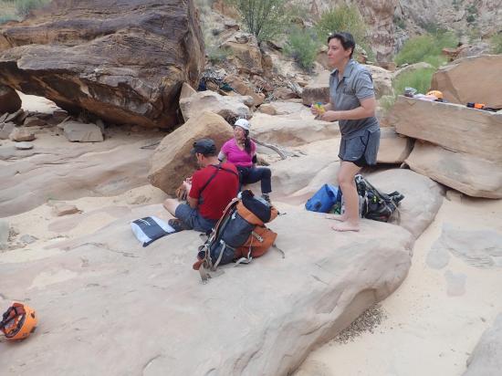
Anthony and I decided last minute to do a canyoneering trip over the weekend. We invited Trent because he had expressed interest in a previous trip, and we opened an invitation up to the Utah Canyoneers Facebook group. Katy and Wan wanted to join, so we all met down at the camp site on Friday night and did The Squeeze on Saturday.
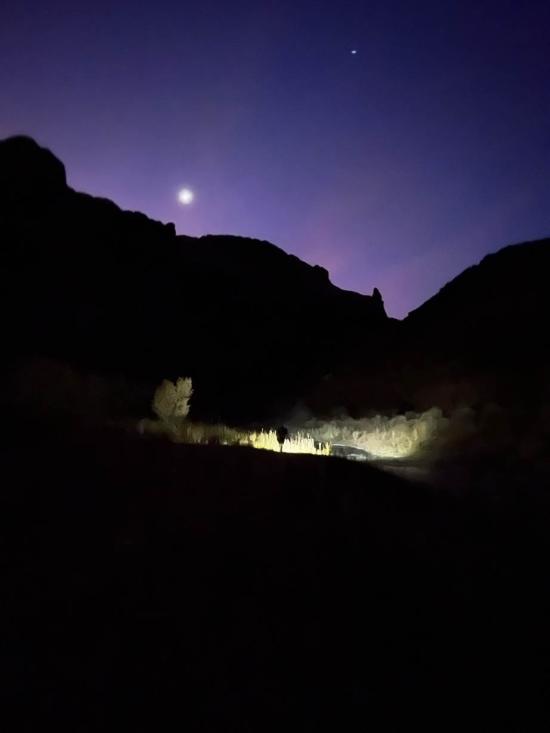
We got a fairly early start. We were hoping that if we made good enough time in the canyon that we could go up Knotted Rope Canyon instead of hiking back up Muddy Creek. However, on the approach it was apparent that we would only have time for one canyon, so we went at a relaxed pace instead. We had fun challenging each other to escape potholes solo or attempt downclimbs while on rappel. We have found that this is a good way to improve our skills in a safer environment so that when a canyon requires those skills, we'll be able to pull off those moves. The water was chilly but refreshing, and we didn't need wetsuits. Even though they weren't required, we pulled out the sand trap and water anchor to give some of the group members a chance to practice using them. All in all, it was a really fun trip, and we made a couple new friends. We got back to the trailhead right as it was getting too dark to see.


Goblin Valley Primitive Camping
Quandary Trailhead Primitive Camping
Temple Mountain Road Primitive Camping
Goblin's Lair Canyoneering Route
Temple Mountain Wash Pictograph Panel
 Rappels
 Downclimbs
 Swimming
 Wading
 Stemming
 Pothole Escapes - Sand Bag
 Pothole Escapes - Partner Assist
 Fixed Anchors
 Wetsuit Generally Required
 Petroglyphs and Pictographs
 No Drinking Water
 Arches
 Rivers and Streams
 Slot Canyon
 Mining
 Ghost Towns
 Wayfinding
 No Restrooms
 Road Access is Dirt - Low Clearance
 Access Road is 2WD Accessible
 Wildflowers and Vegitation