 Caving | Moqui Caverns


Hype:
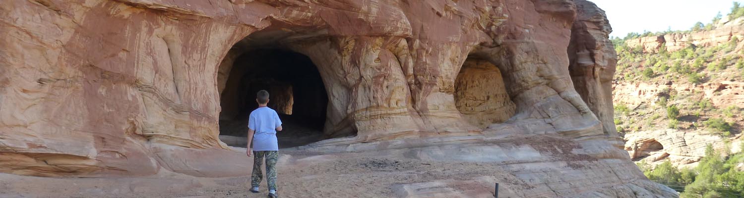
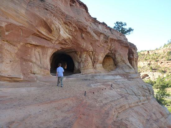
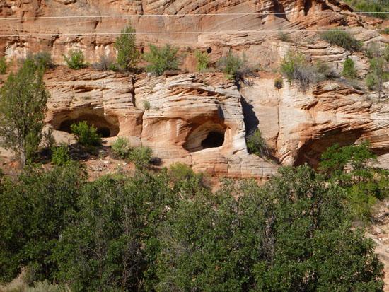
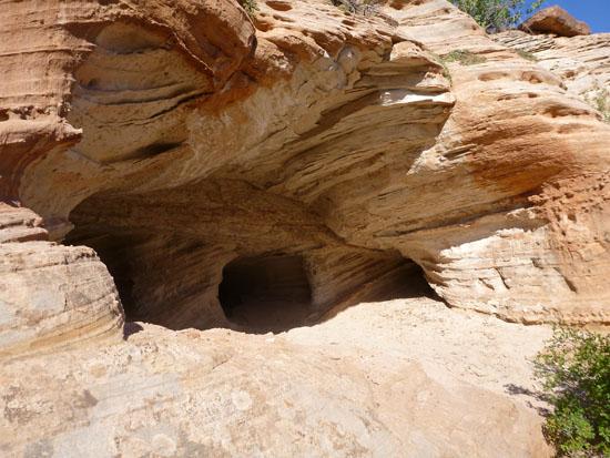
Moqui Caverns is a sandstone cave located about 5 miles north of Kanab, Utah along highway 89. Not to be confused with Moqui Cave, which is a paid attraction, Moqui Caverns are free and wild.
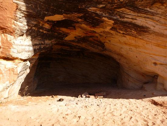
Cave Type: Horizontal
Time: 15 minutes - 1 hour
Length: 120 ft
Depth: 0 ft
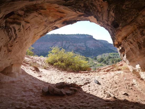
Gear: No gear is required, but a flashlight could be handy. If you want to rappel out of one of the windows, that is an option. We noticed 2 bolts in the floor, but the sandstone is really weak, so I wouldn’t trust the bolts.
Fees: None
Recommended Ages:
 | 0-3 |
 | 4-11 |
 | 12-19 |
 | 20-49 |
 | 50-69 |
 | 70+ |
Recommended Months to Visit:
| Jan |
| Feb |
| Mar |
| Apr |
| May |
| Jun |
| Jul |
| Aug |
| Sep |
| Oct |
| Nov |
| Dec |
Permits: Open
Links: CaveXploring.com
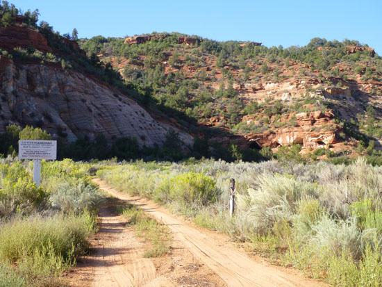
Navigate to 37.116501, -112.560501.
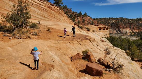
To get to Moqui Caverns, drive about 5 or 6 miles north of Kanab on highway 89. When you see the caves in the cliffs on your right (east), pull over on the side of the road and start walking. If you reach Moqui Cave (the famous tourist cave with indian ruins in the front), you've gone about 300 yards too far.
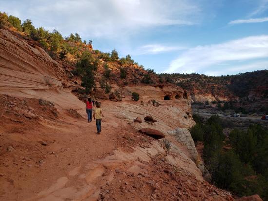
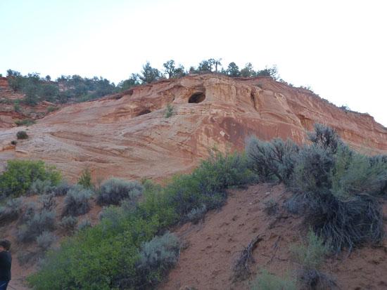
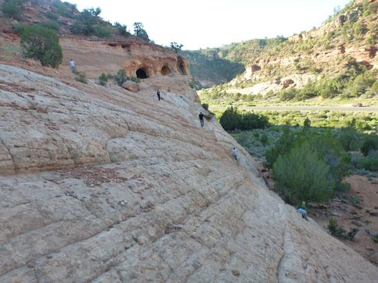
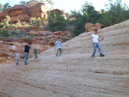
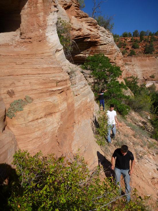
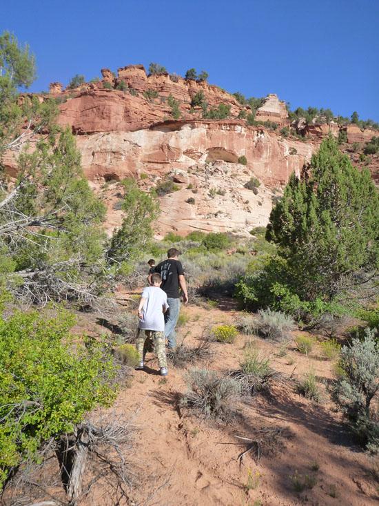
Moqui Caverns are situated at the top of a cliff. If you try to go straight to the entrance, you'll have a tough time.
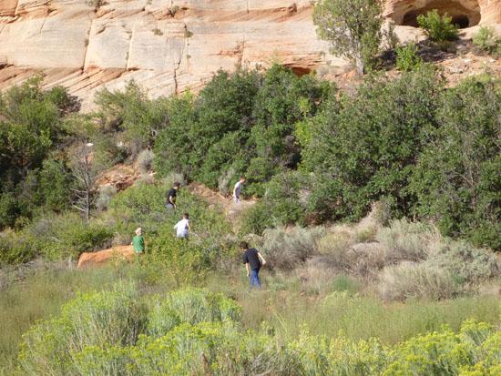
Instead, follow the drainage to the left where the cliffs aren't as steep.
Once you get to the top of the cliff, you can follow a ledge over to the caves.
By Jeremy Dye
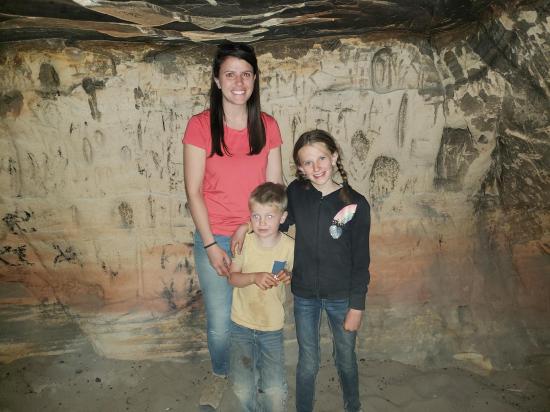
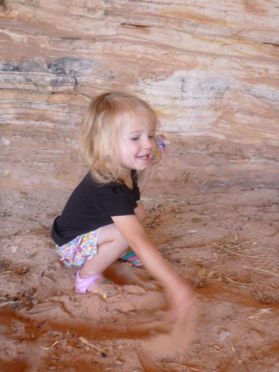
Tara Dye, Savannah Dye, Cooper Dye, Ondylyn Wagner,
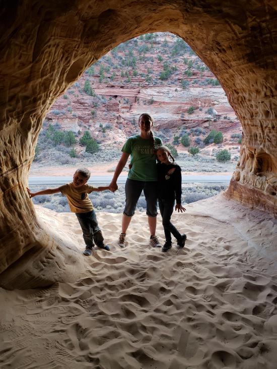
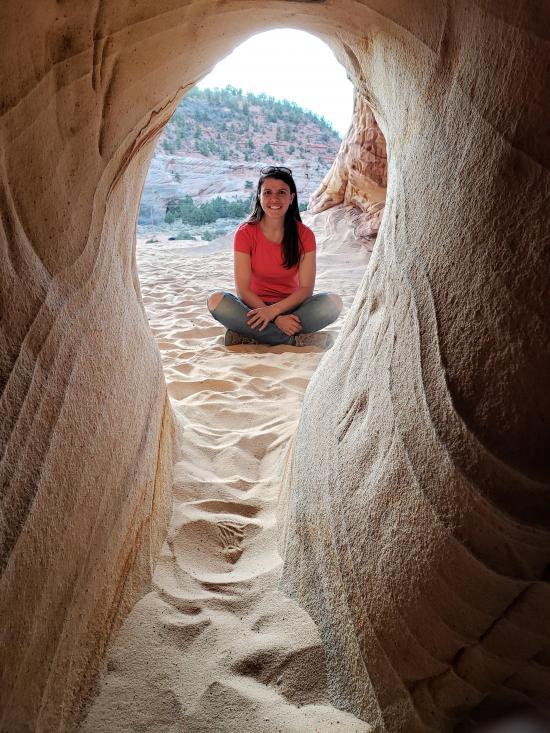
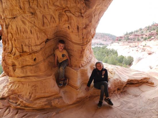
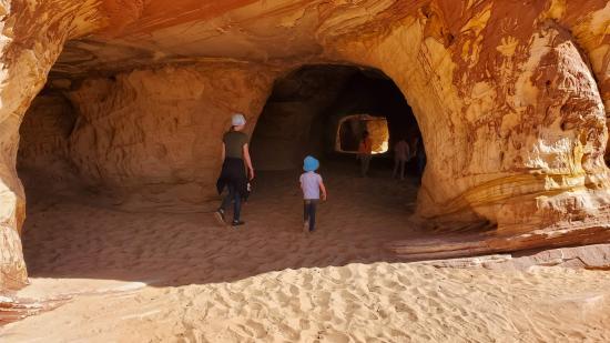
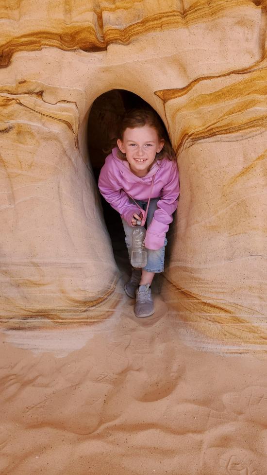
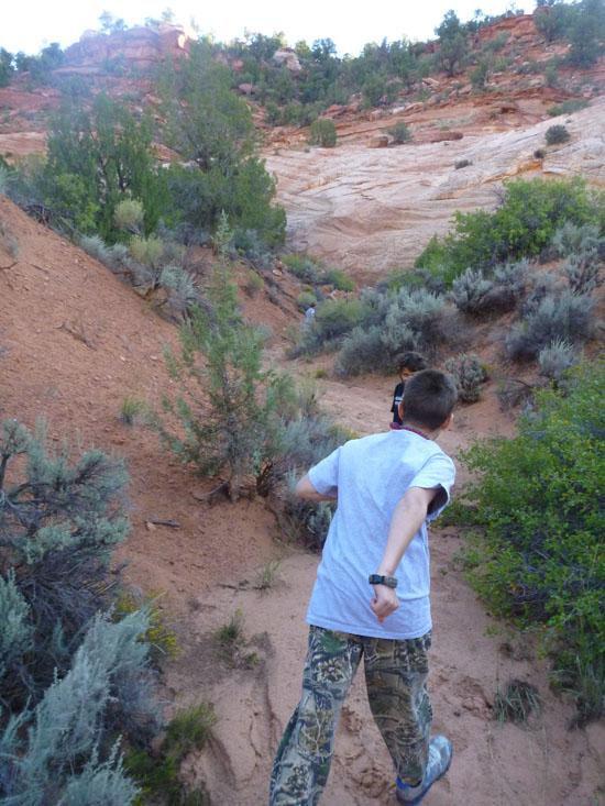
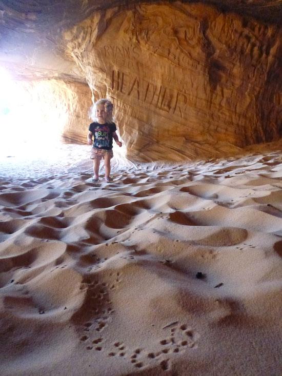
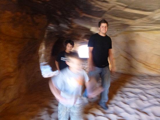
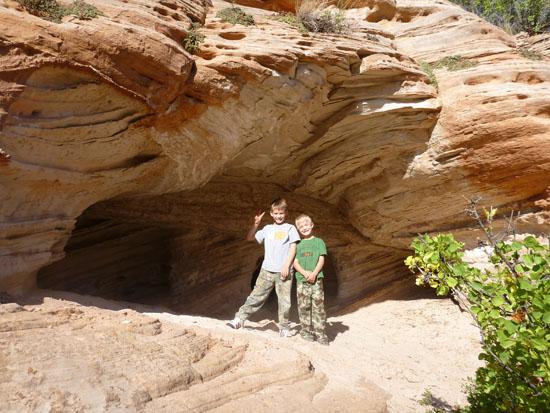
I dropped the group off at the caves on my way into Kanab to get gas and picked them up on the way back. They had a fun time exploring the tunnels and taking pictures.
 Hancock Road Primitive Camping
 South Fork Indian Canyon Pictographs
 Johnson Canyon Gunsmoke Movie Set
Johnson Canyon Pioneer Billboard
 Pipe Spring National Monument Visitor Center and Museum
Red Pueblo Museum and Heritage Park
Moccasin Mountain Dinosaur Tracksite
 Peekaboo Canyon aka Red Canyon
East Fork Virgin River Petroglyph Panel
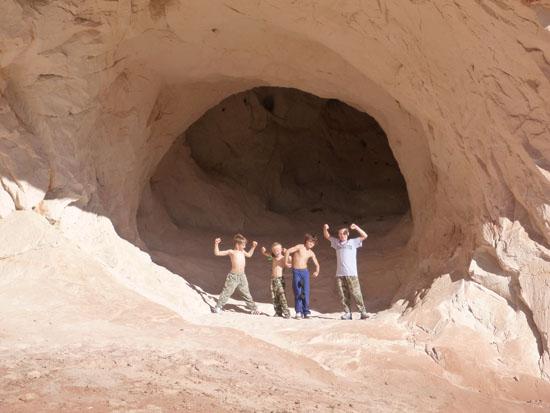
By Jeremy Dye
Tara Dye, Savannah Dye, Shawn Parker, Callie Parker, Aria Parker, Lillian Parker,
We split up into 2 group and half us went to Moqui Caverns while the other half went to Moqui Cave. Tara couldn't find her phone, so she didn't take any pictures.
Hancock Road Primitive Camping
South Fork Indian Canyon Pictographs
Johnson Canyon Gunsmoke Movie Set
Johnson Canyon Pioneer Billboard
Pipe Spring National Monument Visitor Center and Museum
Red Pueblo Museum and Heritage Park
Moccasin Mountain Dinosaur Tracksite
Peekaboo Canyon aka Red Canyon
East Fork Virgin River Petroglyph Panel
By Jeremy Dye
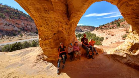
Jeremy Dye, Savannah Dye, Anthony Dye, Zac Dye, Extended Burnett Family,
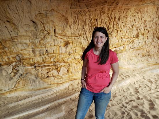
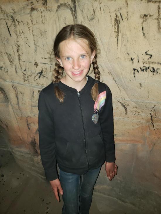
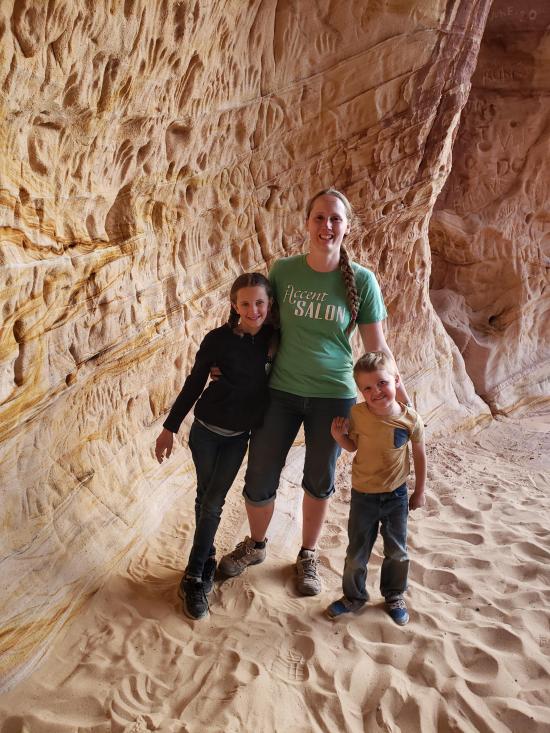
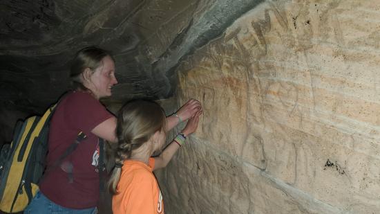
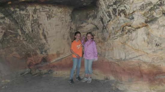
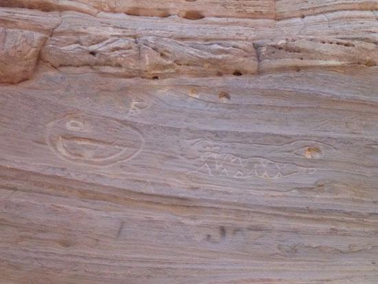
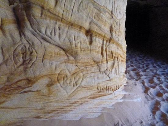
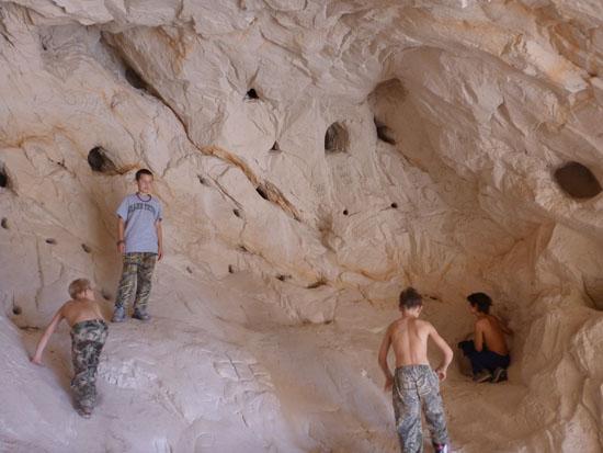
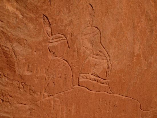
The entire area is covered with gringo glyphs because the sandstone is really soft and easy to carve.
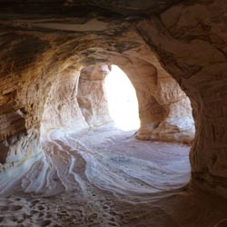
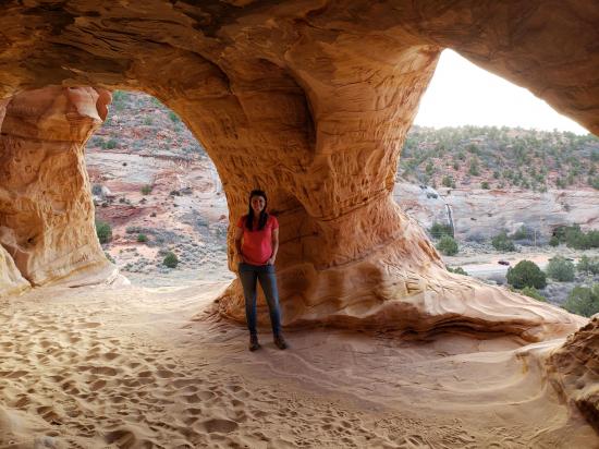
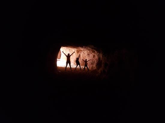
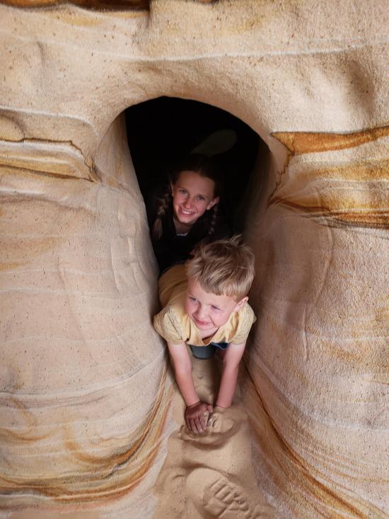
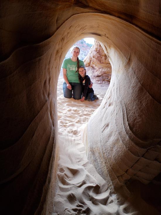
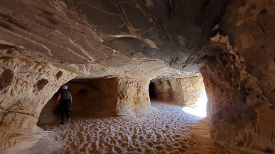
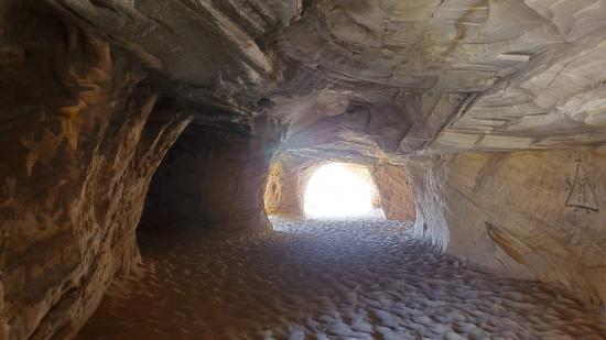
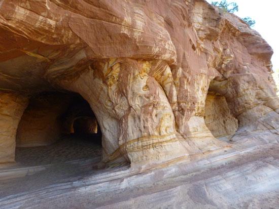
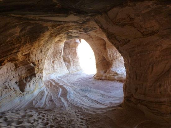
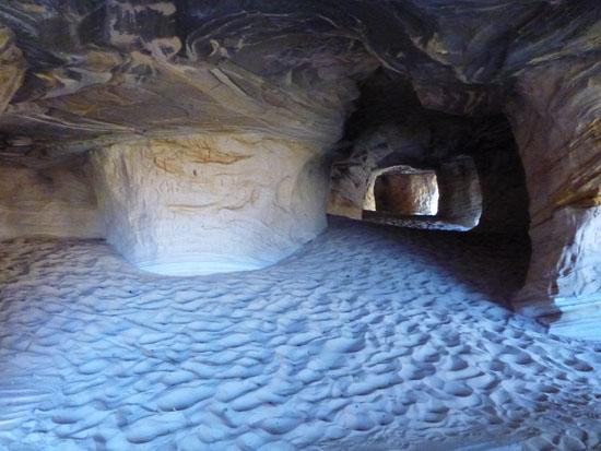
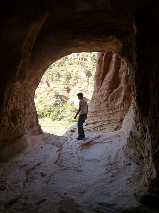
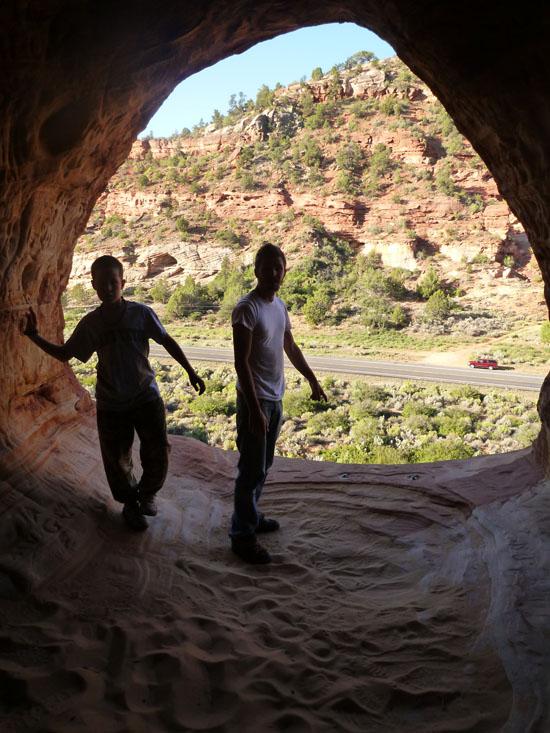
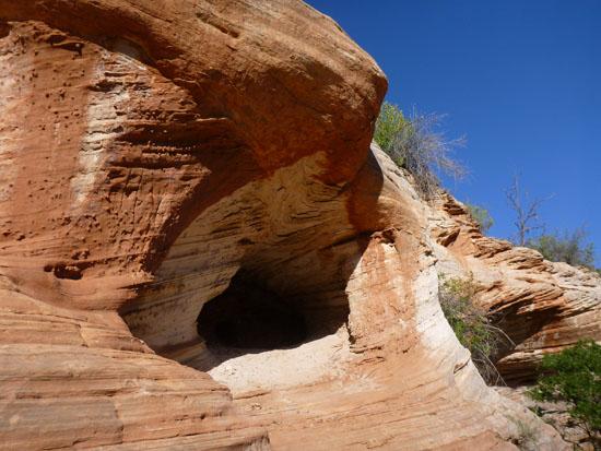
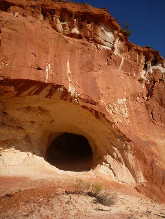
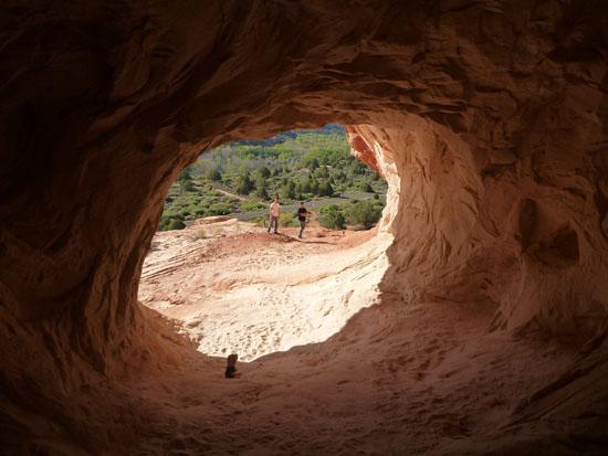
Moqui Caverns is basically a long tunnel with several windows looking out at the highway. Because of all the windows, it's not at all claustrophobic like some other caves. The last window has a couple of bolts in the floor. I suppose if you wanted to, you could rappel out the window down the cliff, but I wouldn't trust the bolts very much. Go back the way you came.
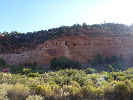
While we were in the area, we decided to look for more caves. The USGS topo map shows some caves at 37° 7'27.09"N, 112°34'2.99"W. We could see the caves from the highway, but they weren't very impressive.
The topo map also showed caves at 37° 6'40.76"N, 112°33'35.56"W, but there was a sign that said "sand caves are on private property, posted area ahead, private property, no trespassing".
The last cave on the topo map was at 37° 6'57.57"N, 112°32'56.63"W. It turns out there were actually 2 caves. The first was about 20 feet deep. The second cave was quite a bit bigger and sloped up. It was close to 40 feet deep. The back of the cave had several holes where it looked like someone was trying to dig.
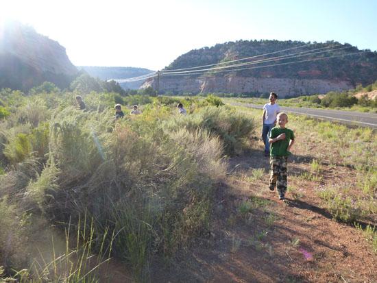
When we were hiking up to the cave, Anthony found a tire. He carried it to the top so he could throw it off the cliff.
Hancock Road Primitive Camping
Peekaboo Canyon aka Red Canyon
Coral Pink Sand Dunes State Park
East Fork Virgin River Petroglyph Panel
Johnson Canyon Gunsmoke Movie Set
Johnson Canyon Pioneer Billboard
Moccasin Mountain Dinosaur Tracksite
South Fork Indian Canyon Pictographs
 Caves
Caves