 Hiking | Brink of the Lower Falls Trail


Hype:
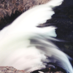
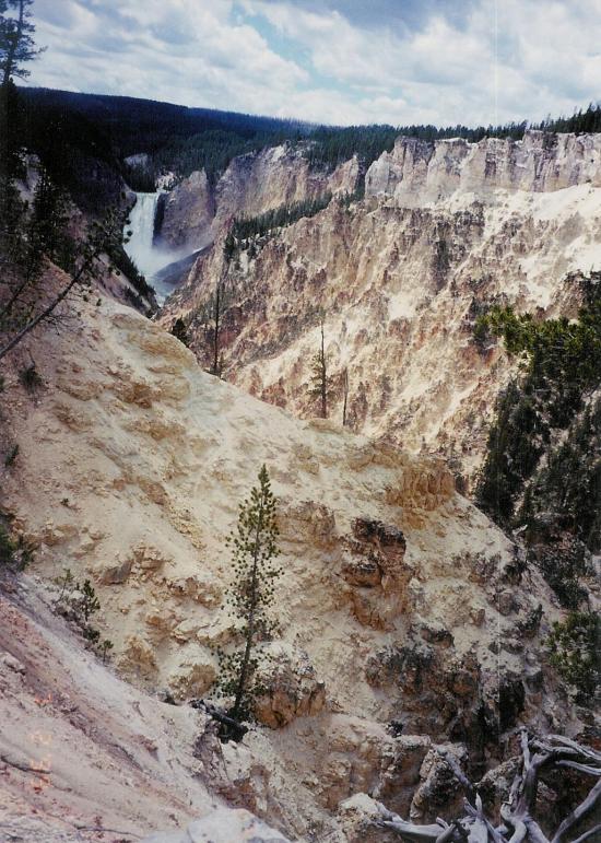
At Brink of Lower Falls, glimpse Lower Falls and Upper Falls from paved accessible trails at the top or descend the steep Brink Trail to witness the Lower Falls’ power.
Trail Condition: Class 2 (Trail may have tree roots or rocks jutting out. Navigation skills may consist of following rock cairns and choosing turns at junctions. Elevation gains may be more substantial.)
Time: 30-90 minutes
Length: 0.9 miles round trip
Elevation Gain: 300 ft
Fees: Entrance
Recommended Ages:
 | 0-3 |
 | 4-11 |
 | 12-19 |
 | 20-49 |
 | 50-69 |
 | 70+ |
Recommended Months to Visit:
| Jan |
| Feb |
| Mar |
| Apr |
| May |
| Jun |
| Jul |
| Aug |
| Sep |
| Oct |
| Nov |
| Dec |
Links: https://www.nps.gov/thingstodo/yell-grand-canyon-of-the-yellowstone.htm
Navigate to 44.719672, -110.497703.
Closest City or Region: Yellowstone National Park
Coordinates: 44.718203, -110.496318
By Jeremy Dye
Greg Dye, Laura Dye, Jeremy Dye, Anthony Dye, Ondylyn Wagner, Zac Dye, ,
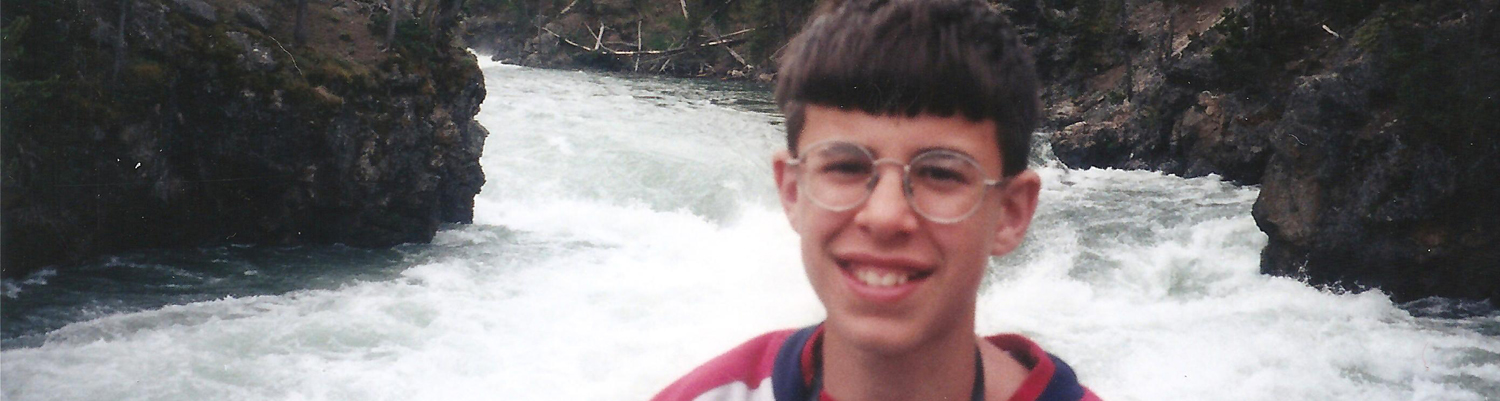
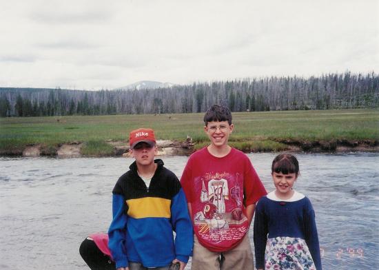
We went to Yellowstone as a family. We drove the loop and stopped at most of the overlooks and short hikes.
_550w.jpg)
_550w.jpg)
_550w.jpg)
_550w.jpg)
_550w.jpg)
_550w.jpg)
_550w.jpg)
_550w.jpg)
_550w.jpg)
_550w.jpg)
_550w.jpg)
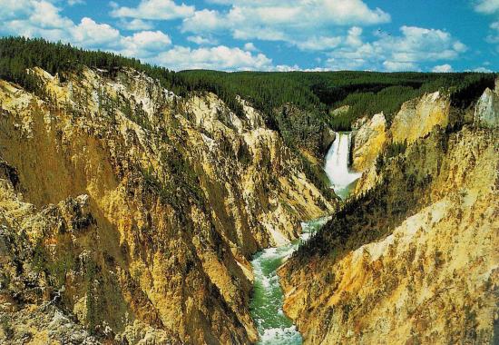
Brink of the Lower Falls Trail
 Hiking Trails
 Viewpoint, Overlooks, Vistas
 Waterfalls
 Rivers and Streams
 Mountains
 No Drinking Water
 Marked Trails
 Restrooms - Vault
 Road Access is Paved
 Access Road is 2WD Accessible
 Wildflowers and Vegitation
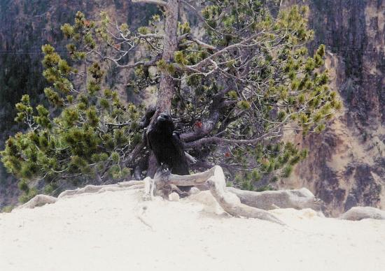
 Wildlife and Birding