 Fun Places | Malad Gorge


Hype:
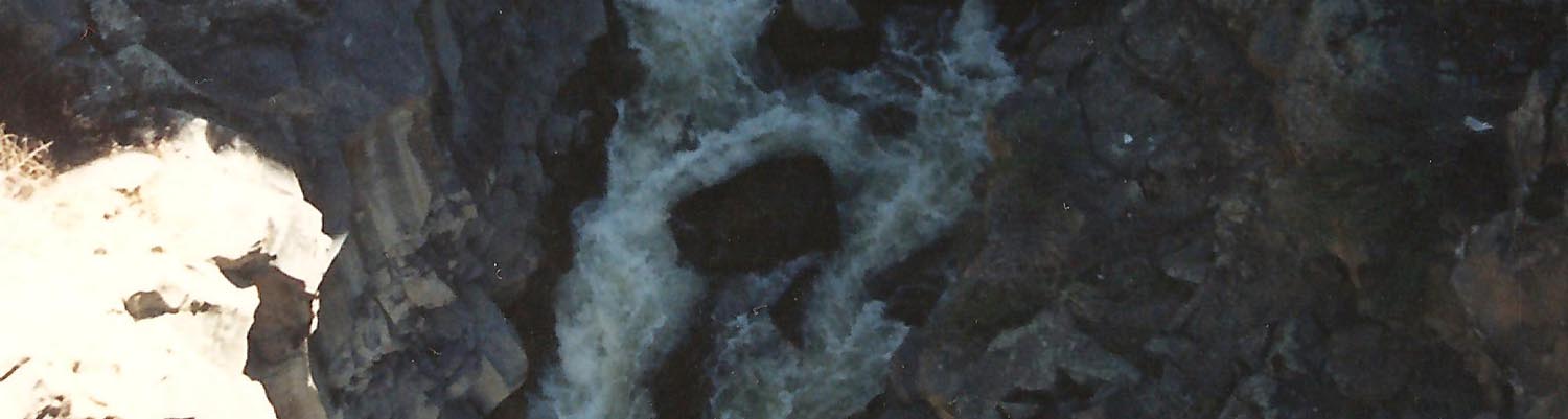
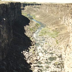
At Malad Gorge, located right off Interstate 84, you can view the canyon and walk along the rim. The highway crosses over Malad Gorge, but the angle of view hides the deep gorge where the river cascades into Devil’s Washbowl. Views of the gorge are best from the slender-but-sturdy bridge that arcs across the canyon. You can take a short hike to discover nearby fingers of the gorge where crystal clear springs produce ponds and streams. From the footbridge photographers delight in watching the interplay of light and shadows that consistently change the character of the craggy cliffs.
Time:
Fees: Parking
Recommended Ages:
 | 0-3 |
 | 4-11 |
 | 12-19 |
 | 20-49 |
 | 50-69 |
 | 70+ |
Recommended Months to Visit:
| Jan |
| Feb |
| Mar |
| Apr |
| May |
| Jun |
| Jul |
| Aug |
| Sep |
| Oct |
| Nov |
| Dec |
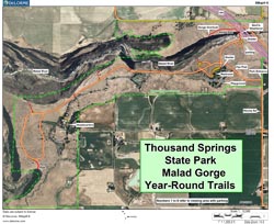
Links: parksandrecreation.idaho.gov
Navigate to 42.867408, -114.854146.
Closest City or Region: Thousand Springs State Park, Idaho
Coordinates: 42.867408, -114.854146
Closest City or Region: Thousand Springs State Park, Idaho
Coordinates: 42.867408, -114.854146
By Jeremy Dye
Greg Dye, Laura Dye, Jeremy Dye, Anthony Dye,
We stopped at Malad Gorge on the way to the Burnett family reuion in Pomerelle, ID.
_550w.jpg)
_550w.jpg)
_550w.jpg)
 Waterfalls
 Rivers and Streams
 Marked Trails
 Restrooms - Flush
 Road Access is Paved
 Access Road is 2WD Accessible
 Viewpoint, Overlooks, Vistas
 Interpretive Signs
 Hiking Trails