 Hiking | Coyote Trail


Hype:
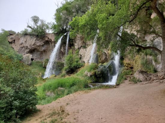
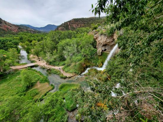
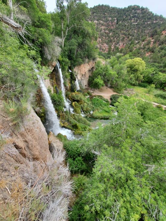
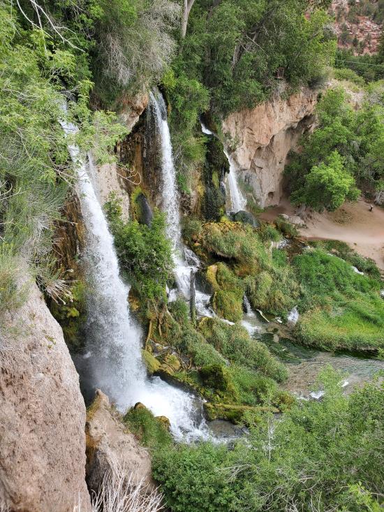
This trail gives you a breathtaking view of the falls from the base and from above, accesses limestone caves (bring your flashlights), and winds along Rifle Creek under the canopy of boxelder and cottonwood trees.
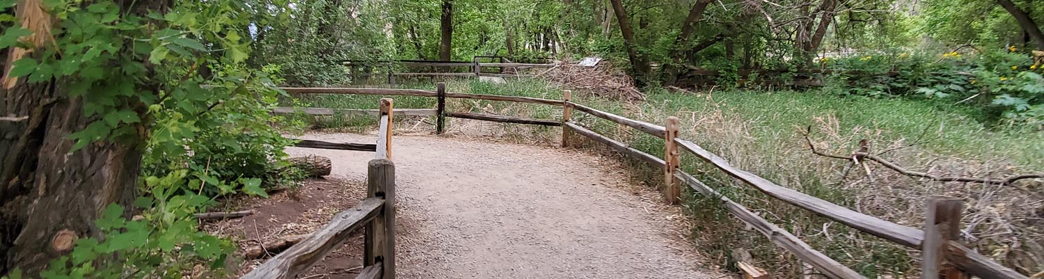
Trail Condition: Class 1 (Trail is either paved or gravel. Navigation skills are not needed because there is only one trail or because there are signs. Elevation gains are gradual or there are stairs.)
Time: 15-30 minutes
Length: 0.6 mile loop
Elevation Gain: 200 ft
Fees: Park Entrance
Recommended Ages:
 | 0-3 |
 | 4-11 |
 | 12-19 |
 | 20-49 |
 | 50-69 |
 | 70+ |
Recommended Months to Visit:
| Jan |
| Feb |
| Mar |
| Apr |
| May |
| Jun |
| Jul |
| Aug |
| Sep |
| Oct |
| Nov |
| Dec |
Links: https://cpw.state.co.us/placestogo/parks/RifleFalls/Pages/Trails.aspx
Navigate to 39.677313, -107.698391.
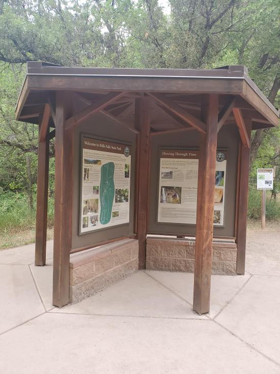
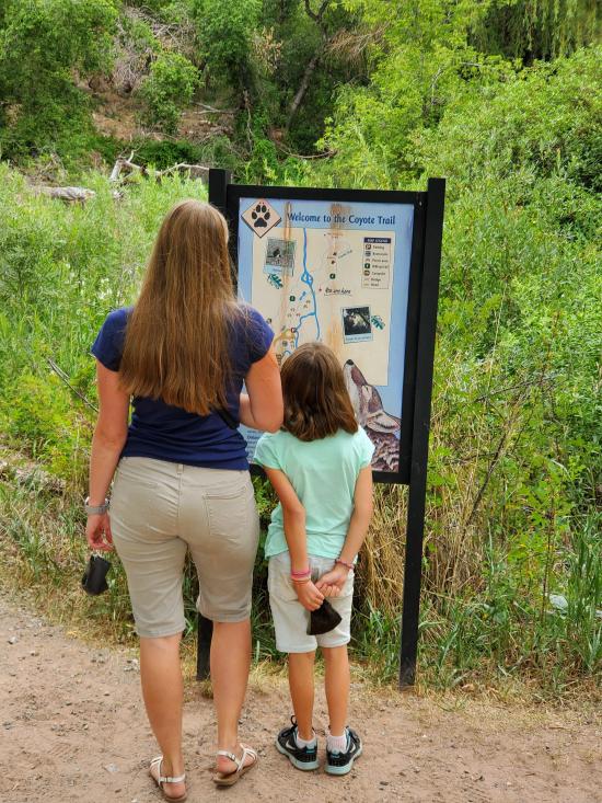
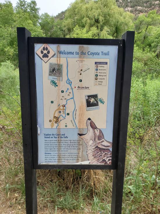
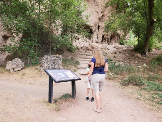
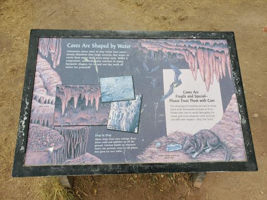
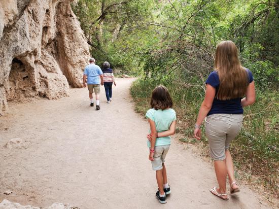
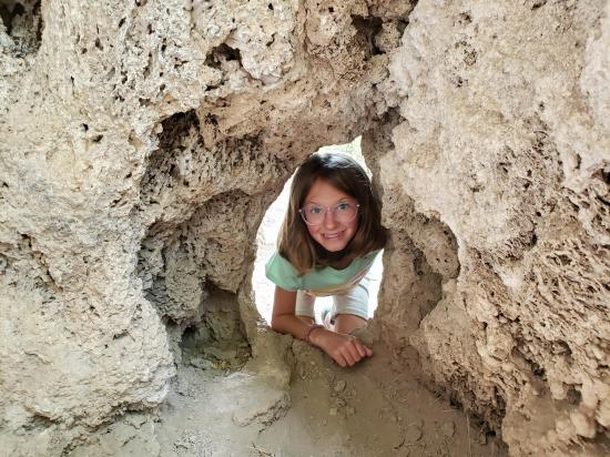
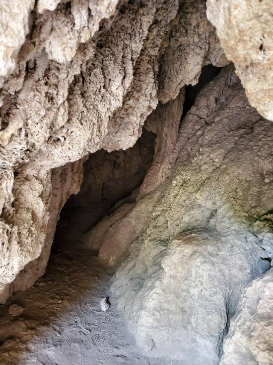
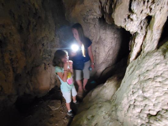
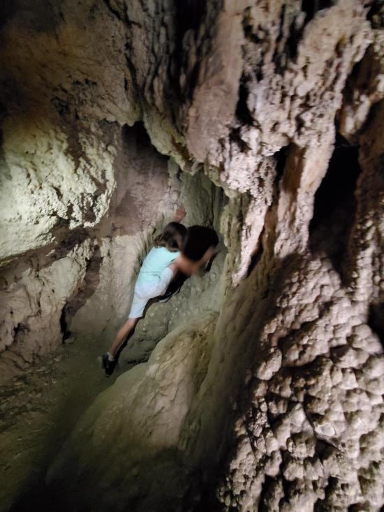
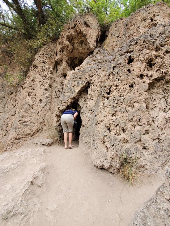
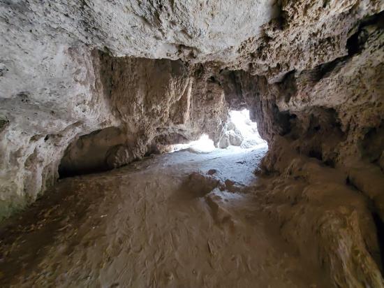
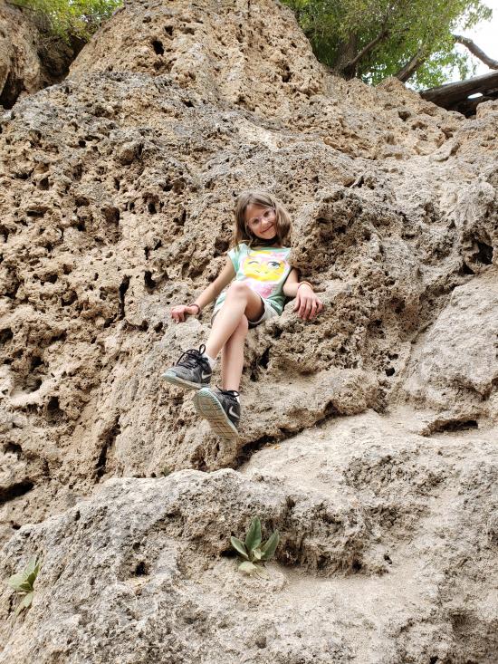
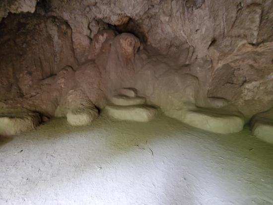
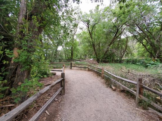
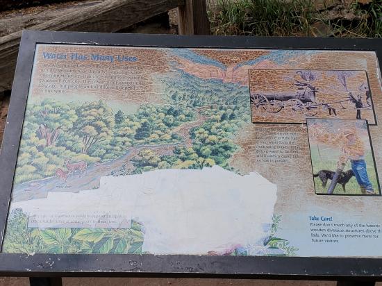
From the trailhead, head northeast. After a minute or so, you'll come to an interpretive sign and a good view of Rifle Falls. Continue northeast for a couple minutes to a couple of caves. The first cave is the largest in the park and has several rooms. The next cave is more of a rock shelter, but it has some unique benches cut into the walls.
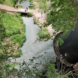
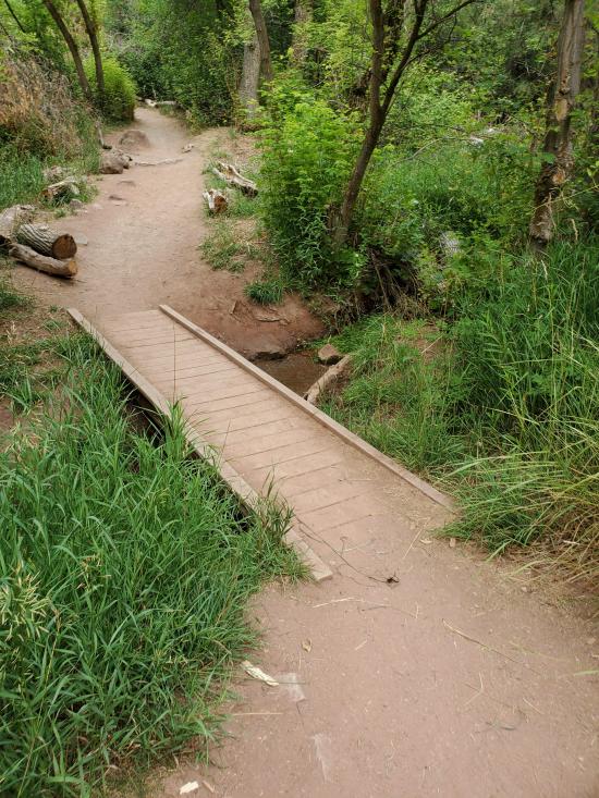
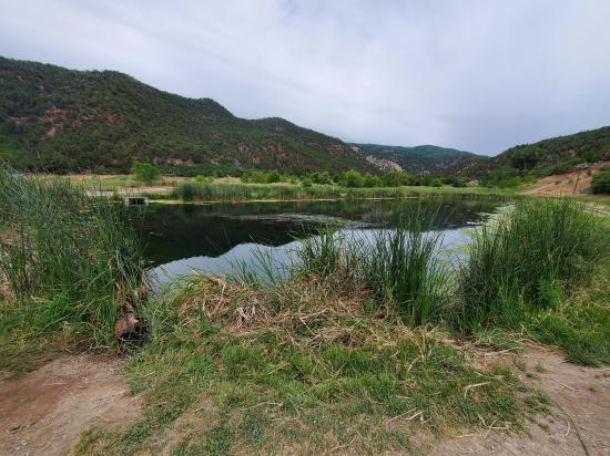
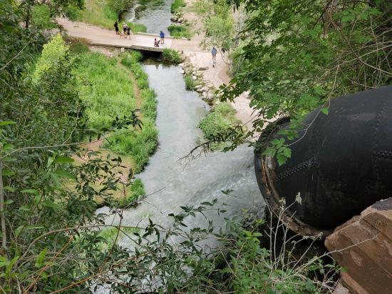
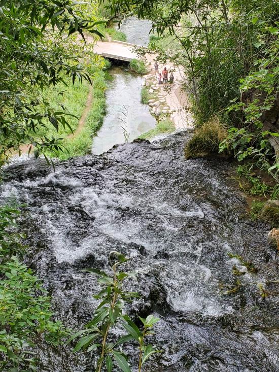
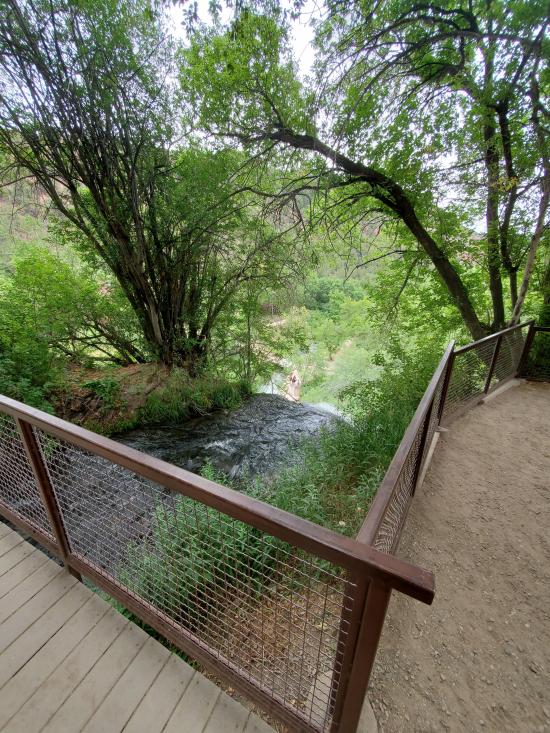
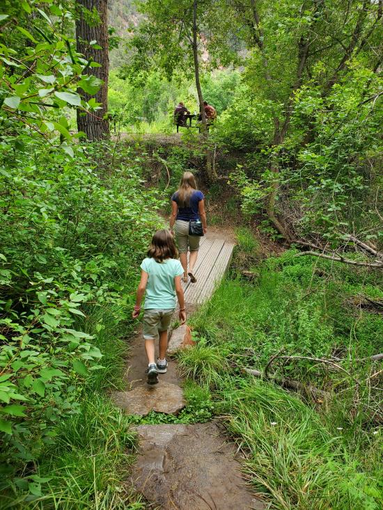
From the caves, head northeast. The trail soon crosses a small stream. Once you've gained enough elevation to get above the travertine dam, the trail turns to the west and passes a couple of fish ponds before turning south and heading to the top of Rifle Falls. At the top of Rifle Falls, there are some boardwalks that allow you to access right to the brink of two of the falls. The view is impressive although it's a little disappointing that the water is piped right to the edge of the falls.
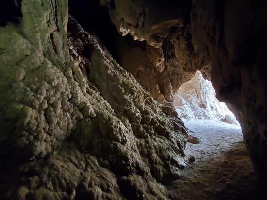
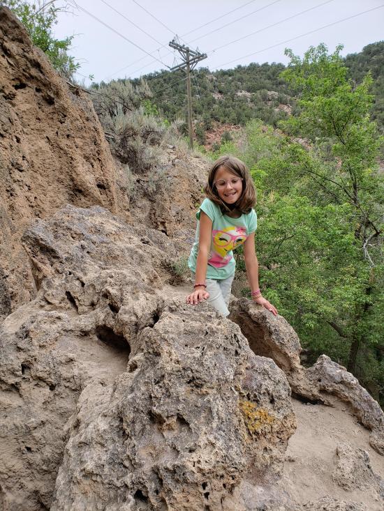
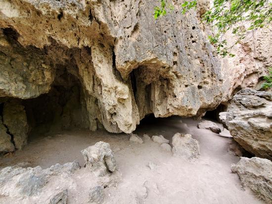
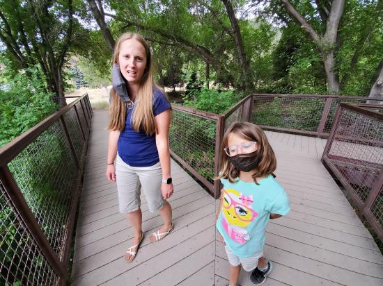
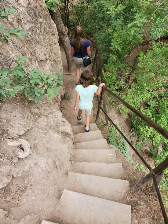
After you've enjoyed the falls from above, continue southwest along the cliff edge. If you're not terribly afraid of heights, make sure to walk out on the metal platform that extends out over the edge of the cliff. At the trail junction, you can head south to go straight to the parking area or go east (recommended). Going east, you'll descend a flight of stairs and then there are a couple of smaller caves near the base of the stairs. You can cross one of the footbridges to the east, but I highly suggest continueing northeast along the base of the cliffs until you get to the base of Rifle Falls. There are a couple more small caves and excellent view of the falls from behind the west waterfall, and then a short linking path will take you down to the main viewpoint at the base of Rifle Falls.
Enjoy the falls then take the main path south to the parking area.
Closest City or Region: Rifle Falls State Park, Colorado
Coordinates: 39.677313, -107.698391
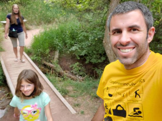
By Jeremy Dye
Jeremy Dye, Tara Dye, Savannah Dye,
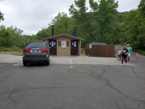
The first two cars in our group arrived at Rifle Falls State Park around 10:00, but the park was full. We didn't know what to do, so we pulled around to the other side of the street to wait for the last car in our group to arrive so we could figure out a plan. While we were waiting, the attendant let a car behind us into the park and then some people left, so we were able to get into the park. We parked and explored the caves a little bit while we were waiting for Ari's car to arive. Well, Ari's car didn't have quite the same experience as we did. The station attendant was a complete jerk to them. He told them the park was full and that they would have to come back later. While they were turning around, he let a different car that was behind them into the park. So they pulled around again to see if there was now an opening. The attendant wouldn't let them in and wouldn't let them wait across the street for an opening. They tried to explain that half of their group was already inside the park and that they needed to relay a message to us, but the attendant was not helpful in the least. They had the lunch cooler for the group in their car, but the attendant wouldn't let them bring the cooler down to us. He wouldn't even let one of them walk down to our car to leave a message on our windshield. Eventually, Jaren just ignored them and got out of the car and walked the cooler all the way down the road to us, despite their objections. We were completely dismayed at how horrible they treated the last car in our group and how they consistently (at least 5 times that we observed) let some cars into the park despite other cars arriving there first.
Ari, Miller, Ondy, Jaren, and Killian didn't get to participate with the rest of us. They headed to a city park instead. They were super bummed, but mostly just shocked at how rude the attendant was.
The rest of us enjoyed our visit to Rifle Falls. Savannah, Madi, and I explored the caves on the south end. Then we all took pictures in front of the falls. Mom, Dad, Madi, and Cooper waited at the picnic tables while Tara, Savannah, and I hiked the Coyote Trail. We enjoyed the north caves and the view of the falls from above. Then we all hopped back in the cars and drove to meet the rest of the group in Glenwood Springs.
 No Drinking Water
 Waterfalls
 Rivers and Streams
 Caves
Caves Marked Trails
 No Restrooms
 Road Access is Paved
 Access Road is 2WD Accessible
 Interpretive Signs
 Viewpoint, Overlooks, Vistas
 Hiking Trails
 Pets Allowed
 Wildflowers and Vegitation