 Hiking | Cohab Canyon Trail


Hype:
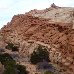
The Cohab Canyon trail starts across the street from the Fruita Campground in Capitol Reef National Park. It climbs about 300 feet to the head of the canyon then it's all downhill until you reach Highway 24 near the Hickman Bridge trailhead.
Trail Condition: Class 2 (Trail may have tree roots or rocks jutting out. Navigation skills may consist of following rock cairns and choosing turns at junctions. Elevation gains may be more substantial.)
Time: 1.5 hours
Length: 2.8 miles one way
Elevation Gain: 320 ft
Fees: None
Recommended Ages:
 | 0-3 |
 | 4-11 |
 | 12-19 |
 | 20-49 |
 | 50-69 |
 | 70+ |
Recommended Months to Visit:
| Jan |
| Feb |
| Mar |
| Apr |
| May |
| Jun |
| Jul |
| Aug |
| Sep |
| Oct |
| Nov |
| Dec |
Links: https://www.nps.gov/care/planyourvisit/trailguide.htm
Navigate to 38.282513, -111.246208.
Closest City or Region: Capitol Reef National Park, Utah
Coordinates: 38.282513, -111.246208
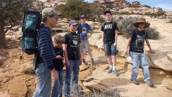
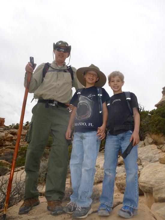
By Jeremy Dye
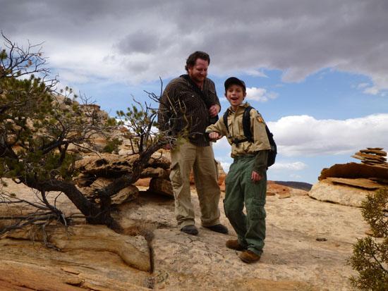
Jeremy Dye, Kevin, Matt, Joel, Mcquade, Sheldon, Canyon, Jace, Isaac, David, Jonathan,
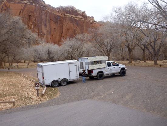
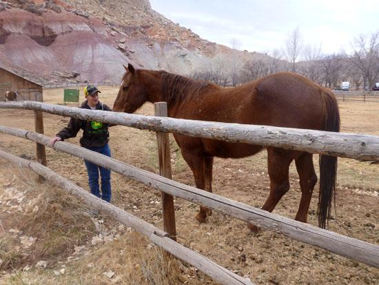
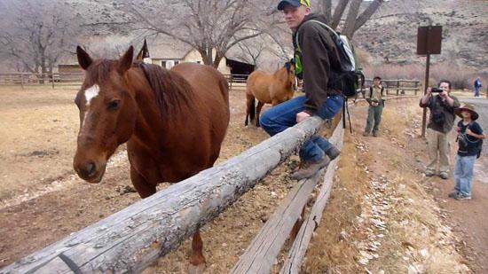
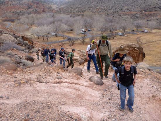
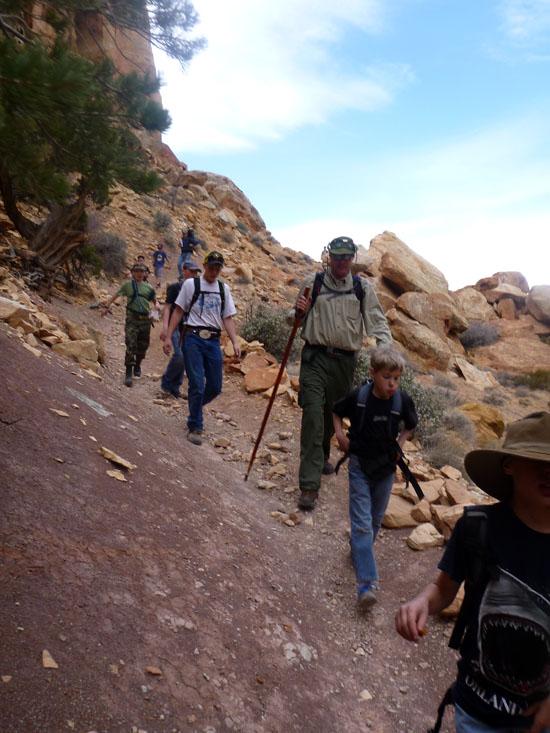
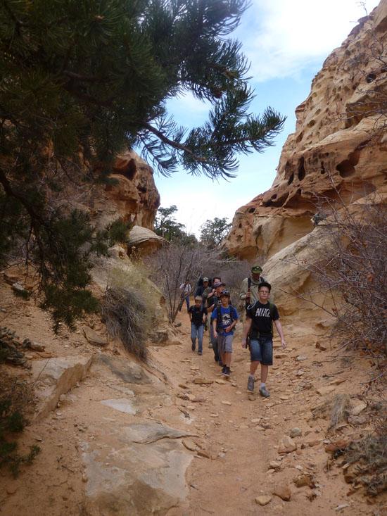
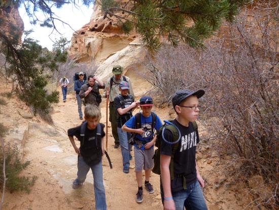
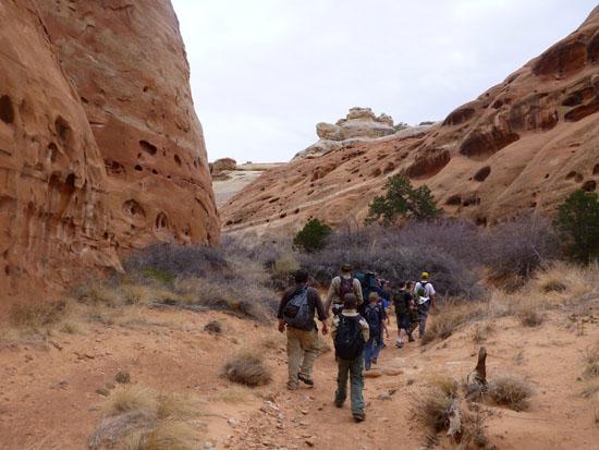
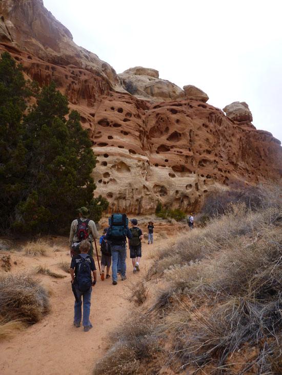
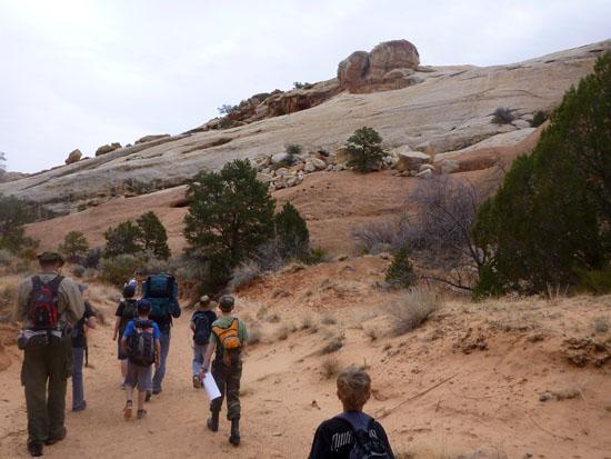
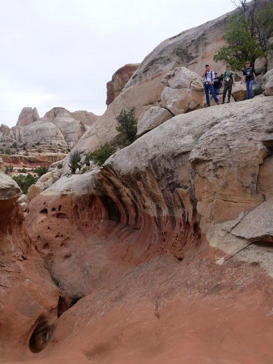
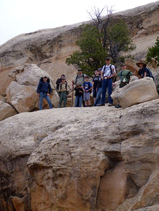
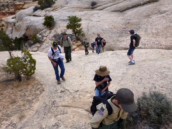
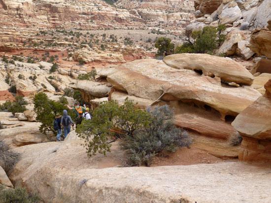
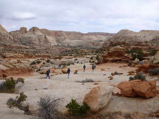
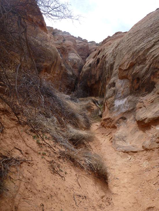
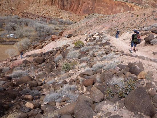
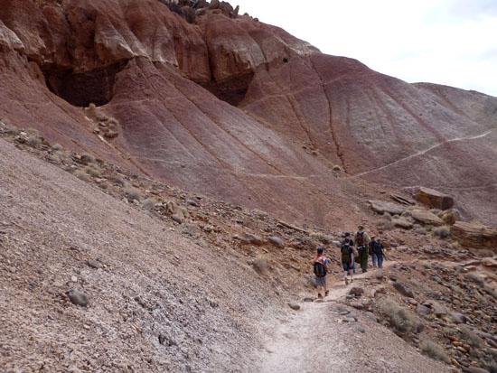
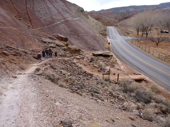
Troops 601 and 603 went to Capitol Reef for their March campout. We decided to hike up Cohab Canyon then take a side trail up the ridge to the South then descend the non-technical canyoneering route through TOTGA canyon. We were following Beta from bluugnome.com. Saturday morning we took down camp and drove over to the Historic Fruita Picnic Area parking lot to park.
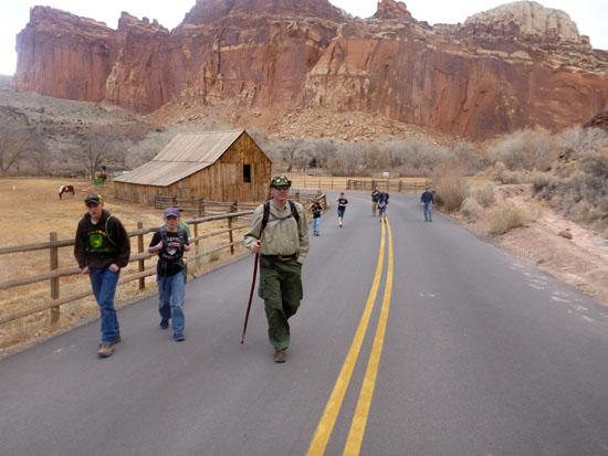
We hiked along the road for a little bit to get to the trailhead.
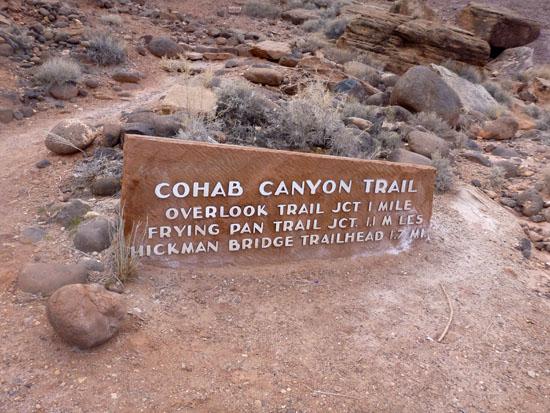
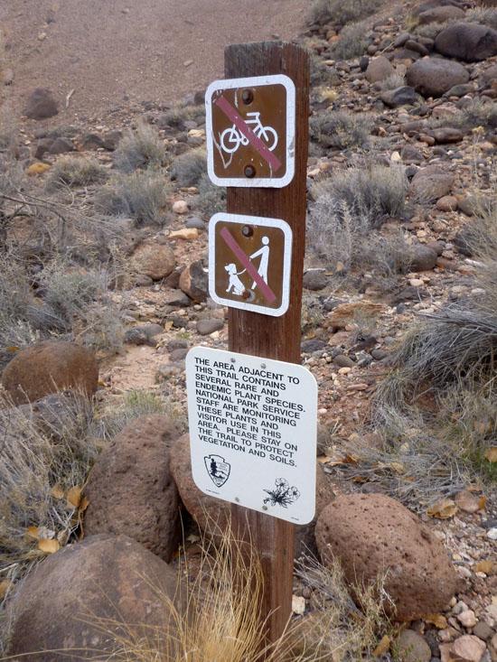
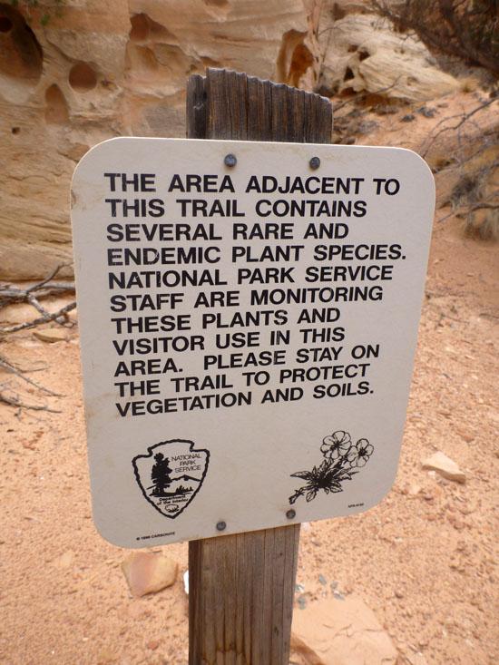
The sign at the trailhead reads:
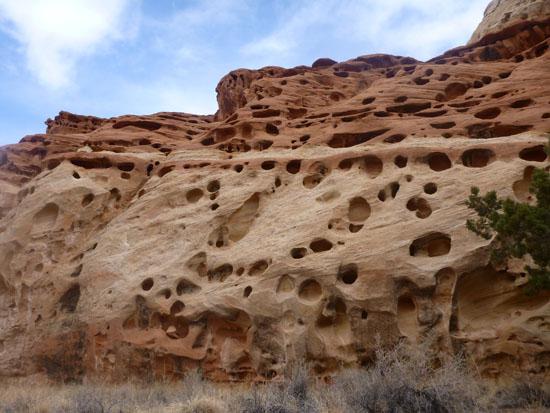
This area adjacent to this trail contains several rare and endemic plant species. National Park Service staff are monitoring these plants and visitor use in this area. Please stay on the trail to protect vegitation and soils.
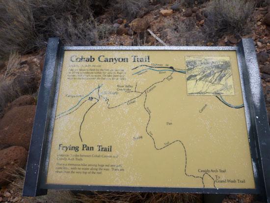
The interpretive sign reads:
Cohab Canyon Trail
Distance: 1 3/4 miles one way.
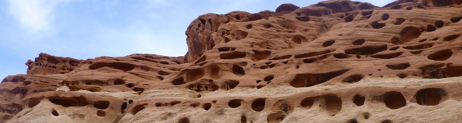
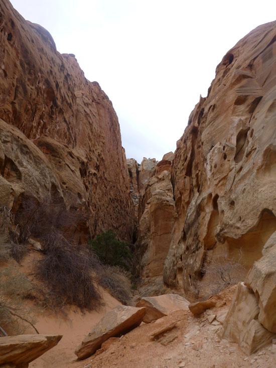
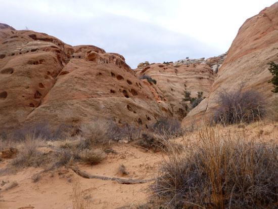
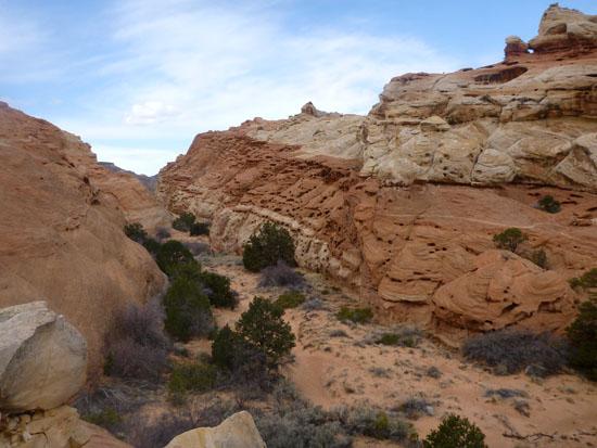
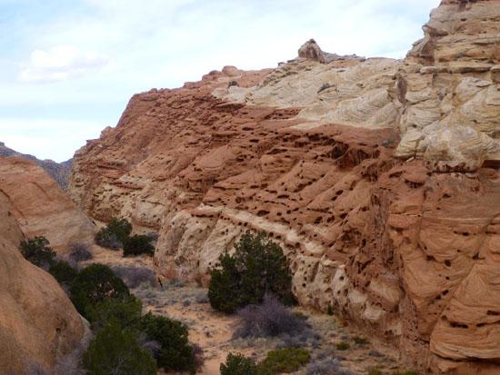
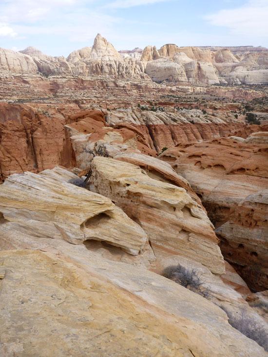
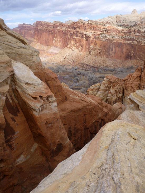
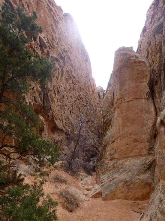
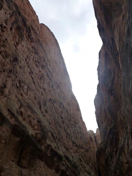
After a strenuous climb for the first quarter-mile the hiking is moderate within the canyon. Explore narrow, hidden side canyons. Or take short spur trails to overlooks above the Fremont River Valley.
Frying Pan Trail
Distance: 3 miles between Cohab Canyon and Cassidy Arch Trails.
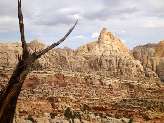
This is a strenuous hike among huge red and gold monoliths, with no water along the way. There are views from the very top of the reef.
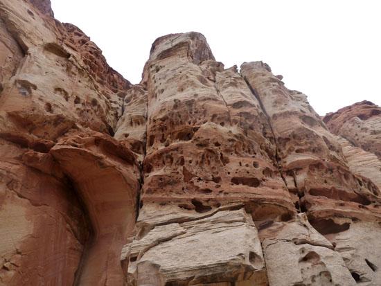
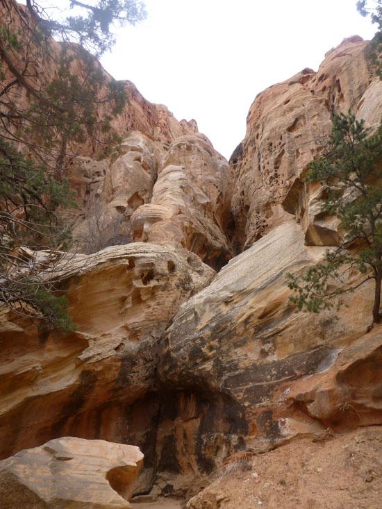
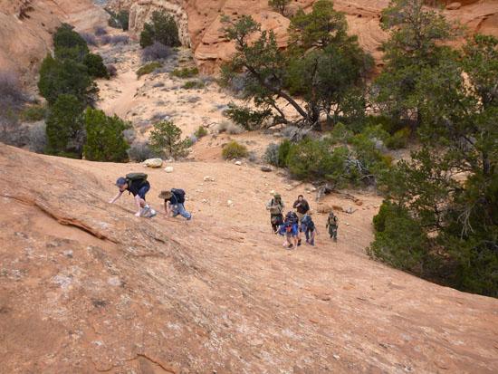
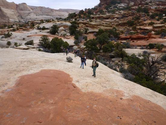
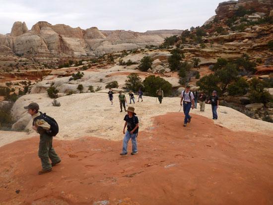
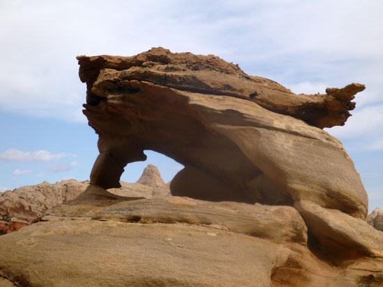
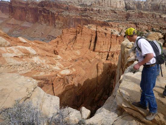
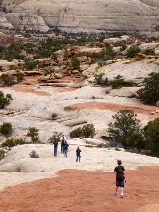
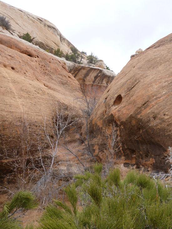
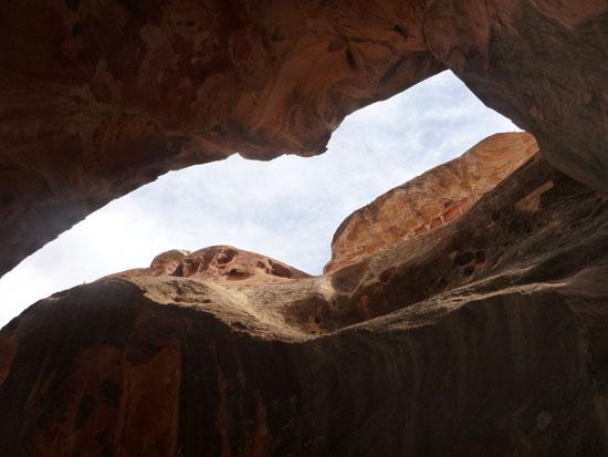
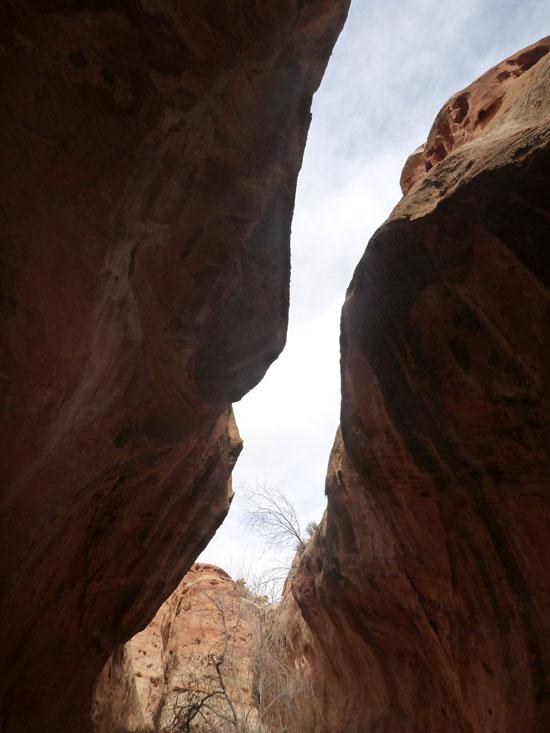
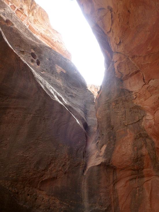
Once we made it to the bottom of Betrothed Canyon, we left the Cohab Canyon Trail and started up the side trail. We then climbed over slickrock and found our own way up to the ridge.
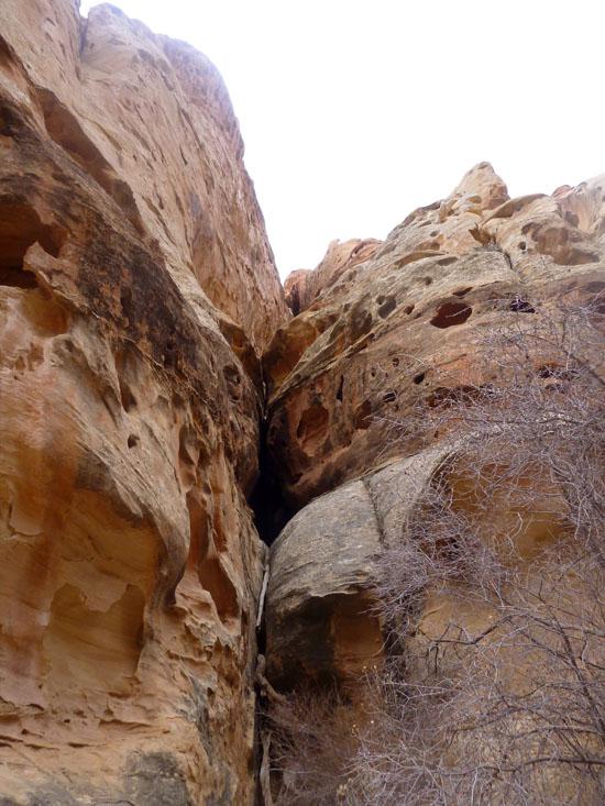
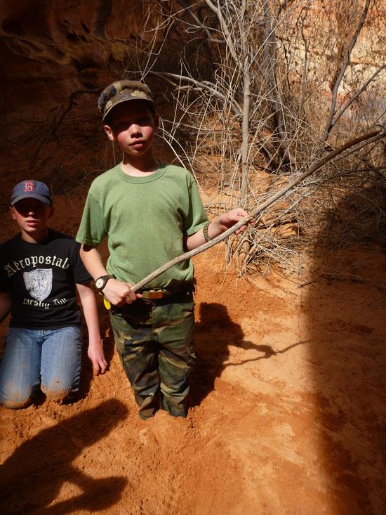
We got to the top of TOTGA at around 10:45 after about 1.5 hours of hiking. The beta we had said that TOTGA Canyon was completely down-climbable. However, the difficulty of the down-climbs was more than we wanted to take our scouts on. I tried several different approaches but couldn't find an easy one for the scouts. So we decided to skip TOTGA Canyon and hike back down the way we came up.
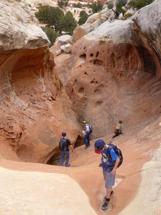
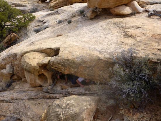
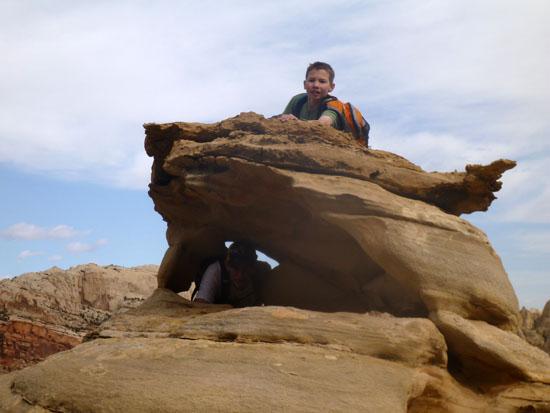
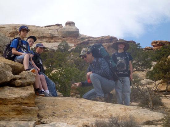
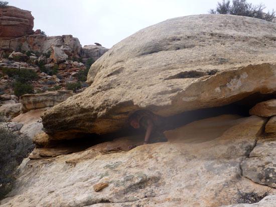
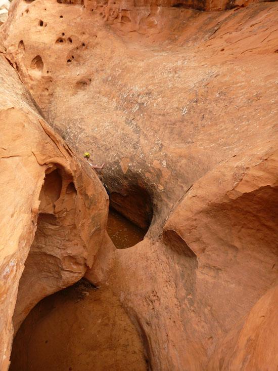
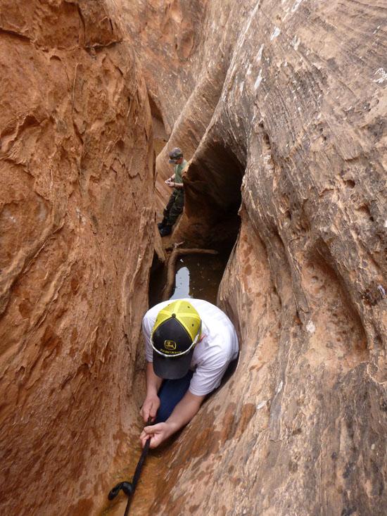
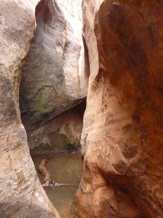
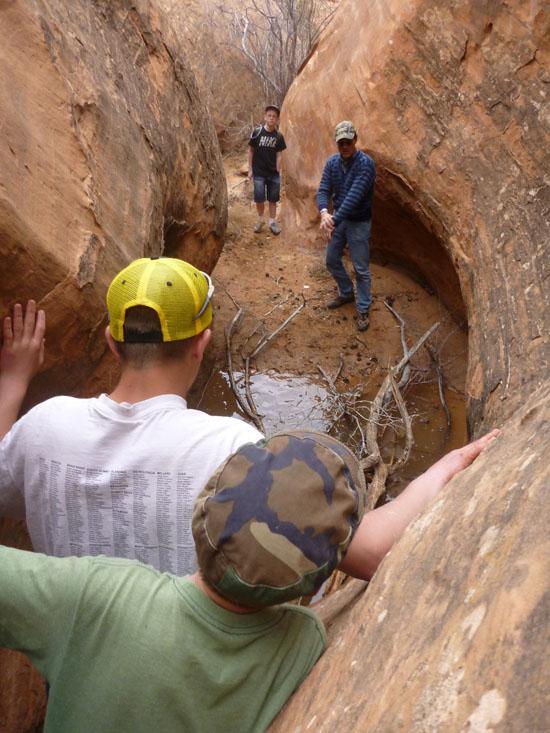
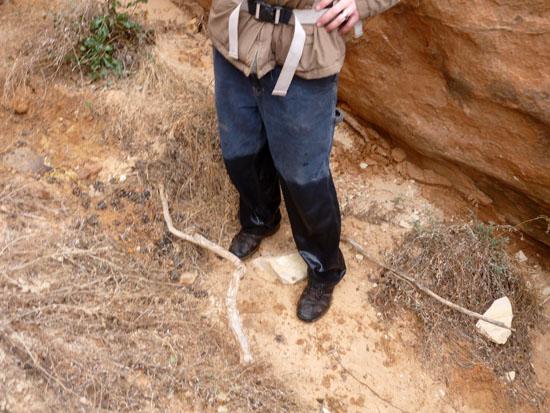
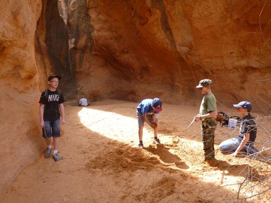
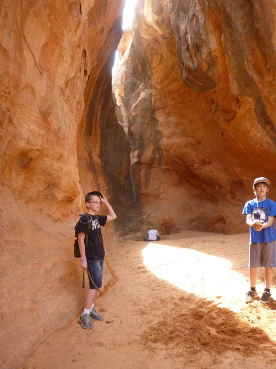
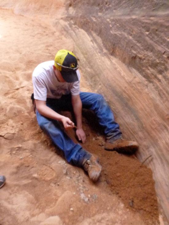
When we got back to Betrothed Canyon, several of the boys really wanted to explore it.
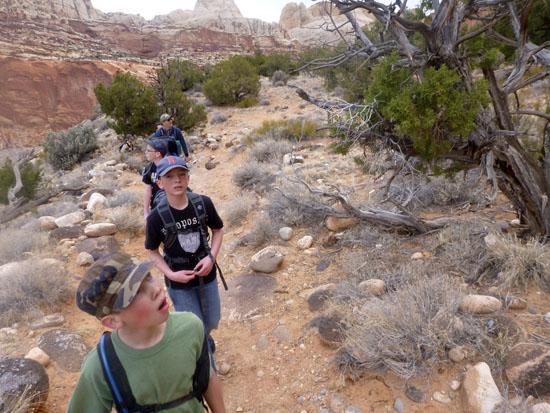
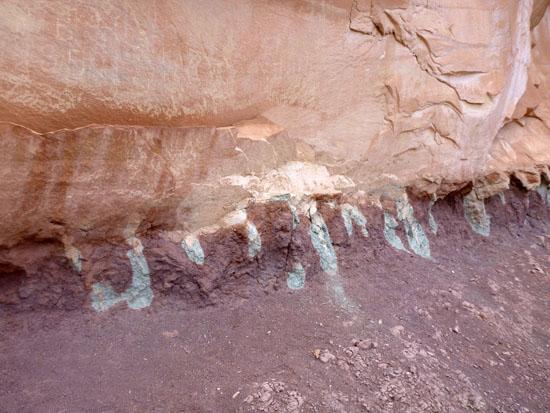
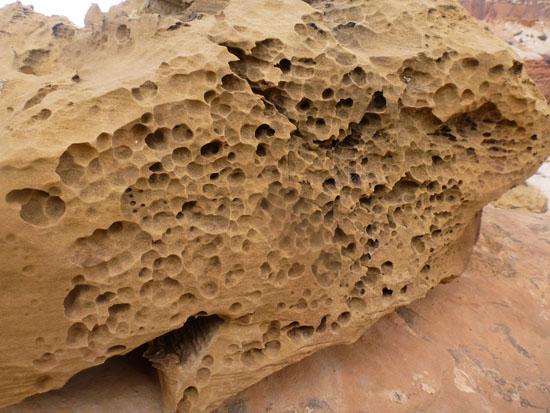
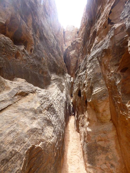
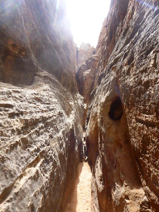
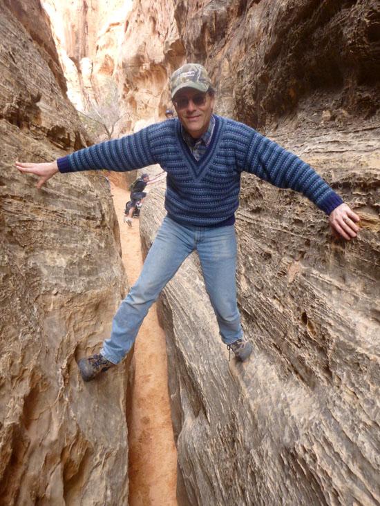
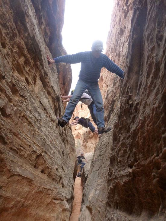
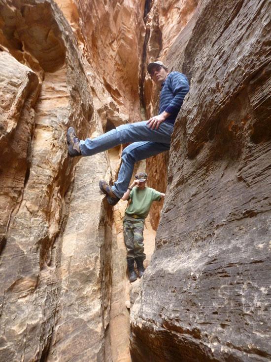
Then on the hike out, we explored a few of the side canyons. The boys played Hunger Games in Wife 5 for quite a while. Then we went and played around in Wife 4 for a while. The mouth of Wife 4 is quite narrow and fun to practice stemming and chimneying. After exploring for a while, we headed back.
Round trip time for the trip was 4 hours 45 minutes.


Halls Creek Alcove Primitive Camping
Sand Creek GWT Trailhead Primitive Camping
 Arches
 No Drinking Water
 Slot Canyon
 Mountains
 Marked Trails
 No Restrooms
 Road Access is Paved
 Access Road is 2WD Accessible
 Viewpoint, Overlooks, Vistas
 Hiking Trails
 Wildflowers and Vegitation
 Wildlife and Birding