 Hiking | Loop Hike from Puffer Lake around Lake Peak


Hype:
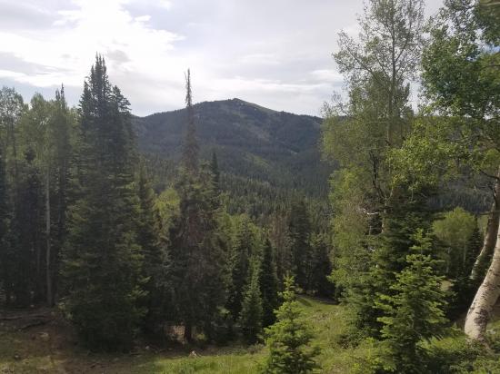
There is no specific destination with this hike; it is just a great walk through some scenic sections of forest and mountains.
Trail Condition: Class 2 (Trail may have tree roots or rocks jutting out. Navigation skills may consist of following rock cairns and choosing turns at junctions. Elevation gains may be more substantial.)
Time: 3-4 hours
Length: 6.31 mile loop
Elevation Gain: 1900 ft
Fees: None
Recommended Ages:
 | 0-3 |
 | 4-11 |
 | 12-19 |
 | 20-49 |
 | 50-69 |
 | 70+ |
Recommended Months to Visit:
| Jan |
| Feb |
| Mar |
| Apr |
| May |
| Jun |
| Jul |
| Aug |
| Sep |
| Oct |
| Nov |
| Dec |
Navigate to 38.320868, -112.362644.
Park in the dirt parking area on the south side of the road.
This description is for a clockwise loop hike starting at Puffer Lake.
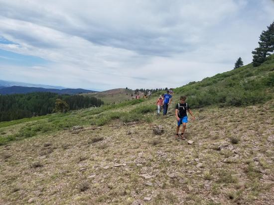
From the parking area and trailhead start hiking north on Forest Service trail 175 | Puffer Lake - Skyline. The trail can be a bit hard to find at first because there is a little dead-end spur that is misleading. You'll know it if your'e on the right trail. Over the first mile or so, you'll gain a lot of elevation very quickly.
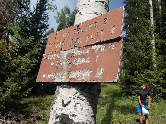
At the first junction, continue north. After a while you'll reach the top of a ridge where you can look down to the west and see Eagle Point Ski Resort. You'll reach a road with some underground utilities. Don't follow the road. Instead, follow the foot trail northeast. Continue north up the ridge and through a large grove of trees.
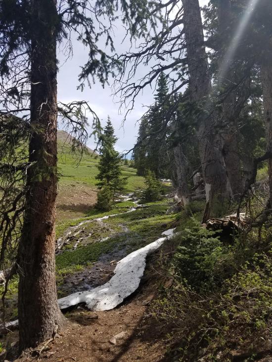
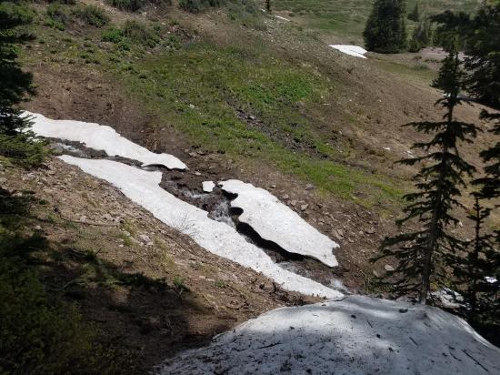
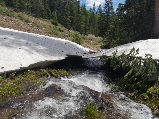
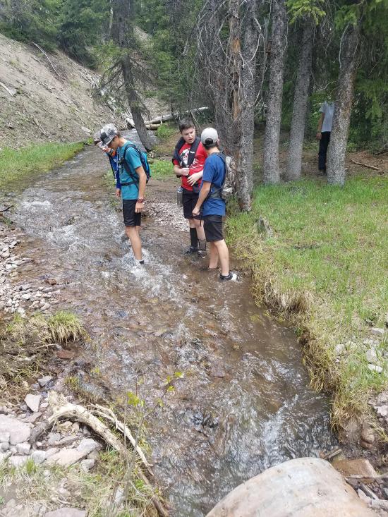
After about 2 miles, you will a stream crossing. This is North Fork Three Creeks. This is where things get tricky. The trail mostly disappears here. You can follow the GPS track, which will take you up to 225 | Skyline National Recreation Trail, or you can just hike straight north up the hill until you reach teh obvious trail. This is a bit shorter but steeper.
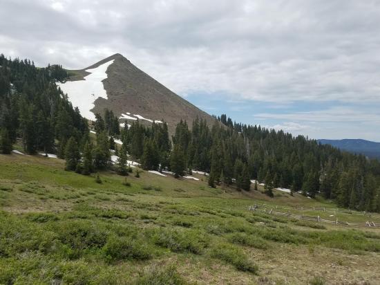
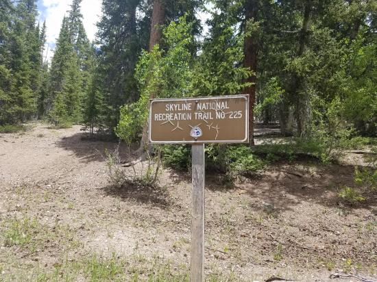
Once on 225 | Skyline National Recreation Trail, start hiking east. This will take you around the bowl and eventually take you up to the sadde. From here it would be just a short detour to hike up to Lake Peak if you want to. At the saddle, there is quite a bit of snow, even late in the year, so the trail may not be visible. If you can't find the trail, just hike southeast to the bottom of the ravine. Be careful to avoid the wetlands that are due east of the saddle. They are quite a slog!
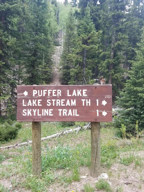
At the third junction, continue south-southeast on 225A | Skyline Link. In short time you'll reach the Lake Stream Trailhead.
From Lake Stream Trailhead, the rest of the hike is on dirt roads. Walk down 4042 - Lakestream Road until you get to a fork in the road. Take the right fork, PST29 | Rigger to Puffer Lake and follow the road back to your cars.
Closest City or Region: Fishlake National Forest, Utah
Coordinates: 38.320868, -112.362644
By Jeremy Dye
Jeremy Dye, Spanish Fork Utah River Stake Young Men,
Start: 10:00 a.m.
End: 2:30 p.m.
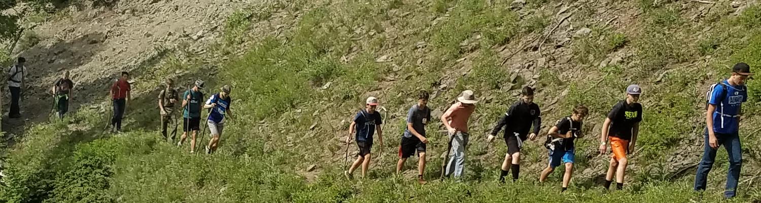
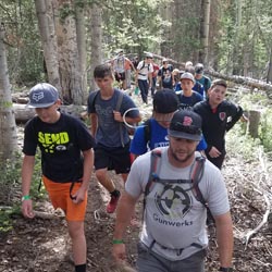
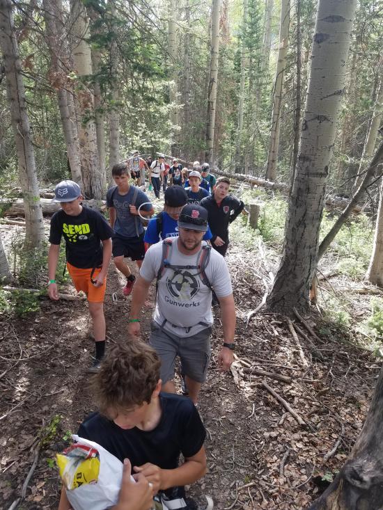
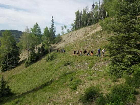
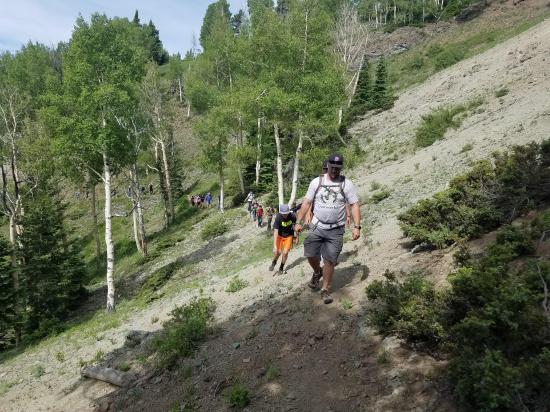
We took the young men on a hike. We had a huge group of close to 50 people, and we went the speed of the slowest person, so it took quite a while. I led the group because I was the only one that had offline maps loaded on my phone. We lost the trail in several spots because either there was no trail, the trail was under snow, or it was just marsh. We had a lot of fun sliding down the snow drifts. The boys jumped on and collapsed a snow bridge over the stream. We slogged through muck for a mile. It was great.
Monroe Canyon First Lefthand Fork Primitive Camping 1
Monroe Canyon First Lefthand Fork Primitive Camping 2
Oak Creek Recreation Site / Campground
Sand Creek GWT Trailhead Primitive Camping
Sheep Valley Primitive Camping
Upper Box Creek Reservoir Camping
Loop Hike from Puffer Lake around Lake Peak
Paddling Upper Box Creek Reservoir
 Rivers and Streams
 Mountains
 Lakes and Reservoirs
 Wayfinding
 Marked Trails
 Restrooms - Vault
 Road Access is Dirt - Low Clearance
 Access Road is 2WD Accessible
 Hiking Trails
 Wildflowers and Vegitation
 Wildlife and Birding