 Hiking | Tony Grove Nature Trail


Hype:
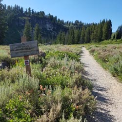
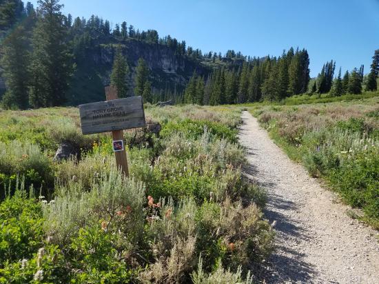
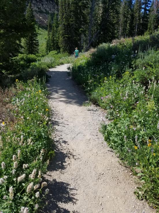
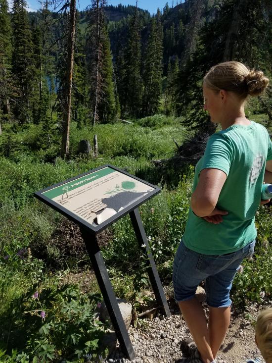
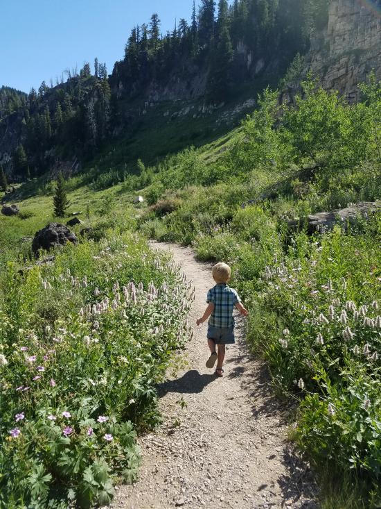
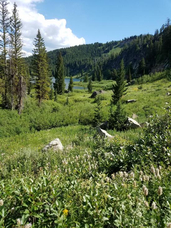
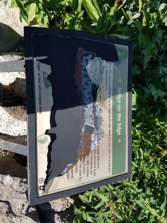
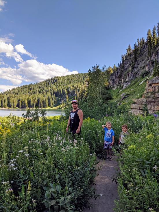
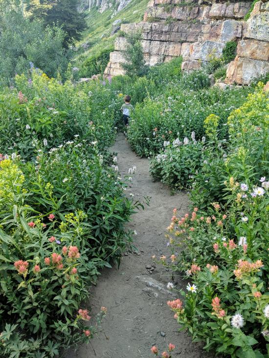
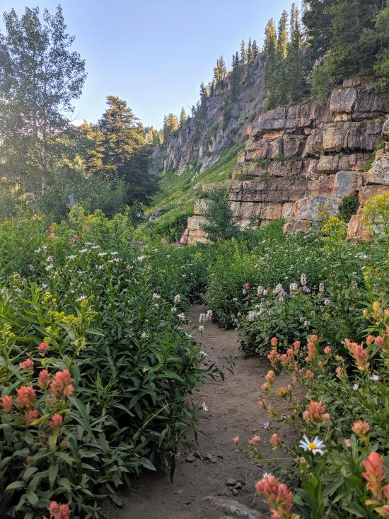
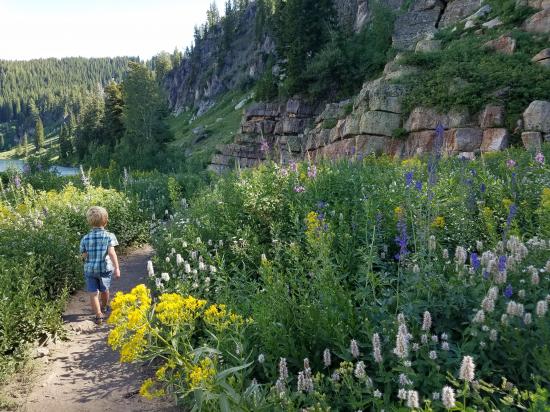
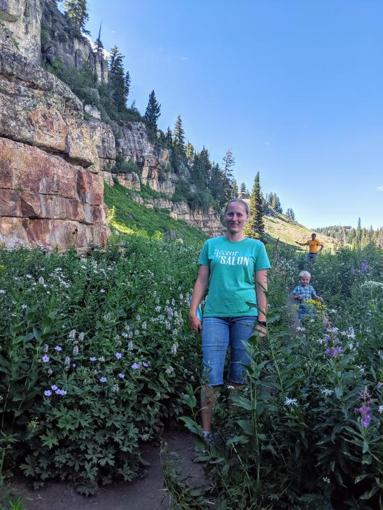
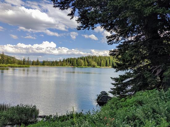
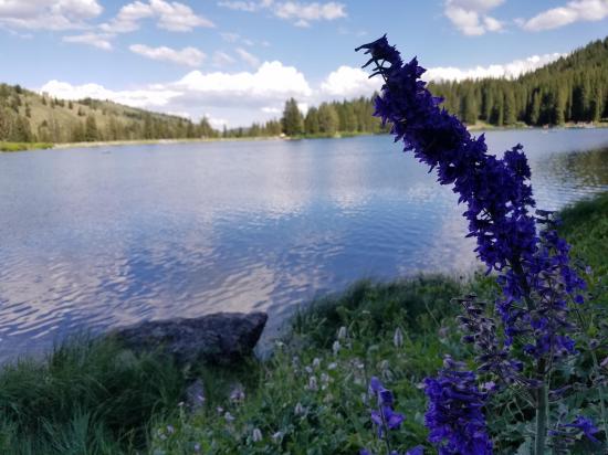
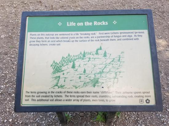
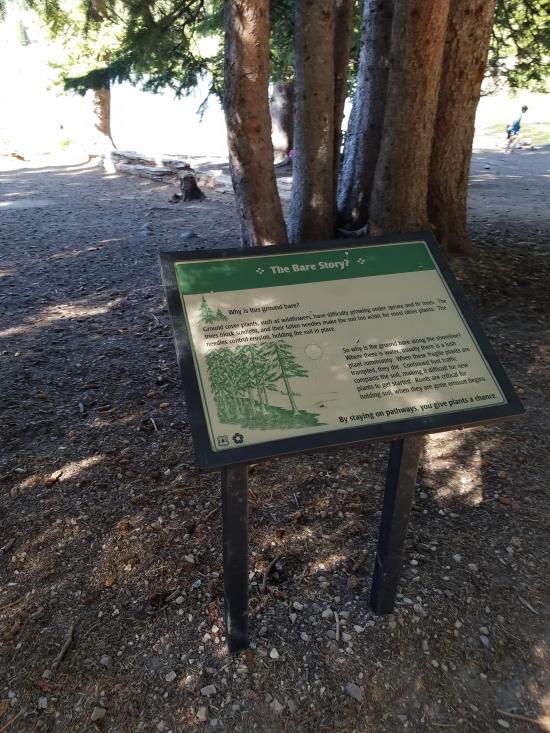
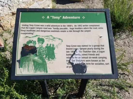
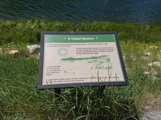
The Tony Grove Nature Trail is a 1.2-mile loop around scenic Tony Grove Lake in Logan Canyon. Aside from a few short rocky sections this trail is suitable for hikers of all ages and abilities. Highlights include fantastic views of Tony Grove Lake wildflowers and interpretive signage highlighting the history and native flora and fauna of the area.
Trail Condition: Class 1 (Trail is either paved or gravel. Navigation skills are not needed because there is only one trail or because there are signs. Elevation gains are gradual or there are stairs.)
Time: 30-45 minutes
Length: 1.2 mile loop
Elevation Gain: Negligible
Fees: Fee per vehicle. America the Beautiful pass is accepted.
Recommended Ages:
 | 0-3 |
 | 4-11 |
 | 12-19 |
 | 20-49 |
 | 50-69 |
 | 70+ |
Recommended Months to Visit:
| Jan |
| Feb |
| Mar |
| Apr |
| May |
| Jun |
| Jul |
| Aug |
| Sep |
| Oct |
| Nov |
| Dec |
Links: https://www.fs.usda.gov/recarea/uwcnf/recreation/recarea/?recid=9752&actid=50
Navigate to 41.895095, -111.642077.
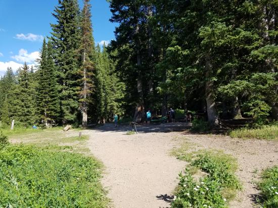
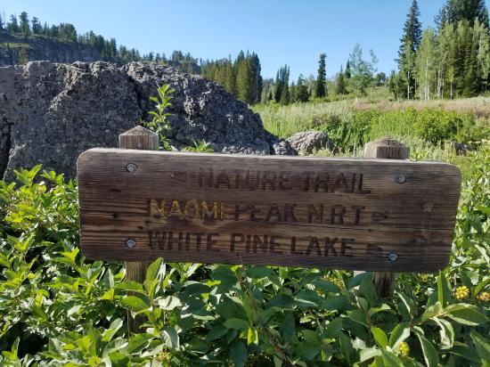
From the parking area, Tony Grove Lake is visible to the southwest. You can choose to hike the loop in either direction. For this guide, begin hiking north on the signed Nature Trail at the northwest side of the parking area. Two trails begin here. The trail on the right travels to White Pine Lake and Mount Naomi, while the marked trail on the left circles Tony Grove Lake on the Nature Trail.
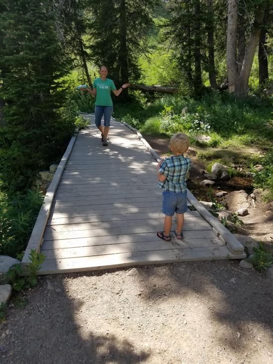
Continue hiking as the trail travels north around the inlet to Tony Grove Lake passing through wildflowers and forests. Boardwalks make it possible to avoid some of the marshy areas along this part of the hike.
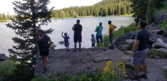
Soon the trail reaches the northern inlet and turns south. Continue hiking along the west shoreline. Those wanting to fish or swim will find easy access to the water throughout the hike. Or, if you just want to sit and take in the scenery, several rustic benches are located along the trail.
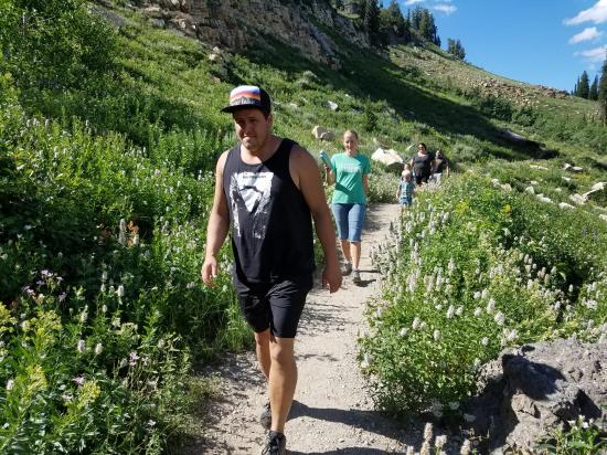
On the south end of the lake, the trail widens from a narrow, rocky hiking path to a wide, gravel path before ending back at the parking area where you started.
Closest City or Region: Logan Canyon, Utah
Coordinates: 41.895168, -111.642661
By Jeremy Dye
Jeremy Dye, Tara Dye, Cooper Dye, Anthony Dye, Miller Dye, Ondylyn Wagner, Jaren Wagner, Killian Wagner, Emerson Dye,
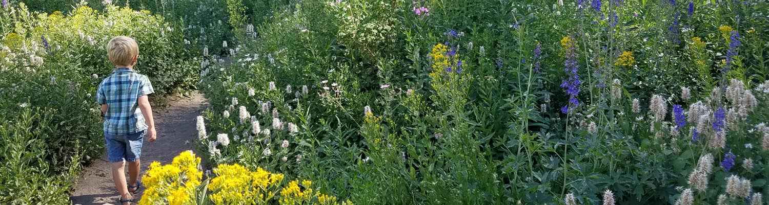
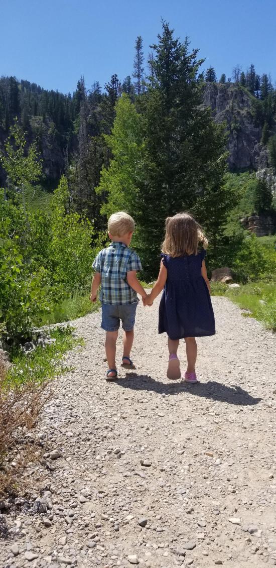
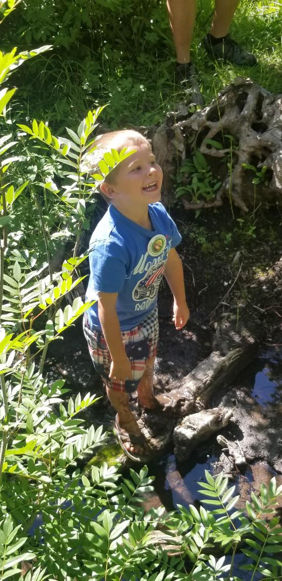
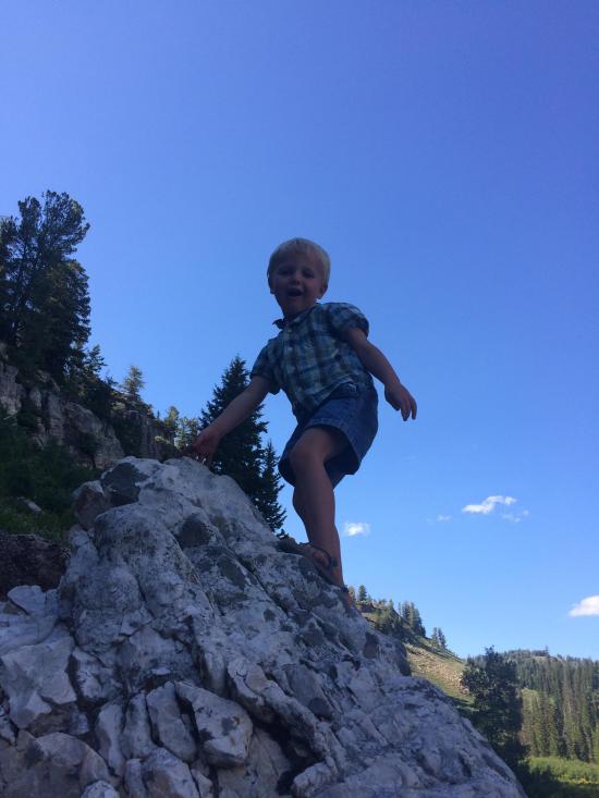
We started the hike from the picnic area, which is a major mistake. Instead of taking the well-maintained gravel path around the lake, we took a marshy, wooded, swampy not-really-a-path. Eventually we got in pretty deep and headed for high ground, where we intersected the real trail. Once we were on the real trail, it was a lot easier walking. We had a bunch of small kids with us, so we took it slow. We stopped on the west side of the lake for a while and threw rocks. The wildflowers were out in full force, and we tried to take a picture of each type of flower.

 Logan Ranger District Visitor Information Center
 Hiking Trails
 Walking Trails
 Lakes and Reservoirs
 Mountains
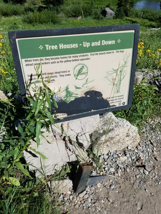
 Interpretive Signs
 No Drinking Water
 No Fires
 Marked Trails
 Picnic Tables
 No Restrooms
 Road Access is Paved
 Access Road is 2WD Accessible
 Wildflowers and Vegitation
 Wildlife and Birding


