 Hiking | Rattlesnake Creek Trail to Ashdown Gorge


Hype:
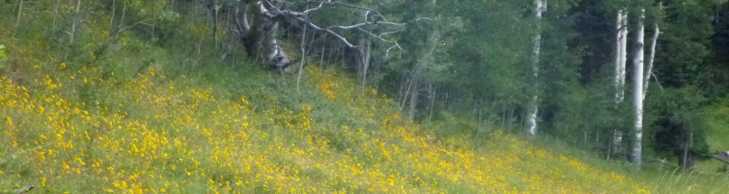
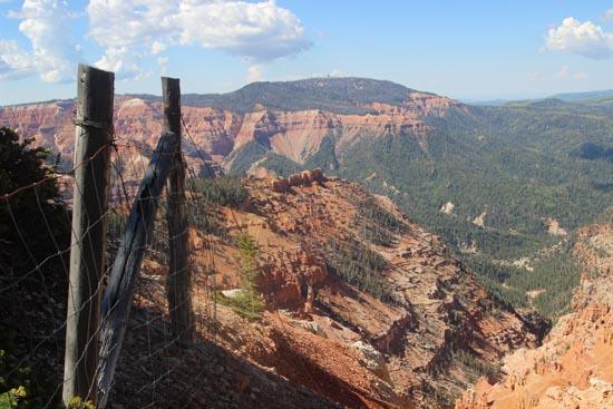
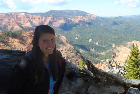
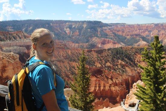
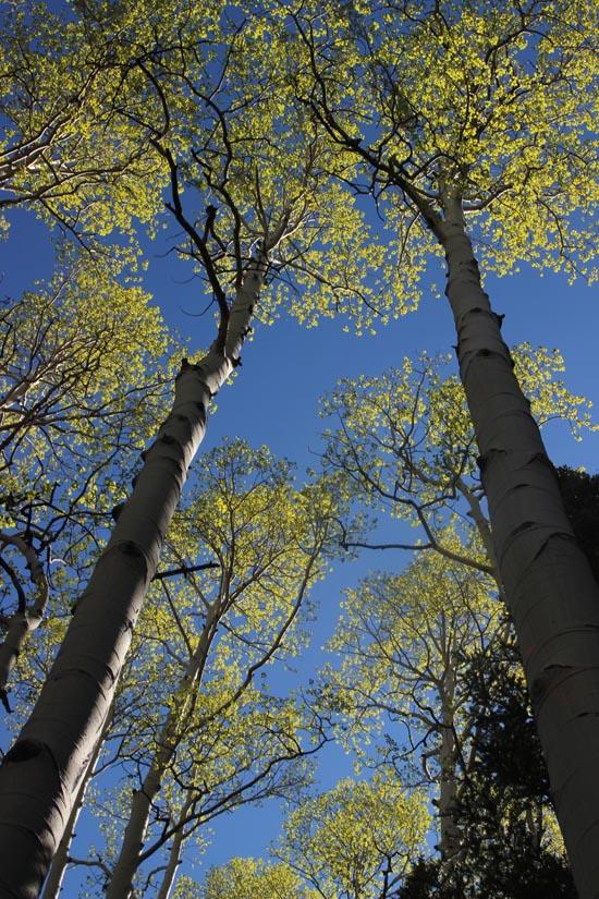
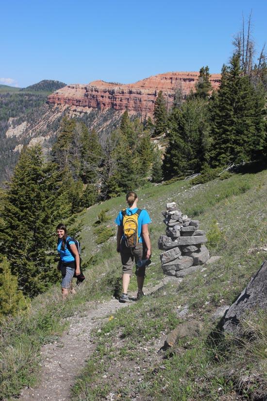
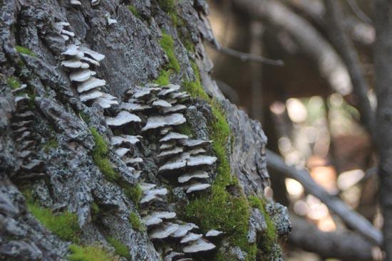
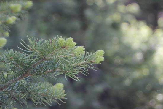
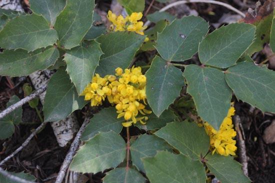
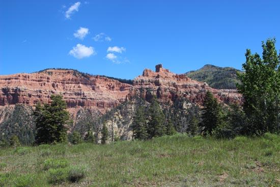
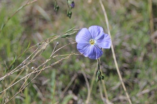
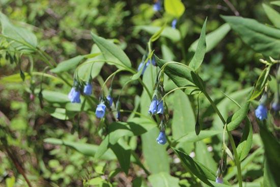
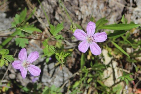
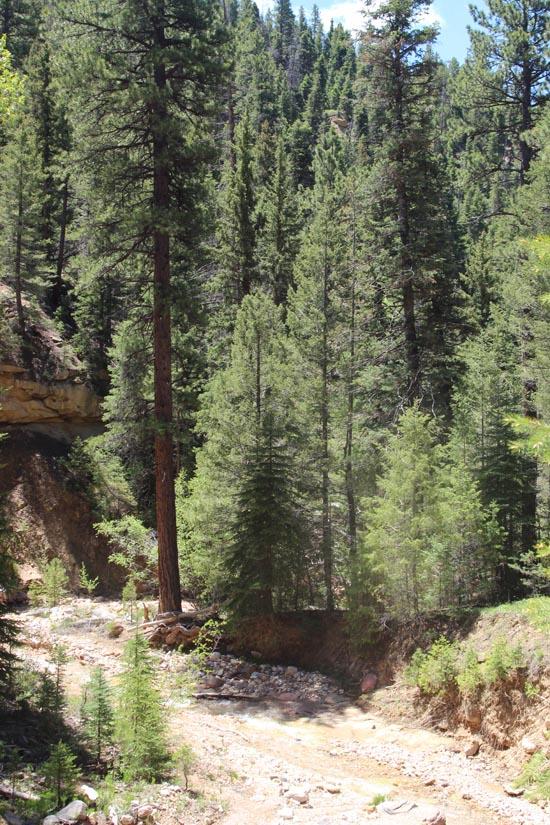
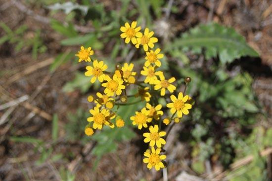
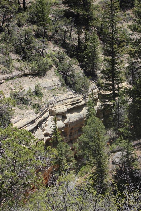
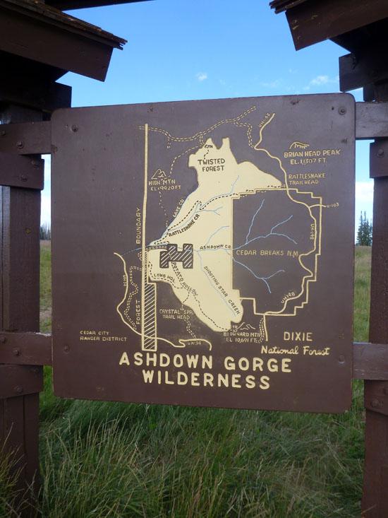
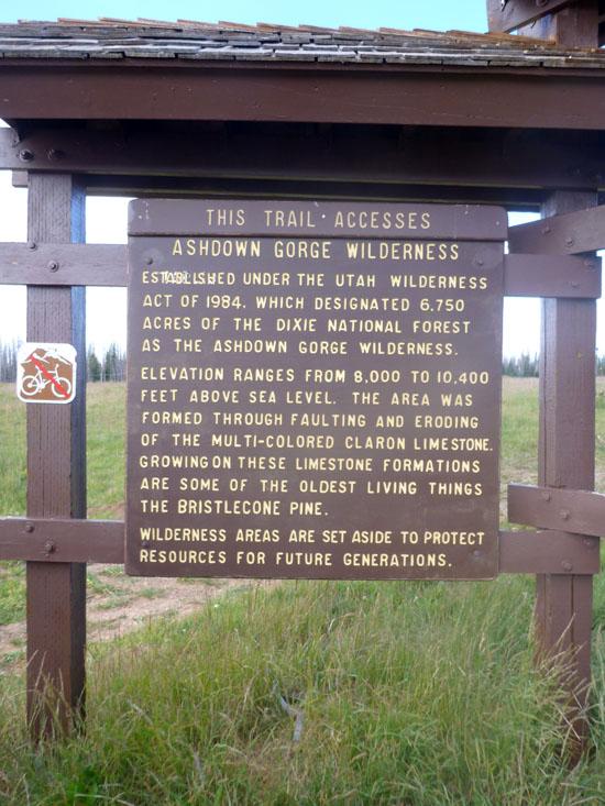
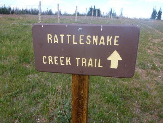
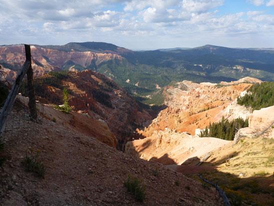
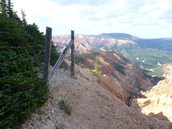
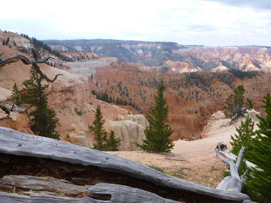
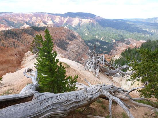
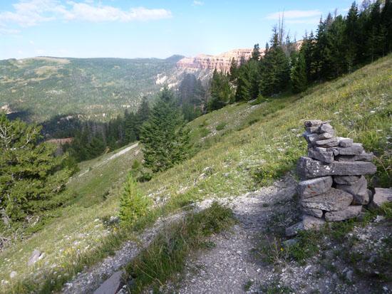
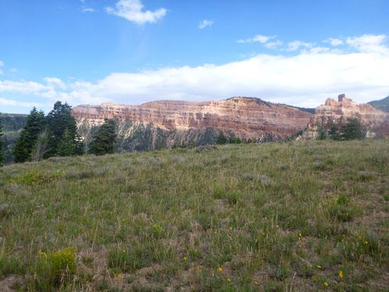
The Rattlesnake Creek Trail starts at the north end of Cedar Breaks and ends at the top of Ashdown Gorge. This trail passes through the Ashdown Gorge Wilderness of Dixie National Forest and portions of Cedar Breaks National Monument. Along the trail are views of Cedar Breaks, forests, meadows, and Rattlesnake Creek.
Trail Condition: Class 0 (Trail is paved. No elevation gain.)
Time:
Fees: None
Recommended Ages:
 | 0-3 |
 | 4-11 |
 | 12-19 |
 | 20-49 |
 | 50-69 |
 | 70+ |
Recommended Months to Visit:
| Jan |
| Feb |
| Mar |
| Apr |
| May |
| Jun |
| Jul |
| Aug |
| Sep |
| Oct |
| Nov |
| Dec |
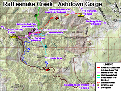
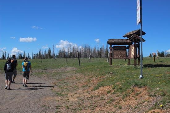
Navigate to 37.662617, -112.838013.
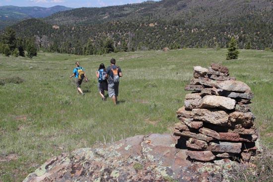
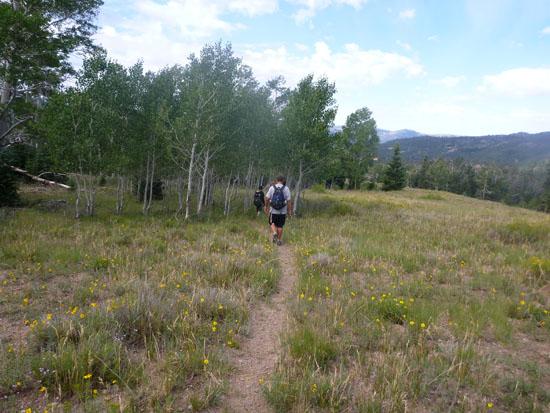
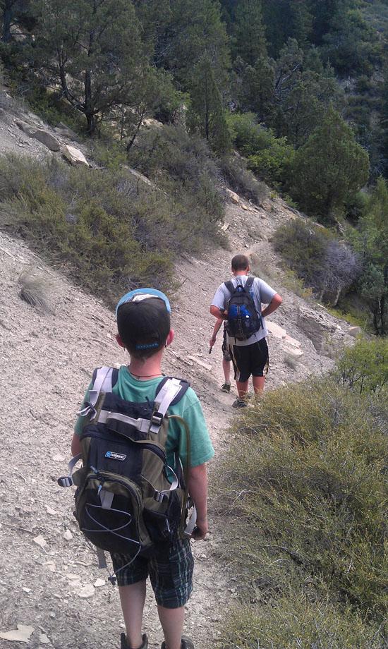
After about 20 minutes of hiking, you'll come to a fork in the trail. The left fork goes to an overlook of Cedar Breaks. The right fork is the main trail.
Then about 5 minutes later is another fork in the trail. Once again, the left fork led to an overlook, and the right fork is the main trail. Pretty much the entire trail is down hill. There are a few spots where is gets a little steep.
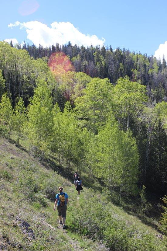
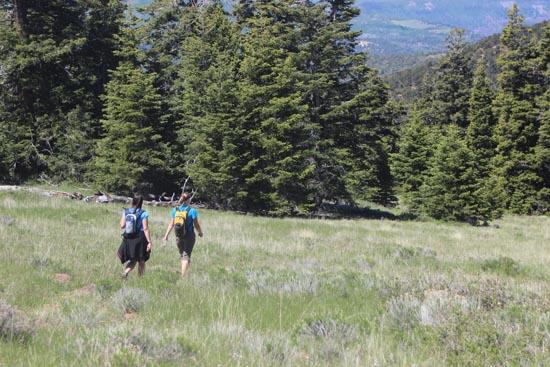
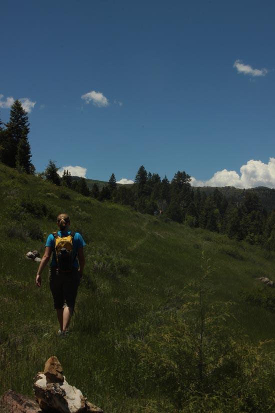
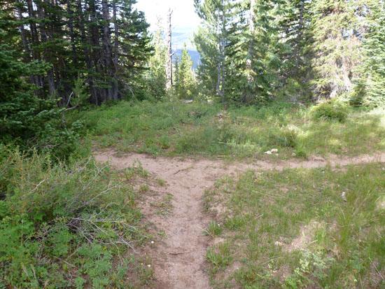
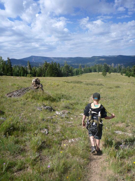
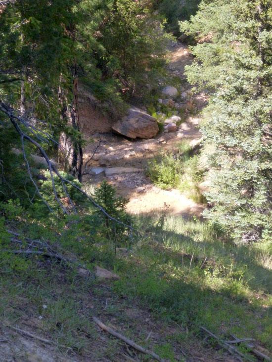
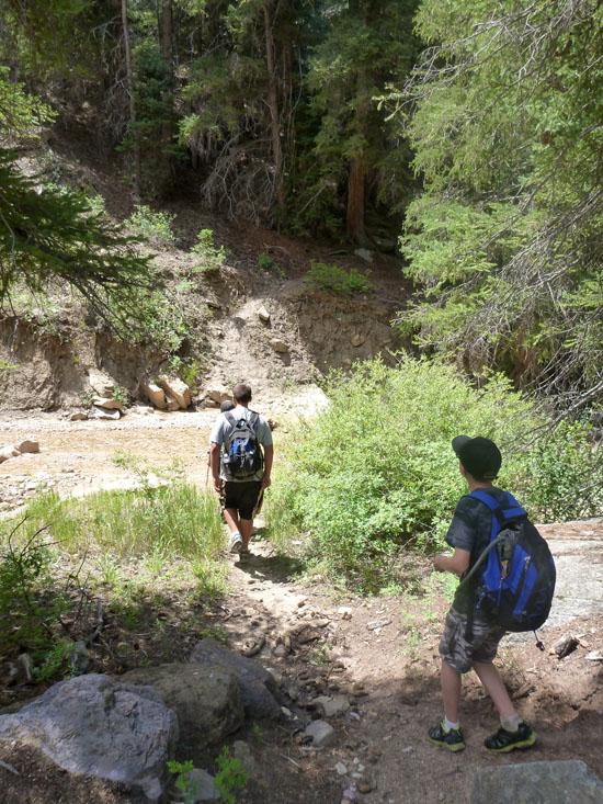
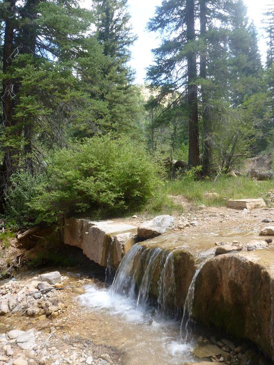
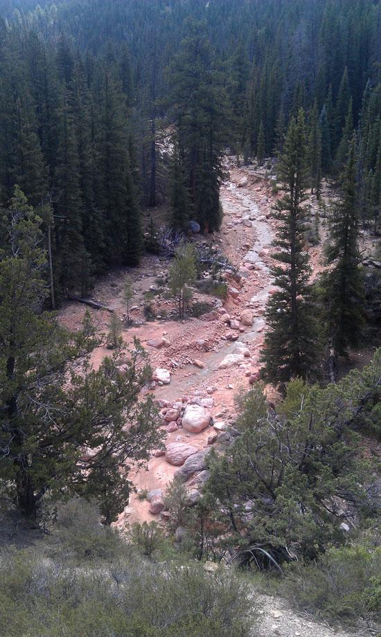
After about 1.5 hours, you'll come to Stud Flat. After hiking through Stud Flat, you'll come to a bunch of switchbacks. At the bottom of the switchbacks, the trail comes to Rattlesnake Creek.
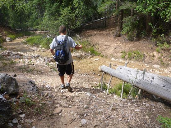
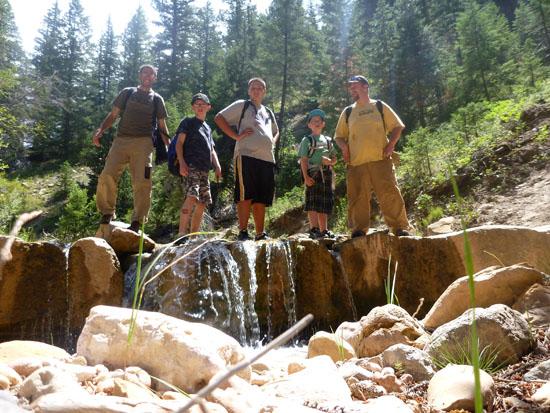
From here, the trail crossed over Rattlesnake Creek.
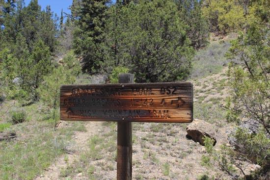
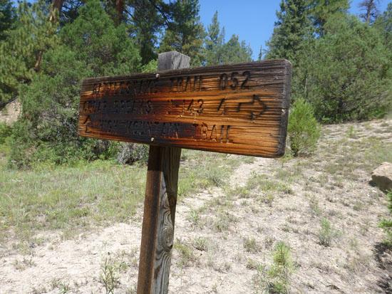
In a few more minutes, you'll reach the trail junction with the High Mountain Trail. The sign at this location says that it is 4 miles back to Cedar Breaks. However the sign is wrong. It is almost exactly 5 miles to this point.
Take the left to continue on the Rattlesnake Trail across Rattlesnake Creek.
If you were to continue down Rattlesnake Creek for a few hundred feet, you would end up standing at the top of Rattlesnake Creek Falls. You could then potentially rappel down Rattlesnake Creek Falls and shave off 2.5 miles of the trail. However, I wouldn't recommend this strategy because you would miss an awesome section of upper Ashdown Gorge.
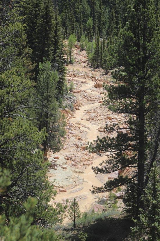
After crossing Rattlesnake Creek, the trail then climbs up and over the ridge to the south. This is the only real uphill section of the trail, but it's not bad at all. Rattlesnake Trail then drops down into Ashdown Creek.
This is essentially the end of the Rattlesnake Creek Trail. From here, most people choose to continue down Ashdown Gorge (3 miles). However, if the weather is bad, you could you also return back to your car the way you came (6.6 miles). Or you could take the Potato Hollow trail to Crystal Springs (3.9 miles).
Closest City or Region: Ashdown Gorge Wilderness Area
Coordinates: 37.662617, -112.838013
By Jeremy Dye
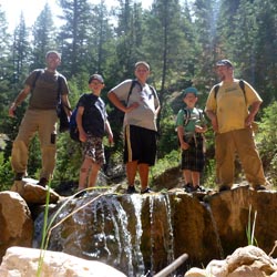
Jeremy Dye, Tara Dye, Anthony Dye, Ondylyn Wagner,

By Jeremy Dye
Jeremy Dye, Jake Bearnson, Elijah Wagner, Dylan Prince, Reese Barnes, ,
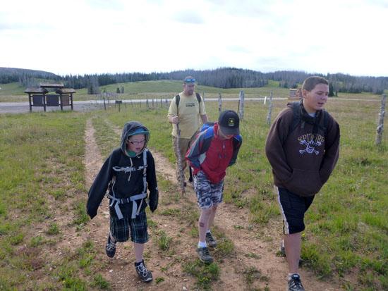
We started our hike a couple minutes before 9:00.
We finished this section of our hike by 1:15, a little less than 4.5 hours after we started.
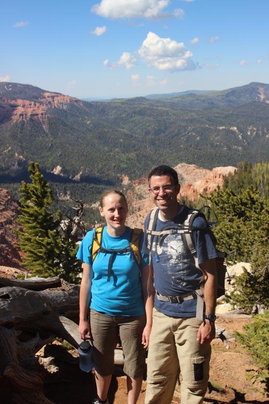
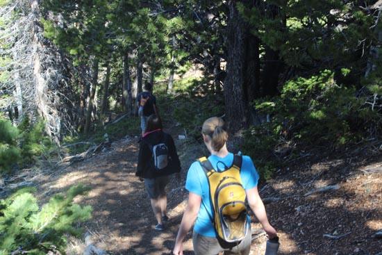
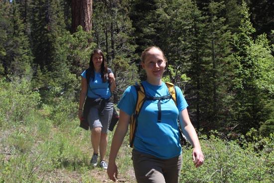
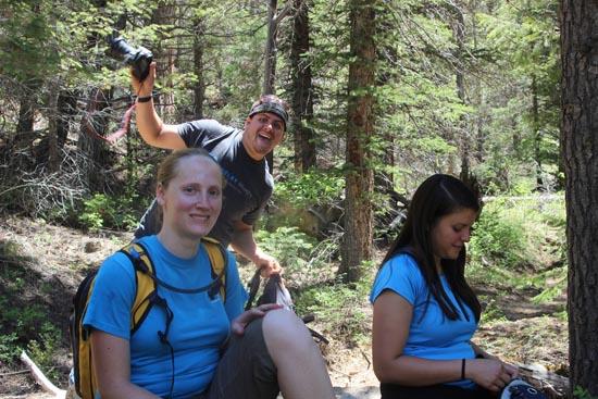
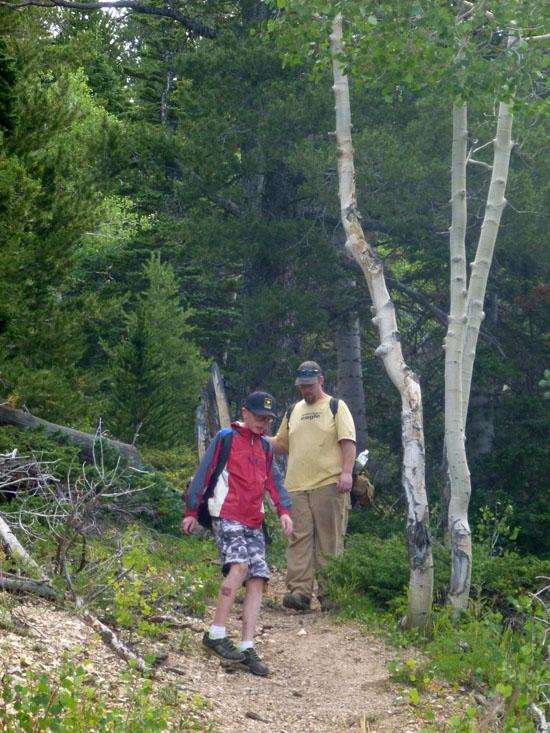
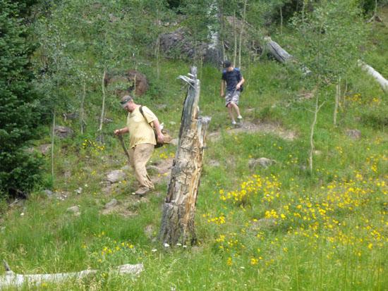
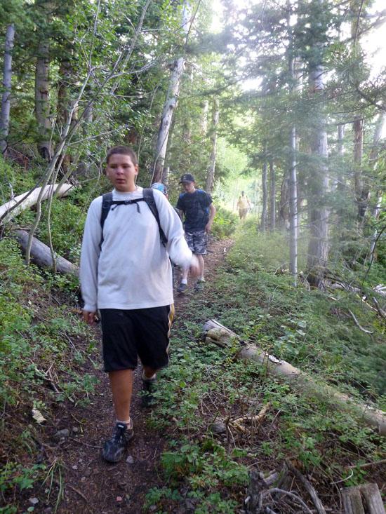
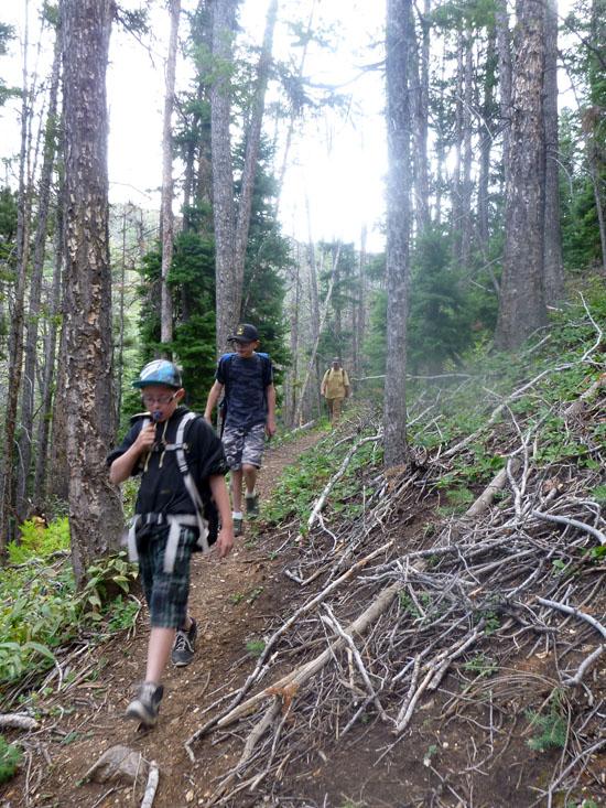
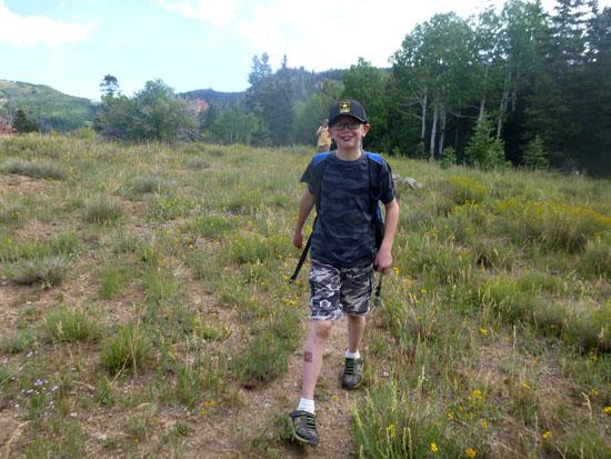
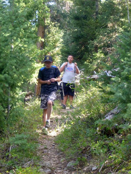
We hiked the Rattlesnake Creek Trail to Ashdown Gorge as part of our August Scout camp out.
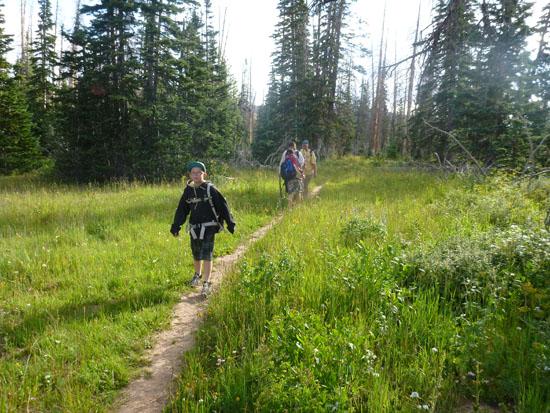
After about 20 minutes of hiking, we came to a fork in the trail. The left fork goes to an overlook of Cedar Breaks. The right fork is the main trail.
Then about 5 minutes later was another fork in the trail. Once again, the left fork led to an overlook, and the right fork was the main trail.
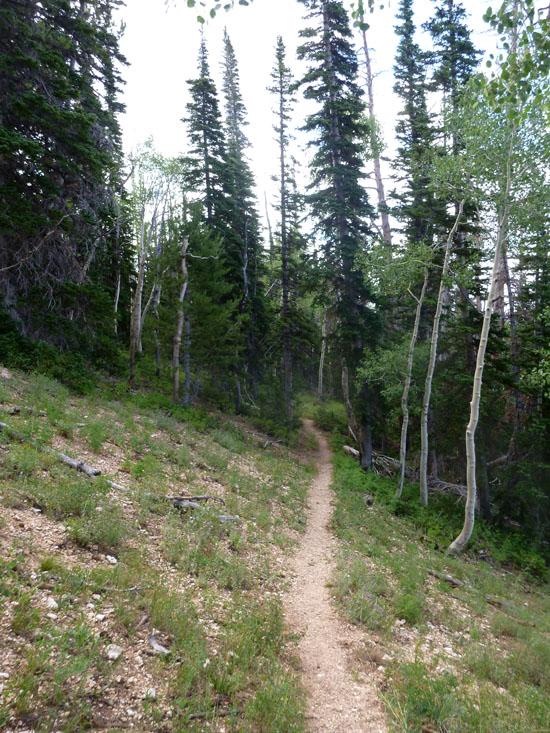
Pretty much the entire trail is down hill. There are a few spots where is gets a little steep.
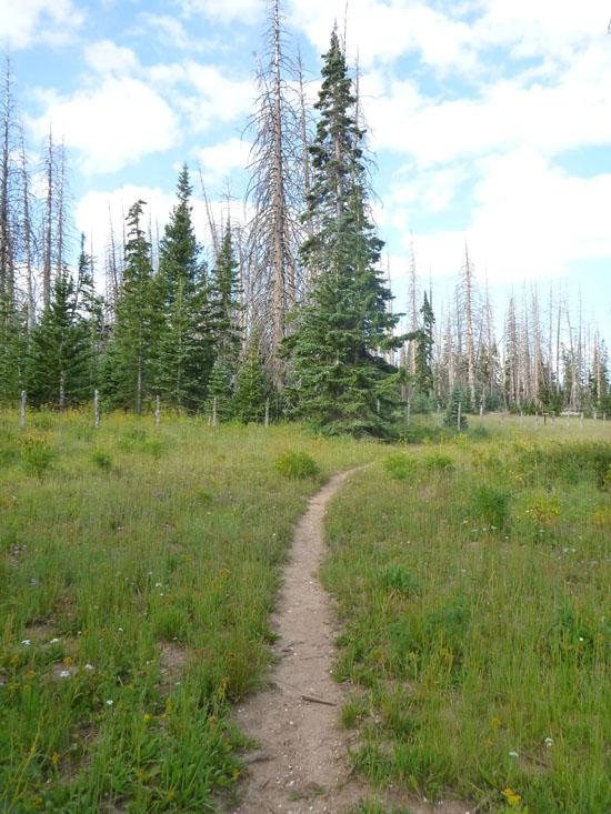
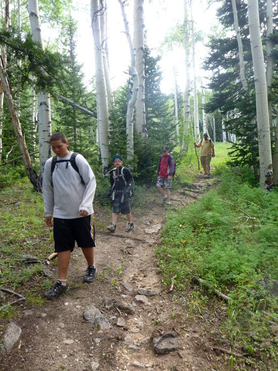
After about 1.5 hours, we reached Stud Flat. After we hiked through Stud Flat, we came to a bunch of switchbacks. At the bottom of the switchbacks, the trail comes to Rattlesnake Creek.
We were slightly confused at this point, because we were under the impression that the trail stayed on the east side of Rattlesnake Creek. However, the trail does cross over Rattlesnake Creek at this point.
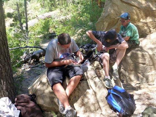
We stopped for lunch around noon. At this point, we had gone almost 5 miles in a little over 3 hours.
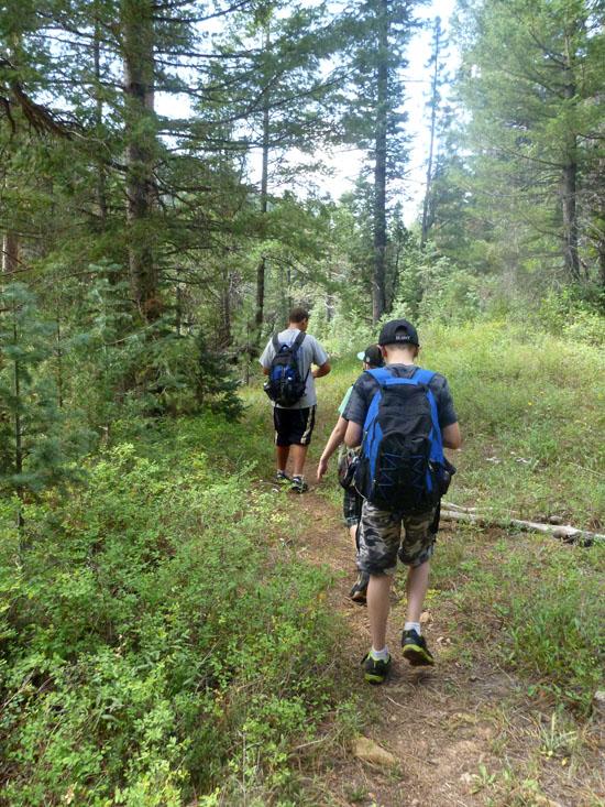
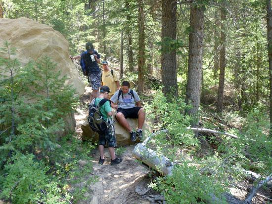
After lunch, we hiked the remaining hundred yards to the trail junction with the High Mountain Trail. The sign at this location says that it is 4 miles back to Cedar Breaks. However the sign is wrong. It is almost exactly 5 miles to this point.
We took a left and continued on the Rattlesnake Trail across Rattlesnake Creek.
If you were to continue down Rattlesnake Creek for a few hundred feet, you would end up standing at the top of Rattlesnake Creek Falls. You could then potentially rappel down Rattlesnake Creek Falls and shave off 2.5 miles of the trail. However, I wouldn't recommend this strategy because you would miss an awesome section of upper Ashdown Gorge.
After crossing Rattlesnake Creek, the trail then climbs up and over the ridge to the south. This is the only real uphill section of the trail, but it's not bad at all.
Rattlesnake Trail then drops down into Ashdown Creek.
This is essentially the end of the Rattlesnake Creek Trail. From here, most people choose to continue down Ashdown Gorge (3 miles). However, if the weather is bad, you could you also return back to your car the way you came (6.6 miles). Or you could take the Potato Hollow trail to Crystal Springs (3.9 miles).
We chose to continue down Ashdown Gorge.
Panguitch Lake North Campground
Panguitch Lake North Campground
Cedar Breaks National Monument
Sunset View Overlook (Cedar Breaks)
Rattlesnake Creek Trail to Ashdown Gorge
 Waterfalls
 Hiking Trails
 Marked Trails
 No Drinking Water
 Mountains
 Viewpoint, Overlooks, Vistas
 Hoodoos
 No Restrooms
 Road Access is Paved
 Access Road is 2WD Accessible
 Wildflowers and Vegitation
 Wildlife and Birding