 Hiking | Agua Canyon Connecting Trail


Hype:
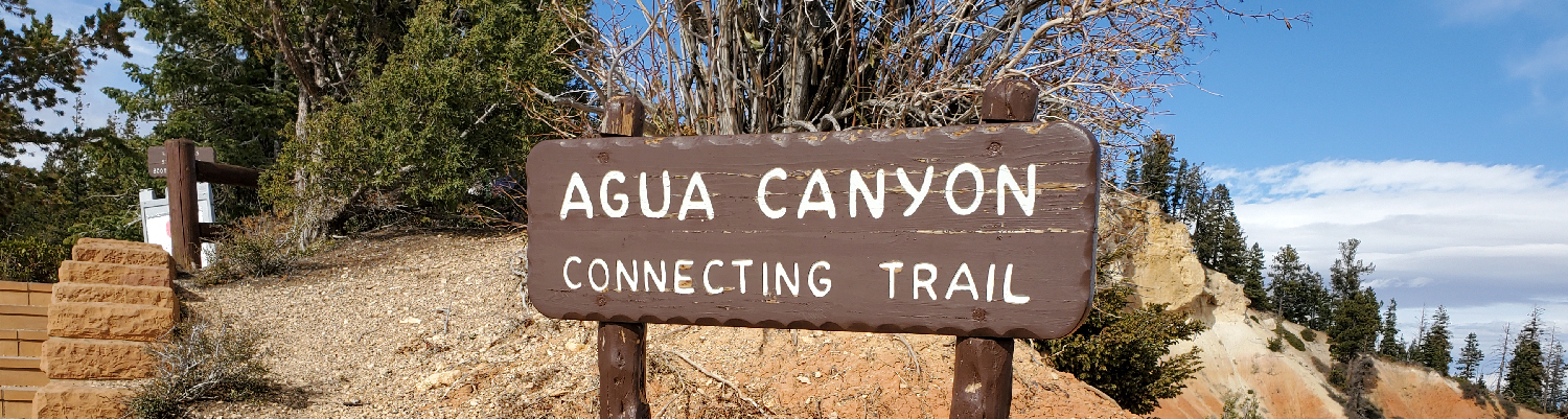
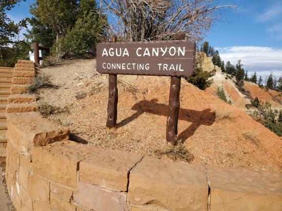
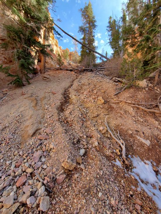
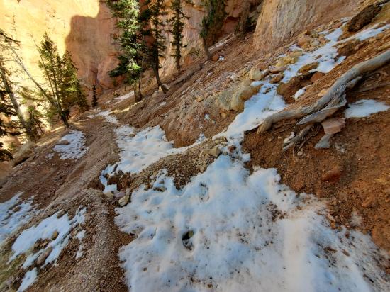
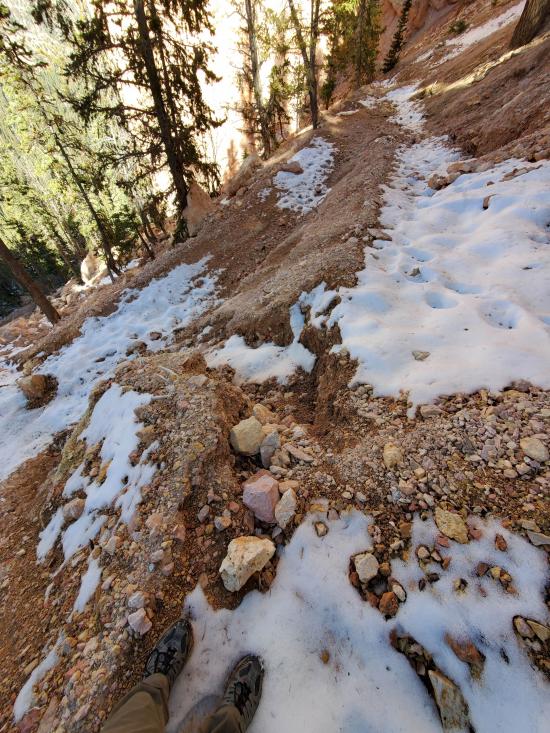
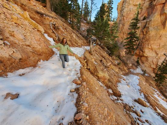
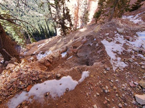
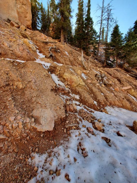
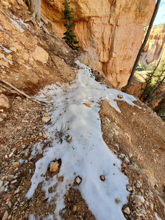
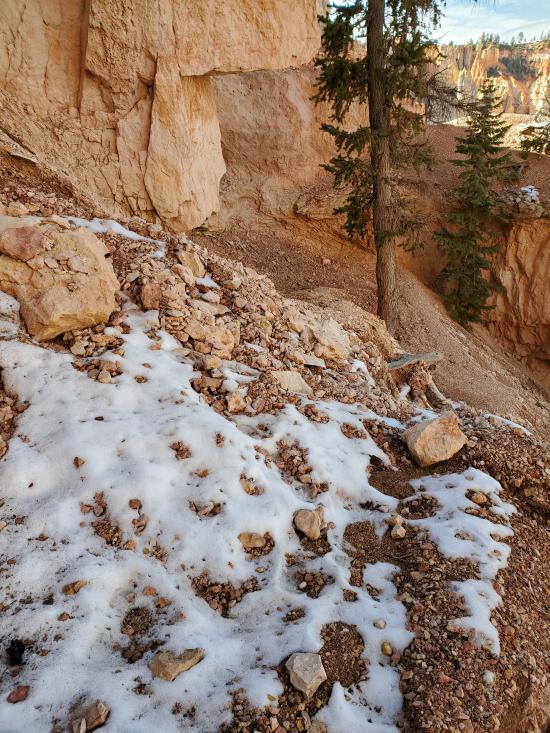
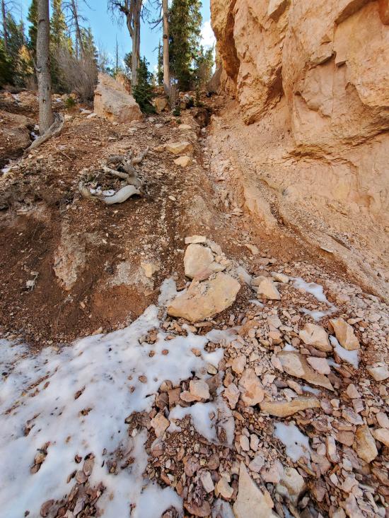
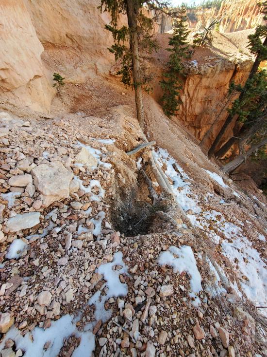
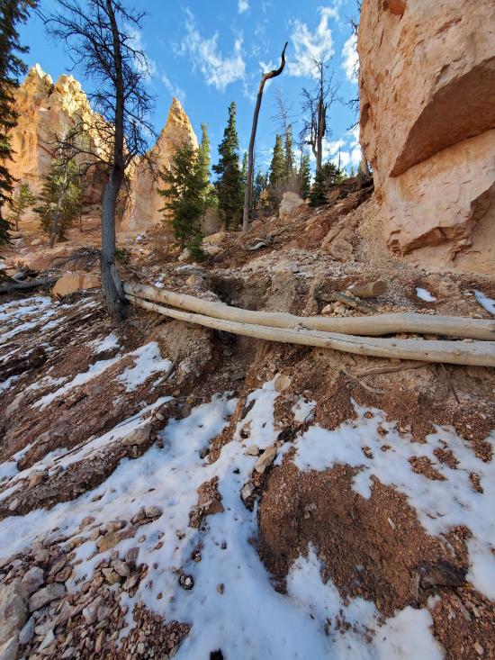
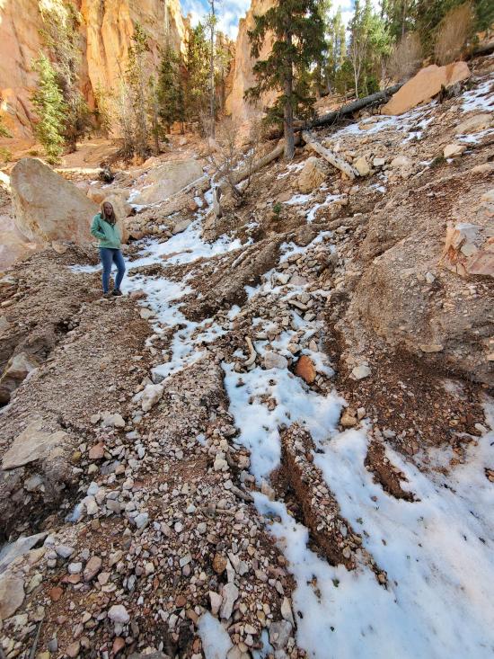
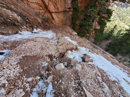
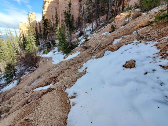
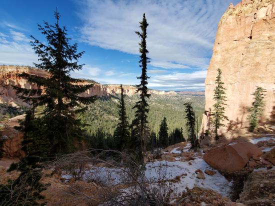
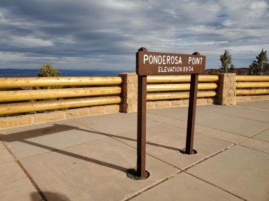
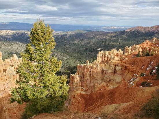
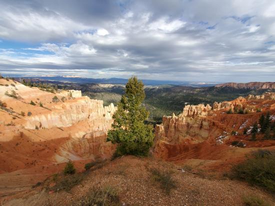
The Agua Canyon Connecting Trail connects the Below the Rim trail to the Ponderosa Point parking area. The trail is not especially scenic.
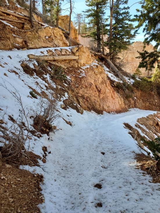
Trail Condition: Class 2 (Trail may have tree roots or rocks jutting out. Navigation skills may consist of following rock cairns and choosing turns at junctions. Elevation gains may be more substantial.)
Time: 1-2 hours
Length: 1.6 miles one way
Elevation Gain: 427 ft, -1194 ft
Fees: Park Entrance
Recommended Ages:
 | 0-3 |
 | 4-11 |
 | 12-19 |
 | 20-49 |
 | 50-69 |
 | 70+ |
Recommended Months to Visit:
| Jan |
| Feb |
| Mar |
| Apr |
| May |
| Jun |
| Jul |
| Aug |
| Sep |
| Oct |
| Nov |
| Dec |
Closest City or Region: Bryce Canyon National Park, Utah
Coordinates: 37.511890, -112.256657
By Jeremy Dye
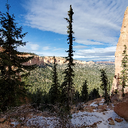
For work, we were proposing on a project to repair some damaged sections of the Agua Connector Trail, so Tara and I got permission to hike down to check out the damage even though the trail was closed. We hiked to the bottom of the switchbacks and took a bunch of pictures then hiked back up to the Ponderosa Point lookout.
 Bryce Canyon Wranglers at Ebenezer's Barn and Grill
Soaring Southern Utah at Ruby's Inn
Skutumpah Road Primitive Camping
Shakespeare Arch/Sentinel Trail
Bryce Canyon National Park Visitor Center
Bryce Canyon Wranglers at Ebenezer's Barn and Grill
 Hiking Trails
 Marked Trails
 Wildlife and Birding
 Wildflowers and Vegitation
 Road Access is Paved
 Access Road is 2WD Accessible
 No Restrooms
 Mountains
 No Drinking Water
