Hiking | Kodachrome Nature Trail


Hype:
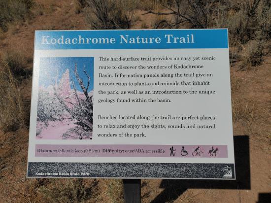
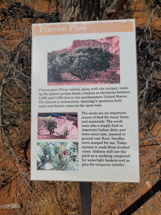
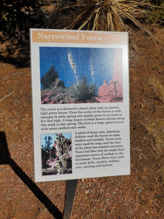
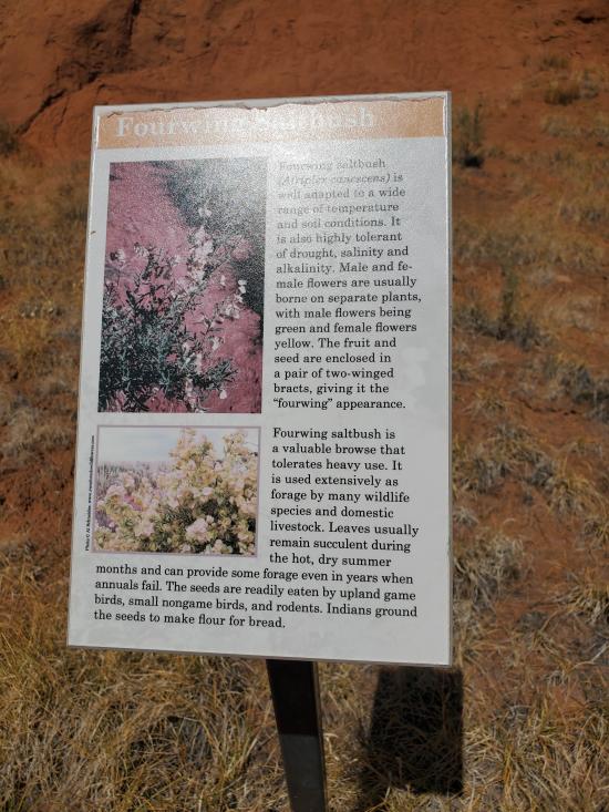
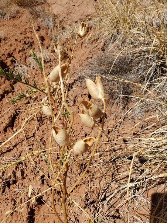
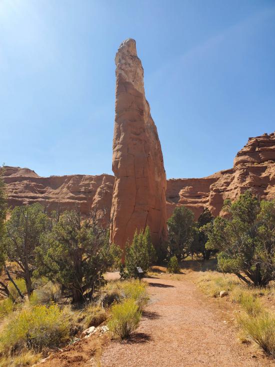
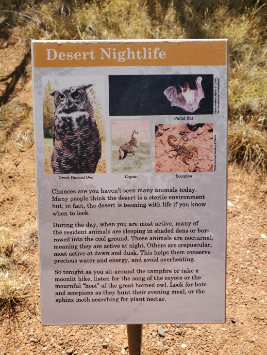
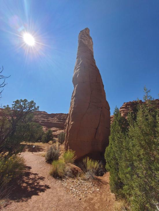
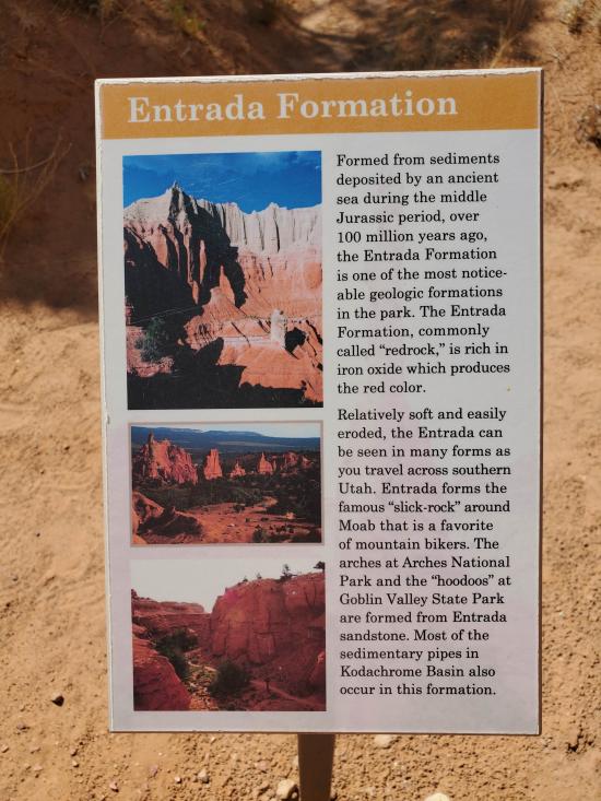
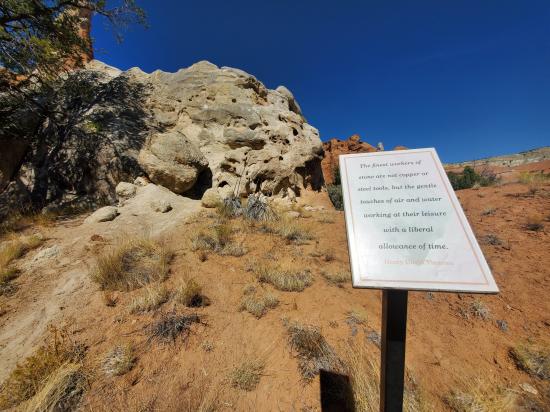
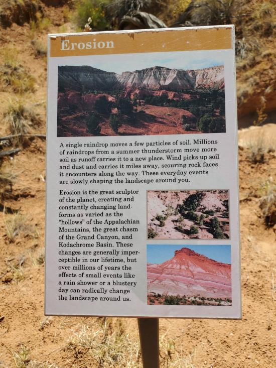
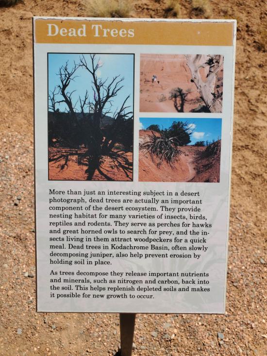
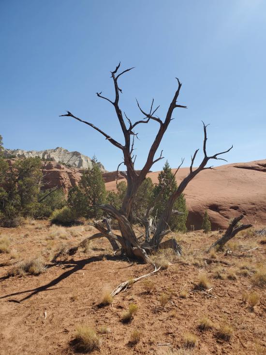
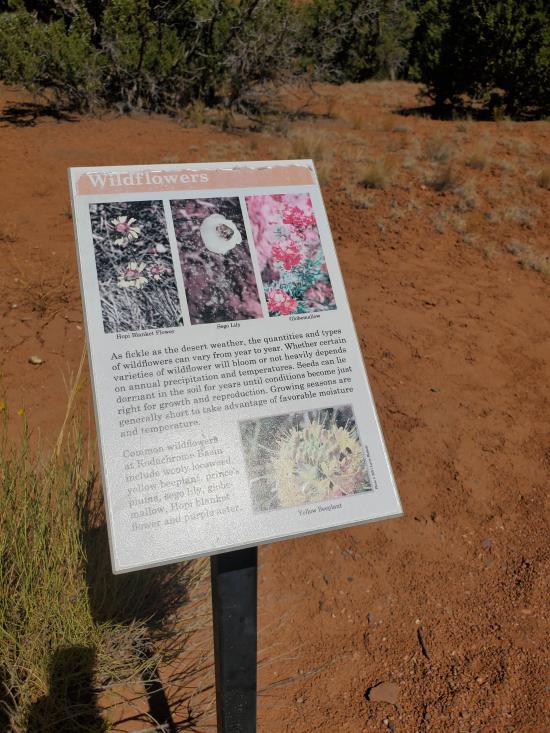
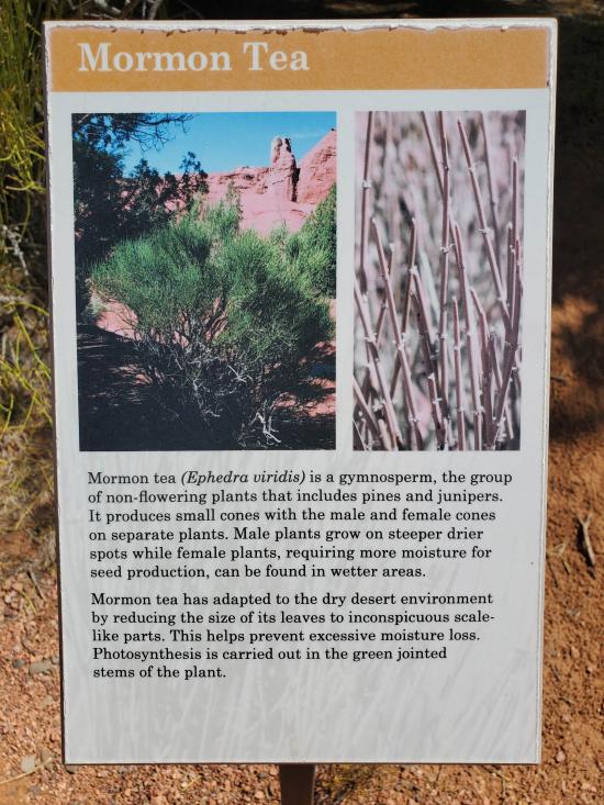
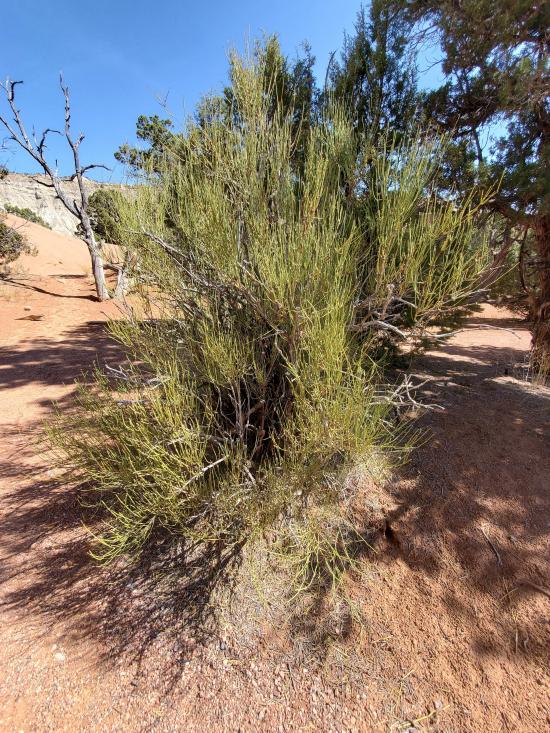
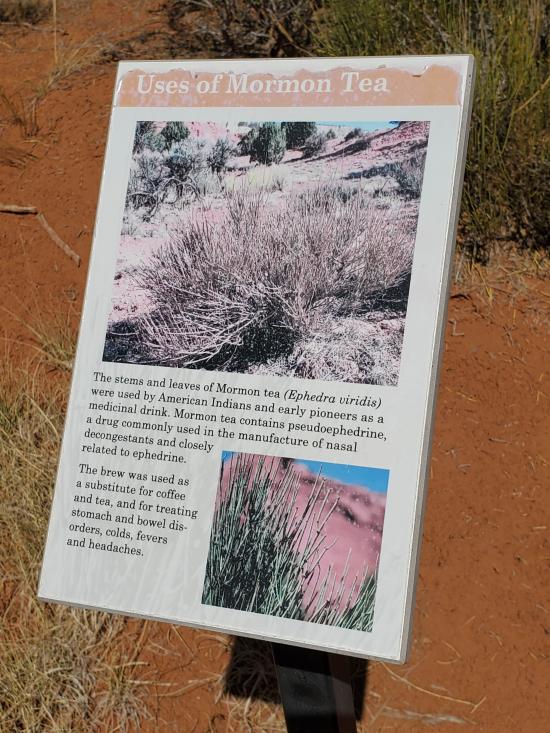
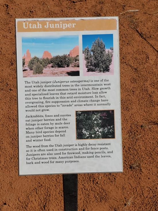
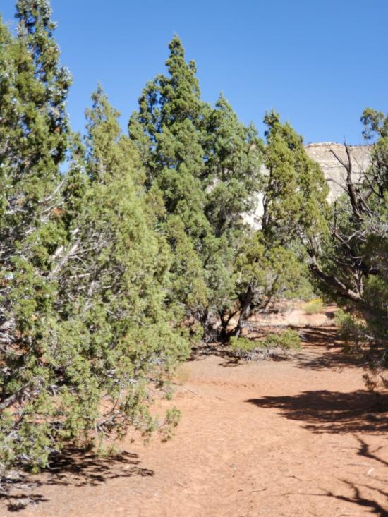
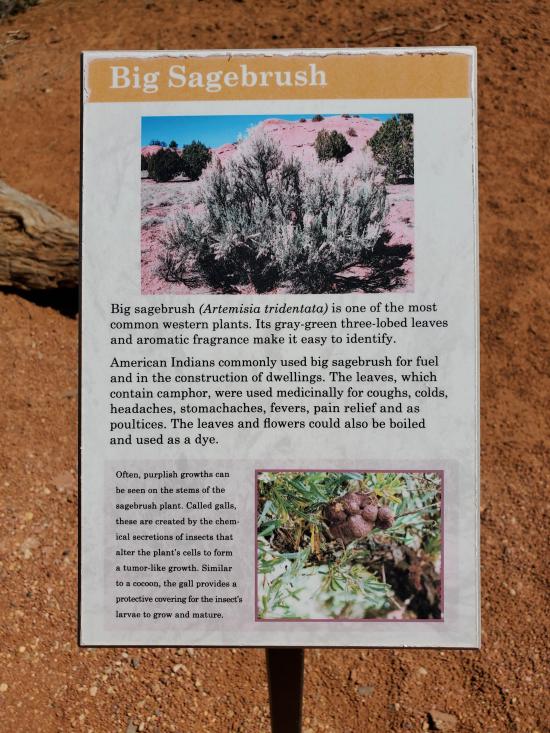
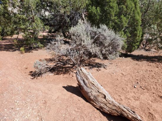
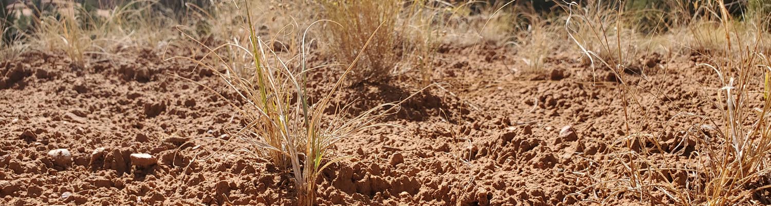
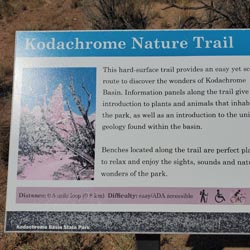
This hard surface trail provides an easy yet scenic route to discover the wonders of Kodachrome Basin. Stops along the trail give an introduction to the plants and animals that inhabit the park, as well as an introduction to the unique geology found within the basin. Benches located along the trail are a perfect place to relax and enjoy the sights, sounds, and natural wonders of the park.
Trail Condition: Class 0 (Trail is paved. No elevation gain.)
Time: 10-30 minutes
Length: 0.4 mile loop
Elevation Gain: Negligible
Fees: Park Entrance
Recommended Ages:
 | 0-3 |
 | 4-11 |
 | 12-19 |
 | 20-49 |
 | 50-69 |
 | 70+ |
Recommended Months to Visit:
| Jan |
| Feb |
| Mar |
| Apr |
| May |
| Jun |
| Jul |
| Aug |
| Sep |
| Oct |
| Nov |
| Dec |
Navigate to 37.528593, -111.992541.
Park in the parking area on the west side of the road.
The trailhead to Kodachrome Nature Trail is at the west end of the parking area. From the trailhead, walk either direction around the 0.4-mile loop.
Closest City or Region: Kodachrome Basin State, Utah
Coordinates: 37.528483, -111.995309
Shakespeare Arch/Sentinel Trail
Skutumpah Road Primitive Camping
Shakespeare Arch/Sentinel Trail
Bryce Canyon National Park Visitor Center
Bryce Canyon Wranglers at Ebenezer's Barn and Grill
 No Drinking Water
 Hoodoos
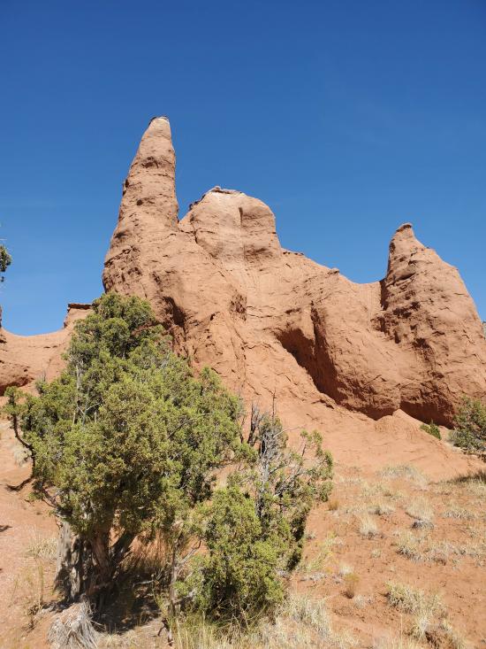
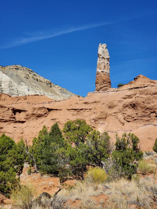
 Mountains
 Marked Trails
 No Restrooms
 Road Access is Paved
 Access Road is 2WD Accessible
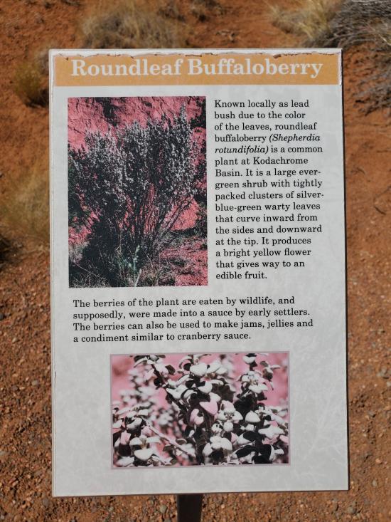
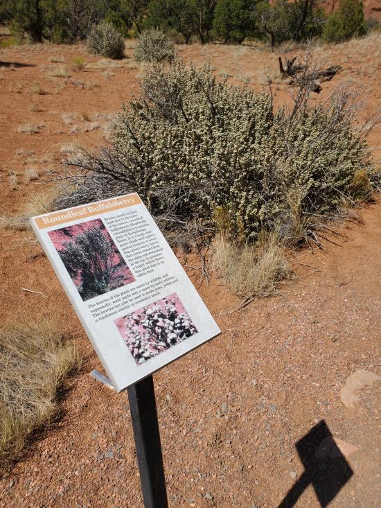
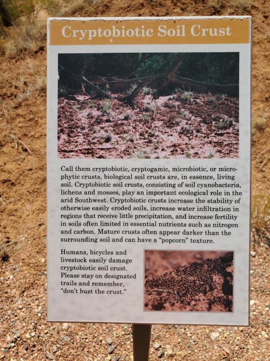
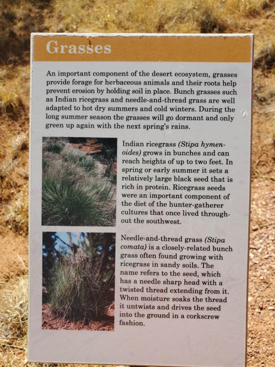
 Interpretive Signs
 Hiking Trails
 Walking Trails
 Wildflowers and Vegitation
 Wildlife and Birding