 Hiking | Rim Trail


Hype:
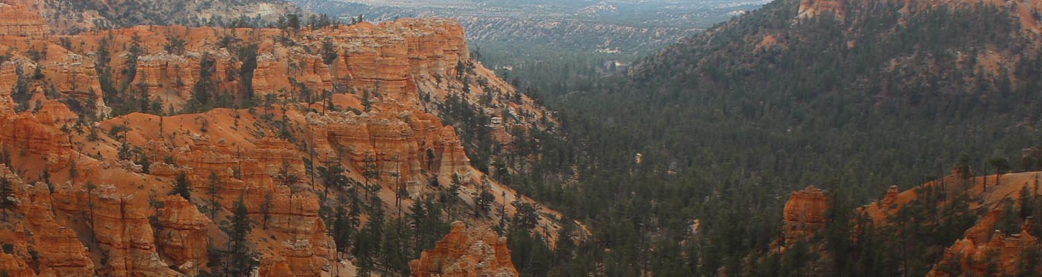
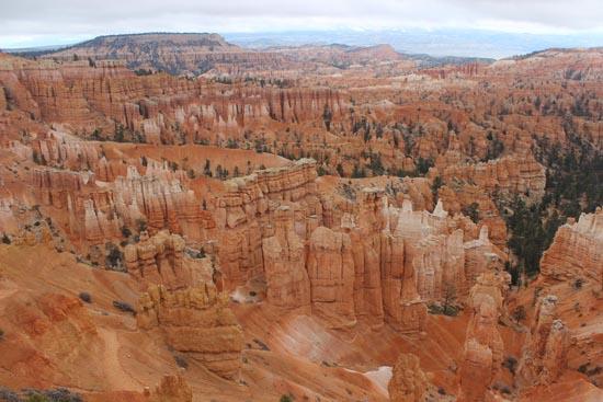
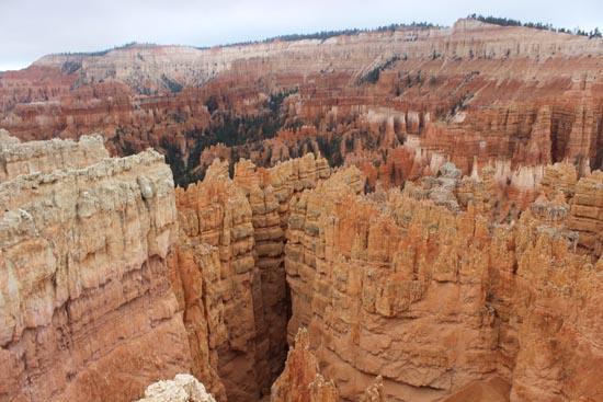
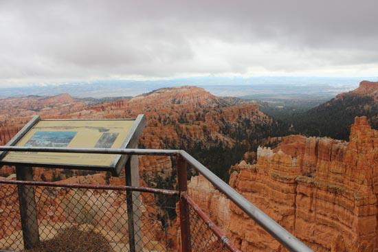
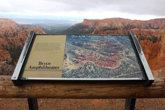
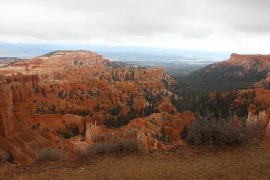
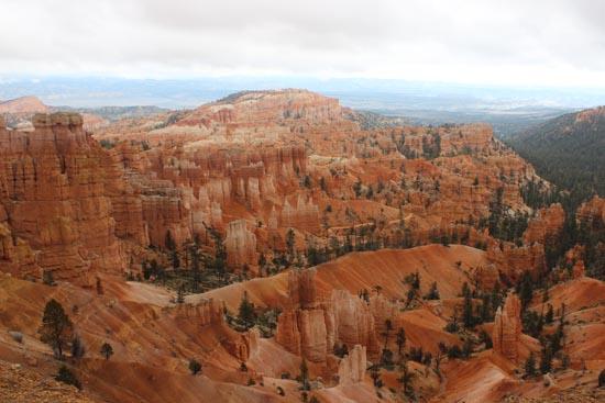
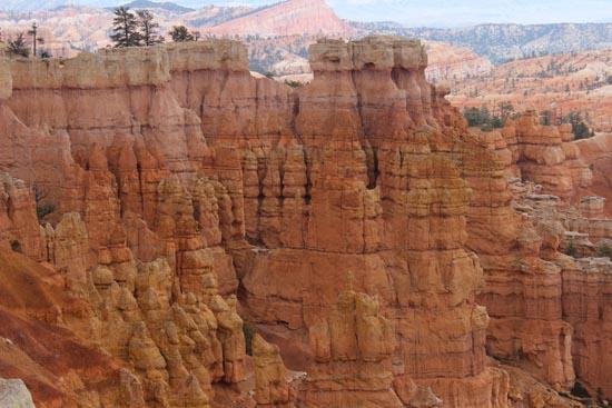
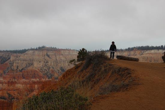
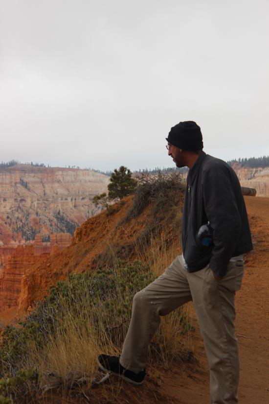
Observe the amphitheater and it's hoodoos along the rim and if planned right, visit all four main viewpoints. Sunset Point to Sunrise Point Rim Trail is paved and fairly level.
Trail Condition: Class 1 (Trail is either paved or gravel. Navigation skills are not needed because there is only one trail or because there are signs. Elevation gains are gradual or there are stairs.)
Time: 2-3 hours
Length: 5.5 miles one way
Elevation Gain: 300 ft
Fees: Entrance Fee
Recommended Ages:
 | 0-3 |
 | 4-11 |
 | 12-19 |
 | 20-49 |
 | 50-69 |
 | 70+ |
Recommended Months to Visit:
| Jan |
| Feb |
| Mar |
| Apr |
| May |
| Jun |
| Jul |
| Aug |
| Sep |
| Oct |
| Nov |
| Dec |
Links: www.nps.gov/
Navigate to 37.626058, -112.165578.
Closest City or Region: Bryce Canyon National Park
Coordinates: 37.626058, -112.165578
By Jeremy Dye
Jeremy Dye, Troop 606,
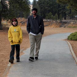
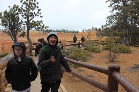
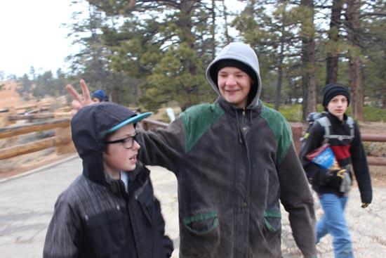
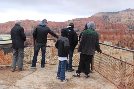
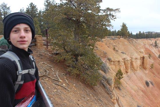
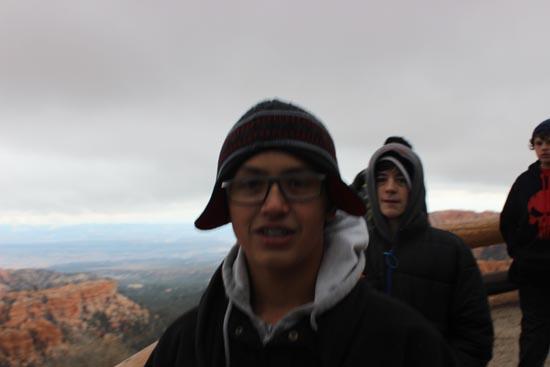
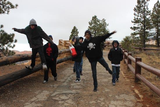
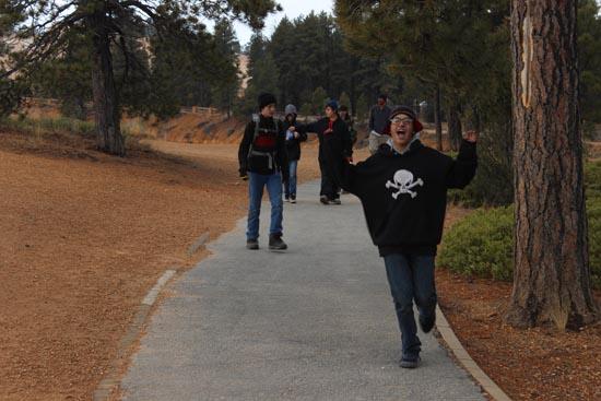
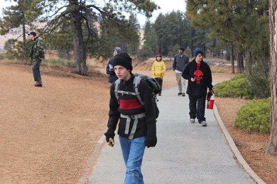
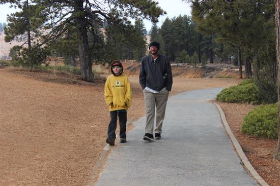
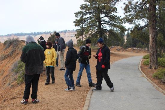
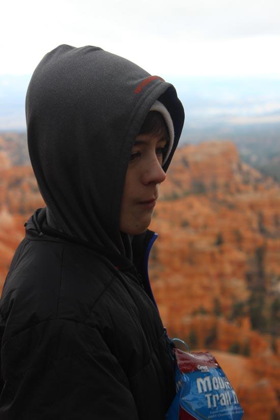
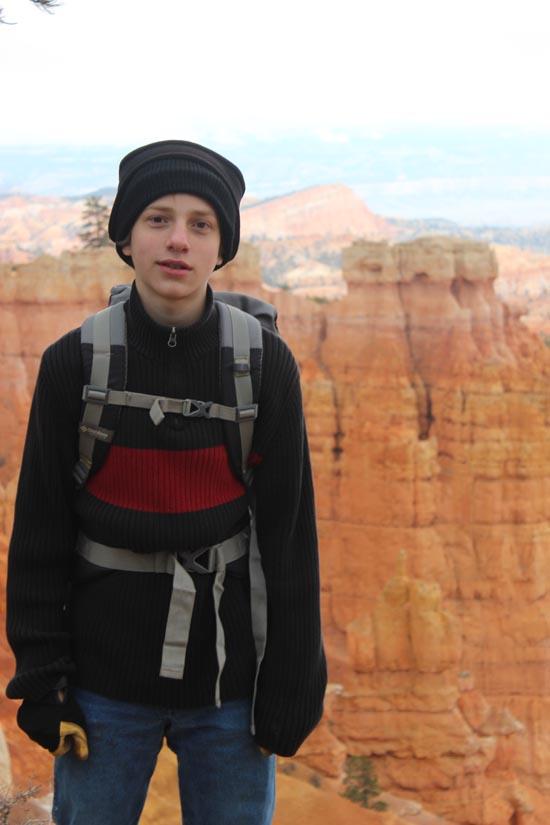
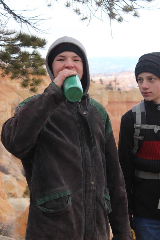
We took the Scouts camping and hiking at Bryce Canyon. They had a blast! We drove down to Sunset Point. We went to the overlook. Then we hiked along the Rim Trail to Sunrise Point. From there, we took the Queen's Garden trail down into the amphitheater. We took the Navajo Loop trail back out through Wall Street. It was a fun loop hike with awesome scenery.


Skutumpah Road Primitive Camping
Shakespeare Arch/Sentinel Trail
Bryce Canyon National Park Visitor Center
Bryce Canyon Wranglers at Ebenezer's Barn and Grill
 No Drinking Water
 Hoodoos
 Marked Trails
 Restrooms - Flush
 Road Access is Paved
 Access Road is 2WD Accessible
 Viewpoint, Overlooks, Vistas
 Walking Trails
 Wildflowers and Vegitation
 Wildlife and Birding