 Hiking | Riggs Spring Loop Trail


Hype:
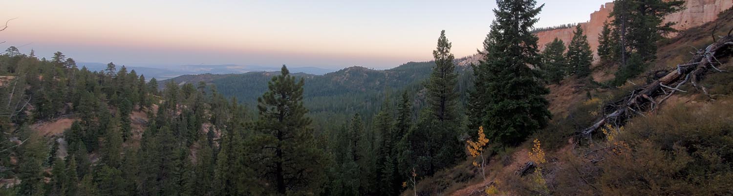
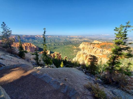
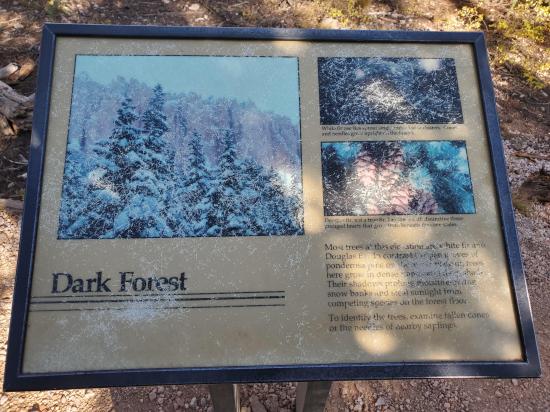
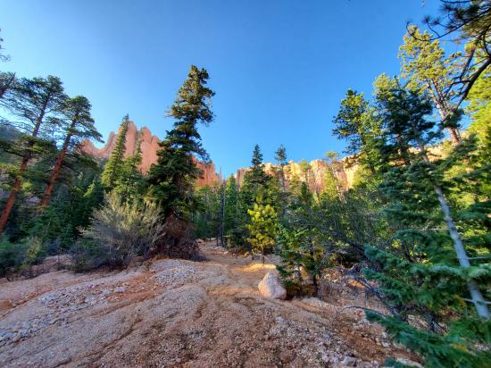
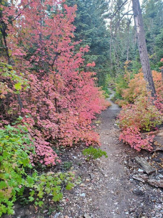
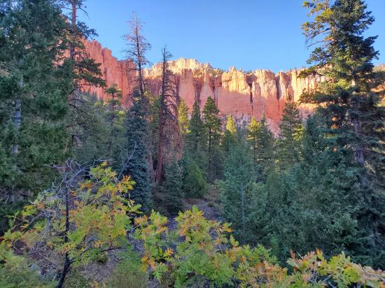
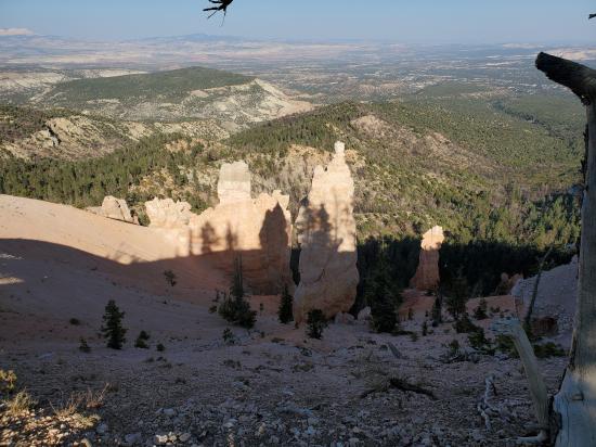
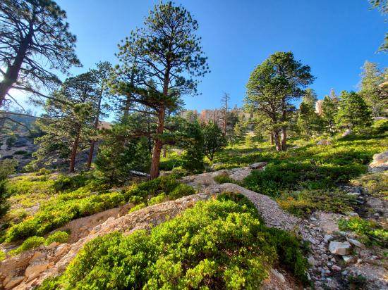
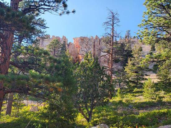
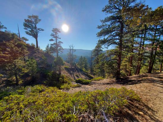
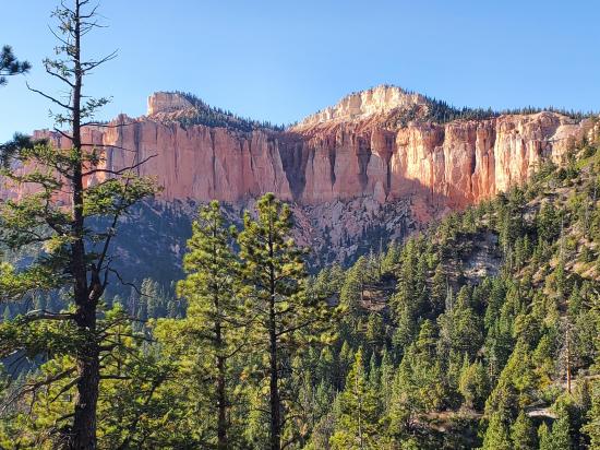
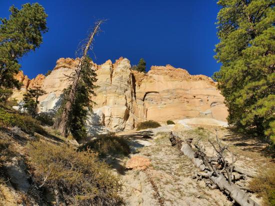
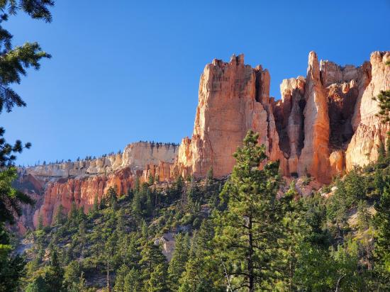
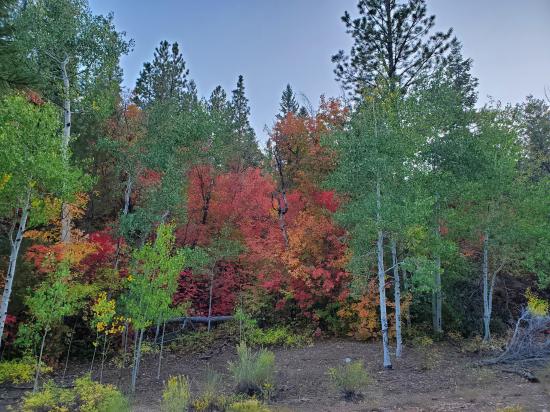
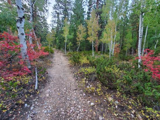
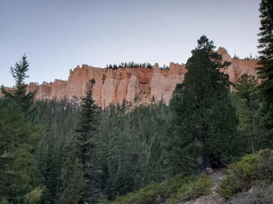
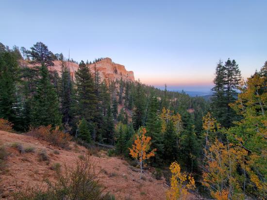
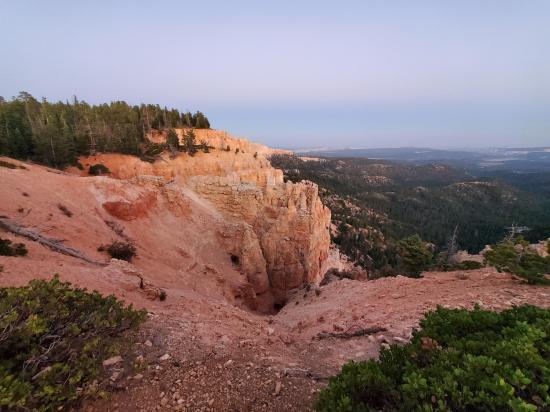
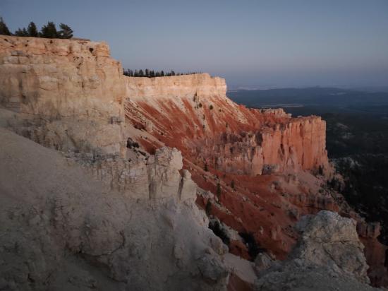
The Riggs Spring Loop Trail begins at Yovimpa Point and travels through spruce, fir and bristlecone forests. Red cliff breaks and Quaking Aspen groves are scattered along the trail on the eastern side, allowing for beautiful vistas looking east and south. The western section of the trail is steeper and more heavily forested. A spring is located near the midway point of the trail offering some respite and shade for the weary traveler. The Riggs Spring Loop Trail was built in Bryce Canyon National Park in 1936 to provide access to the park's backcountry for fire suppression crews. The trail is significant for its association with Civilian Conservation Corps labor from CCC Camp NP-3, and represents the last link in the series of access trails built in the mid-1930s, beginning with the Under-the-Rim Trail. The trail descends eastward from Rainbow Point in the southern end of the park, descending along The Promontory, and turning back south, then west, then north to return to the road via Yovimpa Pass, returning to Rainbow Point. The Riggs Spring Fire Trail was placed on the National Register of Historic Places on April 25, 1995.
Trail Condition: Class 2 (Trail may have tree roots or rocks jutting out. Navigation skills may consist of following rock cairns and choosing turns at junctions. Elevation gains may be more substantial.)
Time: 3-5 hours
Length: 9 miles
Elevation Gain: 2,200 ft
Fees: Park Entrance
Recommended Ages:
 | 0-3 |
 | 4-11 |
 | 12-19 |
 | 20-49 |
 | 50-69 |
 | 70+ |
Recommended Months to Visit:
| Jan |
| Feb |
| Mar |
| Apr |
| May |
| Jun |
| Jul |
| Aug |
| Sep |
| Oct |
| Nov |
| Dec |
Links: https://www.nps.gov/brca/planyourvisit/riggsspringloop.htmhttps://en.wikipedia.org/wiki/Riggs_Spring_Fire_Trail
The Riggs Spring Loop Trail can be hiked clockwise or counter-clockwise. Counter-clockwise is probably a bit easier for most people because the climb back to the rim is less steep on the east end compared to hiking up Yovimpa Pass. However, if you have bad knees, it may be better to hike clockwise to avoid the steep downhill in Yovimpa Pass.
These instruction are for the counterclockwise direction.
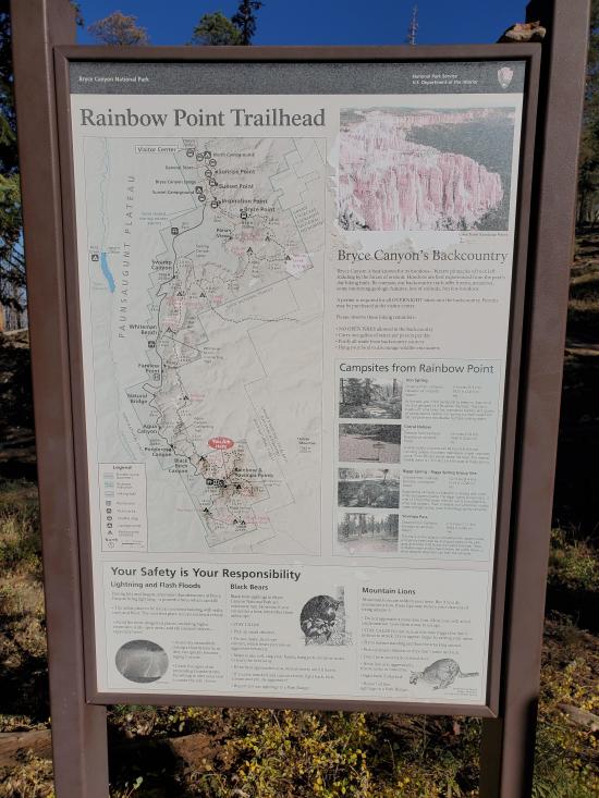
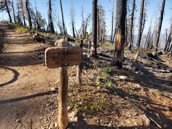
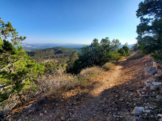
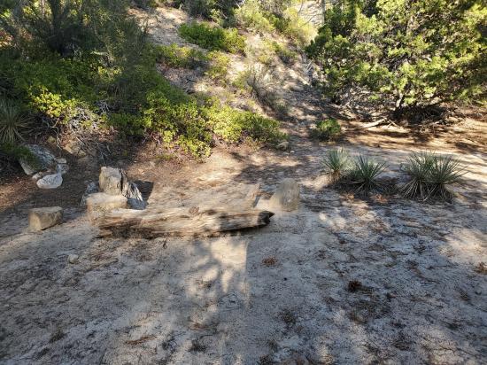
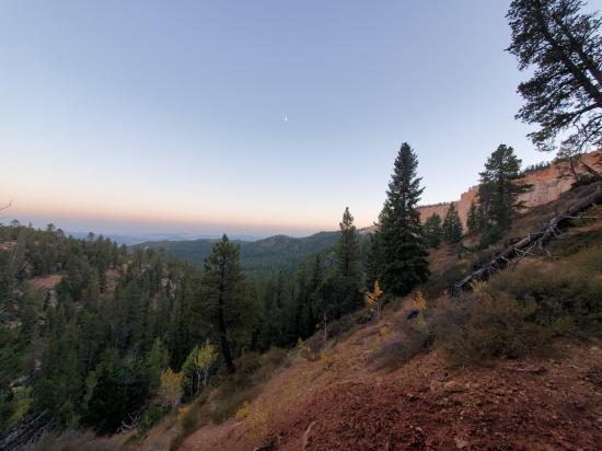
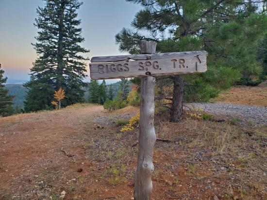
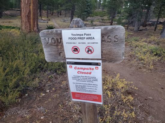
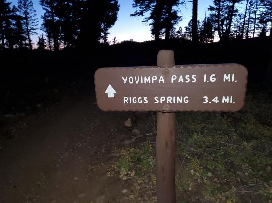
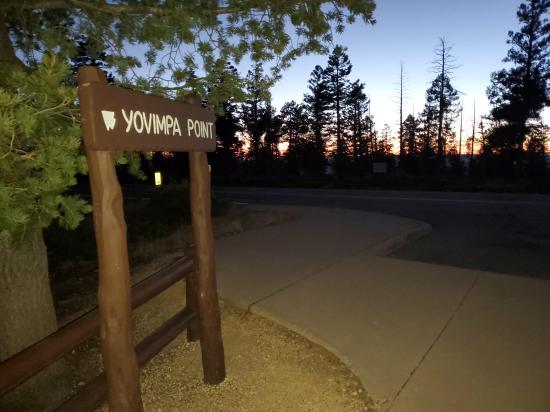
From the Rainbow Point parking area, take the well-signed trail southwest. The trail follows the shoulder of the road for about a thousand feet before heading overland in a generally southwest direction toward Yovimpa Pass. This section is forested, and the trail is narrow. At the top of Yovimpa Pass is a camp site and the end of a spur road. Take the switchbacks down Yovimpa pass. This section of trail is fairly steep with multiple switchbacks. Portions of the trail may have puddles and runoff.
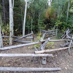
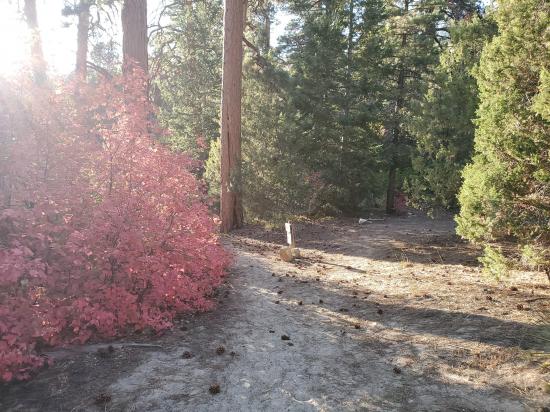
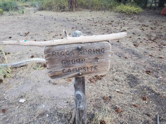
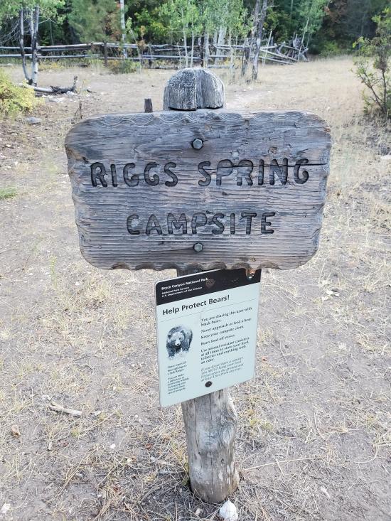
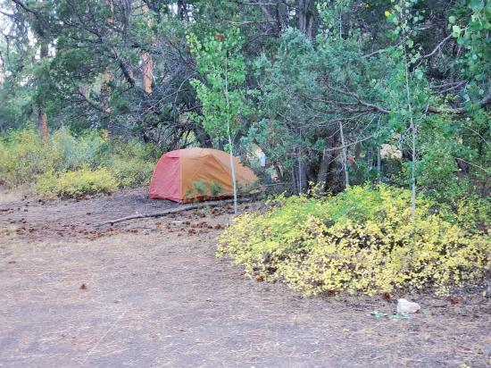
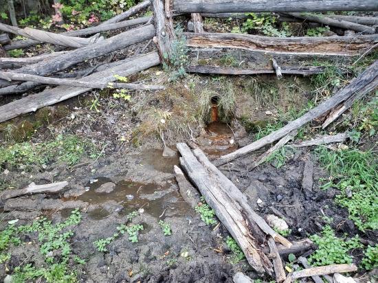
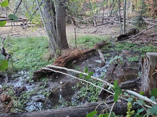
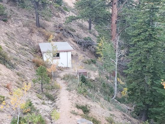
Continue down the drainage through pine and aspen forest to Riggs Spring, a year-round spring a with nearby camping spot. The spring is located south of the trail about a hundred feet as is fenced off to help maintain water quality.
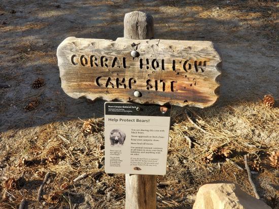
At Riggs Spring, turn north and hike up the gradual incline along the base of the pink cliffs. You'll pass the Corral Hollow Camp Site and a couple of rocky washes along the way.
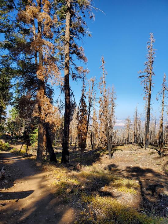
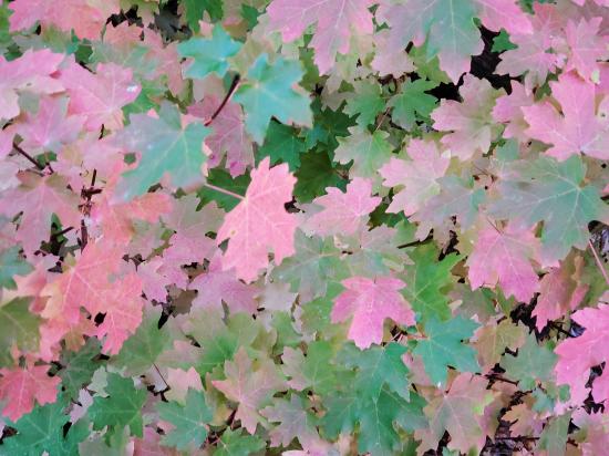
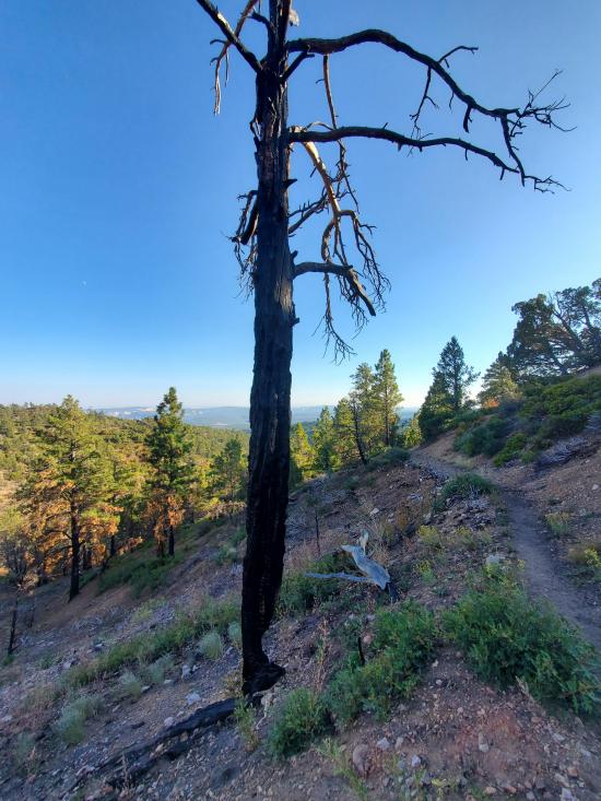
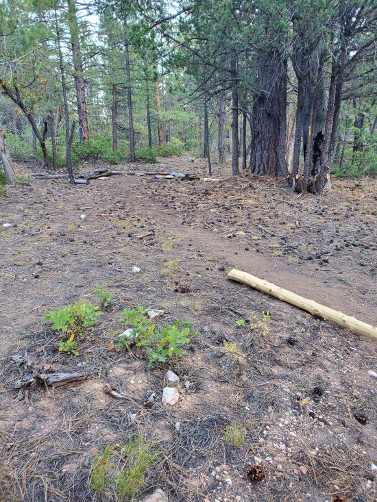
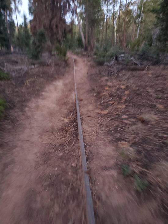
The last quarter of the trail leads through a section of forest impacted by the Lonely forest fire, which burned through the area in 2018.
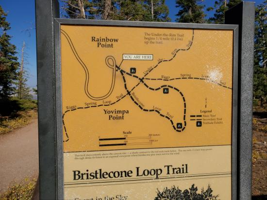
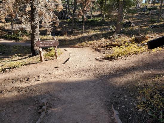
The Riggs Spring Loop Trail ends back at the Rainbow Point parking area after briefly joining up with the Bristlecone Loop Trail.
Closest City or Region: Bryce Canyon National Park, Utah
Coordinates: 37.450134, -112.240907
By Jeremy Dye
Start: 3:45 pm
End: 7:00 pm
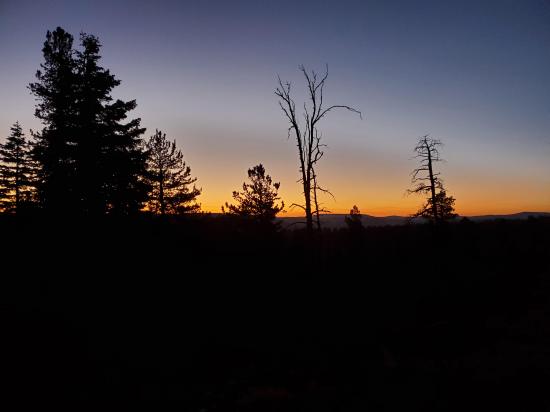
After meeting with the Natural History Association for a work project, I decided to hike the the Riggs Spring Loop Trail. I didn't put a lot of research in ahead of time, and there wasn't any internet signal to check the trail length, so I just went for it. The map made it look like the trail was about 4 miles long, and I didn't realize it was actually 9 miles long. If I had realized it was as long as it was, I would have saved this hike for another time because I had to finish the trail in the dark. I had a headlamp and snacks and water, so I was fine; and it really wasn't that big of a deal; it just ended up being longer than I expected. The trail was nice, but it was less scenic than I was expecting. It was interesting to see the burned trees and how some of them were still standing despite being burned significantly and having almost no thickness left at the bottom. The hike up Yovimpa Pass was nice, but I pushed myself to go fast, and it was quite tiring. I only saw two other groups on the trail.

Skutumpah Road Primitive Camping
Shakespeare Arch/Sentinel Trail
Bryce Canyon National Park Visitor Center
Bryce Canyon Wranglers at Ebenezer's Barn and Grill
 National Register of Historic Places
 Non-potable Water - filterable
 Hoodoos
 Mountains
 Marked Trails
 Road Access is Paved
 Viewpoint, Overlooks, Vistas
 Hiking Trails
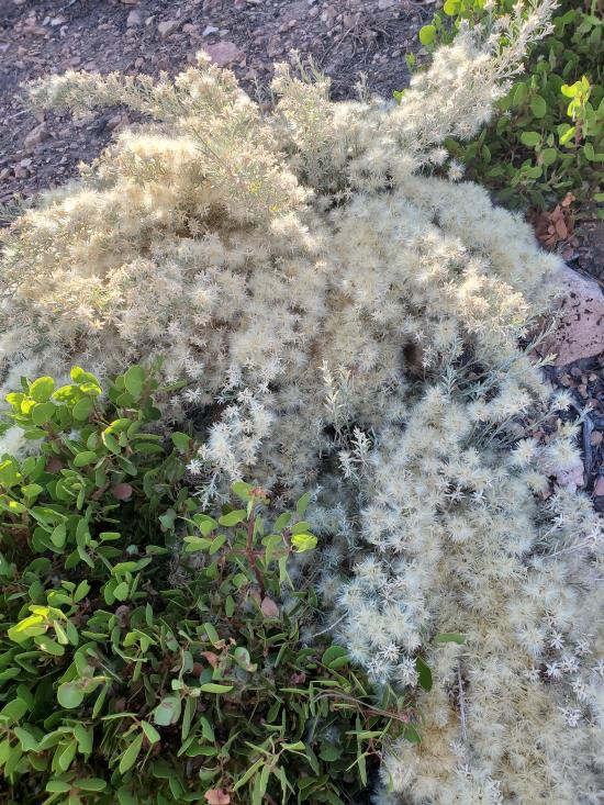
 Wildflowers and Vegitation
 Wildlife and Birding