 Hiking | River House Ruin


Hype:
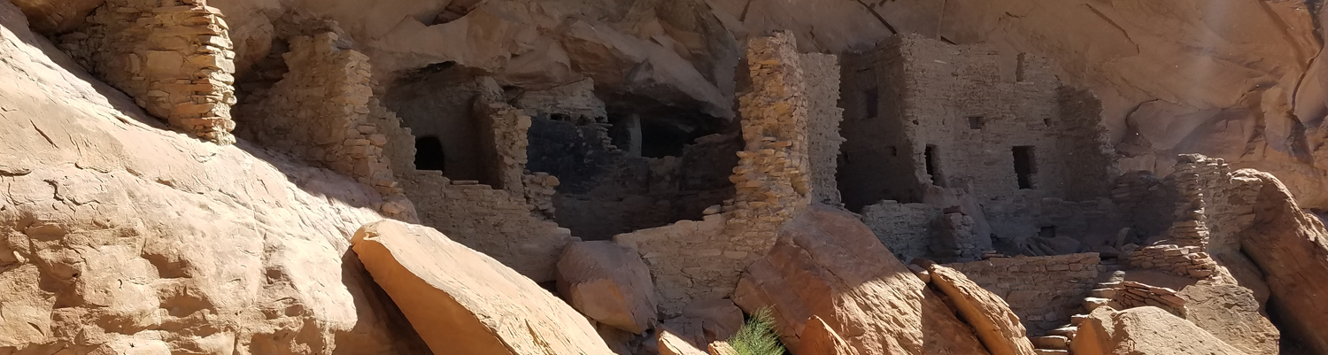
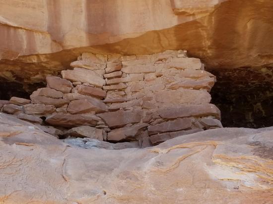
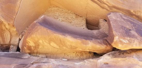
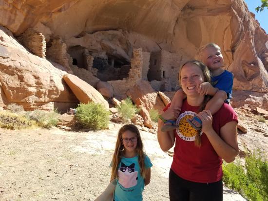
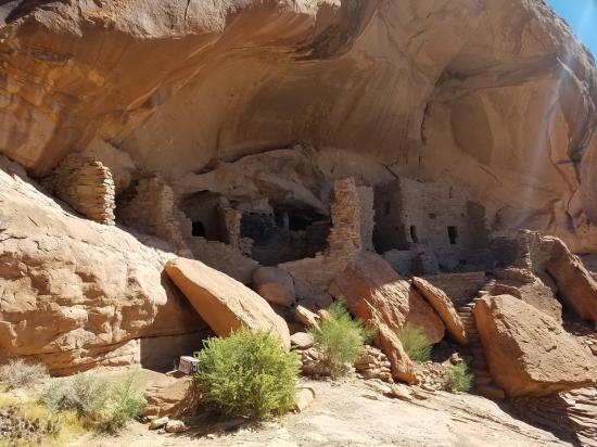
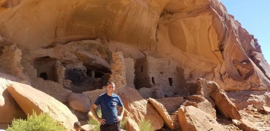
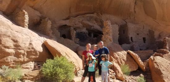
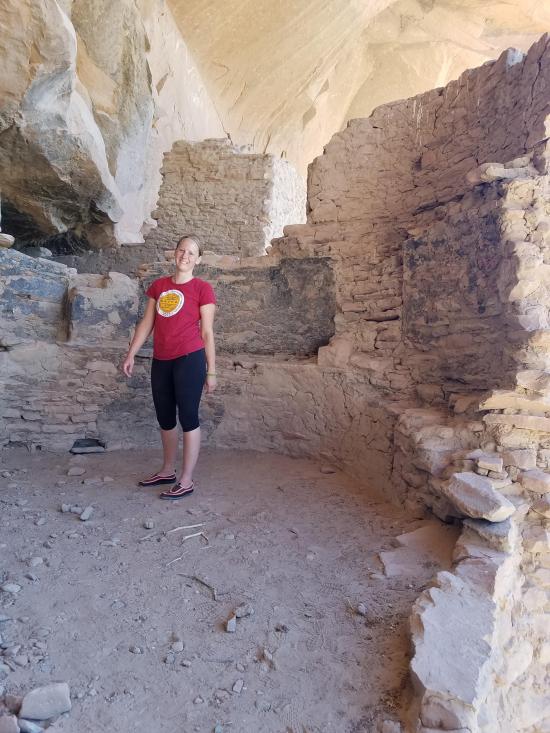
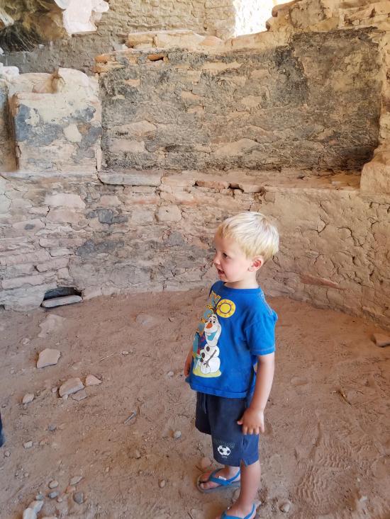
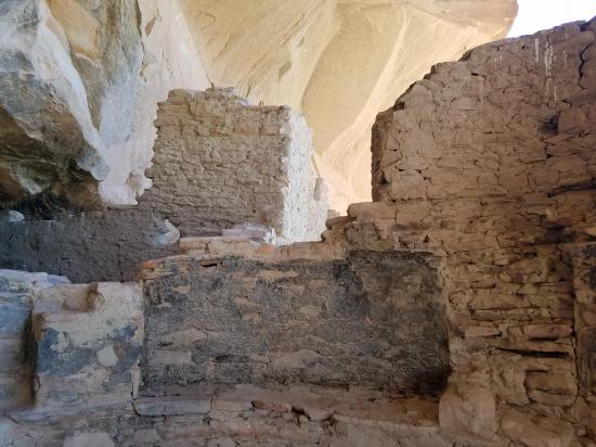
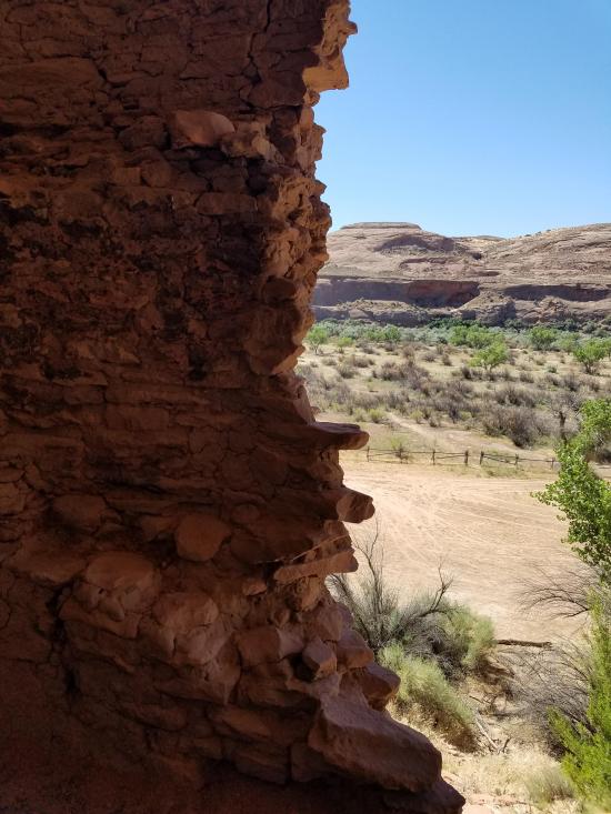
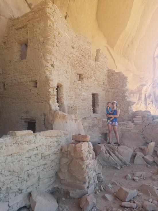
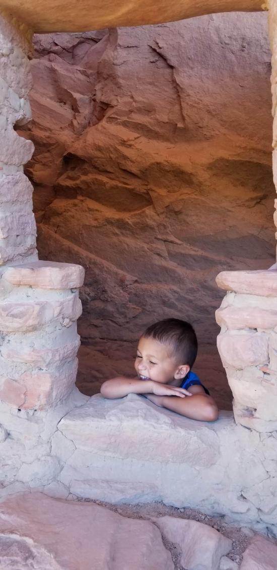
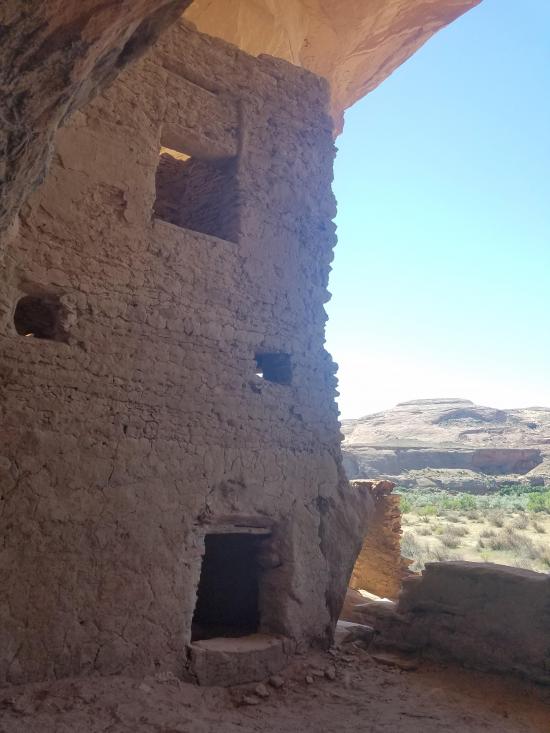
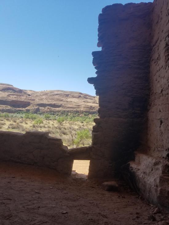
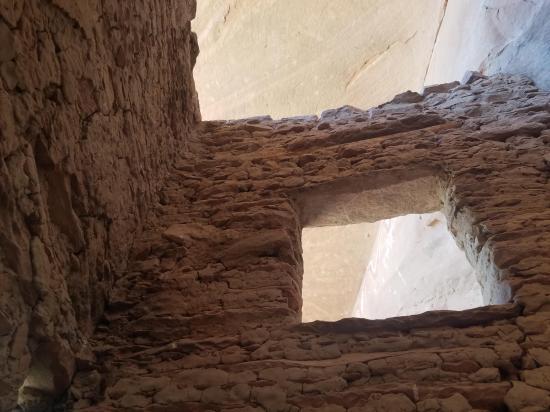
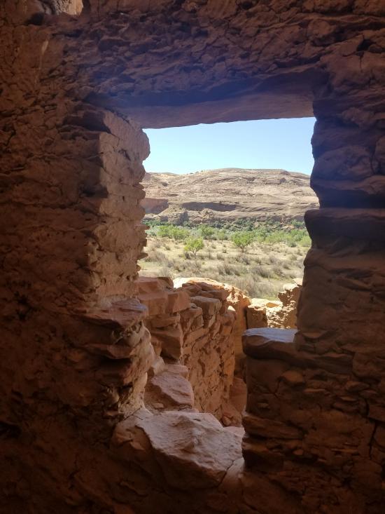
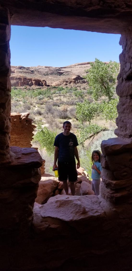
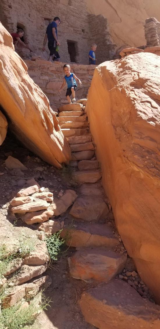
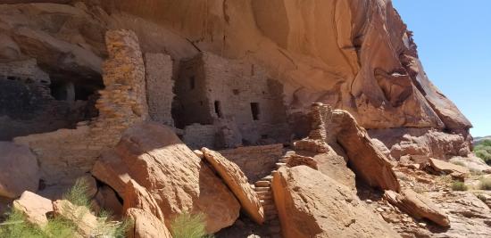
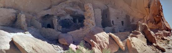
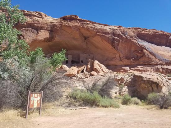
River House Ruin is an ancestral Puebloan cliff dwelling built along the San Juan River in what is now southeastern Utah. Prehistoric farmers occupied this stone-walled dwelling between AD 900 and the late 1200s. River house Ruin is on public lands on the north side of the San Juan, six miles downstream from Sand Island Bridge. At the ruin, you can walk among the still-standing walls, admire the rock art painted and etched on the cave overhang, and examine fragments of pottery and stone tools.
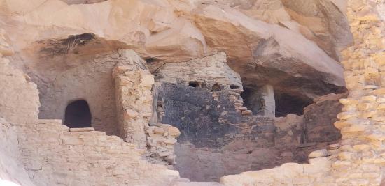
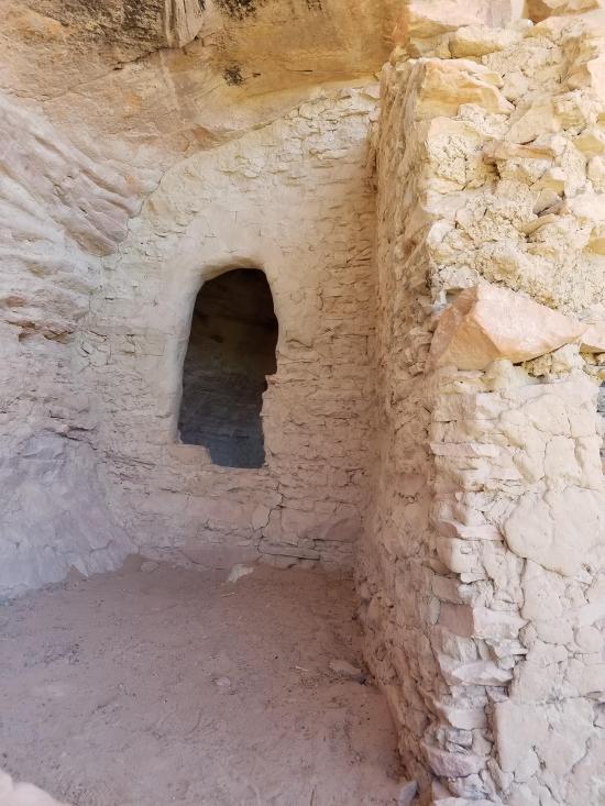
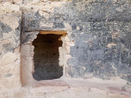
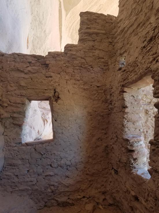
River House Ruin is an ancestral Puebloan multi-room dwelling. The rectangular rooms were used for both living and storage, while the circular rooms (kivas) were primarily used for religious purposes. The number of rooms and kivas and their arrangement within the cave suggest that two religious or social groups, such as clans, lived here during its final years of occupation.
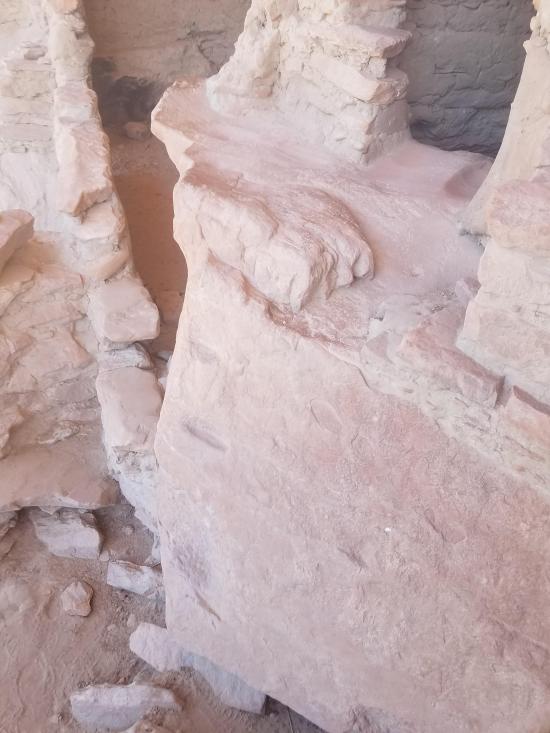
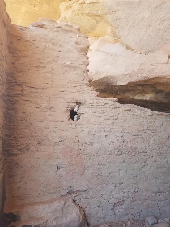
Sandstone and clay, the materials used in building River House, were readily available in the immediate vicinity. The wails were of roughly shaped sandstone blocks set in abundant clay mortar. Some of the interior walls were plastered either with the same brown clay used for mortar or with a red clay from the Chin!e Wash area. The masonry techniques used are characteristic, for the most part, of the Kayenta Anasazi.
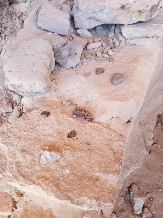
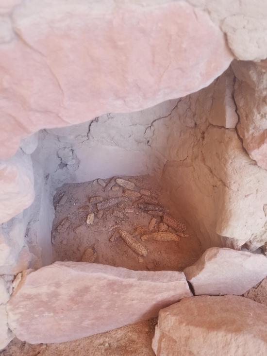
Prehistoric farmers occupied the dwelling. several types of cultivated crops-particularly com, beans, squash, and perhaps cotton-on the arable soils of the San Juan River floodplain near the base of the cliffs. They kept dried crop surpluses in pottery jars, in sub-floor cists, and in storage rooms or granaries. (There are additional granaries along the cliff face on the ledge to the west of the dwelling.) The ancestral Puebloan farmers supplemented their diet with a variety of wild p!2nt foods, such as pinyon nuts, acorns, grass seeds, wild melons, and with deer and rabbit meat. These plant and animal food sources also provided materials for making tools and clothing.
Water for domestic use probably came from a small spring located about 250 feet west of River House at the base of the sandstone cliff, and was usually available from the river as well.
Pottery recovered from River House is similar to that of the ancestral Puebloans of the Mesa Verde and Kayenta areas. Acchaeo!ogists do not know whether this indicates the actual presence of both groups or merely their influence through trade.
Ancestral Pueb!oans occupied River House for several hundred years, beginning about AD 900. Succeeding generations remodeled or dismantled the original rooms. The walls standing today date to the latest period of ancestral Puebloan occupation.
The last generation of ancestral Puebloans living at River House left sometime during the late 1200s. We do not know exactly where they went. Perhaps they joined relatives or friends still living in the region. Eventually, however, they or their descendants probably journeyed south to the mesas and river valleys of what are now the pueblo settlements of Arizona and New Mexico.
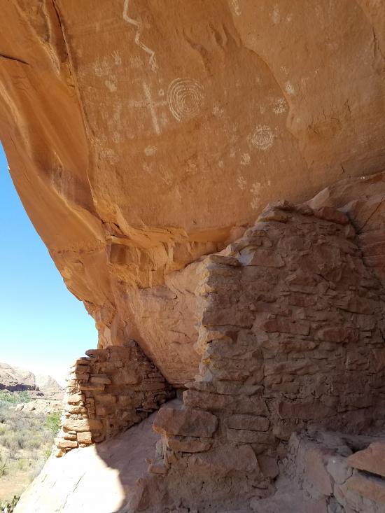
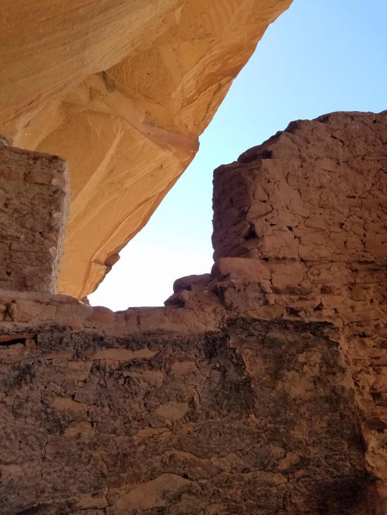
River House Ruin is situated in a cave that admits warm sunlight in the cold months and provides cool shade in the hot summer months.
During the winter, sunlight penetrates deep into the cave, warming the walls and air. At night the heat absorbed by the rock wa!ls radiates back into the rooms. In the summer months sunlight does not enter the back half of the cave. The cool cave walls and the shade from the cave keep the rooms cool, even on hot summer days.
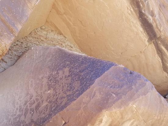
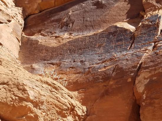
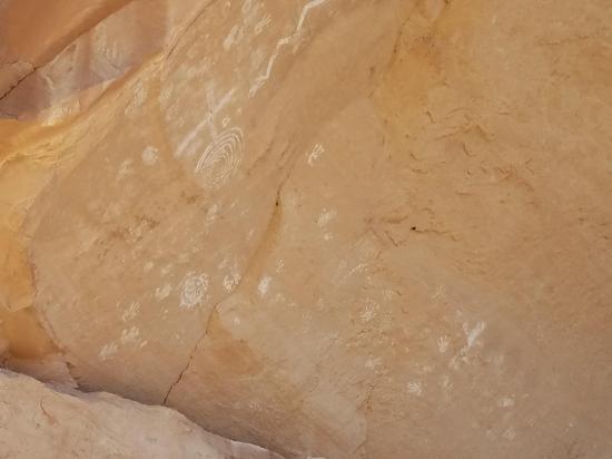
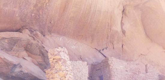
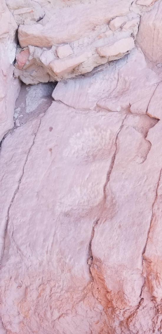
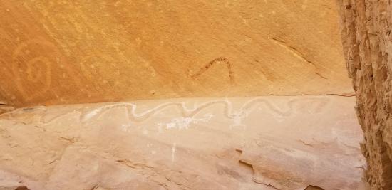
Numerous examples of precolumbian rock art are present on the cave walls at River House, as both petroglyphs (pecked forms) and pictographs (painted forms). Visitors will readily spot the human hands and the large snake figure; human figures, spirals, and mountain sheep require more careful scrutiny. While it is sometimes easy to identify individual motifs in rock art, it is often difficult, if not impossible, to determine what the rock art meant to the ancestral Puebloans.
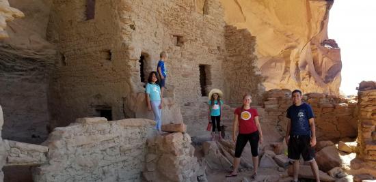
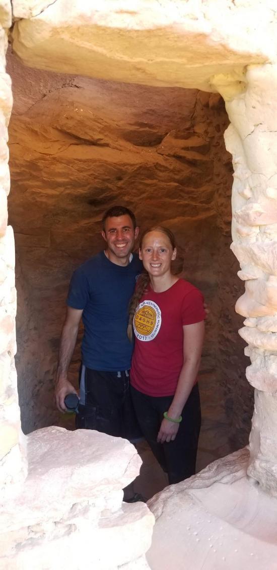
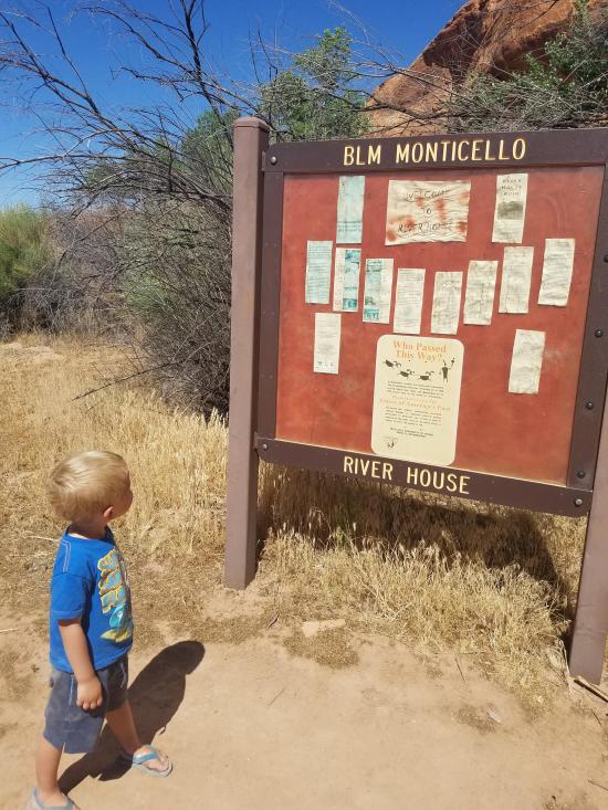
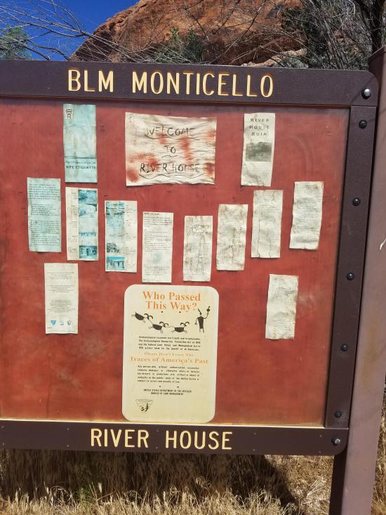
River House Ruin is open for the public to visit. To reach it from the San Juan River, stop at Mile 6 and hike north to the first sandstone bluff.
There are several paths to direct visitor access to the ruin. Please use these paths and do not climb or walk on the walls of the dwelling.
River House Ruin and the prehistoric artifacts associated with it are protected by federal law. It is illegal to remove artifacts from the site or damage the ruin. Violation of the Archaeological Resources Protection Act can result in stiff penalties, including heavy fines and jail sentences.
River House Ruin and the nearby Kachina Petroglyph Panel are located on lands managed by the Bureau of Land Management. There are private lands between these BLM properties. You cannot walk between the petroglyph panel and the River House Ruin without trespassing on private land. PLEASE respect private landowner rights and do not trespass.
Trail Condition: Class 3 (Trail may have sections where hands are needed. Trail may not be visible in spots or may not exist at all.)
Time: 1-2 hours
Length: 1 mile
Elevation Gain: Negligible
Fees: None
Recommended Ages:
 | 0-3 |
 | 4-11 |
 | 12-19 |
 | 20-49 |
 | 50-69 |
 | 70+ |
Recommended Months to Visit:
| Jan |
| Feb |
| Mar |
| Apr |
| May |
| Jun |
| Jul |
| Aug |
| Sep |
| Oct |
| Nov |
| Dec |
Navigate to 37.222834, -109.687951.
By Jeremy Dye
Jeremy Dye, Tara Dye, Savannah Dye, Madilyn Dye, Cooper Dye, Ondylyn Wagner, Killian Wagner,
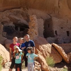
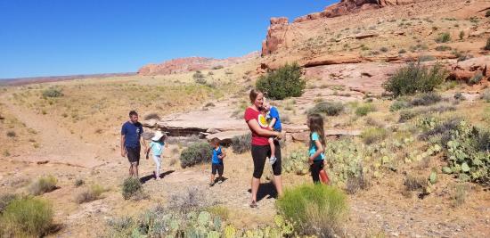
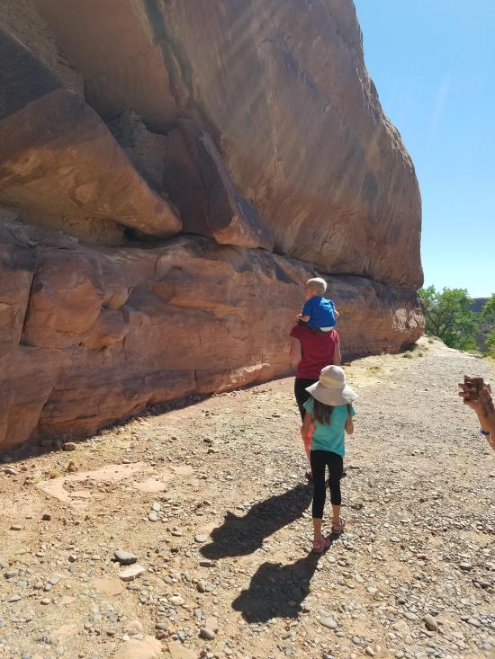
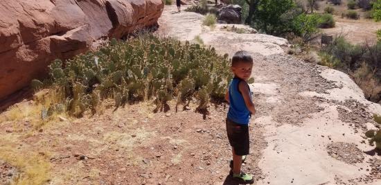
On our canoe trip down the San Juan River, we stopped and camped at Barton's Trading Post. In the morning, we hiked up to San Juan Hill. After that, we hiked over to the River House Ruin. We weren't really expecting much, but we were completely blown away by how awesome it was. We had the place all to ourselves and enjoyed exploring the ruins. After we were done, I hiked back to camp with the kids while Tara and Ondy set out to find the petroglyphs that were supposedly just east of the ruins. We must have been mistaken because they hiked for a long time and didn't see any petroglyphs. They did stumble across some awesome moki steps though, so that was cool.


_550w.jpg)

 County Road 227A Primitive Camping
 Natural Bridges National Monument
 Horsecollar Ruin Overlook Trail
 Natural Bridges National Monument Visitor Center
Natural Bridges National Monument
Edge of the Cedars State Park Museum
Edge of the Cedars State Park Interpretive Trail
 San Juan River from Sand Island to Mexican Hat
Recapture Pocket Primitive Camping
Mesa Verde National Park Visitor and Research Center
Chapin Mesa Archaeological Museum
Hovenweep National Monument Visitor Center
Canyons of the Ancients National Monument Visitor Center and Museum
Canyon Country Discovery Center
County Road 227A Primitive Camping
Grotto Trailhead Primitive Camping
Recapture Pocket Primitive Camping
 Artifacts
 Petroglyphs and Pictographs
 Structures, Ruins, Dwellings
 No Drinking Water
 Interpretive Signs
 Wayfinding