 Paddling | San Juan River from Sand Island to Mexican Hat


Hype:
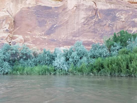
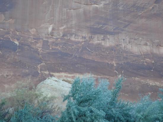
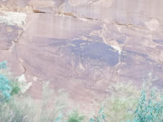
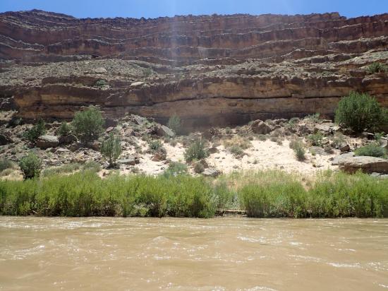
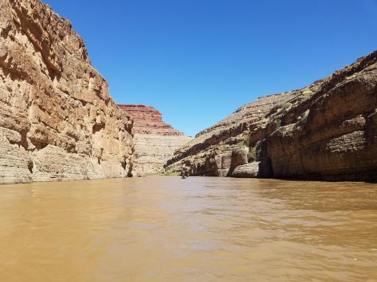
The San Juan River from Sand Island to Mexican Hat is 27 miles long. This scenic section of river is mostly calm with a couple of rapids. Along the way, there are numerous scenic attractions including Sand Island Petroglyphs, Upper and Lower Butler Wash Petroglyphs, the River House Ruin, Barton's Trading Post, San Juan Hill, and Mexican Hat Rock.
Time: 1-2 days
Length: 27 miles
Fees: Reservation
Recommended Ages:
 | 0-3 |
 | 4-11 |
 | 12-19 |
 | 20-49 |
 | 50-69 |
 | 70+ |
Recommended Months to Visit:
| Jan |
| Feb |
| Mar |
| Apr |
| May |
| Jun |
| Jul |
| Aug |
| Sep |
| Oct |
| Nov |
| Dec |
Links: Check Flow Rate
Navigate to 37.261570, -109.612359.
Closest City or Region: San Juan County, Utah
Coordinates: 37.261570, -109.612359
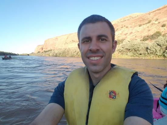
By Jeremy Dye
Jeremy Dye, Tara Dye, Savannah Dye, Madilyn Dye, Cooper Dye, Ondylyn Wagner, Killian Wagner,
Day 1: 7.0 miles in 1 hour 20 minutes
Day 2: 20.4 miles in 5 hours
Average Canoeing Speed: 27.4 miles in 6 hours and 20 minutes = 4.3 mph
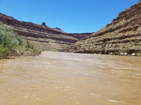
River Flow Rate: 6,210 cfs (really high)
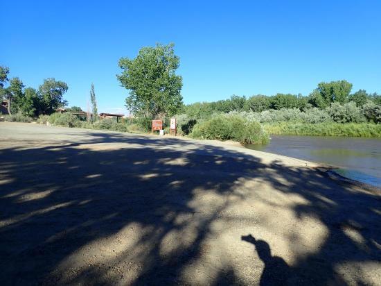
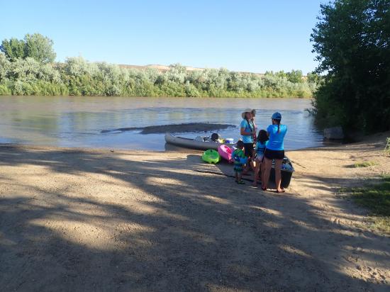
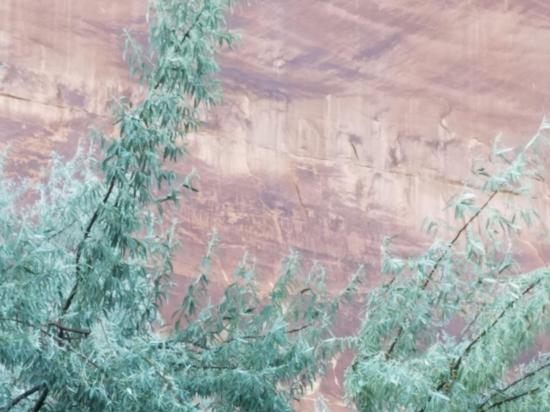
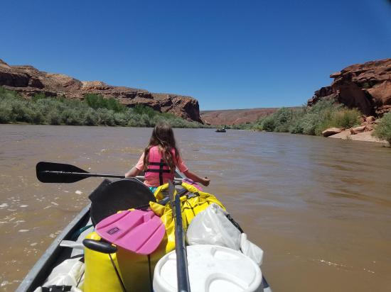
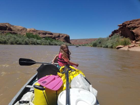
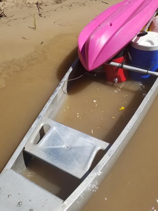
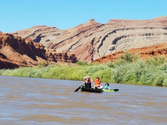
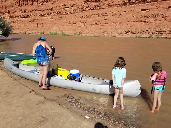
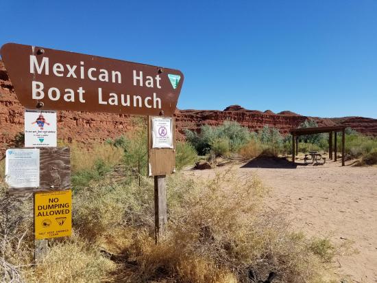
We had a really great time on this trip! I was talking to a coworker about our canoe trip down Labyrinth Canyon a few years ago, and he recommended that we canoe the San Juan River. We did a bunch of research and made a trip of it. We dropped the canoes and gear off at the Sand Island Boat Ramp then we took the truck and trailer down to Mexican Hat and left them at the Mexican Hat Boat Launch. Then we drove the van back to Sand Island. We stopped and checked out the Sand Island Petroglyphs, which were amazing! It took about 2 hours to drop off the shuttle vehicle and see the petroglyphs.
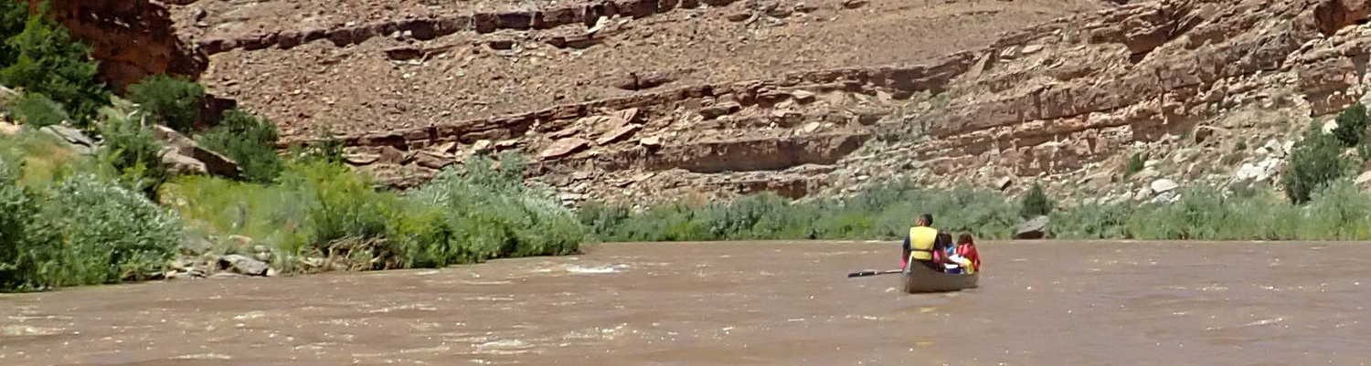
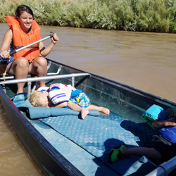
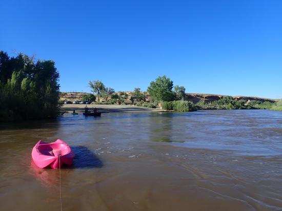
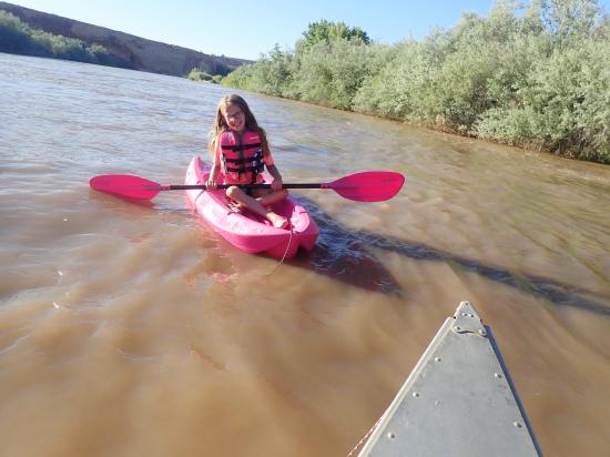
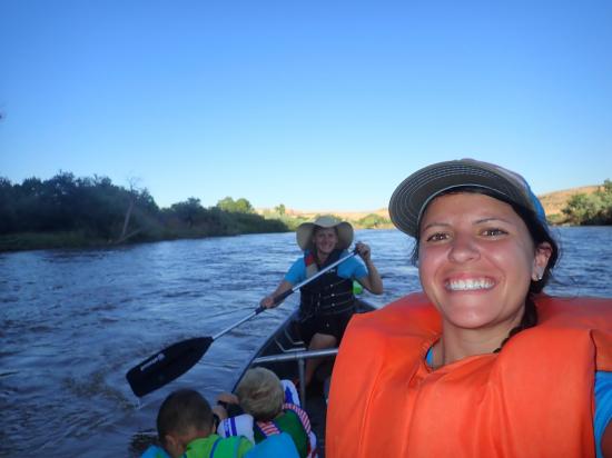
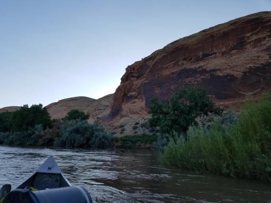
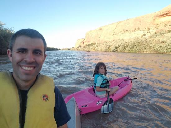
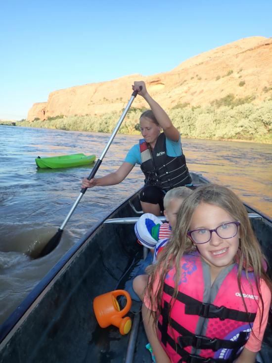
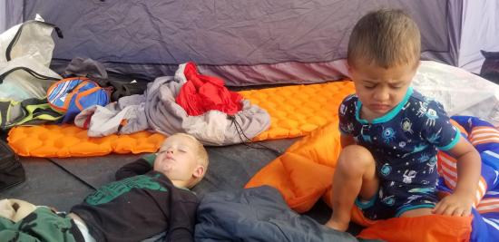
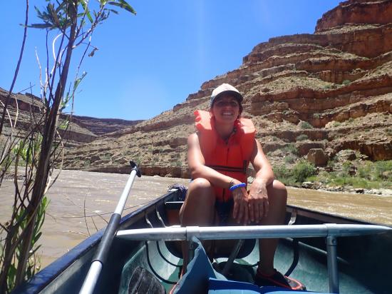
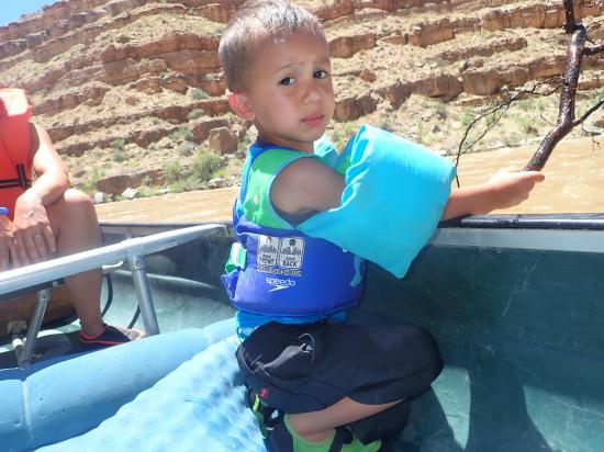
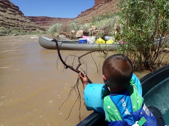
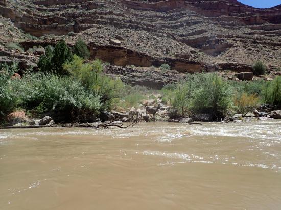
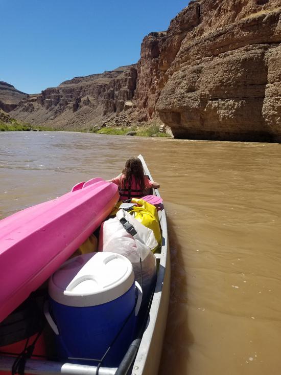
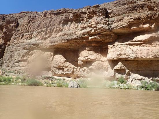
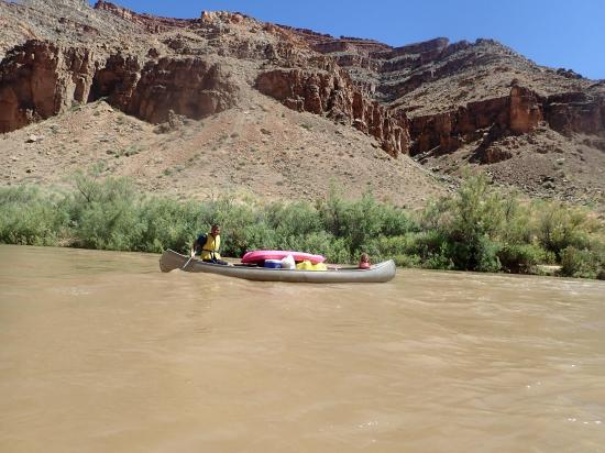
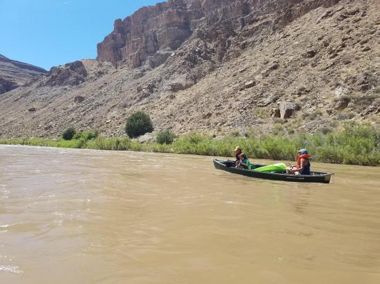
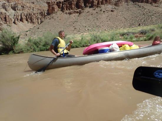
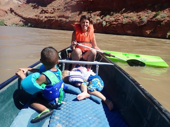
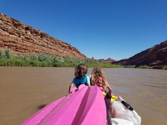
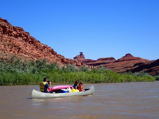
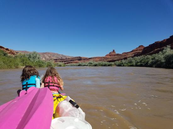
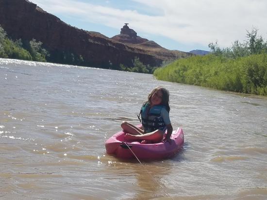
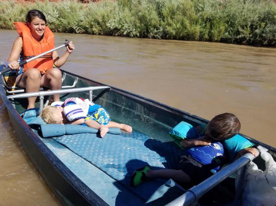
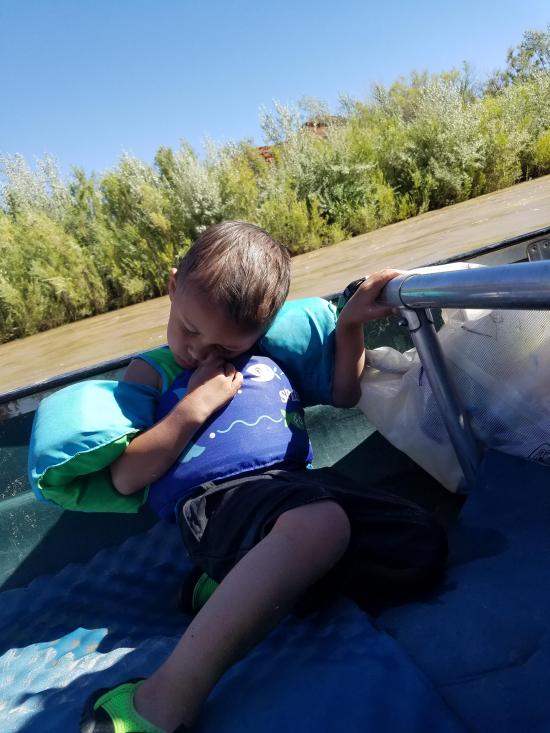
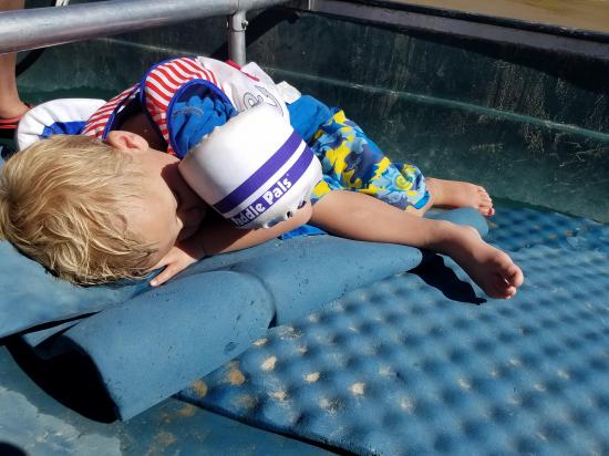
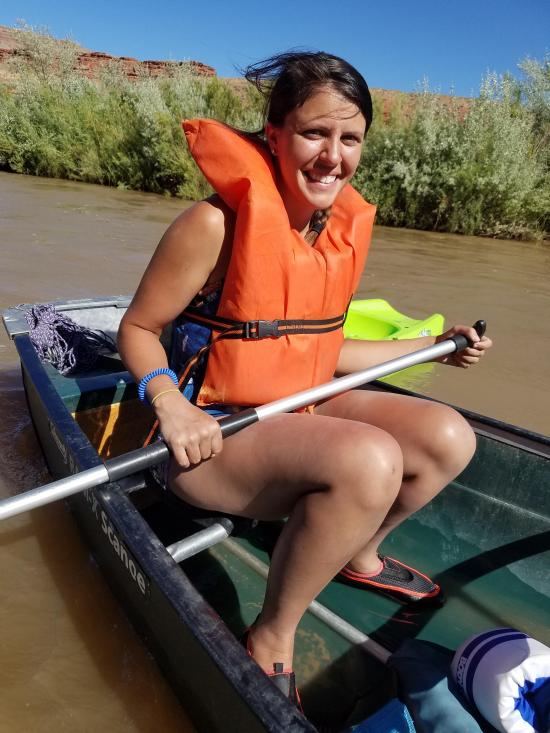
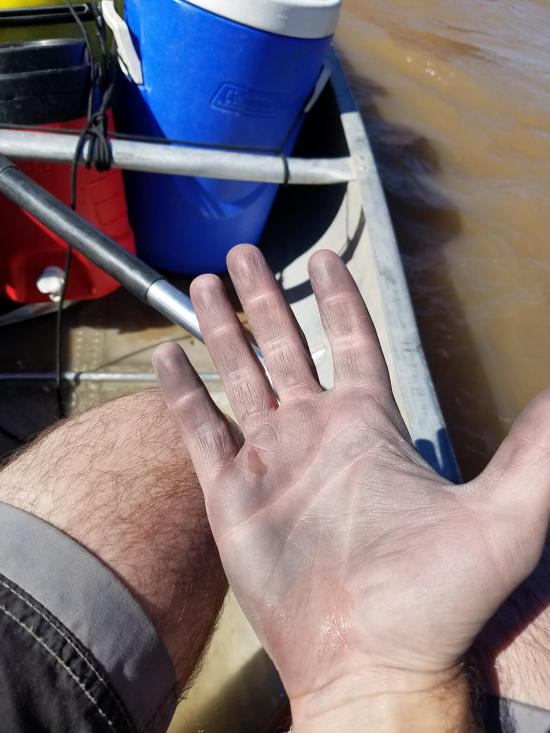
We launched around 6:50 p.m. and canoed the 7.0 miles to camp in 1 hour and 20 minutes. The river was really high due to all the spring rain, so the river was flowing really fast. Ondy and Tara were in the green plastic canoe with the boys in the middle on pads, and Savannah towed behind on the kayak. I was in the aluminum canoe with all of the gear and with Madi behind me. We were expecting a lot calmer river that it was, which is why we brought the kayaks along. Early on, Savannah was riding her kayak (mostly just being towed but also paddling a bit) when Tara and Ondy got stuck in a current that pushed them close to the right bank. Savannah got in a jousting match with a tree branch that stabbed her right in the chest and knocked her off the kayak. Luckily she had her life jacket on, so she wasn't hurt. But she did get very wet. After that, she mostly rode with me in the aluminum canoe. Going around the Tiger Wall, Savannah and I weren't able to paddle hard enough against the current, and we were swept against the wall. We just pulled our paddles in and stayed low in the canoe so we wouldn't tip over and let the current push us along. There was quite a bit of scraping, but we did OK.
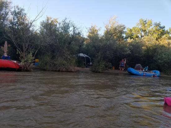
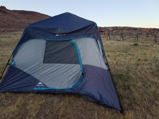
Because we were one of the last groups of the day, most of the main camps were full by the time we made it down. We ended up camping right at Barton's Trading Post. After our fiasco with biting gnats at our previous campsite, we were really scared that the bugs would be horrible. There were a couple mosquitoes, but it was completely manageable. We cooked dinner then settled down for the night.
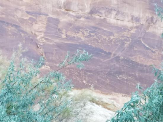
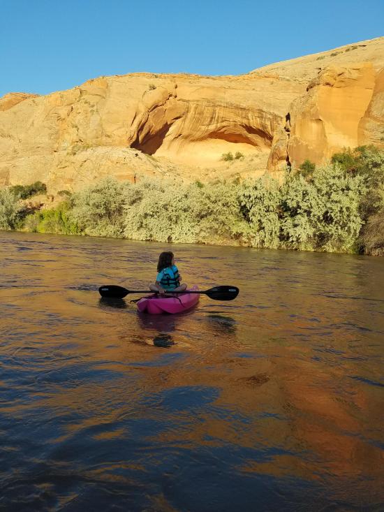
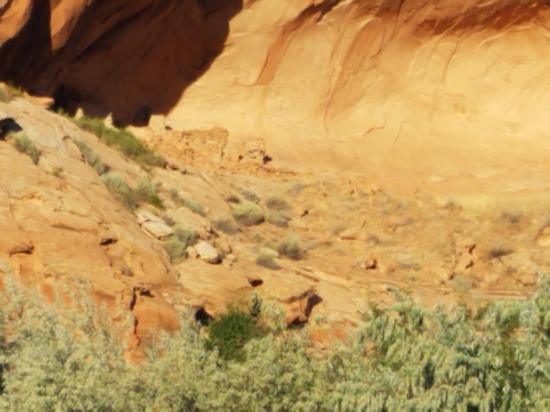
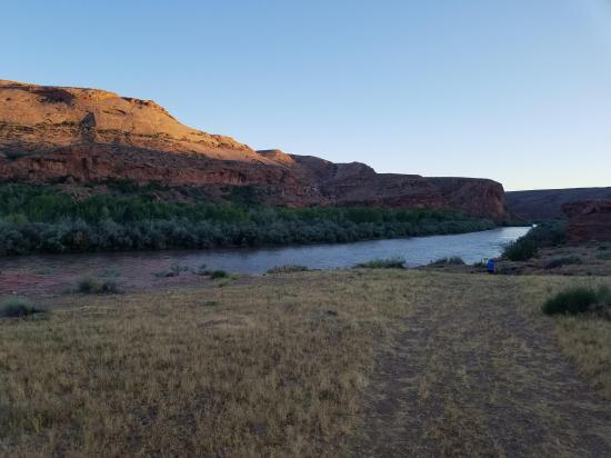
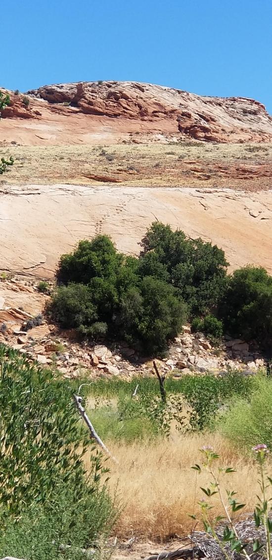
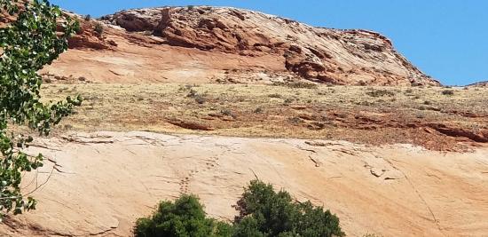
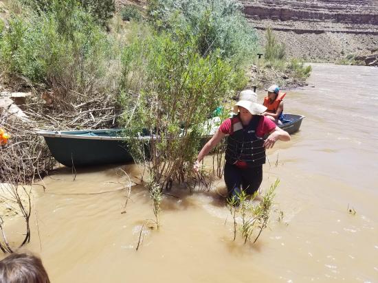
The next morning, we made breakfast then we explored around a bit. We hiked up to San Juan Hill. We had learned a bit about the Hole-in-the-Rock Expedition's trek up San Juan Hill from the video at Bluff Fort, so it was cool to see the hill first hand. After that, we hiked over to the River House Ruin. We weren't really expecting much, but we were completely blown away by how awesome it was. We had the place all to ourselves and enjoyed exploring the ruins. After we were done, I hiked back to camp with the kids while Tara and Ondy set out to find the petroglyphs that were supposedly just east of the ruins. We must have been mistaken because they hiked for a long time and didn't see any petroglyphs. They did stumble across some awesome moki steps though, so that was cool.
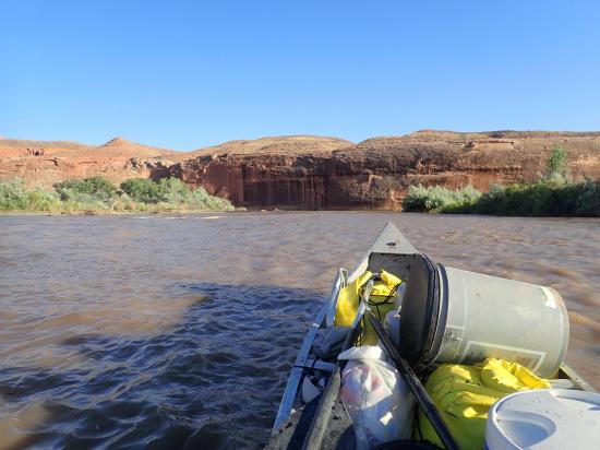
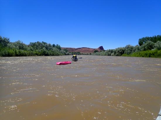
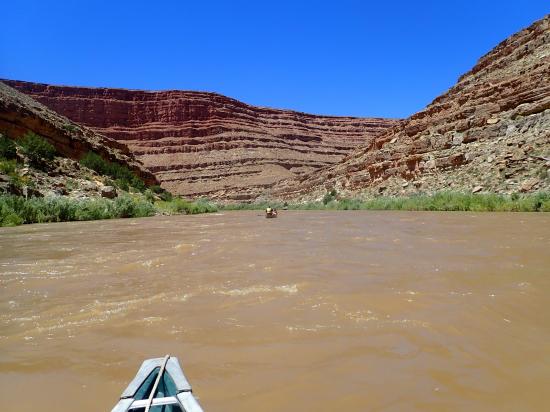
Back at camp, we packed up camp and loaded everything back in the canoes. We started canoeing around 12:20. We weren't in a big hurry because the river was going so fast. We were quite anxious about the rapids because we didn't know how bad they would be during high water. The river was very choppy the whole time, and we had to paddle constantly just to keep the canoe centered in the river and the bow pointed downstream. We were afraid that we would capsize if we hit any of the bigger swells at an angle. When we finally made it to 4 Foot Rapid, we were quite relieved. The 4 Foot Rapid was no worse than the last couple miles of rapids we had done. We didn't get very many pictures of the rapids because we couldn't take our hands off the paddles.
Right after 4 Foot Rapid, we pulled over on the bank and ate lunch. We were still anxious about the rapids ahead but were a little more confident since one was behind us. When we reached 8 Foot Rapid, we had a great time through it. It was really choppy but fun. As long as we kept the canoe pointed downstream, we weren't capsized. The waves were about 2 feet tall and the wave train was quite sustained.
Ledge Rapid turned out to be more than we could handle. Savannah and I went down first. We hits the rapids straight on and did everything perfect, but the biggest wave still crested at least two feet above the top of our canoe. The one wave almost completely filled our canoe. We rode out the wave train almost completely capsized then made our way over to shore to empty our canoe.
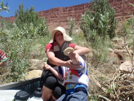
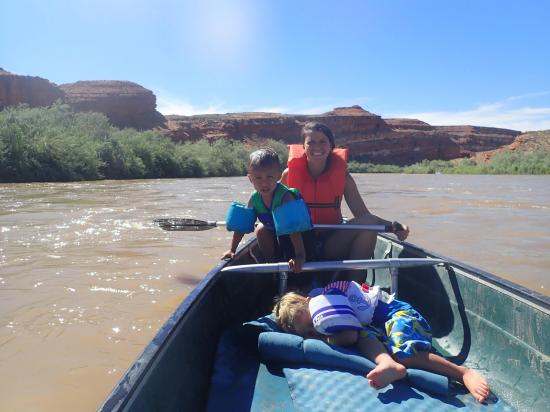
Tara, Ondy, Madi, Cooper, and Killian came down next. They hit the waves head on and kept their canoe in perfect position, but they also took on a lot of water. Cooper and Killian were lying down in the bottom of the canoe under the shade of the kayak when they got sloshed around with a giant wall of water in the canoe. Needless to say, they were a little bit distraught by their new surroundings. They were fine, just scared a little bit. As they passed Savannah and me, we threw them a rope and pulled them over to shore so they could empty their canoe as well.
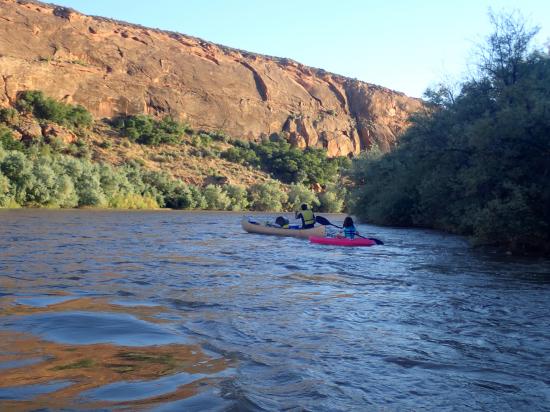
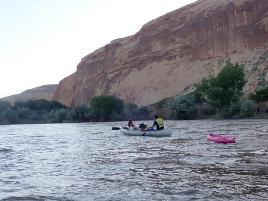
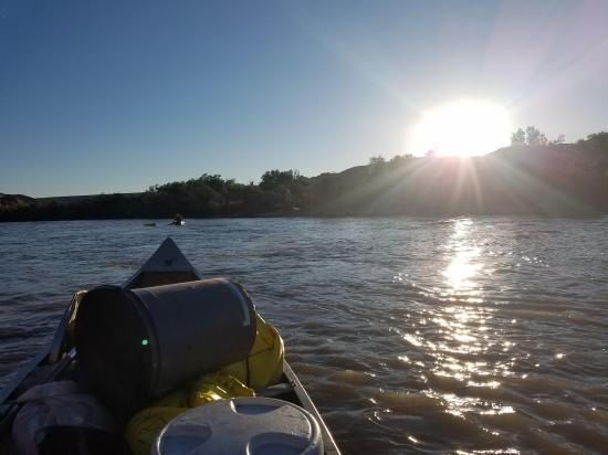
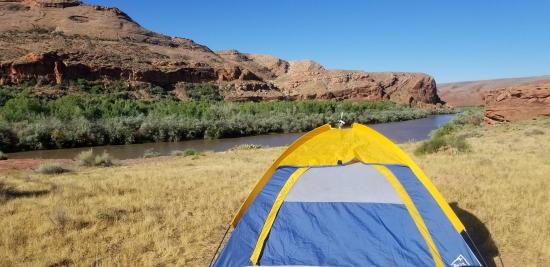
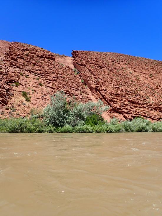
We got the canoes empties and the boys comforted then hopped back in the canoes for the last leg of the journey. The last few miles were a lot flatter and calmer and the girls were able to hop back on their kayaks for a bit. We crossed through some very scenic cliffs and the wind picked up a bit. Because my canoe was back heavy and I was the only one paddling, the front of my canoe acted like a sail. I couldn't keep my canoe pointed downstream, so I ended up paddling backwards for a couple miles. We soon saw Mexican Hat Rock poking up into the sky and knew our float was almost over. We reached the Mexican Hat Boat Launch around 5:20 p.m.
All on all, it was a very fun float. We were pretty anxious for most of the float because we didn't know what was ahead. I think if we did it again, we would enjoy it even more because we wouldn't have to worry about whether or not we would be able to handle what was ahead. That being said, I definitely wouldn't recommend this trip for others in canoes with small children. We've done a lot of white water and know how to handle canoes and even then it was a stretch of our abilities. I would however recommend this trip for competent adults in canoes or children in rafts.

 County Road 227A Primitive Camping
 Natural Bridges National Monument
 Horsecollar Ruin Overlook Trail
 Natural Bridges National Monument Visitor Center
Natural Bridges National Monument
Edge of the Cedars State Park Museum
Edge of the Cedars State Park Interpretive Trail
 San Juan River from Sand Island to Mexican Hat
Recapture Pocket Primitive Camping
Mesa Verde National Park Visitor and Research Center
Chapin Mesa Archaeological Museum
Hovenweep National Monument Visitor Center
Canyons of the Ancients National Monument Visitor Center and Museum
Canyon Country Discovery Center
Recapture Pocket Primitive Camping
County Road 227A Primitive Camping
Grotto Trailhead Primitive Camping
 Artifacts
 Petroglyphs and Pictographs
 Structures, Ruins, Dwellings
 Non-potable Water - not filterable
 Rivers and Streams
 Ghost Towns
 Pioneer
 Primitive Camping
 Wayfinding
 Road Access is Dirt - Low Clearance
 Access Road is 2WD Accessible
 Hiking Trails
 Swimming - Outdoor
 Paddling
 Wildflowers and Vegitation
 Wildlife and Birding
 Fishing