 Canyoneering | Paradiso Canyon


Hype:
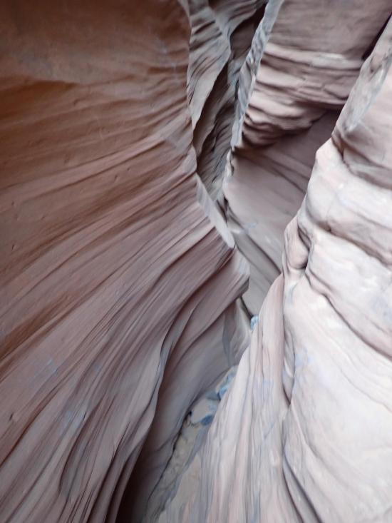
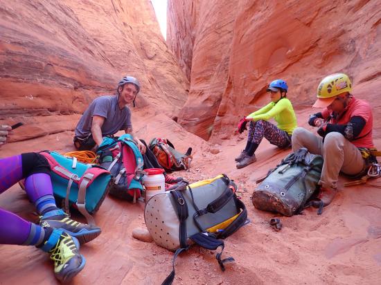
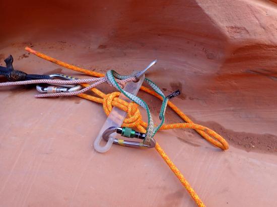
Paradiso Canyon is an upper intermediate canyon with sustained stemming sections, scenic narrows, fun down climbs, easy potholes, a couple of pools, and a couple of rappels. The stemming has some exposure, and the moves are moderately difficult. Paradiso is well-traveled, so anchors are generally set up already, but you should be prepared to build your own anchors. The canyon has an easy approach and two options for the exit.
Canyon Rating: 3A/B 
Time: 3-5 hours
Length: 2.2 miles from Trailhead to Junction at bottom of canyon, then 1.5 miles via climber's exit or 3.1 miles via hiker's exit
Longest Rappel: 80 ft
Gear: Standard rappelling gear, knee and elbow pads, light pack
Fees: None
Recommended Ages:
 | 0-3 |
 | 4-11 |
 | 12-19 |
 | 20-49 |
 | 50-69 |
 | 70+ |
Recommended Months to Visit:
| Jan |
| Feb |
| Mar |
| Apr |
| May |
| Jun |
| Jul |
| Aug |
| Sep |
| Oct |
| Nov |
| Dec |
Navigate to 37.686711, -110.536334.
For the most part, you should be able to follow Google Maps. However by default, Google Maps navigation will (as of 2019) take you on a stretch of road that is extremely rough and impassible. At 37.695308°, -110.583872°, turn south instead of continuing northeast. Stay left at the next 4 forks, and the roads will meet back up at 37.695963°, -110.553218° where you will turn southeast and continue to the trailhead.
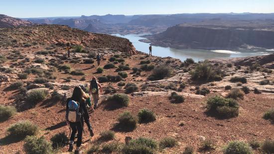
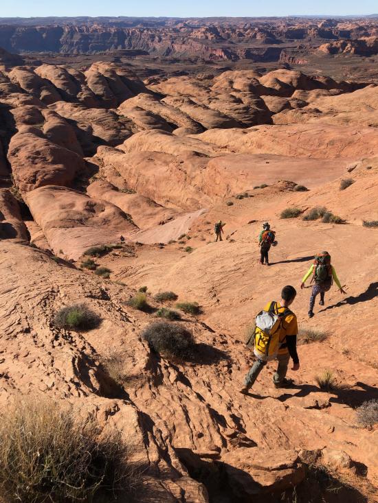
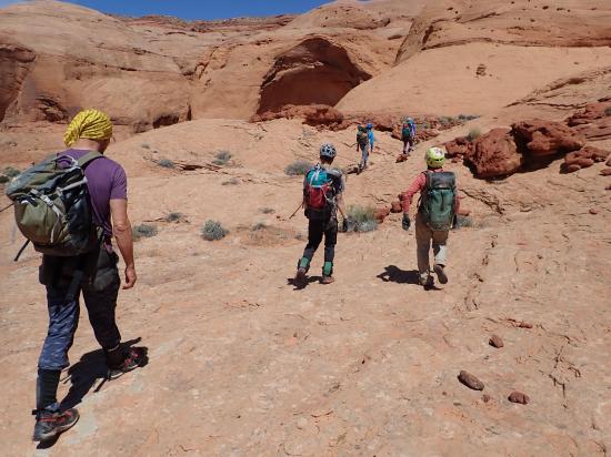
From the trailhead hike northeast along the rim following social trails until you arrive at a break in the rim above the canyon. Climb down the rubble pile then walk down a slickrock fin to the top of the canyon.
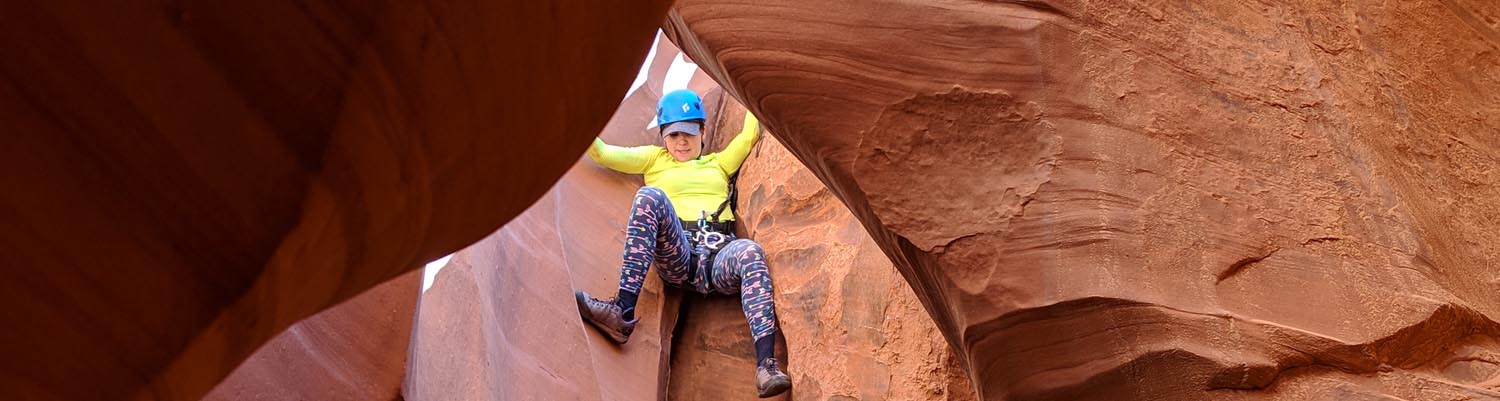
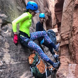
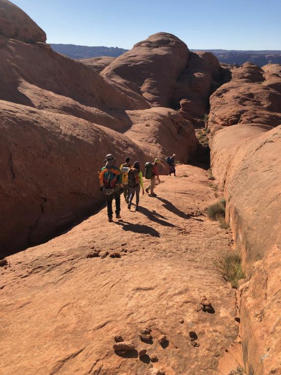
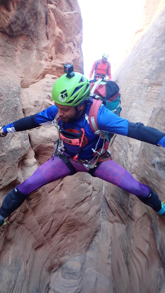
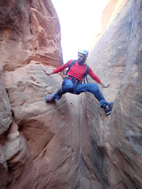
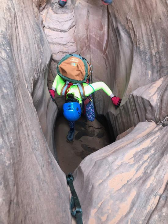
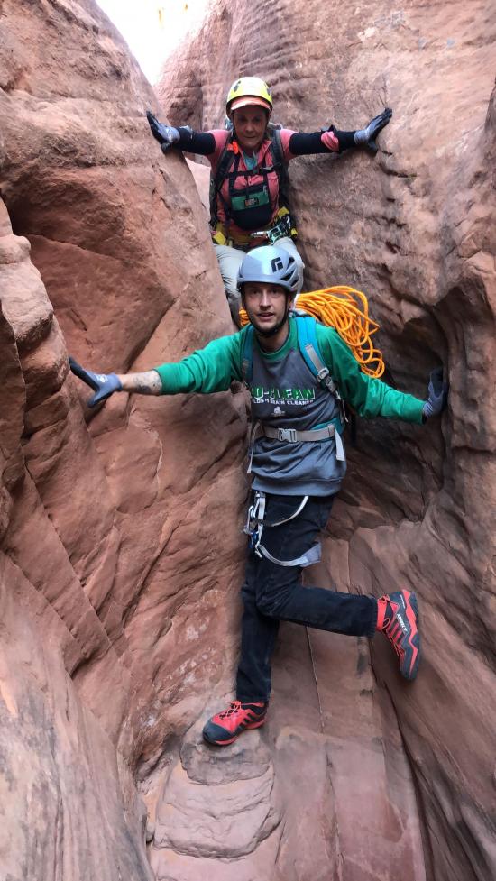
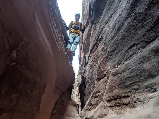
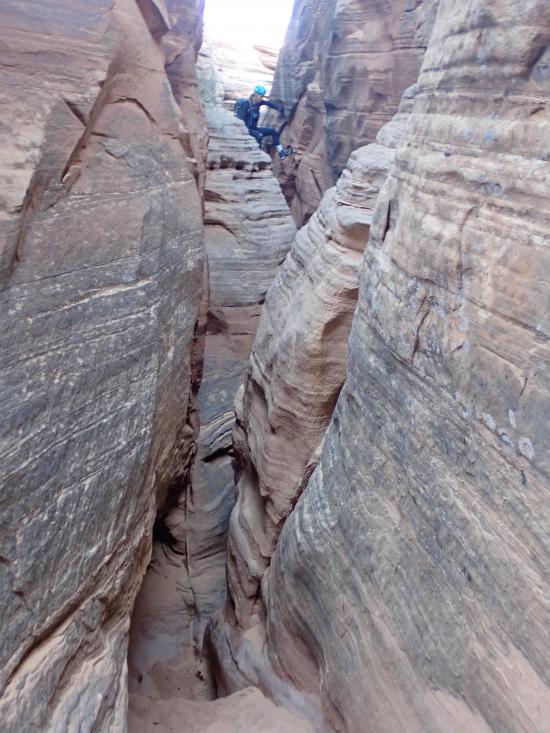
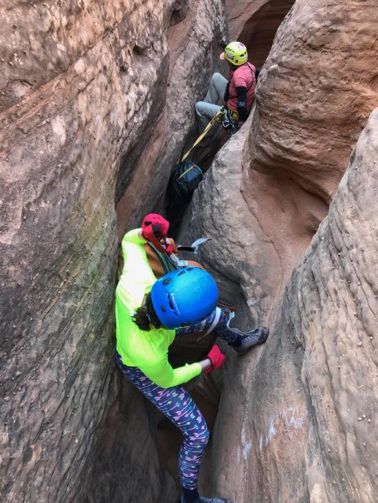
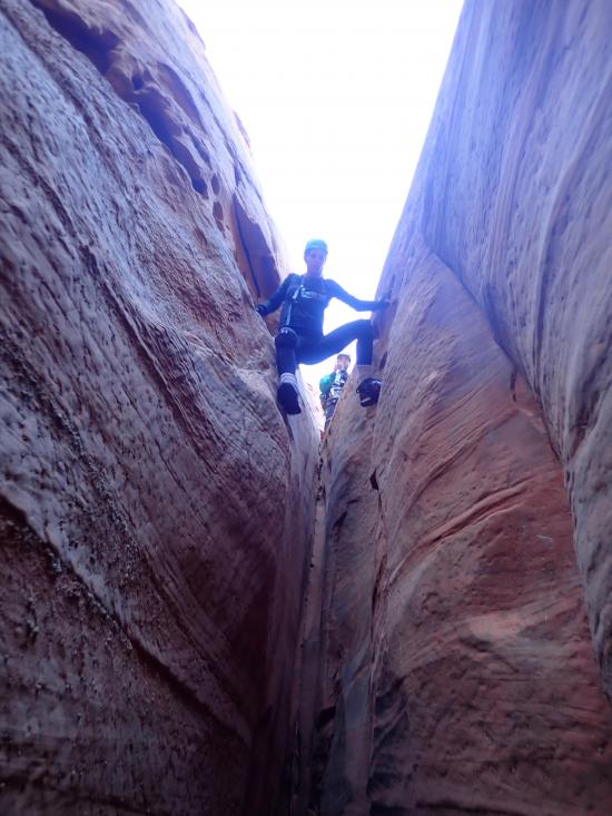
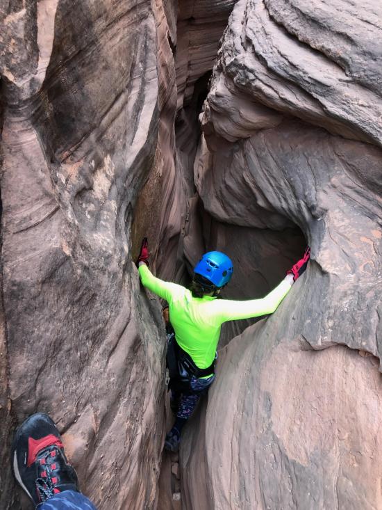
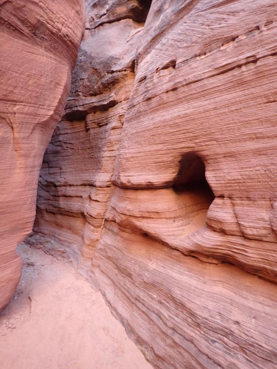
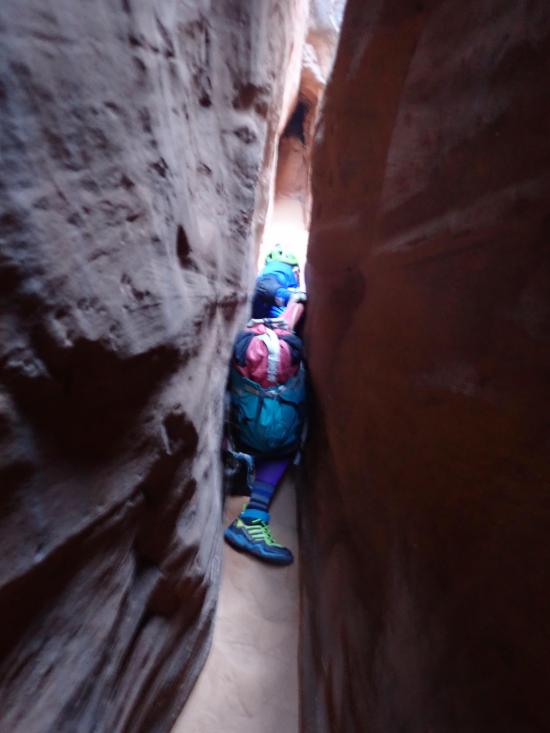
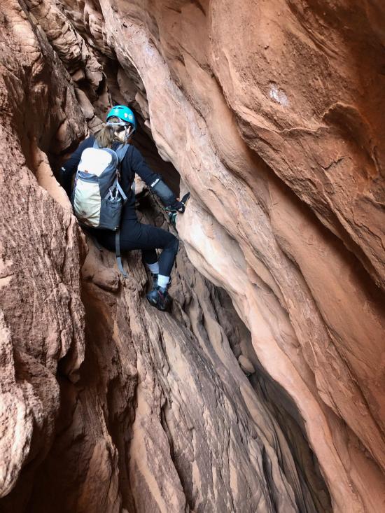
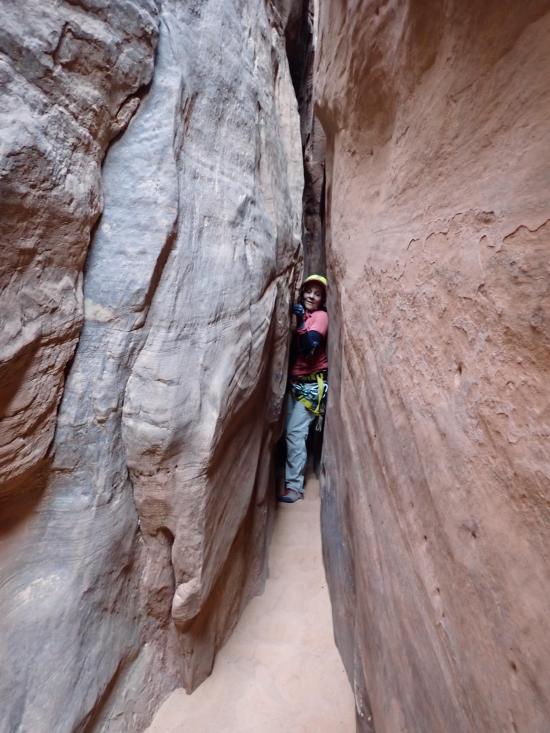
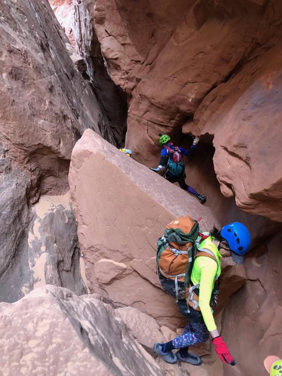
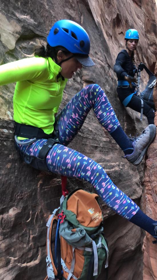
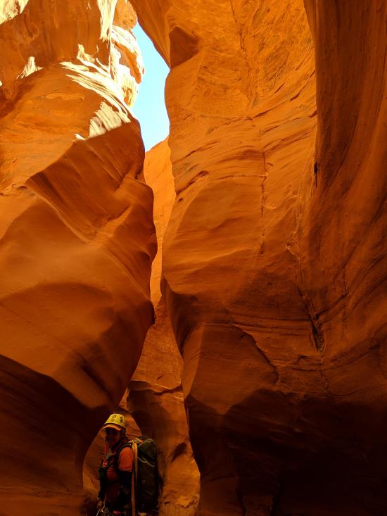
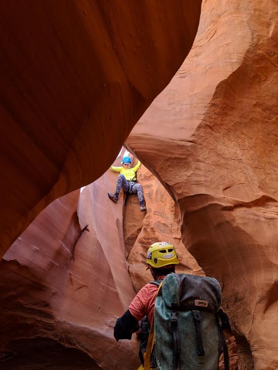
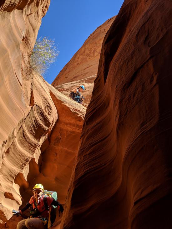
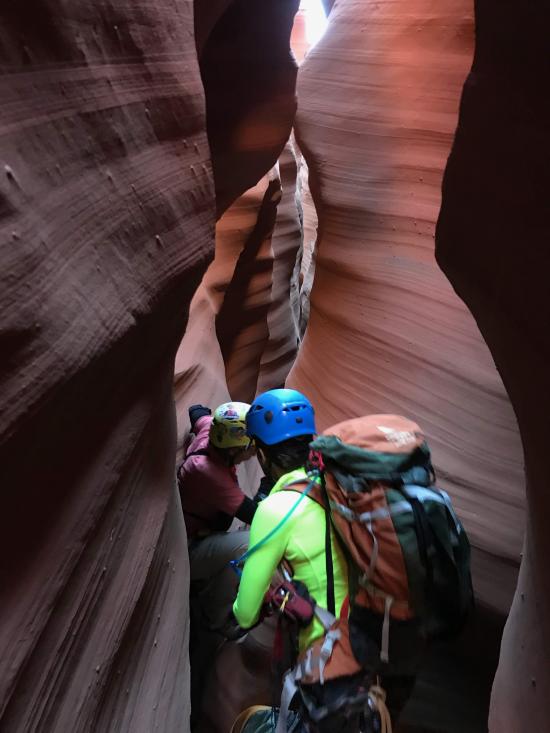
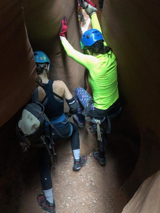
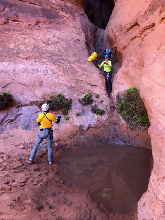
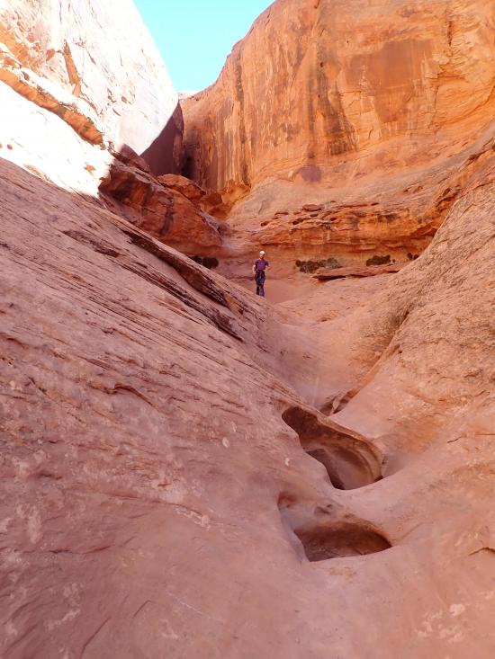
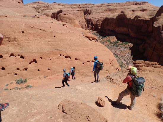
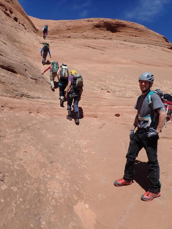
Paradiso Canyon starts right off with a long stemming section. Most of the first part of the canyon is too tight at ground level, so you'll generally want to want to stay high rather than dropping to the ground and climbing back up repeatedly.
About 20 minutes from the top of the canyon is a short but extremely tight section where you'll have to get on the ground and crawl through on your side. This section can also be stemmed over.
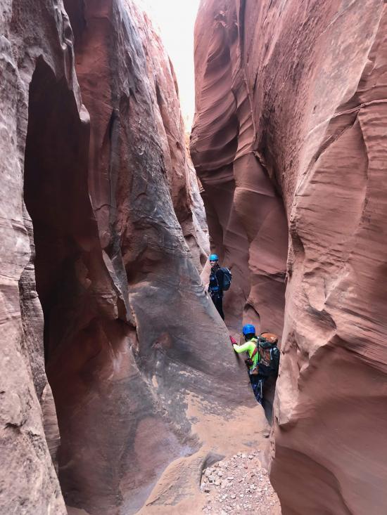
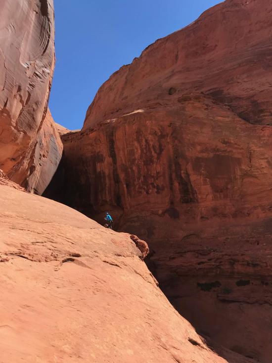
After a quarter mile of off-and-on stemming, the canyon opens up in a walking section.
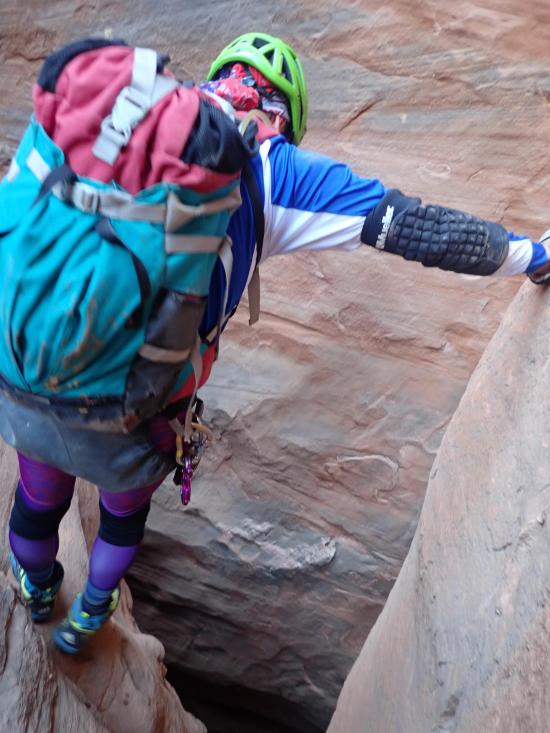
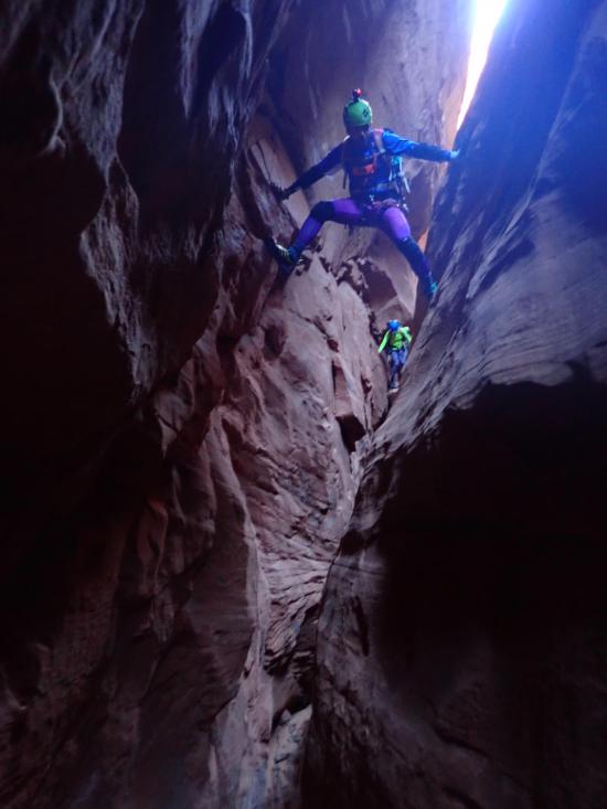
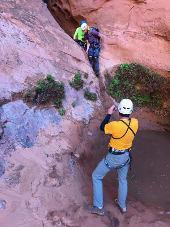
Next up is an exposed elevator downclimb about 30 ft tall. Some group members will appreciate a meat anchor here.
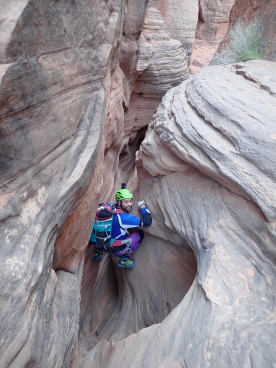
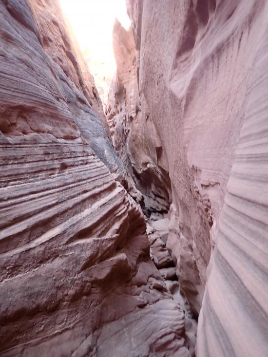
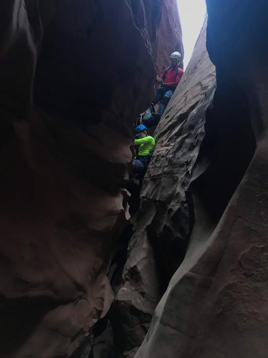
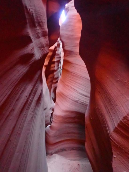
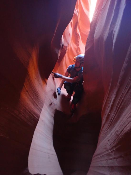
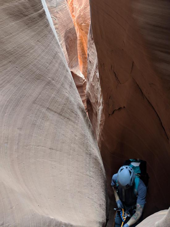
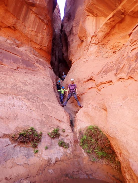
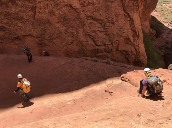
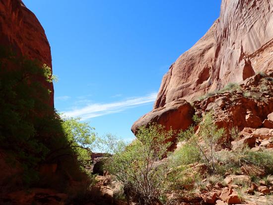
The lower narrows start about 3/4 of the way down the canyon. The last 1/4 of the canyon is definitely the best. It's much more scenic and offers a number of back-to-back drops. The top 3/4 of the canyon is definitely fun and worth it, but if you wanted to skip straight to the lower quarter, there is an easy break in the cliffs that allows you to enter the canyon right above the lower narrows. This also provide an escape route if you need to exit early.
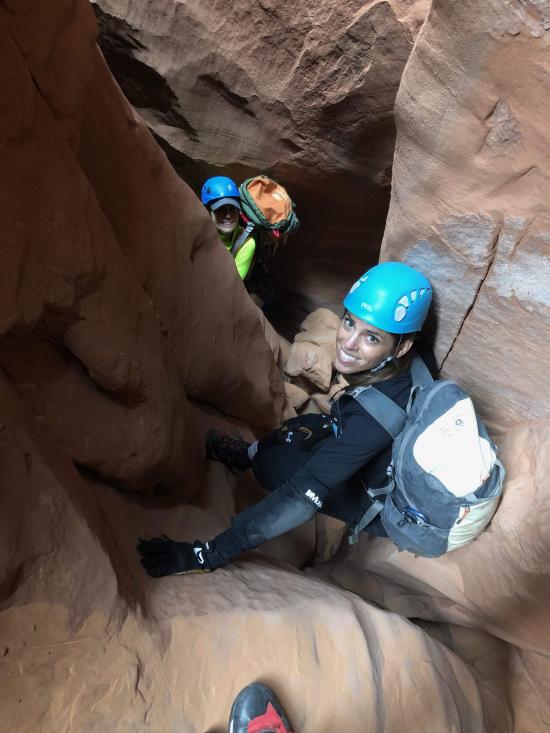
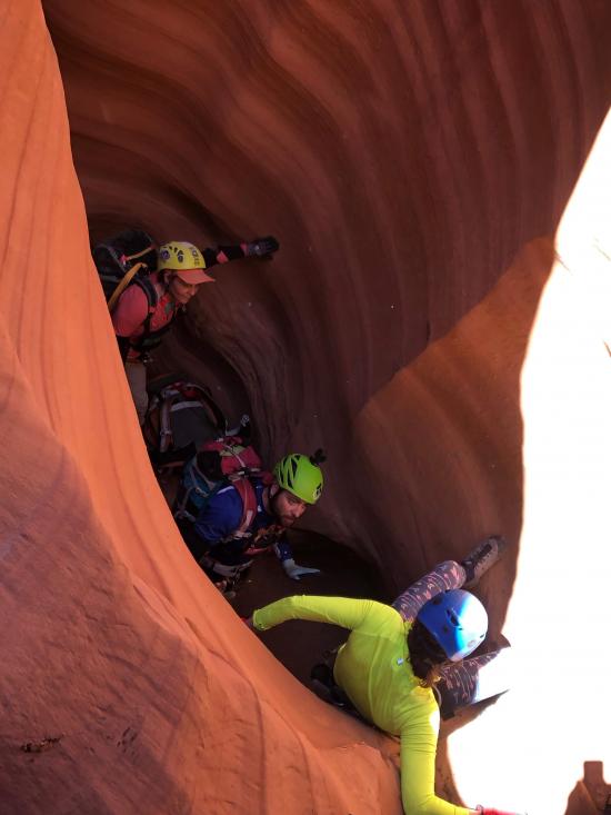
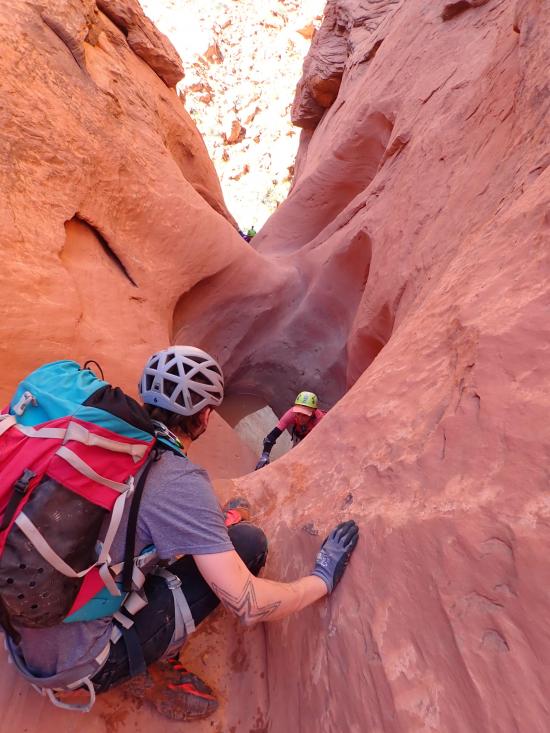
The lower narrows starts with a 20 ft slide/chimney downclimb. A partner assist or meat anchor can be helpful for some.
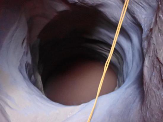
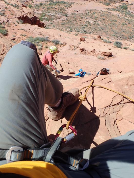
Next is a 30 ft rappel. This rappel drops into a pothole, but don't rappel all the way down to the bottom of the pothole. Instead, rappel part way down then swing over to a ledge on the opposite side.
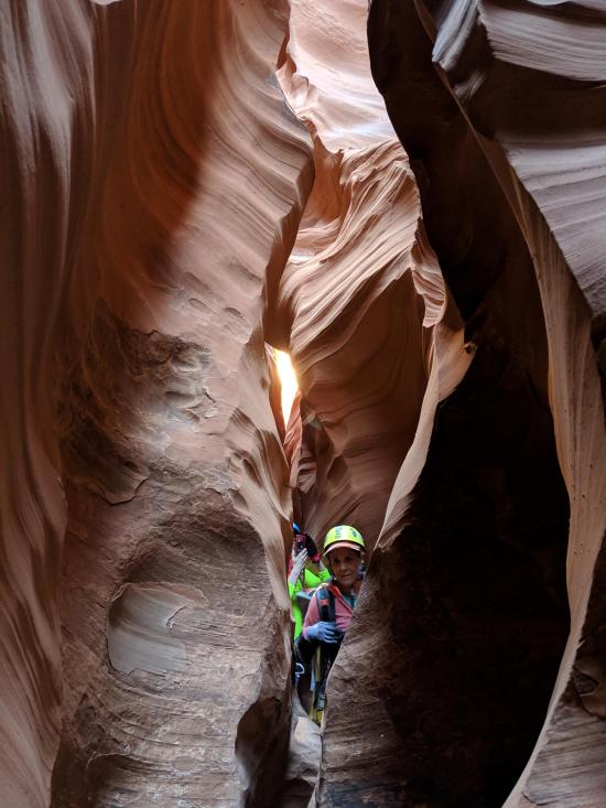
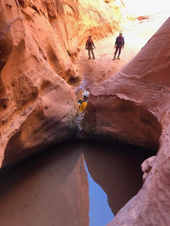
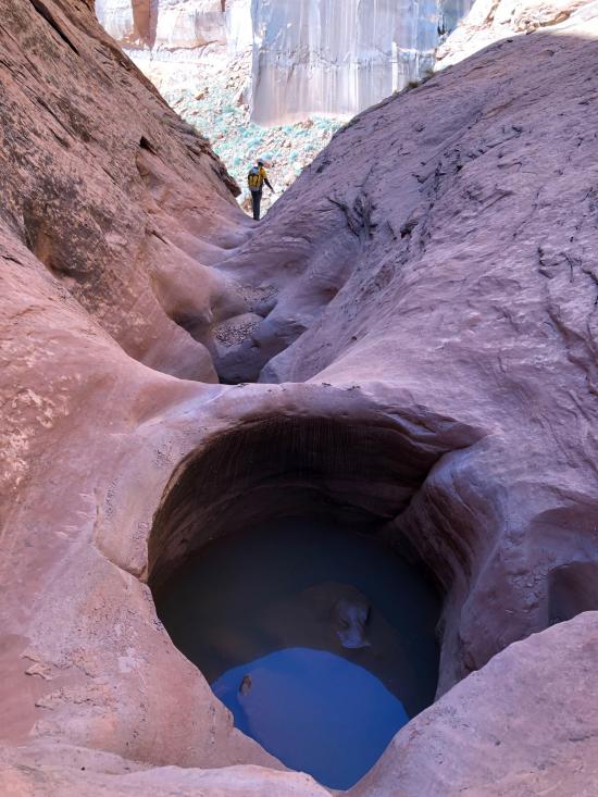
After a few minutes is a pothole that often has water. The pothole can be bypassed with wide stemming.
Immediately after the pothole is a downclimb into a pool. This marks the bottom of the lower narrows. Depending on water level, you may be able to stay dry by taking a ledge on the right.
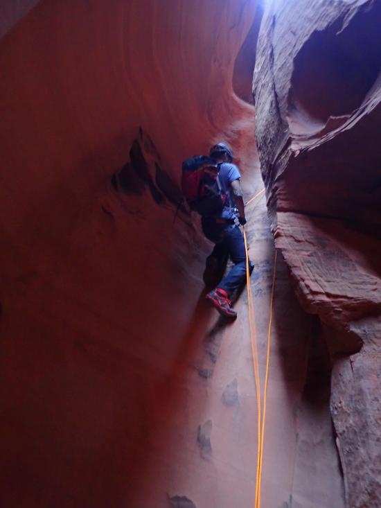
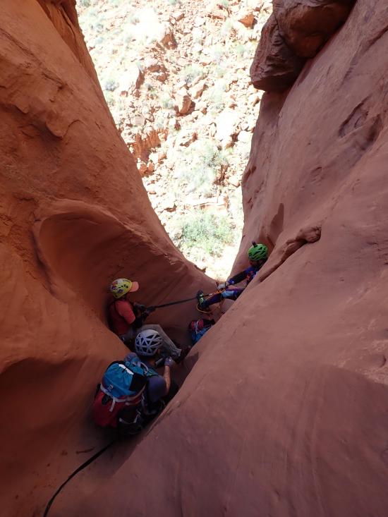
Continue down canyon through a sequence of small potholes. At the first major pothole, most will appreciate a meat anchor or partner assist to enter the pothole. One of the potholes may require a partner assist to escape.
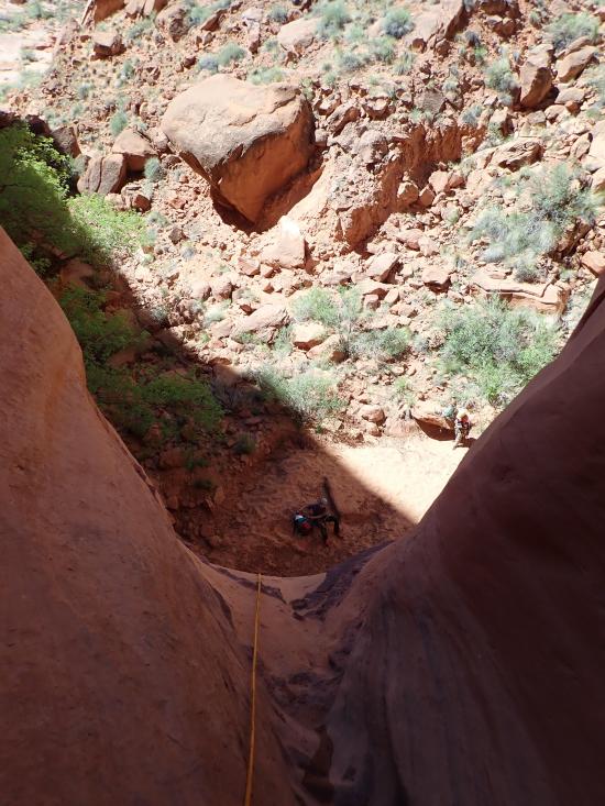
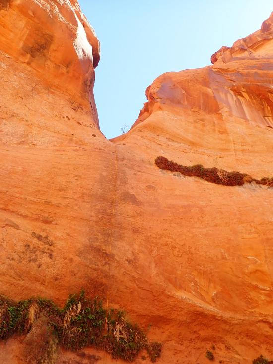
The canyon ends with an 80-foot rappel from a deadman anchor.
Continue down canyon to the confluence, then go northwest to the climber's exit or south to the hiker's exit.
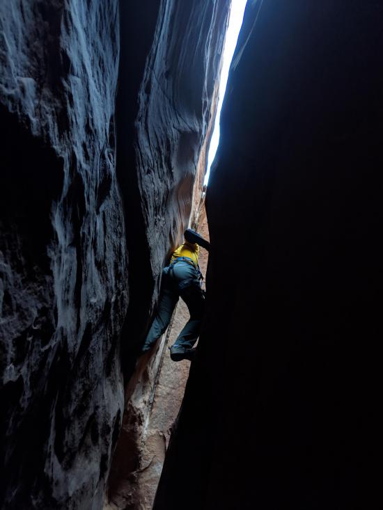
There are two exit routes. The fastest and most direct route is the climber's exit. This involves some 5th class climbing (around 5.4) for a couple of moves. After the first person is up, they can meat anchor the other group members.
The hiker's exit circles around to the south and is slightly easier scrambling but involves a lot of extra hiking. There is still a 4th class climb to get up to the rim.
We did both exits on different trips, and the climber's exit is definitely preferred by our group.
Closest City or Region: Ticaboo Mesa, Utah
Coordinates: 37.689387, -110.522105
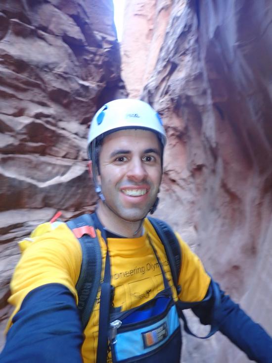
By Jeremy Dye
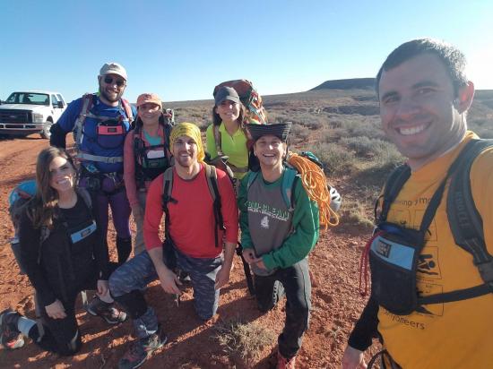
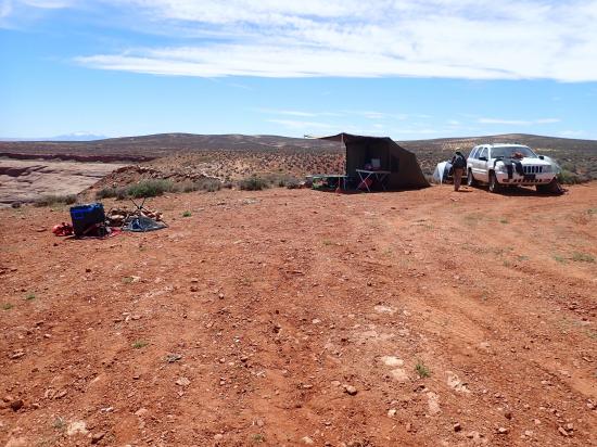
Jeremy Dye, Alex Chagovet, Sandy Crow, Stephen Dunne, Josh Allen, Willow,
Start: 8:40
Bottom of Canyon: 11:50
End: 2:45
We did Paradiso at R-Fest 2019. Everyone did great and pulled their own. Willow struggled quite a bit in the stemming sections but made it through. I was the only one who packed enough water for back-to-back canyons, so we went back to camp to eat lunch and refill water before doing Inferno. On the way back, we took the climber's exit out.


 Rappels
 Downclimbs
 Wading
 Stemming
 High Stemming
 Pothole Escapes - Partner Assist
 Fixed Anchors
 Tight Squeezes
 Wetsuit Generally Not Required
 No Drinking Water
 Wayfinding
 Road Access is Dirt - High Clearance
 Access Road is 2WD Accessible