 Canyoneering | Big Tony Canyon


Hype:
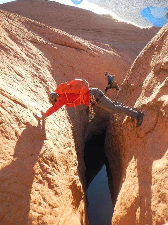
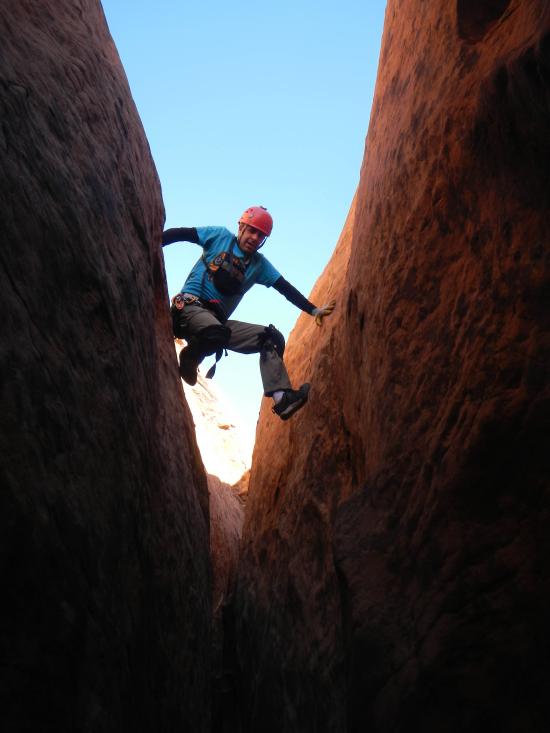
This is an extremely hard canyon for expert canyoneers only. Big Tony is long, hard, and scary! With hours of high stemming, this canyon is not for the faint of heart. I could easily see less competent groups gassing out and needing rescue. Most of the high stemming has good geometry, but several moves are very exposed. Near the bottom of the canyon, it may be tempting to drop down to ground level, but a final pinch requires climbing back up moss-and-mud-covered walls to reach a wide enough crack to stem through. Without someone staying high to help get people up, groups may get stuck here. The exit hike is horrendous with miles of bushwhacking.
Canyon Rating: 4A/B X 
Time: 8-10+ hours
Length: 2.2 mile approach, 0.8 mile canyon, 2.7 mile exit
Longest Rappel: 2+ to 70 ft
Gear: Standard canyoneering gear. Wetsuit generally not required.
Fees: None
Recommended Ages:
 | 0-3 |
 | 4-11 |
 | 12-19 |
 | 20-49 |
 | 50-69 |
 | 70+ |
Recommended Months to Visit:
| Jan |
| Feb |
| Mar |
| Apr |
| May |
| Jun |
| Jul |
| Aug |
| Sep |
| Oct |
| Nov |
| Dec |
Links: https://www.roadtripryan.com/go/t/utah/escalante/big-tony
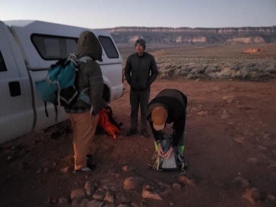
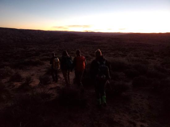
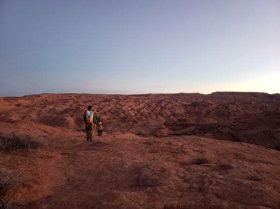
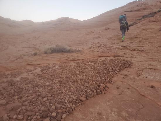
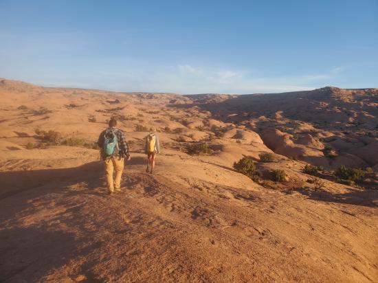
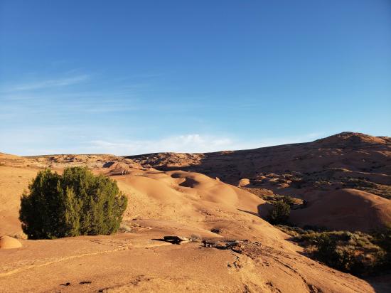
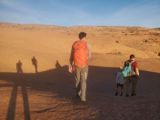
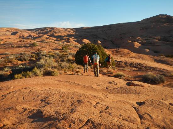
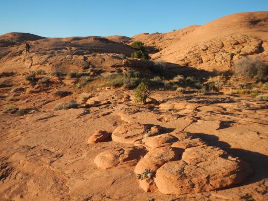
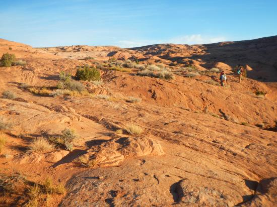
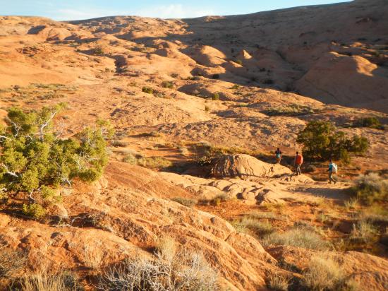
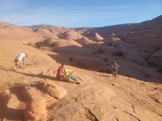
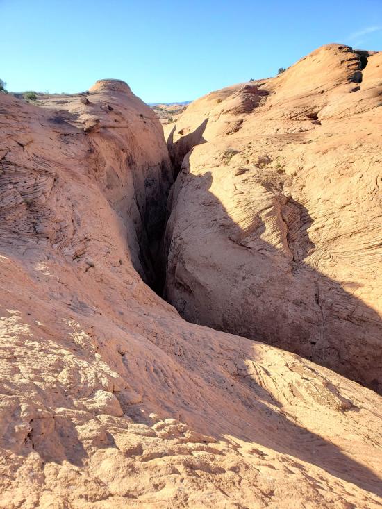
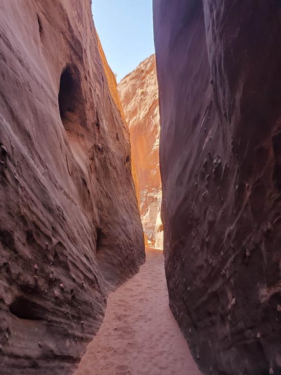
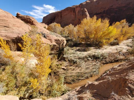
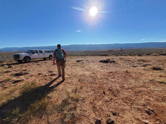
1 hour 20 minutes. From the Chimney Rock trailhead, follow social trails for 1.1 miles northeast to the Coyote Gulch drainage. Coyote Gulch is a popular backpacking canyon. Cross the gulch and climb the slickrock for another 2 miles to the top of Big Tony. There aren't any obstacles that need to be avoided, so just route-find the easiest route.
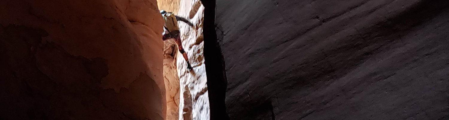
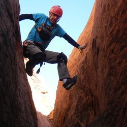
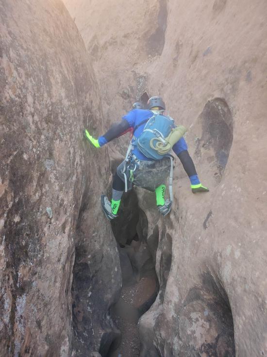
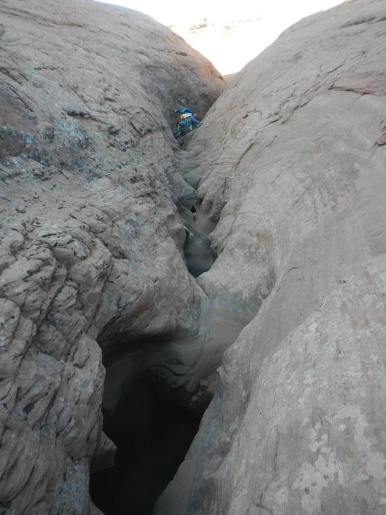
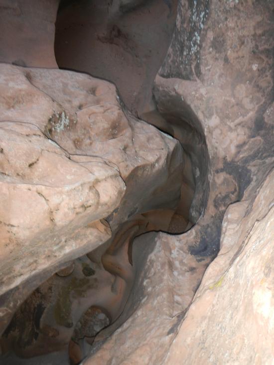
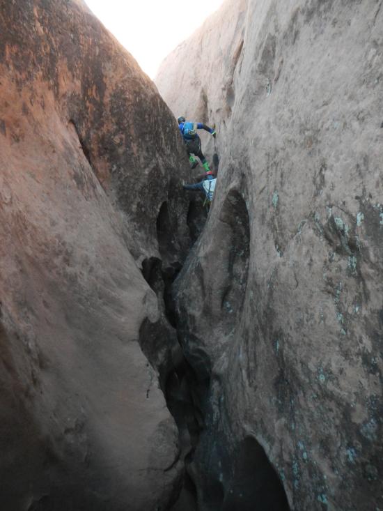
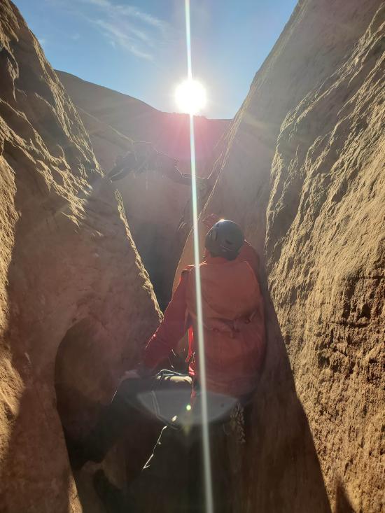
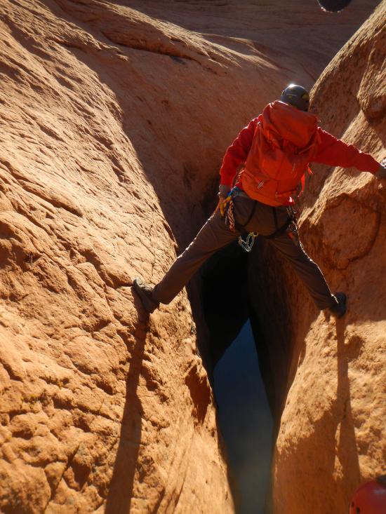
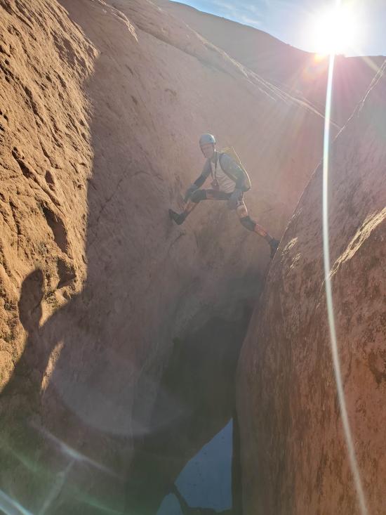
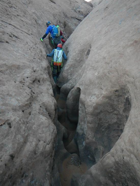
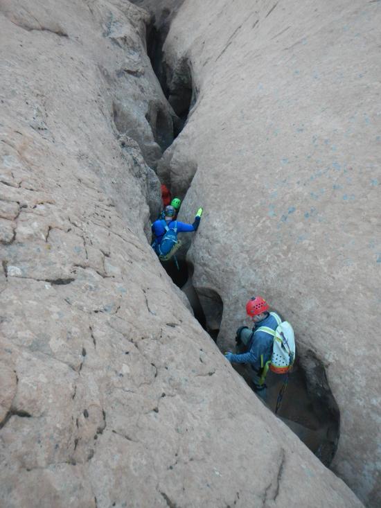
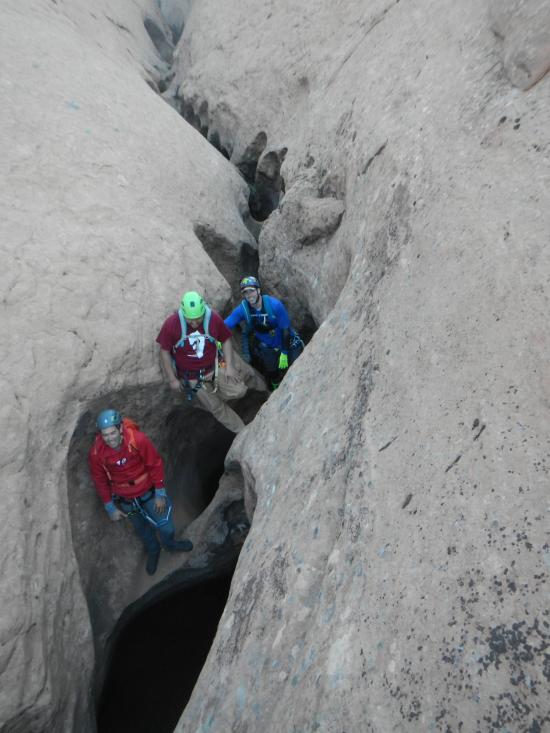
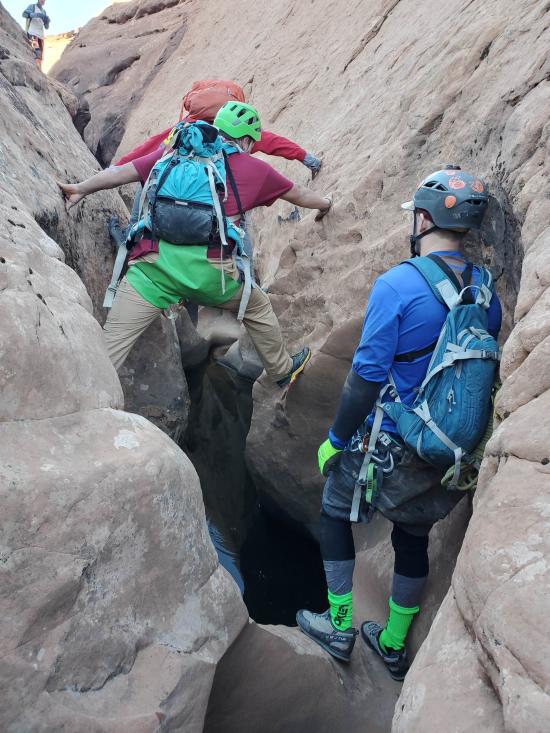
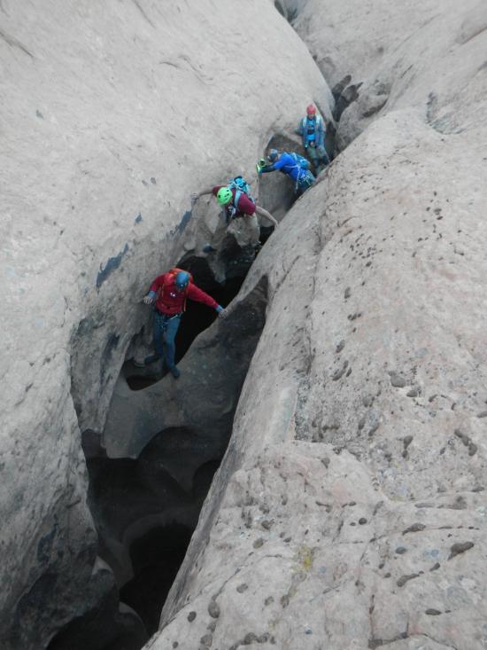
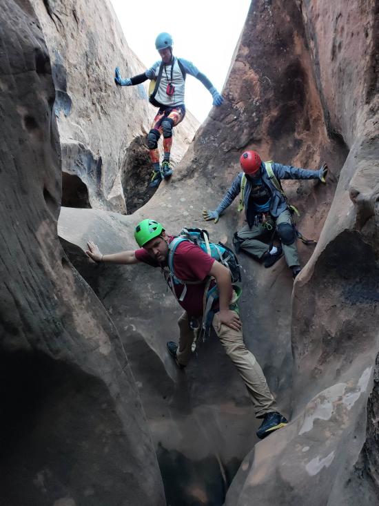
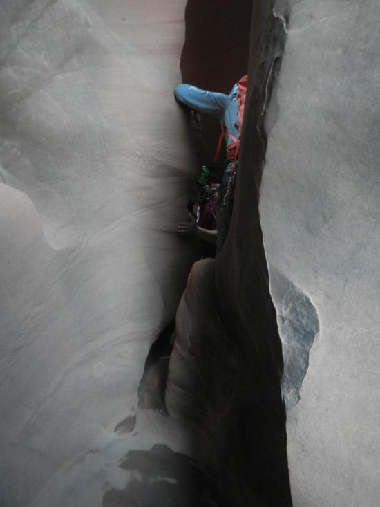
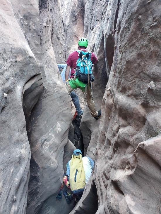
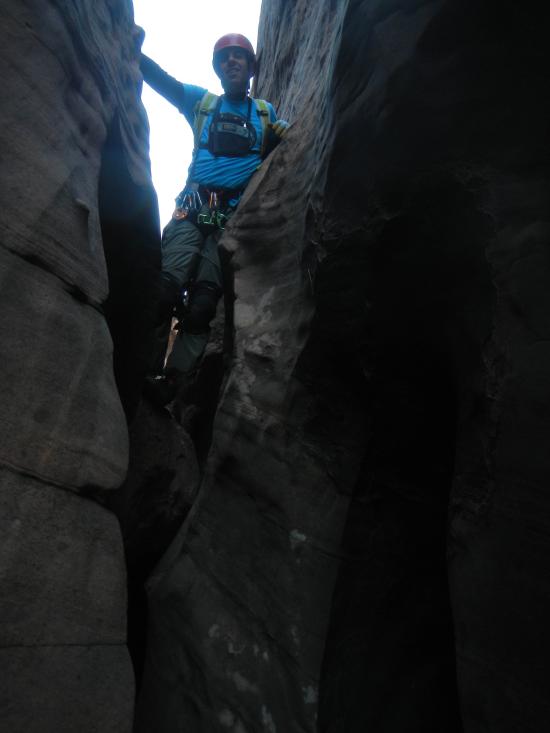
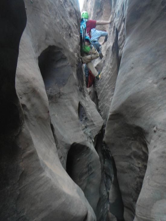
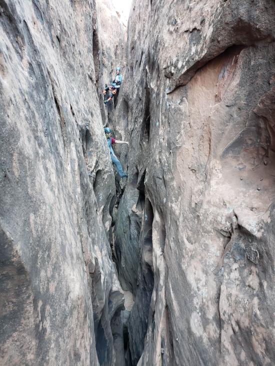
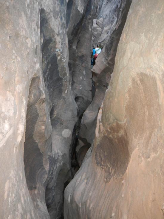
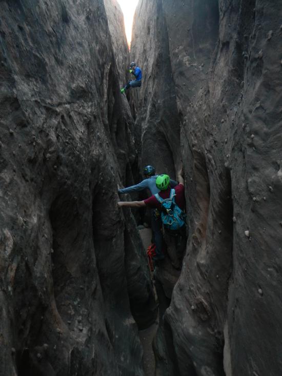
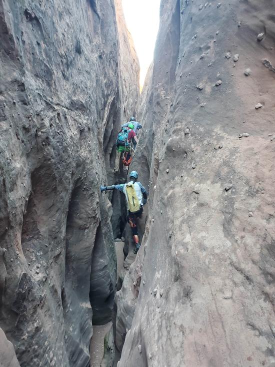
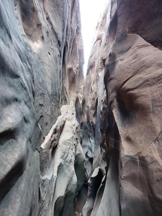
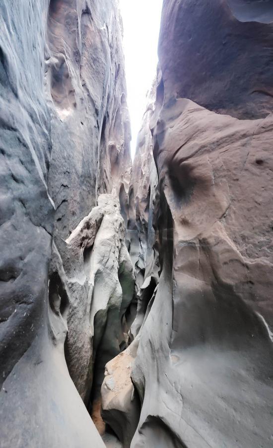
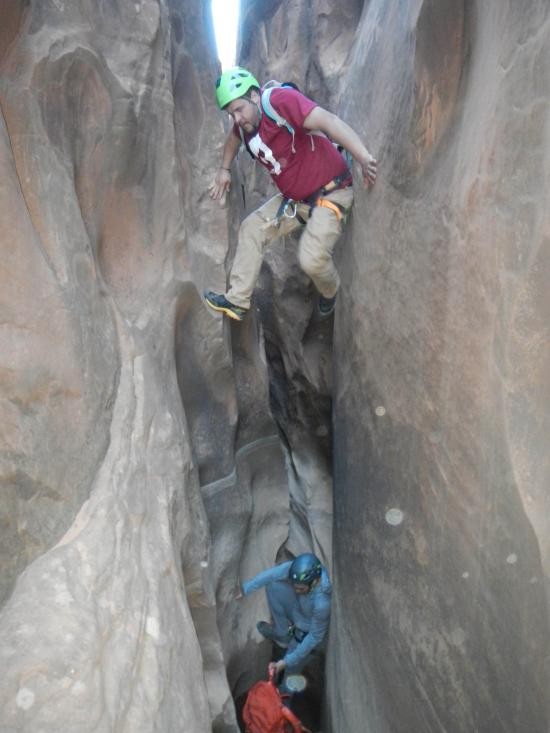
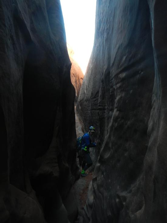
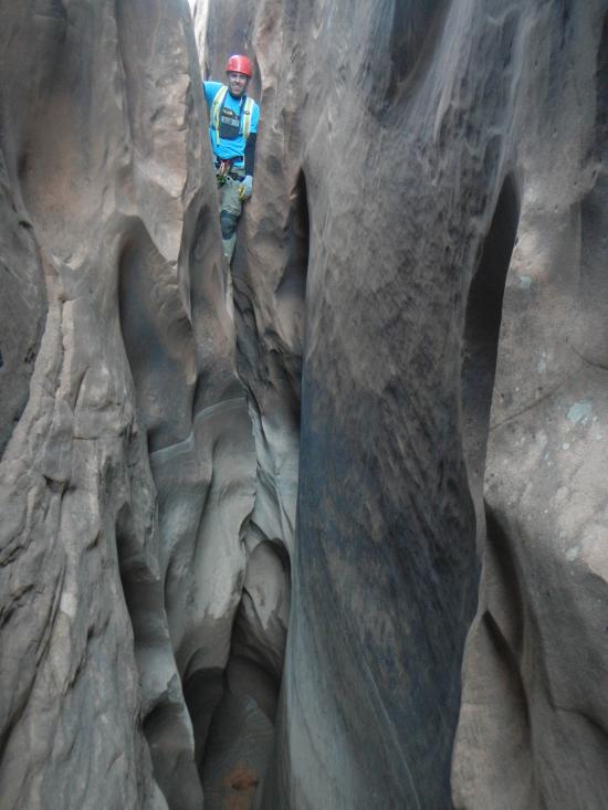
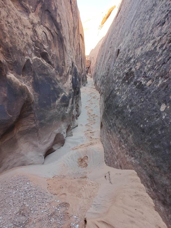
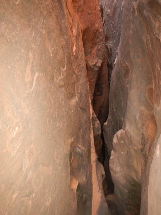
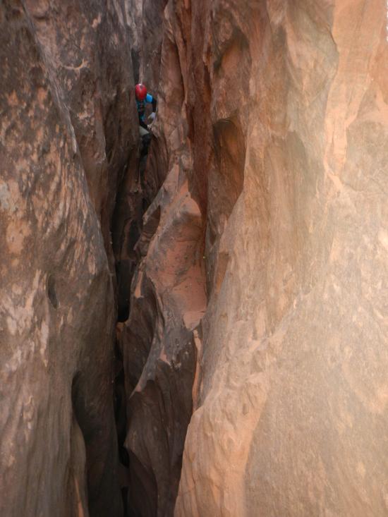
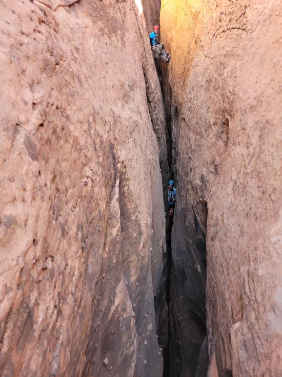
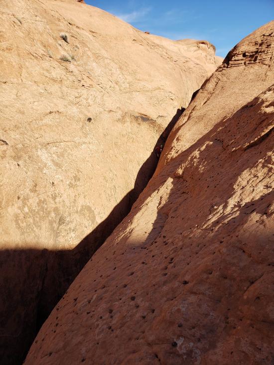
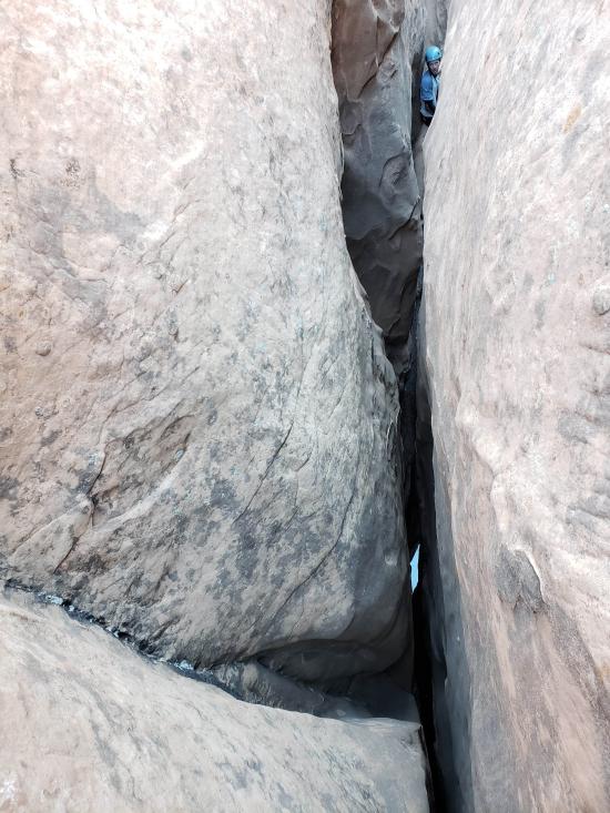
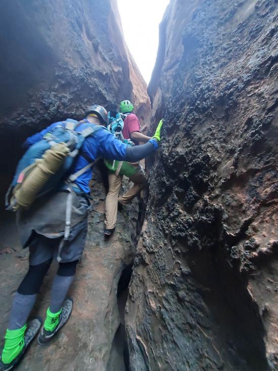
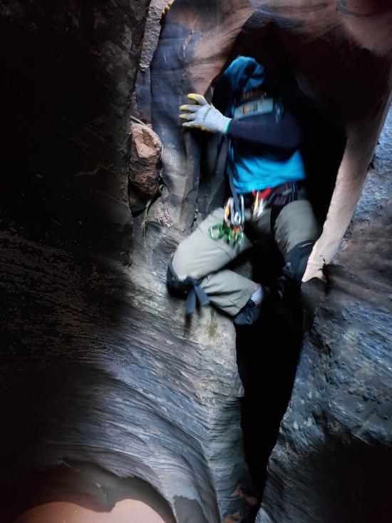
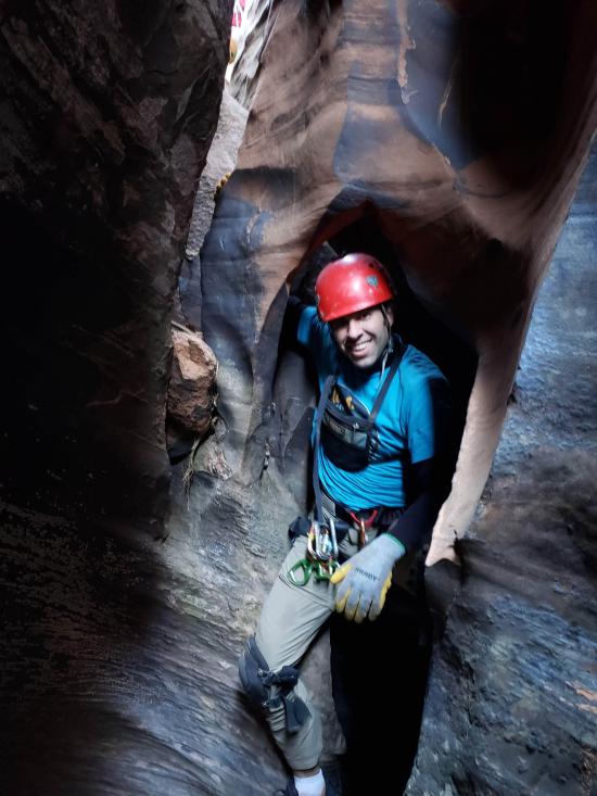
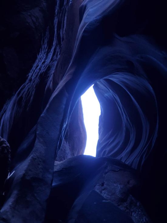
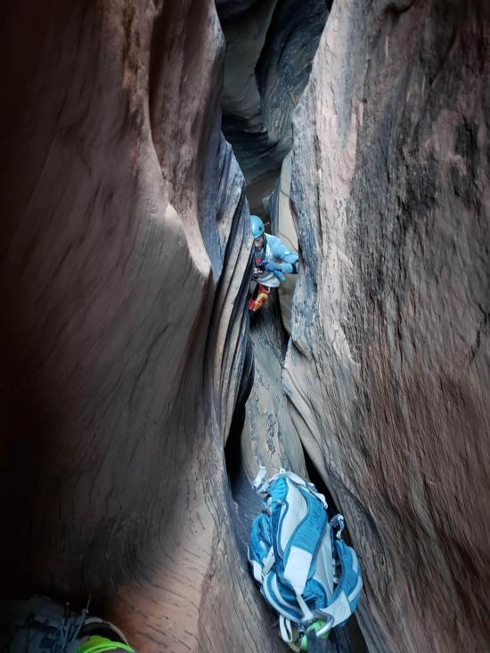
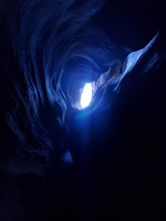
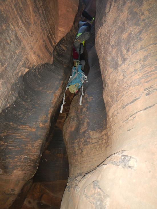
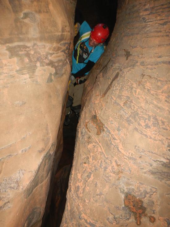
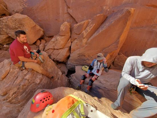
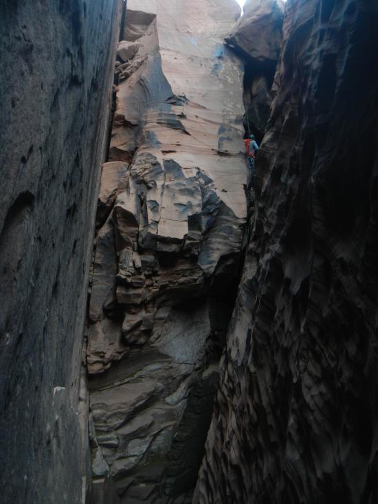
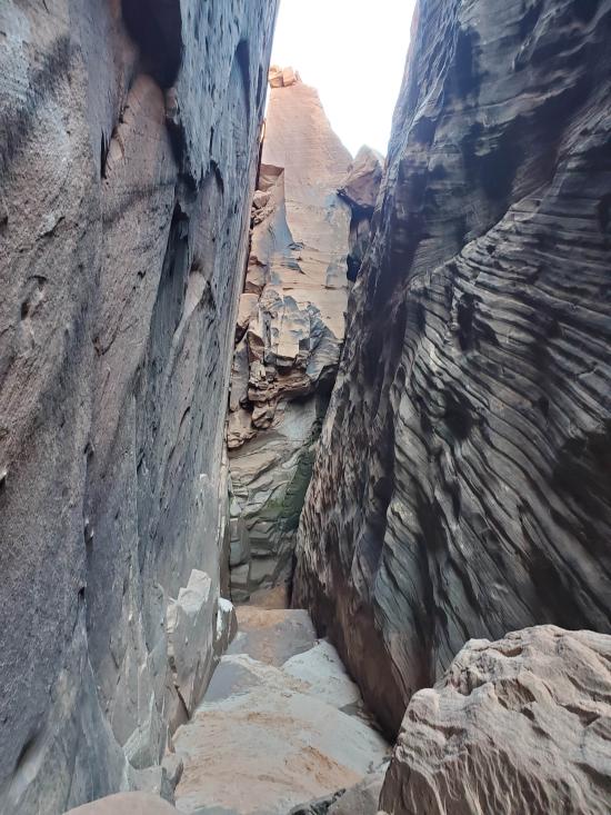
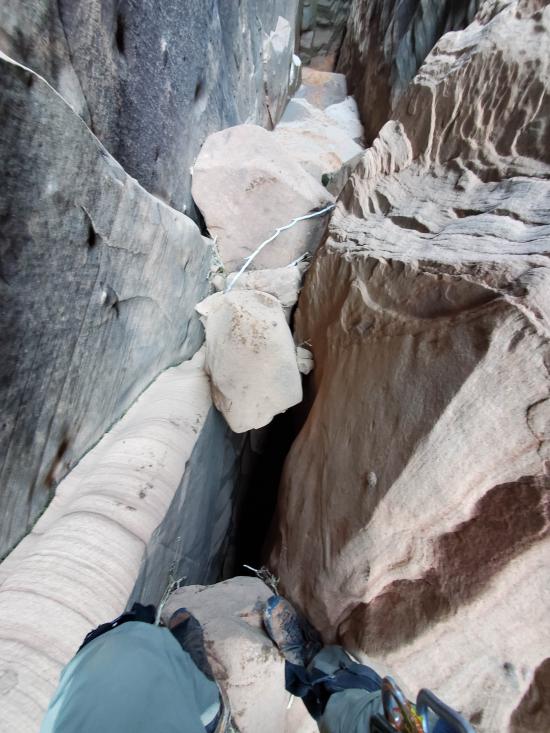
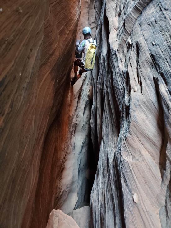
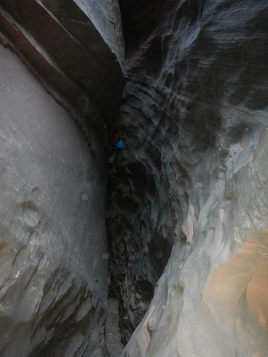
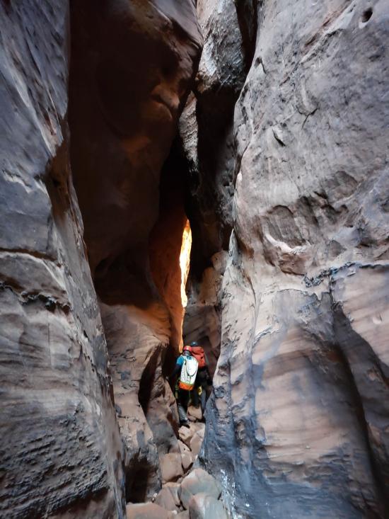
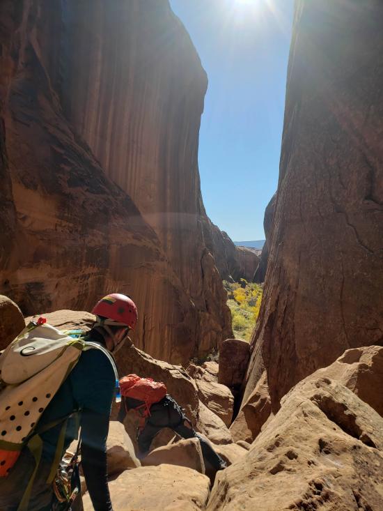
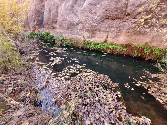
5+ hours. I didn't take notes for a play-by-play description of the canyon. However, here are the highlights I remember. The canyon starts out right away with some easy stemming. Very soon there is a long pool that can be bridged over. The canyon opens up for some walking on the ground then tightens back up. There are some exposed silo crossings or a lot of up-and-down to avoid them. A couple downclimbs that may require partner assists. The canyon transitions to high stemming with lots of sculpted walls that are nearly vertical but have ridges for traction. After recent rains, the sandstone can be very soft and footholds can blow out.
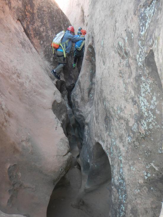
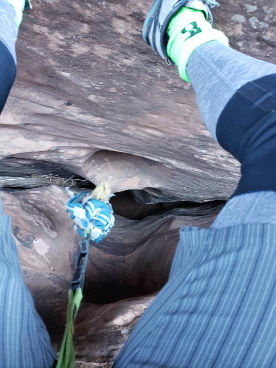
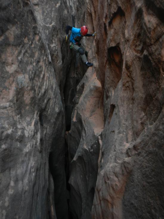
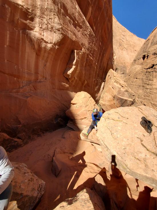
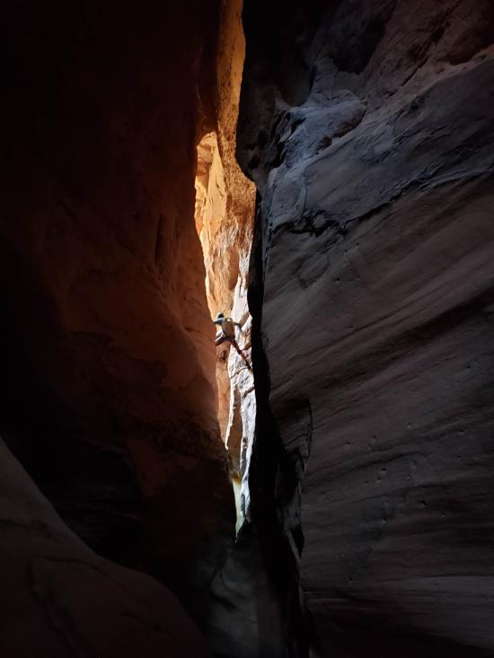
At a large boulder pile, those wishing to bypass the worst of the X stemming can escape the canyon and rim walk to another boulder pile that allows entrance back into the canyon. At the re-entrance, a handline and partner assist is very helpful as the walls are flared but steep and it's hard to transition from sliding to wide stemming. The X stemming section ensues and stays about 40 feet above the deck for a long section. The moves are generally straightforward, but there is a lot of exposure.
More stemming.
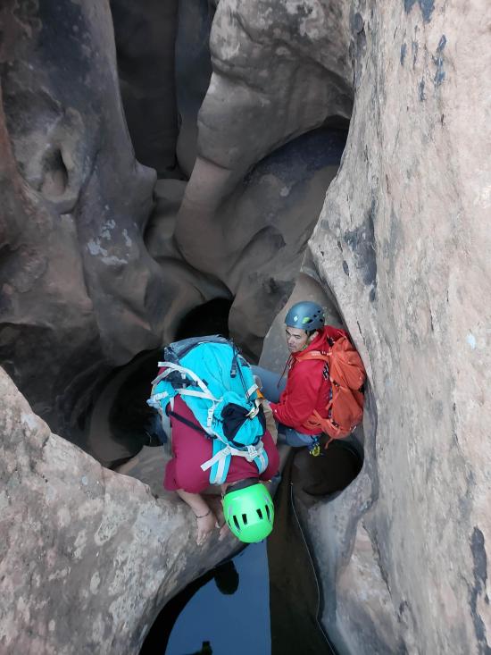
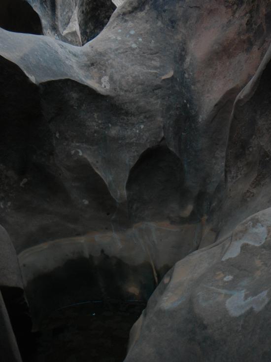
Some potholes that can hold water and are hard to bridge over.
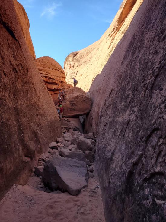
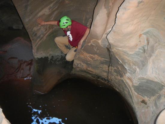
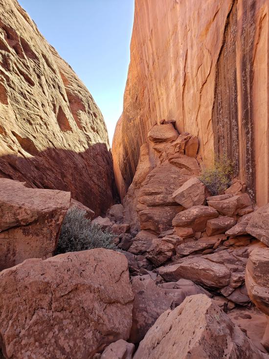
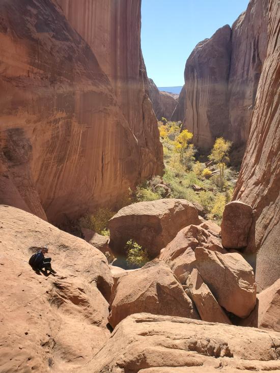
The canyon opens up into a boulder pile. There's a rappel down a rabbit hole between boulders.
More stemming.
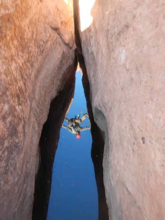
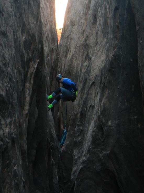
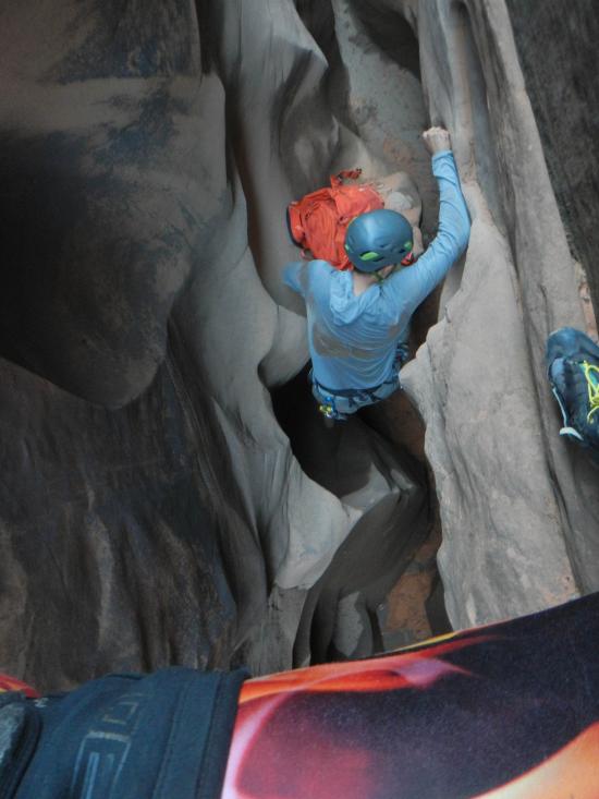
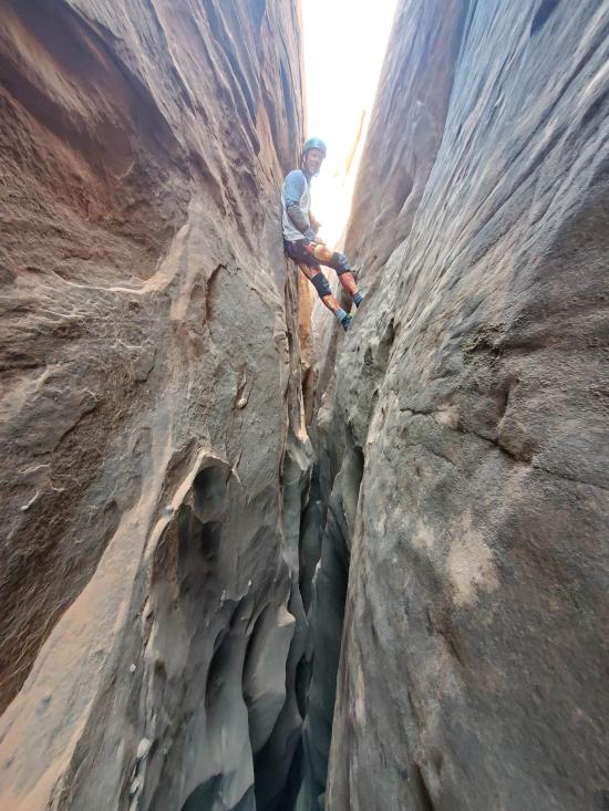
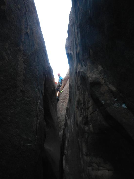
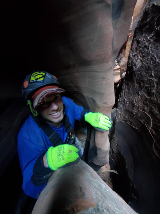
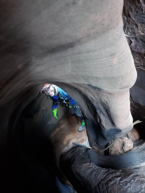
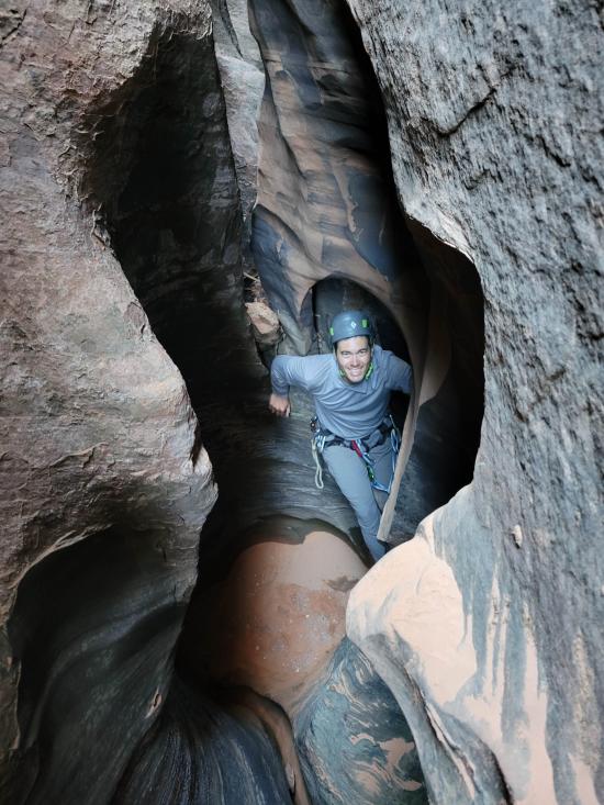
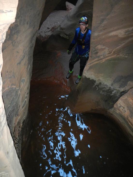
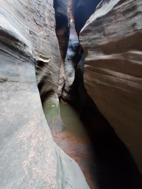
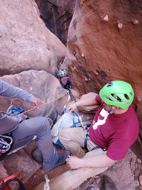
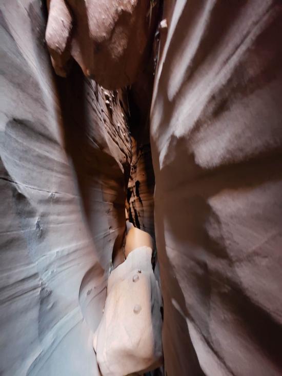
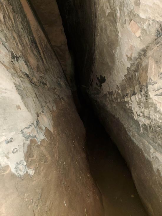
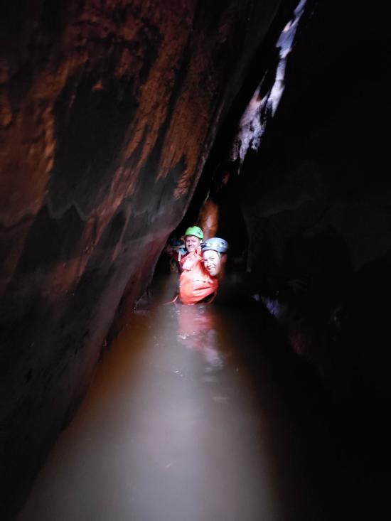
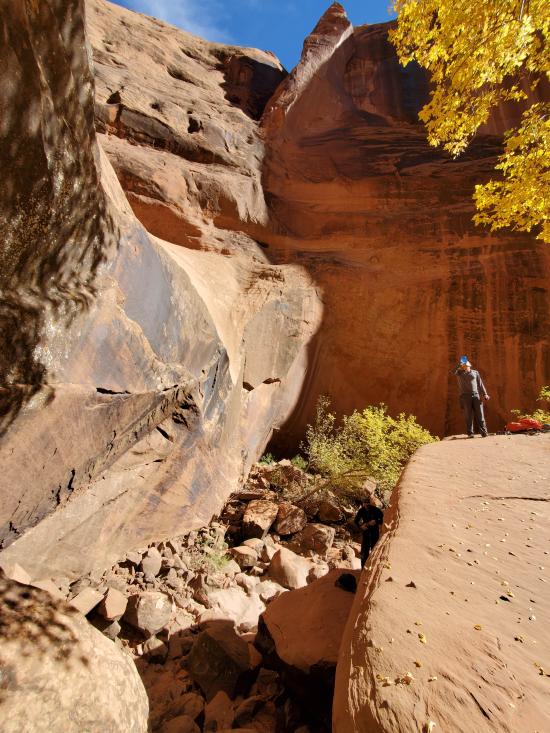
An incredibly long narrow hallway that can be walked sideways and has waist-deep water for ages. Headlamp required. Or the smarter option is to stay high. The hallway eventually pinches down and requires a strenuous upclimb with smooth and slippery walls that have no purchase and are too close together to stem between. Our group required a boost from below and a 2-to-1 from above to get the people up to a height they could proceed. Not recommended to go low.
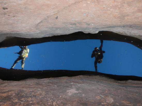
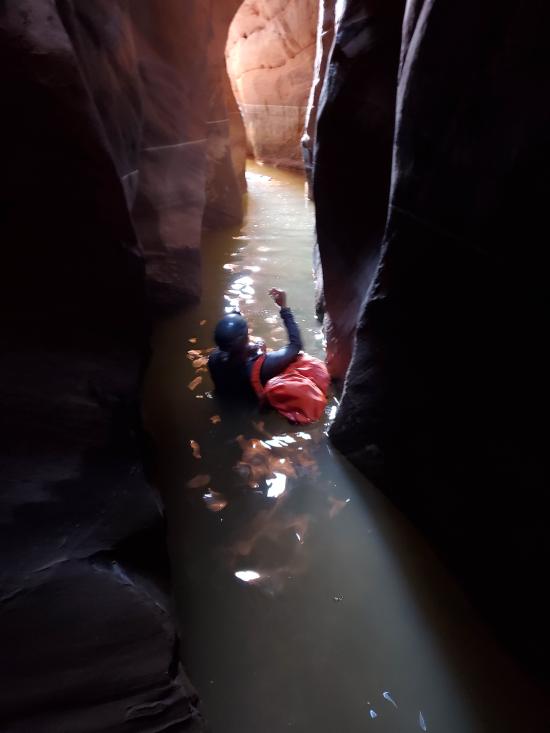
Some walking and stemming sections then a decently long swim. Finally the canyon opens up in a boulder pile and sunshine.
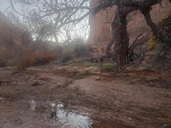
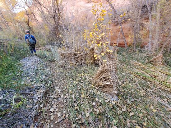
2 hours. Horrendous 1.6 miles of bushwhacking, swamp wading, and poison ivy avoidance. Pick the least bad route you can find. Once you meet back up with Coyote Gulch, head upstream for 0.4 miles then exit the drainage to the southwest and hike on dirt 1.1 miles back to the trailhead.
Closest City or Region: Glen Canyon National Recreational Area, Utah
Coordinates: 37.452319, -111.079155
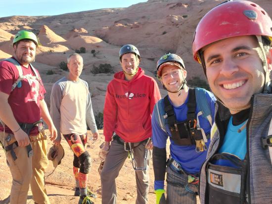
By Jeremy Dye
Jeremy Dye, Anthony Dye, Kevin Christensen, Chris McPhie, Steven Eyberg,
7:20 - Start approach
9:00 - Top of Big Tony
1:50 - Bottom of Big Tony
2:40 - Coyote Gulch
3:30 - Back at cars
Kevin and Chris bypassed the X section. The rest of us did the whole thing. We had a great time, and this canyon wore me out, especially the final upclimb.


Big Hollow Wash Primitive Camping
Chimney Rock Primitive Camping
Early Weed Bench Primitive Camping
Escalante River Primitive Camp 1
Escalante River Primitive Camp 2
Fence Canyon Primitive Camping
Jacob Hamblin Trailhead Primitive Camping
Micro Death Hollow Primitive Camping
Zebra and Tunnel Trailhead Camping
Dry Fork Narrows of Coyote Gulch
Early Weed Bench to Escalante River
Escalante River to Early Weed Bench
Escalante Interagency Visitor Center
Camping at Halls Creek and Millers Creek Confluence
Escalante River Primitive Camp 1
Escalante River Primitive Camp 2
Fence Canyon Primitive Camping
Iceberg Canyon Primitive Camping
Navajo Canyon Primitive Camping
Stud Horse Point Primitive Camping
West Canyon Primitive Camping 1
West Canyon Primitive Camping 2
Baboon Laughs Canyon (aka Laughing Baboon Canyon)
Poe Canyon (aka Smiling Cricket Canyon)
Early Weed Bench to Escalante River
Escalante River to Early Weed Bench
Lee's Ferry Historic District River Trail
Navajo Bridge Interpretive Center
 Slot Canyon
 Rappels
 Downclimbs
 Wading
 Stemming
 High Stemming
 Swimming
 Wetsuit Generally Not Required
 Tight Squeezes
 No Drinking Water
 Wayfinding
 No Restrooms
 Road Access is Dirt - High Clearance
 Access Road is 2WD Accessible
 Wildflowers and Vegitation