 Hiking | Millers Creek


Hype:
Millers Creek is a short up-and-back canyon hike that can be added to a 3/4 or 1/2 day of canyoneering.Trail Condition: Class 2 (Trail may have tree roots or rocks jutting out. Navigation skills may consist of following rock cairns and choosing turns at junctions. Elevation gains may be more substantial.)
Time: 0-2 hours
Length: 1.5 miles 1-way to alcove
Elevation Gain: 300 ft
Fees: None
Recommended Ages:
 | 0-3 |
 | 4-11 |
 | 12-19 |
 | 20-49 |
 | 50-69 |
 | 70+ |
Recommended Months to Visit:
| Jan |
| Feb |
| Mar |
| Apr |
| May |
| Jun |
| Jul |
| Aug |
| Sep |
| Oct |
| Nov |
| Dec |
Navigate to 37.578735, -110.869647.
Closest City or Region: Waterpocket Fold, Utah
Coordinates: 37.578735, -110.869647
By Anthony Dye
Jeremy Dye, Anthony Dye, Kevin Christensen, Jared Robertson, Ken McCarthy, Mark Burnham,
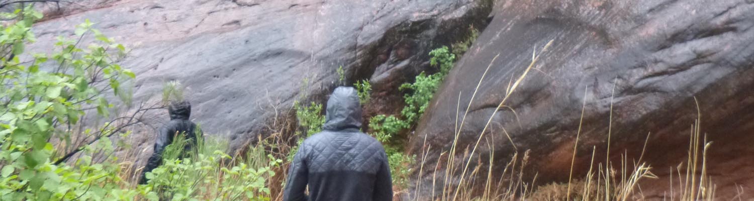
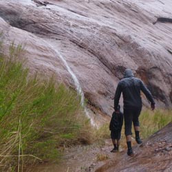
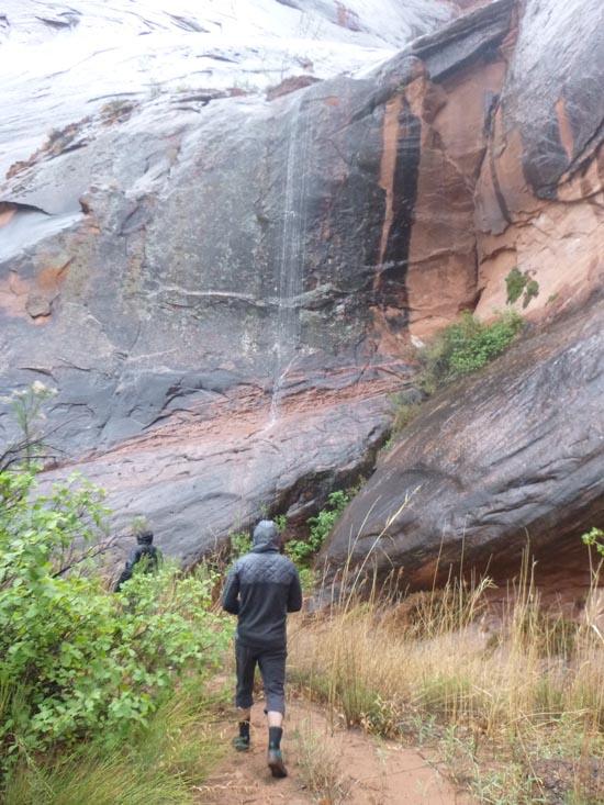
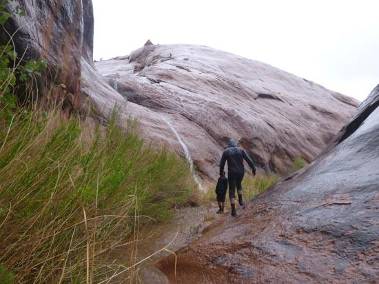
Friday morning we woke up excited to do Laughing Baboon, to find the 20% chance of rain that was forecasted turned into 5 hours of drizzle. While we waited, we did a short hike up Miller's creek. By the time we got back to camp, runs of water had started in a dozen spots coming off the cliffs. I was a little sad. assuming that the canyons would all be full and the much anticipated challenge of the canyons we wanted to do would not give us their full potential. We made lunch and it was still raining so we crashed in our tents. Mark hiked the bench to Happy Dog and Laughing Baboon and informed us they were both flowing. After a 2 hour nap we woke up to blue(ish) skies. We grabbed our packs and left for Laughing Baboon at 3:00.
Camping at Halls Creek and Millers Creek Confluence
Escalante River Primitive Camp 1
Escalante River Primitive Camp 2
Fence Canyon Primitive Camping
Iceberg Canyon Primitive Camping
Navajo Canyon Primitive Camping
Stud Horse Point Primitive Camping
West Canyon Primitive Camping 1
West Canyon Primitive Camping 2
Baboon Laughs Canyon (aka Laughing Baboon Canyon)
Poe Canyon (aka Smiling Cricket Canyon)
Early Weed Bench to Escalante River
Escalante River to Early Weed Bench
Lee's Ferry Historic District River Trail
Navajo Bridge Interpretive Center
Camping at Halls Creek and Millers Creek Confluence
Halls Creek Alcove Primitive Camping
Baboon Laughs Canyon (aka Laughing Baboon Canyon)
Poe Canyon (aka Smiling Cricket Canyon)
 No Drinking Water
 Mountains
 Wayfinding
 Wildflowers and Vegitation