 Paddling | Escalante River


Hype:
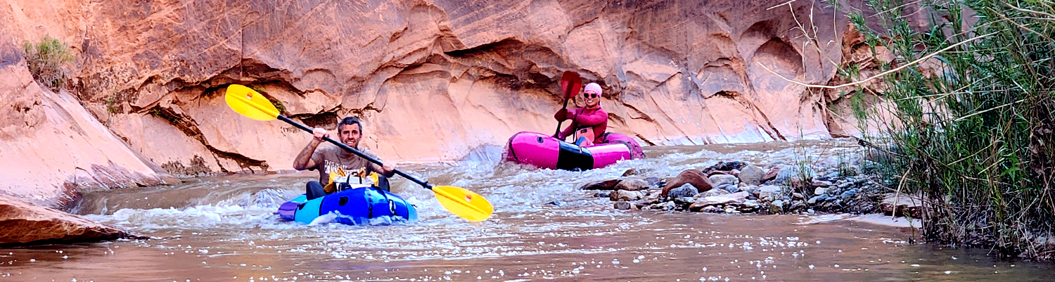
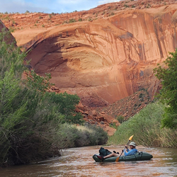
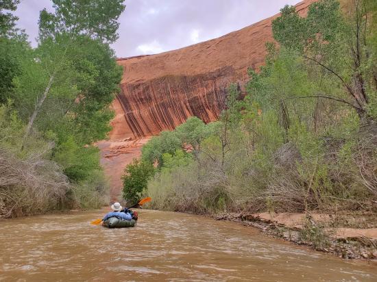
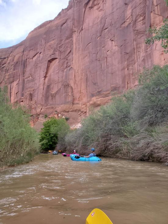
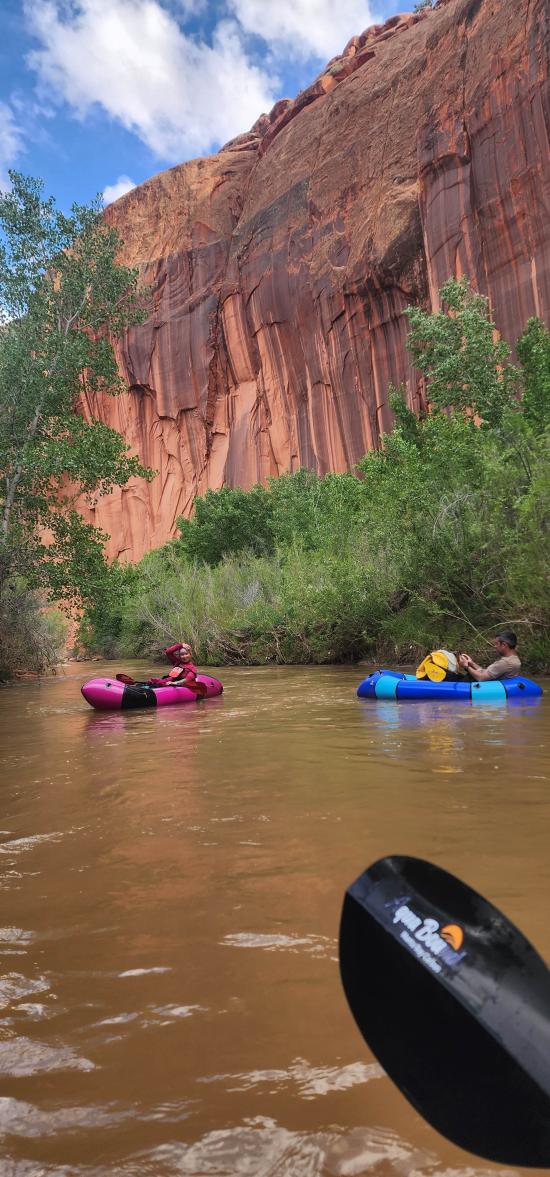
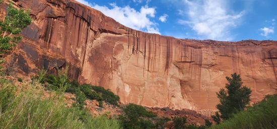
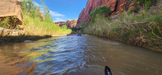
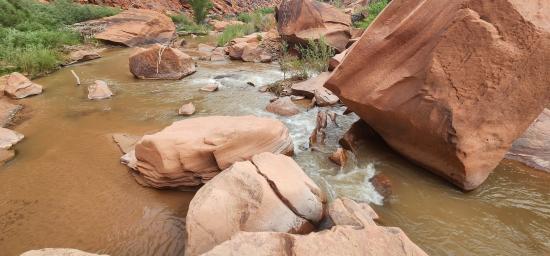
The Escalante River traverses some of the finest canyon country of the Colorado Plateau and offers river-floating enthusiasts the opportunity to enjoy magnificent, wild, redrock canyon scenery. Because it is rugged and remote and sustains only limited flows, the Escalante River also provides unique challenges to the river runner.
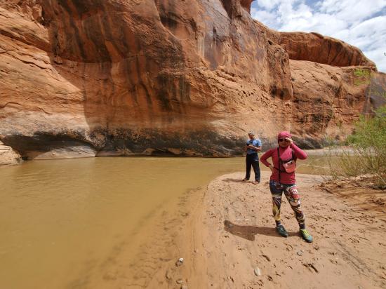
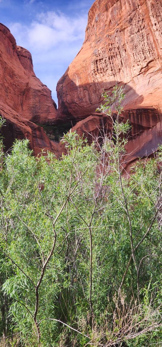
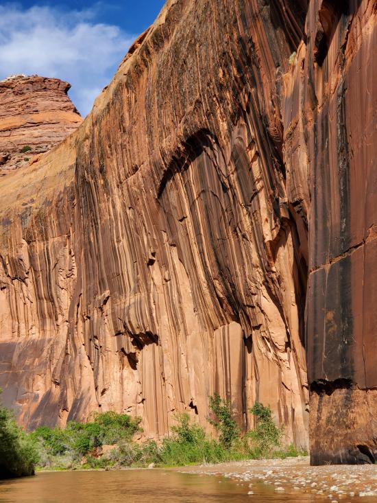
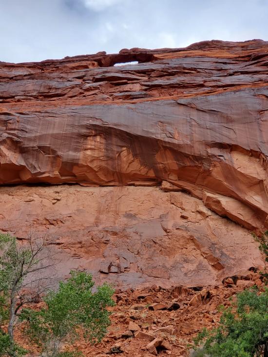
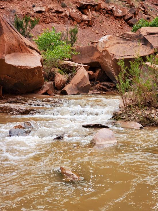
The deeply entrenched, meandering Escalante River flows between towering cliffs of red and white sandstone decorated with colorful desert varnish. Above the canyons lie rounded sandstone domes, buttes, and slickrock. Along the river lush riparian ecosystems, provide habitat for numerous plants and animals.
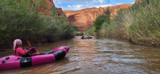
Even with the right equipment, the Escalante is a marginal river for floating. In years with a good snowpack, the river may be navigable for up to two months during late spring or early summer, but in dry years it may not be floatable at all. An average year usually provides two or three weeks of run-able flows.
Predicting when the runoff will peak is extremely difficult. According to U.S. Geological Survey (USGS) river gauging data taken since 1912, the average high water date is May 9th. However the runoff may begin any time from late March to early June, depending on snowpack and spring weather conditions. Consequently, the first challenge is having great flexibility in taking vacation time, the ability to travel on short notice, or amazing luck when planning vacation dates!
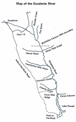
A minimum of six days is recommended to complete the trip from the Hwy 12 Bridge to Coyote Gulch. Shorter trips linking alternative canyons are possible with light weight packrafts.
Time: 3-8 days
Length: 36 miles from Bridge to Fence, 40 miles from Fence to Coyote, 14 miles from Coyote to Willow Creek (not including hiking from river to parking)
Fees: None
Recommended Ages:
 | 0-3 |
 | 4-11 |
 | 12-19 |
 | 20-49 |
 | 50-69 |
 | 70+ |
Recommended Months to Visit:
| Jan |
| Feb |
| Mar |
| Apr |
| May |
| Jun |
| Jul |
| Aug |
| Sep |
| Oct |
| Nov |
| Dec |
Links: https://www.nps.gov/glca/planyourvisit/floating-the-escalante-river.htm
Navigate to 37.775940, -111.419570.
Escalante River Bridge Trailhead: 37.775940, -111.419570
Egypt Trailhead (Fence Canyon): 37.593080, -111.218486
Fortymile Ridge Trailhead (Coyote Gulch): 37.403786, -111.008957
Sooner Bench Trailhead (Willow Creek): 37.324804, -111.022685
Closest City or Region: Escalante, Utah
Coordinates: 37.589484, -111.158129
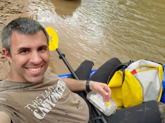
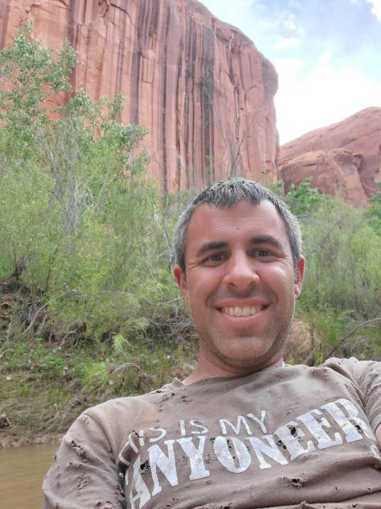
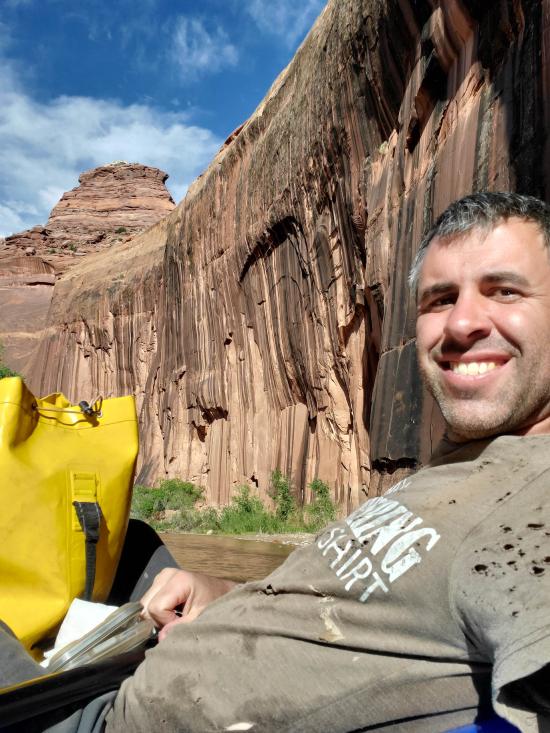
By Jeremy Dye
Jeremy Dye, Luke Galyan, Tracy Kwan, Mark Burnham,
Friday 5/12
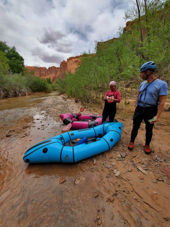
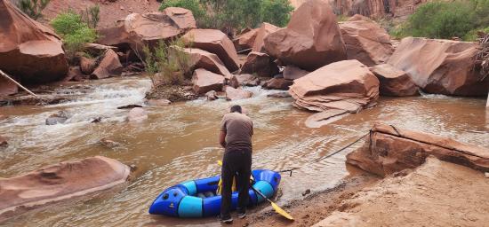
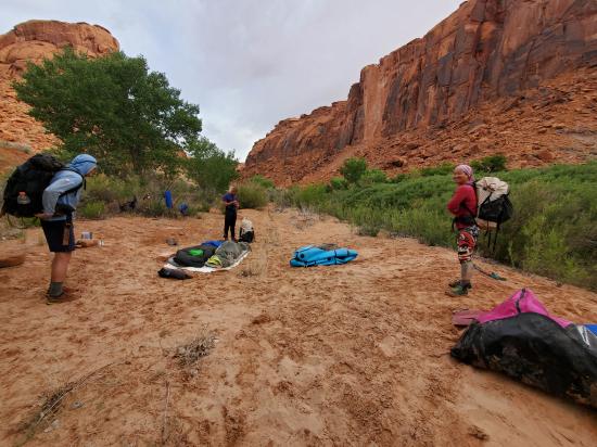
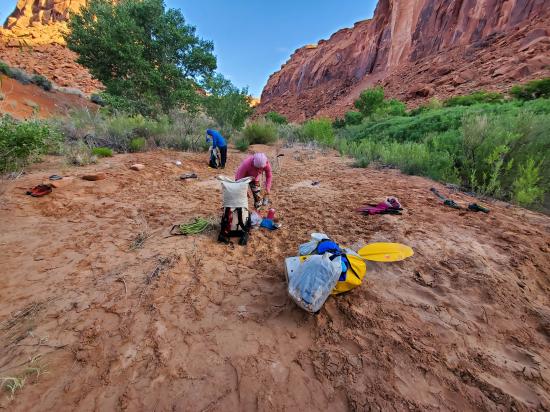
We packed up camp and got our backpacking packs ready. There was one other guy camped at the trailhead, and he took a group picture for us as we were leaving. After struggling with a 62-pound pack on our Halls Creek backpacking and canyoneering trip this spring, I packed a lot lighter this time. My pack came in at 43 pounds, which was amazing considering that I was carrying a packraft, a wetsuit, canyoneering gear, camping gear, clothes, and food. We started hiking at 8:00 a.m. and hiked from the Weed Bench trailhead to the Escalante River in about 4 hours. We took a couple short breaks and didn't push too hard, but we didn't go slow either.
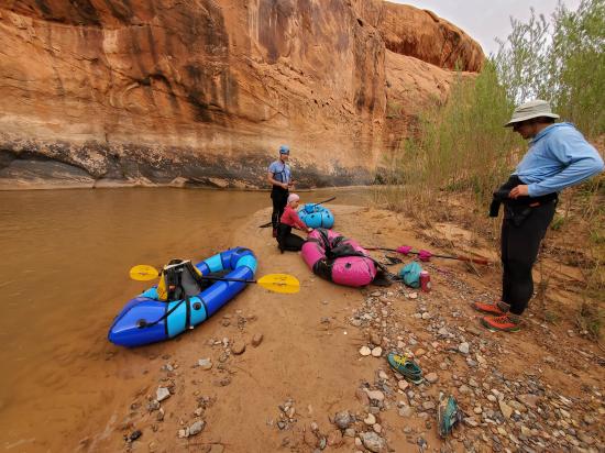
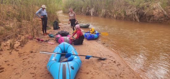
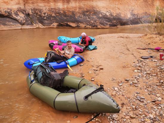
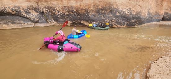
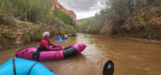
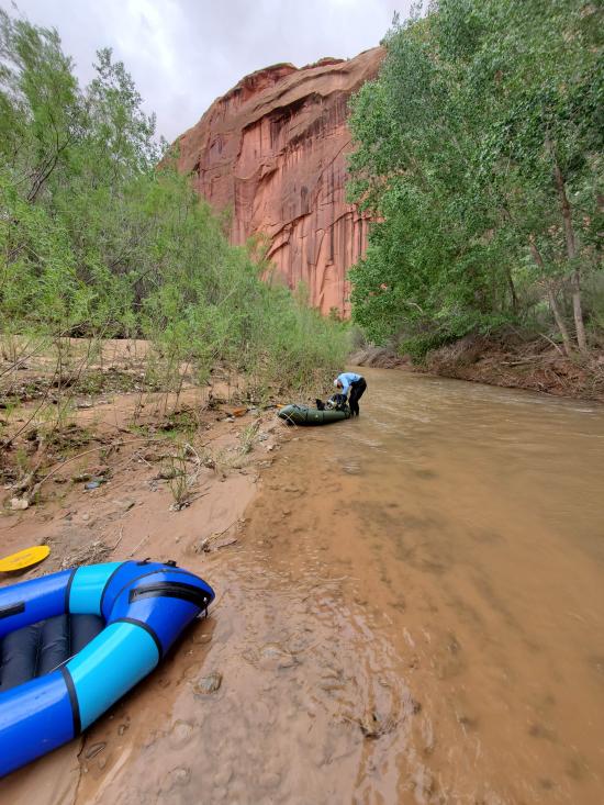
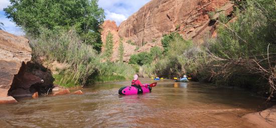
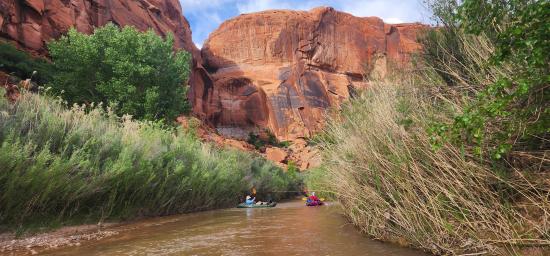
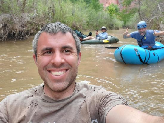
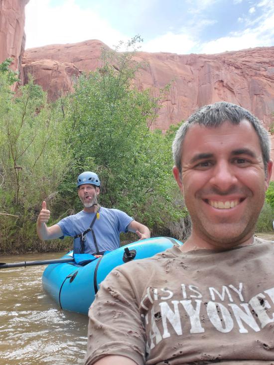
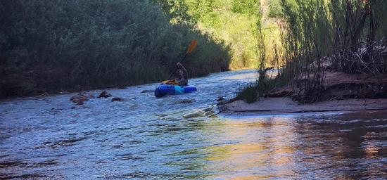
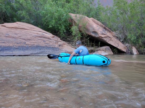
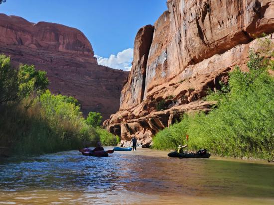
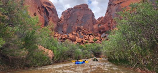
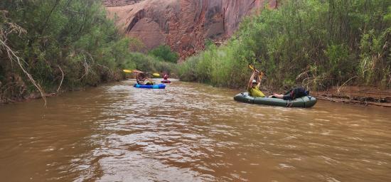
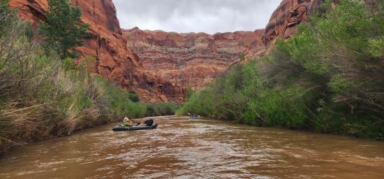
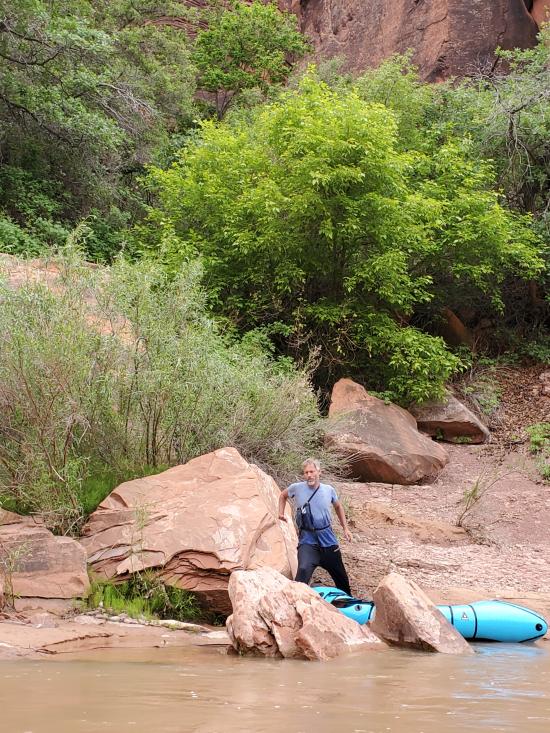
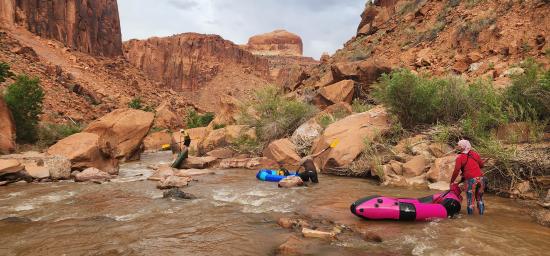
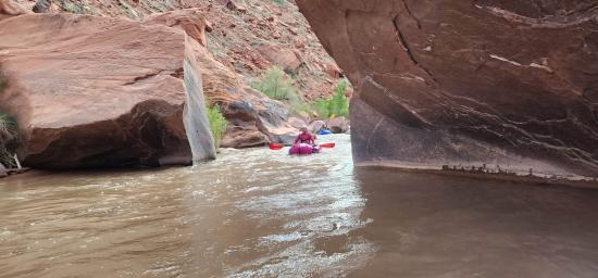
Once at the Escalante River, we ate lunch and disassembled our packs. We put on wetsuit legs and stashed our gear inside our packrafts. Luke let me borrow his packraft. We started packrafting down the Escalante River at 1:15. We packrafted 3.3 miles in 2 hours. Even though we had a record snowpack this winter and we were floating during peak runoff for the year, there still wasn't much water in the river. We scraped bottom many many times.
We beached our packrafts and explored a side canyon from the bottom-up. We took naps at the boats while Mark and Luke rimwalked to the upper section and explored that part of the canyon.
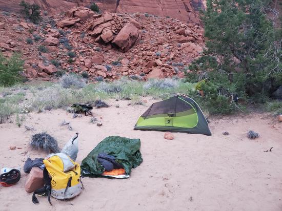
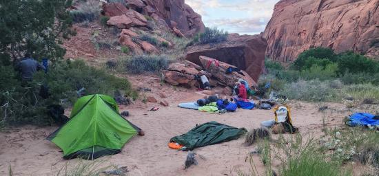
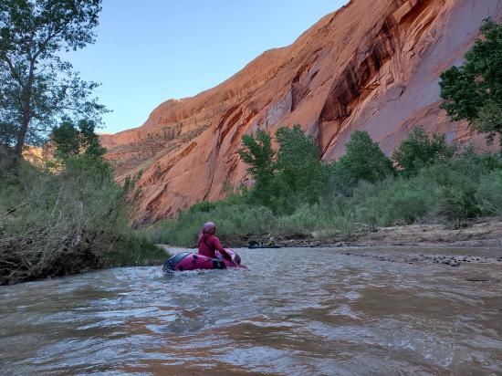
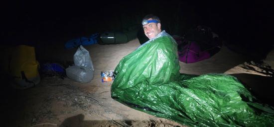
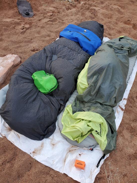
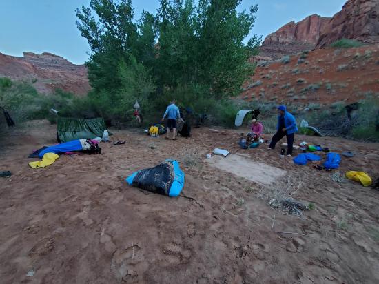
We started packrafting again at 6:00 and floated the remaining 3.4 miles in 1.5 hours, arriving at camp around 7:30. We camped at the bottom of East Moody Canyon on a nice sandy bench. We spread out our gear and had dinner just before dark.
Saturday 5/13
On day 2 of my canyoneering trip, we got up at 6 and were hiking by 7:15. The canyon was a solid 3 stars, and we had a great time. There were several rappels, some down climbs, and some swims.
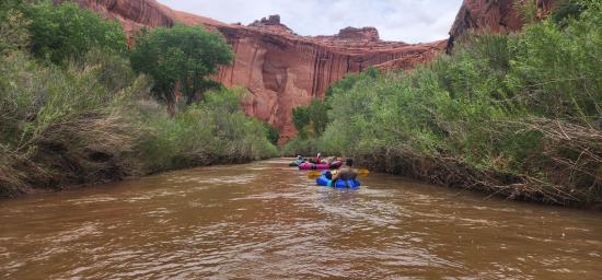
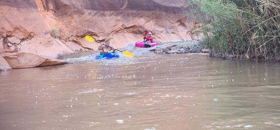
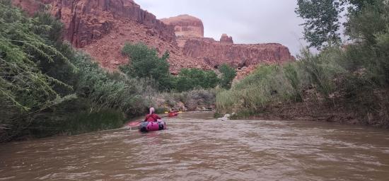
We finished the canyon around 3:30 and then got in our rafts and paddled about 7 miles to our next camp.
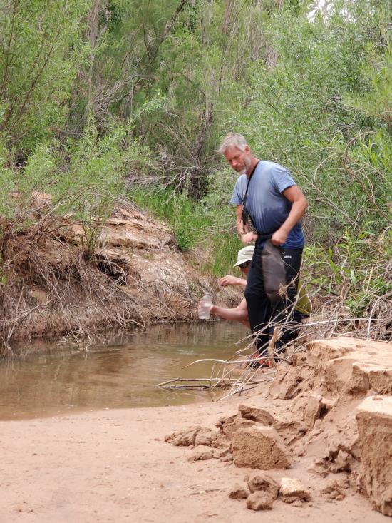
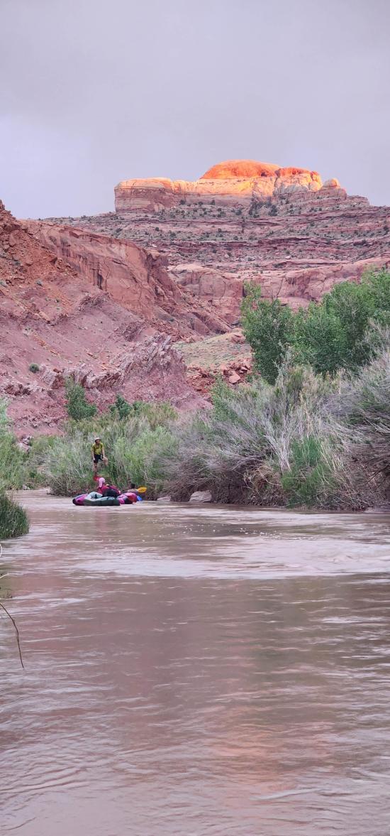
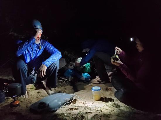
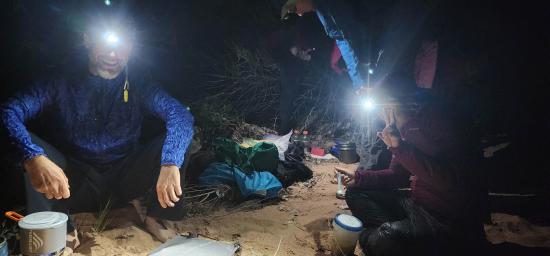
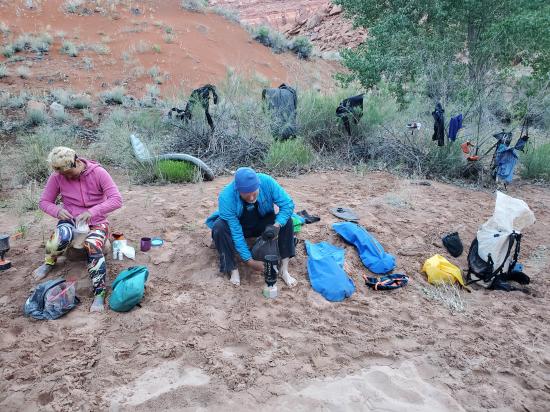
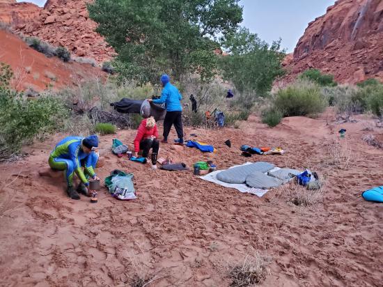
We got to camp at about 8:30, filtered and treated water, set up camp, and made dinner in the dark. It was an exhausting day. And then it rained on everything in the night!
Sunday 5/14
On day 3 of my canyoneering trip, we got up at 6 and were hiking by 8:30. We finished the last rappel around 6:30. We took some pictures of the pretty alcove and then worked very carefully down the canyon.
We tried very hard to avoid all the poison ivy and had to backtrack a few times to try a different path. We got back to camp around 8:00, had dinner, and went to bed.
Monday 5/15
On day 4 of my canyoneering trip, we got up fairly early and started hiking by 7:40. The hike out was a horrible, miserable, terrible, no-fun, grueling, tedious, painful ordeal. We first hiked up a giant sand dune.
Then we walked a shelf around the whole plateau to find a way up the band of cliffs. Then we slogged across the sandy desert for 8 more hours. It got pretty hot in the afternoon. Mark was in a lot better shape than the rest of us and could have done the hike a lot faster, but we took a lot of shade breaks along the way. The exit his was about 12 or 13 miles, and it took us 10.5 hours, way longer than it should have. It likely took us so long because we didn't pack quite enough food to keep our calorie intake where it should have been. I guess that's the cost of packing ultra light! We got to the cars around 6:15.
On the way home, we stopped in Escalante for dinner. I got home about 1:15 AM. What a long and tiring trip. My GPS tracks added up to about 55 miles total over the 4 days, but that's likely a bit high because of GPS wiggles.


 Early Weed Bench Primitive Camping
 Early Weed Bench to Escalante River
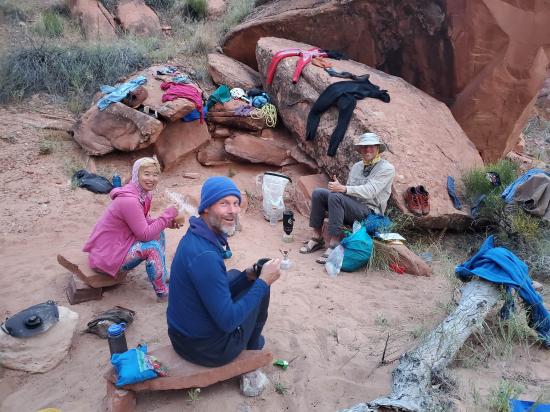
Escalante River Primitive Camp 1
Escalante River Primitive Camp 2
Escalante River Primitive Camp 2
Big Hollow Wash Primitive Camping
Chimney Rock Primitive Camping
Early Weed Bench Primitive Camping
Escalante River Primitive Camp 1
Escalante River Primitive Camp 2
Fence Canyon Primitive Camping
Jacob Hamblin Trailhead Primitive Camping
Micro Death Hollow Primitive Camping
Zebra and Tunnel Trailhead Camping
Dry Fork Narrows of Coyote Gulch
Early Weed Bench to Escalante River
Escalante River to Early Weed Bench
Escalante Interagency Visitor Center
Camping at Halls Creek and Millers Creek Confluence
Escalante River Primitive Camp 1
Escalante River Primitive Camp 2
Fence Canyon Primitive Camping
Iceberg Canyon Primitive Camping
Navajo Canyon Primitive Camping
Stud Horse Point Primitive Camping
West Canyon Primitive Camping 1
West Canyon Primitive Camping 2
Baboon Laughs Canyon (aka Laughing Baboon Canyon)
Poe Canyon (aka Smiling Cricket Canyon)
Early Weed Bench to Escalante River
Escalante River to Early Weed Bench
Lee's Ferry Historic District River Trail
Navajo Bridge Interpretive Center
 Paddling
 Rivers and Streams
 Non-potable Water - filterable
 Fire Pans Required
 Wayfinding
 No Restrooms
 Road Access is Paved
 Road Access is Dirt - High Clearance
 Access Road is 2WD Accessible
 Access Road is 4WD
 Viewpoint, Overlooks, Vistas
 Wildflowers and Vegitation
 Wildlife and Birding