 Canyoneering | Catstair Canyon


Hype:
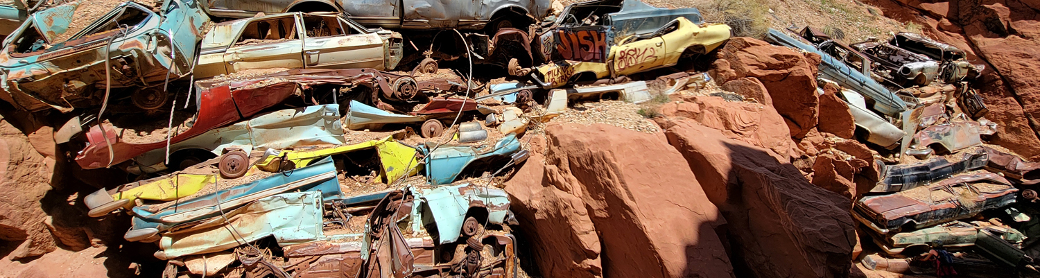
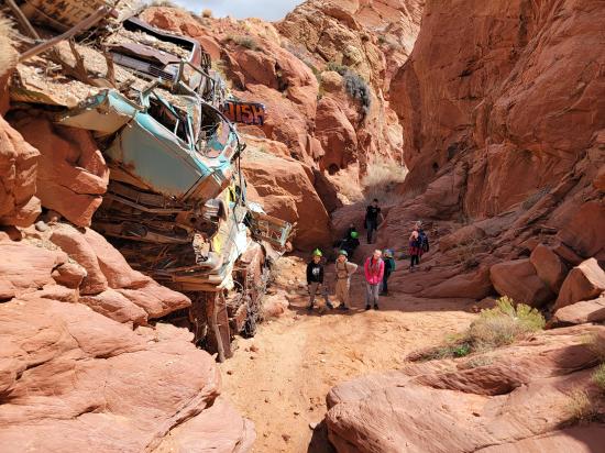
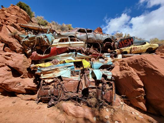
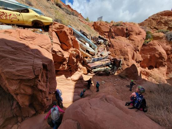
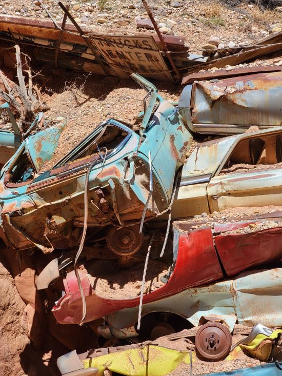
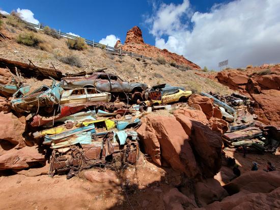
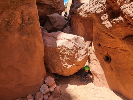
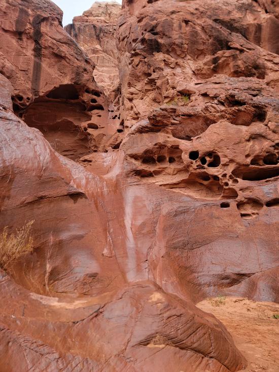
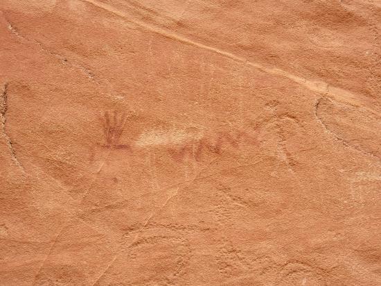
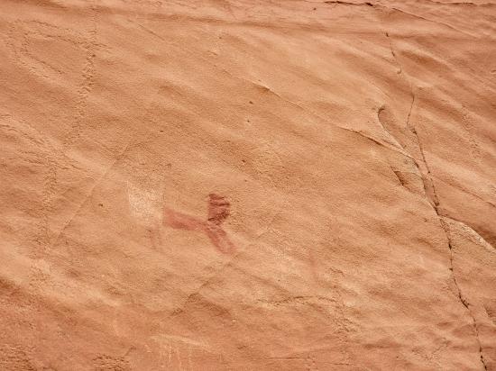
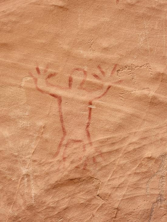
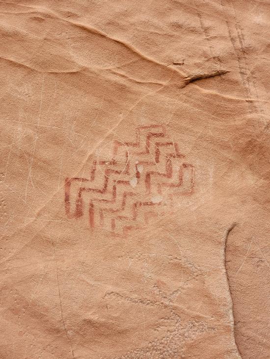
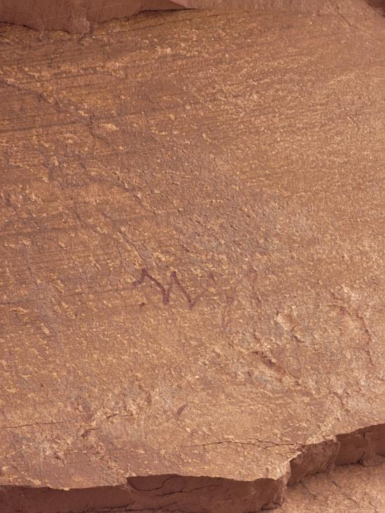
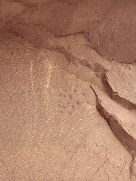
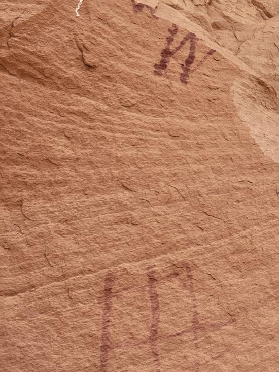
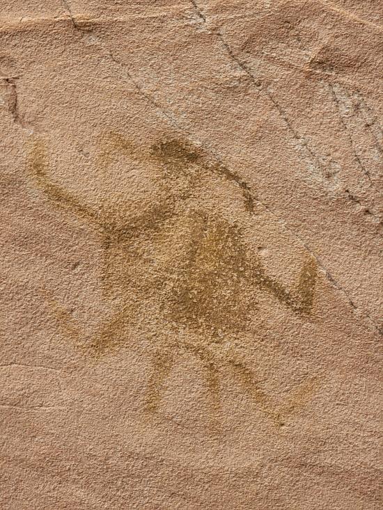
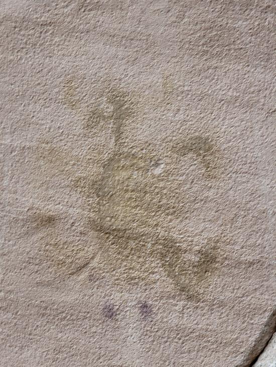
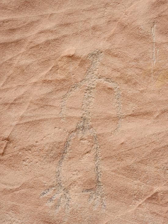
Catstair Canyon is a short, roadside canyon in southern Utah featuring a unique retaining wall made of stacked cars and ancient petroglyphs and pictographs. It's a convenient stop along US-89 between Kanab and Page, offering a beginner friendly technical canyoneering route that includes scrambling, down-climbing, and 1 or 2 rappels. The canyon's most distinctive features are the car retaining wall and the historical rock art located near the end of the canyon.
Canyon Rating: 3A 
Time: 2-3 hours
Length: 0.1 mile approach, 0.5 mile canyon, 0.5 mile exit
Longest Rappel: 1-2 rappels up to 65 feet
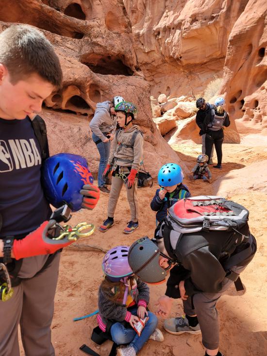
Gear: Standard canyoneering gear if doing the full canyon route as described here.
Fees: None
Recommended Ages:
 | 0-3 |
 | 4-11 |
 | 12-19 |
 | 20-49 |
 | 50-69 |
 | 70+ |
Recommended Months to Visit:
| Jan |
| Feb |
| Mar |
| Apr |
| May |
| Jun |
| Jul |
| Aug |
| Sep |
| Oct |
| Nov |
| Dec |
Links: https://www.roadtripryan.com/go/t/utah/escalante/catstair-canyon
Navigate to 37.127203, -111.965712.
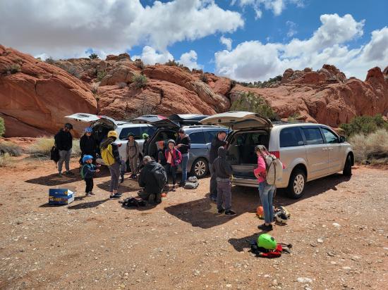
Park in the pullout on the south side of the road.
Alternatively, if you only want to see the rock art or want to provide a shuttle vehicle for the canyon route to avoid walking along the shoulder of the road on the exit, you can park a car 0.7 miles to the east at 37.126438°, -111.954831°.
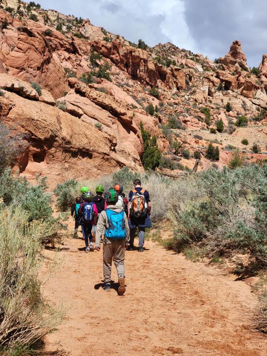
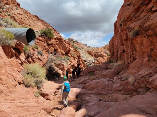
From the parking area, head south 0.1 miles until you enter the drainage.
Follow the drainage to the northeast.
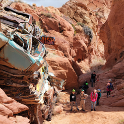
In a few minutes, you'll see a stack of old cars used to stabilize the soil for the road above.
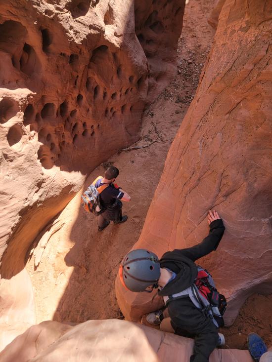
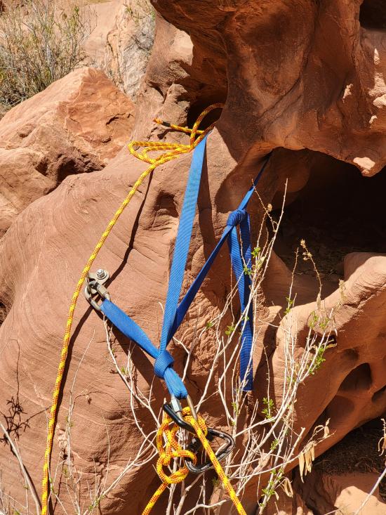
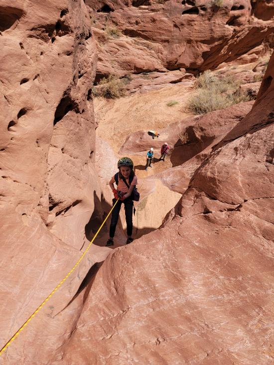
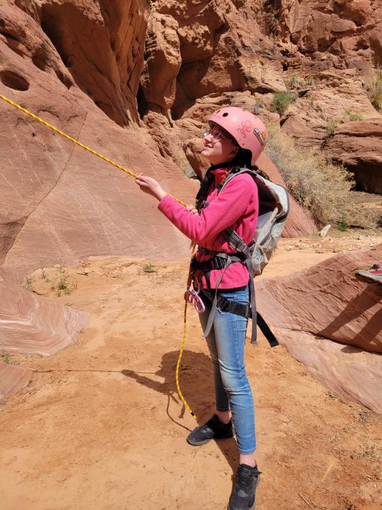
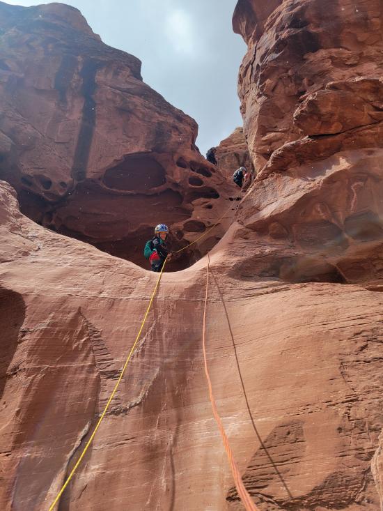
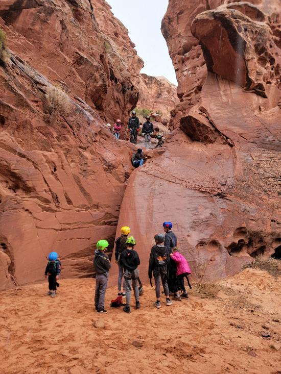
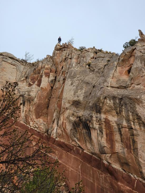
Continue down canyon until you reach the first drop. If you're hiking, this is where you'll want to turn around. If you're canyoneering, put on your harness and rappel 65 feet from a bolted anchor. The rappel has an easy start and two stages.
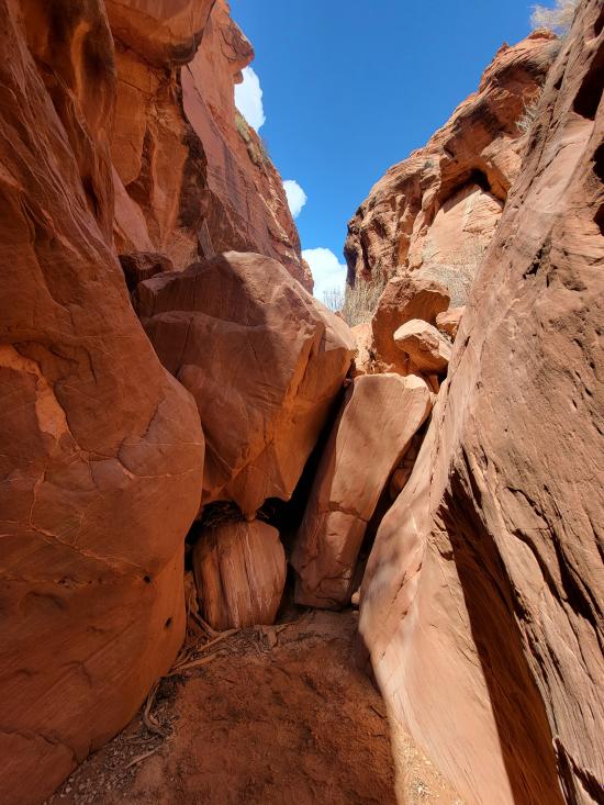
Shortly after the first drop is the final drop. Most beginners will want to rappel this drop, but more advanced canyoneers will likely choose to downclimb it. Sling a boulder with 50 ft of webbing, then rappel 30 ft down an awkward crack.
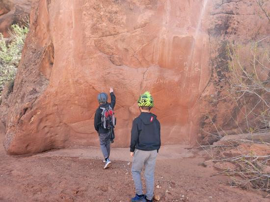
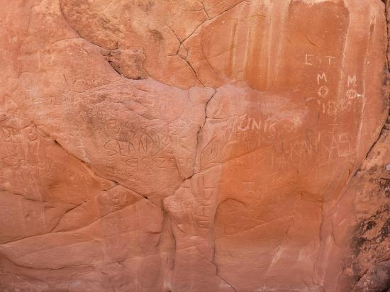
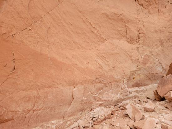
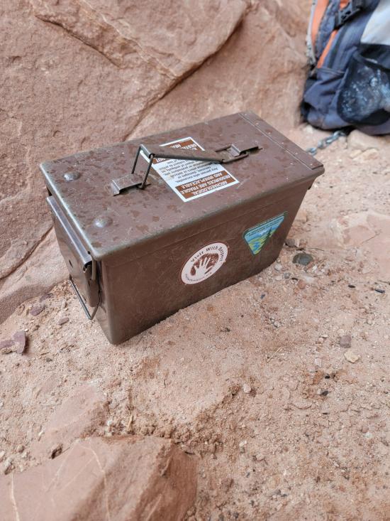
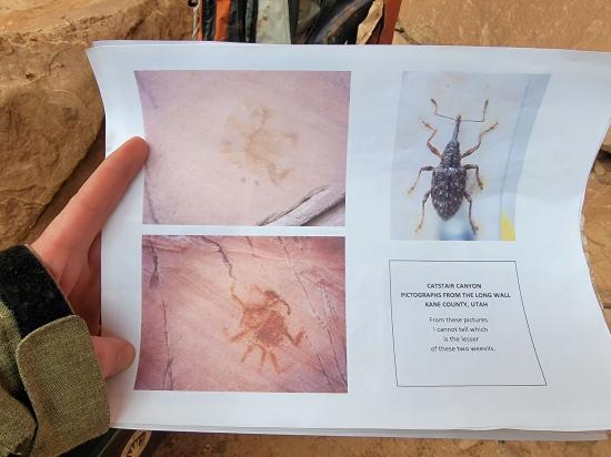
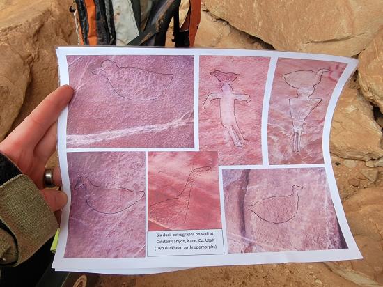
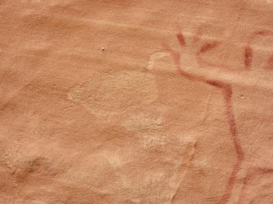
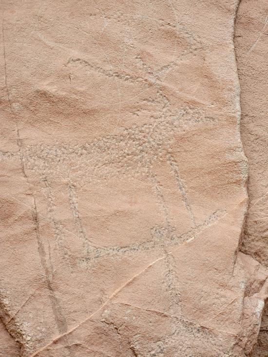
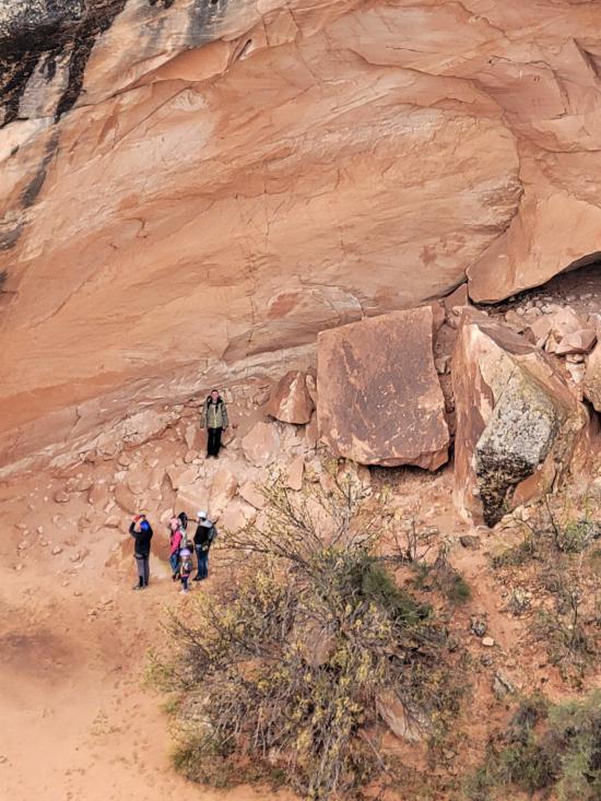
At the bottom of the canyon is some rock art on the south canyon wall. When we were there, there was an ammo box with printouts of the rock art to help visitors identify the different art panels. These petroglyphs and pictographs are often visited by hikers entering from the trailhead to the east.
Once at the bottom of the canyon, the traditional route is to scramble up the north canyon wall up to the road, then walk along the shoulder of the road back to your car.
Alternatively, if you have an extra vehicle and parked a shuttle vehicle at the east pullout, you would continue east, following the obvious social trail.
By Jeremy Dye
Jeremy Dye, Tara Dye, Savannah Dye, Madilyn Dye, Cooper Dye, Matt Laurendeau, Amanda Laurendeau, Alex Laurendeau, Caleb Laurendeau, Rose Laurendeau, Lila Laurendeau, Trey Laurendeau,
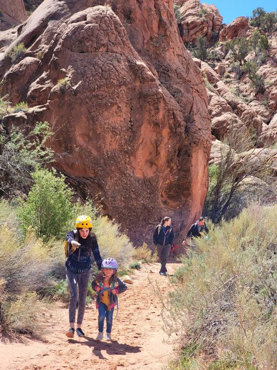
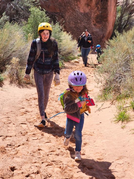
On Thursday of fall break, we packed lunches and gear and headed south to Catstair Canyon. The Pattersons had never done canyoneering before but wanted to give it a try, so we thought that would be a good beginner canyon to take them through. Also, because of the snow in the forecast, we decided not to do our original plan of Diana's Throne Canyon because we are afraid it would be too long. Catstair Canyon ended up being just the right amount of difficulty for the group.
There were two rappels, and we got down and through in just the right amount of time. It started snowing pretty hard on the last rappel, but people were in good spirits still.
We almost missed the petroglyphs as we're hiking out but then saw a sign for them and turned around to take some pictures before leaving.
Stud Horse Point Primitive Camping
Vermilion Cliffs National Monument
Buckskin Gulch and Paria Canyon from Wire Pass to Lees Ferry
Lee's Ferry Historic District River Trail
 Hiking Trails
 Road Access is Paved
 Downclimbs
 Viewpoint, Overlooks, Vistas
 Wildflowers and Vegitation
 Pets Allowed
 Rappels
 Wetsuit Generally Not Required
 No Drinking Water
 Slot Canyon
 No Restrooms
 Wildlife and Birding
 Petroglyphs and Pictographs
 Fixed Anchors


