 Hiking | Toadstool Hoodoos


Hype:
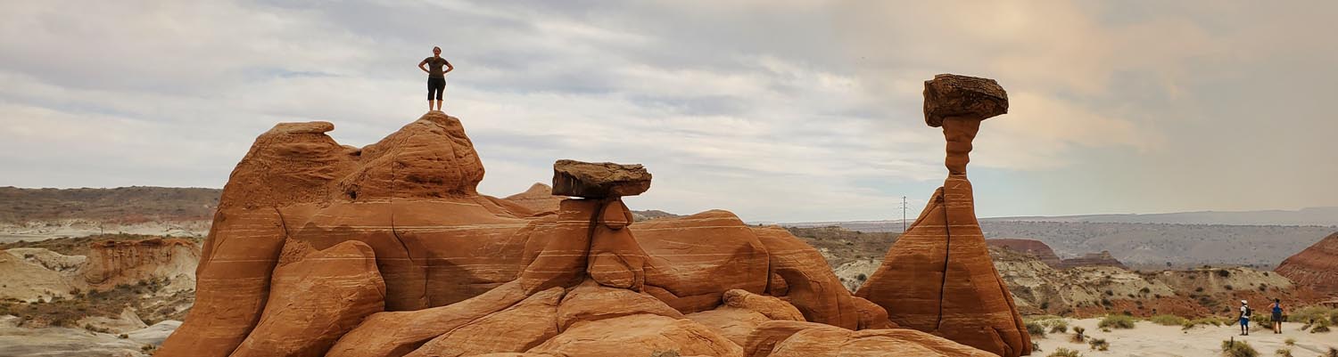
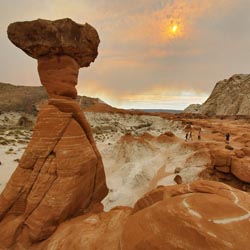
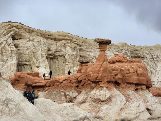
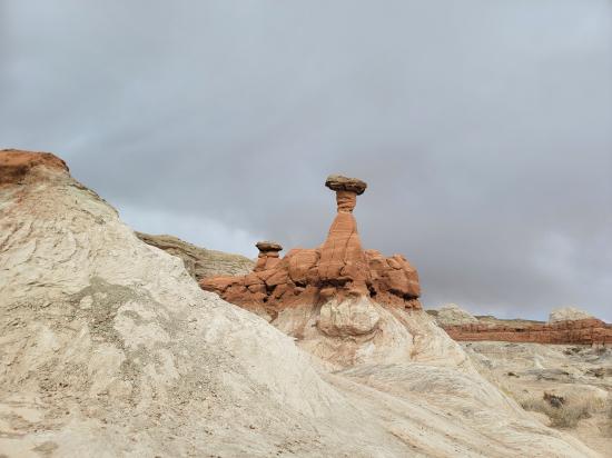
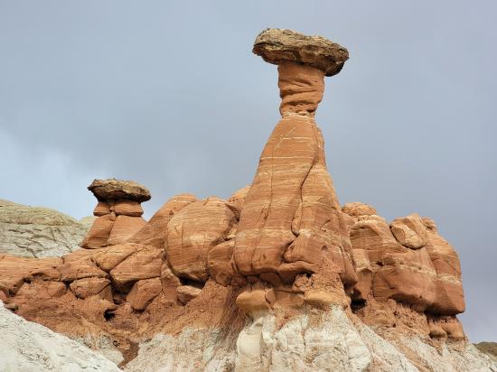
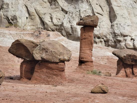
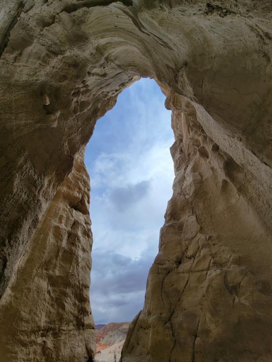
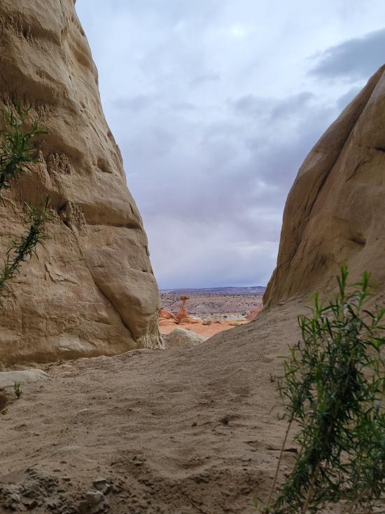
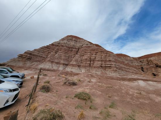
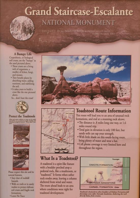
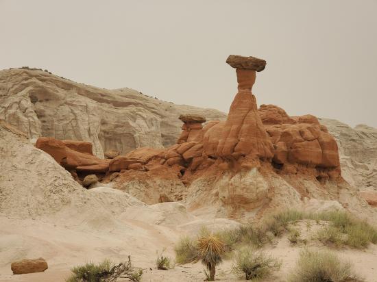
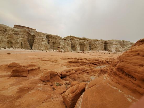
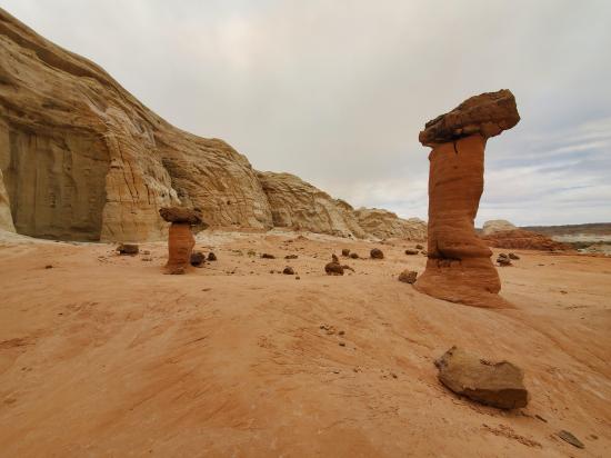
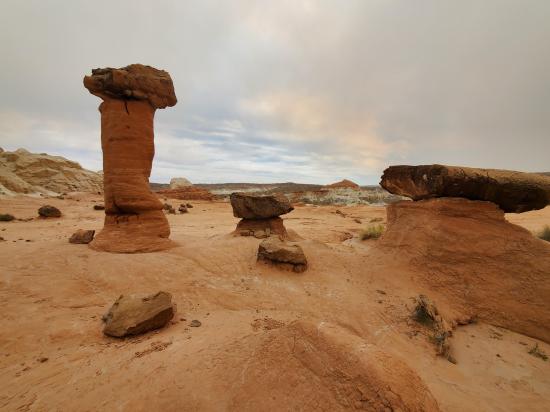
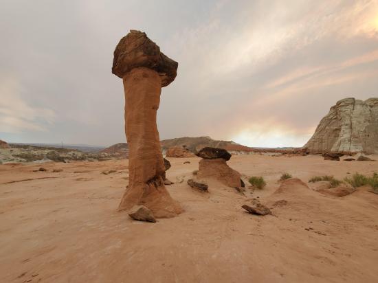
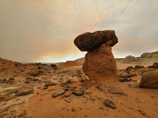
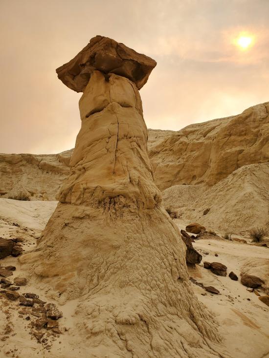
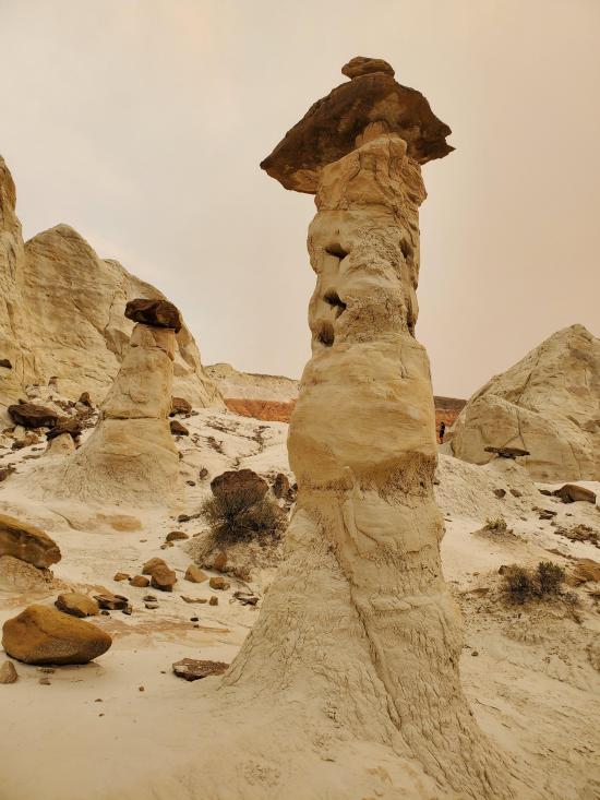
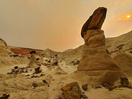
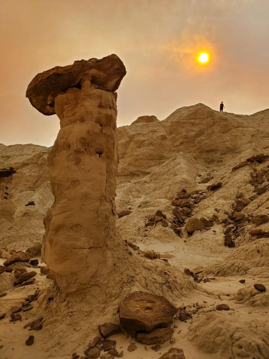
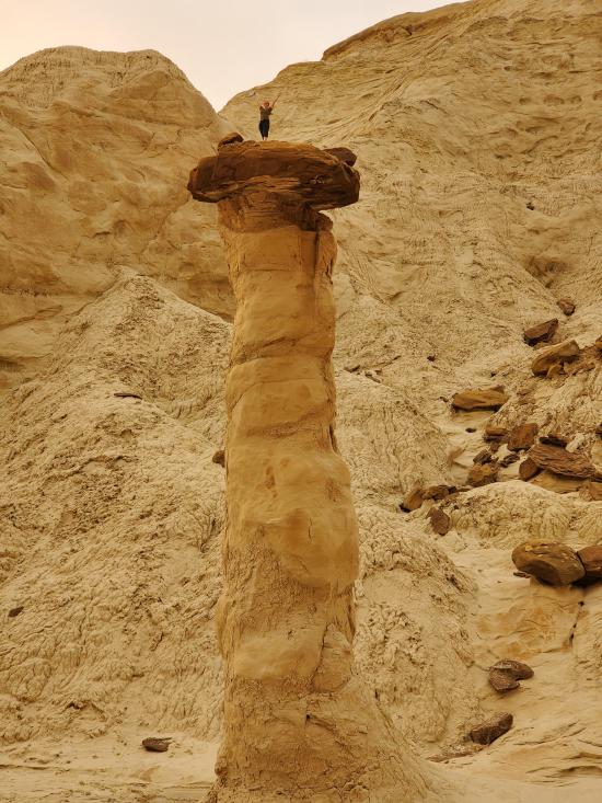
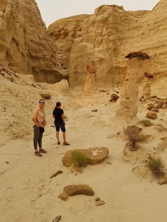
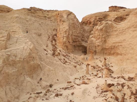
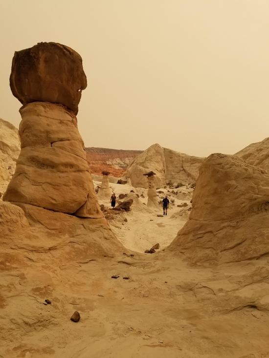
The Toadstool Hoodoos are an amazing collection of hoodoos, badlands, and other interesting rock formations found in the area located between the Cockscomb Fault and the southern section of Cottonwood Canyon Road just north of US 89. The base of Toadstool Hoodoo is Entrada sandstone and the caprock is Dakota sandstone. Its unique shape is due to erosion.
Trail Condition: Class 2 (Trail may have tree roots or rocks jutting out. Navigation skills may consist of following rock cairns and choosing turns at junctions. Elevation gains may be more substantial.)
Time: 1-2 hours
Length: 1.5-2 miles round trip
Elevation Gain: 200 ft
Fees: None
Recommended Ages:
 | 0-3 |
 | 4-11 |
 | 12-19 |
 | 20-49 |
 | 50-69 |
 | 70+ |
Recommended Months to Visit:
| Jan |
| Feb |
| Mar |
| Apr |
| May |
| Jun |
| Jul |
| Aug |
| Sep |
| Oct |
| Nov |
| Dec |
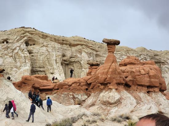
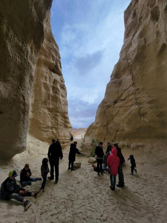
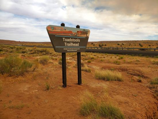
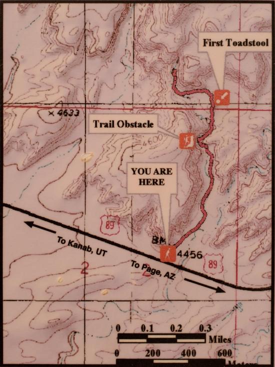
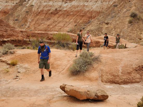
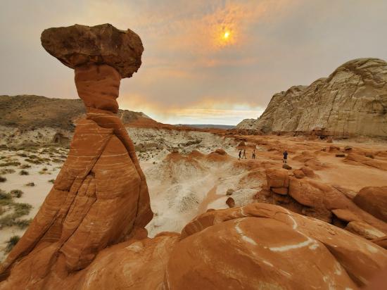
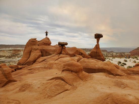
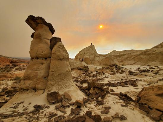
From the trailhead, hike northeast for 0.6 miles to the Main Red Toadstool Hoodoo. Many people will turn around at this point, but there are other hoodoos nearby. About 350 feet to the northeast are a collection of small hoodoos which I have labeled as the East Hoodoos. Also, around the corner to the west about 0.2 miles are several white toadstool hoodoos. You can also continue further west to "The Rimrocks, a collection of 3 very tall white hoodoos.
By Jeremy Dye
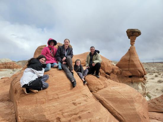
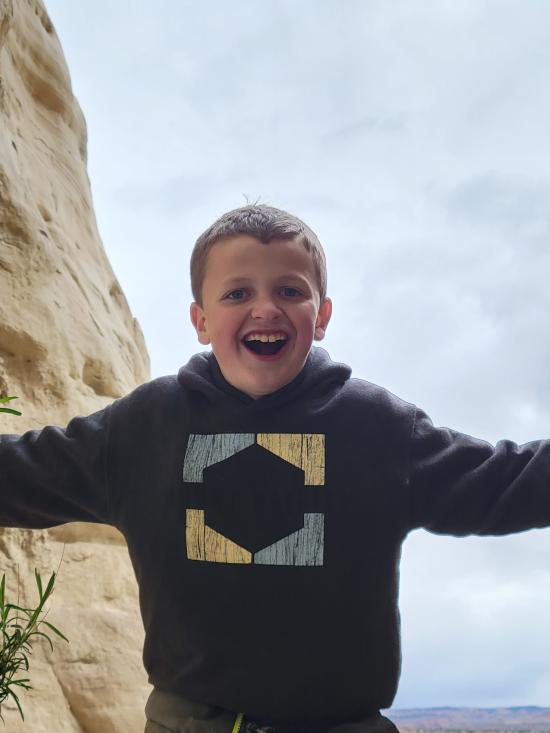
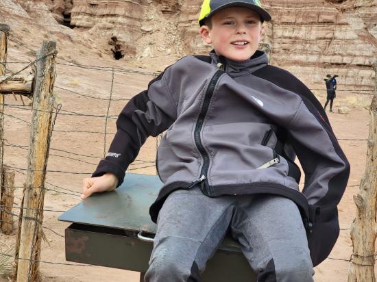
Jeremy Dye, Tara Dye, Savannah Dye, Madilyn Dye, Cooper Dye, Matt Laurendeau, Amanda Laurendeau, Alex Laurendeau, Caleb Laurendeau, Rose Laurendeau, Lila Laurendeau, Trey Laurendeau,
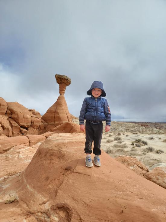
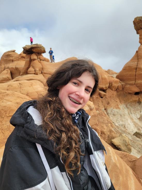
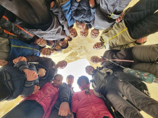
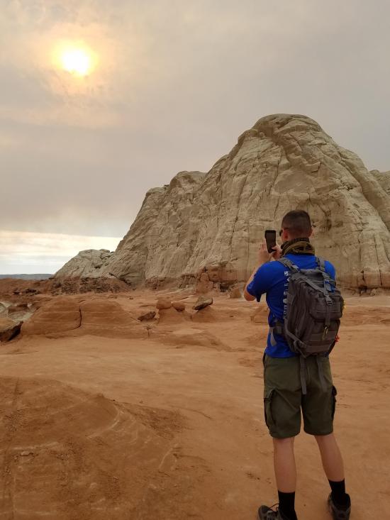
After the canyon, we drove down the road to the Toadstool Hoodoos and hiked out to take some pictures and explore. That was a lot of fun.
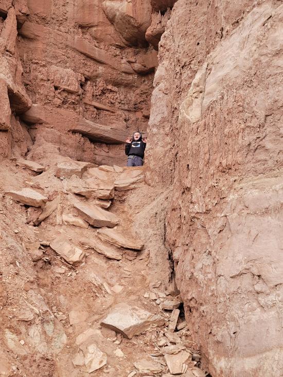
On the hike back, I gave Trey a shoulder ride. As I was walking across a steep ledge with drop offs on both sides, Caleb played peekaboo with Trey, and Trey tried to turn around on my shoulders to look at Caleb. He did it very abruptly, twisting my head in the process and almost making me fall.
By Jeremy Dye
Jeremy Dye, Tara Dye, Ondylyn Wagner, Shawn Parker, Marci Parker, Becca Bevan,
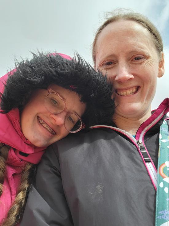
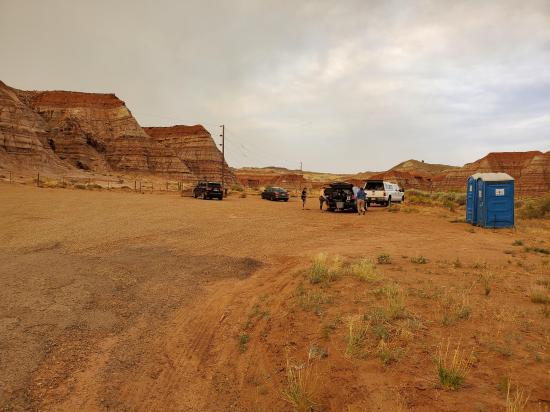
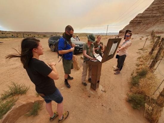
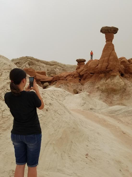
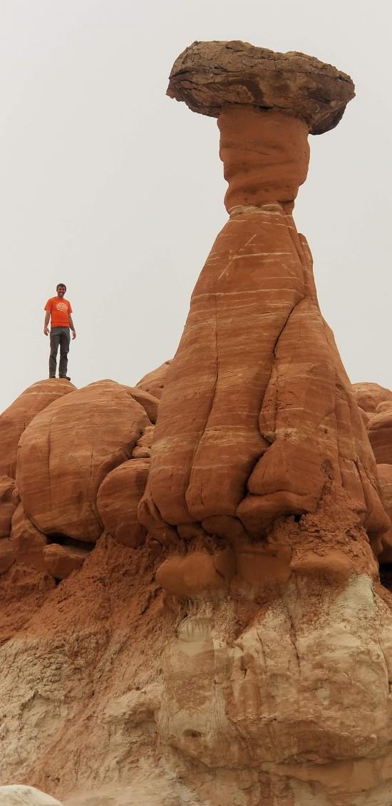
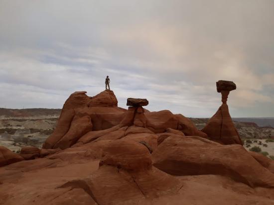
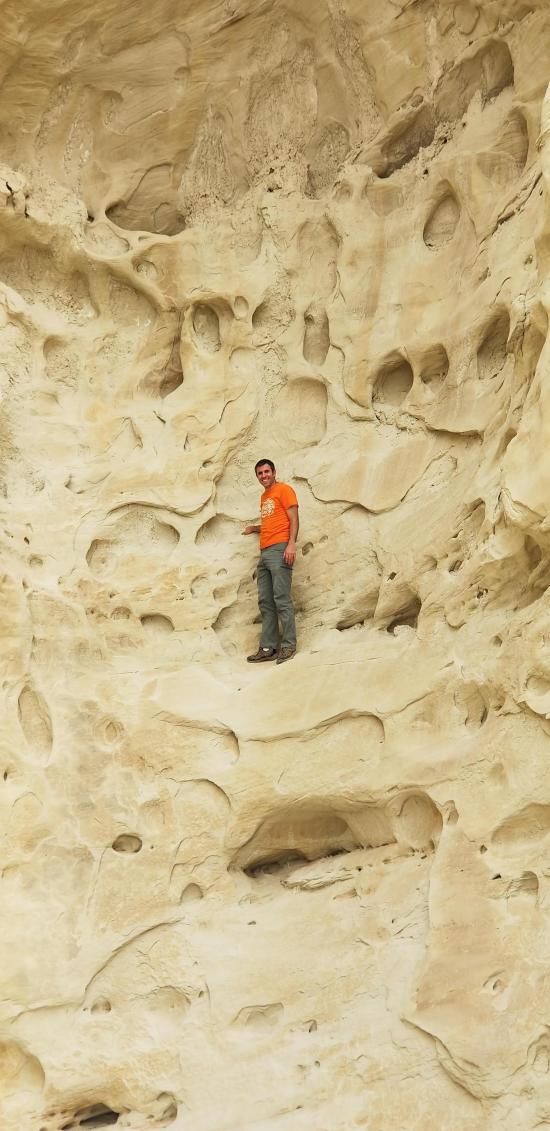
Because of the Mangum wildfire, the air was full of smoke during our trip. We hiked up to the first group of hoodoos and played around. We explored a little bit before heading around the corner to the second grouping of hoodoos. We had fun with some forced perspective photography, making it look like Tara was standing on top of a giant hoodoo when in reality she was on the ridge behind the hoodoo.


Stud Horse Point Primitive Camping
Vermilion Cliffs National Monument
Buckskin Gulch and Paria Canyon from Wire Pass to Lees Ferry
Lee's Ferry Historic District River Trail
Big Hollow Wash Primitive Camping
Chimney Rock Primitive Camping
Early Weed Bench Primitive Camping
Jacob Hamblin Trailhead Primitive Camping
Micro Death Hollow Primitive Camping
Skutumpah Road Primitive Camping
Zebra and Tunnel Trailhead Camping
Dry Fork Narrows of Coyote Gulch
 Hoodoos
 No Drinking Water
 Wayfinding
 Marked Trails
 No Restrooms
 Road Access is Paved
 Access Road is 2WD Accessible
 Hiking Trails


